Elevation of Peace No., AB, Canada
Location: Canada > Alberta > Division No. 19 >
Longitude: -117.73587
Latitude: 56.1080813
Elevation: 607m / 1991feet
Barometric Pressure: 94KPa
Elevation Map:
Satellite Map:
Related Photos:

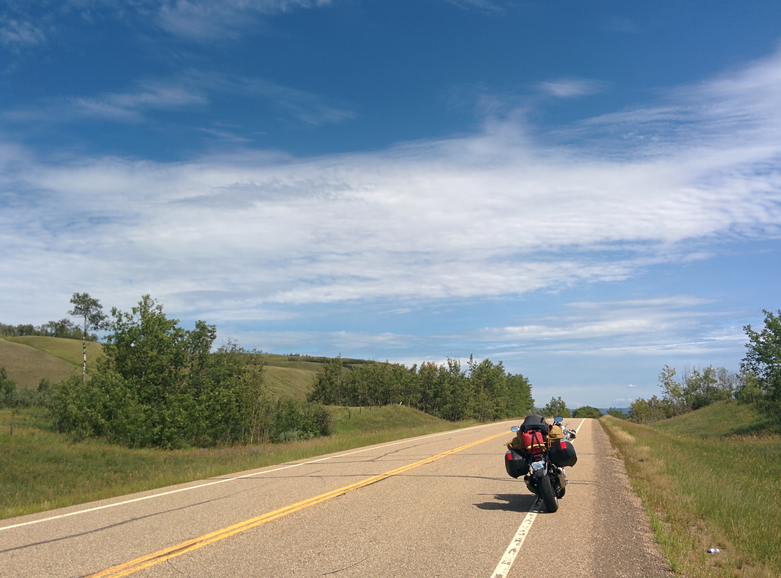
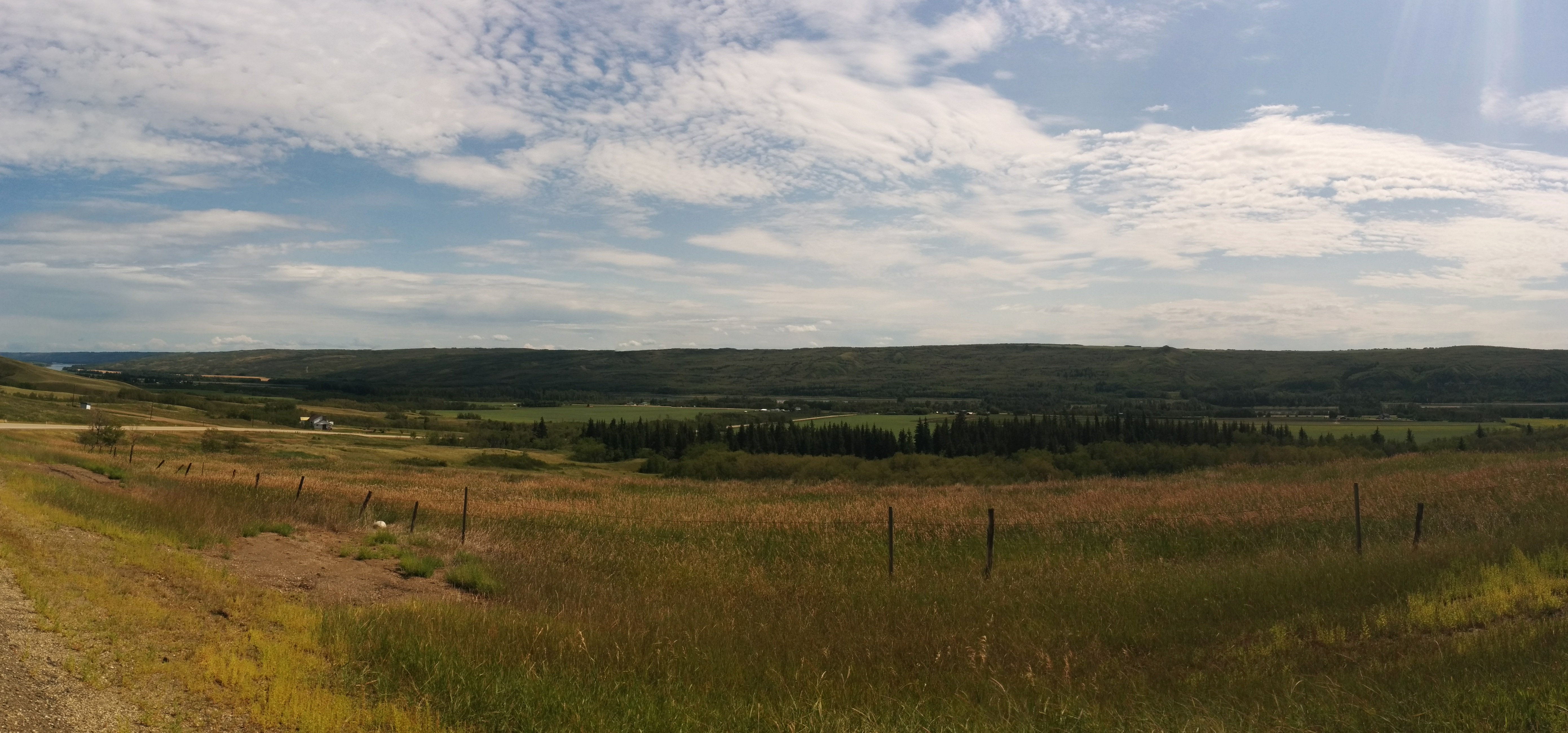
This view for days
Shaftesbury Ferry leaves with another load. reminds me of the Merv Hardy across the Mackenzie before the bridge was built
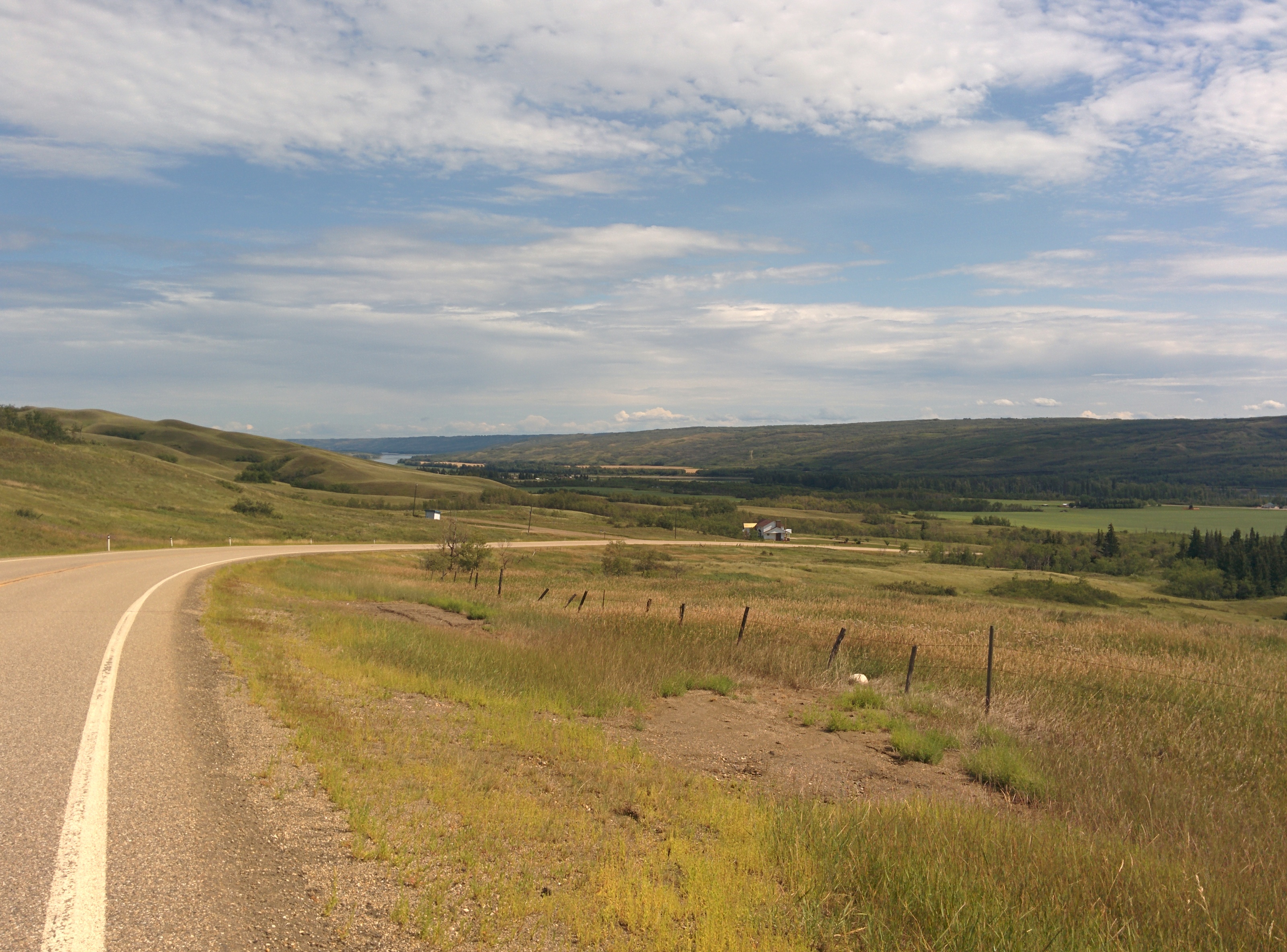
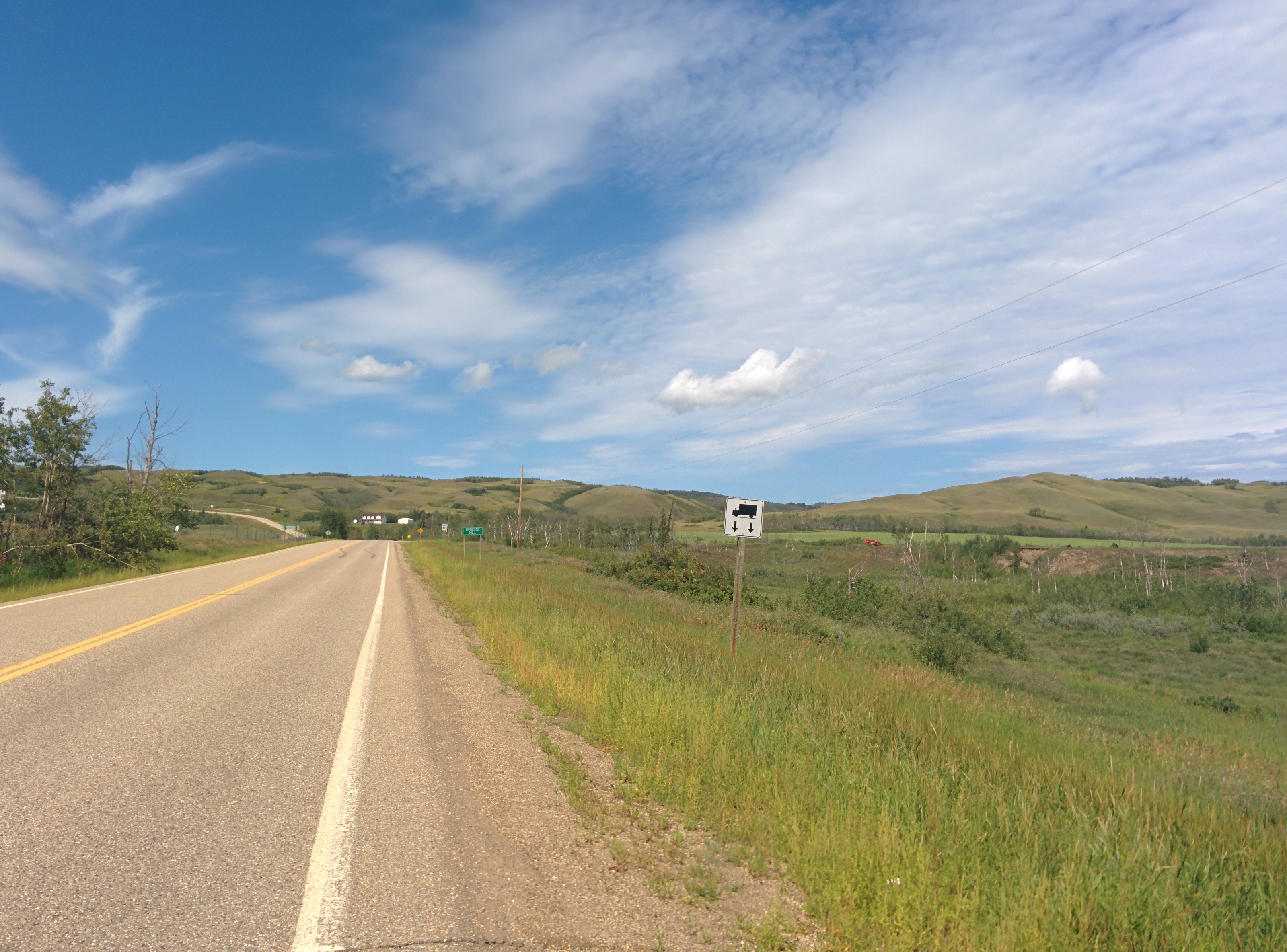
Descending into the valley
Shaftesbury Trail

canola and a pond
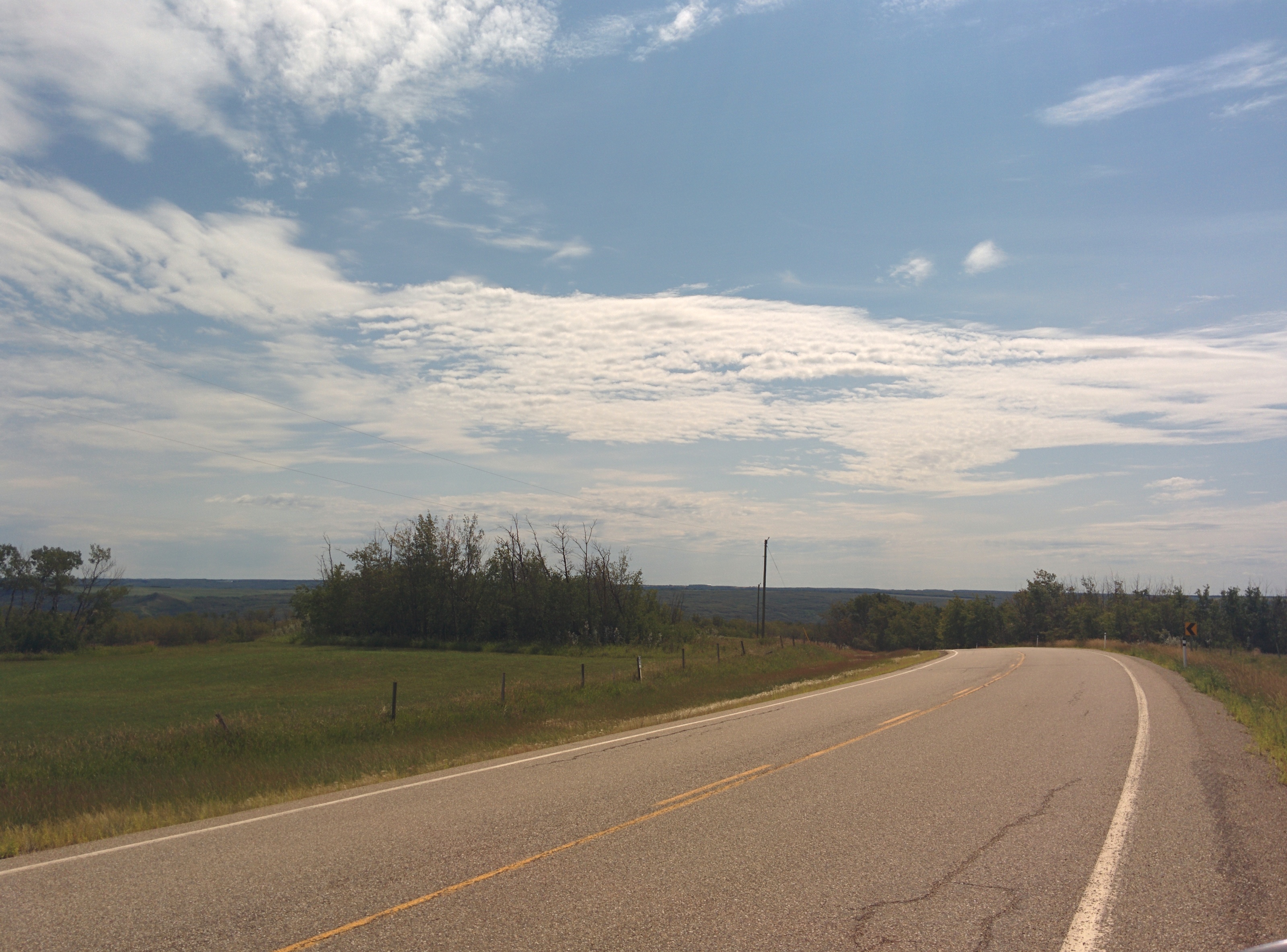
New route of choice between Grimshaw and Grande Prairie: 740.
It's hot down in the valley.
Descending into Peace River valley outside Grimshaw
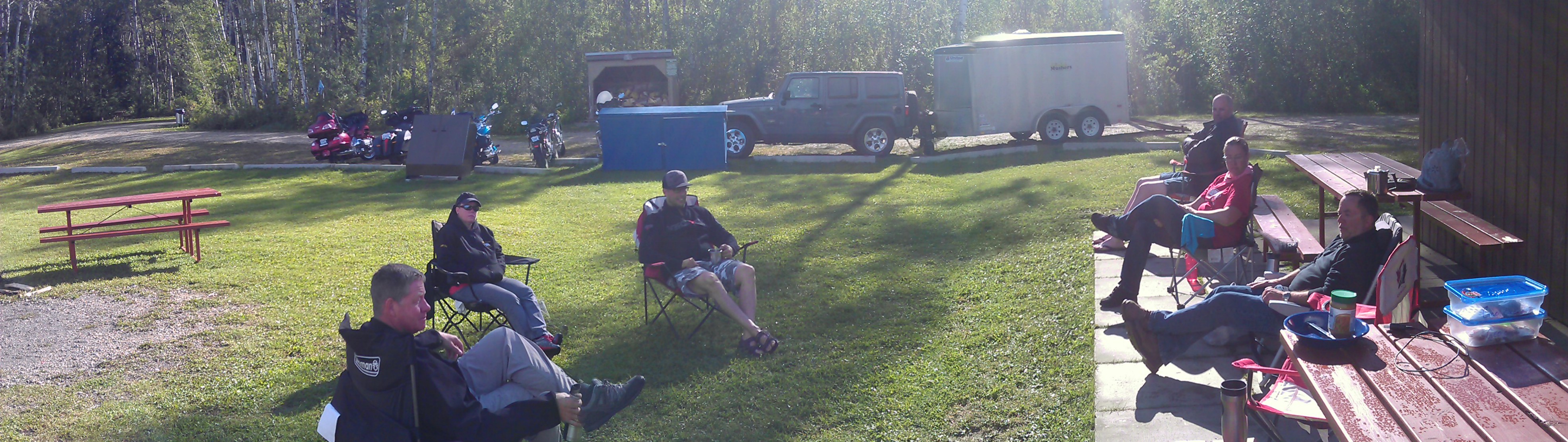
Morning coffee with the YK Mushers
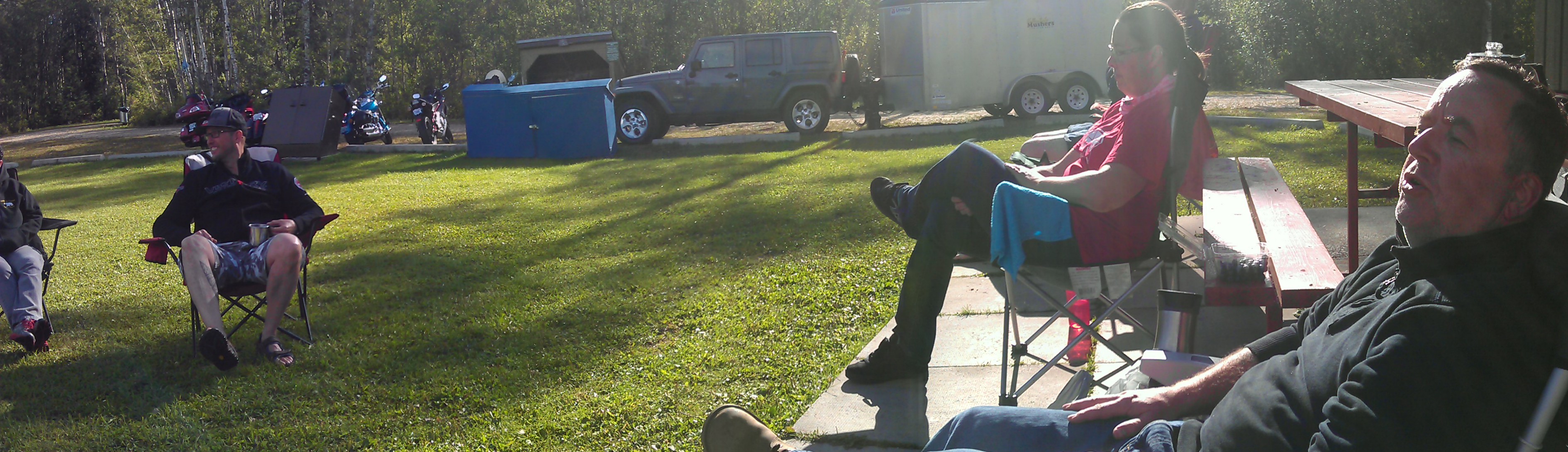
Morning coffee with the YK Mushers
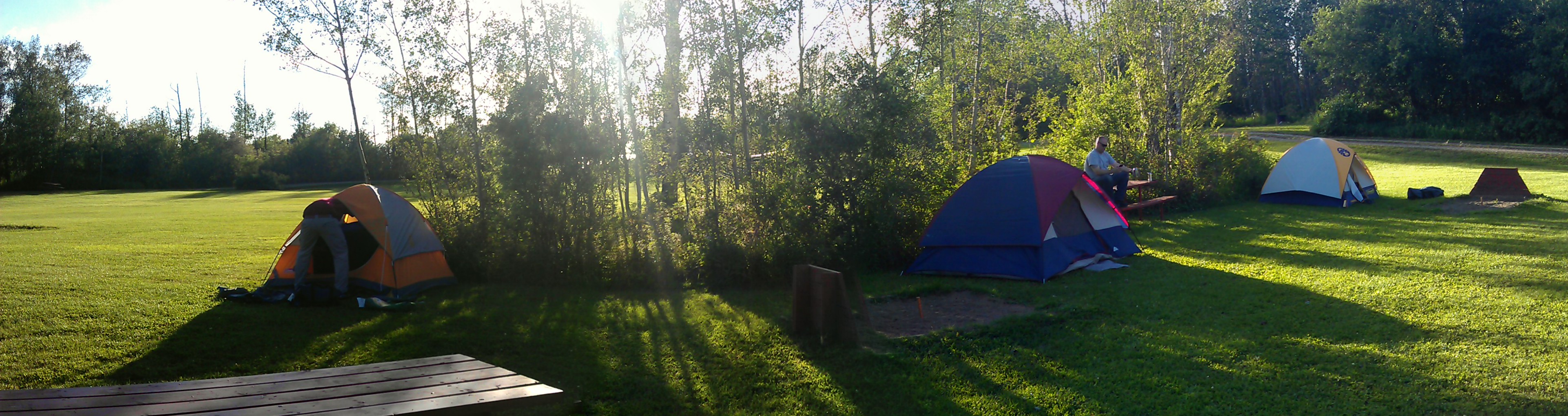
Panorama at Queen Elizabeth Park, Grimshaw Alberta
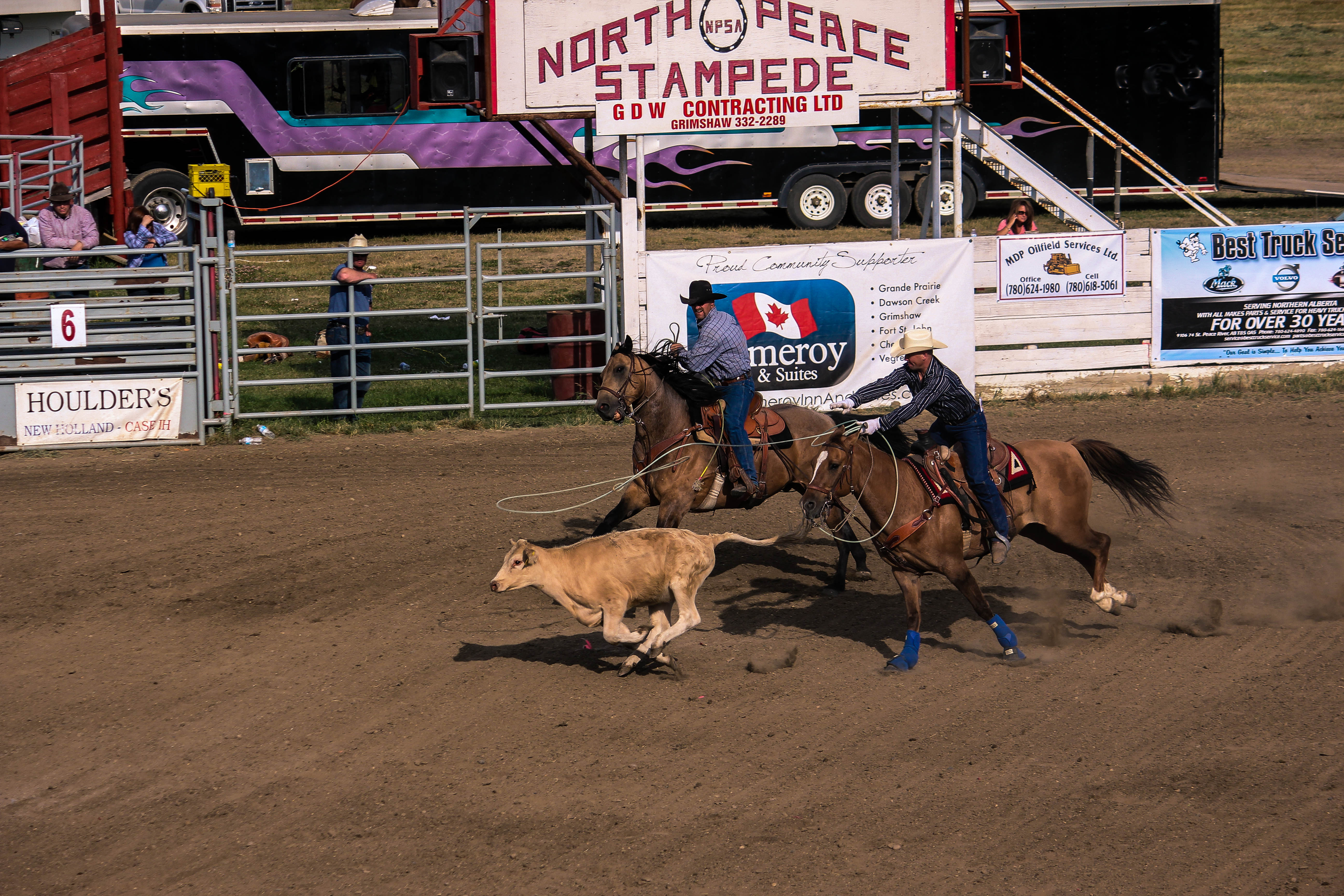
Team roping
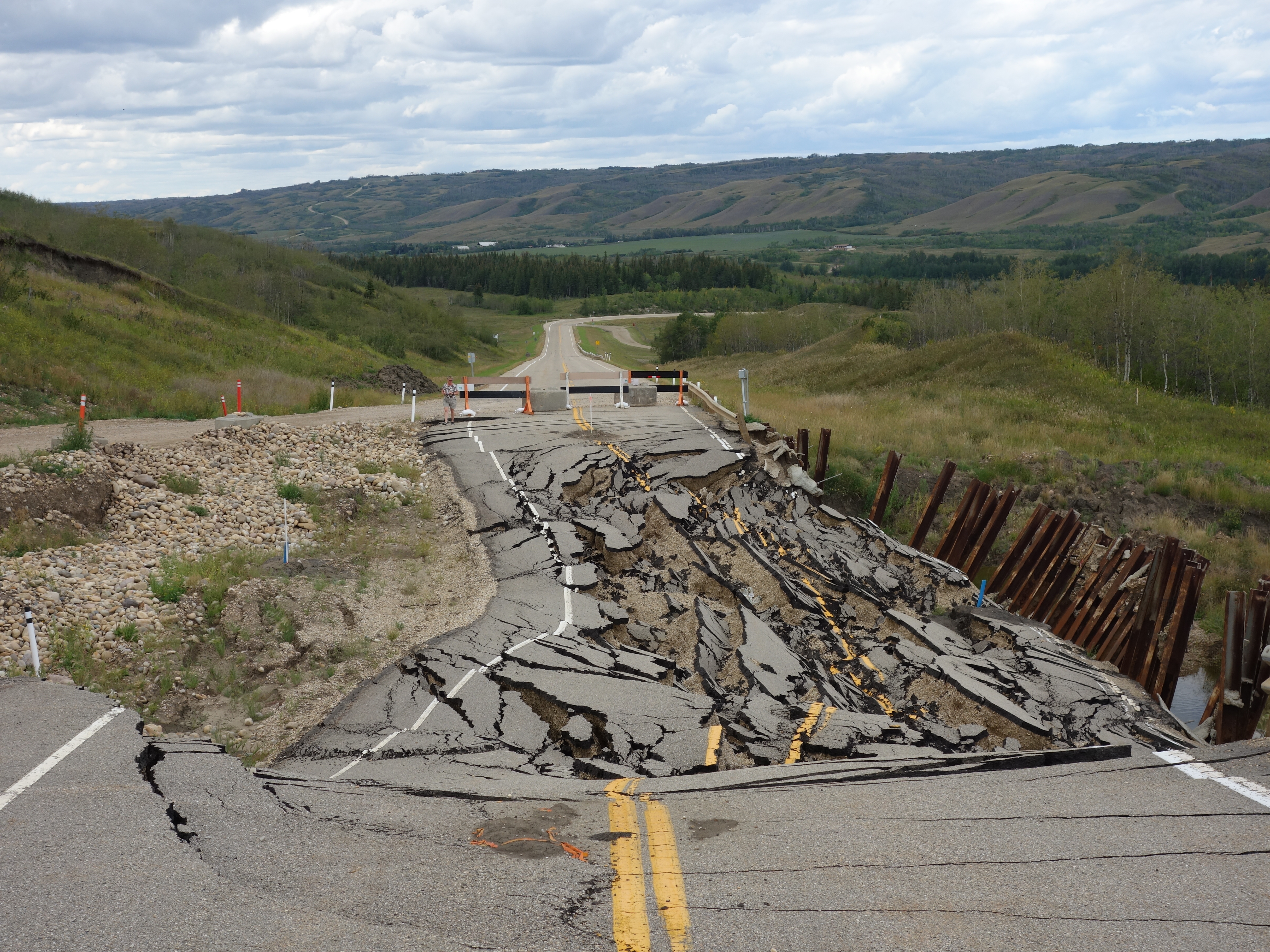
Road collapse
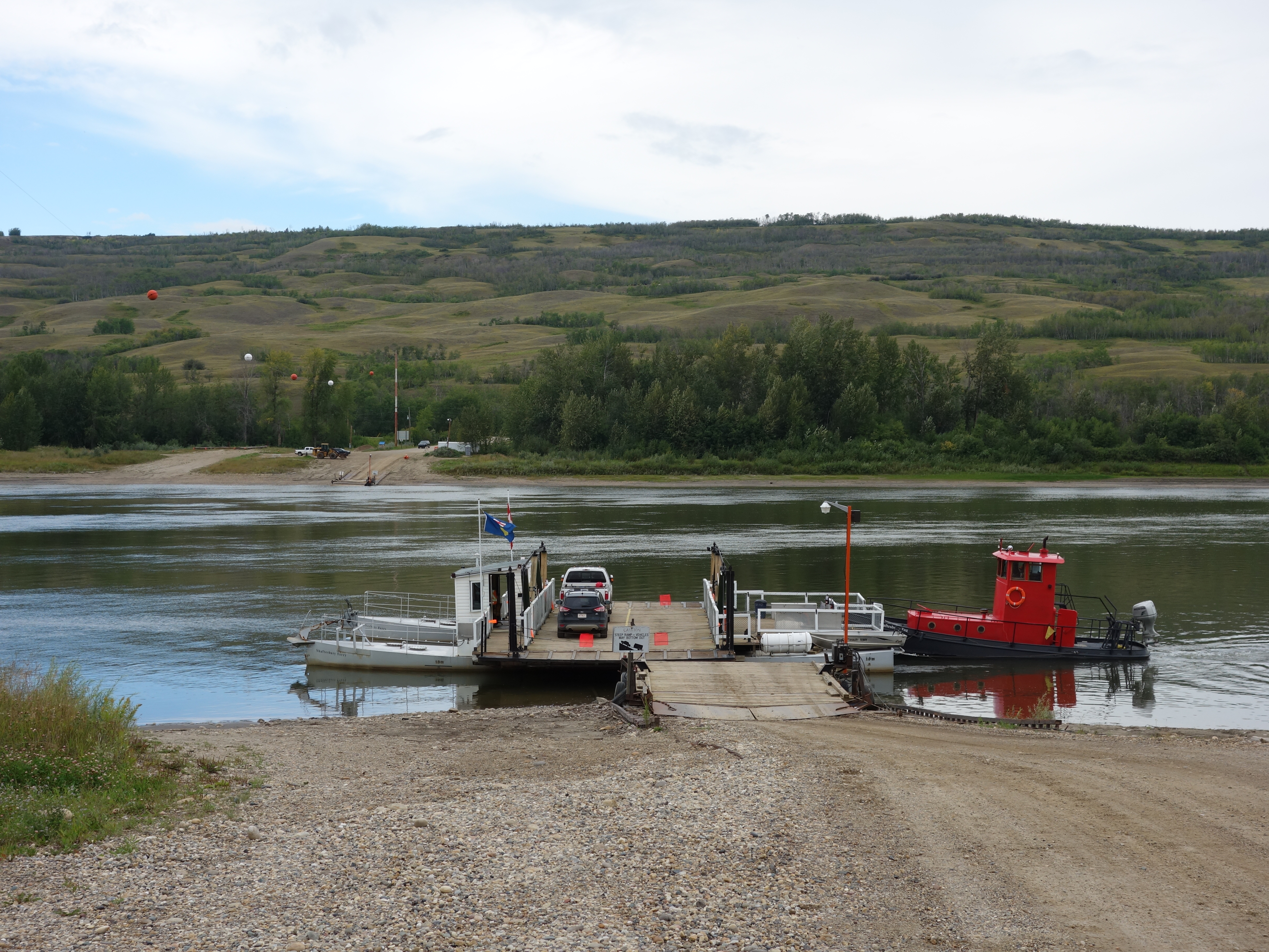
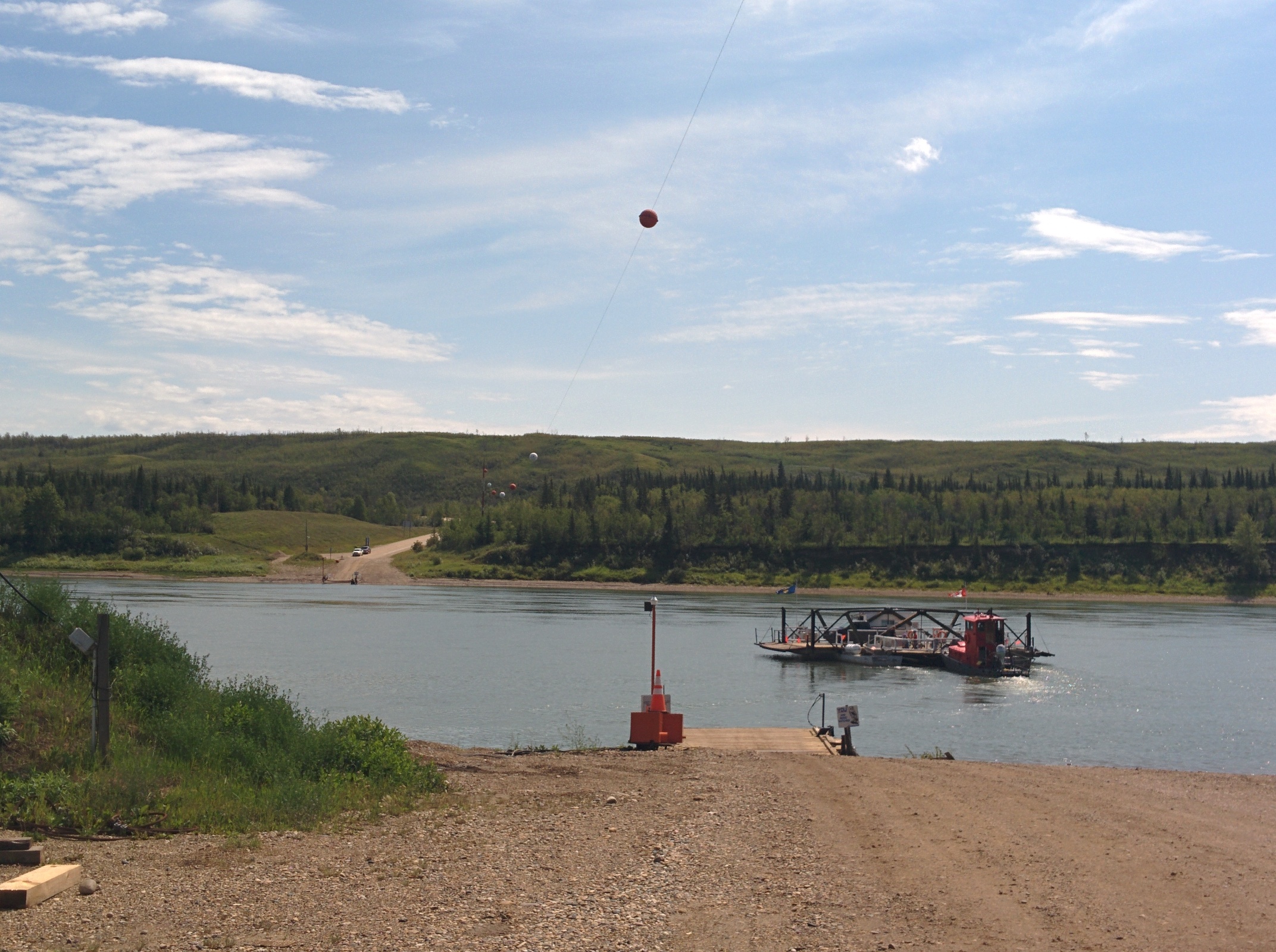
Shaftesbury Ferry

Shaftesbury Ferry
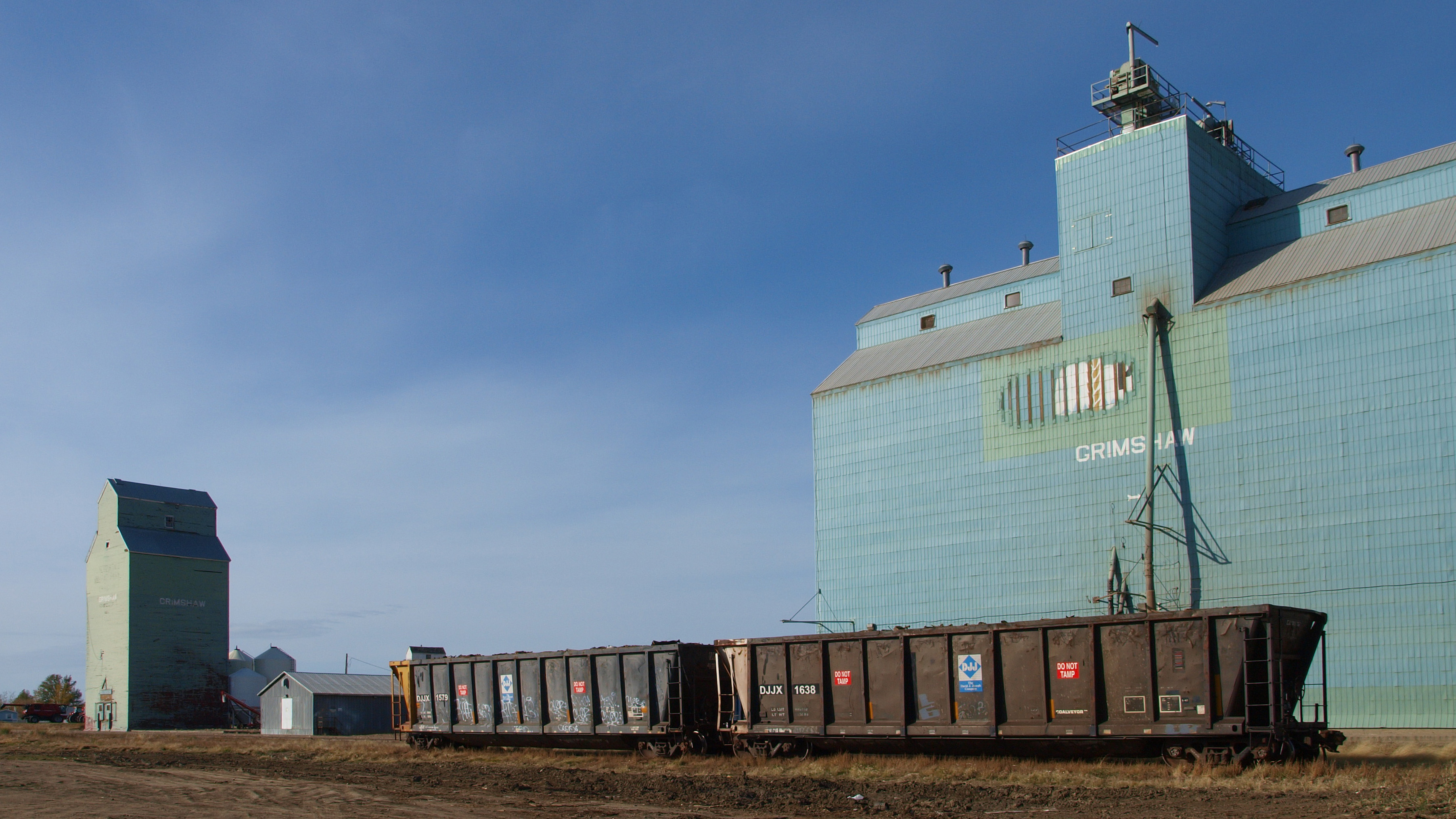
Grimshaw Alberta Grain Elevator
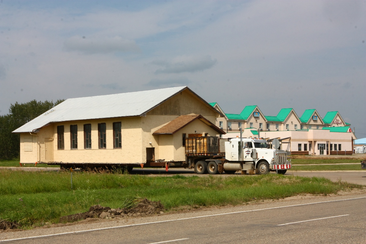
Church on the move

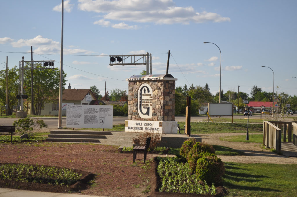
Mackenzie Mile 0
20100601-25
Topographic Map of Peace No., AB, Canada
Find elevation by address:

Places in Peace No., AB, Canada:
Places near Peace No., AB, Canada:
Berwyn
Municipal District-peace
Grimshaw
Brownvale
AB-, Brownvale, AB T0H 0L0, Canada
Peace River
Girouxville
50 St, Girouxville, AB T0H 1S0, Canada
Nampa
Sacred Heart Community Health Centre
Mclennan
1 St NE, McLennan, AB T0H 2L0, Canada
Valleyview
Recent Searches:
- Elevation of 3 Nestling Wood Dr, Long Valley, NJ, USA
- Elevation of Ilungu, Tanzania
- Elevation of Yellow Springs Road, Yellow Springs Rd, Chester Springs, PA, USA
- Elevation of Rēzekne Municipality, Latvia
- Elevation of Plikpūrmaļi, Vērēmi Parish, Rēzekne Municipality, LV-, Latvia
- Elevation of 2 Henschke Ct, Caboolture QLD, Australia
- Elevation of Redondo Ave, Long Beach, CA, USA
- Elevation of Sadovaya Ulitsa, 20, Rezh, Sverdlovskaya oblast', Russia
- Elevation of Ulitsa Kalinina, 79, Rezh, Sverdlovskaya oblast', Russia
- Elevation of 72-31 Metropolitan Ave, Middle Village, NY, USA