Elevation of Nampa, AB T0H 2R0, Canada
Location: Canada > Alberta > Division No. 17 > Northern Sunrise County >
Longitude: -117.13315
Latitude: 56.0373117
Elevation: 576m / 1890feet
Barometric Pressure: 95KPa
Elevation Map:
Satellite Map:
Related Photos:
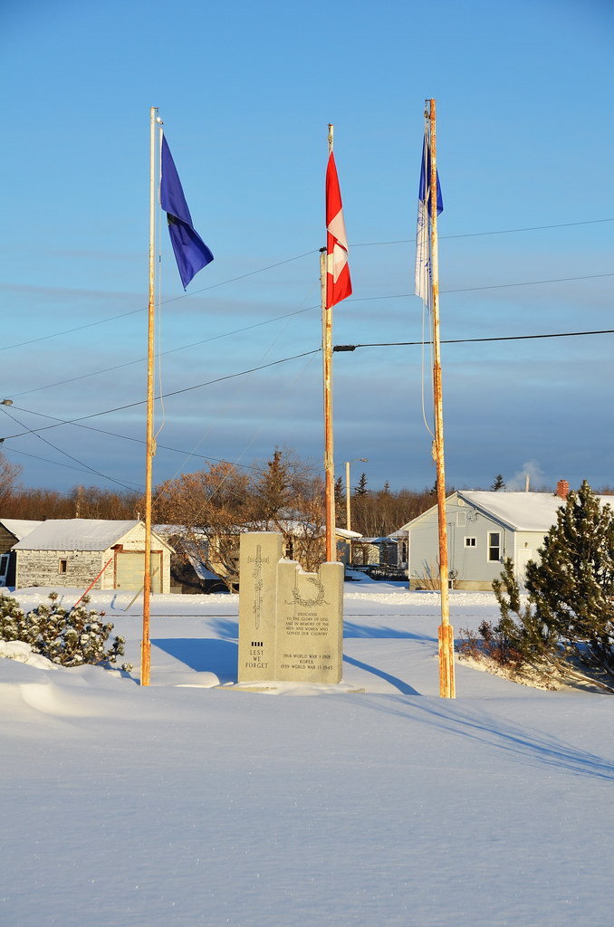
Nanpa War Memorial

Landscape drama 2

Nampa Alberta Grain Elevator

Carnaval St -Isidore

Carnaval St -Isidore

Peace River Area Country Winter Country Road
Topographic Map of Nampa, AB T0H 2R0, Canada
Find elevation by address:

Places near Nampa, AB T0H 2R0, Canada:
Peace River
50 St, Girouxville, AB T0H 1S0, Canada
Girouxville
Sacred Heart Community Health Centre
Mclennan
1 St NE, McLennan, AB T0H 2L0, Canada
Grimshaw
Peace No. 135
Berwyn
Municipal District-peace
Brownvale
AB-, Brownvale, AB T0H 0L0, Canada
Valleyview
Recent Searches:
- Elevation of 3 Nestling Wood Dr, Long Valley, NJ, USA
- Elevation of Ilungu, Tanzania
- Elevation of Yellow Springs Road, Yellow Springs Rd, Chester Springs, PA, USA
- Elevation of Rēzekne Municipality, Latvia
- Elevation of Plikpūrmaļi, Vērēmi Parish, Rēzekne Municipality, LV-, Latvia
- Elevation of 2 Henschke Ct, Caboolture QLD, Australia
- Elevation of Redondo Ave, Long Beach, CA, USA
- Elevation of Sadovaya Ulitsa, 20, Rezh, Sverdlovskaya oblast', Russia
- Elevation of Ulitsa Kalinina, 79, Rezh, Sverdlovskaya oblast', Russia
- Elevation of 72-31 Metropolitan Ave, Middle Village, NY, USA