Elevation of Paynes Farm, Locust Grove, VA, USA

Location: United States > Virginia > Orange County > > Locust Grove >

Longitude: -77.825286

Latitude: 38.3250789

Elevation: 135m / 443feet

Barometric Pressure: 100KPa

Elevation Map:

elevation map of Paynes Farm, Locust Grove, VA, USA

Satellite Map:

Satellite map of Paynes Farm, Locust Grove, VA, USA

Related Photos:

culpepercounty lignum virginia unitedstates tavern maddenstavern antebellum
Madden's Tavern, circa 1840, Lignum, VA - view of western half of living quarters
culpepercounty lignum virginia unitedstates tavern maddenstavern antebellum
Madden's Tavern, circa 1840, Lignum, VA - view of eastern portion of tavern & loft
blue sky clouds landscape virginia day cloudy farm civilwar battlefield 1863 chancellorsville
Virginia Splendor
road autumn red fall ford water yellow rural virginia stream path civilwar battlefield spotsylvania chancellorsville
Across Poplar Ford
hotrod virginia va truck fender locustgrovevirginia locustgrove orangecountyvirginia autoshow goodtimecruisein may 2017
Rear View of a Hot-rod Red Ford Pickup at an Auto Show in Locust Grove VA
civilwar va photostitch ellwood locustgrove
20080517 56 Ellwood Wilderness View Stitch
ford modela virginia va truck locustgrovevirginia locustgrove orangecountyvirginia autoshow goodtimecruisein may 2017
Rear View, Yellow Ford Model A
trees winter white snow virginia spring april easterweekend girlfriendshouse rhoadesville orangecountyva
the bottom of the can
virginia union confederate civilwar csa stonewalljackson robertelee americancivilwar hazelgrove battleofchancellorsville josephhooker chancellorsvillevirginia
Hazel Grove toward Union Lines
virginia union confederate civilwar csa stonewalljackson robertelee americancivilwar hazelgrove battleofchancellorsville josephhooker chancellorsvillevirginia
Hazel Grove toward Lee
virginia union confederate civilwar csa stonewalljackson robertelee americancivilwar battleofchancellorsville josephhooker chancellorsvillevirginia catherinefurnace flankmarch
Catherine Furnace toward Union
virginia union confederate civilwar fairview csa stonewalljackson robertelee americancivilwar battleofchancellorsville josephhooker chancellorsvillevirginia
Fairview toward Lee
virginia civilwar thewilderness battleofthewilderness ellwoodmanor
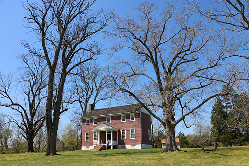
Ellwood Manor
virginia union confederate civilwar fairview csa stonewalljackson robertelee americancivilwar hazelgrove battleofchancellorsville josephhooker chancellorsvillevirginia
Fairview toward Hazel Grove
virginia civilwar thewildernessnb
The Wilderness NB, VA
virginia civilwar thewilderness
The Wilderness NB, VA
snow snowmarch212018 noreaster snowday nature landscape virginialandscape virginia trees woods
winter and spring collide
Culpeper, Virginia
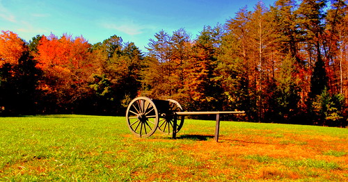
chancellorsville Battlefield
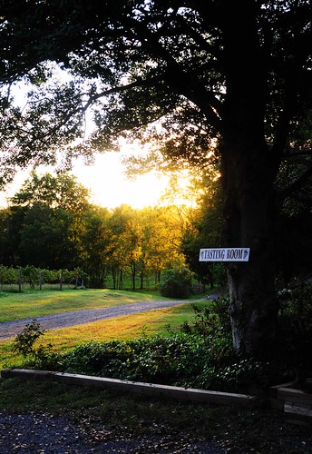
light signs tree landscape virginia rogersford
Tasting Room
chancellorsville Battlefield
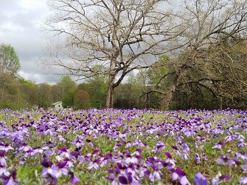
purpleflowers landscape nature virginia
Everything's coming up purple
Friendly Fire
virginia civilwar thewilderness
The Wilderness NB, VA
light landscape virginia rogersford
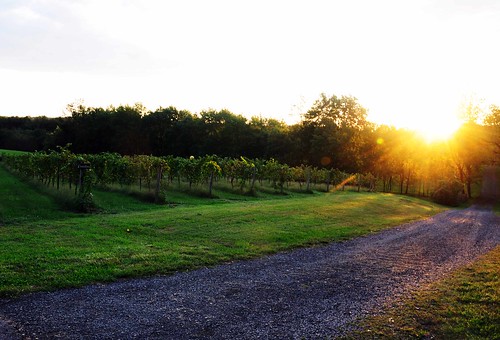
Roger's Ford Drive
light landscape virginia vinyard rogersford
Roger's Ford Vinyard
civilwar va photostitch ellwood locustgrove
20080517 43 Jones Family Cemetery Stitch
orangecounty virginia rapidanriver water river landscape rainyday
Rapidan River
nonprofits southwings transportation virginia aerial environment unitedstates camera:model=canoneos5dmarkiv exif:lens=ef70200mmf28lusm camera:make=canon geocity geostate exif:focallength=70mm exif:aperture=ƒ56 geo:country=unitedstates exif:isospeed=800 exif:model=canoneos5dmarkiv exif:make=canon
Forest in Culpeper County, Va.
Song Sparrow
virginia unitedstates environment geocity geo:country=unitedstates camera:make=canon exif:make=canon geostate exif:lens=ef2470mmf28lusm exif:aperture=ƒ56 exif:isospeed=400 exif:focallength=46mm camera:model=canoneos5dmarkiv exif:model=canoneos5dmarkiv aerial transportation nonprofits southwings
Orange County, Va.
virginia unitedstates environment geocity geo:country=unitedstates camera:make=canon exif:make=canon geostate exif:lens=ef70200mmf28lusm exif:focallength=200mm exif:aperture=ƒ56 exif:isospeed=400 camera:model=canoneos5dmarkiv exif:model=canoneos5dmarkiv aerial transportation nonprofits southwings
Culpeper County, Va.
General Jackson's arm