Elevation of Payner Saw Mill Road, Payner Saw Mill Rd, First, WV, USA
Location: United States > West Virginia > Preston County > First > Masontown >
Longitude: -79.739927
Latitude: 39.5627142
Elevation: 591m / 1939feet
Barometric Pressure: 94KPa
Elevation Map:
Satellite Map:
Related Photos:

Westbrook's 1927 vintage Esso Gas Station - Kingwood WV

Arthurdale Esso Station

Old Iron Bridge

Cooper's Rock State Park

View from the Bridge

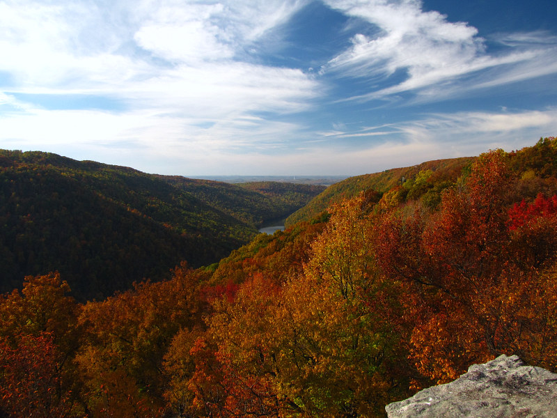
Cooper's Rock State Park

First View of Wonder Falls

Bridge Casualties

Lookin' West

Mont Chateau Road

Cooper's Rock Pond

Cheat River

Cheat River Gorge at Coopers Rock State Forrest

Cheat Lake from Mon-Fayette Expressway

Mt. View

Cooper's Rock State Park

Cheat Lake, WV

Cheat Lake from Mon-Fayette Expressway

Cheat Lake from Mon-Fayette Expressway

Cheat Lake from Mon-Fayette Expressway

Cheat Lake from Mon-Fayette Expressway

Bull Run Bridge, West Virginia [Explore]

Road2 Cooper's Rock

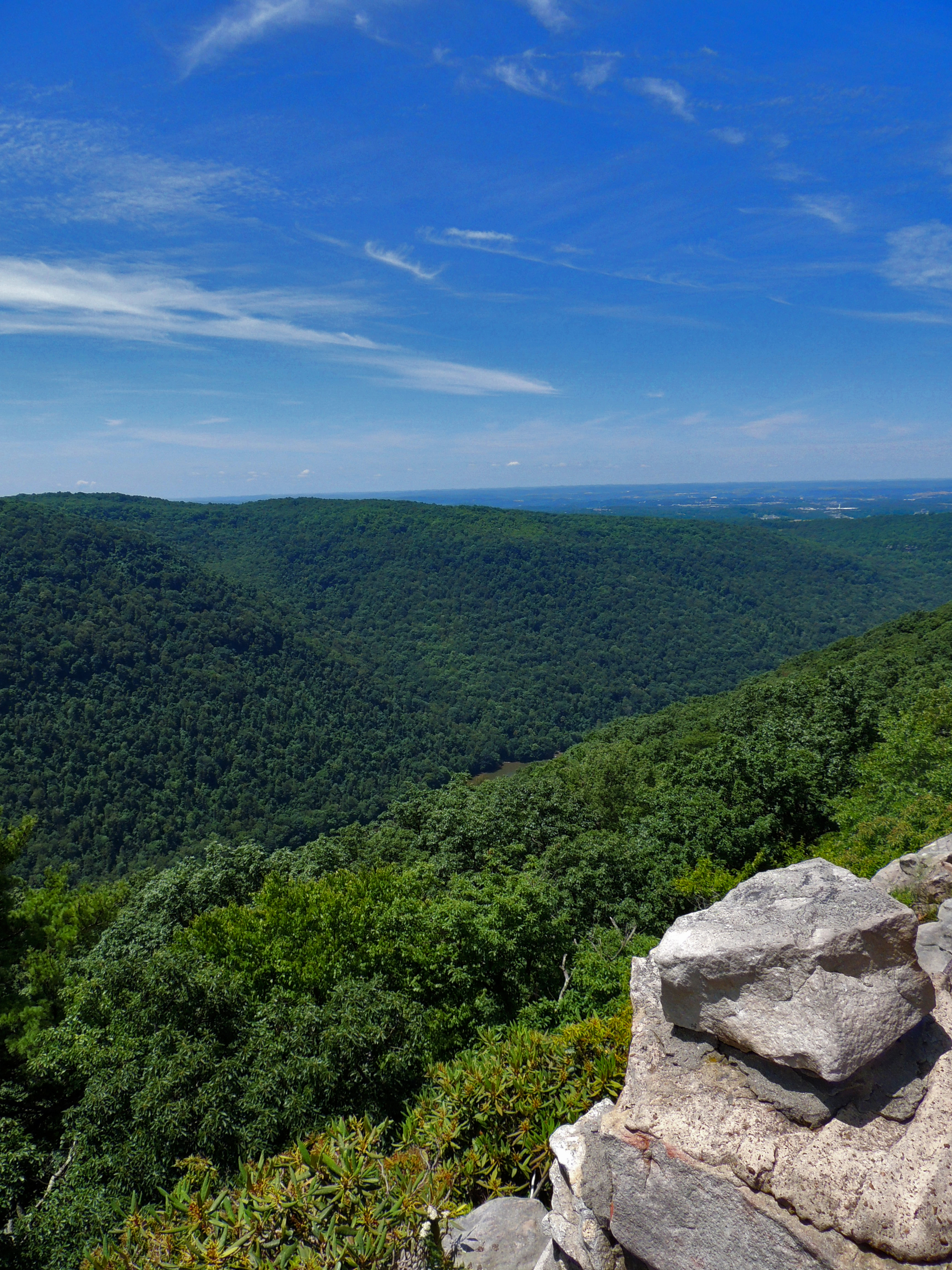
Cooper's Rock State Park

Cheat Lake
Raven Rock
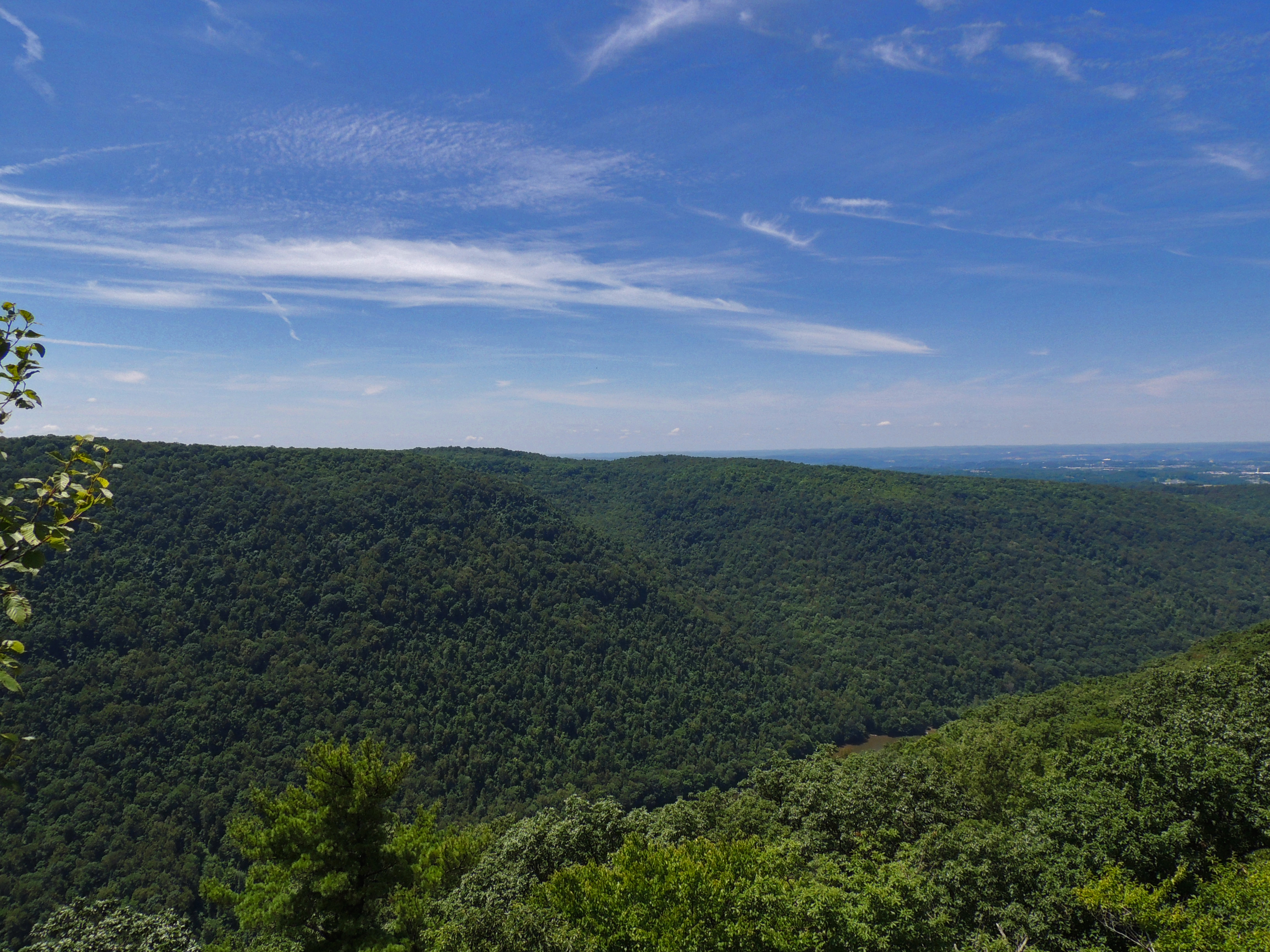
Cooper's Rock State Park

Cheat River at Beaver Hole
Cooper's Rock State Park

Cooper's Rock, WV

Under Rt. 26

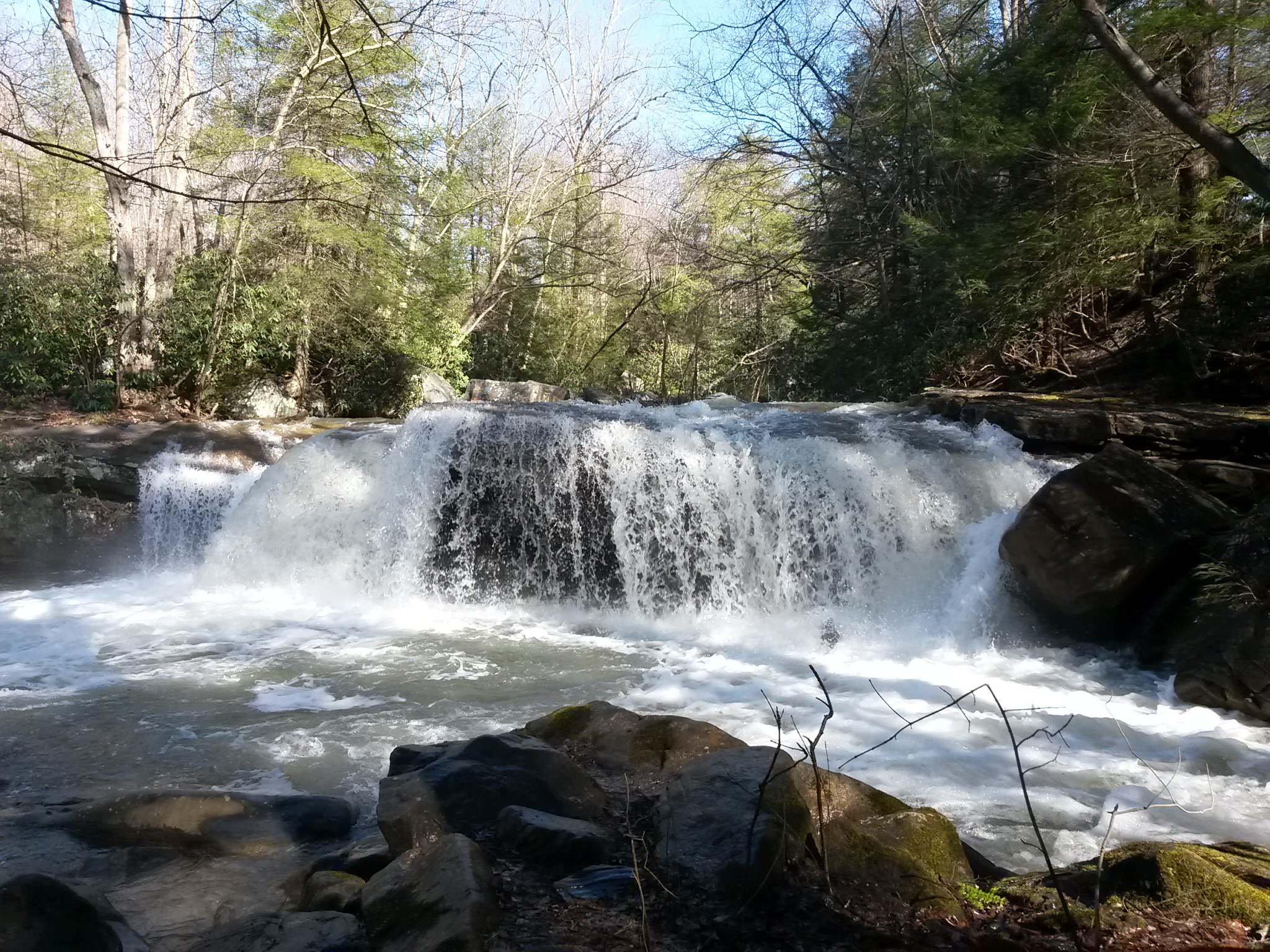
the falls of muddy creek

Down Deckers Creek
Deckers Creek Upper Cascades

Coopers Rock

Hipsta Milkweed

Night Sky at BSA Meeting

Heading Toward Winter

Deckers Creek Waterfall

Coopers Rock located 1300 feet above the Cheat River @ West Virginia.
Topographic Map of Payner Saw Mill Road, Payner Saw Mill Rd, First, WV, USA
Find elevation by address:

Places near Payner Saw Mill Road, Payner Saw Mill Rd, First, WV, USA:
Payner Saw Mill Road
Marvin's Mountaintop
Masontown
Mount Zion Road
2 Coopers Rock Dr
Coopers Rock Road
Coopers Rock State Forest
Coopers Rock State Forest
Valley Point
9 Hileman Rd, Bruceton Mills, WV, USA
Bruceton Mills
Brandonville Pike, Albright, WV, USA
Bruceton Mills, WV, USA
Lenox
Brandonville
9 Main St, Bruceton Mills, WV, USA
740 Ralph Livengood Rd
Second
105 Autumn Ct
Cuzzart
Recent Searches:
- Elevation of Elwyn Dr, Roanoke Rapids, NC, USA
- Elevation of Congressional Dr, Stevensville, MD, USA
- Elevation of Bellview Rd, McLean, VA, USA
- Elevation of Stage Island Rd, Chatham, MA, USA
- Elevation of Shibuya Scramble Crossing, 21 Udagawacho, Shibuya City, Tokyo -, Japan
- Elevation of Jadagoniai, Kaunas District Municipality, Lithuania
- Elevation of Pagonija rock, Kranto 7-oji g. 8"N, Kaunas, Lithuania
- Elevation of Co Rd 87, Jamestown, CO, USA
- Elevation of Tenjo, Cundinamarca, Colombia
- Elevation of Côte-des-Neiges, Montreal, QC H4A 3J6, Canada