Elevation of Mount Zion Road, Mt Zion Rd, First, WV, USA
Location: United States > West Virginia > Preston County > First > Masontown >

Longitude: -79.799207

Latitude: 39.5846921

Elevation: 619m / 2031feet

Barometric Pressure: 94KPa

Elevation Map:

elevation map of Mount Zion Road, Mt Zion Rd, First, WV, USA
Satellite Map:

Satellite map of Mount Zion Road, Mt Zion Rd, First, WV, USA

Related Photos:

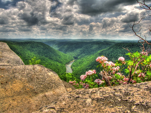
hdr ravenrock coopersrock
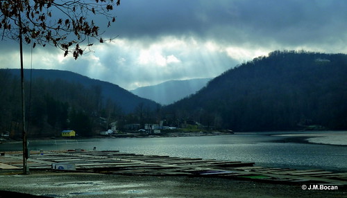
Lookin' West
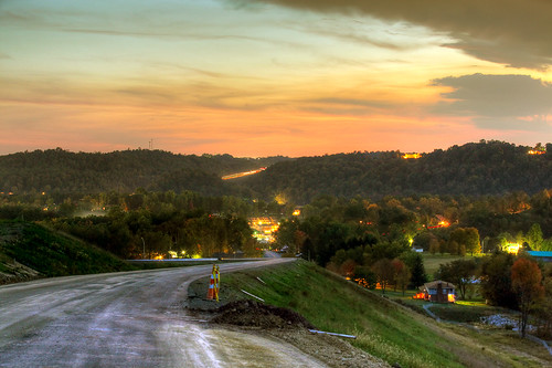
morgantown cheatlake montchateauroad
Mont Chateau Road
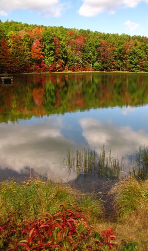
autumn reflection wv westvirginia coopersrock canonpowershotsx10is
Cooper's Rock Pond
westvirginia hdr cheatriver ravenrock the4elements coopersrockstateforest
Cheat River
panorama wv canong1 coopersrockstateforrest cheatrivergorge
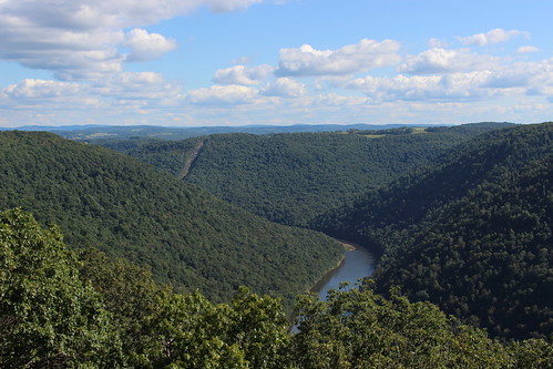
Cheat River Gorge at Coopers Rock State Forrest
kingwood westvirginia unitedstates westbrooks 1927 vintage esso gas station wv wva west virginia us usa america americana historic vinitage museum gasstation petro fuel altstadt old town preston county
Westbrook's 1927 vintage Esso Gas Station - Kingwood WV
sunset fall cheatlake monfayetteexpressway canonef70200mmf28lisiiusm
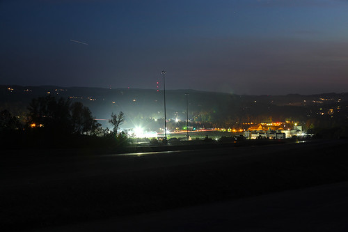
Cheat Lake from Mon-Fayette Expressway
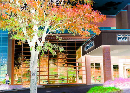
autumn orange reflection fall photoshop mirror colorful digitalart westvirginia computerart mirrored wvu allrightsreserved photoshopart westvirginiauniversity morgantownwv rcvernors copyright2009 rickchildersdigitalmedia wvumedicalcenter eyeinstutute wvueyeinstitute
Eyes Institutionalized
monongalia county morgantown wv west virginia cooper’s rock scenic park state scenery cheat river gorge landscapes georgeneat patriotportraits neatroadtrips rocks trees clouds overlook
Cooper's Rock State Park
morgantown cheatlake morgantownwv cheatlakewv
Cheat Lake, WV
sunset fall cheatlake monfayetteexpressway canonef70200mmf28lisiiusm
Cheat Lake from Mon-Fayette Expressway
construction wv westvirginia morgantown wvu beechviewplace
Beech View Place Construction
esso service gas station arthurdale west virginia new deal coop community reedsville project preston county venture gasoline auto automotive pump office sign depression thegreatdepression kuper kuperimages gtkuper
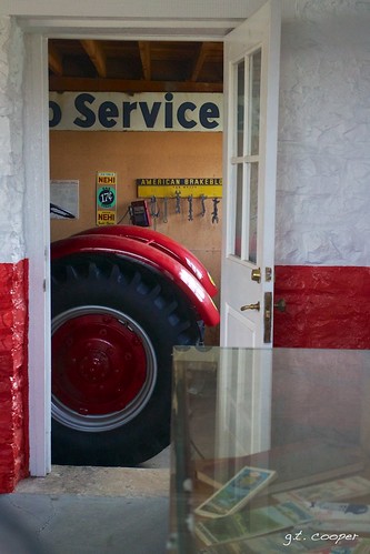
Arthurdale Esso Station
sunset fall cheatlake monfayetteexpressway canonef1635mmf28liiusm
Cheat Lake from Mon-Fayette Expressway
winter snow wv cheatlake morgantownwv supermulticoatedtakumarzoom14585210mm
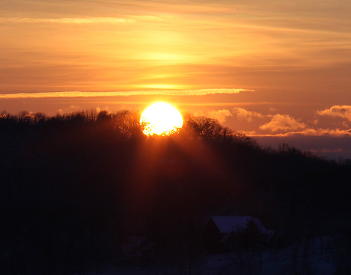
Sunset over Greystone-on-the-Cheat
sunset fall cheatlake monfayetteexpressway canonef70200mmf28lisiiusm
Cheat Lake from Mon-Fayette Expressway
winter snow wv cheatlake morgantownwv supermulticoatedtakumarzoom14585210mm
Sunset over Greystone-on-the-Cheat
sunset fall cheatlake monfayetteexpressway canonef70200mmf28lisiiusm
Cheat Lake from Mon-Fayette Expressway
street house cars buildings landscape parkinglot apartments view barrels parking july sidewalk powerlines westvirginia arrows balconies storefronts siding 2008 utilitypole kerb curb telephonepole universityavenue morgantown parkedcars paved wheelchairramp route19 doubleyellowline us19 bluedoors monongaliacounty morgantownwestvirginia whitesiding trafficbarrels july2008 handicappedramp img4546 usroute19 whitearrows orangeandwhitebarrels westvirginialandscape turnlanes 20080714 monongaliacountywestvirginia beechurstavenue mountaineercourt
Morgantown streetview.
insects beetles coleoptera photinus
Gettin' close and personal with a lightning bug
westvirginia westvirginiauniversity wvu morgantown geotagged geolat39635910 geolon79956350
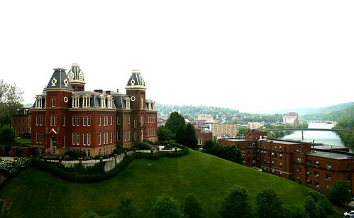
west virginia university
2020 copyright©2020 architecture bridge historic landmark landscape lightroom road rural structure ©stevewest masontown westvirginia unitedstates covid exploration remote kswestphoto roadtrip wandering mtnebo explore flickr
Bull Run Bridge, West Virginia [Explore]
Cooper's Rock, WV
the falls of muddy creek
winter nature waterfall wv hdr photomatix hdrextremes deckerscreek pentaxk52s
Down Deckers Creek
creek upper cas deckers
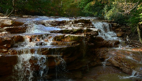
Deckers Creek Upper Cascades
coopersrock coopersrockstateforest overlook cheatriver cheatrivergorge civilianconservationcorps newdeal morgantown westvirginia
Coopers Rock
hipstamatic rockbw11film sergiolens
Hipsta Milkweed
nightsky cheatlake htcevo4g
Night Sky at BSA Meeting
hipstamatic rockbw11film sergiolens
Heading Toward Winter
waterfall westvirginia prestoncounty deckerscreek
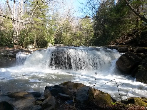
Deckers Creek Waterfall
Coopers Rock located 1300 feet above the Cheat River @ West Virginia.
canoneos5dmarkii canonef70200mmf28lisiiusm marumidhgsupercircularpolarizer77mm optekacfm300carbonfibermonopodwithbenrob1ballhead matchedlenshood
Foggy Morning
statepark road trees sun nature sunshine forest outdoors woods wv westvirginia coopersrock
Road2 Cooper's Rock
winter nature waterfall wv hdr photomatix hdrextremes deckerscreek pentaxk52s
Forever Flowing
wood autumn lake reflection fall nature water leaves forest leaf wv westvirginia morgantown cheatlake
Reflections of Autumn
canoneos5dmarkii optekacfm300carbonfibermonopodwithbenrob1ballhead bw58mmcircularpolarizermrc matchedlenshood supertakumar11985mm
Early Fall...
fall foliage wv coopersrock stateforest
Coopers Rock fall foliage
usa canoneos5dmarkii fdreviewl36 asahipentaxmacrorail at214induroalloy8matseriestripod canonmacrolensfd100mm14sc pixcofdeosadapternoglassmacroonly canonfd100mmf4scmacro
Apple Mint
coopersrockstatepark wv tree landscape
Cooper's Rock State Park