Elevation of Paxton Valley Rd, Monte Lake, BC V0E 2N0, Canada
Location: Canada > British Columbia > Thompson-nicola > Thompson-nicola L > Monte Lake >
Longitude: -119.81113
Latitude: 50.5336261
Elevation: 866m / 2841feet
Barometric Pressure: 91KPa
Elevation Map:
Satellite Map:
Related Photos:
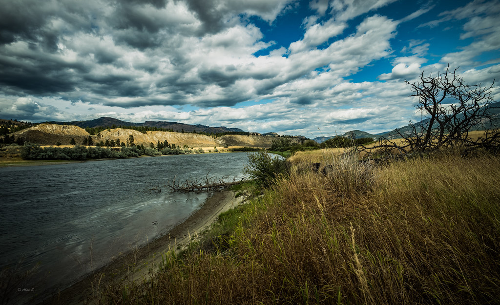
Thompson river, Pritchard, BC, Canada

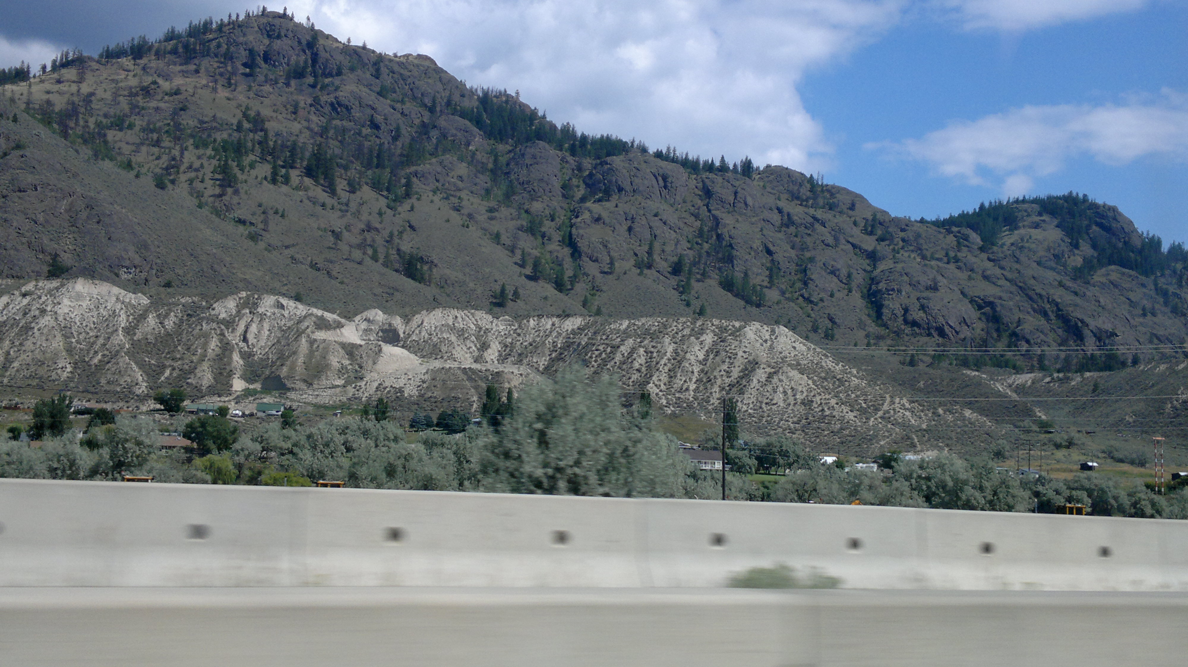
Monte Lake

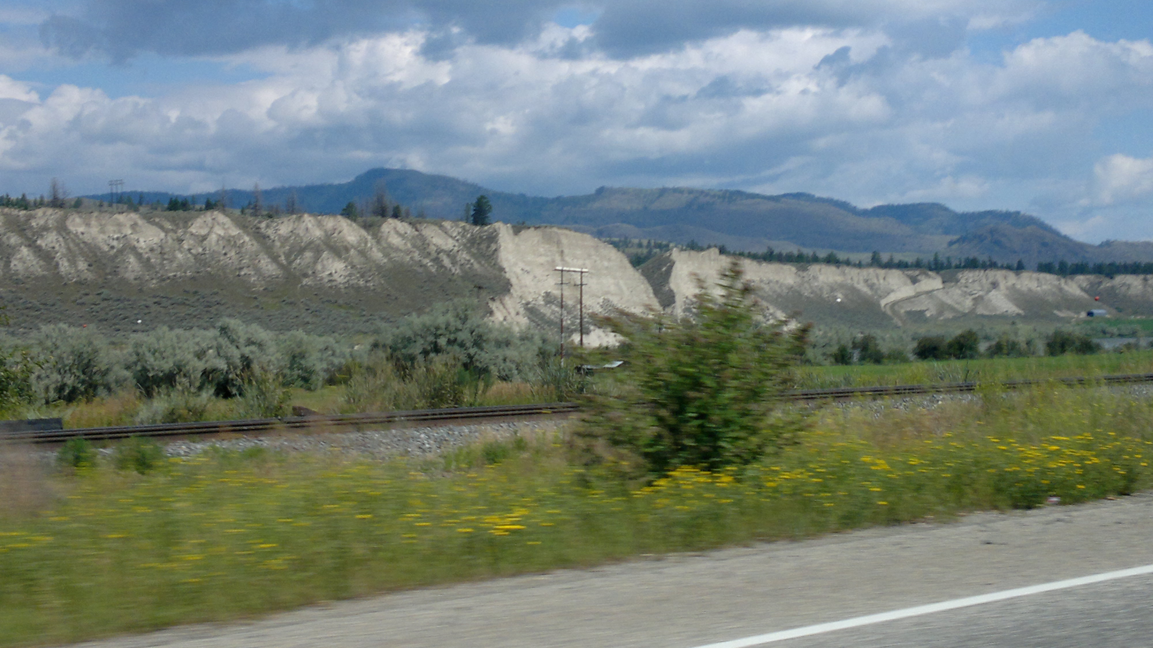
South Thompson River, Pritchard

Monte Lake

Abandoned Farmstead

Through the Clouds

Dark Day

Pinantan BC

Mount Revelstoke

Mount Revelstoke
2012-07-28-7439

2012-07-28-7451

2012-07-28-7447

2012-07-28-7439

2012-07-28-7445

2012-07-28-7451

P1010516 (2)
2012-07-28-7447

2012-07-28-7446

2012-07-28-7445
Topographic Map of Paxton Valley Rd, Monte Lake, BC V0E 2N0, Canada
Find elevation by address:

Places near Paxton Valley Rd, Monte Lake, BC V0E 2N0, Canada:
Monte Lake
Thompson-nicola L
Westwold
Falkland
5488 Lynes Rd
5880 Campbell Creek Rd
Central Okanagan G
1150 Simms Rd
V1s 0a3
Douglas Lake
Goose Lake
Jackpine Lake
Central Okanagan
Pennask Summit
Crystal Mountain Ski Resort
Rose Valley Road
Le Jeune, Lac
Lac Le Jeune
West Kelowna Road
1579 Blackwood Dr
Recent Searches:
- Elevation of Groblershoop, South Africa
- Elevation of Power Generation Enterprises | Industrial Diesel Generators, Oak Ave, Canyon Country, CA, USA
- Elevation of Chesaw Rd, Oroville, WA, USA
- Elevation of N, Mt Pleasant, UT, USA
- Elevation of 6 Rue Jules Ferry, Beausoleil, France
- Elevation of Sattva Horizon, 4JC6+G9P, Vinayak Nagar, Kattigenahalli, Bengaluru, Karnataka, India
- Elevation of Great Brook Sports, Gold Star Hwy, Groton, CT, USA
- Elevation of 10 Mountain Laurels Dr, Nashua, NH, USA
- Elevation of 16 Gilboa Ln, Nashua, NH, USA
- Elevation of Laurel Rd, Townsend, TN, USA