Elevation of Pawnee Rd, Harrellsville, NC, USA
Location: United States > North Carolina > Hertford County > Harrellsville > Harrellsville >
Longitude: -76.738977
Latitude: 36.3213329
Elevation: 12m / 39feet
Barometric Pressure: 101KPa
Elevation Map:
Satellite Map:
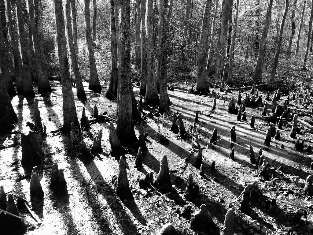
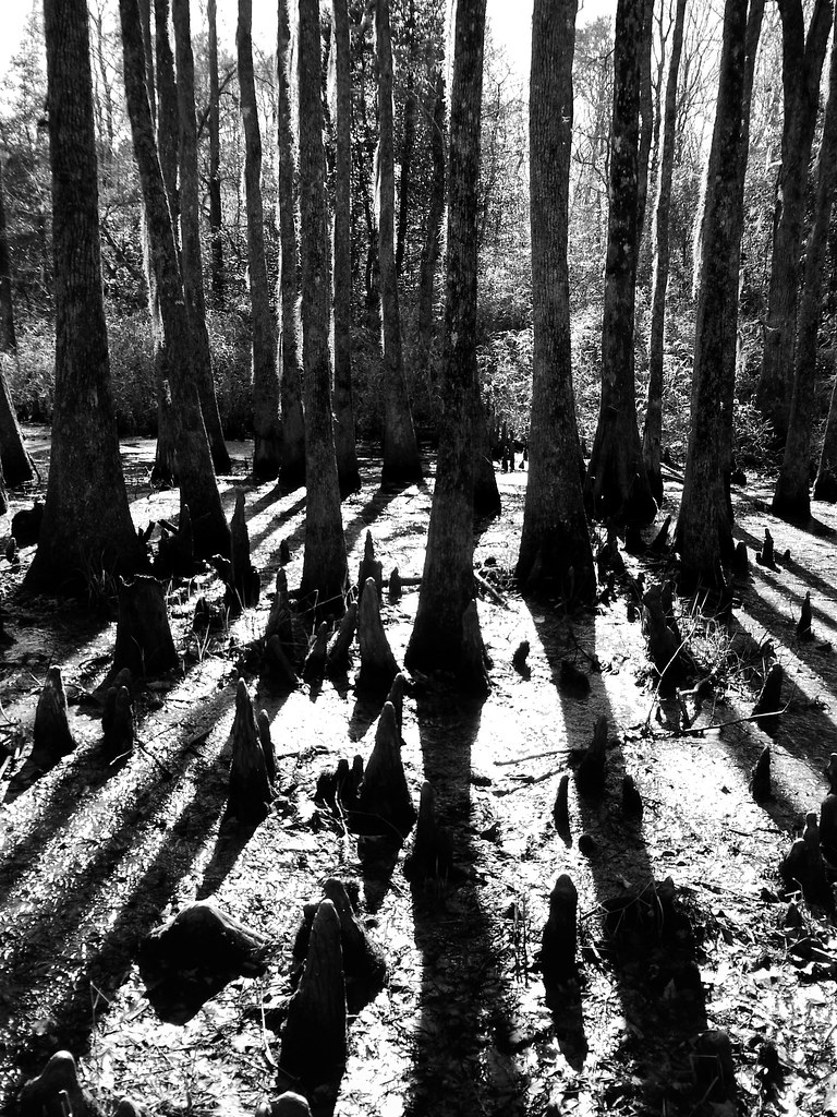
Related Photos:

Paddling out

Waking up and getting up has never been easy
04-03-13 301
04-03-13 302

Friday campsite

06-05-13 331

06-05-13 332

Wildflowers after burn

almost perfect

Sky and Earth
Topographic Map of Pawnee Rd, Harrellsville, NC, USA
Find elevation by address:

Places near Pawnee Rd, Harrellsville, NC, USA:
Harrellsville
204b Joyner Rd
Harrellsville
Cannons Ferry Rd, Tyner, NC, USA
243 Wiccacon Rd
Mintonsville
1811 Arapahoe Trail
1612 Arapahoe Trail
1101 Arrowhead Trail
903 Arrowhead Trail
Cofield, NC, USA
102 Shoshone Trail
217 Ottawa Trail
98 Bandon Rd, Edenton, NC, USA
Winnebago Trail
123 Wingfield Rd
218 Powhatan Trail
211 Okisco Trail
405 Chowan Trail
328 Roanoke Trail
Recent Searches:
- Elevation of Lampiasi St, Sarasota, FL, USA
- Elevation of Elwyn Dr, Roanoke Rapids, NC, USA
- Elevation of Congressional Dr, Stevensville, MD, USA
- Elevation of Bellview Rd, McLean, VA, USA
- Elevation of Stage Island Rd, Chatham, MA, USA
- Elevation of Shibuya Scramble Crossing, 21 Udagawacho, Shibuya City, Tokyo -, Japan
- Elevation of Jadagoniai, Kaunas District Municipality, Lithuania
- Elevation of Pagonija rock, Kranto 7-oji g. 8"N, Kaunas, Lithuania
- Elevation of Co Rd 87, Jamestown, CO, USA
- Elevation of Tenjo, Cundinamarca, Colombia