Elevation of Cannons Ferry Rd, Tyner, NC, USA
Location: United States > North Carolina > Chowan County > 3, Upper > Tyner >
Longitude: -76.673021
Latitude: 36.269501
Elevation: 2m / 7feet
Barometric Pressure: 101KPa
Elevation Map:
Satellite Map:
Related Photos:

view from Barren Ridge Winery

Sky and Earth

126/365/2013 Stalagmite

Was right good....All of it.

8/29/15 Saturday night
Dinunzio house before

Dinunzio house before

Red Barn Two

Twin Sisters
Red Barn One

Red Barn Three

Old House One
Old House Two

Threatening Sky

Dog Tired
No Swimming Today

The Buck(shot) Stops Here

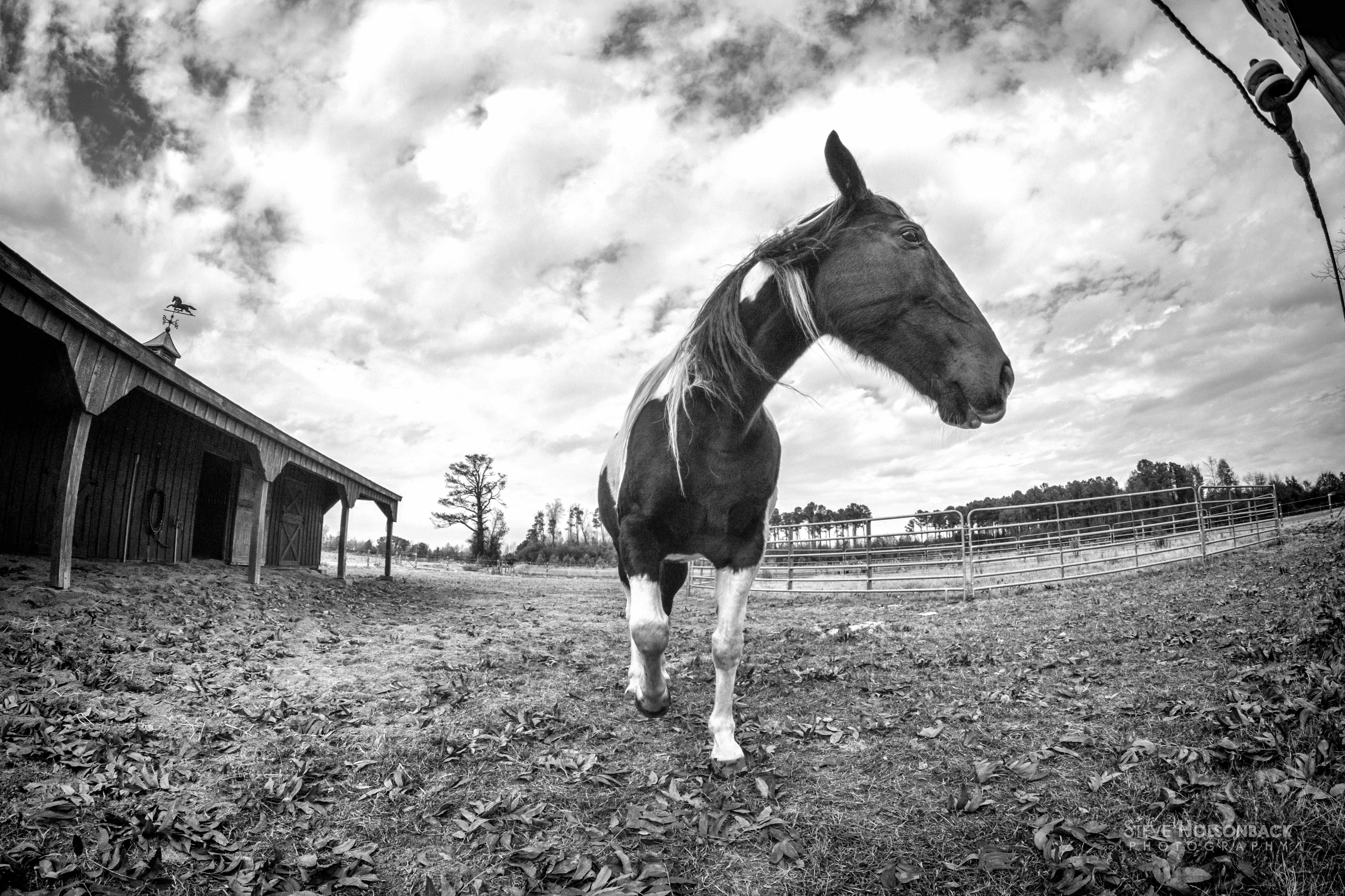
Rebel, The Horse, Fisheyed One
Rebel, The Horse, Fisheyed Two

Mama with her baby

Horses in Stable
Topographic Map of Cannons Ferry Rd, Tyner, NC, USA
Find elevation by address:

Places near Cannons Ferry Rd, Tyner, NC, USA:
123 Wingfield Rd
2845 Virginia Rd
1811 Arapahoe Trail
1612 Arapahoe Trail
2800 Virginia Rd
102 Shoshone Trail
217 Ottawa Trail
1101 Arrowhead Trail
903 Arrowhead Trail
204b Joyner Rd
98 Bandon Rd, Edenton, NC, USA
Winnebago Trail
218 Powhatan Trail
211 Okisco Trail
405 Chowan Trail
328 Roanoke Trail
Mintonsville
319 Pawnee Rd
2606b Nc-45
Harrellsville
Recent Searches:
- Elevation of Lampiasi St, Sarasota, FL, USA
- Elevation of Elwyn Dr, Roanoke Rapids, NC, USA
- Elevation of Congressional Dr, Stevensville, MD, USA
- Elevation of Bellview Rd, McLean, VA, USA
- Elevation of Stage Island Rd, Chatham, MA, USA
- Elevation of Shibuya Scramble Crossing, 21 Udagawacho, Shibuya City, Tokyo -, Japan
- Elevation of Jadagoniai, Kaunas District Municipality, Lithuania
- Elevation of Pagonija rock, Kranto 7-oji g. 8"N, Kaunas, Lithuania
- Elevation of Co Rd 87, Jamestown, CO, USA
- Elevation of Tenjo, Cundinamarca, Colombia