Elevation of Pathisain, Uttarakhand, India
Location: India > Uttarakhand > Pauri Garhwal >
Longitude: 78.7798513
Latitude: 29.9797198
Elevation: 732m / 2402feet
Barometric Pressure: 93KPa
Elevation Map:
Satellite Map:
Related Photos:
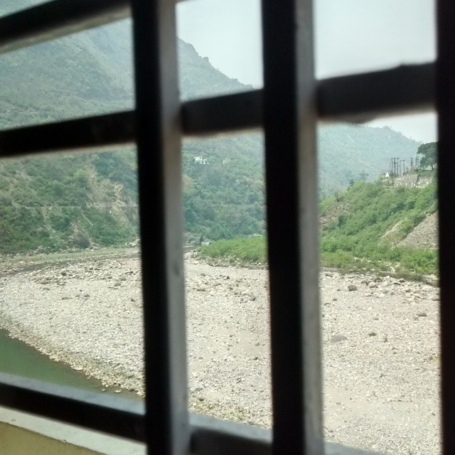
View from Chauhan Restaurant #travelpics #uttarakhand #satpuli
Pauri ,Uttarakhand

Pauri ,Uttarakhand

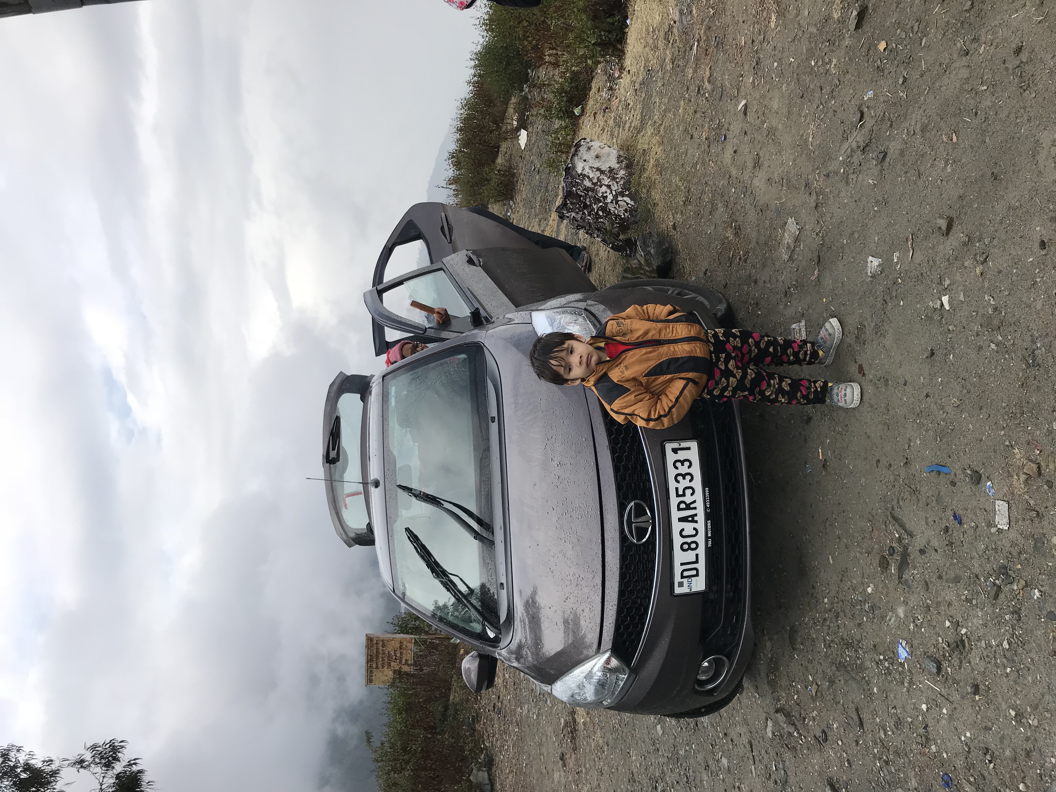
Doing what we do best together #fourbyfour #travelbug #banyanbytheganges

Tarkeshwar Mahadev Temple

A Bell -Tarkeshwar temple
Topographic Map of Pathisain, Uttarakhand, India
Find elevation by address:

Places near Pathisain, Uttarakhand, India:
Ekeshwar Mahadev Temple
Ekeshwar
Maa Chandrabadni Temple
Pauri Garhwal
Pauri
Bhanswara
Dhabkhal
Dabri Walli
Khirsu
Rikhnikhal
Kandakhal
Anthrag Dang
Ctc Ssb
Ssb
Primary School, Takolikhal
Takolikhal
Srinagar
Sulumori
Vedikhal
Devalgarh Road
Recent Searches:
- Elevation of 72-31 Metropolitan Ave, Middle Village, NY, USA
- Elevation of 76 Metropolitan Ave, Brooklyn, NY, USA
- Elevation of Alisal Rd, Solvang, CA, USA
- Elevation of Vista Blvd, Sparks, NV, USA
- Elevation of 15th Ave SE, St. Petersburg, FL, USA
- Elevation of Beall Road, Beall Rd, Florida, USA
- Elevation of Leguwa, Nepal
- Elevation of County Rd, Enterprise, AL, USA
- Elevation of Kolchuginsky District, Vladimir Oblast, Russia
- Elevation of Shustino, Vladimir Oblast, Russia