Elevation of Parry Ave, Rhame, ND, USA
Location: United States > North Dakota >
Longitude: -103.64867
Latitude: 46.2329153
Elevation: 981m / 3218feet
Barometric Pressure: 90KPa
Elevation Map:
Satellite Map:
Related Photos:

South View
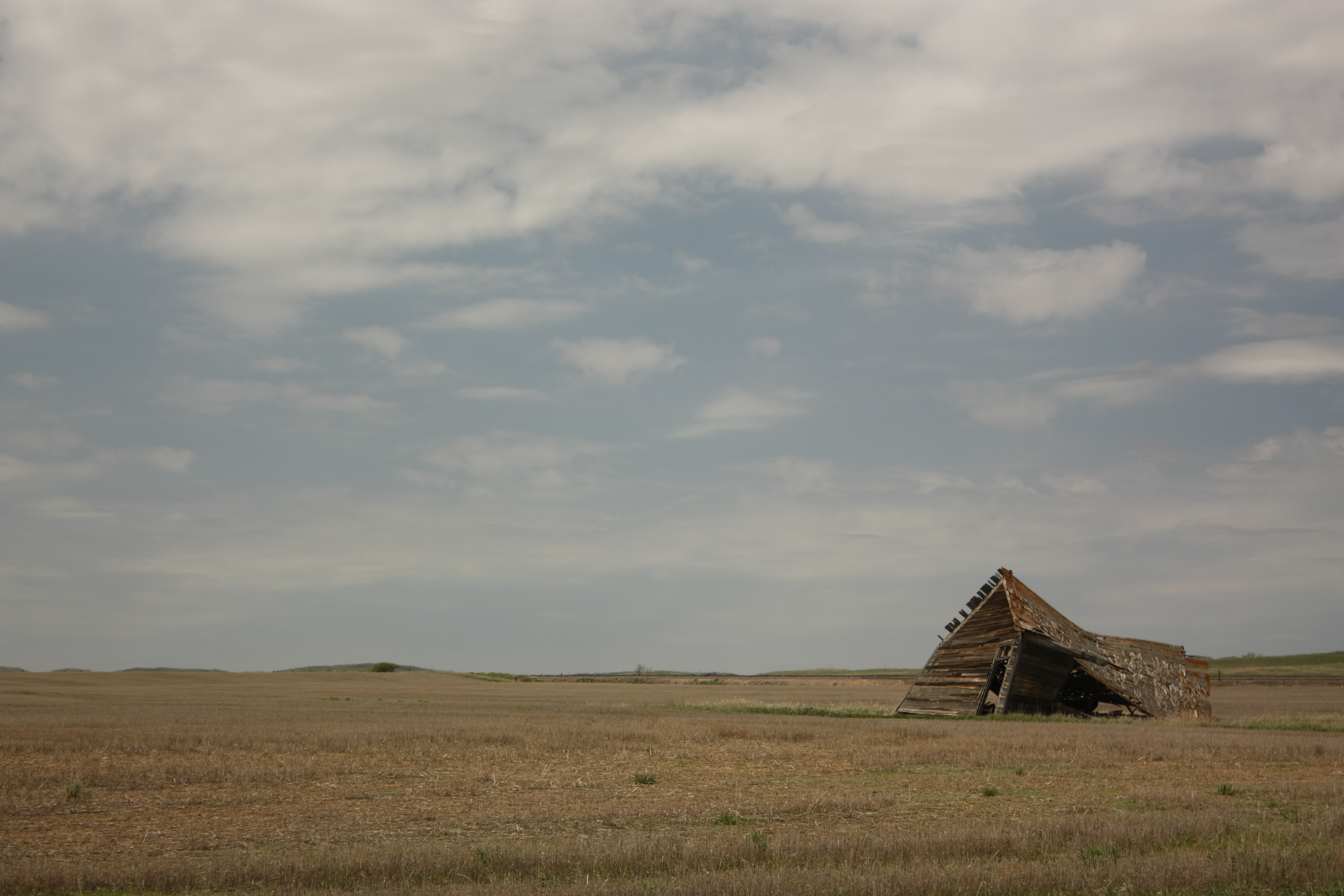
A real fixer upper

Old Fashioned Road Sign?
IMG_20150418_094737421_HDR[1]

IMG_20150418_095149523[1]
IMG_20150421_161644540[1]
IMG_20150421_161626205[1]
IMG_20150421_161708970[1]
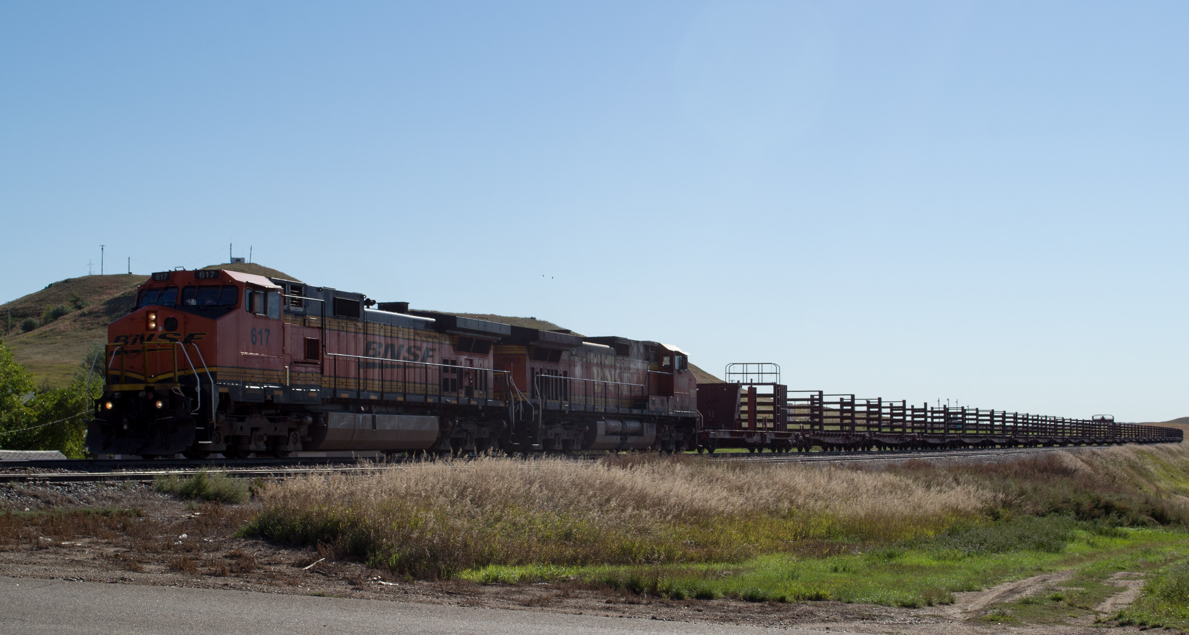
Rhame, ND railroad (0417)

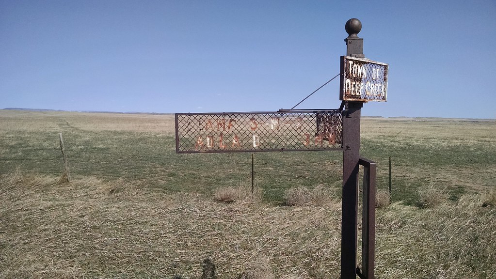
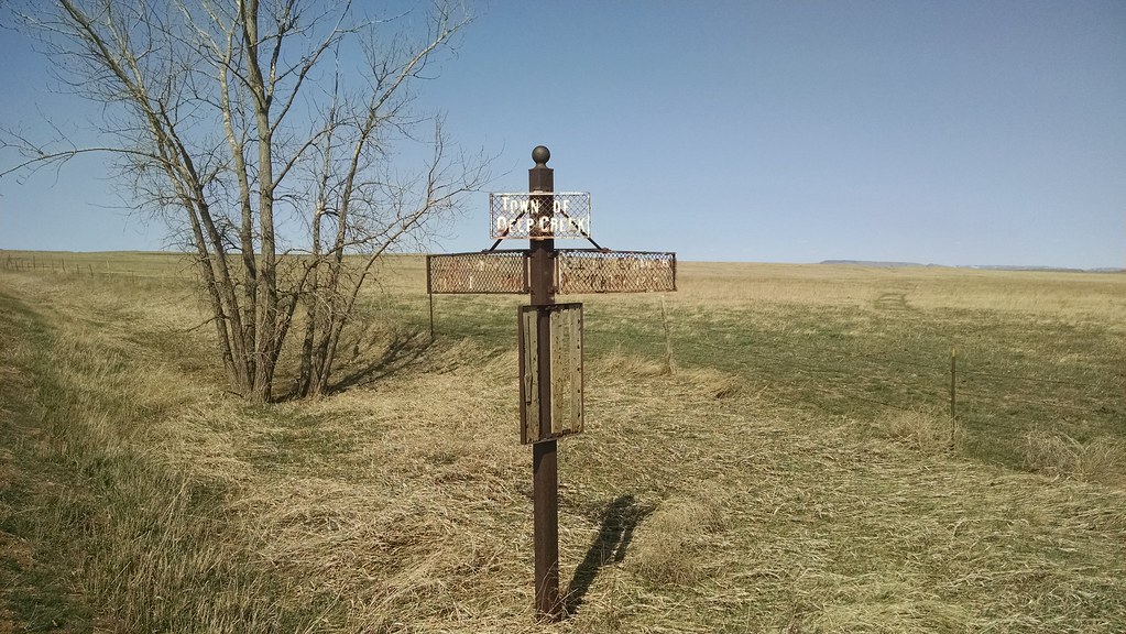
Rhame Sign

Rhame Museum
End of day one...

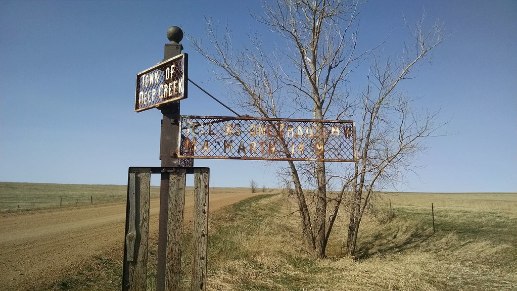
Deep Creek 2

Cash School

Deep Creek 2 Mantiuk

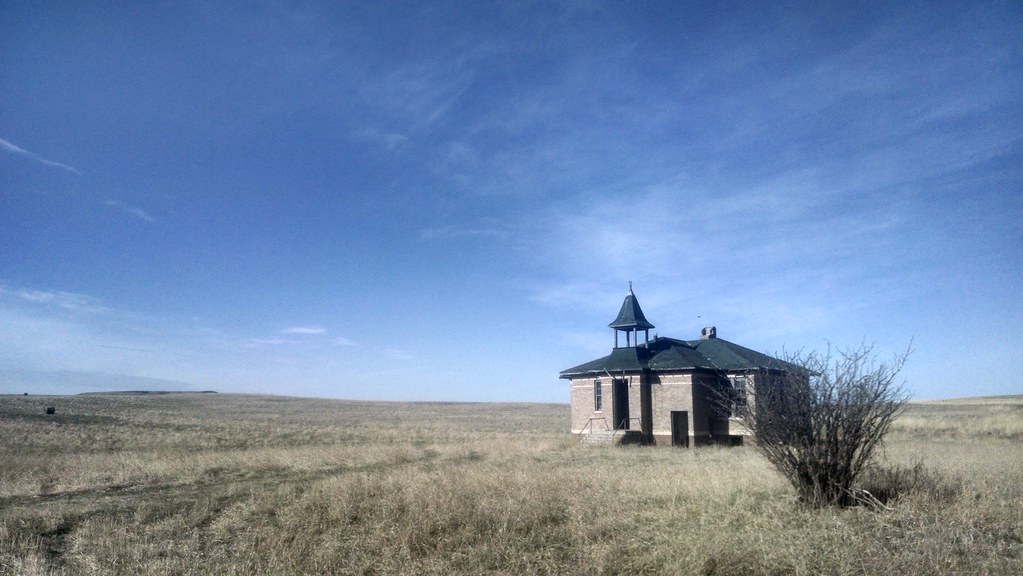
Second Deep Creek School

Cabin Along Deep Creeek

Deep Creek School (HDR)

Deep Creek School (orig)

A Cautionary Tale

St. Mel's of Rhame
Topographic Map of Parry Ave, Rhame, ND, USA
Find elevation by address:

Places near Parry Ave, Rhame, ND, USA:
Bowman County
12 N Main St, Bowman, ND, USA
Bowman
Mineral Springs
Main St, Reeder, ND, USA
Scranton
135th Avenue Southwest
Goldfield
1501 15th St Nw
West Adams
Recent Searches:
- Elevation of Corso Fratelli Cairoli, 35, Macerata MC, Italy
- Elevation of Tallevast Rd, Sarasota, FL, USA
- Elevation of 4th St E, Sonoma, CA, USA
- Elevation of Black Hollow Rd, Pennsdale, PA, USA
- Elevation of Oakland Ave, Williamsport, PA, USA
- Elevation of Pedrógão Grande, Portugal
- Elevation of Klee Dr, Martinsburg, WV, USA
- Elevation of Via Roma, Pieranica CR, Italy
- Elevation of Tavkvetili Mountain, Georgia
- Elevation of Hartfords Bluff Cir, Mt Pleasant, SC, USA