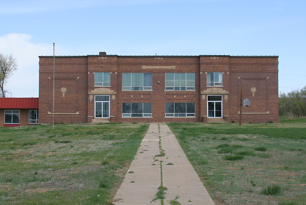
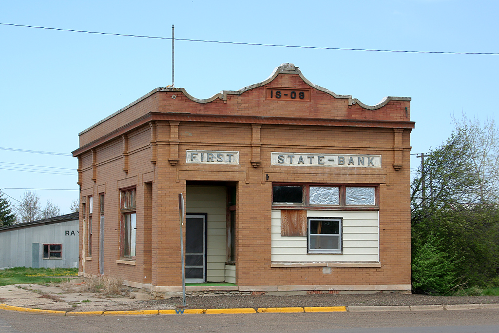
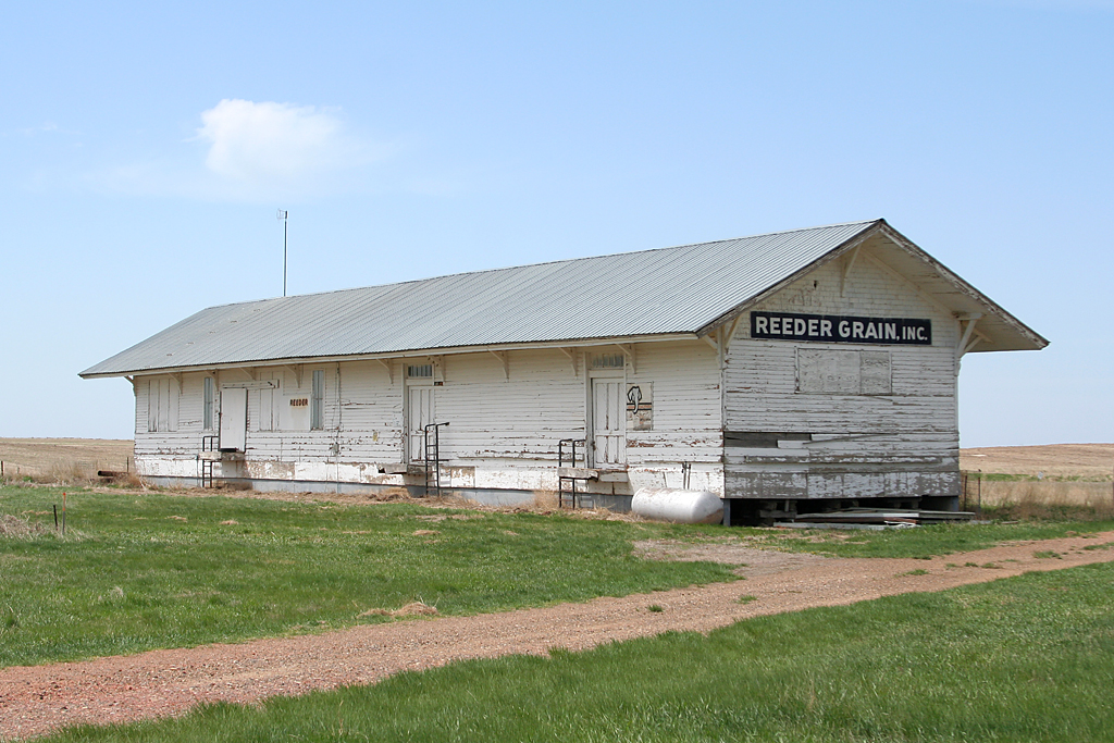
Elevation of Main St, Reeder, ND, USA
Location: United States > North Dakota > Bowman County > Scranton >
Longitude: -103.14372
Latitude: 46.150714
Elevation: 854m / 2802feet
Barometric Pressure: 91KPa
Elevation Map:
Satellite Map:
Related Photos:
day2-35

ScrantonND 1996-10-08 1620MDT
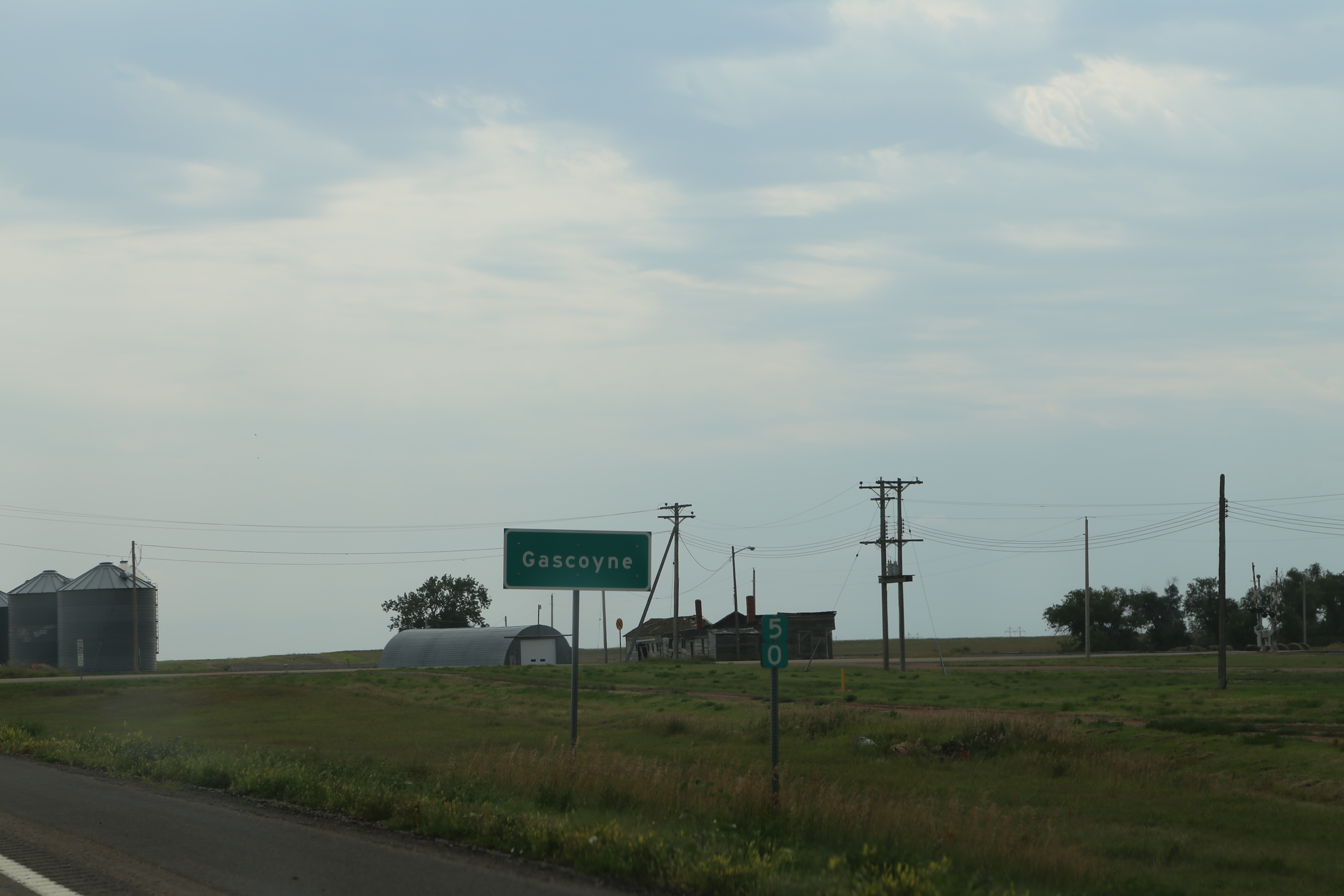
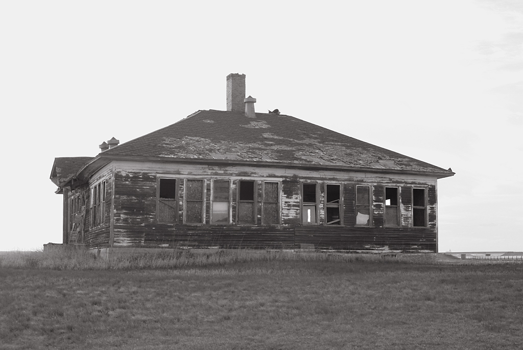
Gascoyne North Dakota, Bowman County ND
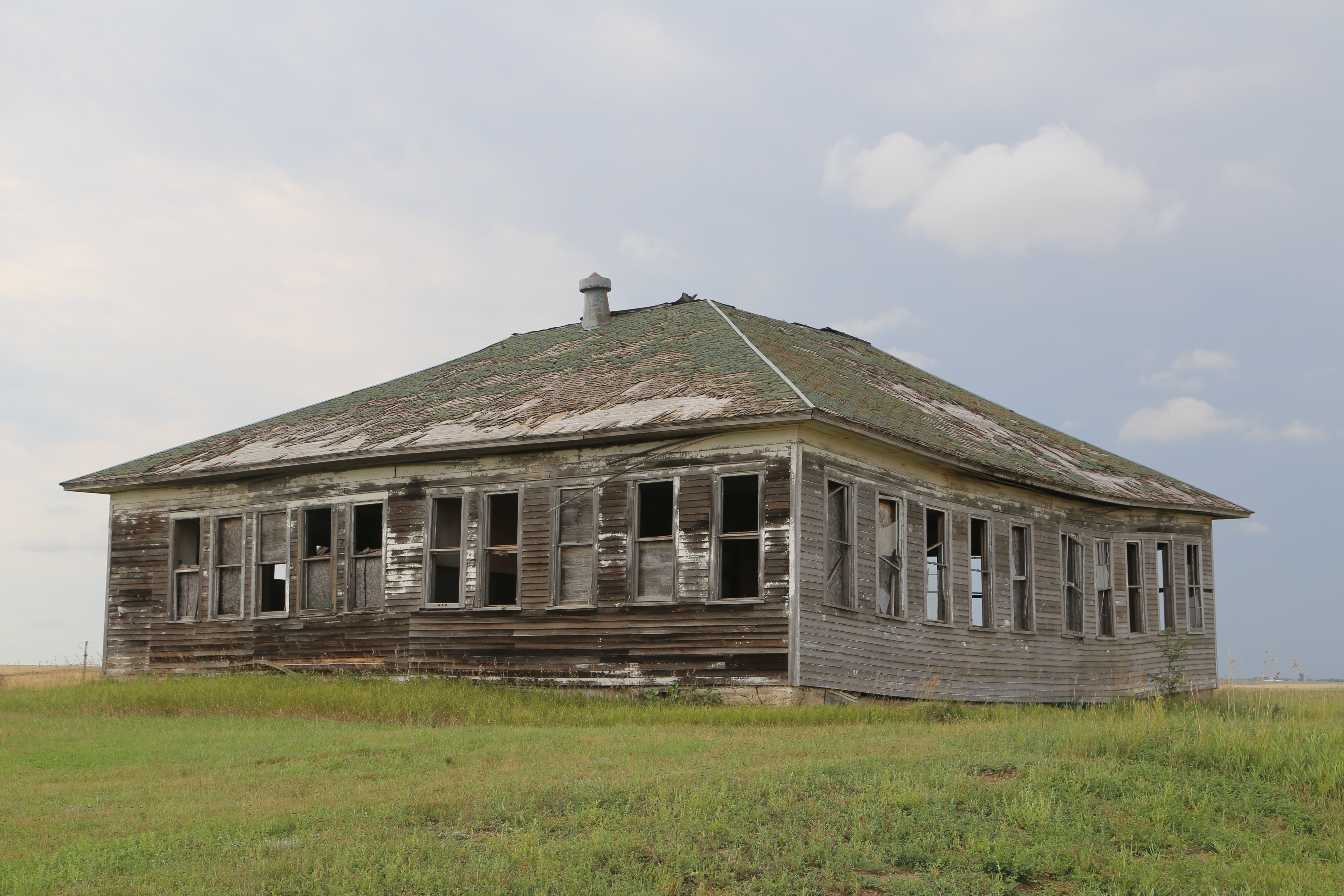
Gascoyne North Dakota, Bowman County ND
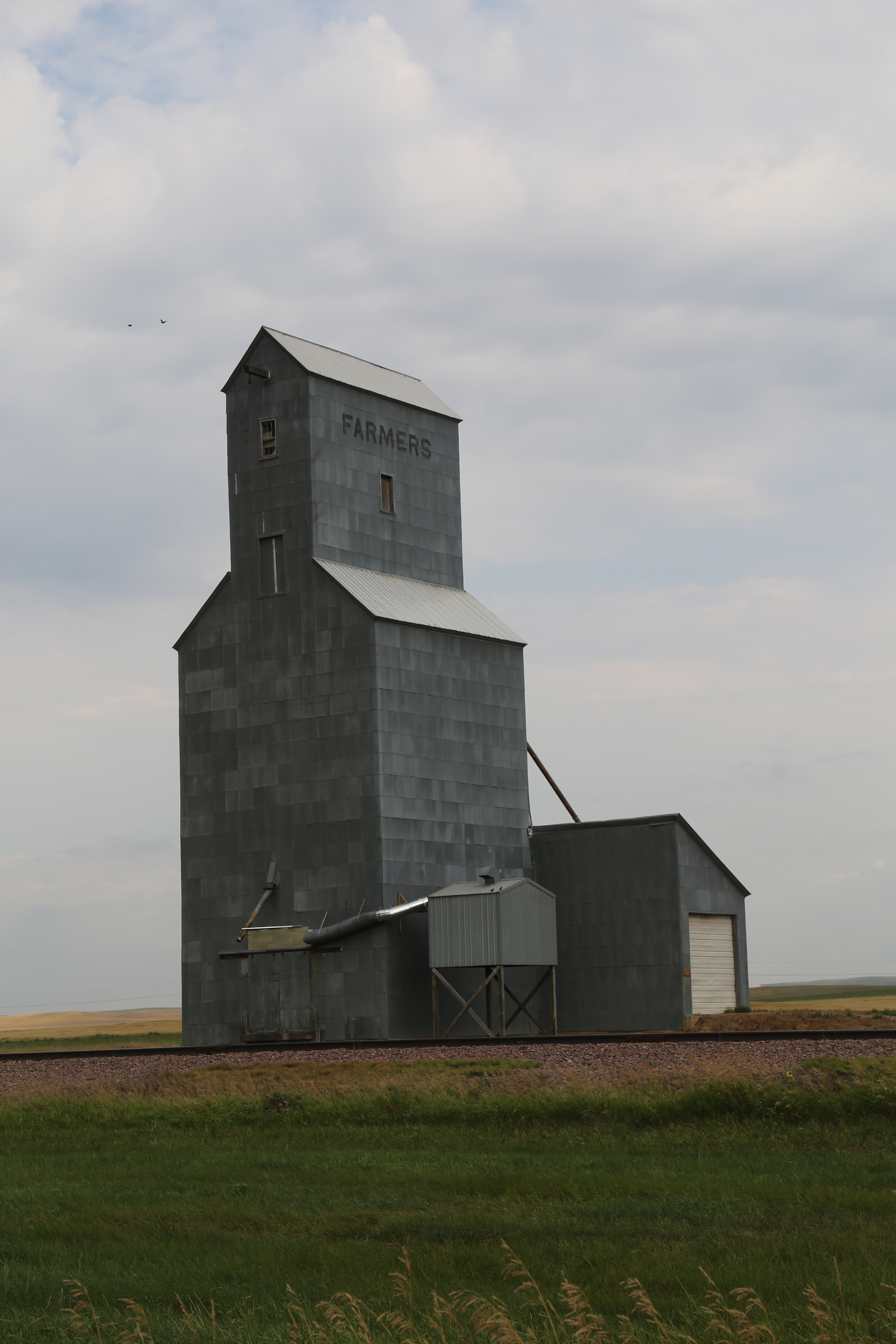
Gascoyne North Dakota, Grain Elevator, Bowman County ND

Keystone Pipeline

Keystone Pipeline

Keystone Pipeline
day3-16
day3-14
day3-15

North Dakota, Bowman County- Gascoyne (109)
Topographic Map of Main St, Reeder, ND, USA
Find elevation by address:

Places near Main St, Reeder, ND, USA:
Scranton
135th Avenue Southwest
Goldfield
Mineral Springs
1501 15th St Nw
West Adams
Bowman
12 N Main St, Bowman, ND, USA
Bowman County
Parry Ave, Rhame, ND, USA
Recent Searches:
- Elevation of Woodland Oak Pl, Thousand Oaks, CA, USA
- Elevation of Brownsdale Rd, Renfrew, PA, USA
- Elevation of Corcoran Ln, Suffolk, VA, USA
- Elevation of Mamala II, Sariaya, Quezon, Philippines
- Elevation of Sarangdanda, Nepal
- Elevation of 7 Waterfall Way, Tomball, TX, USA
- Elevation of SW 57th Ave, Portland, OR, USA
- Elevation of Crocker Dr, Vacaville, CA, USA
- Elevation of Pu Ngaol Community Meeting Hall, HWHM+3X7, Krong Saen Monourom, Cambodia
- Elevation of Royal Ontario Museum, Queens Park, Toronto, ON M5S 2C6, Canada