Elevation of Parks Place Rd, Sardis, MS, USA
Location: United States > Mississippi > Panola County > Sardis >
Longitude: -90.057491
Latitude: 34.436757
Elevation: 109m / 358feet
Barometric Pressure: 100KPa
Elevation Map:
Satellite Map:
Related Photos:

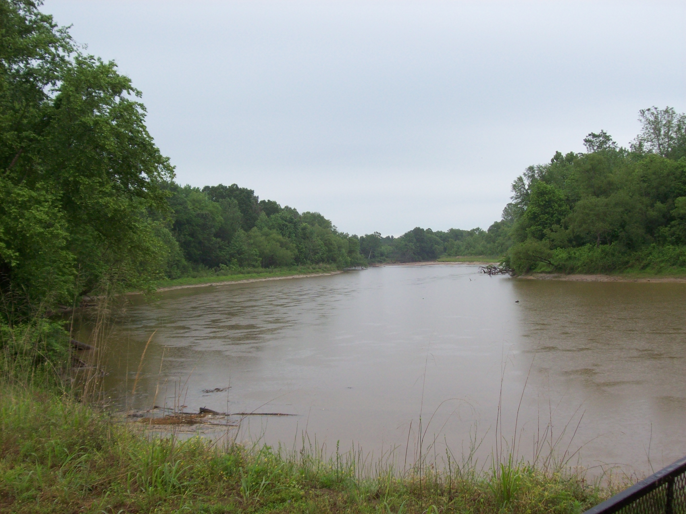
A September Morning in Tate County

Tate County Sunrise
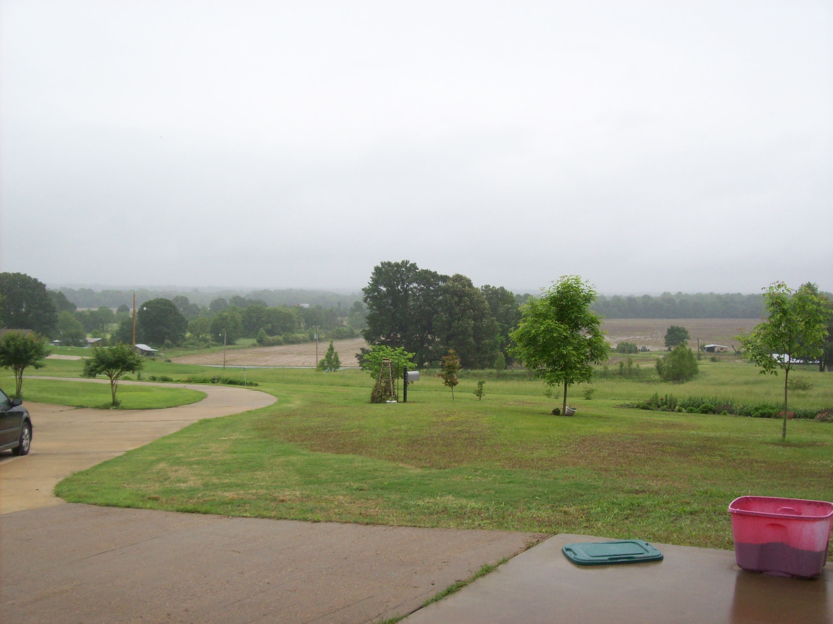
Batesville, MS - May 2009

Sardis, MS 2007
But I want some pecan logs!

September Sunrise

Tate County Sunset

Evening sky
Batesville, MS - May 2009
Topographic Map of Parks Place Rd, Sardis, MS, USA
Find elevation by address:

Places near Parks Place Rd, Sardis, MS, USA:
Holly Grove Rd, Sardis, MS, USA
Indian Creek Rd, Crenshaw, MS, USA
2766 Sees Chapel Rd
1407 Ranch Dr
Linwood Rd, Senatobia, MS, USA
MS-3, Sarah, MS, USA
Sarah
Quitman County
95 2nd St W
8368 Ms-4
3905 Arkabutla Dam Rd
Lambert
MS-, Coahoma, MS, USA
E River Rd, Lambert, MS, USA
MS-3, Robinsonville, MS, USA
MS-3, Robinsonville, MS, USA
Old U.S. 61, Dundee, MS, USA
Barksdale Rd, Marks, MS, USA
US-61, Coahoma, MS, USA
Dundee
Recent Searches:
- Elevation of Groblershoop, South Africa
- Elevation of Power Generation Enterprises | Industrial Diesel Generators, Oak Ave, Canyon Country, CA, USA
- Elevation of Chesaw Rd, Oroville, WA, USA
- Elevation of N, Mt Pleasant, UT, USA
- Elevation of 6 Rue Jules Ferry, Beausoleil, France
- Elevation of Sattva Horizon, 4JC6+G9P, Vinayak Nagar, Kattigenahalli, Bengaluru, Karnataka, India
- Elevation of Great Brook Sports, Gold Star Hwy, Groton, CT, USA
- Elevation of 10 Mountain Laurels Dr, Nashua, NH, USA
- Elevation of 16 Gilboa Ln, Nashua, NH, USA
- Elevation of Laurel Rd, Townsend, TN, USA