Elevation of Parkdale, AR, USA
Location: United States > Arkansas > Ashley County > De Bastrop Township >
Longitude: -91.545676
Latitude: 33.1215116
Elevation: 34m / 112feet
Barometric Pressure: 101KPa
Elevation Map:
Satellite Map:
Related Photos:
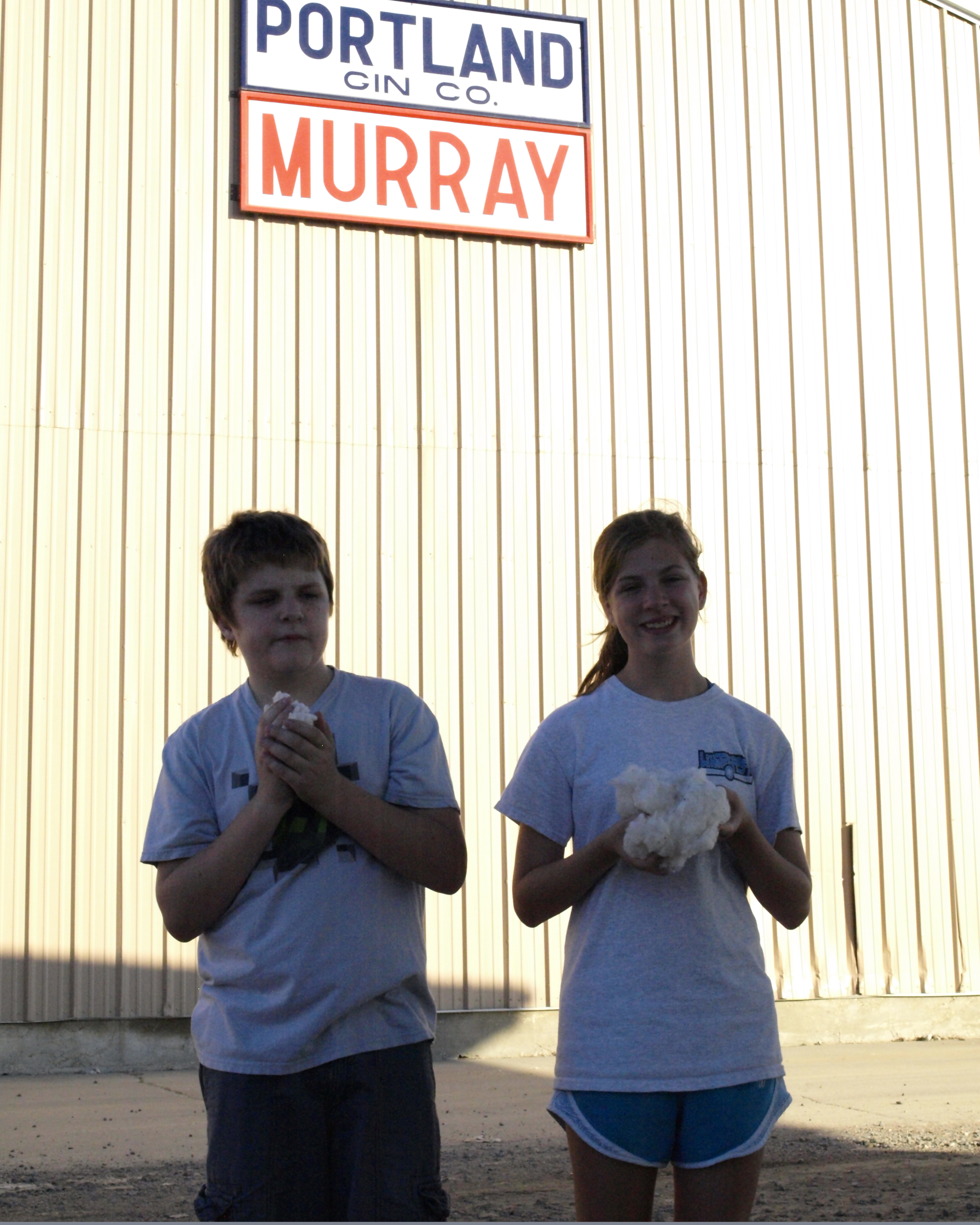
Portland Gin Company

Somewhere between Greenville, MS and Monroe, LA

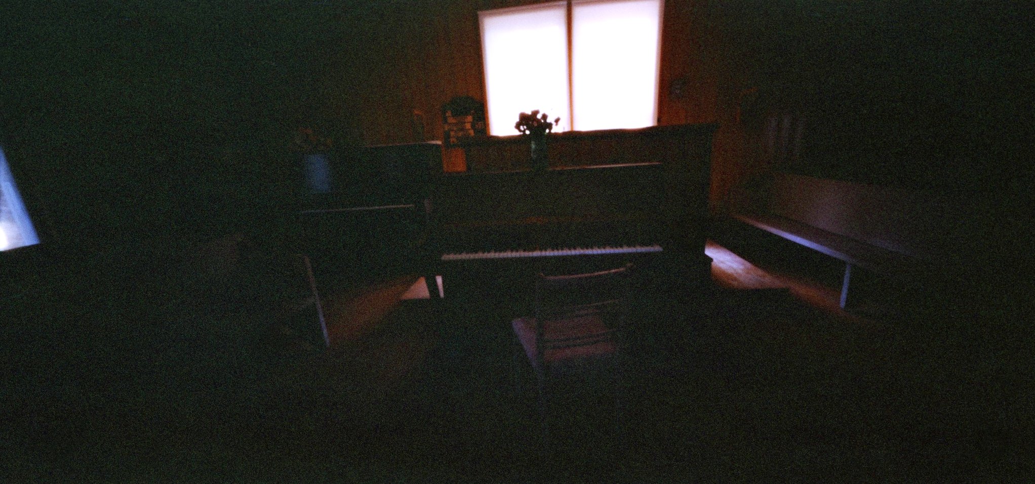
piano, beech creek church
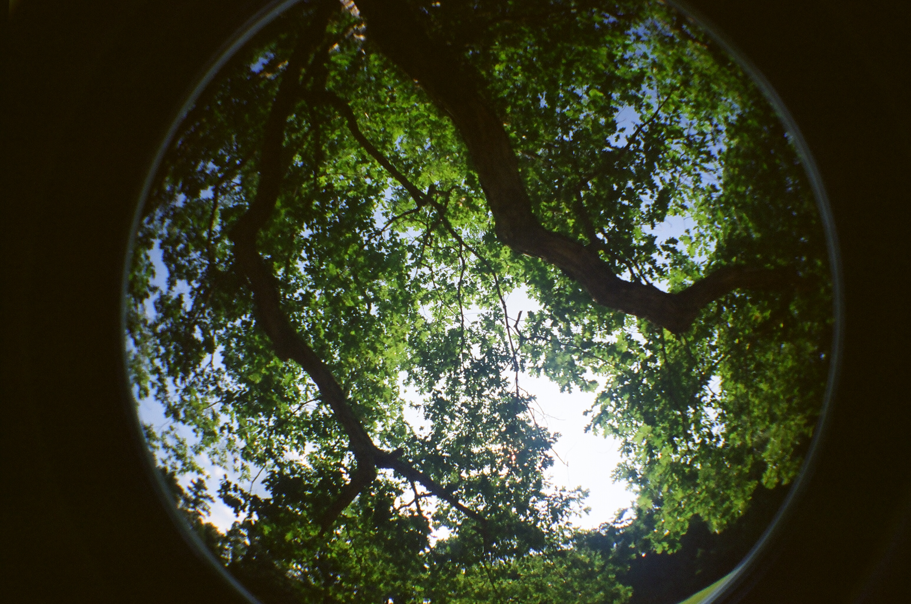
the tree above my great-grandparents' grave

William Edgar Brown & Caroline Amanda Stone Brown

ice cream stand
beech creek church

beech creek church
Topographic Map of Parkdale, AR, USA
Find elevation by address:

Places in Parkdale, AR, USA:
Places near Parkdale, AR, USA:
AR-8, Parkdale, AR, USA
De Bastrop Township
AR-8, Eudora, AR, USA
US-82, Montrose, AR, USA
Banner Township
US-82, Montrose, AR, USA
Montrose
Montrose Township
US-82, Montrose, AR, USA
Extra Township
Ashley County
Co Rd 25, Hamburg, AR, USA
US-82, Hamburg, AR, USA
Ashley Rd 60, Montrose, AR, USA
Bayou Township
Co Rd, Hamburg, AR, USA
Carter Township
Hamburg
N Main St, Hamburg, AR, USA
LA-, Oak Grove, LA, USA
Recent Searches:
- Elevation of Corso Fratelli Cairoli, 35, Macerata MC, Italy
- Elevation of Tallevast Rd, Sarasota, FL, USA
- Elevation of 4th St E, Sonoma, CA, USA
- Elevation of Black Hollow Rd, Pennsdale, PA, USA
- Elevation of Oakland Ave, Williamsport, PA, USA
- Elevation of Pedrógão Grande, Portugal
- Elevation of Klee Dr, Martinsburg, WV, USA
- Elevation of Via Roma, Pieranica CR, Italy
- Elevation of Tavkvetili Mountain, Georgia
- Elevation of Hartfords Bluff Cir, Mt Pleasant, SC, USA