Elevation of AR-8, Parkdale, AR, USA
Location: United States > Arkansas > Ashley County > De Bastrop Township > Parkdale >
Longitude: -91.546646
Latitude: 33.121631
Elevation: 34m / 112feet
Barometric Pressure: 0KPa
Related Photos:
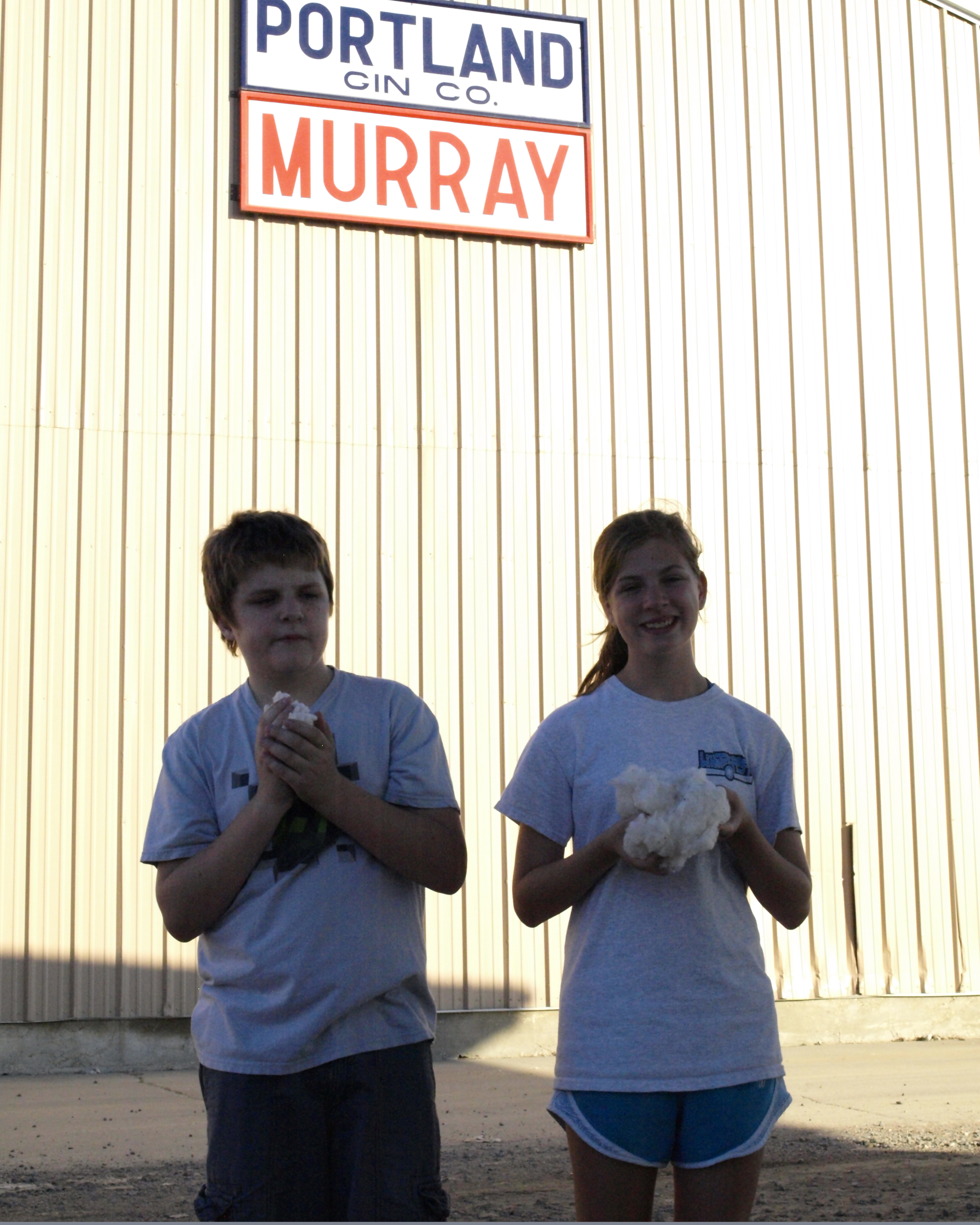
Portland Gin Company

Somewhere between Greenville, MS and Monroe, LA
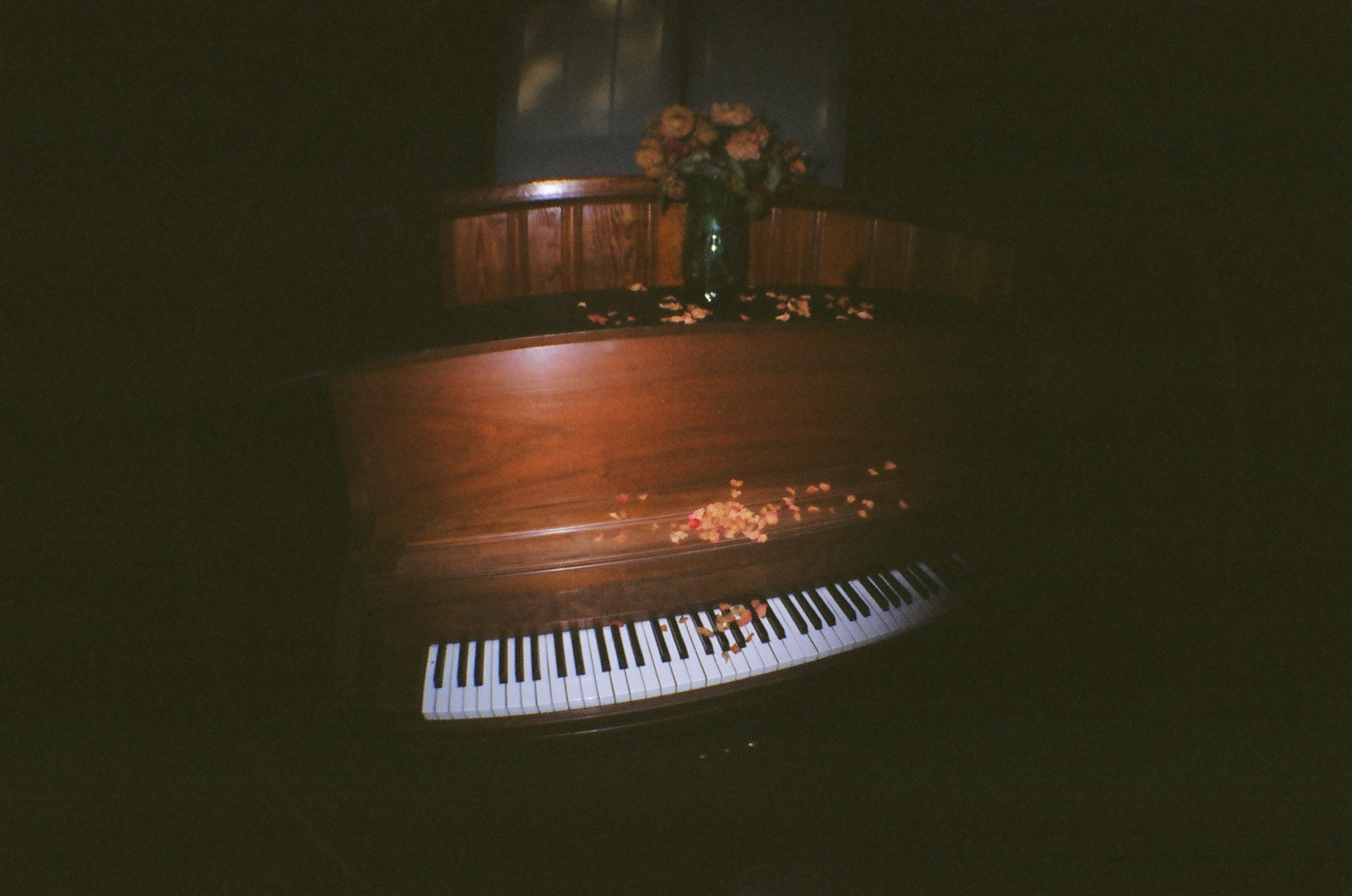
piano, beech creek church
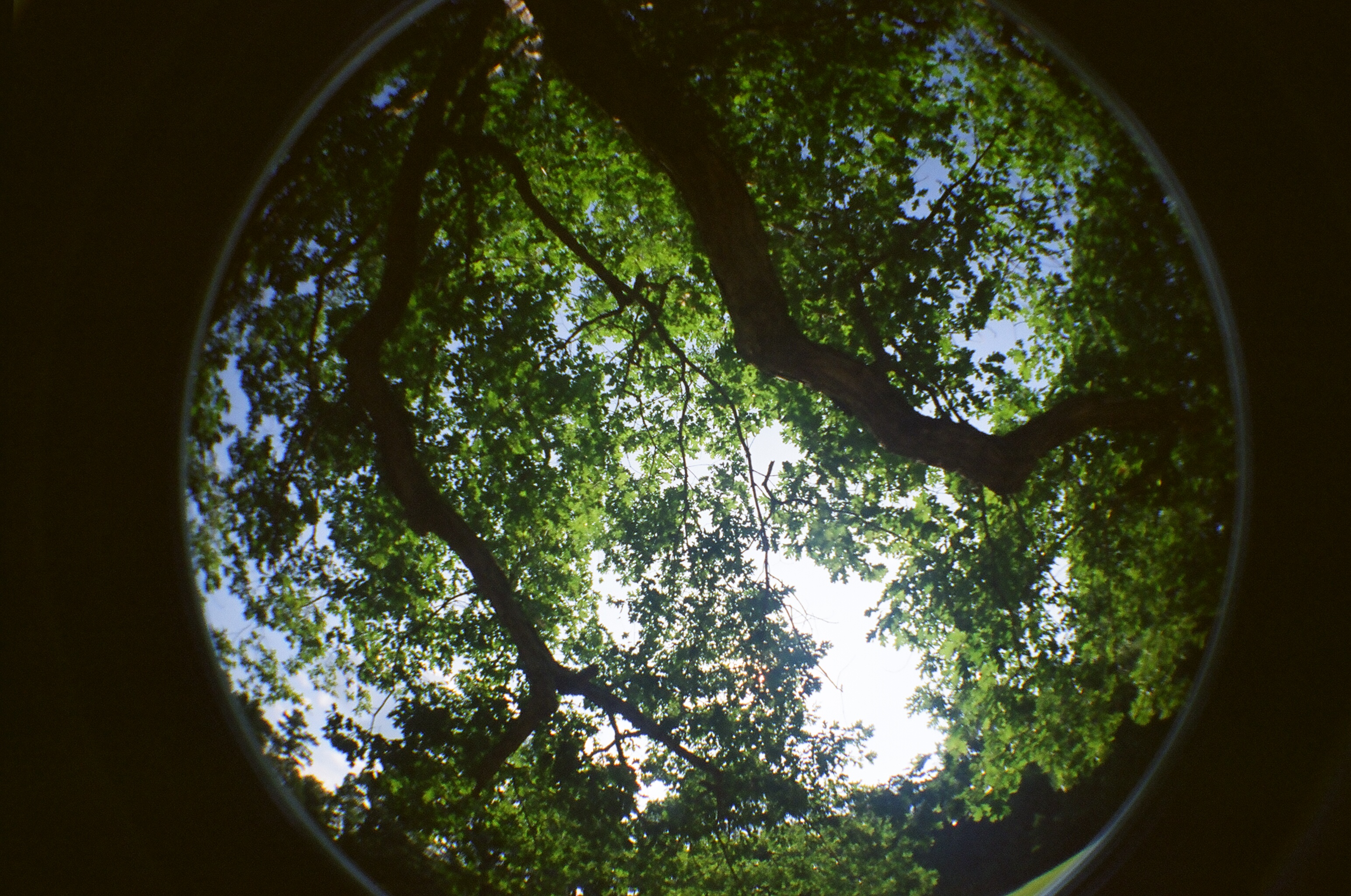
the tree above my great-grandparents' grave

William Edgar Brown & Caroline Amanda Stone Brown

ice cream stand
beech creek church

beech creek church
Topographic Map of AR-8, Parkdale, AR, USA
Find elevation by address:

Places near AR-8, Parkdale, AR, USA:
Parkdale
De Bastrop Township
AR-8, Eudora, AR, USA
US-82, Montrose, AR, USA
Banner Township
US-82, Montrose, AR, USA
Montrose
Montrose Township
US-82, Montrose, AR, USA
Extra Township
Ashley County
Co Rd 25, Hamburg, AR, USA
US-82, Hamburg, AR, USA
Ashley Rd 60, Montrose, AR, USA
Bayou Township
Co Rd, Hamburg, AR, USA
Carter Township
Hamburg
N Main St, Hamburg, AR, USA
LA-, Oak Grove, LA, USA
Recent Searches:
- Elevation of Sullivan Hill, New York, New York, 10002, USA
- Elevation of Morehead Road, Withrow Downs, Charlotte, Mecklenburg County, North Carolina, 28262, USA
- Elevation of 2800, Morehead Road, Withrow Downs, Charlotte, Mecklenburg County, North Carolina, 28262, USA
- Elevation of Yangbi Yi Autonomous County, Yunnan, China
- Elevation of Pingpo, Yangbi Yi Autonomous County, Yunnan, China
- Elevation of Mount Malong, Pingpo, Yangbi Yi Autonomous County, Yunnan, China
- Elevation map of Yongping County, Yunnan, China
- Elevation of North 8th Street, Palatka, Putnam County, Florida, 32177, USA
- Elevation of 107, Big Apple Road, East Palatka, Putnam County, Florida, 32131, USA
- Elevation of Jiezi, Chongzhou City, Sichuan, China
- Elevation of Chongzhou City, Sichuan, China
- Elevation of Huaiyuan, Chongzhou City, Sichuan, China
- Elevation of Qingxia, Chengdu, Sichuan, China
- Elevation of Corso Fratelli Cairoli, 35, Macerata MC, Italy
- Elevation of Tallevast Rd, Sarasota, FL, USA
- Elevation of 4th St E, Sonoma, CA, USA
- Elevation of Black Hollow Rd, Pennsdale, PA, USA
- Elevation of Oakland Ave, Williamsport, PA, USA
- Elevation of Pedrógão Grande, Portugal
- Elevation of Klee Dr, Martinsburg, WV, USA