Elevation of Park (South), MB R0J, Canada
Location: Canada > Manitoba > Division No. 15 >
Longitude: -100.43386
Latitude: 50.6700807
Elevation: 617m / 2024feet
Barometric Pressure: 94KPa
Elevation Map:
Satellite Map:
Related Photos:
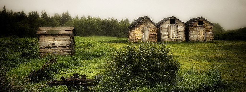
Riding Mountain National Park ~Explore 5 Jul 2014
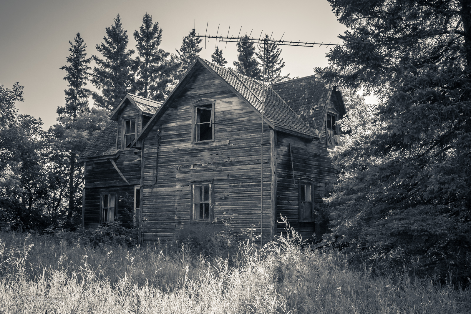
The TV House

The Wood Stove House
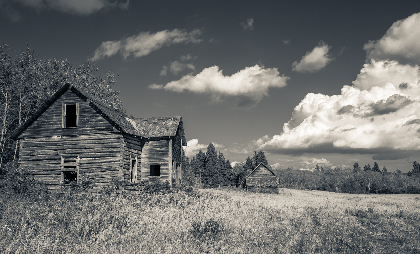
The Homestead
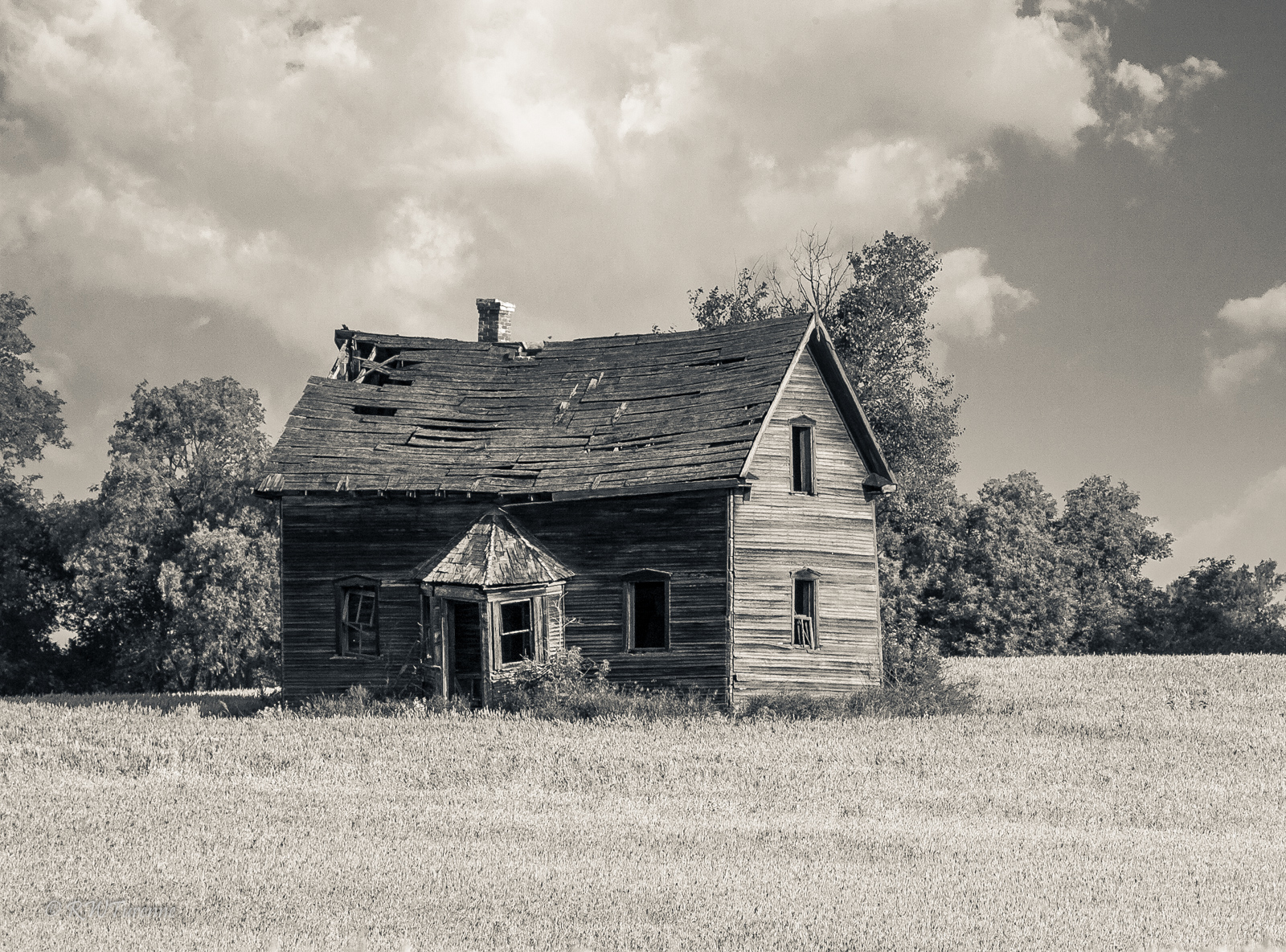
House On Hill
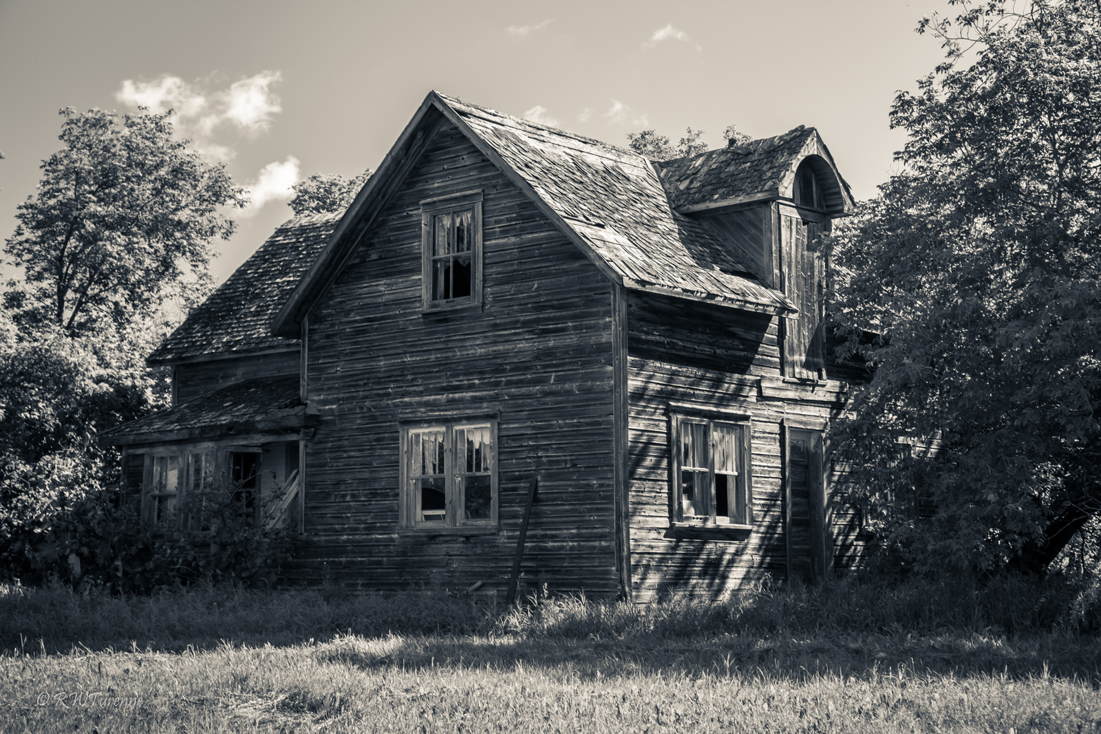
Close to Home
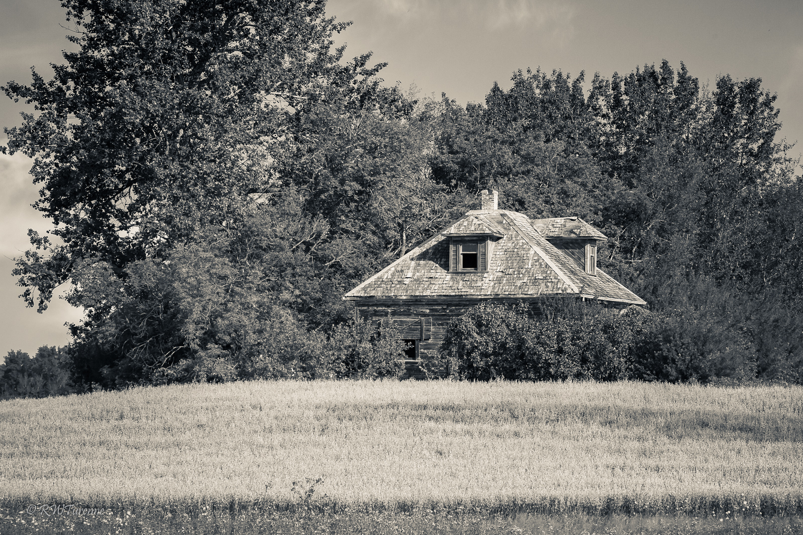
The Square House
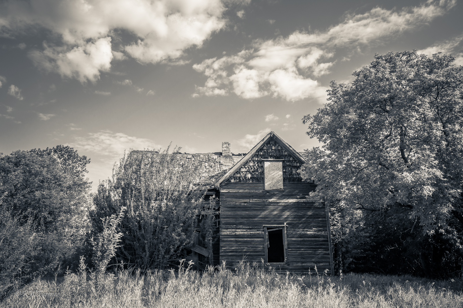
The Hidden House
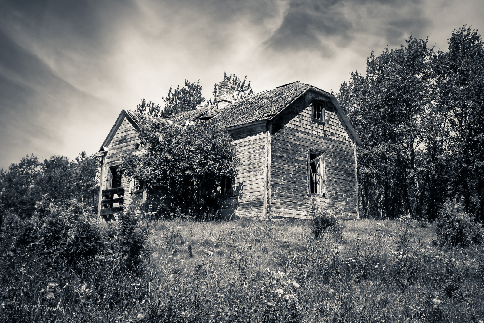
The Cowpie House

Ahmed och Saska

Olha 4
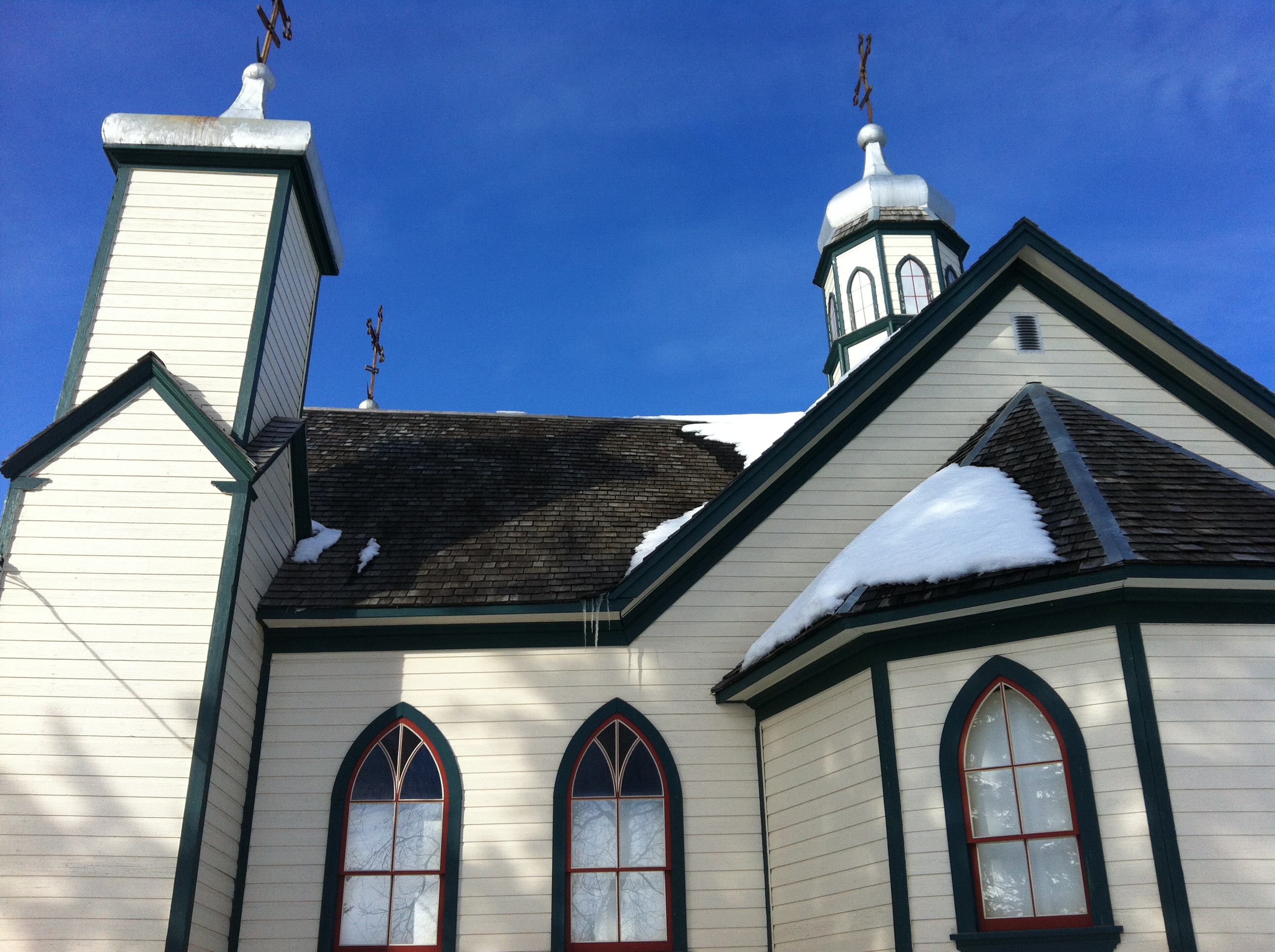
Eglise ukrainienne
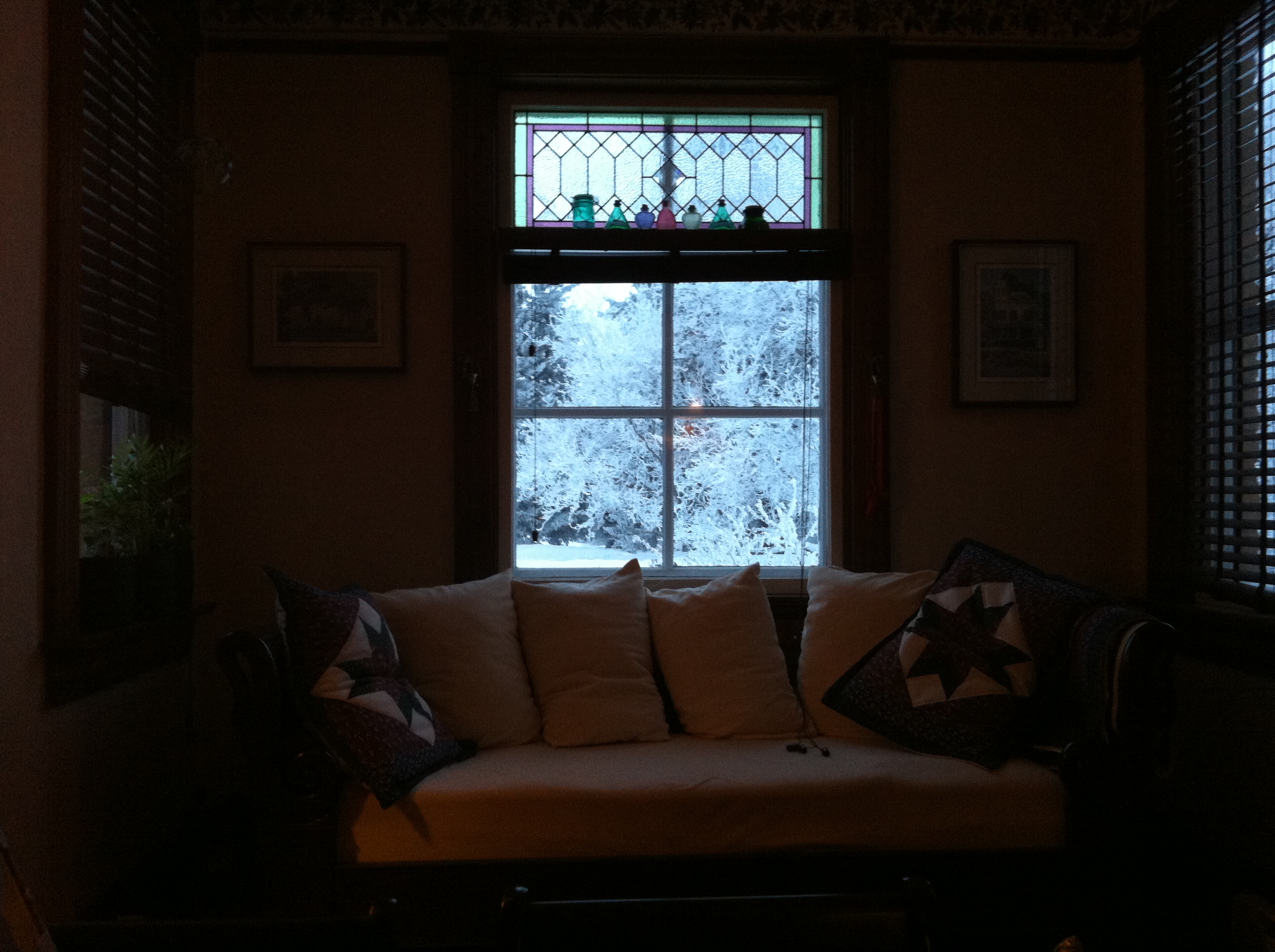
pendant le petit déj'

le givre était superbe ce jour là
Topographic Map of Park (South), MB R0J, Canada
Find elevation by address:

Places in Park (South), MB R0J, Canada:
Places near Park (South), MB R0J, Canada:
Olha
Horod
Rossburn
Division No. 17, Unorganized
Rossburn
124 Victoria Ave
57 Victor Ave
Riding Mountain National Park
48 Poplar Ave
127 Country Side Dr
Wasagaming
Dauphin
Division No. 17
7 Ave NE, Dauphin, MB R7N 0W2, Canada
Baldy Mountain
Division No. 16
Mountain (south)
Division No. 20
Recent Searches:
- Elevation of Woodland Oak Pl, Thousand Oaks, CA, USA
- Elevation of Brownsdale Rd, Renfrew, PA, USA
- Elevation of Corcoran Ln, Suffolk, VA, USA
- Elevation of Mamala II, Sariaya, Quezon, Philippines
- Elevation of Sarangdanda, Nepal
- Elevation of 7 Waterfall Way, Tomball, TX, USA
- Elevation of SW 57th Ave, Portland, OR, USA
- Elevation of Crocker Dr, Vacaville, CA, USA
- Elevation of Pu Ngaol Community Meeting Hall, HWHM+3X7, Krong Saen Monourom, Cambodia
- Elevation of Royal Ontario Museum, Queens Park, Toronto, ON M5S 2C6, Canada