Elevation map of Division No. 16, MB, Canada
Location: Canada > Manitoba >
Longitude: -101.20645
Latitude: 51.0610857
Elevation: 572m / 1877feet
Barometric Pressure: 95KPa
Elevation Map:
Satellite Map:
Related Photos:
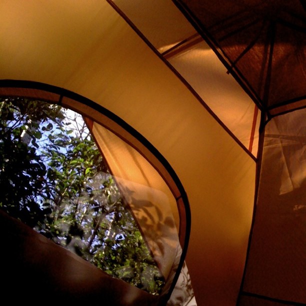
View from my window.
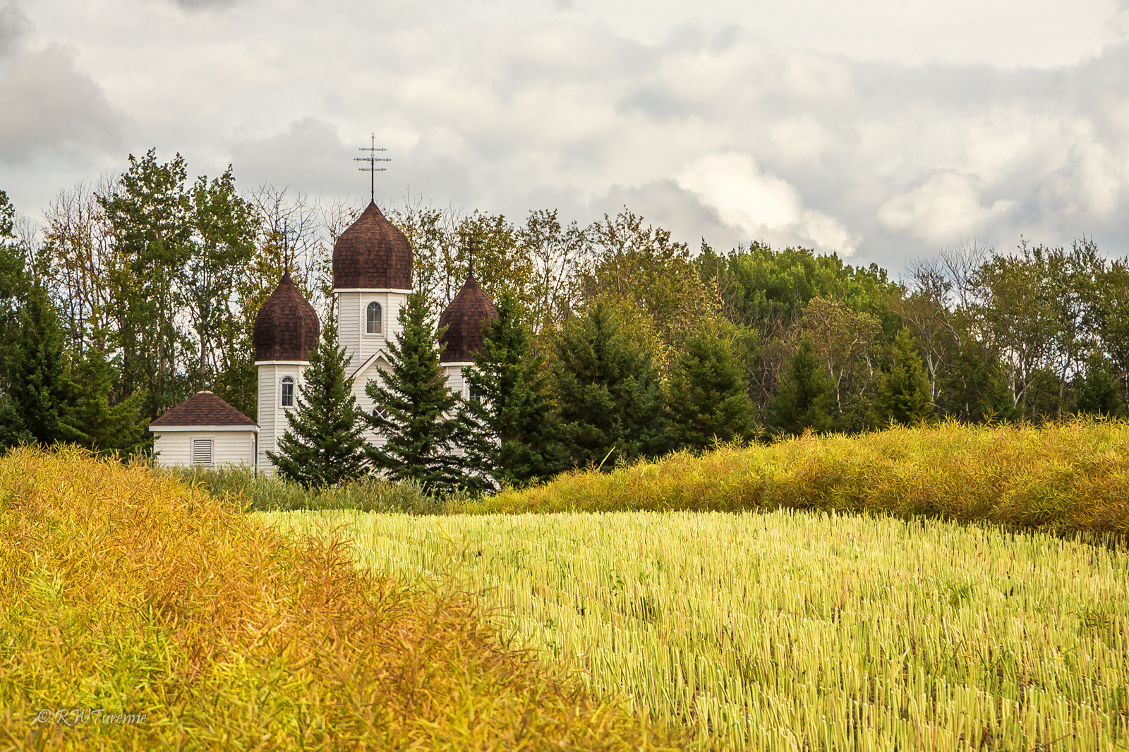
Country Church
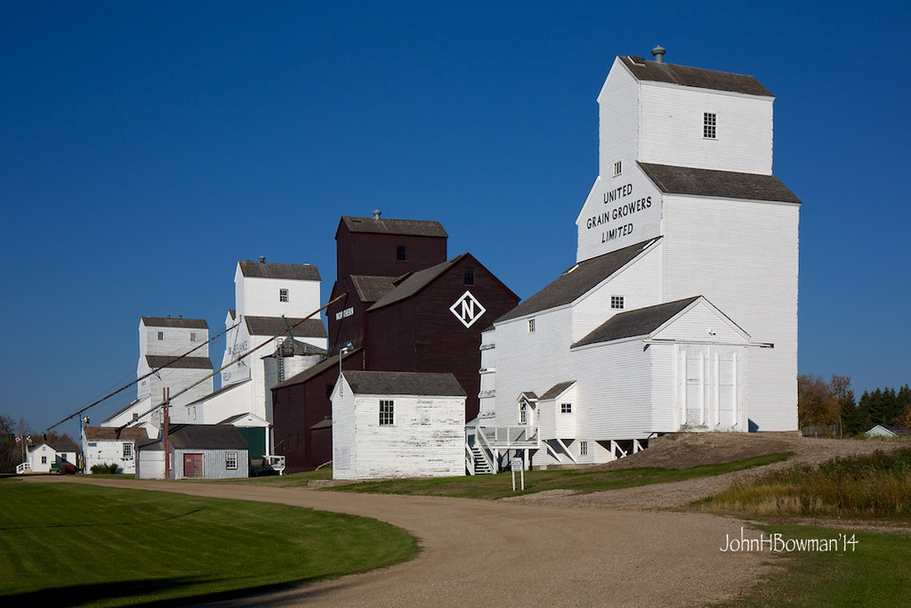
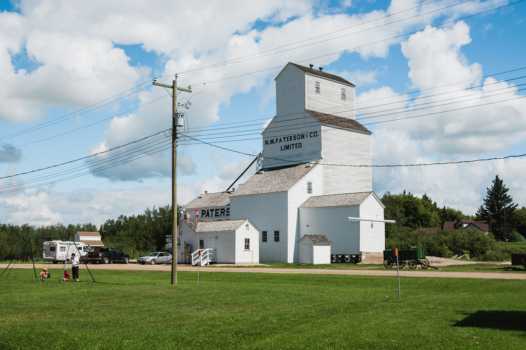
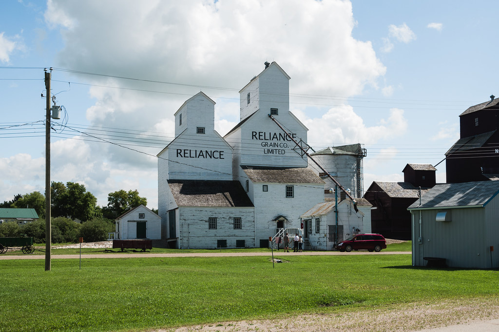
Inglis Grain Elevators National Historic Site
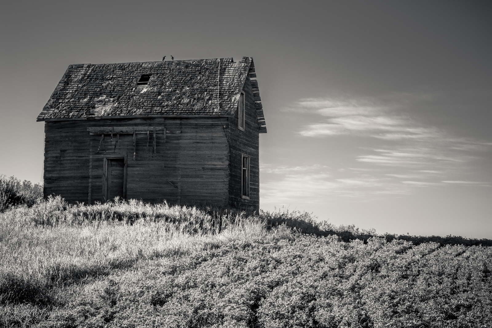
The Outstanding House
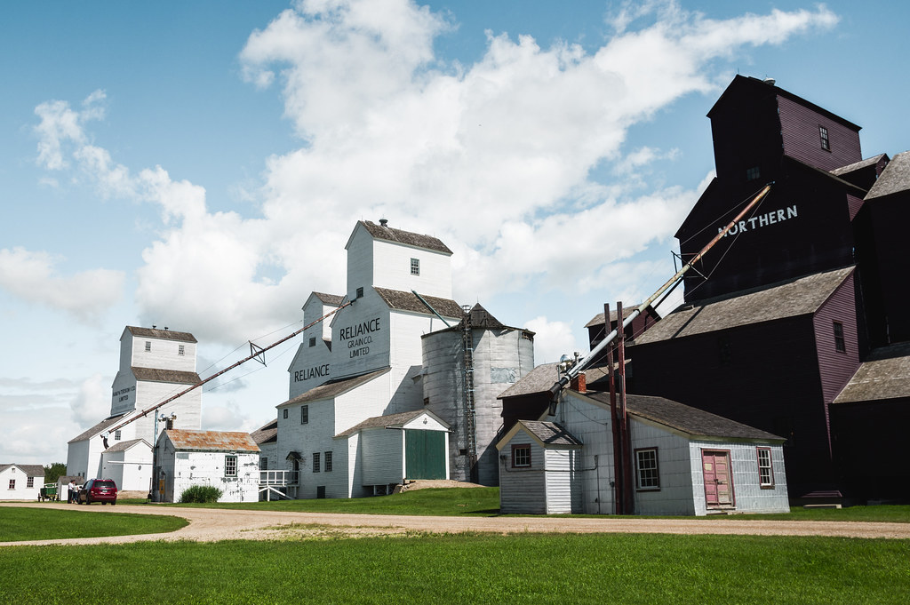
Elevator Row
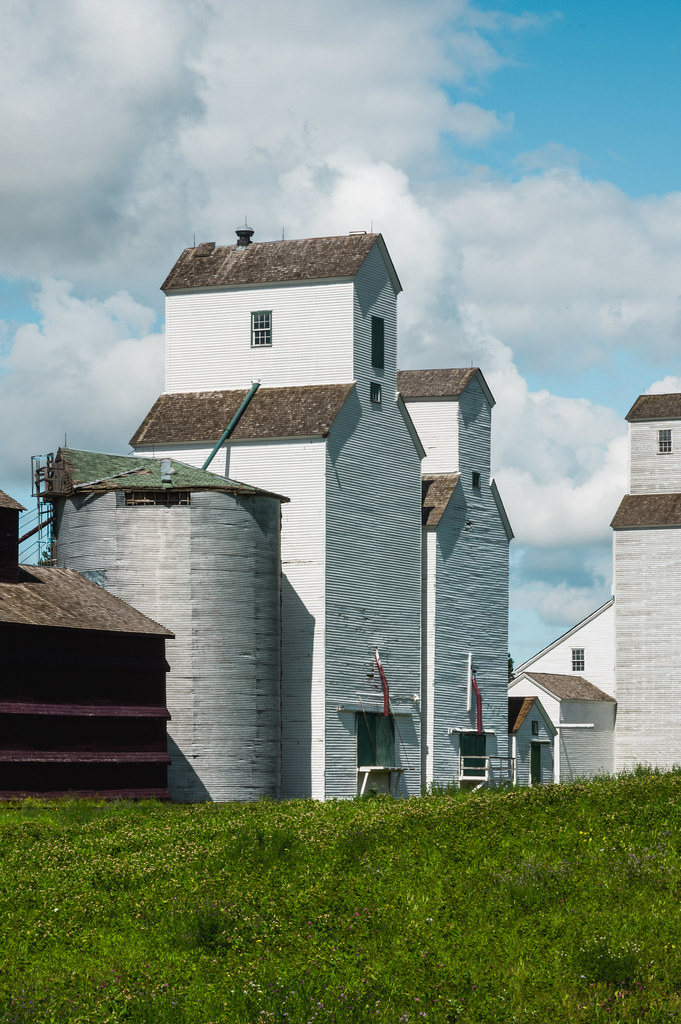
Elevator Row
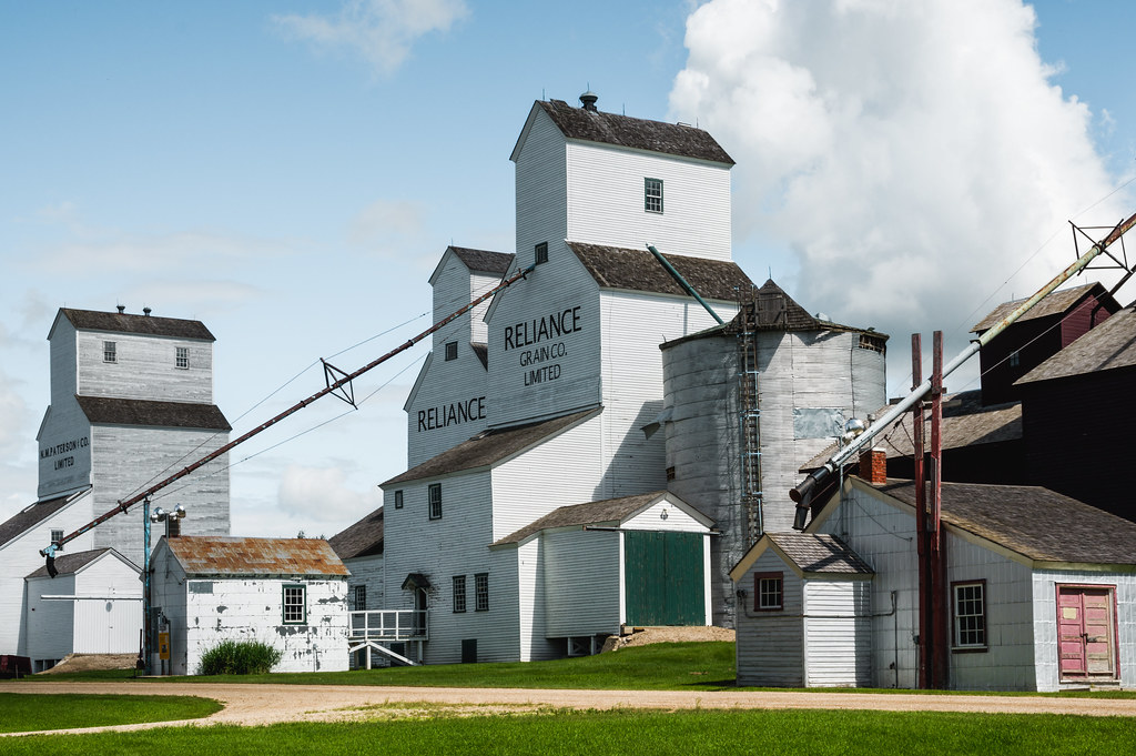
Elevator Row
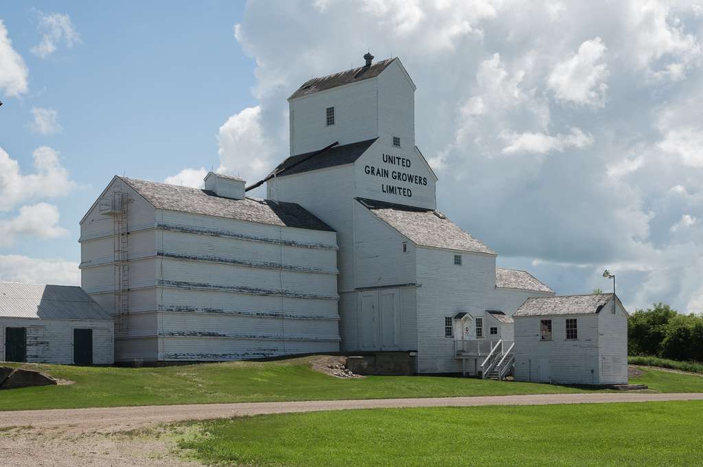
Elevator Row
Elevator Row
Elevator Row
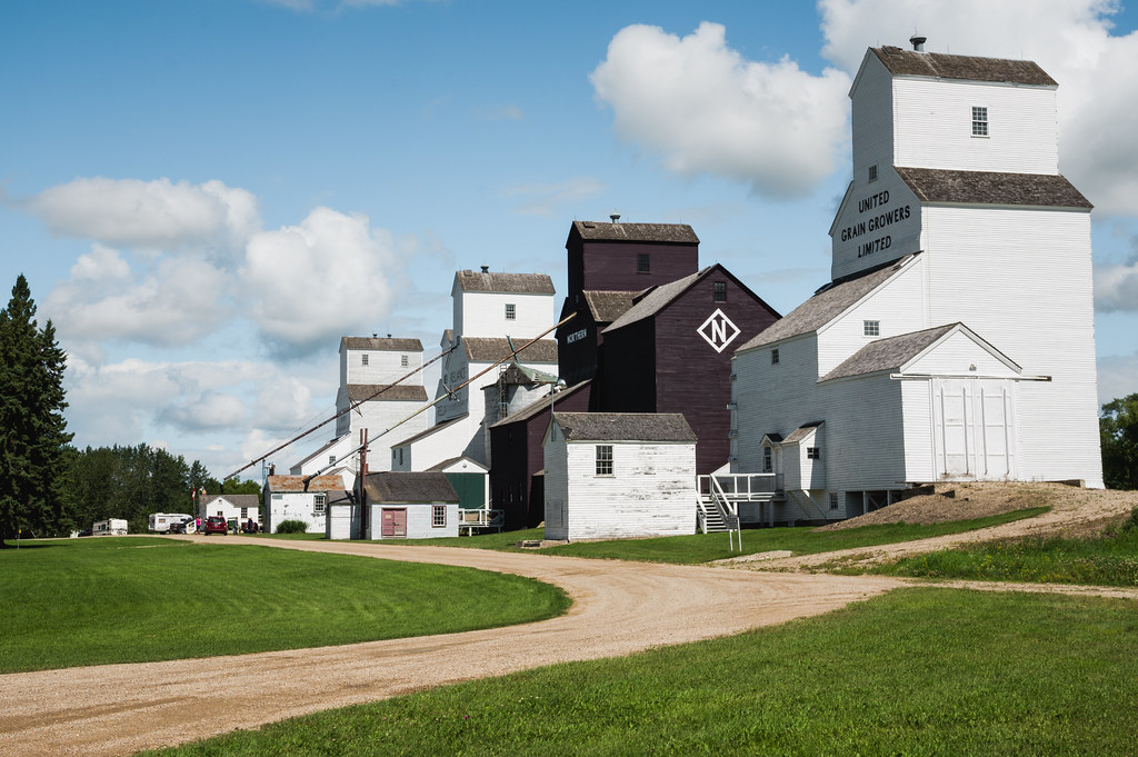
Elevator Row
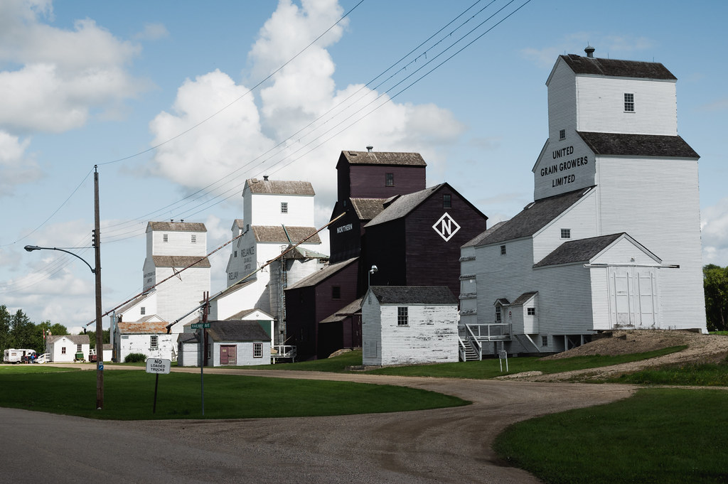
Elevator Row

GGO_2013-12-26_31

GGO_2013-12-27_69

GGO_2013-12-27_66

GGO_2013-12-27_61

GGO_2013-12-27_60

GGO_2013-12-27_59

GGO_2013-12-27_57

GGO_2013-12-27_49

GGO_2013-12-27_48
Topographic Map of Division No. 16, MB, Canada
Find elevation by address:

Places in Division No. 16, MB, Canada:
Places near Division No. 16, MB, Canada:
124 Victoria Ave
Rossburn
Baldy Mountain
Rossburn
Olha
Park (south)
Division No. 20
Horod
Division No. 17, Unorganized
Mountain (south)
Dauphin
7 Ave NE, Dauphin, MB R7N 0W2, Canada
Division No. 17
57 Victor Ave
Riding Mountain National Park
48 Poplar Ave
Wasagaming
127 Country Side Dr
Recent Searches:
- Elevation of Corso Fratelli Cairoli, 35, Macerata MC, Italy
- Elevation of Tallevast Rd, Sarasota, FL, USA
- Elevation of 4th St E, Sonoma, CA, USA
- Elevation of Black Hollow Rd, Pennsdale, PA, USA
- Elevation of Oakland Ave, Williamsport, PA, USA
- Elevation of Pedrógão Grande, Portugal
- Elevation of Klee Dr, Martinsburg, WV, USA
- Elevation of Via Roma, Pieranica CR, Italy
- Elevation of Tavkvetili Mountain, Georgia
- Elevation of Hartfords Bluff Cir, Mt Pleasant, SC, USA