Elevation of Parbat, Nepal
Location: Nepal > Western Region > Dhawalagiri >
Longitude: 83.6986568
Latitude: 28.178049
Elevation: 1425m / 4675feet
Barometric Pressure: 85KPa
Elevation Map:
Satellite Map:
Related Photos:
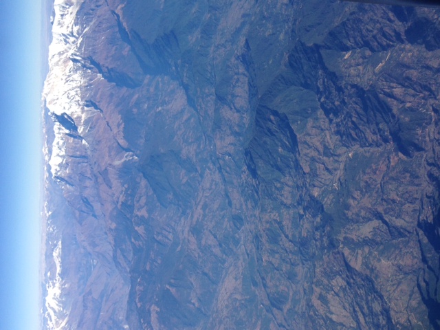
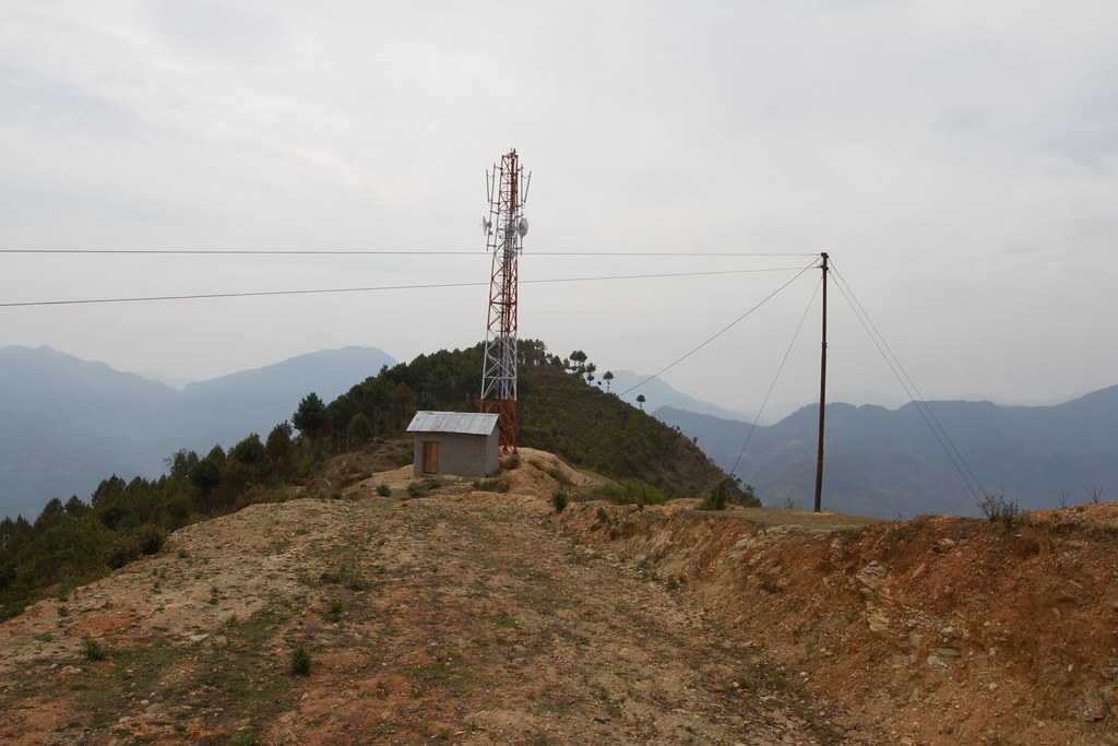
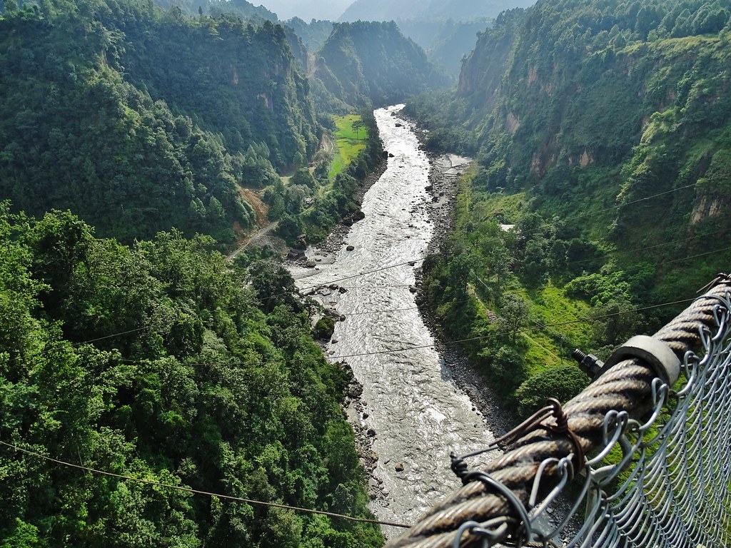
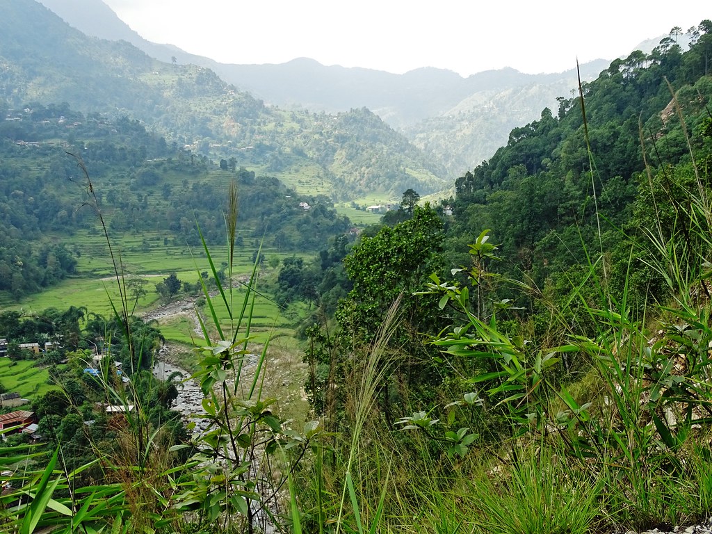
Aerial view of the Himalayas

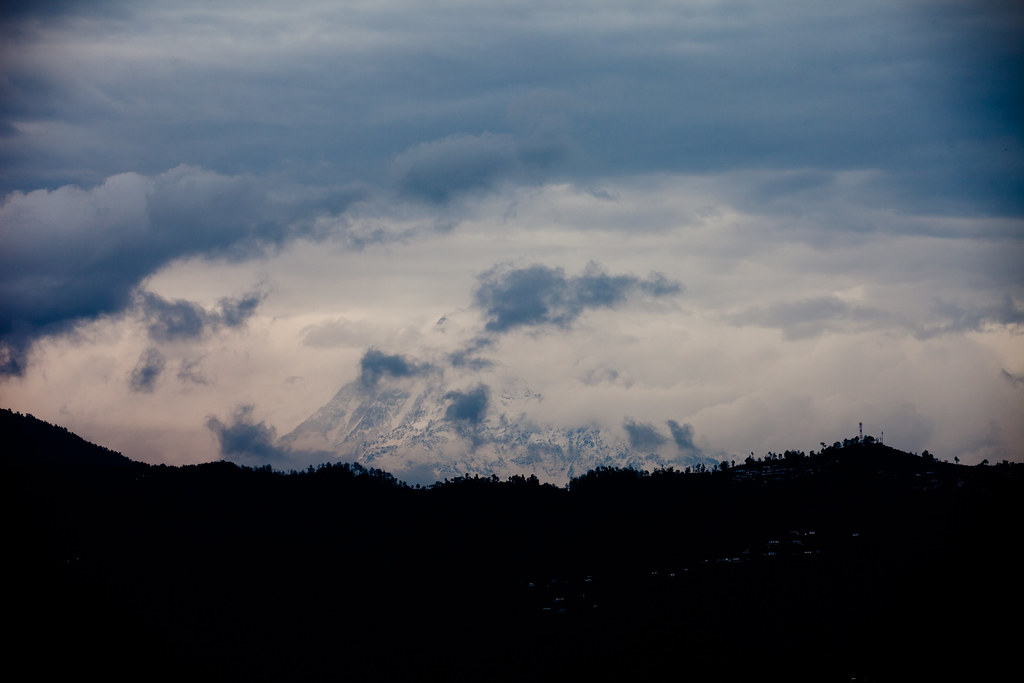
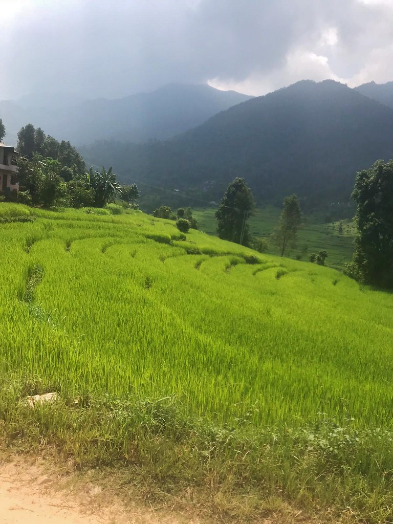
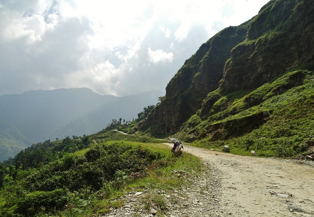
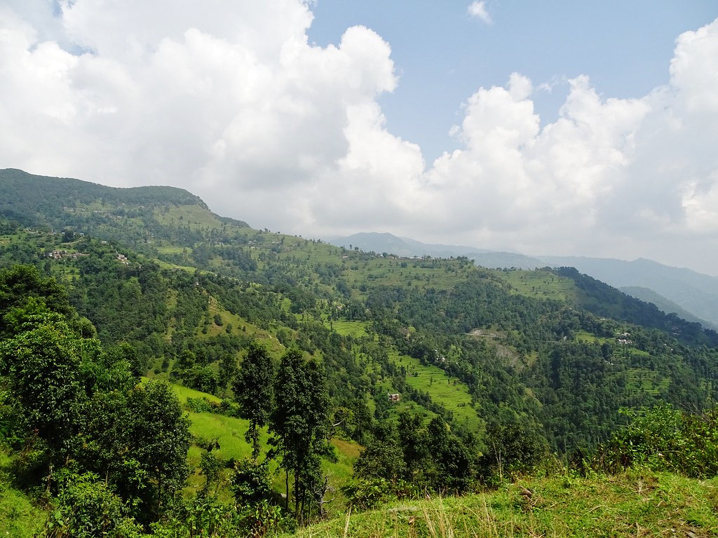
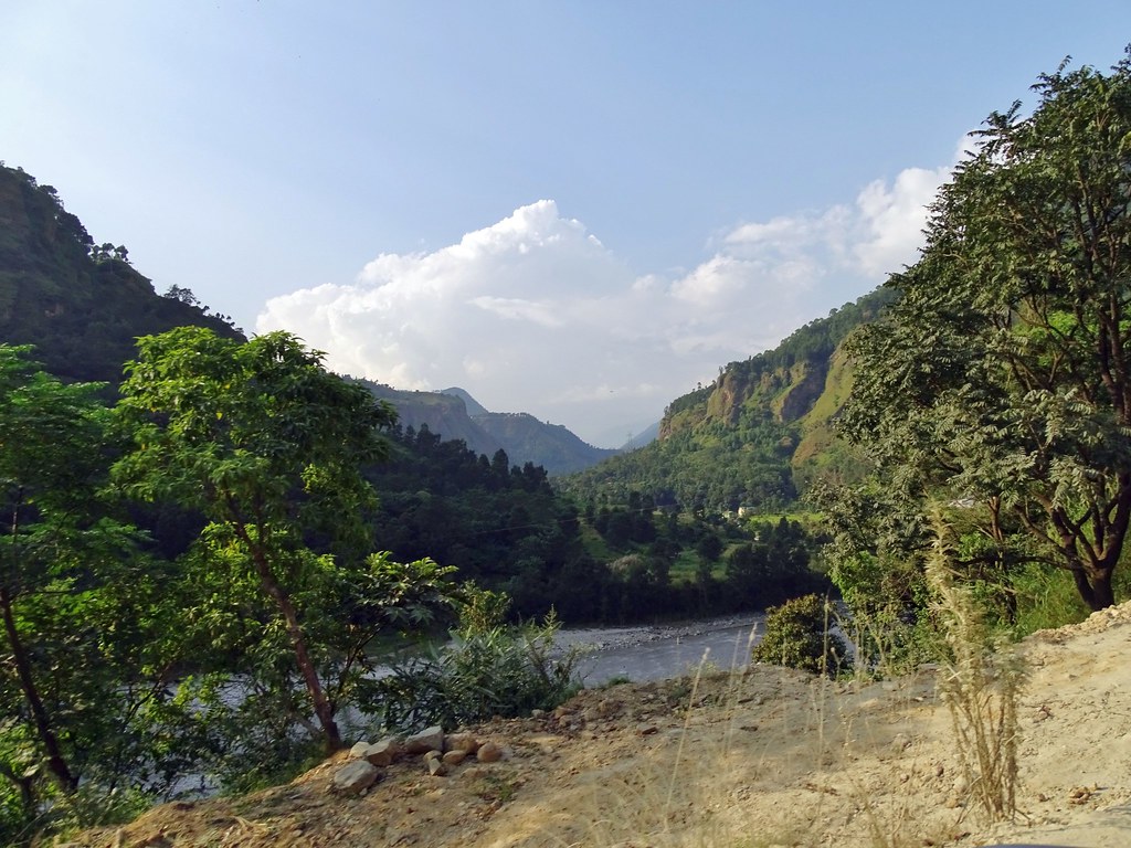
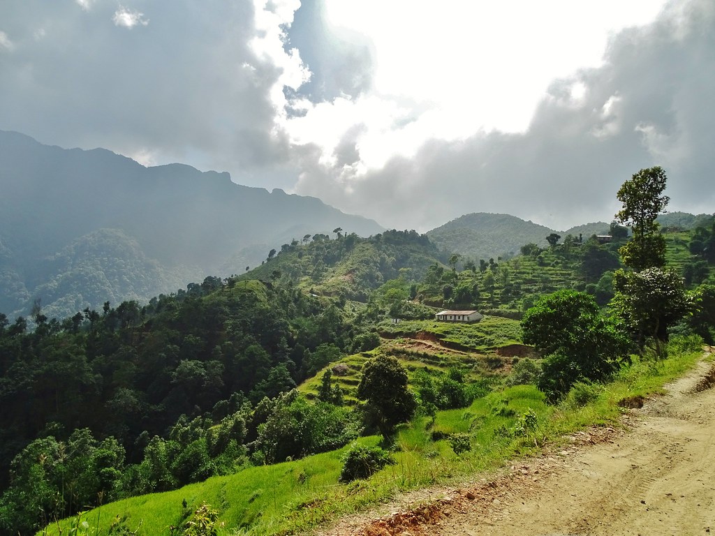
The Himalayan Trail
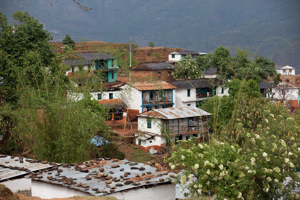
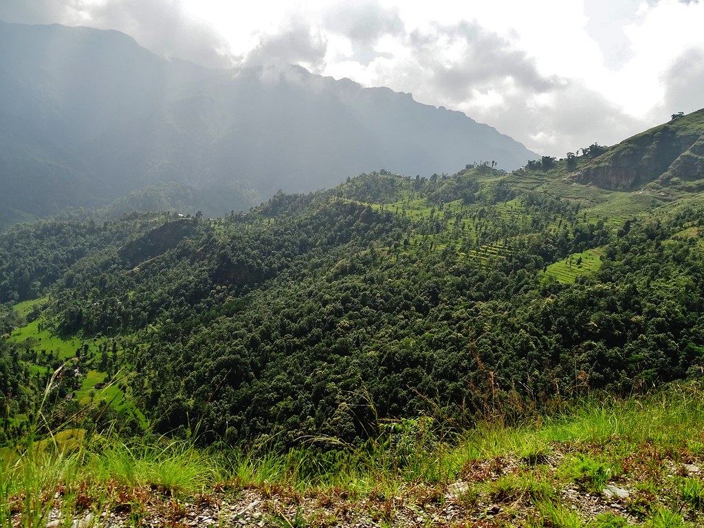
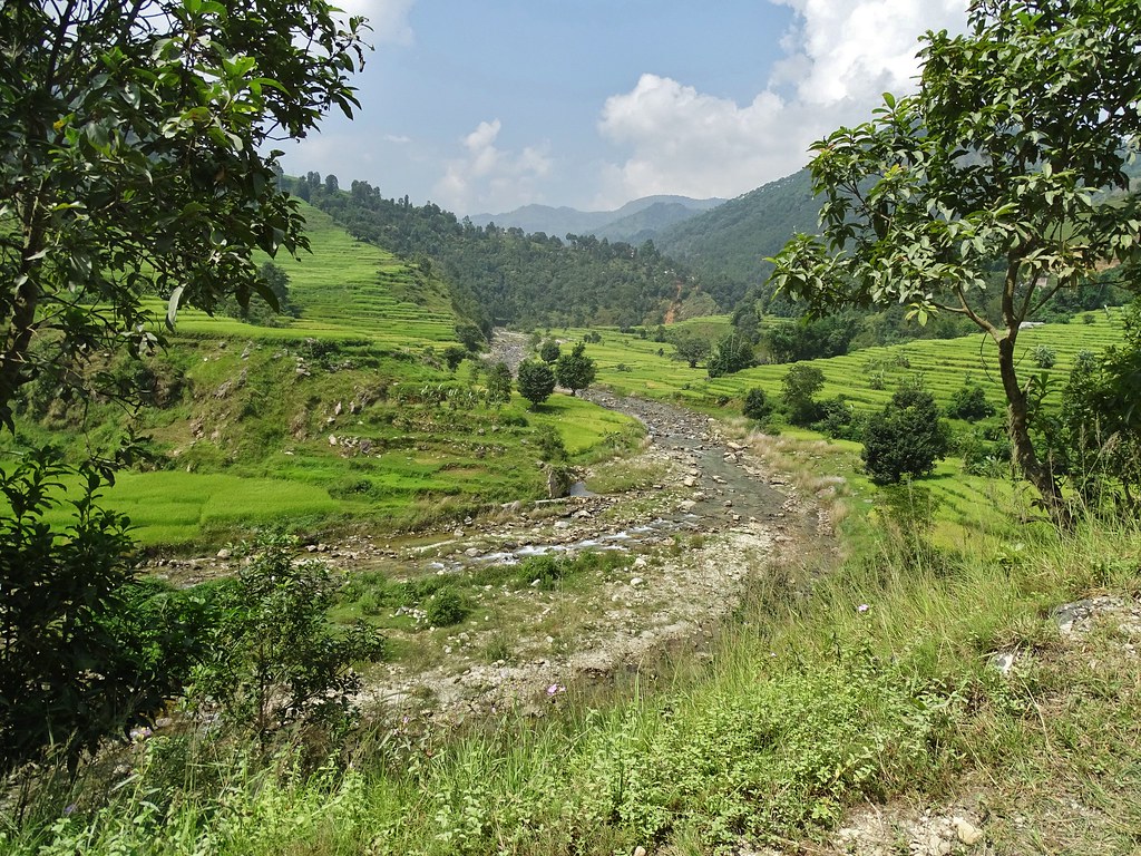
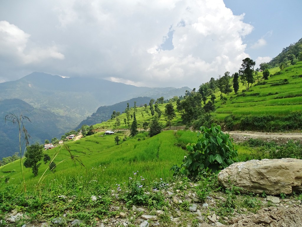
The Himalayan Trail
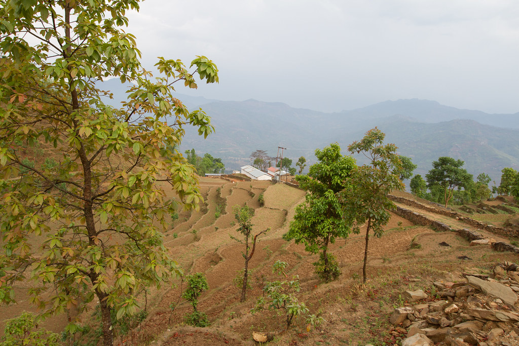
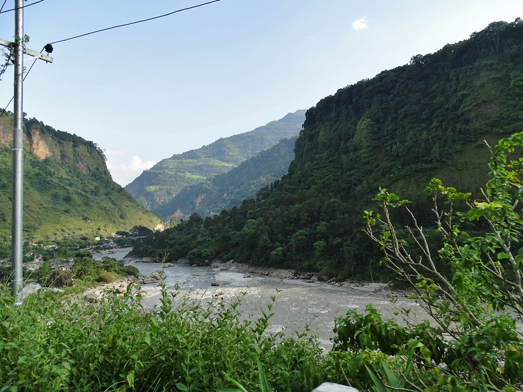
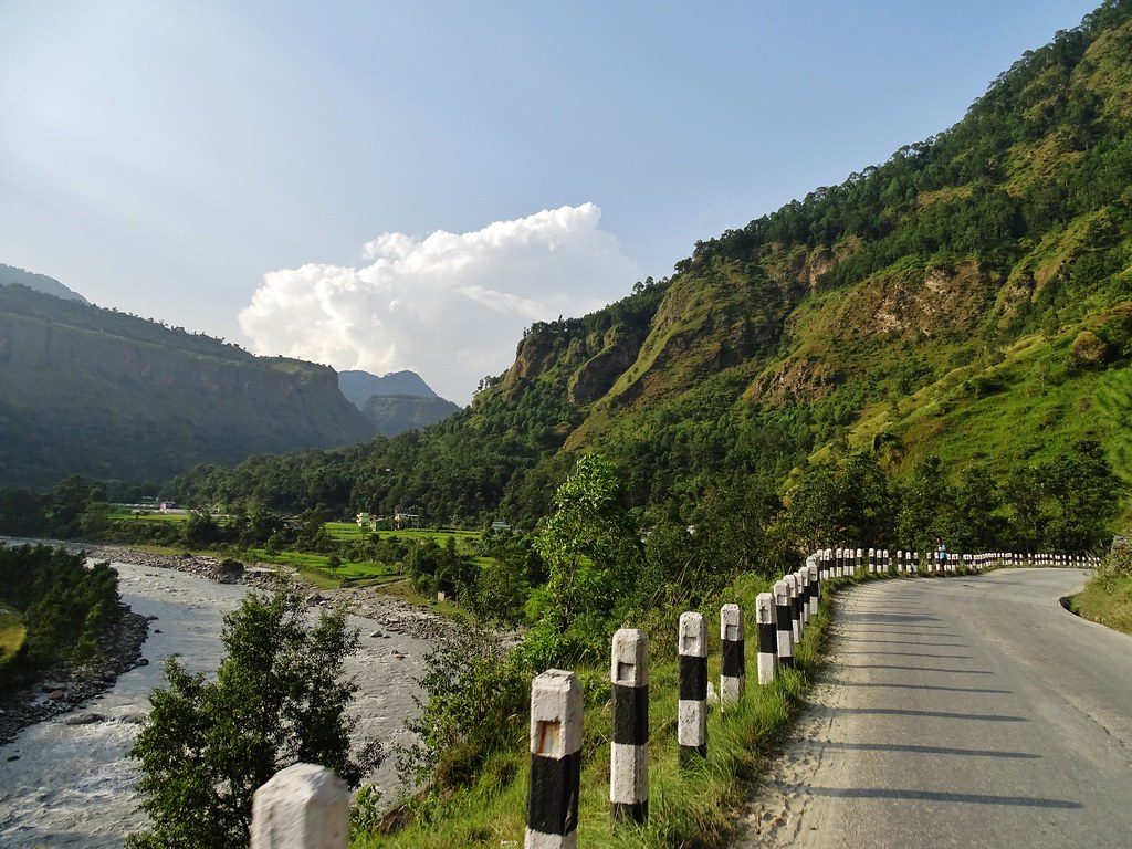
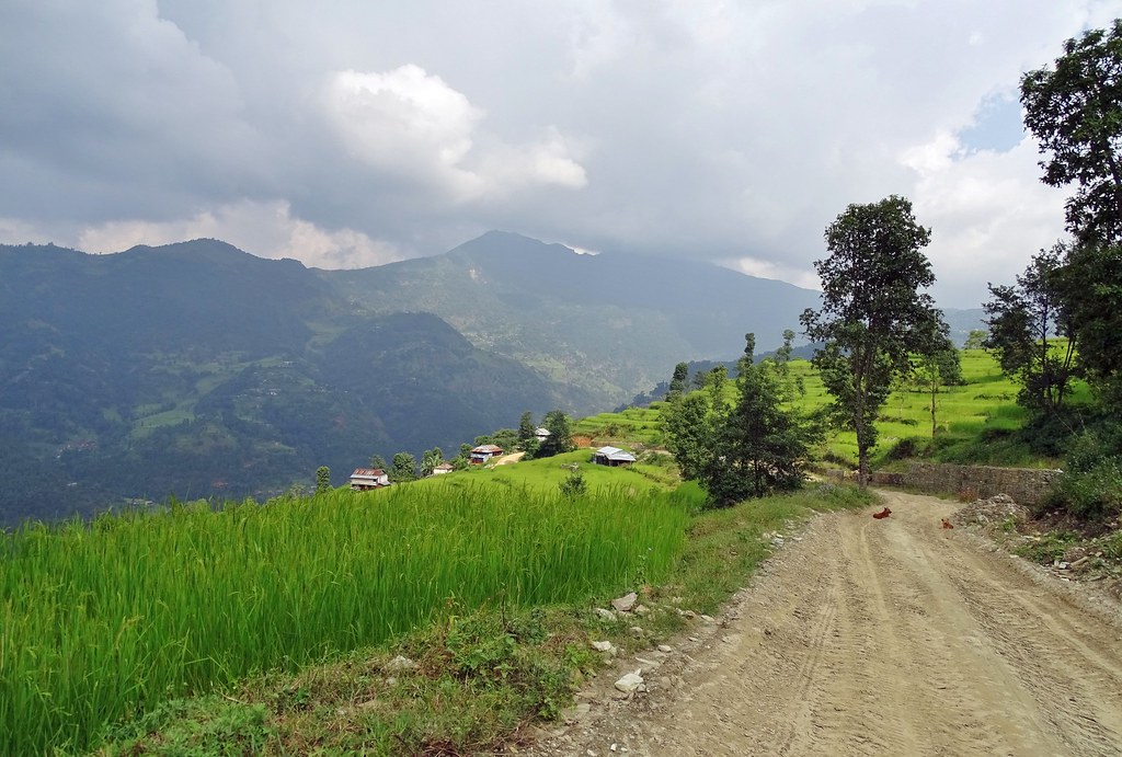
The Himalayan Trail
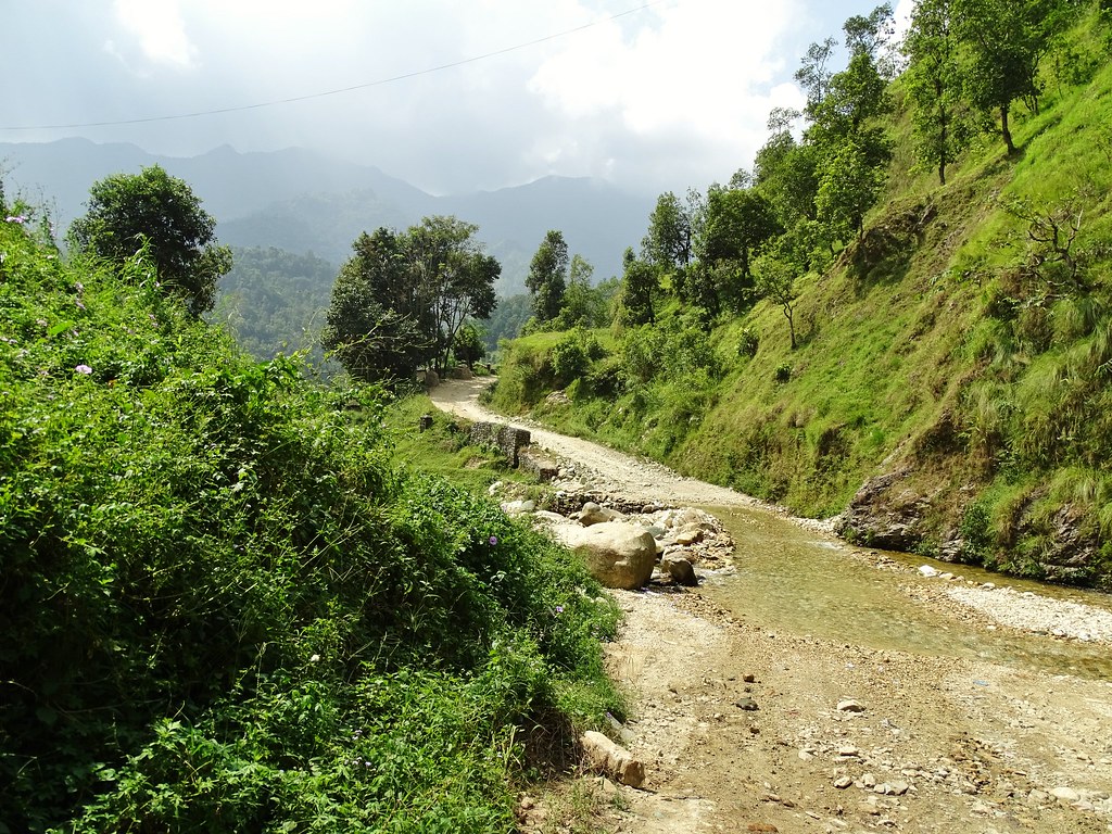
The Himalayan Trail
The Himalayan Trail
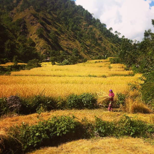
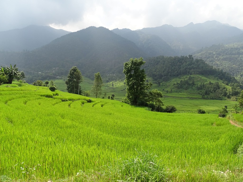
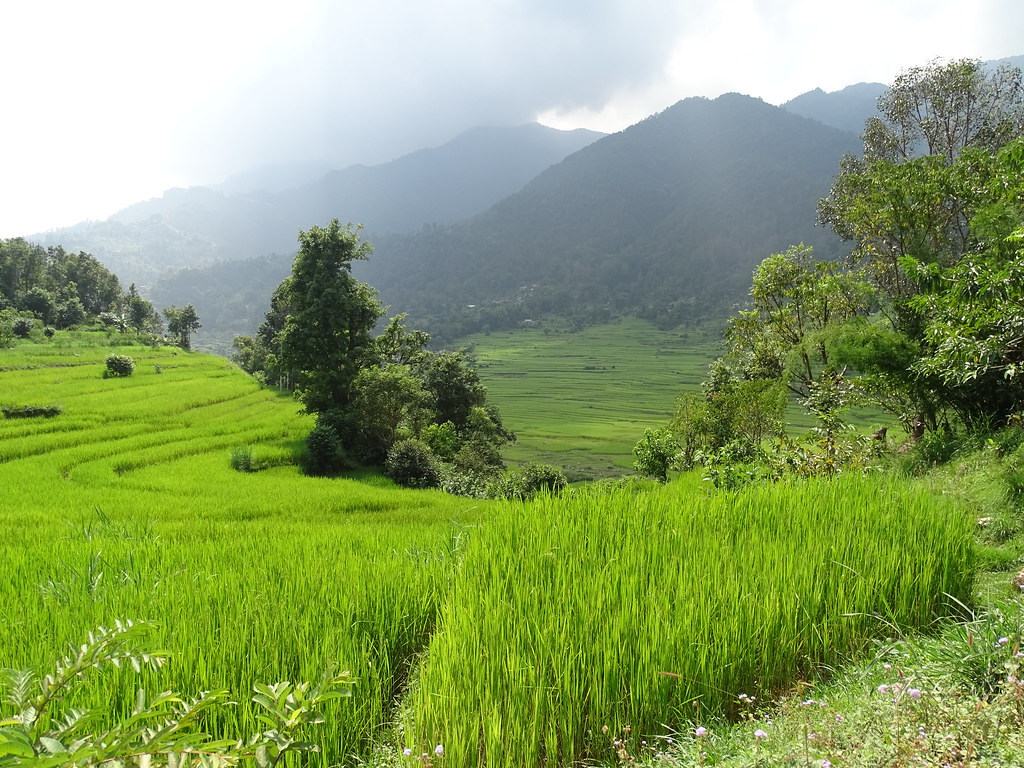
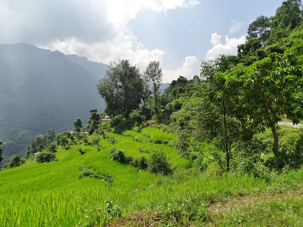
Terrace Farming. Rice #Nepal #west #yellow #nature #cultivation #sister #green #asia
20181001.0655a.NEPAL.Betehani
20181001.0839.NEPAL.Maldhunga
20181001.0801.NEPAL.Majhbeni

20181001.0692a.NEPAL.Haramta
20181001.0657.NEPAL.Betehani
20181001.0713.NEPAL.Chuderagaun
20181001.0706.NEPAL.Nunthala.Chuderagaun
20181001.0681.NEPAL.Diha

20181001.0792.NEPAL.Harrachaur.Sayele
20181001.0714.NEPAL.Chuderagaun
20181001.0851.NEPAL.Naglibun.Daha
20181001.0667.NEPAL.Jugle
20181001.0659.NEPAL.Betehani
20181001.0847.NEPAL.Khaniyaghat
20181001.0671.NEPAL.Chanaute

_CL04449.jpg
20181001.0768.NEPAL.Silmi.Laamaathaa
20181001.0701.NEPAL.Pakhribot
20181001.0723.NEPAL.Ghoptechaur.Makre
20181001.0766.NEPAL.Silmi.Laamaathaa
Topographic Map of Parbat, Nepal
Find elevation by address:

Places near Parbat, Nepal:
Narayan Ma Vi Galli
Shivalaya
Kushma
Modi Khola Hydro Power Dam
Deupur
Nayapul Trekking Starting Point
Salyan
Nayapul Starting
Naudanda
Bhadaure Tamagi
Kande Baraha Than काँडे बराह थान
Annapurna Rural Municipality Office अन्नपूर्ण गाउँपालिका,कास्की
Hotel Panorama Dhampus
Ulleri
Ulleri
Himalayan Deurali Resort
Phedi
Pumdi Bhumdi
Western Region
Mystique Highland Resort
Recent Searches:
- Elevation of Elwyn Dr, Roanoke Rapids, NC, USA
- Elevation of Congressional Dr, Stevensville, MD, USA
- Elevation of Bellview Rd, McLean, VA, USA
- Elevation of Stage Island Rd, Chatham, MA, USA
- Elevation of Shibuya Scramble Crossing, 21 Udagawacho, Shibuya City, Tokyo -, Japan
- Elevation of Jadagoniai, Kaunas District Municipality, Lithuania
- Elevation of Pagonija rock, Kranto 7-oji g. 8"N, Kaunas, Lithuania
- Elevation of Co Rd 87, Jamestown, CO, USA
- Elevation of Tenjo, Cundinamarca, Colombia
- Elevation of Côte-des-Neiges, Montreal, QC H4A 3J6, Canada