Elevation of Kushma, Nepal
Location: Nepal > Western Region > Dhawalagiri >
Longitude: 83.6880257
Latitude: 28.2358041
Elevation: 1446m / 4744feet
Barometric Pressure: 85KPa
Elevation Map:
Satellite Map:
Related Photos:
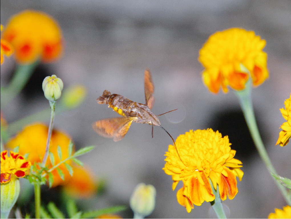
Hawk Moth (Macroglossum pyrrhosticta)

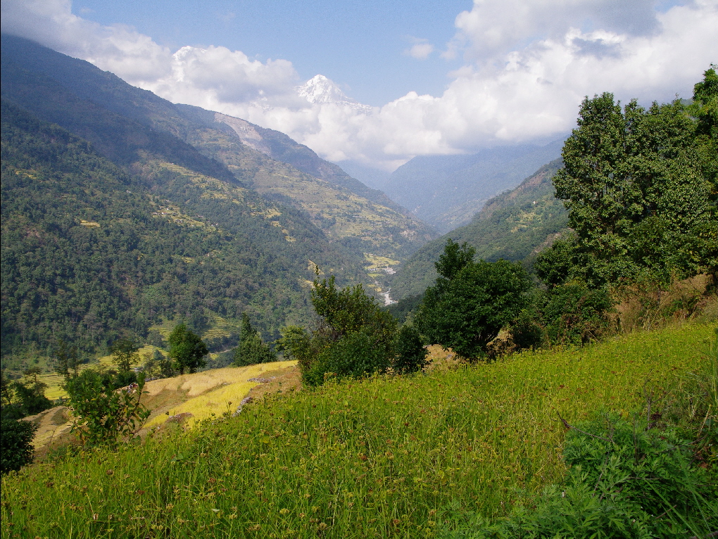
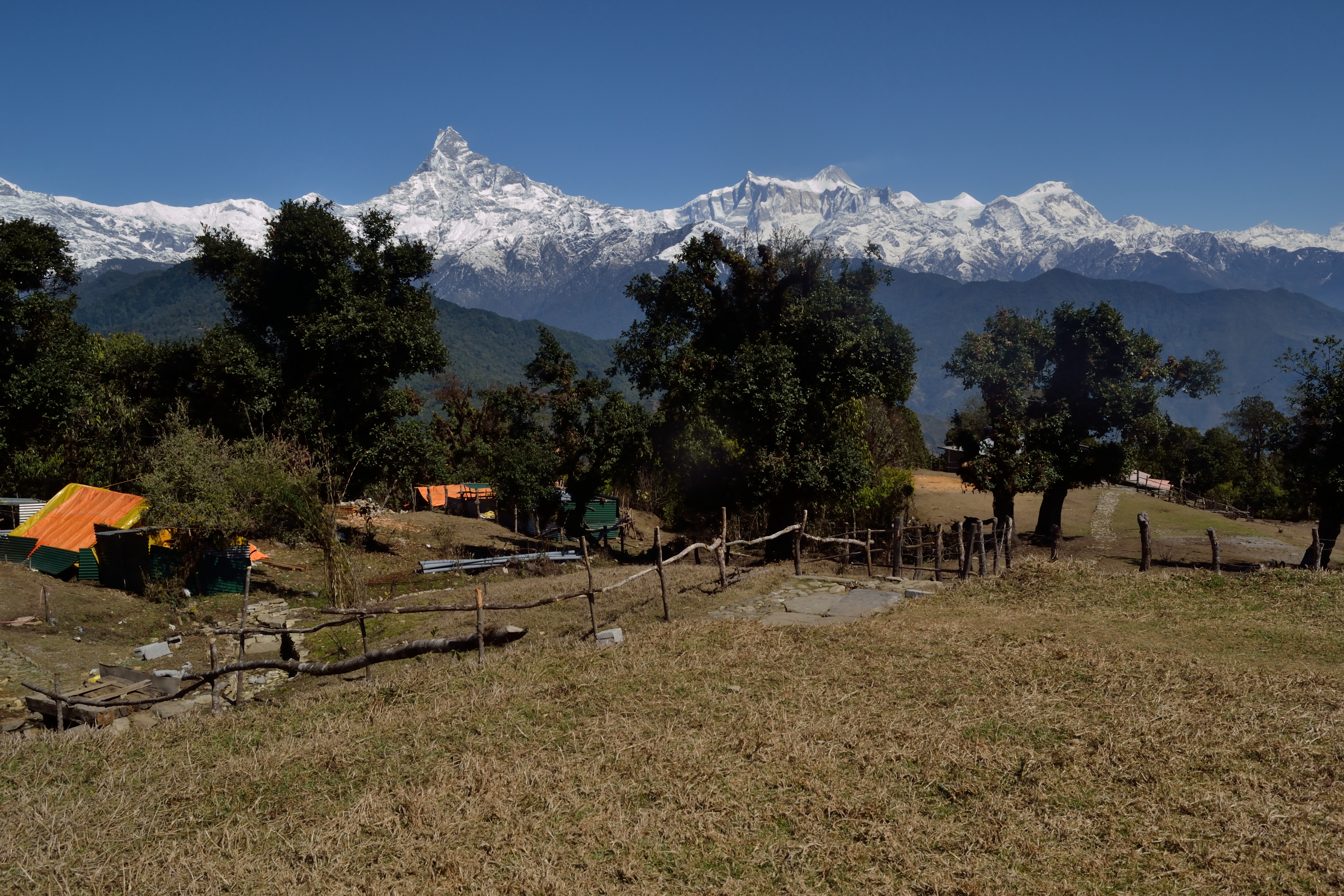
The Himalayan Trail

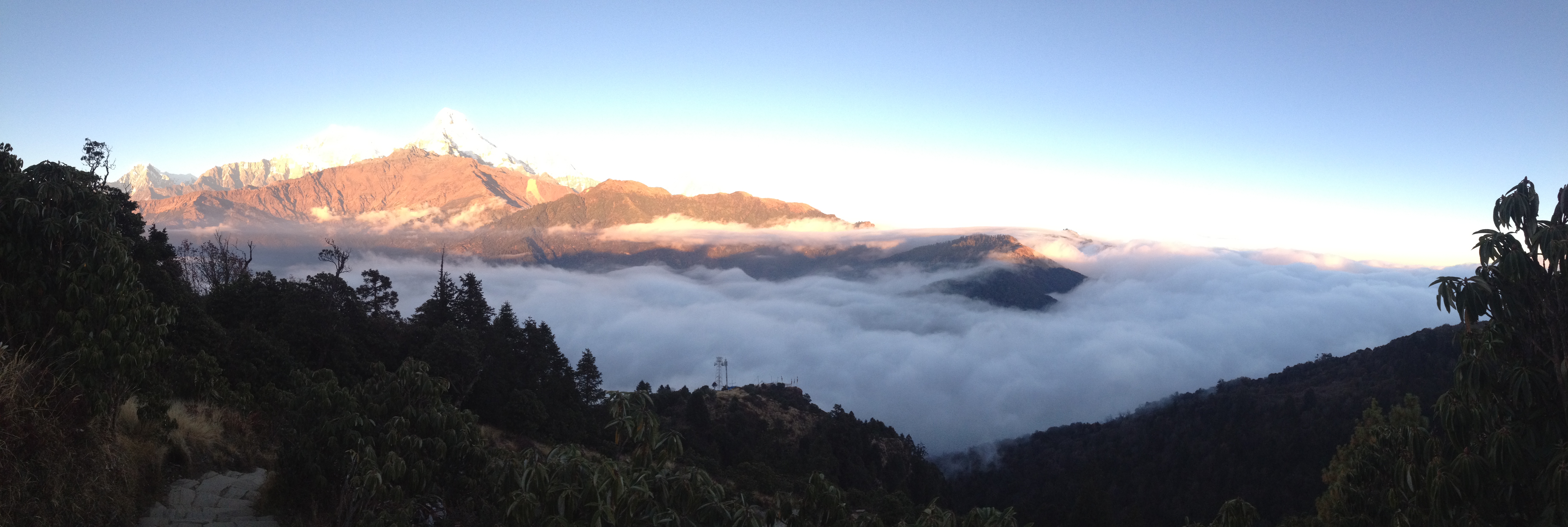
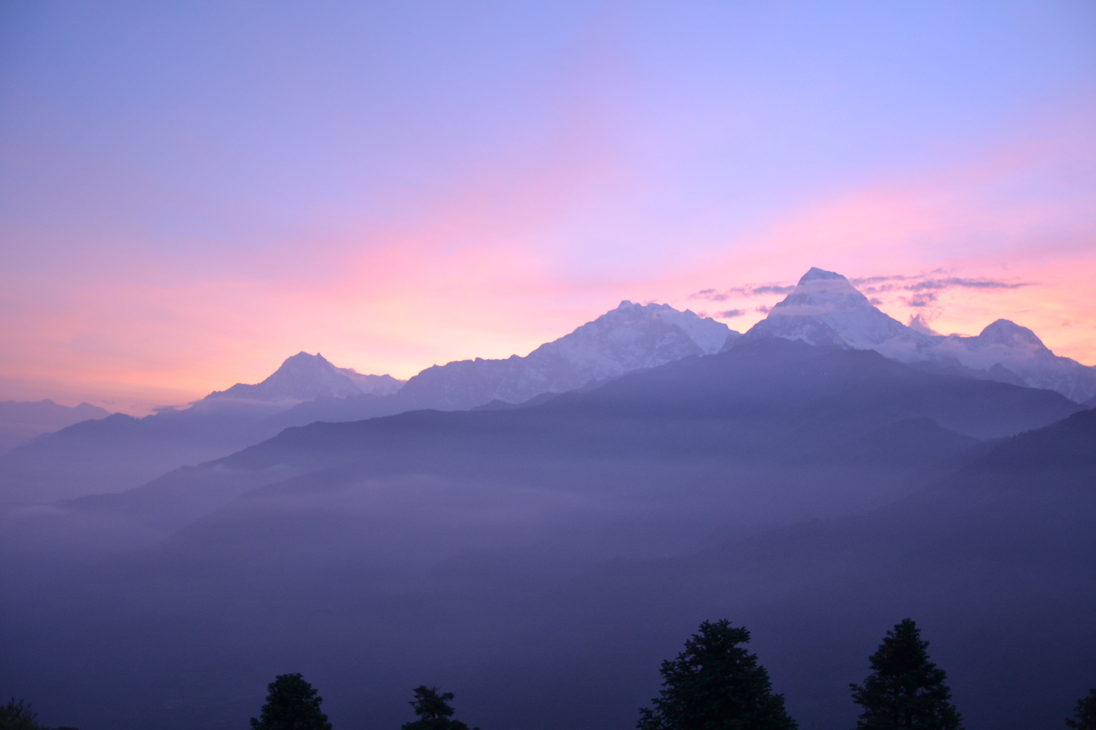
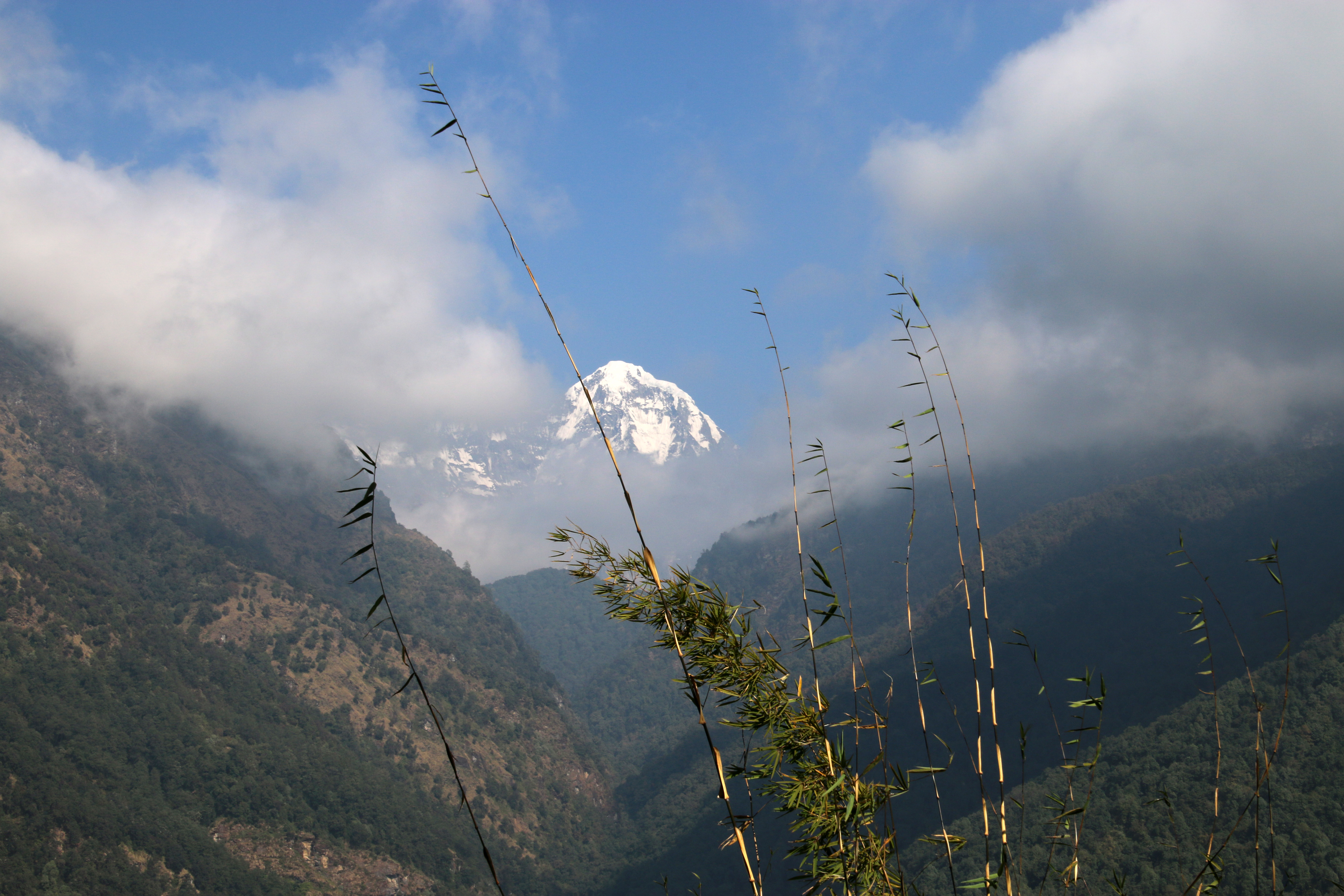
Annapurna sunrise
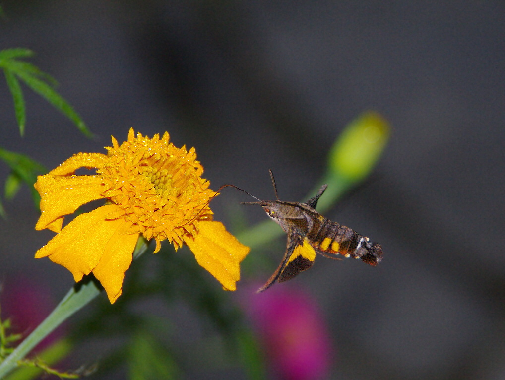
Hawk Moth (Macroglossum pyrrhosticta)
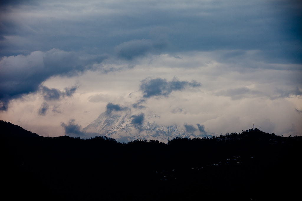
The Himalayan Trail

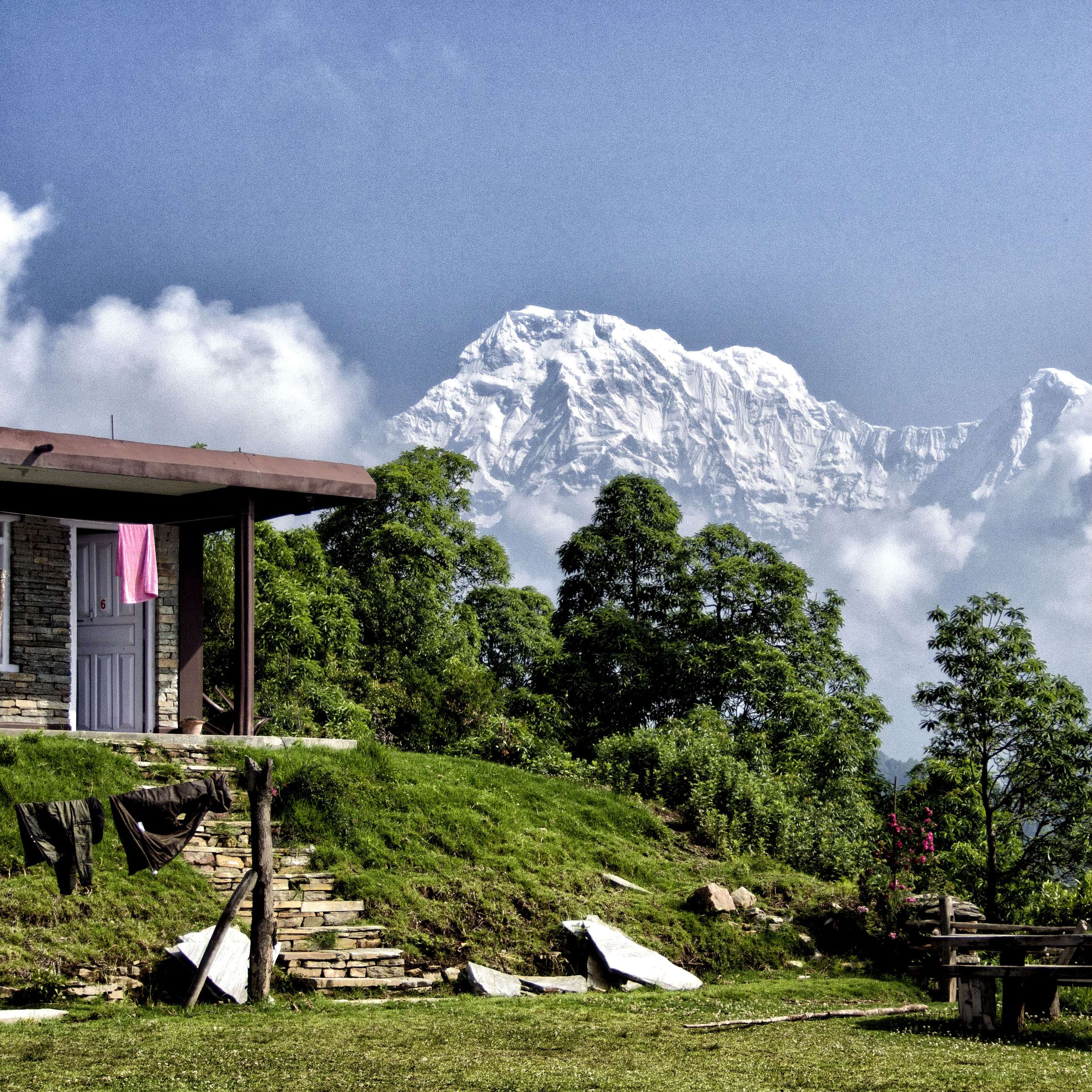
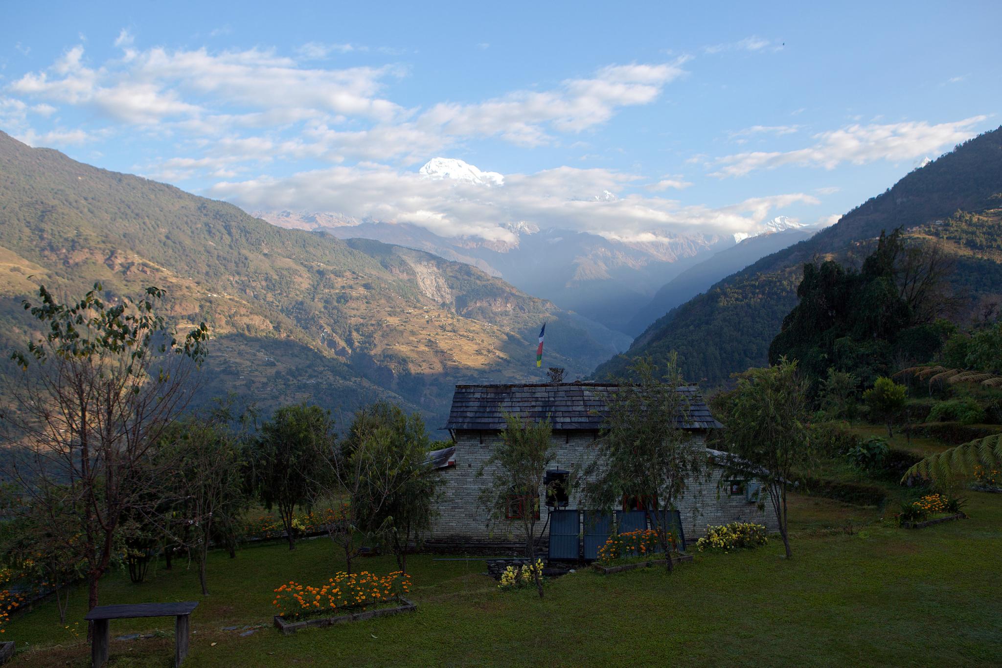
View from guest house in Ulleri, Nepal, on Annapurna Base Camp trek

View from guest house in Ulleri, Nepal, on Annapurna Base Camp trek
poonhill view

View from guest house in Ulleri, Nepal, on Annapurna Base Camp trek

View from guest house in Ulleri, Nepal, on Annapurna Base Camp trek

View from guest house in Ulleri, Nepal, on Annapurna Base Camp trek
Nepal & Tibet 168

View from guest house in Ulleri, Nepal, on Annapurna Base Camp trek

View from guest house in Ulleri, Nepal, on Annapurna Base Camp trek

Last view of the trek from Naya Pul before getting into taxi and heading for Pokhara
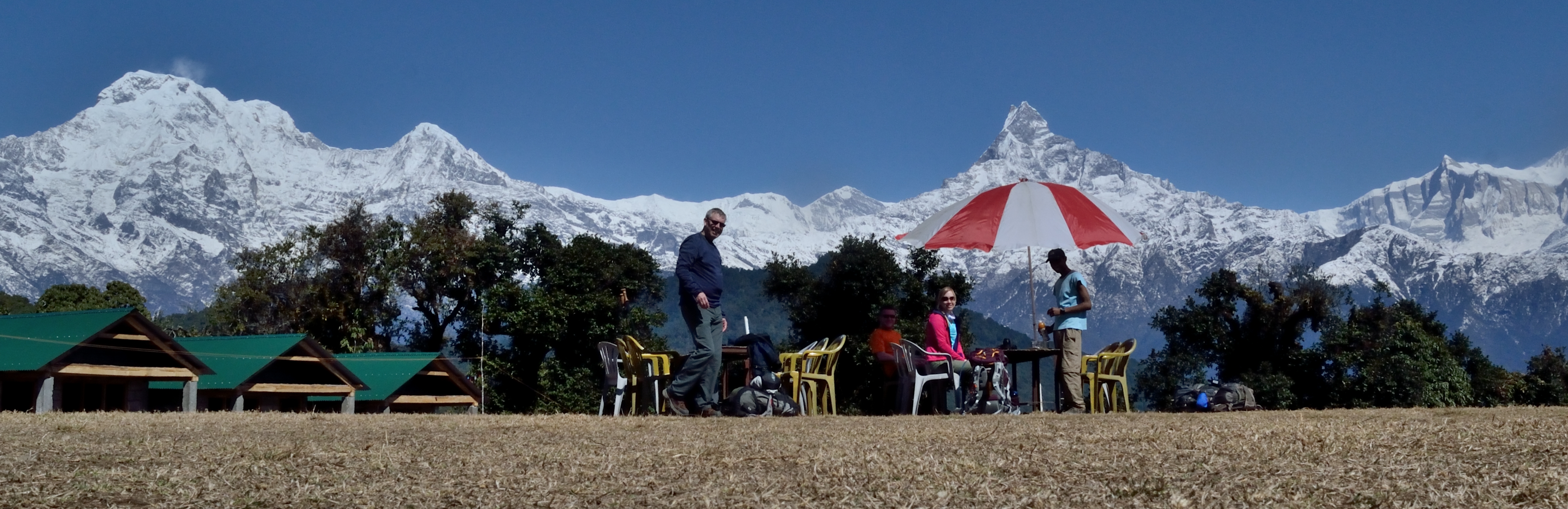
The group at Australian Camp

Nepal & Tibet 189
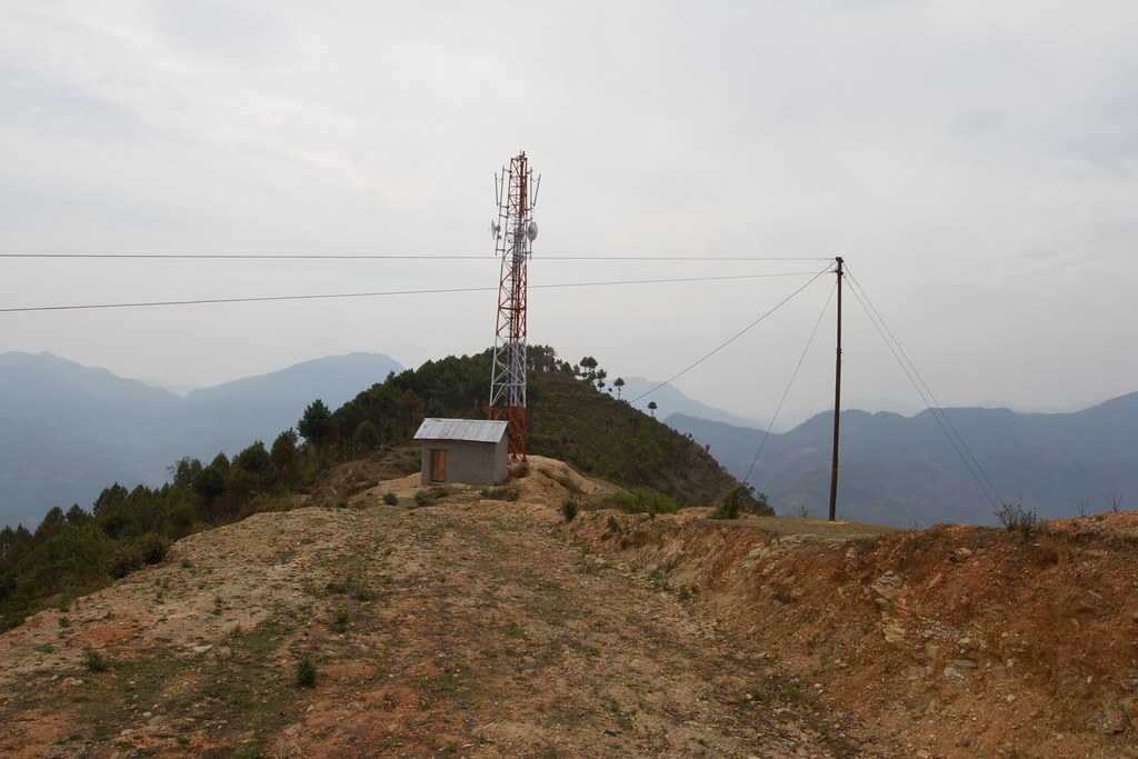
The Himalayan Trail
The Himalayan Trail
A portion of the view from Australian Camp
Nepal & Tibet 135
Poon Hill
Himalayas from Australian Camp
_CL05073.jpg
MJ1_7681.jpg
_CL05066.jpg
_CL05065.jpg
_CL05110.jpg
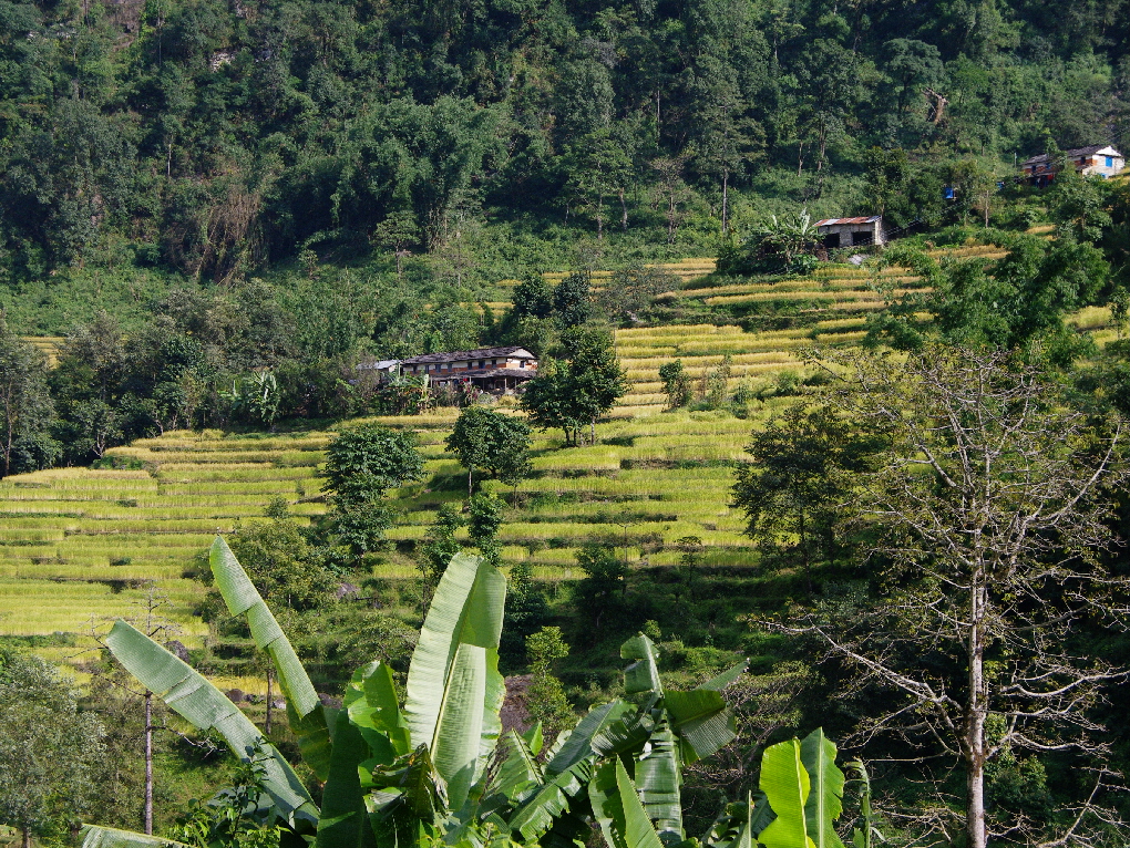
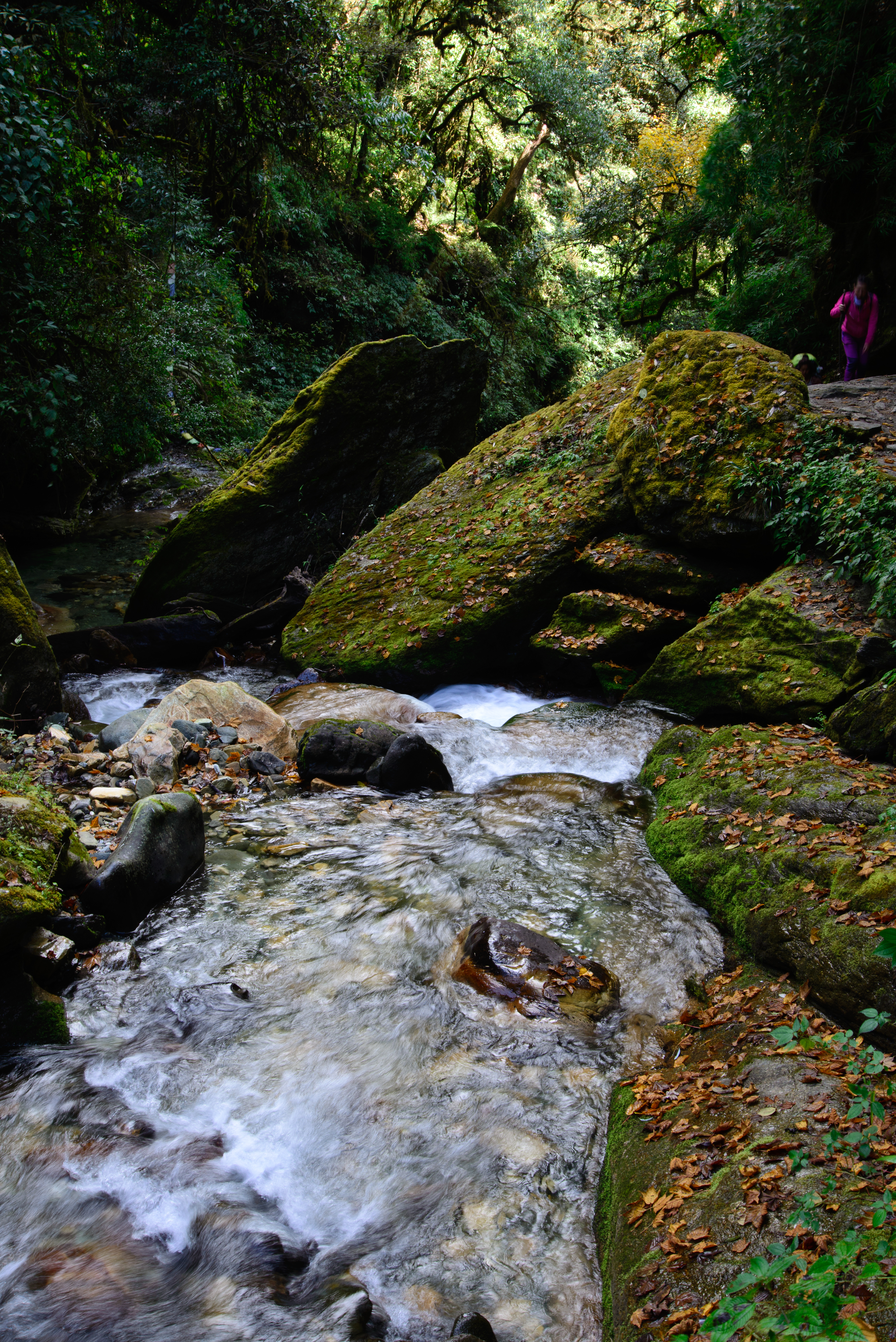
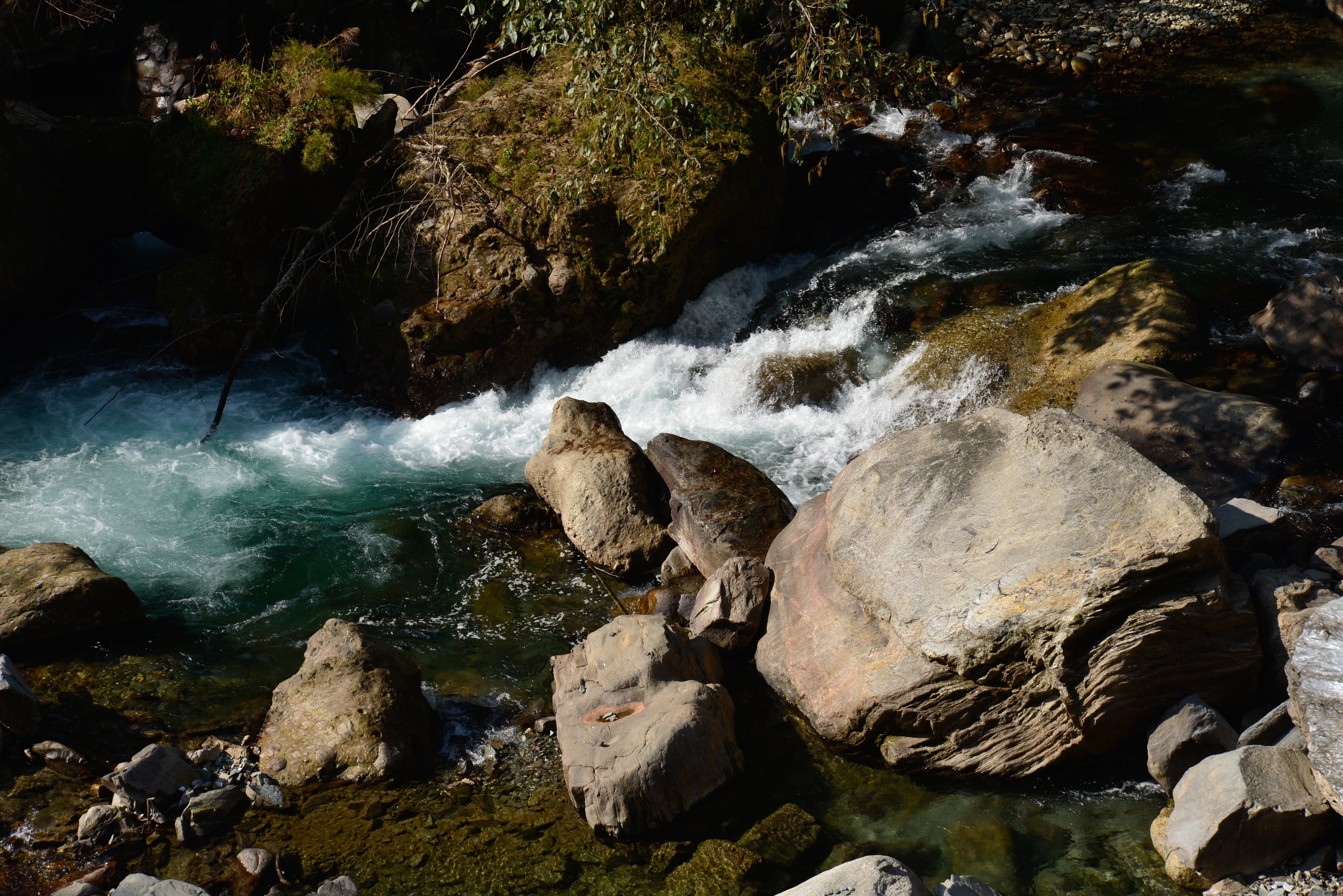
Vallée Modi Khola
_CL05072.jpg
MJ1_7682.jpg
_CL05064.jpg

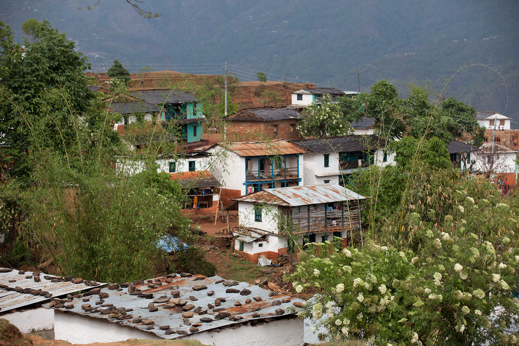
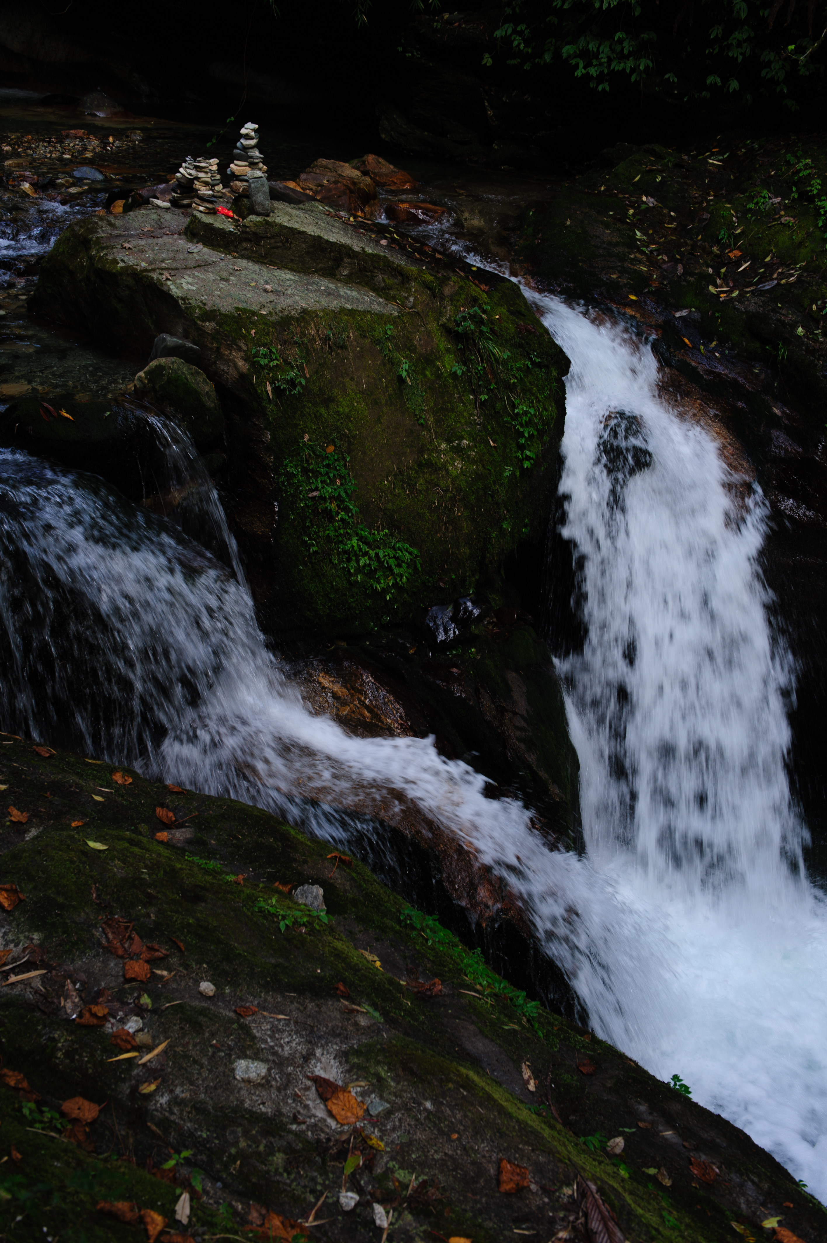
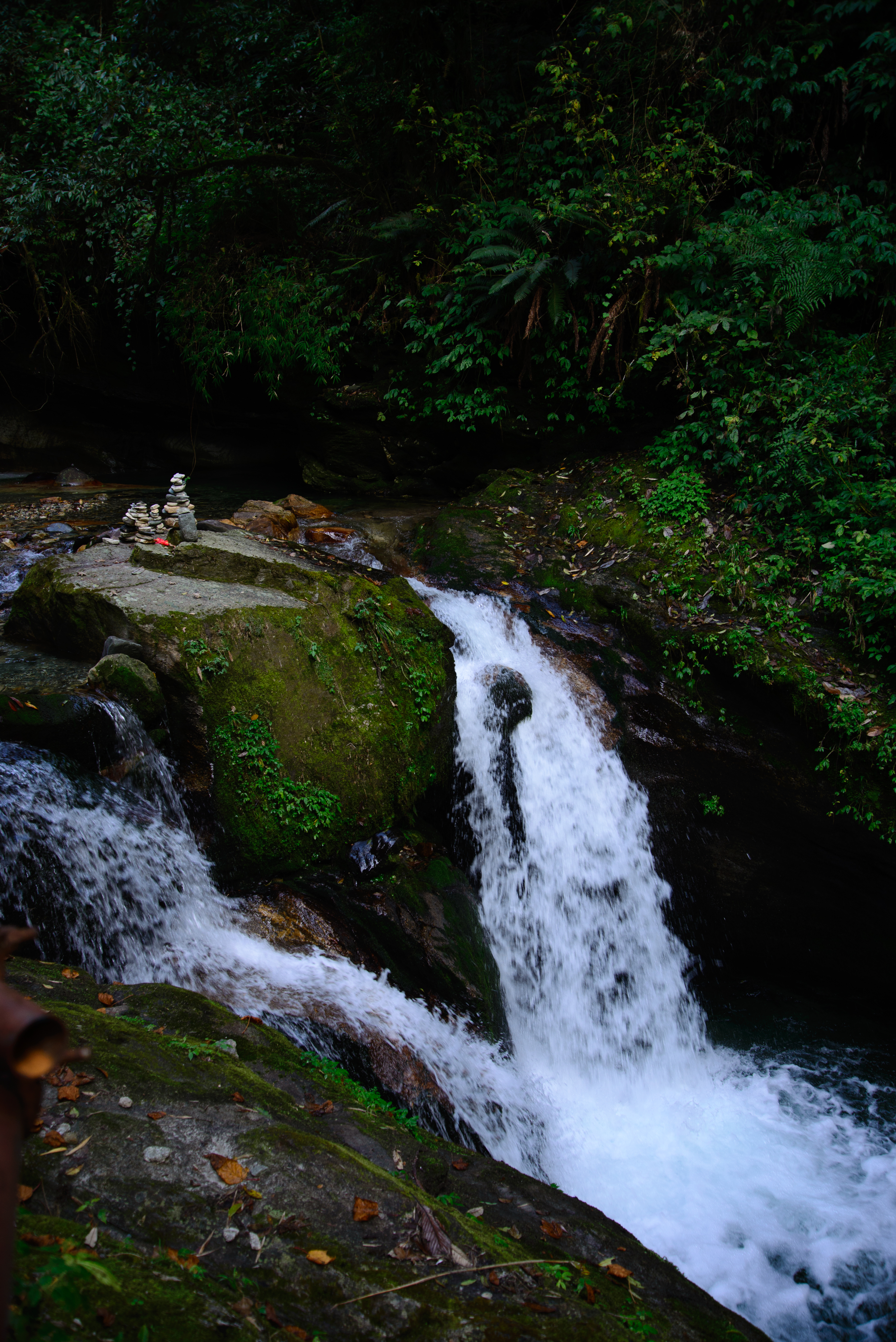
Shrines and mountains, mountains and shrines. (December 3, 2013) (near Little Paradise) #nepal #mountains #shrine

Nepal-9578
MJ1_7685.jpg

_CL04449.jpg
_CL05063.jpg
_CL05071.jpg
Nepal 2010
_CL05138.jpg
MJ1_7295.jpg
The mountain dreams
Topographic Map of Kushma, Nepal
Find elevation by address:

Places in Kushma, Nepal:
Places near Kushma, Nepal:
Shivalaya
Narayan Ma Vi Galli
Parbat
Deupur
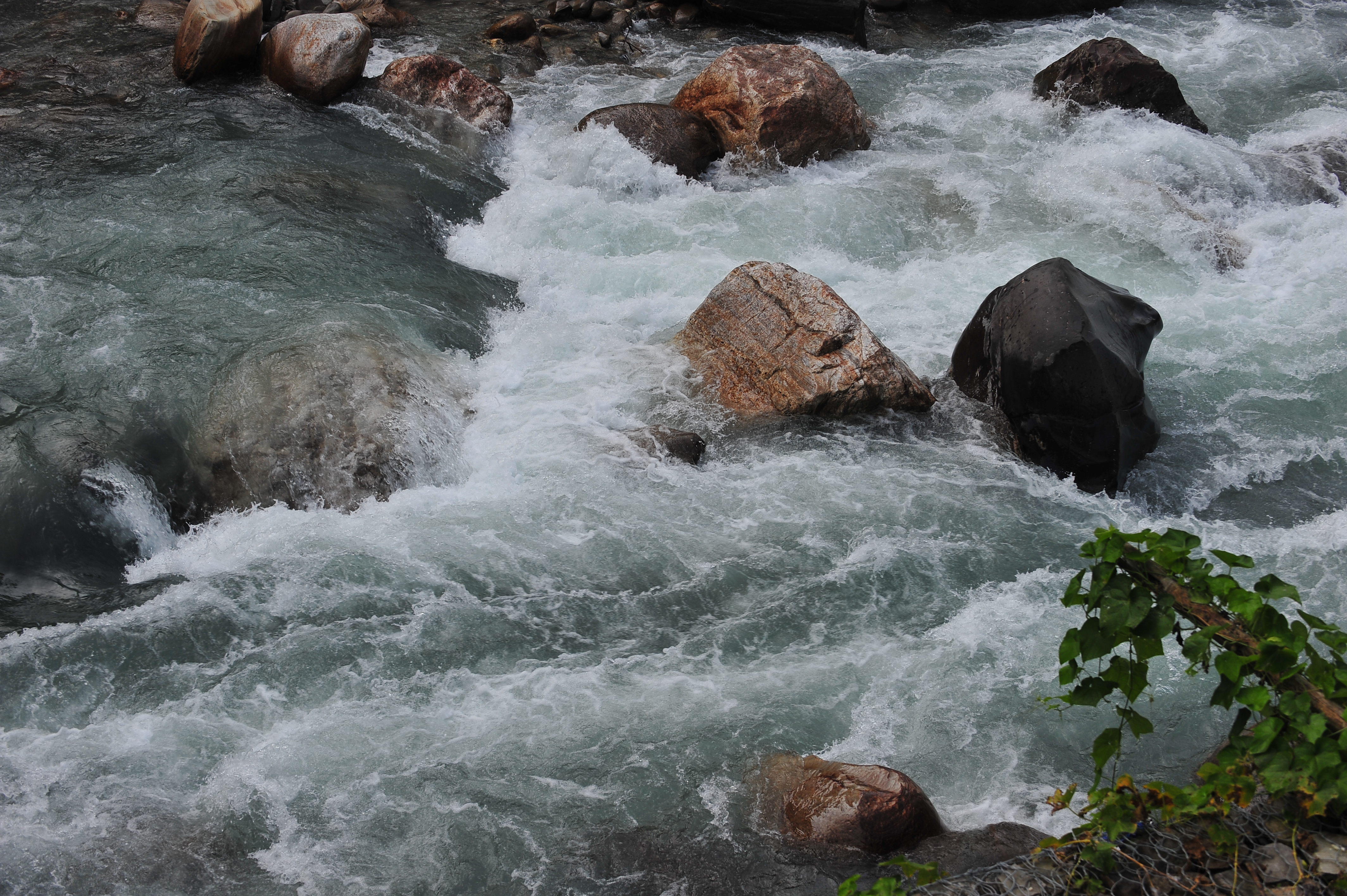
Modi Khola Hydro Power Dam
Nayapul Trekking Starting Point
Nayapul Starting
Salyan
Kande Baraha Than काँडे बराह थान
Bhadaure Tamagi
Hotel Panorama Dhampus
Annapurna Rural Municipality Office अन्नपूर्ण गाउँपालिका,कास्की
Phedi
Himalayan Deurali Resort
Naudanda
Ulleri
Ulleri
Pumdi Bhumdi
Mystique Highland Resort
Astam
Recent Searches:
- Elevation of Corso Fratelli Cairoli, 35, Macerata MC, Italy
- Elevation of Tallevast Rd, Sarasota, FL, USA
- Elevation of 4th St E, Sonoma, CA, USA
- Elevation of Black Hollow Rd, Pennsdale, PA, USA
- Elevation of Oakland Ave, Williamsport, PA, USA
- Elevation of Pedrógão Grande, Portugal
- Elevation of Klee Dr, Martinsburg, WV, USA
- Elevation of Via Roma, Pieranica CR, Italy
- Elevation of Tavkvetili Mountain, Georgia
- Elevation of Hartfords Bluff Cir, Mt Pleasant, SC, USA