Elevation of Pangani, Tanzania
Location: Tanzania > Tanga Region > Pangani >
Longitude: 38.975937
Latitude: -5.4253802
Elevation: 7m / 23feet
Barometric Pressure: 101KPa
Elevation Map:
Satellite Map:
Related Photos:

The Baobab Bar with view on the mangroves and Indian Ocean (to the left here)

room with a view
Sonnenuntergang: 9/10

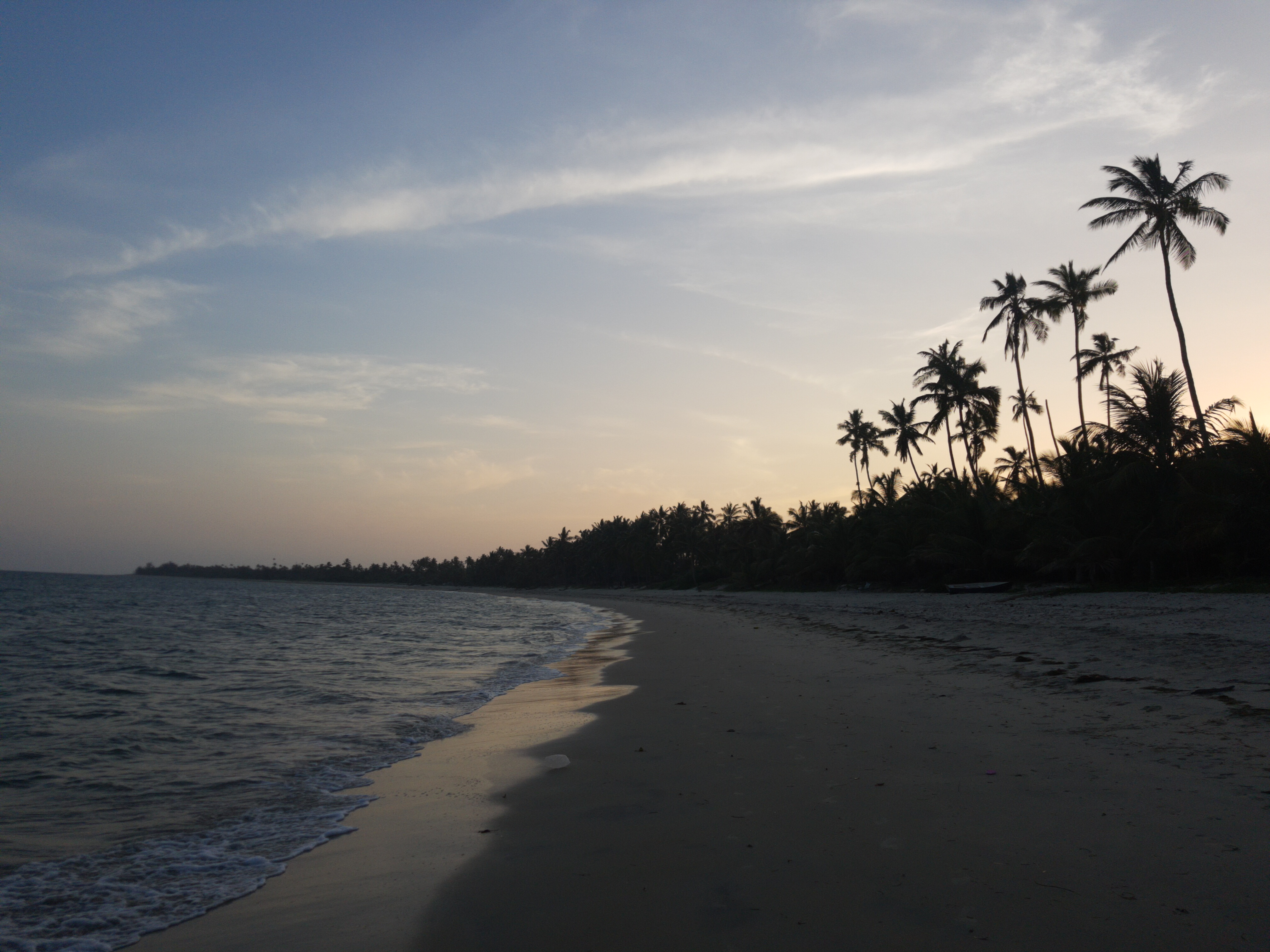
Mangroves on the Tanzanian coast

Pangani Mangroves

Rain clouds gather

Heading out

Pangani Mangroves

Pangani Mangroves
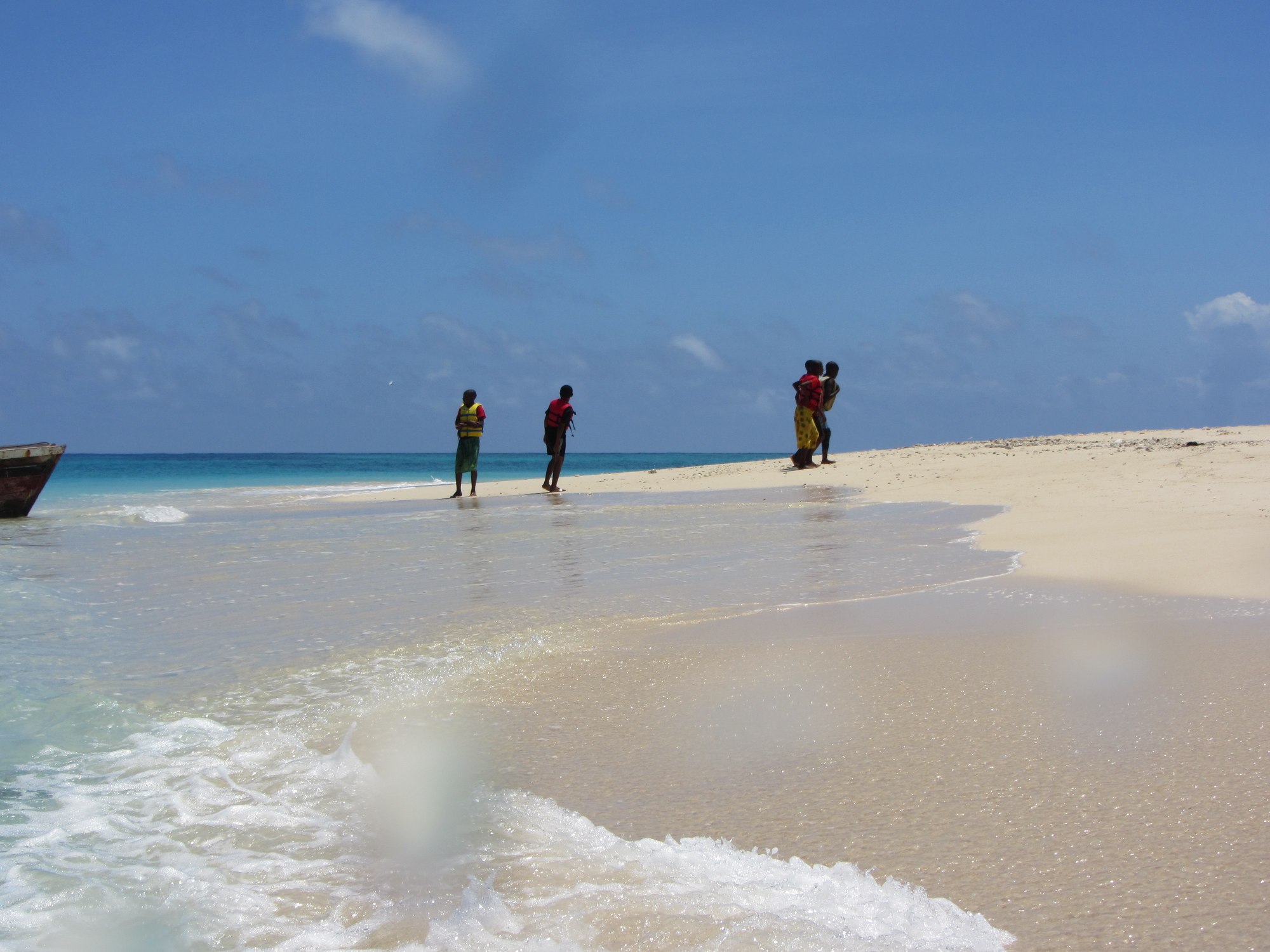
Arrival on Maziwe
Topographic Map of Pangani, Tanzania
Find elevation by address:

Places near Pangani, Tanzania:
Pangani
Lusanga
Muheza
Muheza
Tanga
Tanga
Amani
Korogwe Urban
Korogwe Bus Stand
Korogwe
Mkinga
Tanga Region
Kwasunga
Bumbuli
Makuyuni
Mgwashi
Maweni Farm Hotel & Camping
Usambara Mountains
Korogwe
Lushoto
Recent Searches:
- Elevation of S Layton Cir W, Layton, UT, USA
- Elevation of F36W+3M, Mussoorie, Uttarakhand, India
- Elevation of Fairland Ave, Fairhope, AL, USA
- Elevation of Sunset Dr, Richmond, VA, USA
- Elevation of Grodna District, Hrodna Region, Belarus
- Elevation of Hrodna, Hrodna Region, Belarus
- Elevation of Sandia Derby Estates, Tijeras, NM, USA
- Elevation of 23 Sunrise View Ct, Tijeras, NM, USA
- Elevation of Lytham Ln, Katy, TX, USA
- Elevation of Tater Hill, Oklahoma, USA