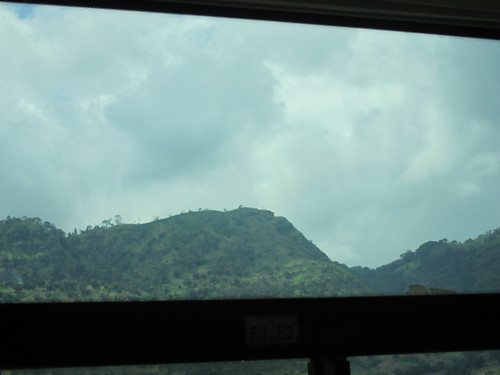
Elevation of Makuyuni, Tanzania
Location: Tanzania > Tanga Region > Korogwe >
Longitude: 38.3288586
Latitude: -5.0166624
Elevation: 402m / 1319feet
Barometric Pressure: 97KPa
Related Photos:
Topographic Map of Makuyuni, Tanzania
Find elevation by address:

Places near Makuyuni, Tanzania:
Kwasunga
Korogwe
Maweni Farm Hotel & Camping
Korogwe
Korogwe Bus Stand
Bumbuli
Korogwe Urban
Lushoto
Irente Viewpoint
Tanga Region
Mgwashi
Amani
Usambara Mountains
Makuyuni
Malindi
Muheza
Lushoto
Bwiko
Muheza
Sunga
Recent Searches:
- Elevation of Tenjo, Cundinamarca, Colombia
- Elevation of Côte-des-Neiges, Montreal, QC H4A 3J6, Canada
- Elevation of Bobcat Dr, Helena, MT, USA
- Elevation of Zu den Ihlowbergen, Althüttendorf, Germany
- Elevation of Badaber, Peshawar, Khyber Pakhtunkhwa, Pakistan
- Elevation of SE Heron Loop, Lincoln City, OR, USA
- Elevation of Slanický ostrov, 01 Námestovo, Slovakia
- Elevation of Spaceport America, Co Rd A, Truth or Consequences, NM, USA
- Elevation of Warwick, RI, USA
- Elevation of Fern Rd, Whitmore, CA, USA


