Elevation of Panabo City Hall, Barangay JP Laurel, Pan-Philippine Hwy, Panabo, Davao del Norte, Philippines
Location: Philippines > Davao Region > Davao Del Norte > J.p. Laurel >
Longitude: 125.671985
Latitude: 7.2835874
Elevation: 11m / 36feet
Barometric Pressure: 101KPa
Elevation Map:
Satellite Map:
Related Photos:

great view

Cloudy Sky

Wired Posts

white sandy shore

Manama. Hhhmmmmmm!
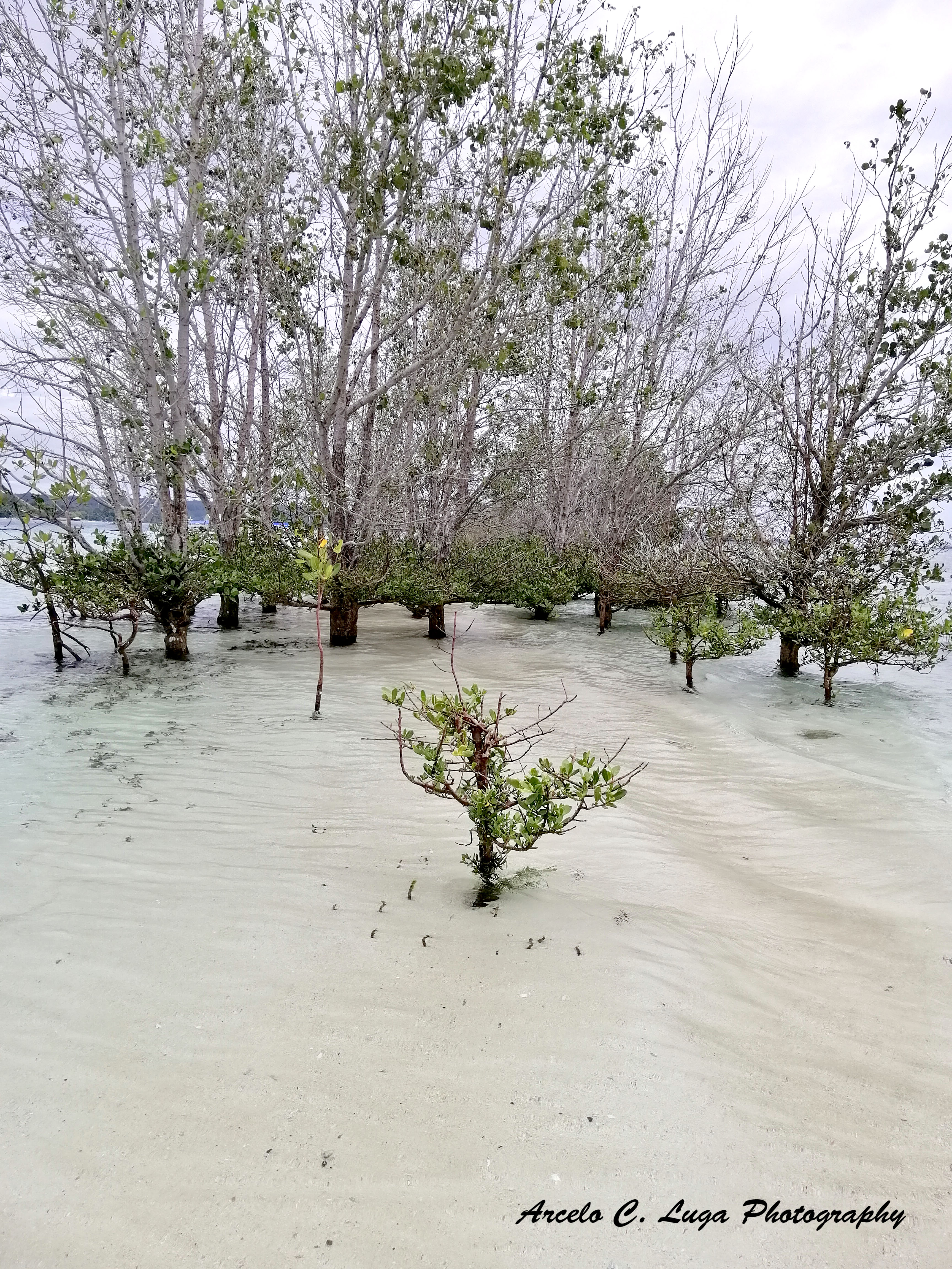
Vanishing Island

Vanishing Island

Drawing session with her

Monfort Bat Cave

Monfort Bat Cave

Monfort Bat Cave

Monfort Bat Cave

Monfort Bat Cave
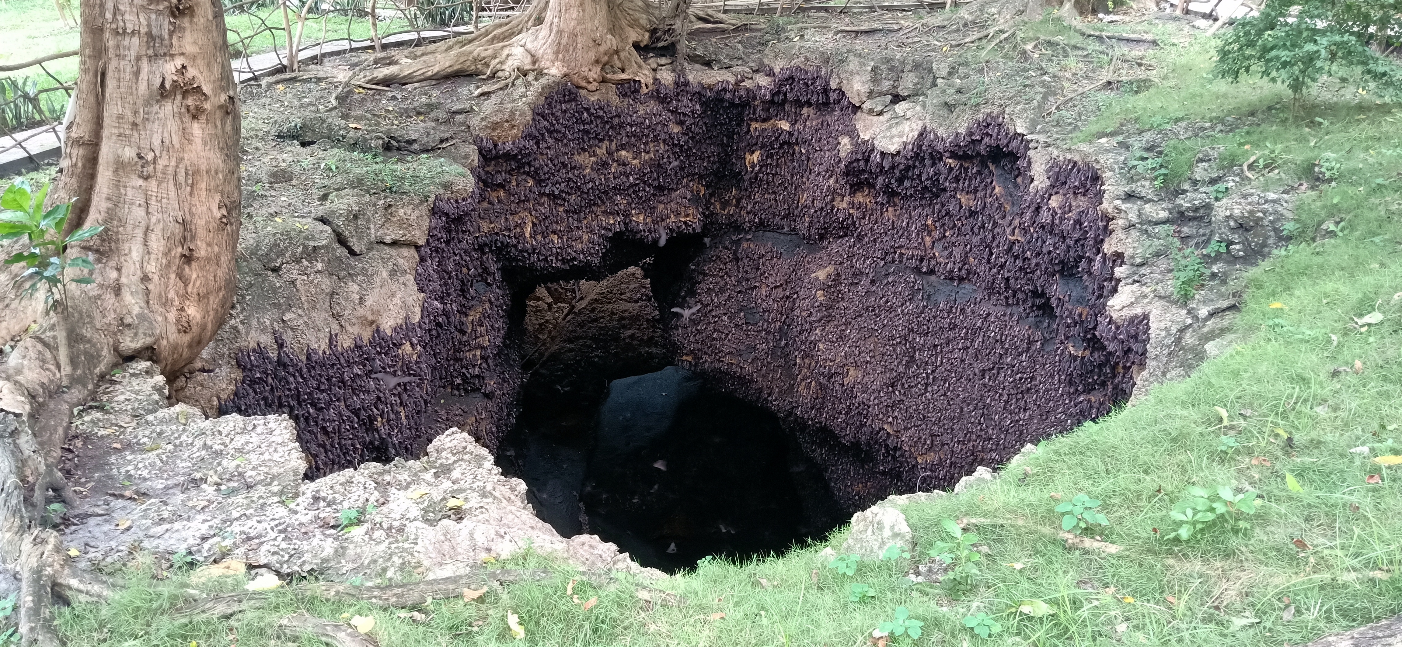
Monfort Bat Cave

Monfort Bat Cave

Monfort Bat Cave
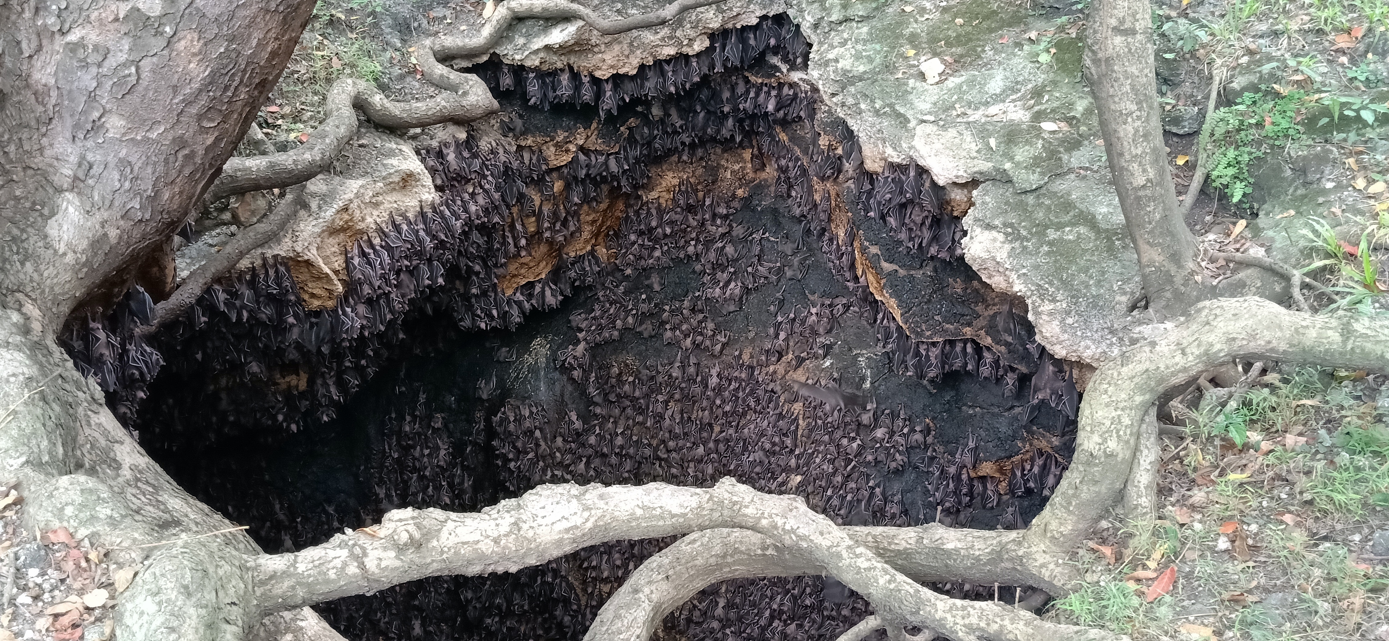
Monfort Bat Cave

Monfort Bat Cave Guinness Record

Waiting to tug

Beautiful Day

Waiting for the loads

Lovely Day

Breaking of dawn

Blue Sky

Rise and shine

Sunny day
Topographic Map of Panabo City Hall, Barangay JP Laurel, Pan-Philippine Hwy, Panabo, Davao del Norte, Philippines
Find elevation by address:

Places near Panabo City Hall, Barangay JP Laurel, Pan-Philippine Hwy, Panabo, Davao del Norte, Philippines:
J.p. Laurel
Panabo
Bunawan
Daang Maharlika Highway
Daang Maharlika Highway
Carmen
Bottled King Enterprises
Ilihan Beach Resort
Busaon
Secdea Beach Resort
San Isidro (babak)
Luzville Subdivision
Callawa
Indangan
Indangan Brgy Hall
Empress Subdivision
Callawa - Mandug Road
Camella Davao Subdivision
Teofilo V. Fernandez Elementary School
Buhangin
Recent Searches:
- Elevation of 24 Oakland Rd #, Scotland, ON N0E 1R0, Canada
- Elevation of Deep Gap Farm Rd E, Mill Spring, NC, USA
- Elevation of Dog Leg Dr, Minden, NV, USA
- Elevation of Dog Leg Dr, Minden, NV, USA
- Elevation of Kambingan Sa Pansol Atbp., Purok 7 Pansol, Candaba, Pampanga, Philippines
- Elevation of Pinewood Dr, New Bern, NC, USA
- Elevation of Mountain View, CA, USA
- Elevation of Foligno, Province of Perugia, Italy
- Elevation of Blauwestad, Netherlands
- Elevation of Bella Terra Blvd, Estero, FL, USA