Elevation of Palmer Lake, Washington, USA
Location: United States > Washington > Loomis >
Longitude: -119.62586
Latitude: 48.902208
Elevation: 350m / 1148feet
Barometric Pressure: 97KPa
Elevation Map:
Satellite Map:
Related Photos:
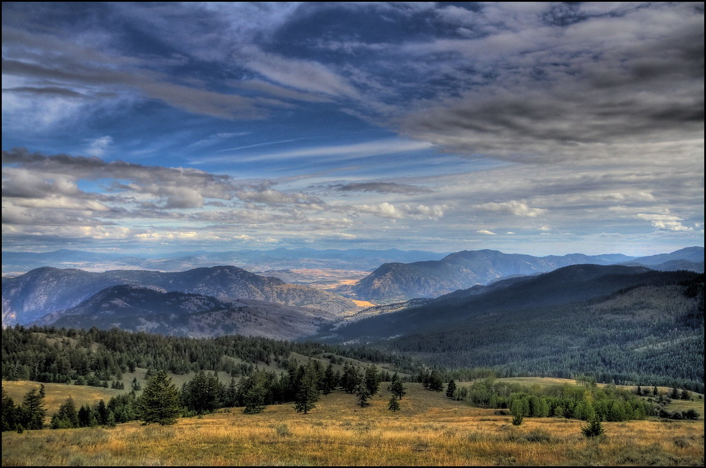
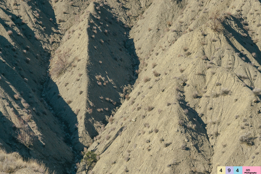
View From Camp on Chopaka Mountain
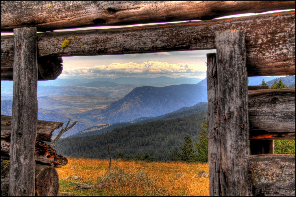
Log Cabin View
Side view
View from my lunchspot today...
View from my lunchspot today...
View from my lunchspot today...
View from my lunchspot today...
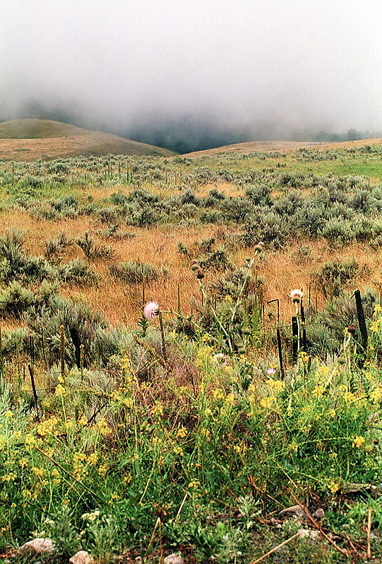
South Okanagan grassland
Pano Loop
Into the Similkameen
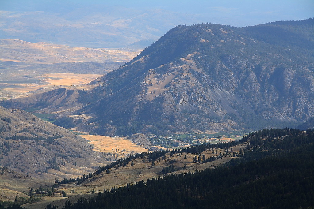
View east over the Sinlahekin and Okanogan River Valleys from the Loomis State Forest
View from the Cabin

As the Sun poked her finger through the clouds...
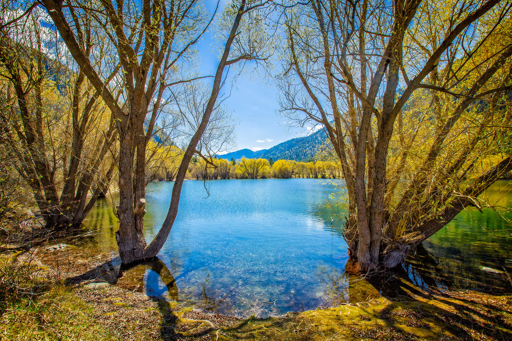
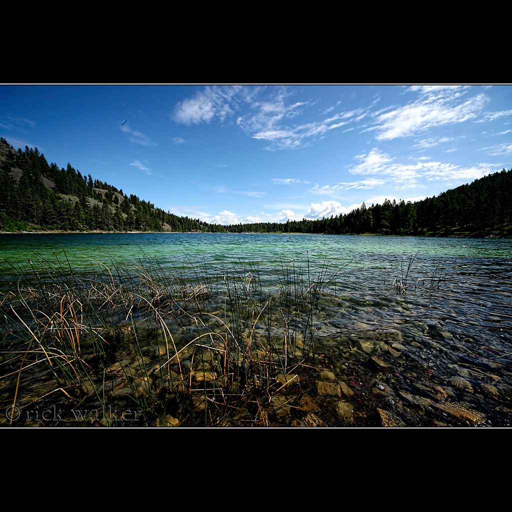
Palmer Lake
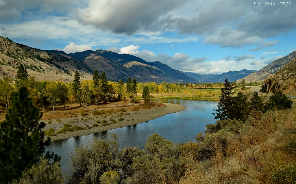
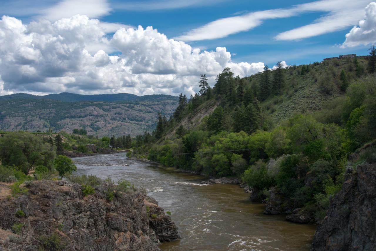
Similkameen River

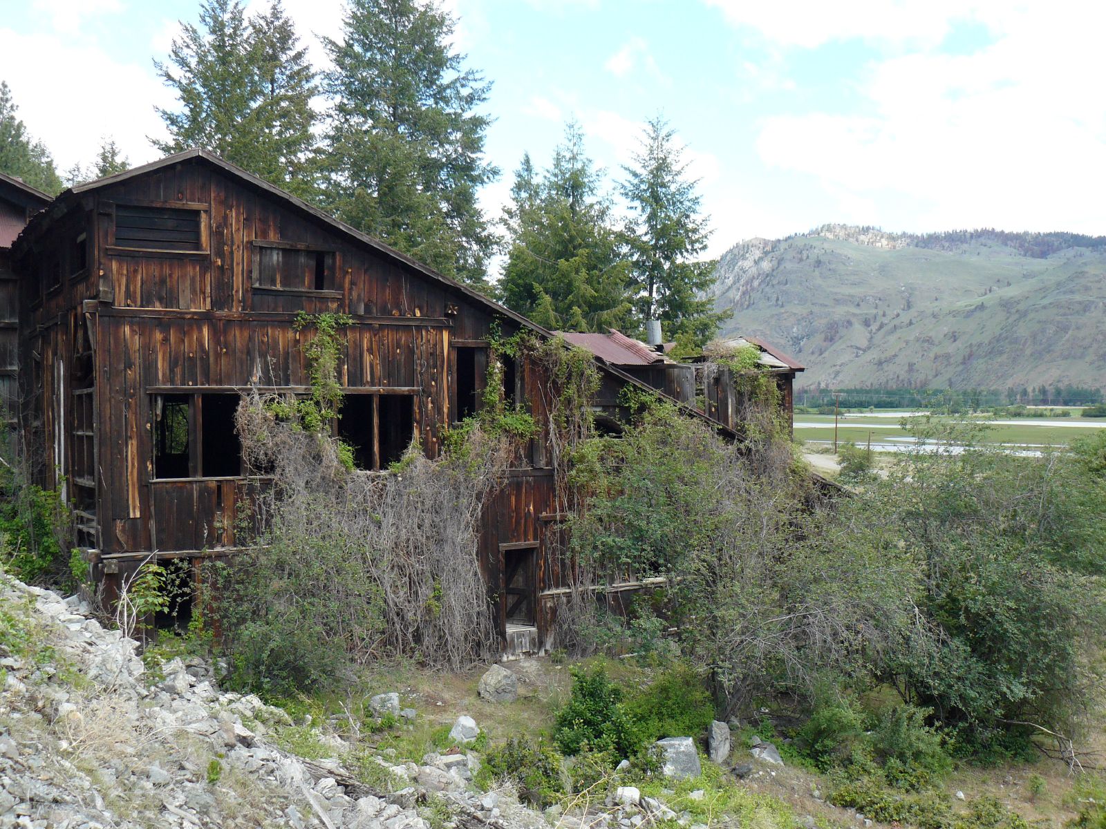
Ruby Mine
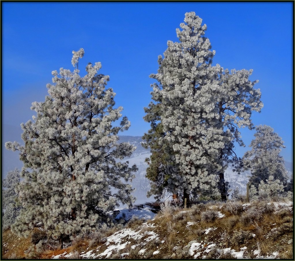
Frosty Pines

Hidden Harmonic Intentions
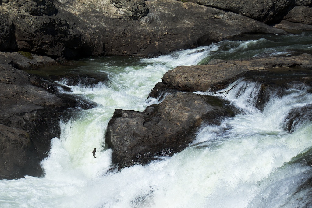
salmon at Enloe Dam

Osoyoos Sunset
Nature In Marco Vision
Looking Down into Loomis from Chopaka Mountain
The Similkameen River near the old dam
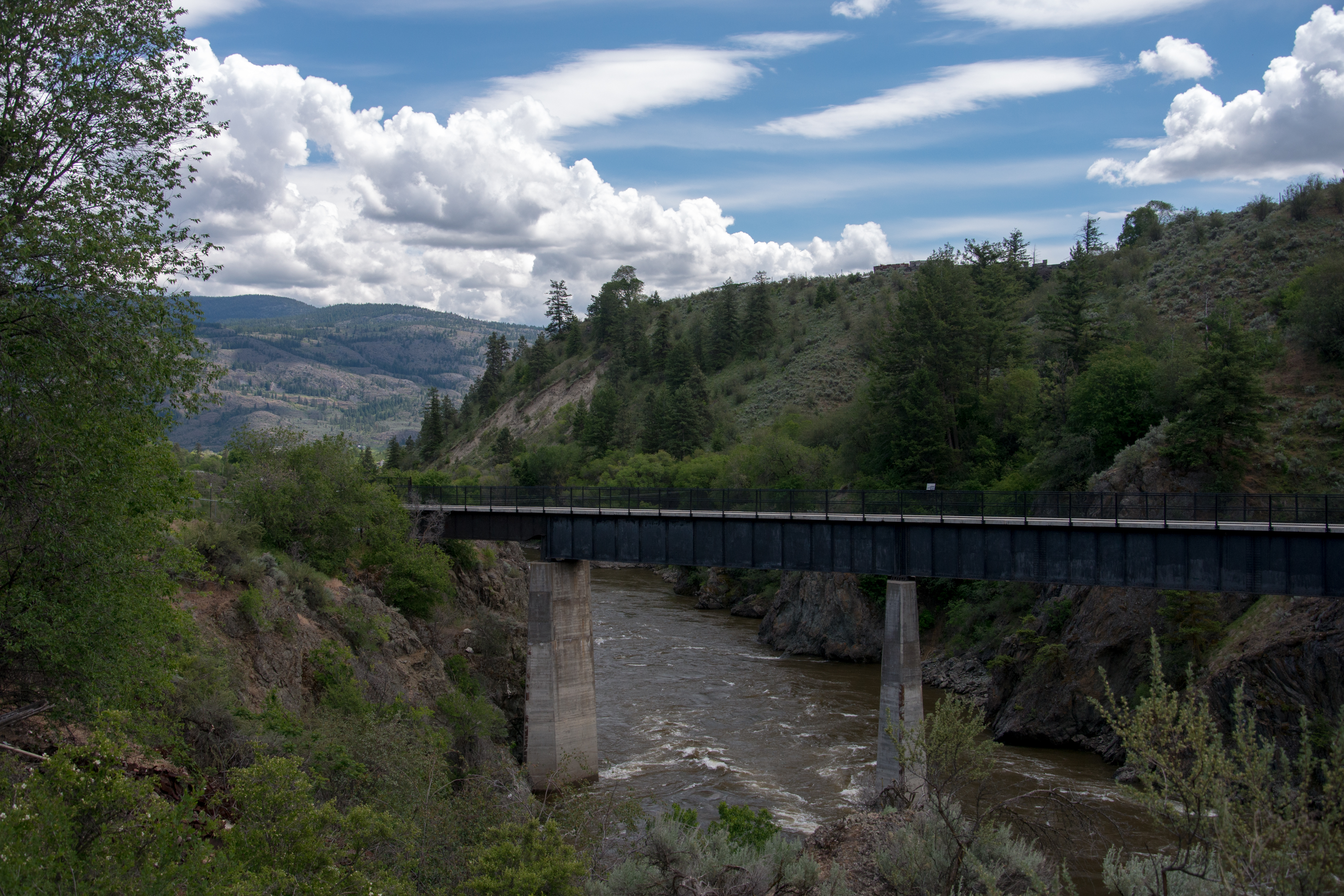
The old rail bridge over the SImilkameen River near Oroville, Washington
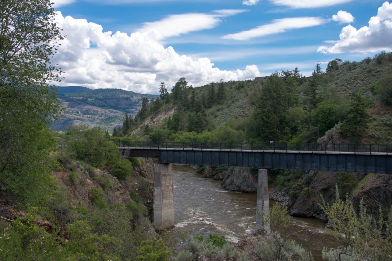
The old railroad trestle across the Similkameen River, now part of the Similkameen Trail
Kilpoola Lake
Out of the Mist
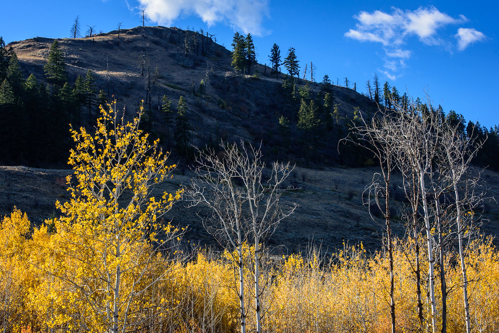
Aspens down at tha Swomp...
Topographic Map of Palmer Lake, Washington, USA
Find elevation by address:

Places near Palmer Lake, Washington, USA:
Ellemeham Mountain
Nighthawk
Loomis
23 Bighorn Dr
23 Bighorn Dr
23 Bighorn Dr
943 Ellemeham Mountain Rd
1 Kyle Ln
Hurley Peak
Chopaka Mountain
19639 Kruger Mountain Rd
Spotted Lake
North Lemanasky Road
Okanagan-similkameen B
Daisy Campground
83 Lemanasky Rd
5297 Sumac St
1549 Bc-3
Sumac Street
Oliver
Recent Searches:
- Elevation of Estates Loop, Priest River, ID, USA
- Elevation of Woodland Oak Pl, Thousand Oaks, CA, USA
- Elevation of Brownsdale Rd, Renfrew, PA, USA
- Elevation of Corcoran Ln, Suffolk, VA, USA
- Elevation of Mamala II, Sariaya, Quezon, Philippines
- Elevation of Sarangdanda, Nepal
- Elevation of 7 Waterfall Way, Tomball, TX, USA
- Elevation of SW 57th Ave, Portland, OR, USA
- Elevation of Crocker Dr, Vacaville, CA, USA
- Elevation of Pu Ngaol Community Meeting Hall, HWHM+3X7, Krong Saen Monourom, Cambodia