Elevation of 1 Kyle Ln, Tonasket, WA, USA
Location: United States > Washington > Okanogan County > Tonasket >
Longitude: -119.54118
Latitude: 48.861864
Elevation: 802m / 2631feet
Barometric Pressure: 92KPa
Elevation Map:
Satellite Map:
Related Photos:
Side view
Log Cabin View
View From Camp on Chopaka Mountain
Pano Loop
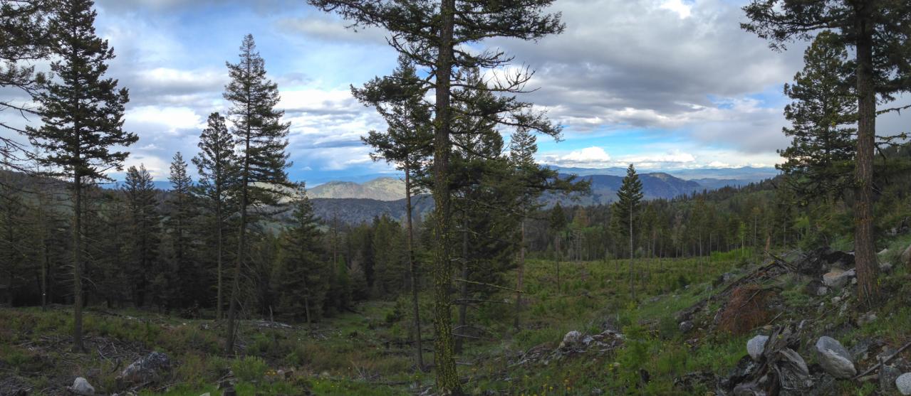
View east over the Sinlahekin and Okanogan River Valleys from the Loomis State Forest

Burger 55 Visit: A view of the kitchen
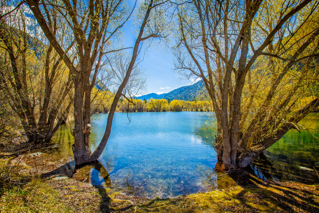
Palmer Lake
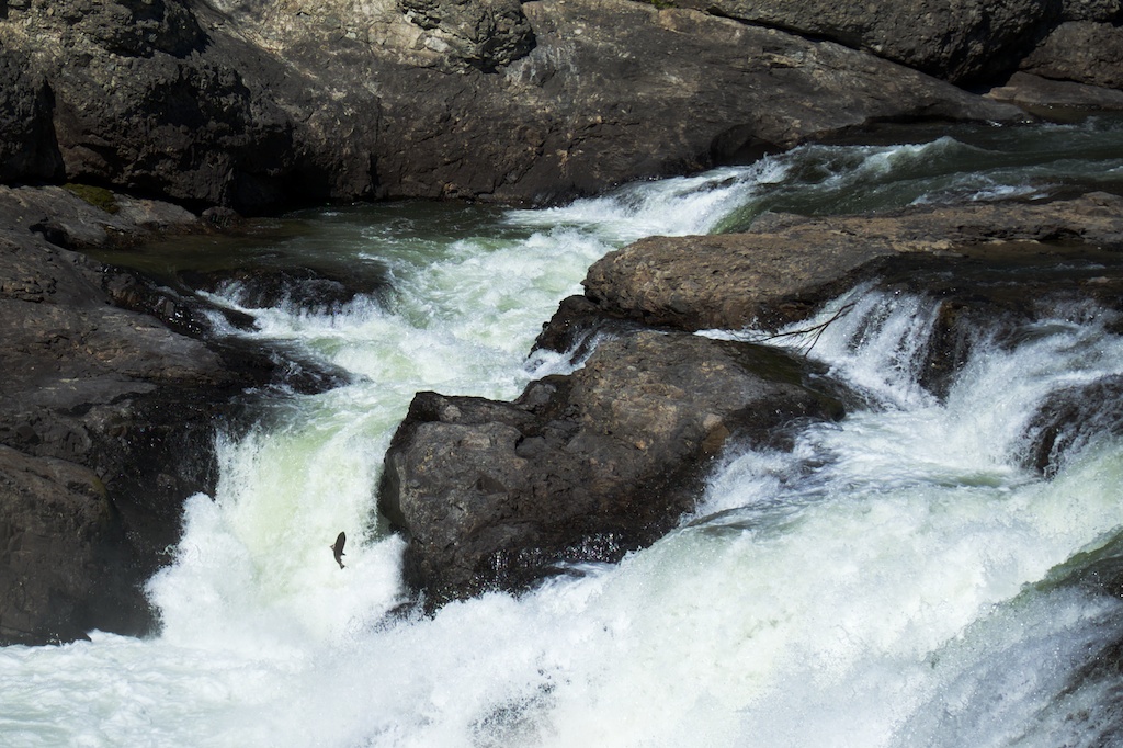
salmon at Enloe Dam
Whistler Canyon trailhead of the Pacific Northwest Trail, near Oroville, Washington

Osoyoos Sunset
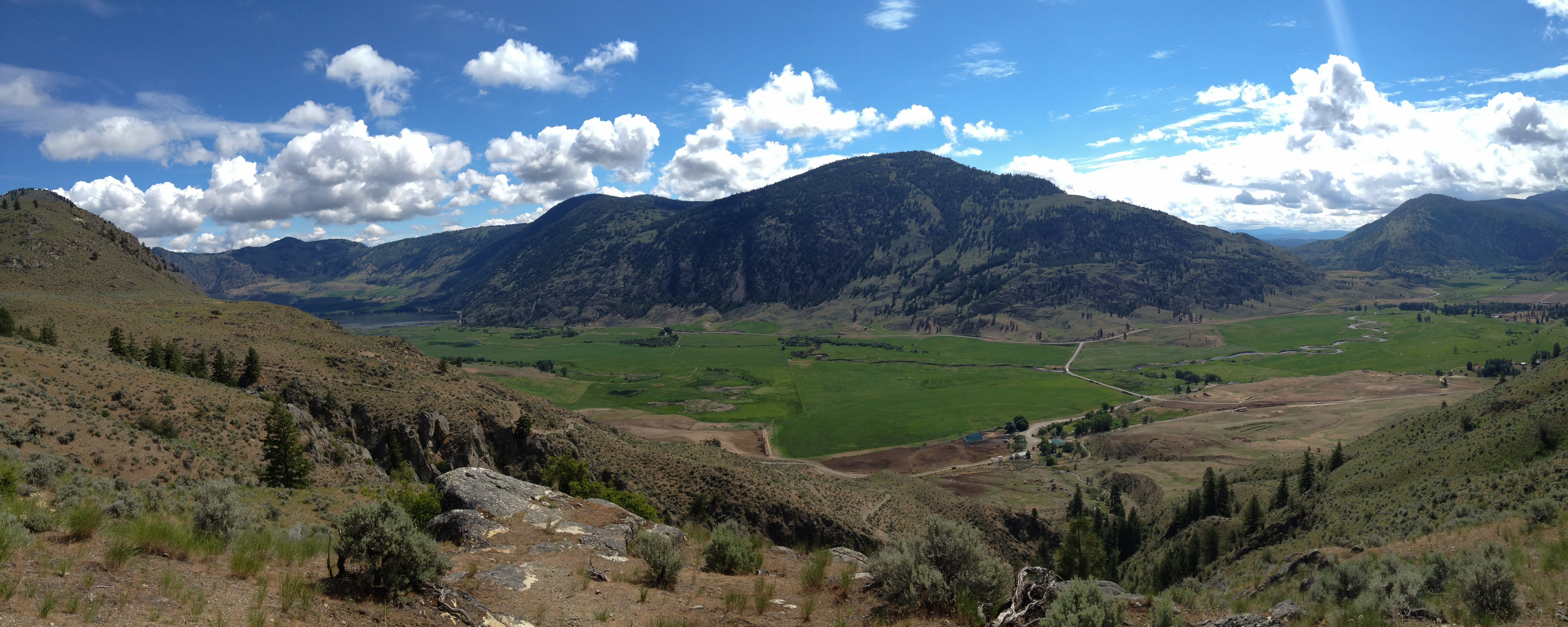
The Sinlahekin Valley from the Pacific Northwest Trail near Loomis State Forest, Washington
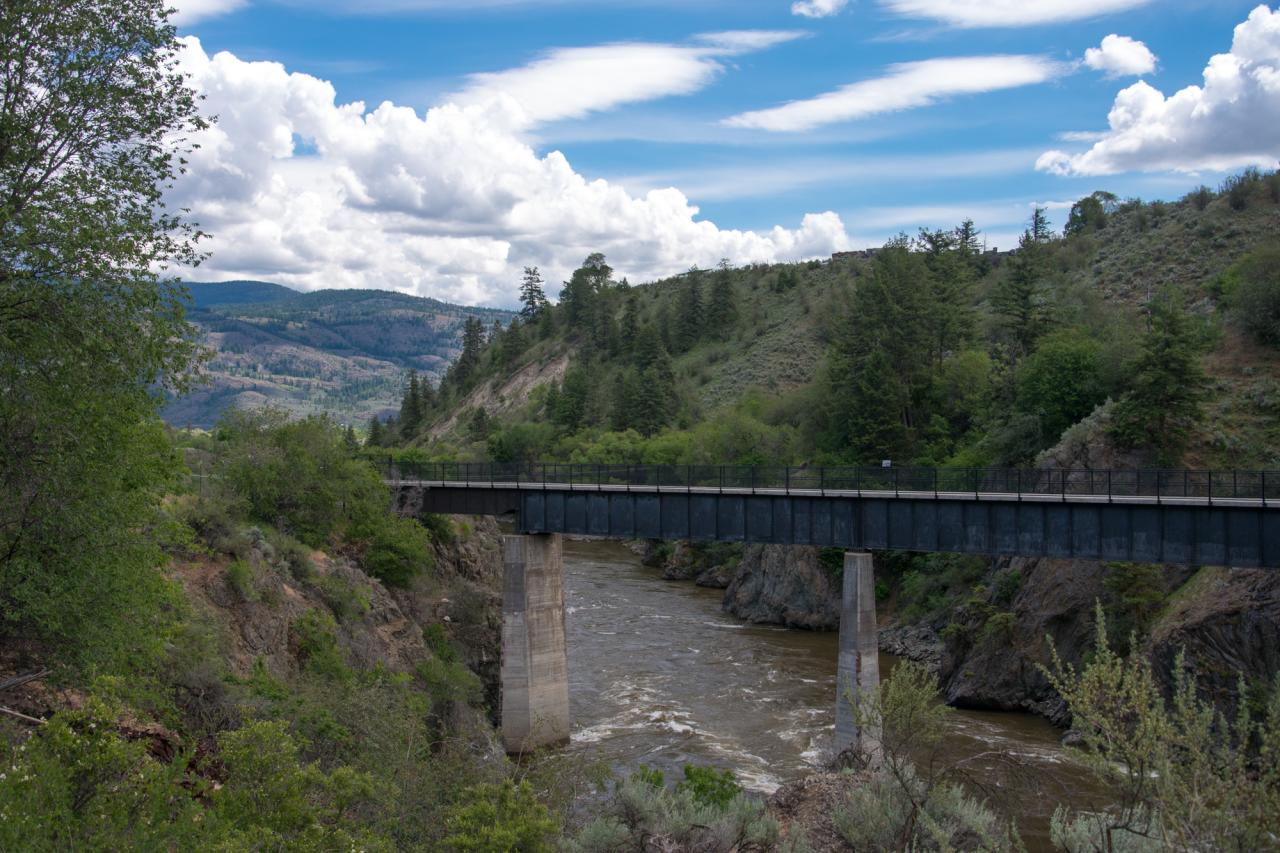
The old railroad trestle across the Similkameen River, now part of the Similkameen Trail
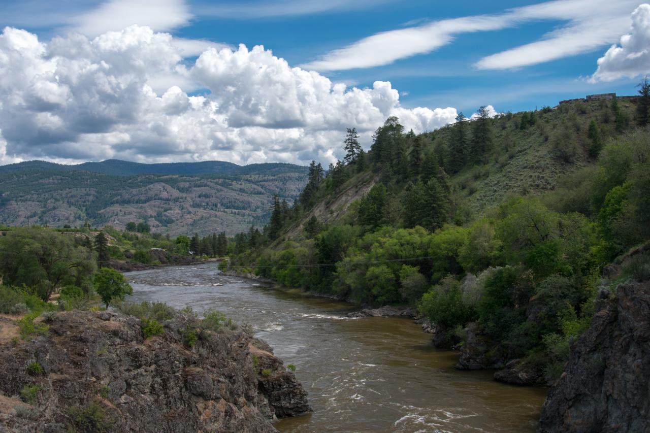
The Similkameen River near the old dam
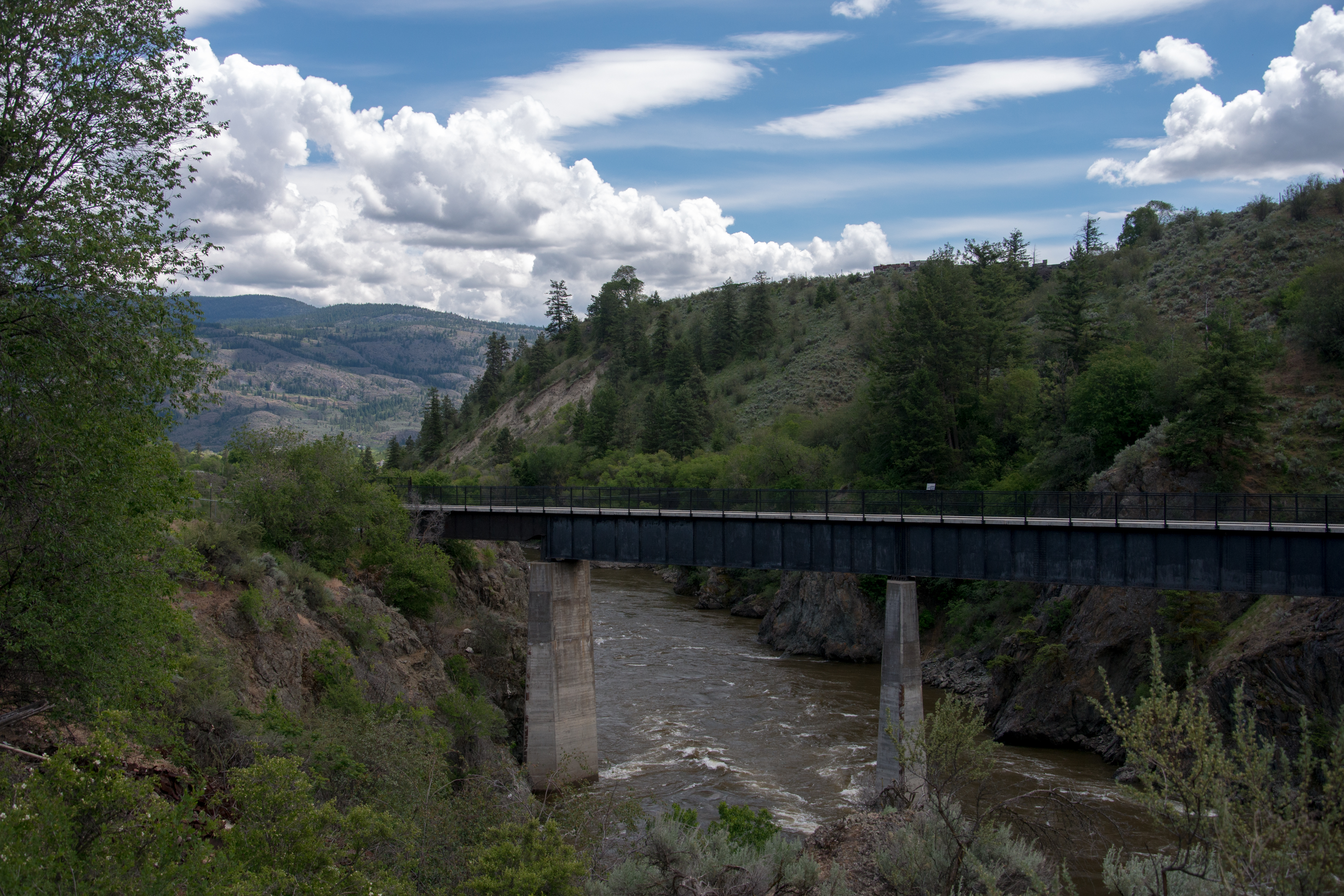
The old rail bridge over the SImilkameen River near Oroville, Washington
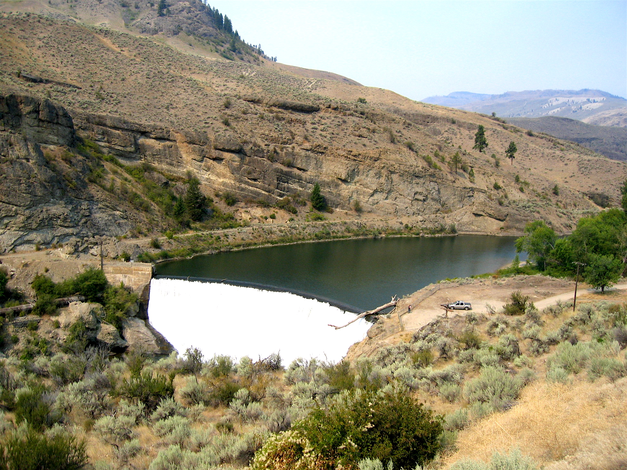
Enloe Dam, Oroville
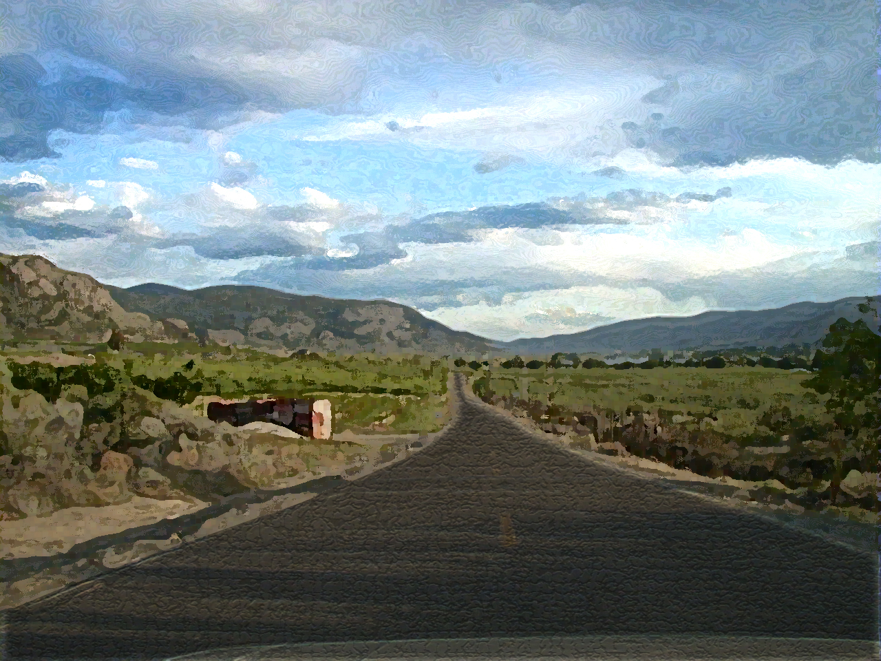
Down the road...
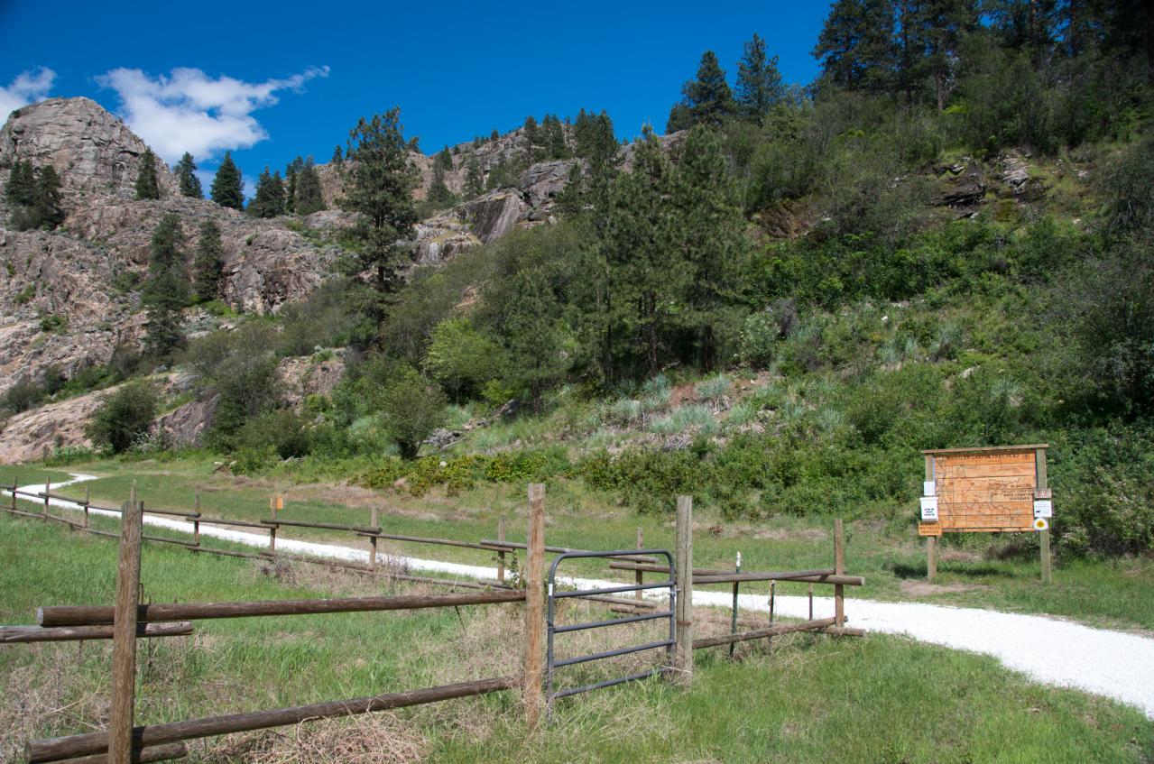
Whistler Canyon trailhead
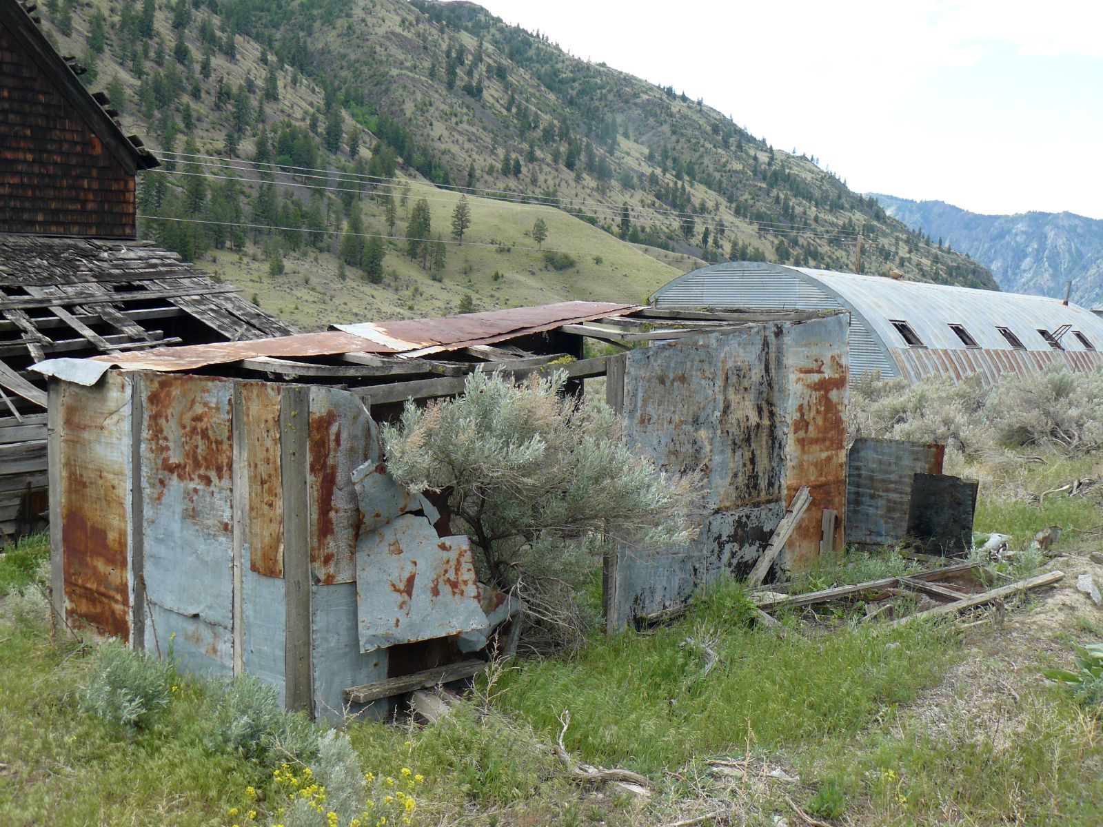
Metal Shed at Kaaba-Texas
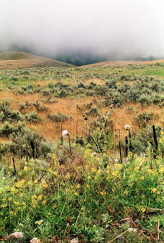
Out of the Mist

Ruby Mine
Perfected Notions
#palmerlake #washington #northwest

Hidden Harmonic Intentions

The Pacific Northwest Trail wraps around Palmer Lake near Nighthawk, Washington

Calmness Supreme
Topographic Map of 1 Kyle Ln, Tonasket, WA, USA
Find elevation by address:

Places near 1 Kyle Ln, Tonasket, WA, USA:
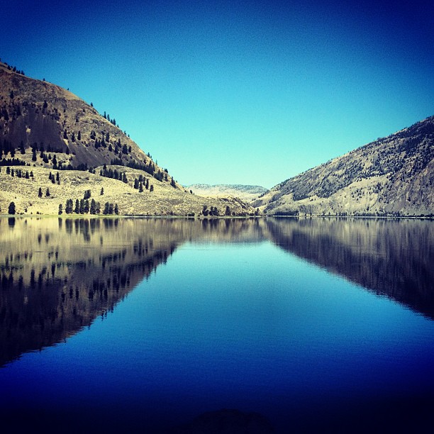
Palmer Lake
943 Ellemeham Mountain Rd
Loomis
23 Bighorn Dr
23 Bighorn Dr
23 Bighorn Dr
Ellemeham Mountain
Nighthawk
North Lemanasky Road
19639 Kruger Mountain Rd
Spotted Lake
83 Lemanasky Rd
Hurley Peak
Chopaka Mountain
Okanogan County
5297 Sumac St
Sumac Street
Okanagan-similkameen B
40 Scanlon Lake Rd
Daisy Campground
Recent Searches:
- Elevation of 6 Rue Jules Ferry, Beausoleil, France
- Elevation of Sattva Horizon, 4JC6+G9P, Vinayak Nagar, Kattigenahalli, Bengaluru, Karnataka, India
- Elevation of Great Brook Sports, Gold Star Hwy, Groton, CT, USA
- Elevation of 10 Mountain Laurels Dr, Nashua, NH, USA
- Elevation of 16 Gilboa Ln, Nashua, NH, USA
- Elevation of Laurel Rd, Townsend, TN, USA
- Elevation of 3 Nestling Wood Dr, Long Valley, NJ, USA
- Elevation of Ilungu, Tanzania
- Elevation of Yellow Springs Road, Yellow Springs Rd, Chester Springs, PA, USA
- Elevation of Rēzekne Municipality, Latvia