Elevation of Pala-Temecula Rd, Pala, CA, USA
Location: United States > California > San Diego County > Pala >
Longitude: -117.07559
Latitude: 33.3661611
Elevation: 127m / 417feet
Barometric Pressure: 100KPa
Elevation Map:
Satellite Map:
Related Photos:
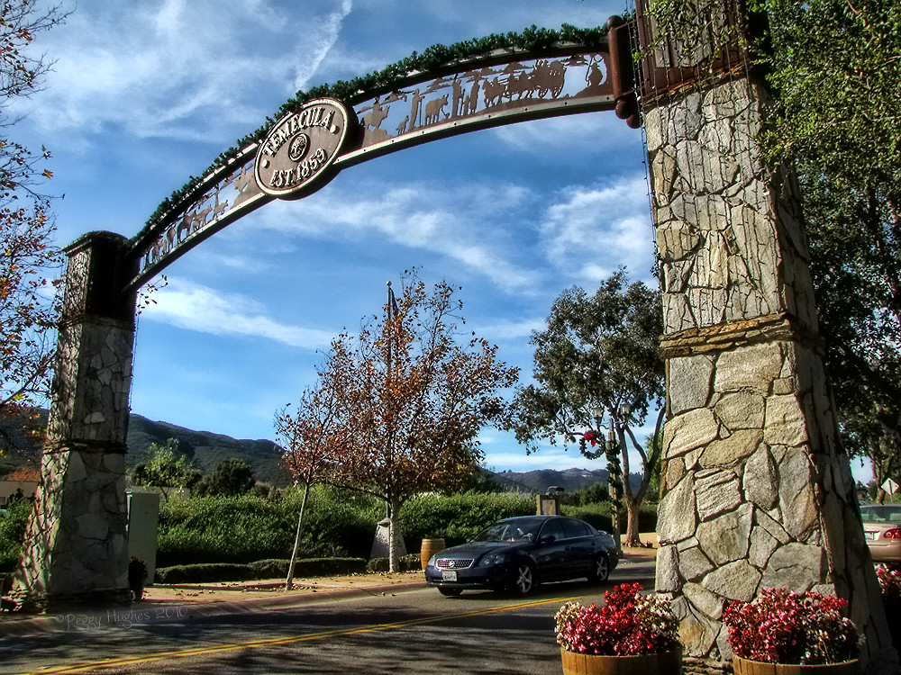
Temecula, California

Jose Pelayo
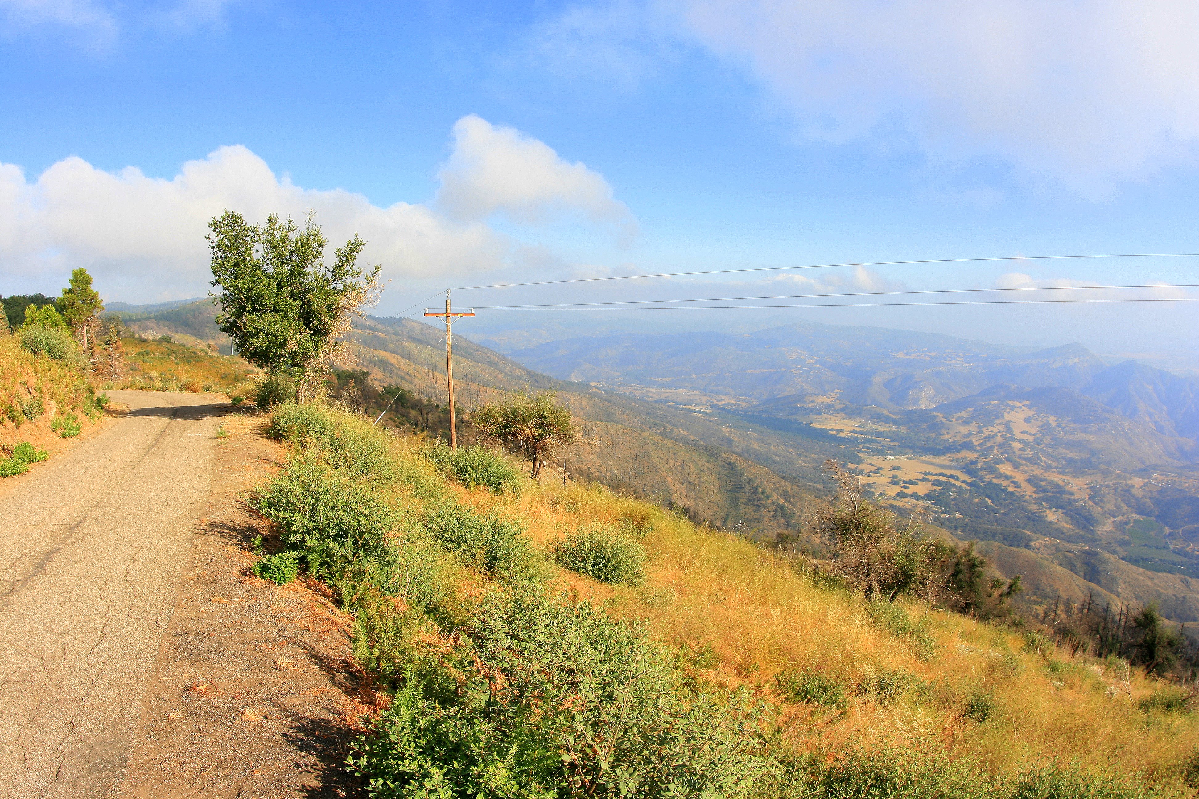
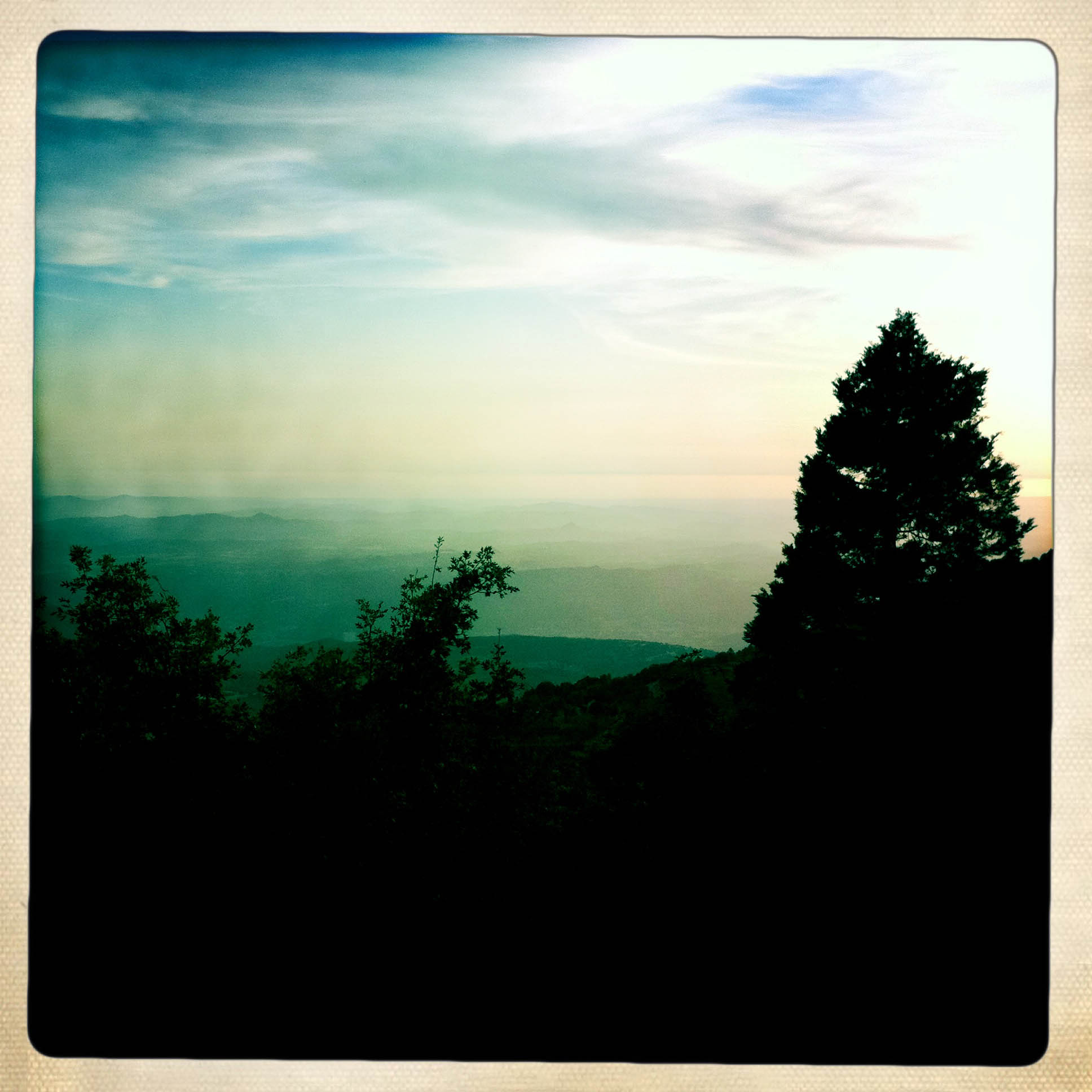
Scenic view from Palomar Mountain
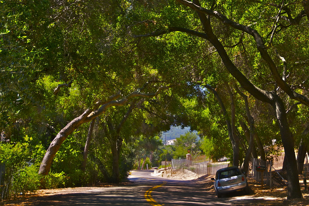
While Driving Along
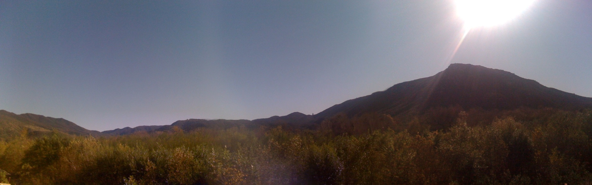
Pala View

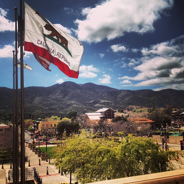
Old Town Temecula
Mission Pala: View From the Bell Tower

One last view, so sad to leave here!

why do I feel this way?
Distant snow, about 60 miles away

Cockpit view from very high above California, learn to fly! (949) 335-7955
Mount Palomar view
Panorama looking south across the street from the library
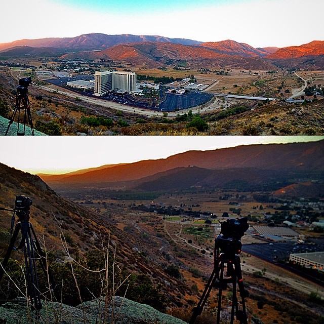
Successful day one shoot at Harrah's. It was quite the hike to get to this view and I tore my pants (one of my 3 pairs ) getting to this spot. the payoff was well worth it. #socal #southerncalifornia #escondido #californialove #timelapse #panorama #life
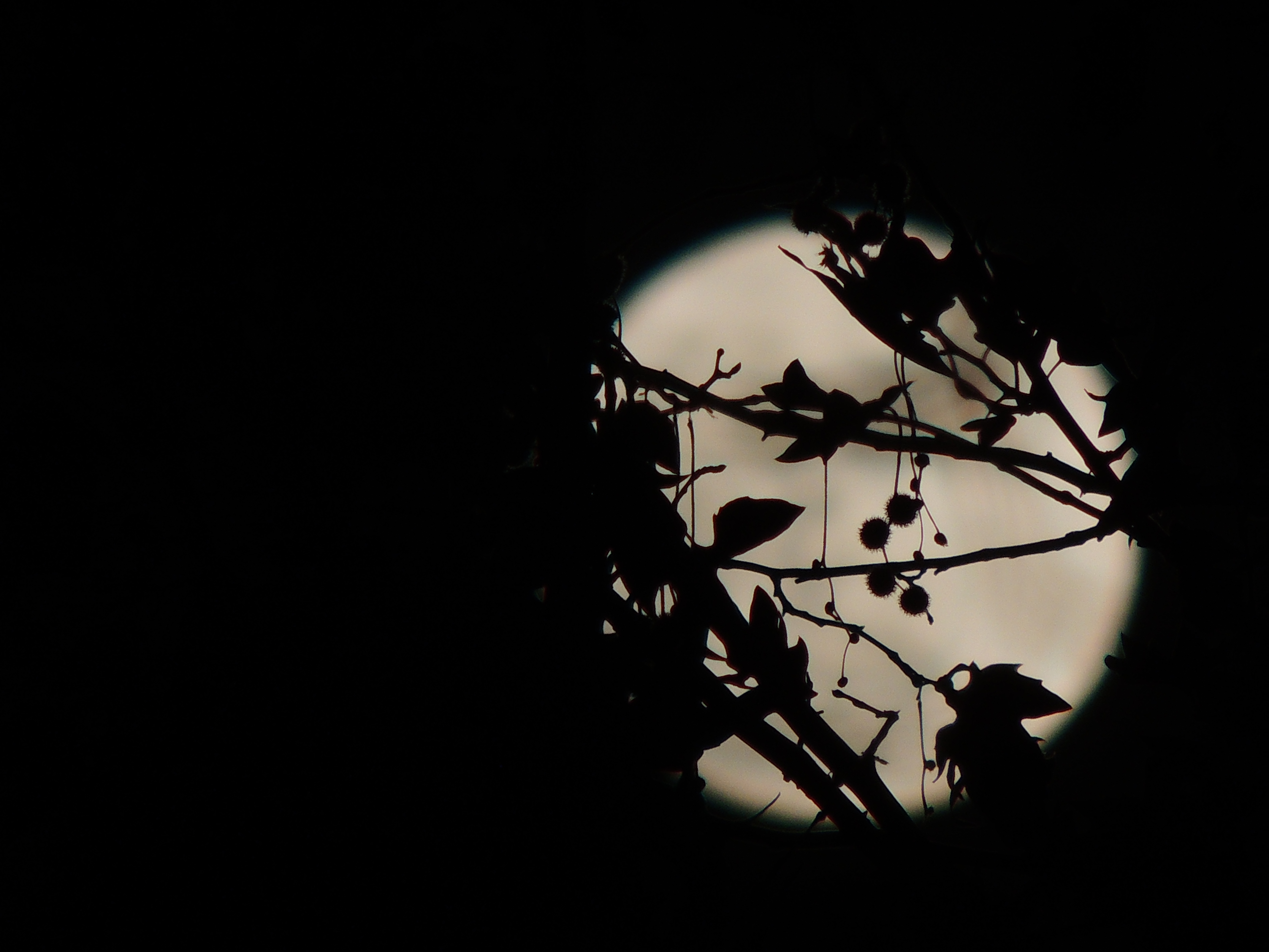
Christmas Full Moon ( Explored )
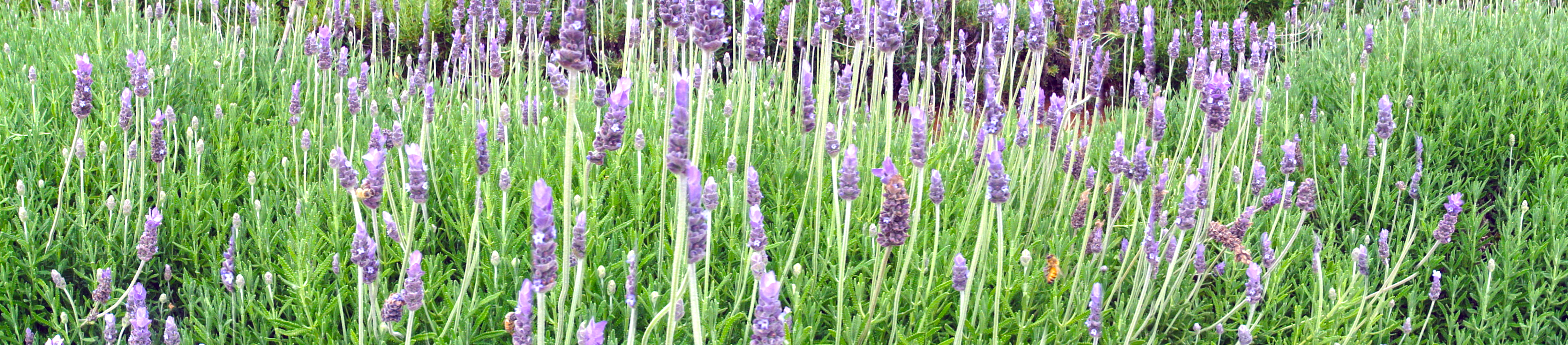
Lavender Farm 12

Pala Sunset Panorama
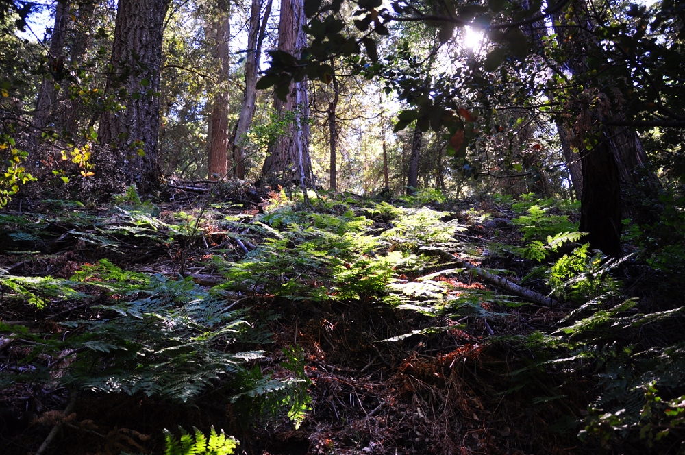
Doane Valley forest
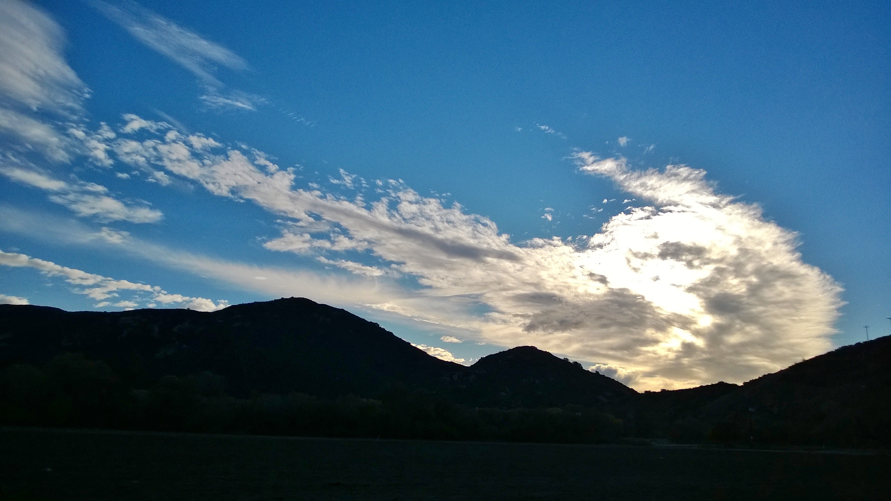
Mount Palomar view

Came back to Palomar Mtn. The view is so clear today all the way to the coastal line!
My lunchtime view from the breakroom patio at work
THE END RESULT, EXPLORED #54
WP_20131211_051.jpg
WP_20131211_052.jpg
WP_20131211_059.jpg
Palomar Mountain
WP_20131211_062.jpg
Morning fog hanging low

Lavender Farm 9

The pitch looks pretty good tonight #pitch #soccer #TemeculaValleyShootout #Albion
Palomar-2

Adam and his speed steed

Moment of Peace

IMG_0976-2
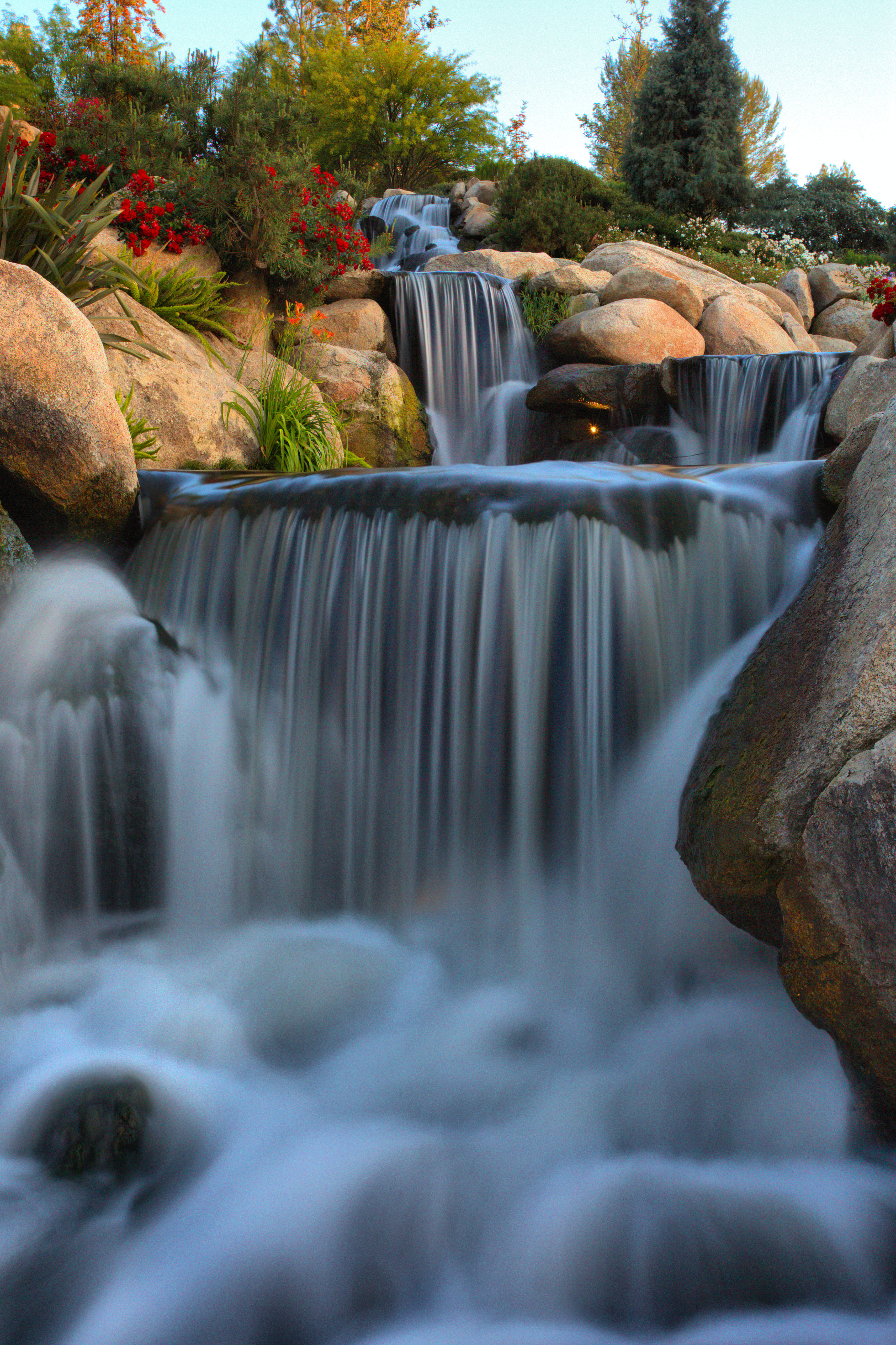
Keys Creek Lavender Farm

Interstate 15 @ 76
Ivy League
Topographic Map of Pala-Temecula Rd, Pala, CA, USA
Find elevation by address:

Places near Pala-Temecula Rd, Pala, CA, USA:
Pala
Pala Casino Spa & Resort
11154 Ca-76
307 Rainbow Crest Rd
10426 Rainbrook Dr
1045 Rainbow Crest Rd
35825 Rice Canyon Rd
32768 Vía Del Venado
10272 Lilac Ridge Rd
1210 Old Hwy 395
Old Highway 395
Vía Serra, Fallbrook, CA, USA
31151 Lilac Rd
30781 Rolling Hills Dr
32981 Mountain View Rd
3956 Pala Mesa Dr
10126 W Lilac Rd
30558 Alta Mesa Dr
Dos Ninos Road
8087 W Lilac Rd
Recent Searches:
- Elevation of Corso Fratelli Cairoli, 35, Macerata MC, Italy
- Elevation of Tallevast Rd, Sarasota, FL, USA
- Elevation of 4th St E, Sonoma, CA, USA
- Elevation of Black Hollow Rd, Pennsdale, PA, USA
- Elevation of Oakland Ave, Williamsport, PA, USA
- Elevation of Pedrógão Grande, Portugal
- Elevation of Klee Dr, Martinsburg, WV, USA
- Elevation of Via Roma, Pieranica CR, Italy
- Elevation of Tavkvetili Mountain, Georgia
- Elevation of Hartfords Bluff Cir, Mt Pleasant, SC, USA