Elevation of Vía Serra, Fallbrook, CA, USA
Location: United States > California > San Diego County > Fallbrook >
Longitude: -117.16282
Latitude: 33.332267
Elevation: 105m / 344feet
Barometric Pressure: 100KPa
Elevation Map:
Satellite Map:
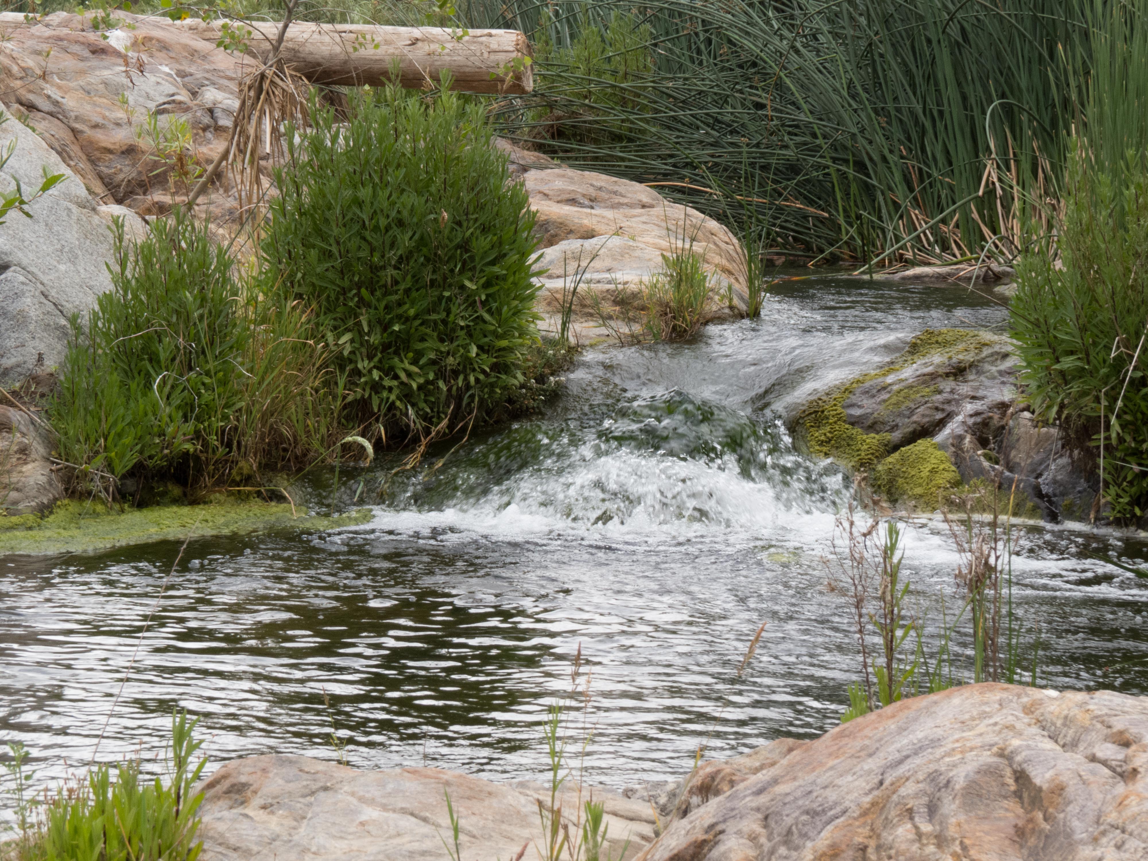
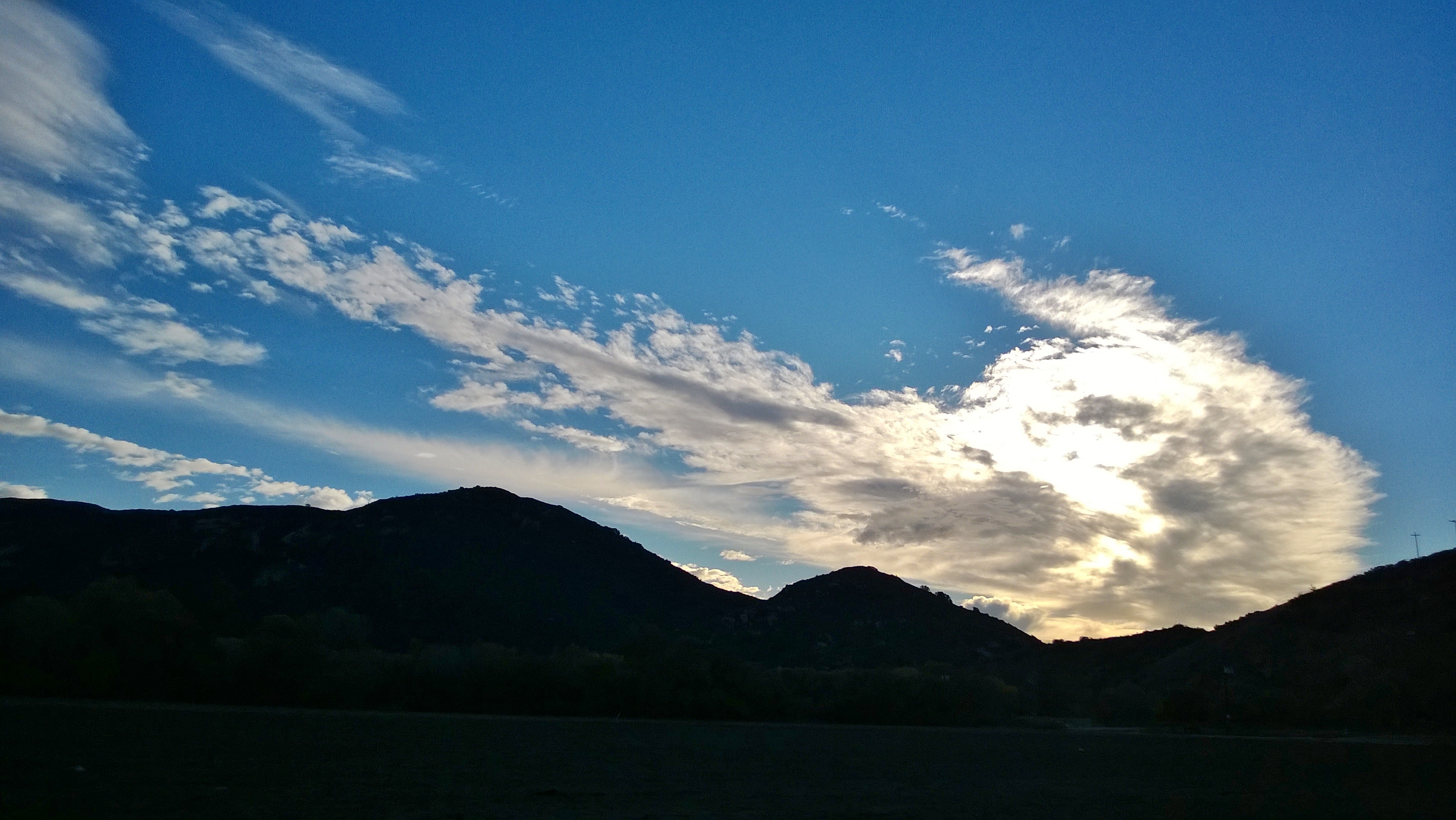
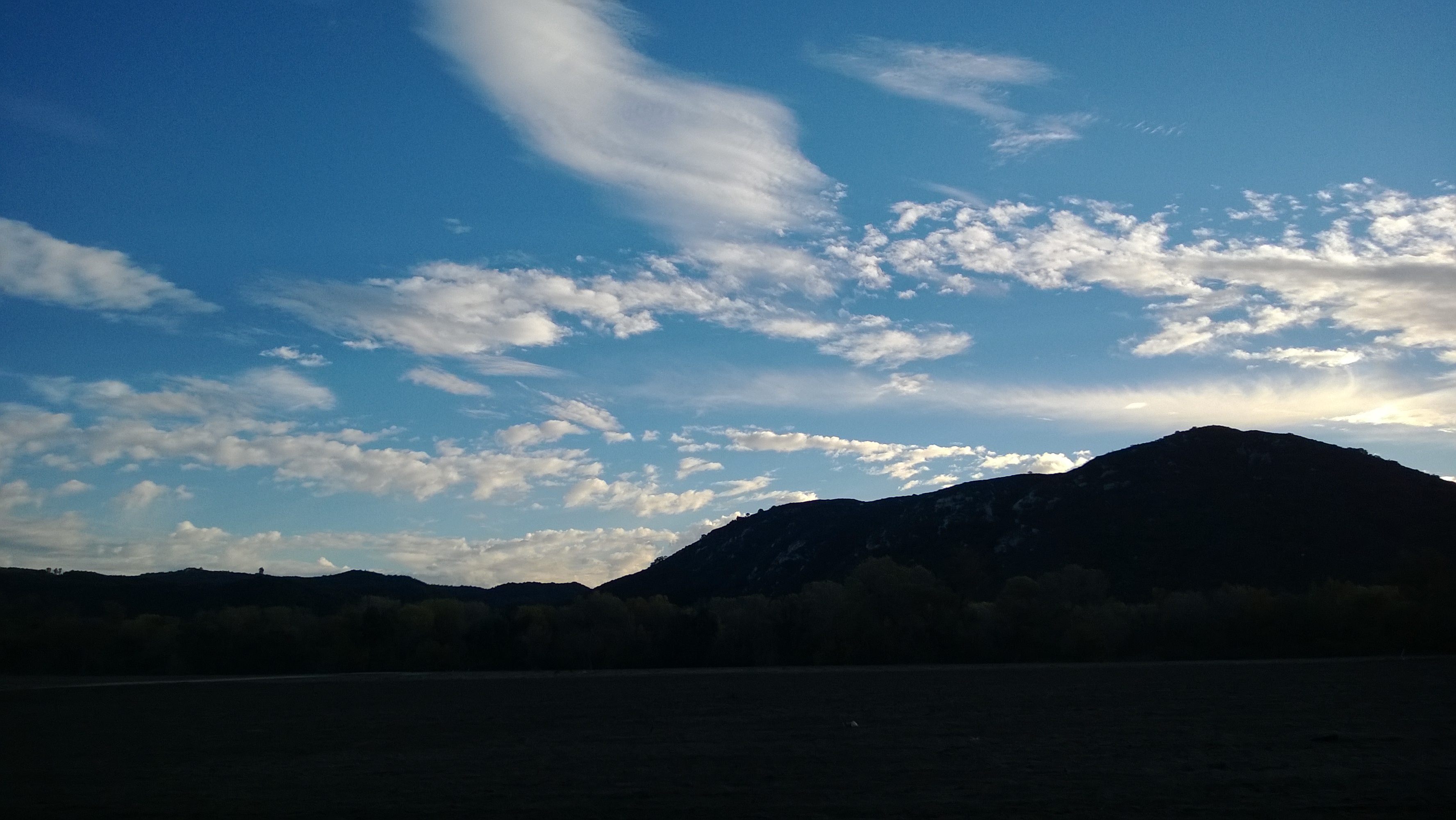
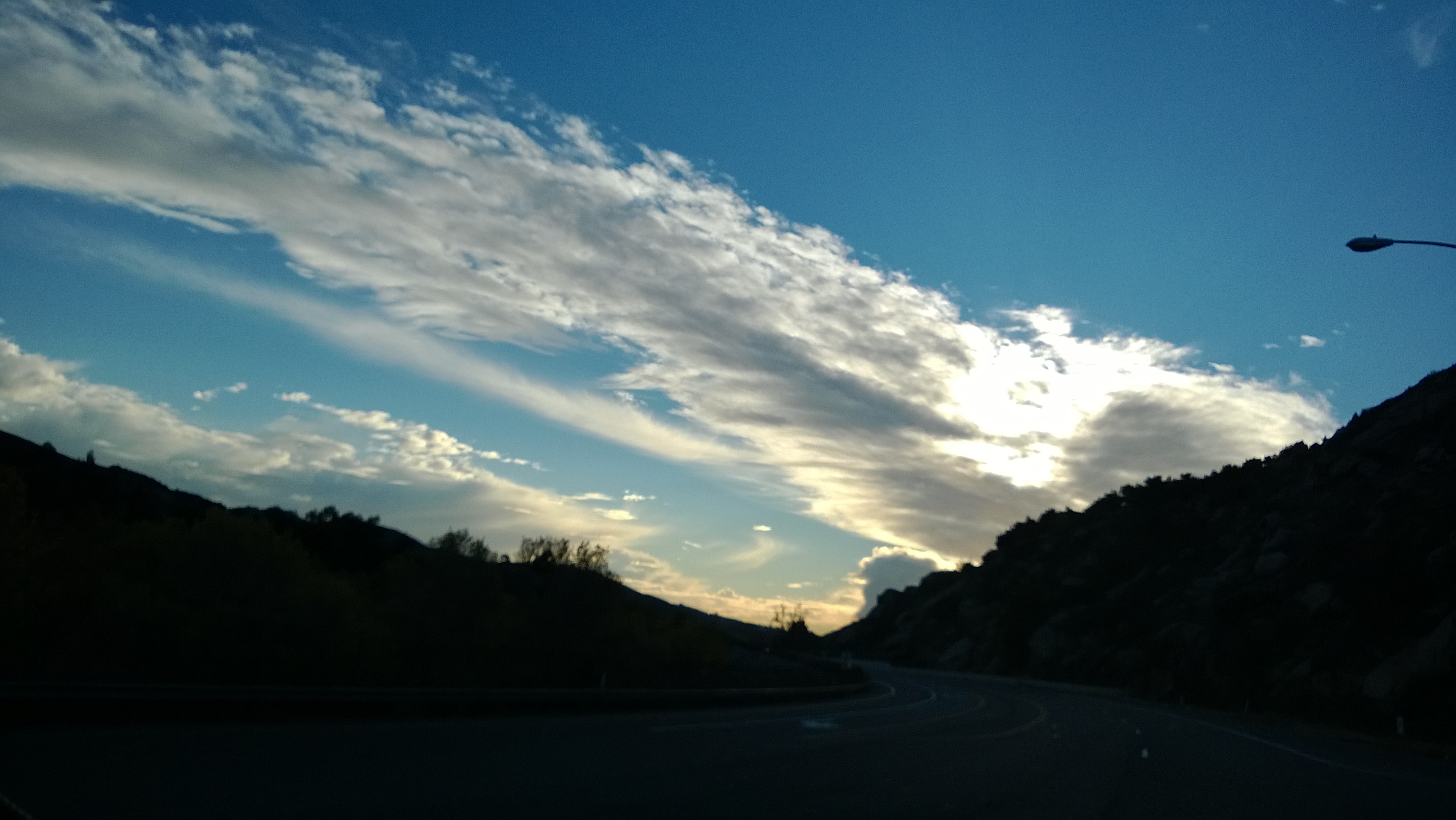
Related Photos:
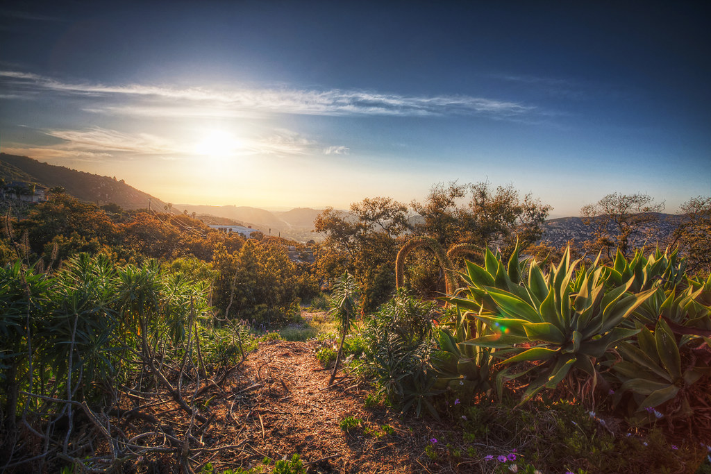
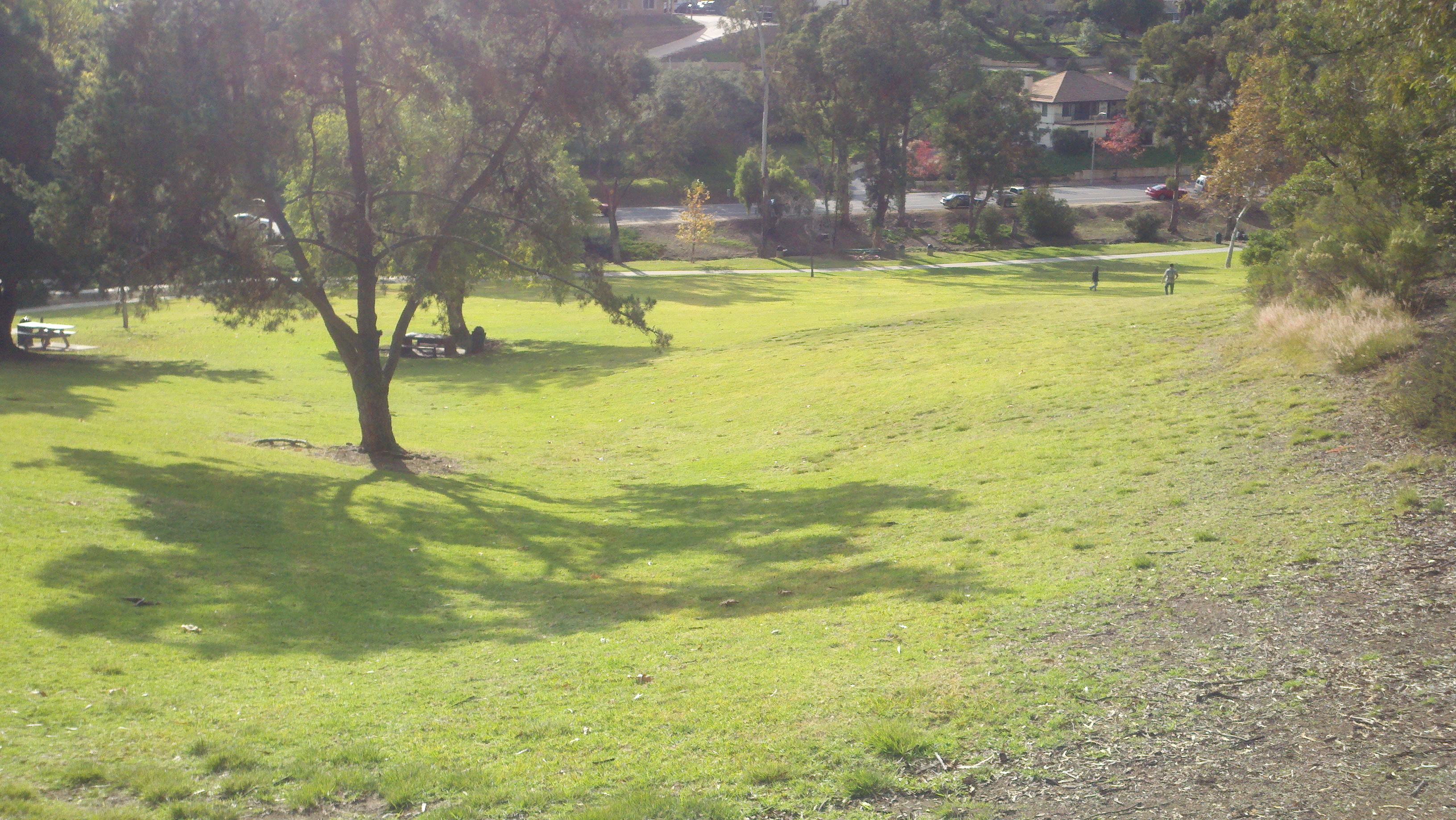
SoCal Sunset
While Driving Along

Tonight's view from my bedroom
why do I feel this way?
The Troll Under The Bridge
Beautiful view while on my way home, after a fun day of shooting the @ev_show
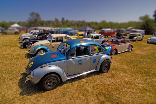
All Bugged Out 1760

S. Main Avenue - Fallbrook
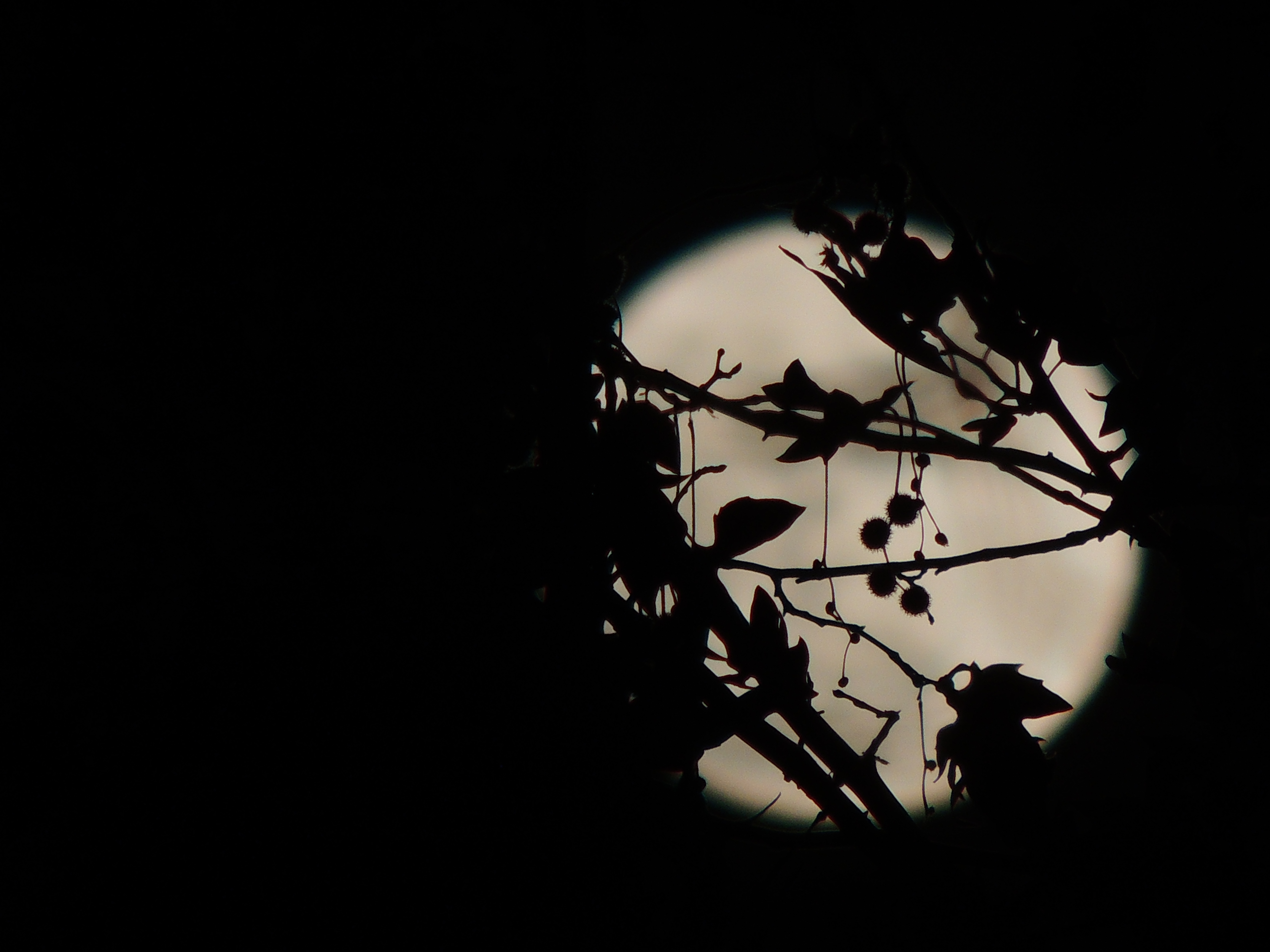
Christmas Full Moon ( Explored )
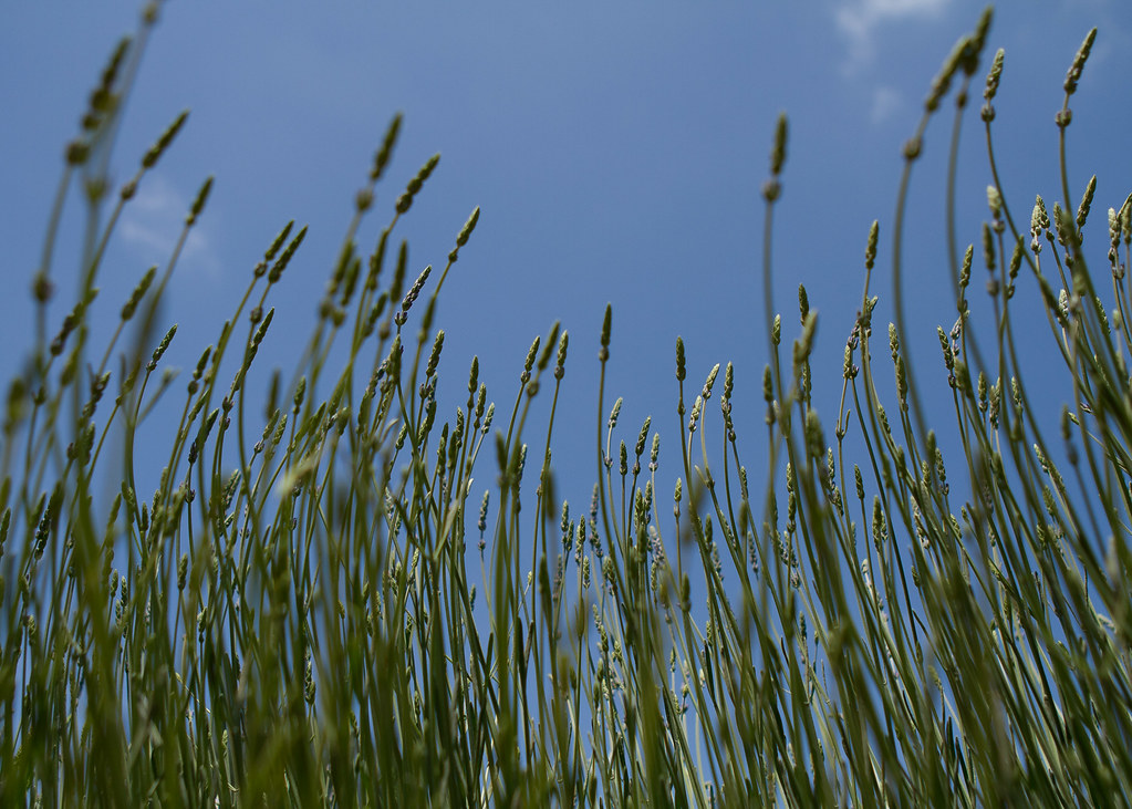
Lavender Farm 12
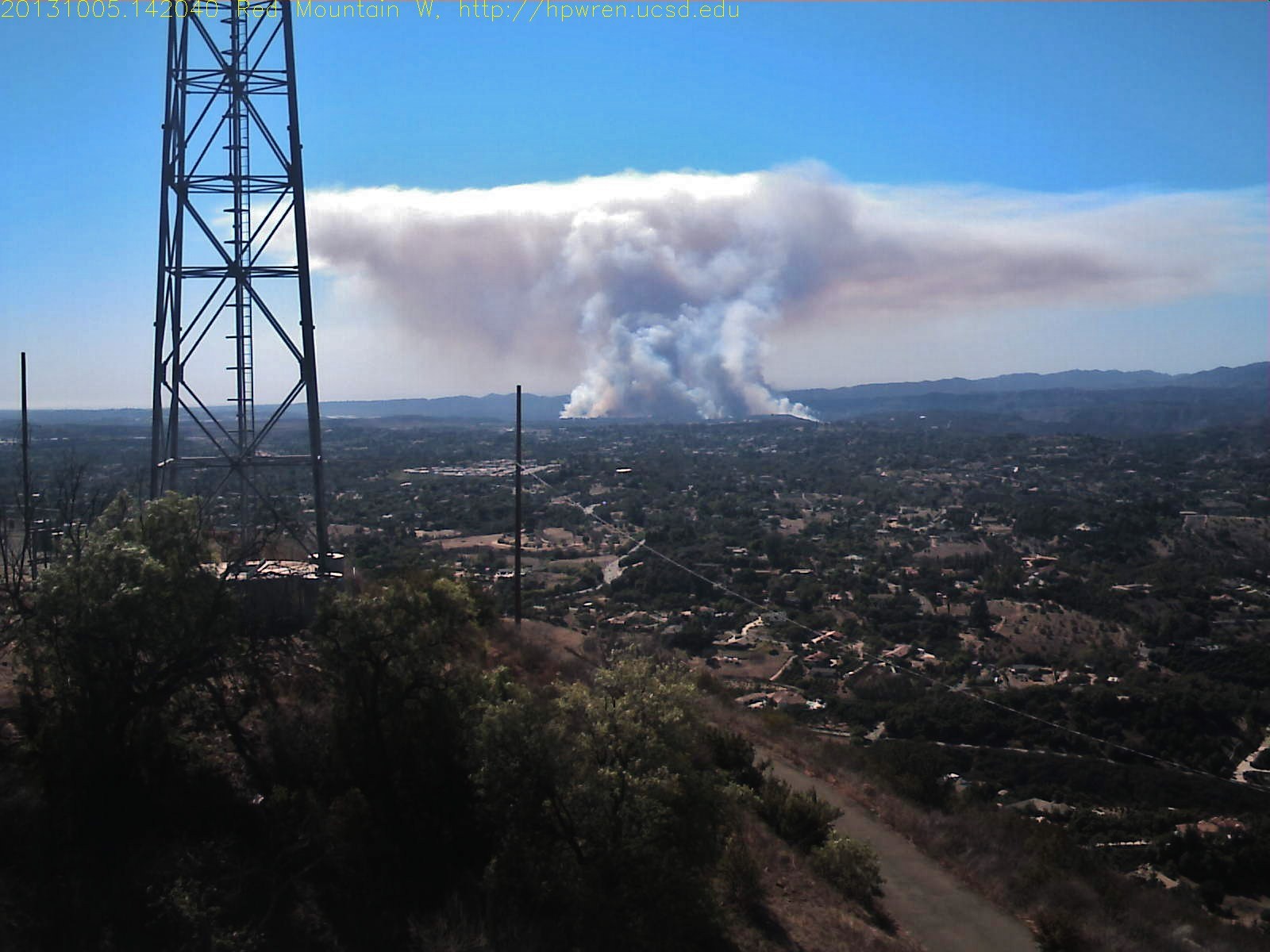
Red Mountain west view of Camp Pendleton wildfire

Street View - S Main Avenue - Fallbrook
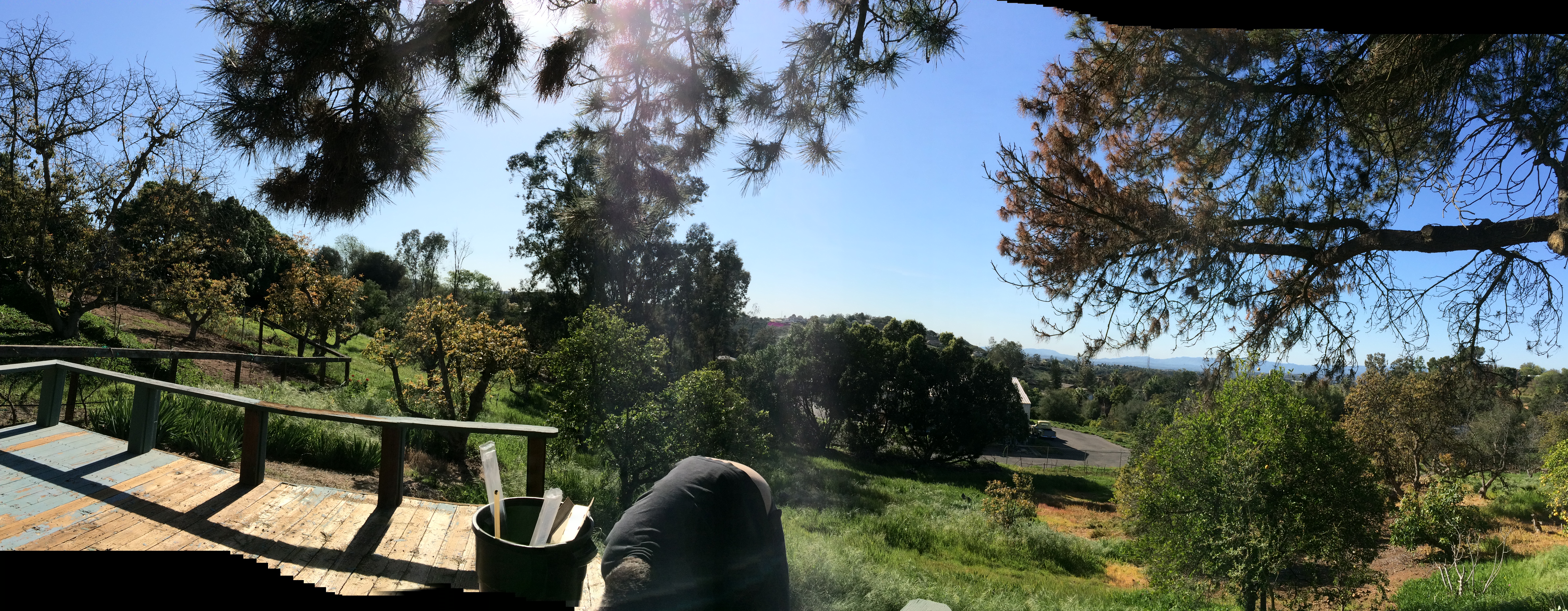
Working view!!
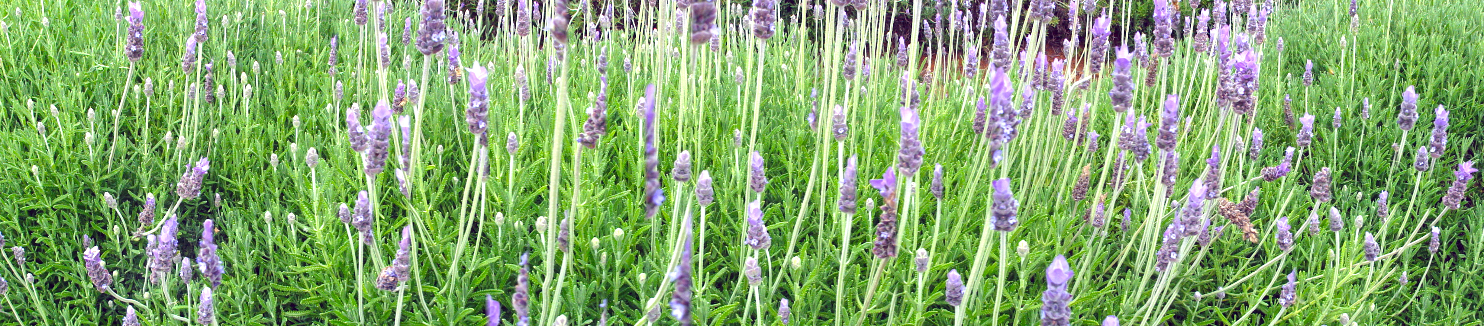
Lavender Farm 13
The Ocean Through the Avocados
Cole Grade Road, Pauma Valley, CA
Another view in sepia
Pala View
Red Mountain west view of Camp Pendleton wildfire
Lunch Time View

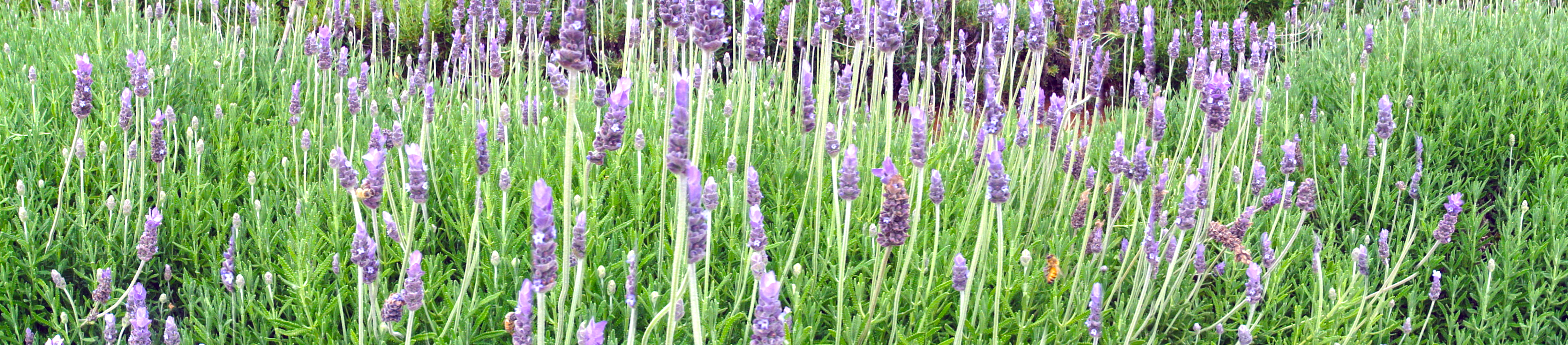
Lavender Farm 18
WP_20131211_051.jpg
WP_20131211_052.jpg
WP_20131211_059.jpg

The pitch looks pretty good tonight #pitch #soccer #TemeculaValleyShootout #Albion

Before Sunrise
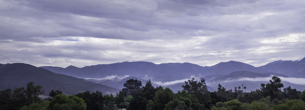
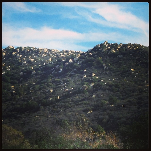
Clouds in the Mountains

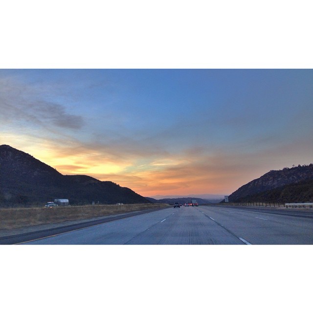
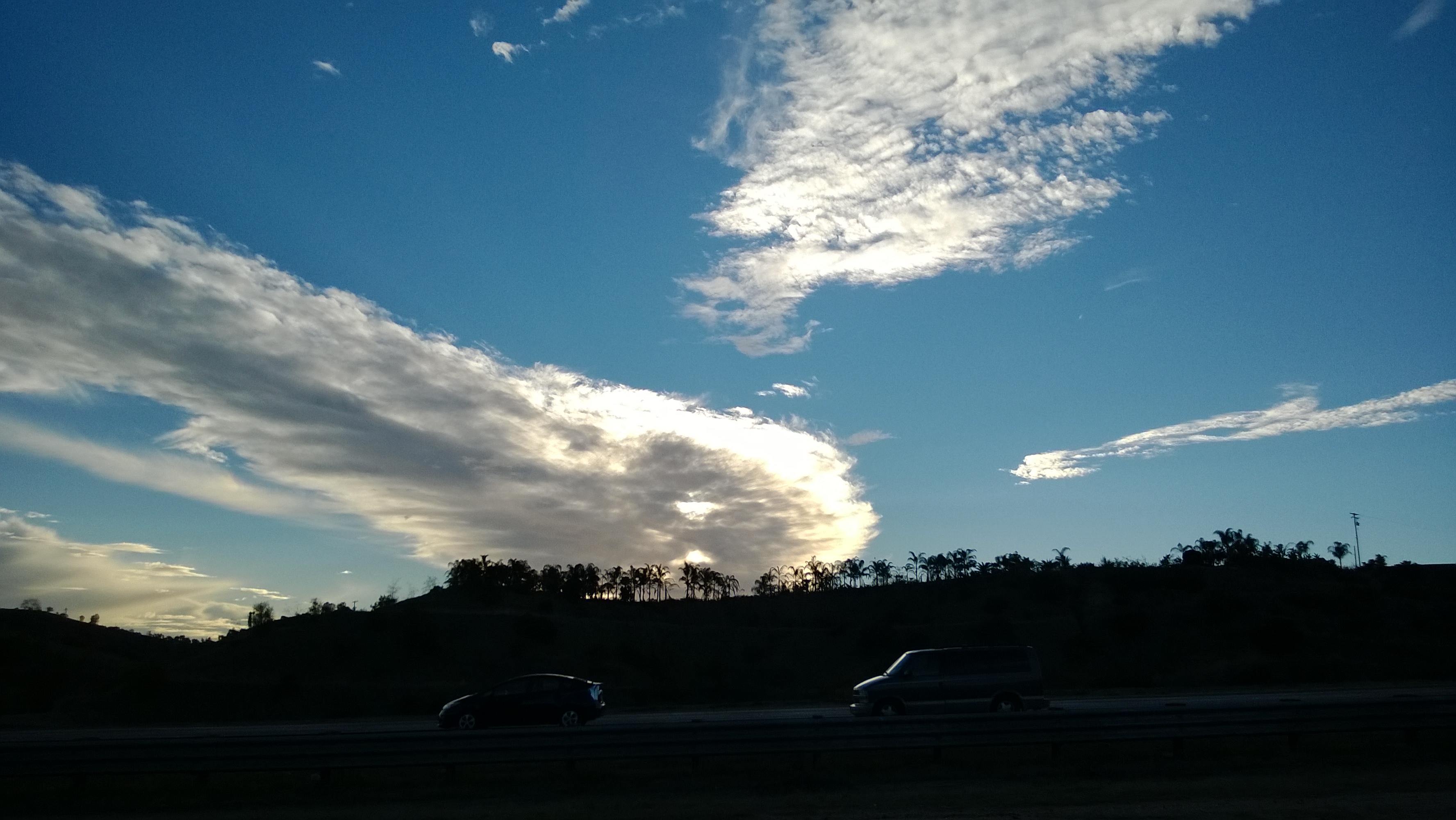
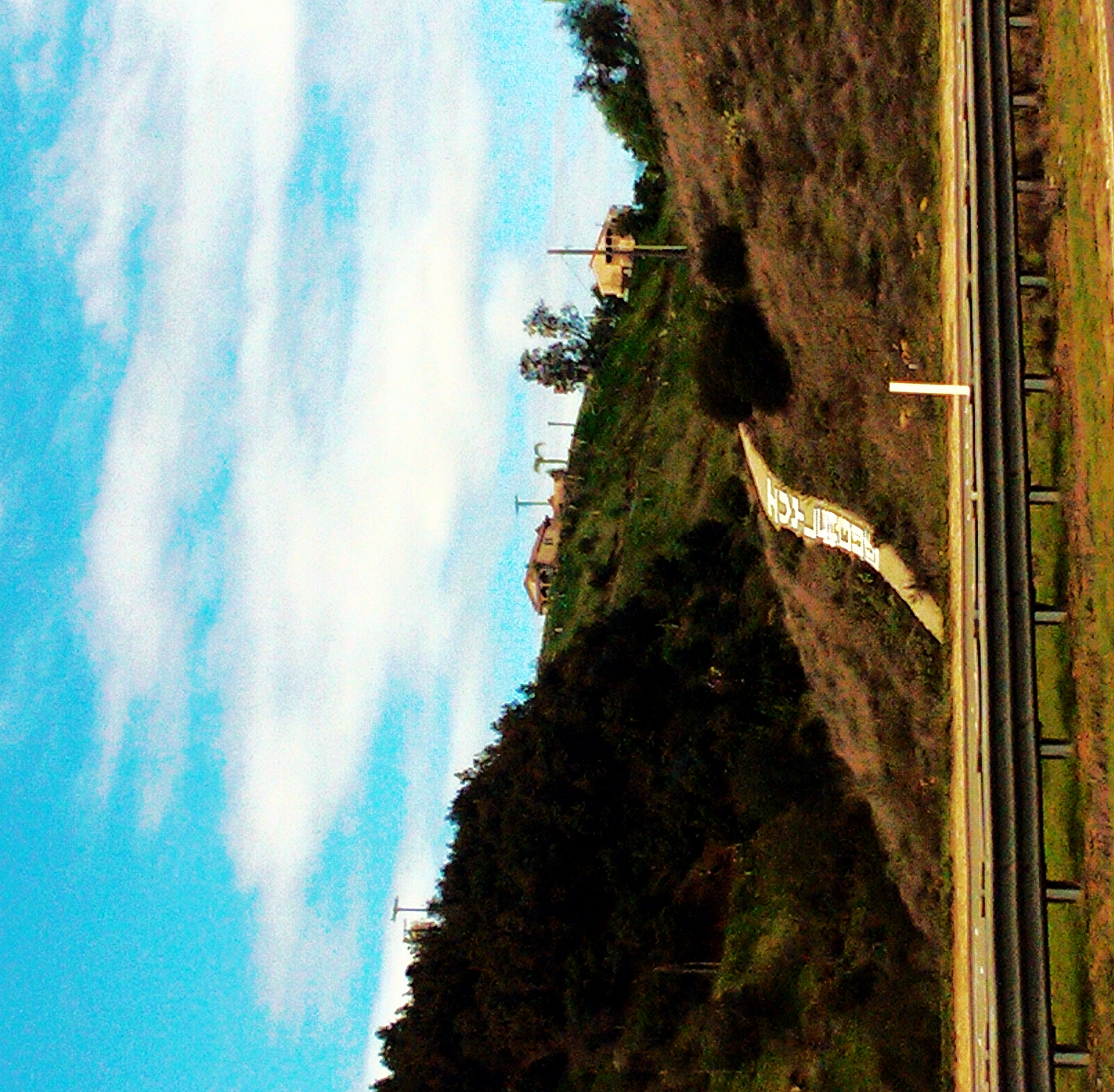
Interstate 15 @ 76
WP_20131211_062.jpg

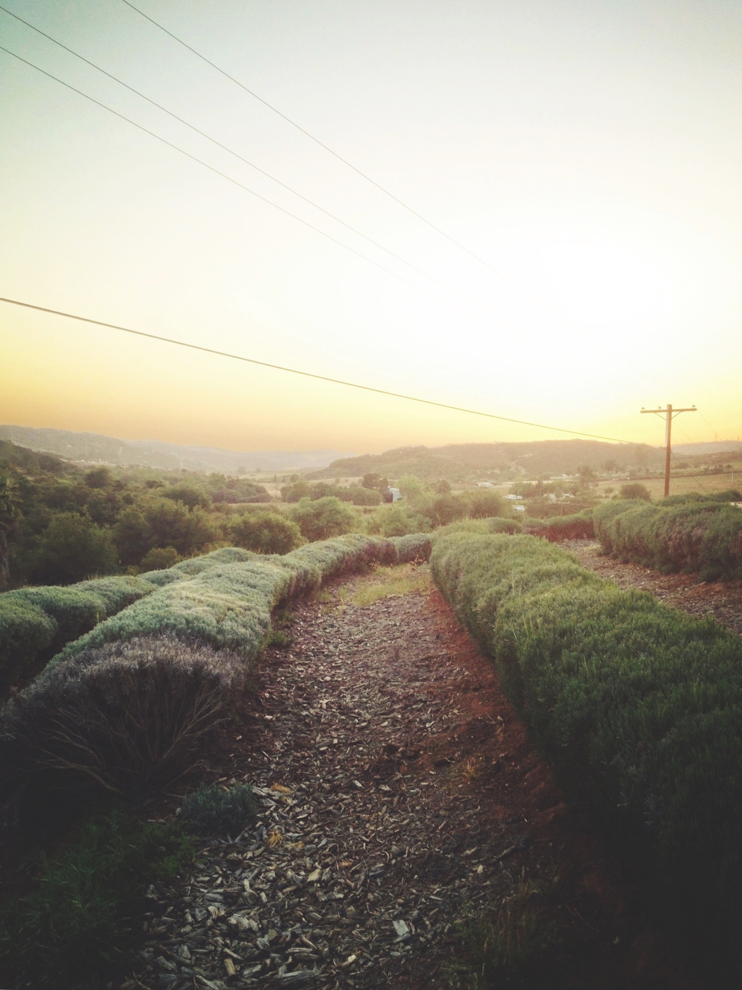
Lavender Farm 9

Strip Mall No. 1 - Fallbrook
Keys Creek Lavender Farm
Moment of Peace

IMG_0976-2

Sunrise 071121
this is for the texture ladies @jayellehudson and @stinister
Ivy League
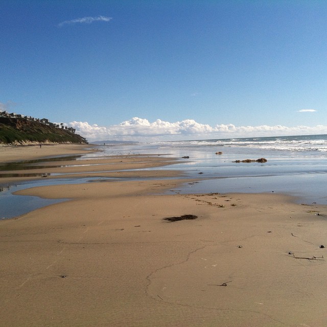
Magic day after the storm #lifesabeach
Lovely light and shadows. #california #landscape
2011-12-17_14-01-11_215
IMG_0976-4
Topographic Map of Vía Serra, Fallbrook, CA, USA
Find elevation by address:

Places near Vía Serra, Fallbrook, CA, USA:
3956 Pala Mesa Dr
2323 Wilt Rd
32981 Mountain View Rd
3418 Country Rd
Dos Ninos Road
8087 W Lilac Rd
Canonita Drive
Canonita Drive
3210 Canonita Dr
Old Highway 395
1210 Old Hwy 395
8260 Via Urner Way
2365 Palo Vista Rd
35825 Rice Canyon Rd
2793 Dos Lomas
Palo Vista Road
2975 Dos Lomas
3639 Genista Pl
1647 Via Vista
Vista Valle Verde Drive
Recent Searches:
- Elevation of Côte-des-Neiges, Montreal, QC H4A 3J6, Canada
- Elevation of Bobcat Dr, Helena, MT, USA
- Elevation of Zu den Ihlowbergen, Althüttendorf, Germany
- Elevation of Badaber, Peshawar, Khyber Pakhtunkhwa, Pakistan
- Elevation of SE Heron Loop, Lincoln City, OR, USA
- Elevation of Slanický ostrov, 01 Námestovo, Slovakia
- Elevation of Spaceport America, Co Rd A, Truth or Consequences, NM, USA
- Elevation of Warwick, RI, USA
- Elevation of Fern Rd, Whitmore, CA, USA
- Elevation of 62 Abbey St, Marshfield, MA, USA