Elevation of Paisy-Cosdon, France
Location: France > Alsace-champagne-ardenne-lorraine > Aube >
Longitude: 3.7141
Latitude: 48.233088
Elevation: 125m / 410feet
Barometric Pressure: 100KPa
Elevation Map:
Satellite Map:
Related Photos:
brown hair
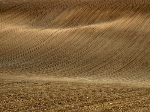
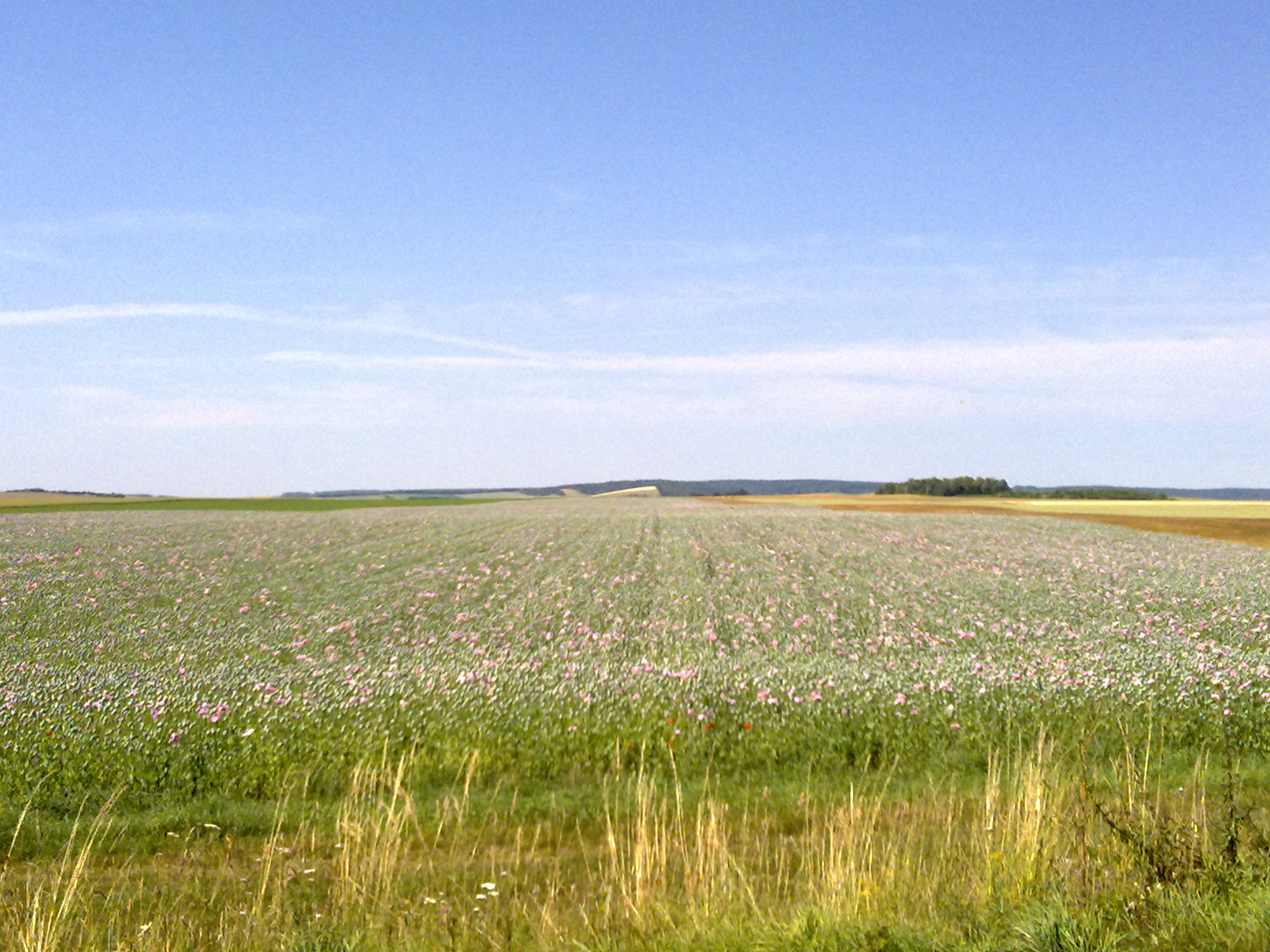
field lines
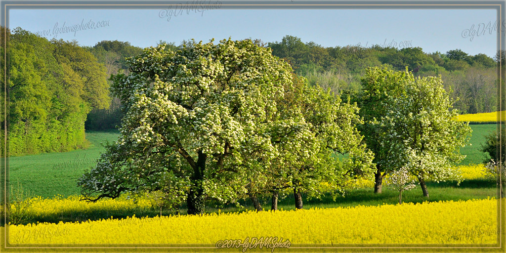
Pommier en fleur / apple tree in bloom
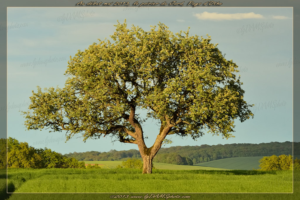
Poirier du Pays d'Othe / Pear tree of Pays d'Othe
Poirier du Pays d'Othe / Pear tree of Pays d'Othe

Les petits sapins
Au pied d'un poirier / At the foot of a pear tree
Poirier du Pays d'Othe / Pear tree of pays d'Othe

Complètement givré
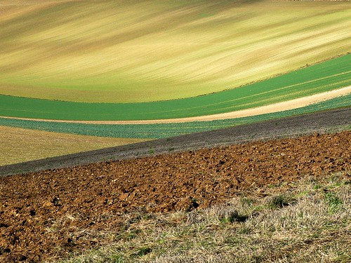
Champs à côté de Villemoiron-en-Othe
Countryside on the way to Troyes
Topographic Map of Paisy-Cosdon, France
Find elevation by address:

Places in Paisy-Cosdon, France:
Places near Paisy-Cosdon, France:
17 Rue Principale, Paisy-Cosdon, France
Bérulle
2 Rue du Faubourg, Bérulle, France
2 Rue Saint-Blaise, Pouy-sur-Vannes, France
Pouy-sur-vannes
Bucey-en-othe
21 Rue Jean Thomas Bonnemain, Bucey-en-Othe, France
5 Rue de l'Abreuvoir, Bourdenay, France
7 Rue de Chaast, Bucey-en-Othe, France
Bourdenay
12 Rue Monjou, Venizy, France
Venizy
13 Route de Saint-Florentin, Neuvy-Sautour, France
Neuvy-sautour
Chemin du Cimetière, Saint-Martin-de-Bossenay, France
3 B
Saint-martin-de-bossenay
La Fosse-corduan
21 Avenue de la République, Villechétive, France
6 Rue Georges Brassens, Saint-Lyé, France
Recent Searches:
- Elevation of Congressional Dr, Stevensville, MD, USA
- Elevation of Bellview Rd, McLean, VA, USA
- Elevation of Stage Island Rd, Chatham, MA, USA
- Elevation of Shibuya Scramble Crossing, 21 Udagawacho, Shibuya City, Tokyo -, Japan
- Elevation of Jadagoniai, Kaunas District Municipality, Lithuania
- Elevation of Pagonija rock, Kranto 7-oji g. 8"N, Kaunas, Lithuania
- Elevation of Co Rd 87, Jamestown, CO, USA
- Elevation of Tenjo, Cundinamarca, Colombia
- Elevation of Côte-des-Neiges, Montreal, QC H4A 3J6, Canada
- Elevation of Bobcat Dr, Helena, MT, USA