Elevation of Pouy-sur-Vannes, France
Location: France > Alsace-champagne-ardenne-lorraine > Aube >
Longitude: 3.588839
Latitude: 48.307047
Elevation: 162m / 531feet
Barometric Pressure: 99KPa
Elevation Map:
Satellite Map:
Related Photos:
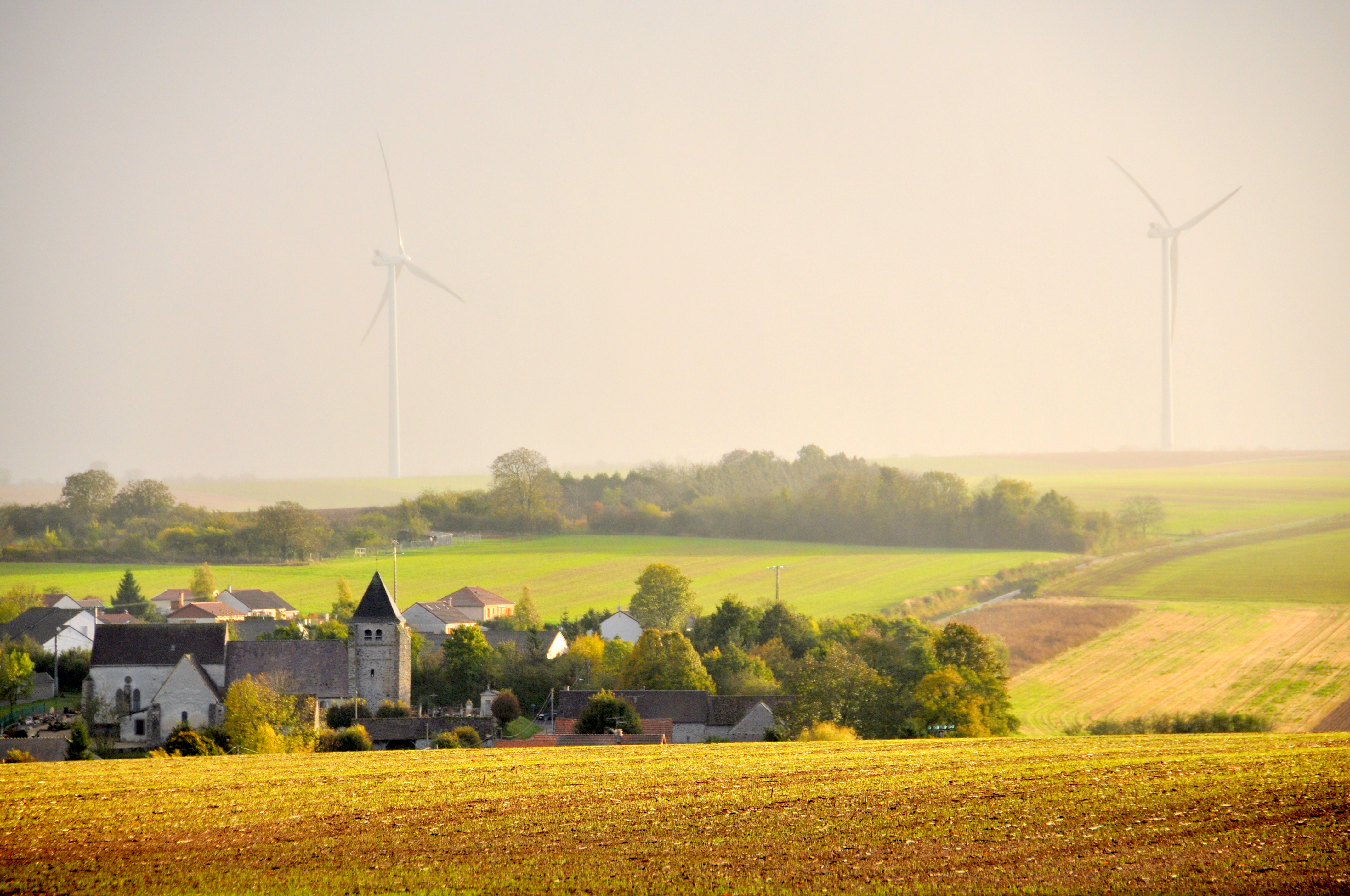
Avant-lès-Marcilly - Champagne-Ardenne - Aube - France
Pommier en fleur / apple tree in bloom
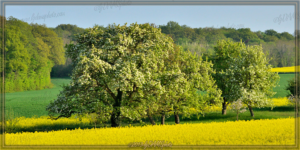
Poirier du Pays d'Othe / Pear tree of Pays d'Othe
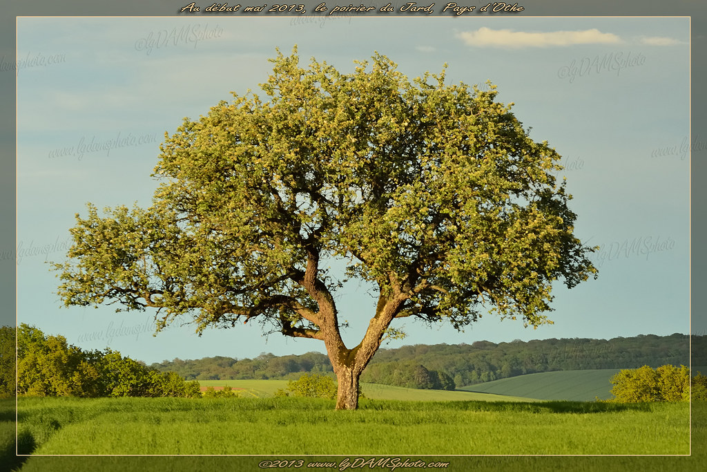
Poirier du Pays d'Othe / Pear tree of Pays d'Othe
Au pied d'un poirier / At the foot of a pear tree
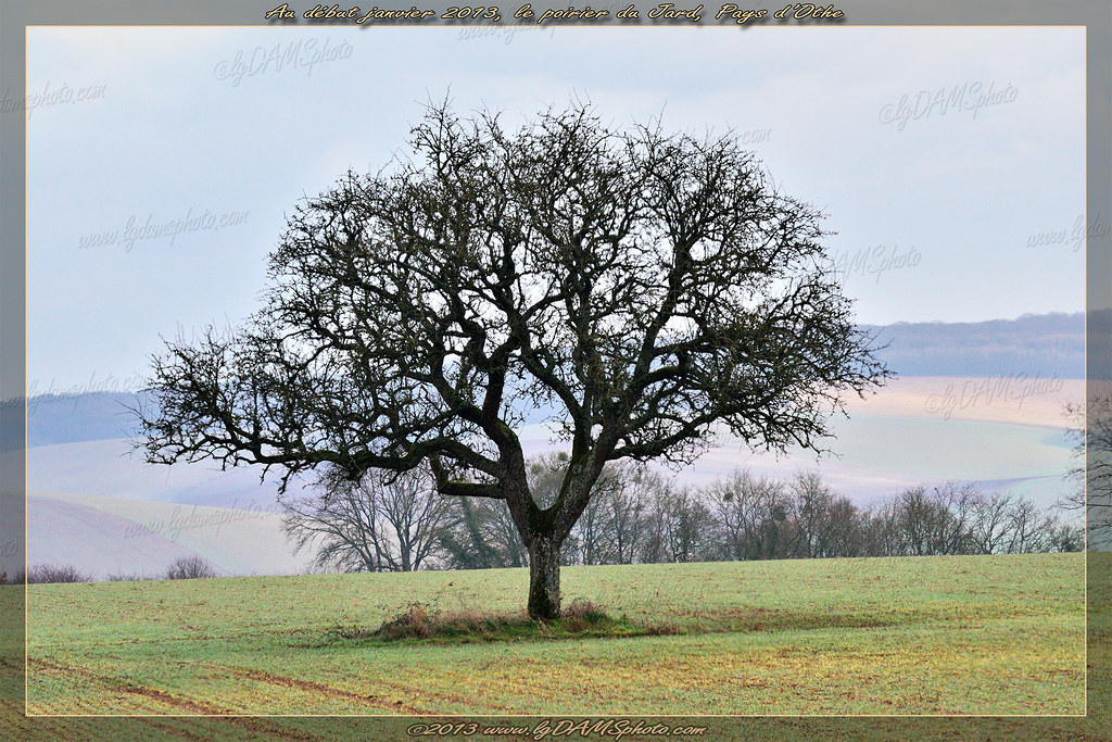
Poirier du Pays d'Othe / Pear tree of pays d'Othe

Et la rivière ...
Aqueduc de la Vanne - Chigy 05
Countryside on the way to Troyes
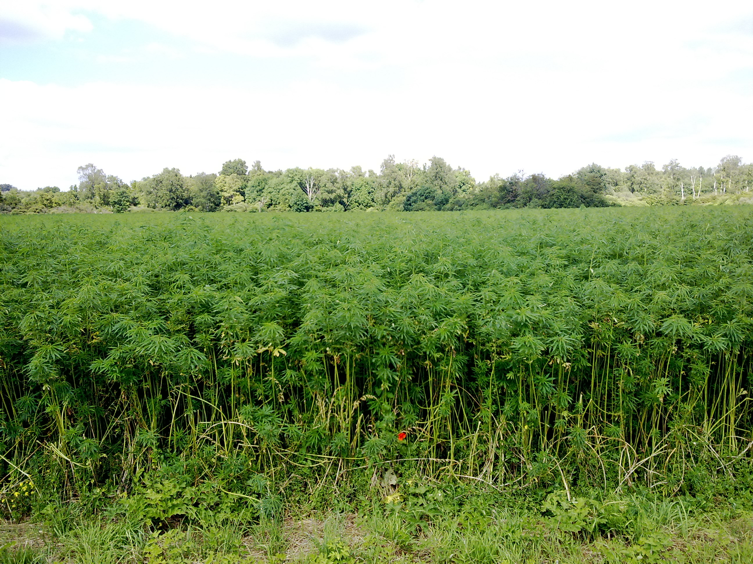
Fields of curious plant
Topographic Map of Pouy-sur-Vannes, France
Find elevation by address:

Places in Pouy-sur-Vannes, France:
Places near Pouy-sur-Vannes, France:
2 Rue Saint-Blaise, Pouy-sur-Vannes, France
5 Rue de l'Abreuvoir, Bourdenay, France
Bourdenay
Paisy-cosdon
La Fosse-corduan
2 Rue du Faubourg, Bérulle, France
Bérulle
17 Rue Principale, Paisy-Cosdon, France
3 B
Chemin du Cimetière, Saint-Martin-de-Bossenay, France
Saint-martin-de-bossenay
Vareilles
3 A
Pont-sur-vanne
10 Gr Grande Rue, Pont-sur-Vanne, France
11 Rue du Gué du Bois, La Motte-Tilly, France
La Motte-tilly
21 Avenue de la République, Villechétive, France
Villechétive
Pars-lès-romilly
Recent Searches:
- Elevation of 30 Oak Lawn Dr, Barkhamsted, CT, USA
- Elevation of Luther Road, Luther Rd, Auburn, CA, USA
- Elevation of Unnamed Road, Respublika Severnaya Osetiya — Alaniya, Russia
- Elevation of Verkhny Fiagdon, North Ossetia–Alania Republic, Russia
- Elevation of F. Viola Hiway, San Rafael, Bulacan, Philippines
- Elevation of Herbage Dr, Gulfport, MS, USA
- Elevation of Lilac Cir, Haldimand, ON N3W 2G9, Canada
- Elevation of Harrod Branch Road, Harrod Branch Rd, Kentucky, USA
- Elevation of Wyndham Grand Barbados Sam Lords Castle All Inclusive Resort, End of Belair Road, Long Bay, Bridgetown Barbados
- Elevation of Iga Trl, Maggie Valley, NC, USA