Elevation map of Padre Island, Texas, USA
Location: United States > Texas > Kleberg County >
Longitude: -97.297661
Latitude: 27.464076
Elevation: 2m / 7feet
Barometric Pressure: 101KPa
Elevation Map:
Satellite Map:
Related Photos:

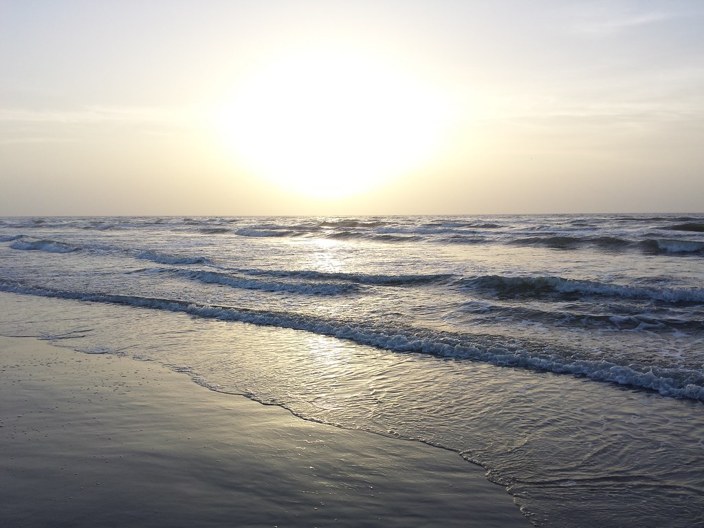
Sun and Surf

Sub-Adult Male Jumping spider - (Habronattus mataxus)
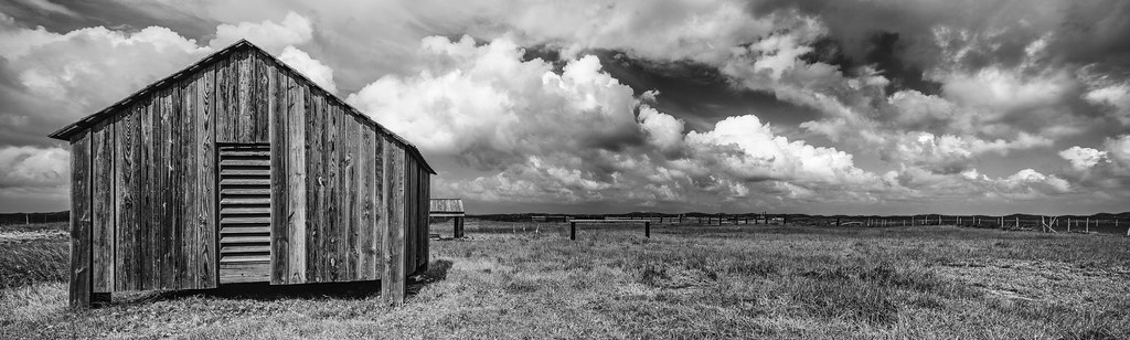
1870's Novillo Line Camp At Padre Island National Seashore
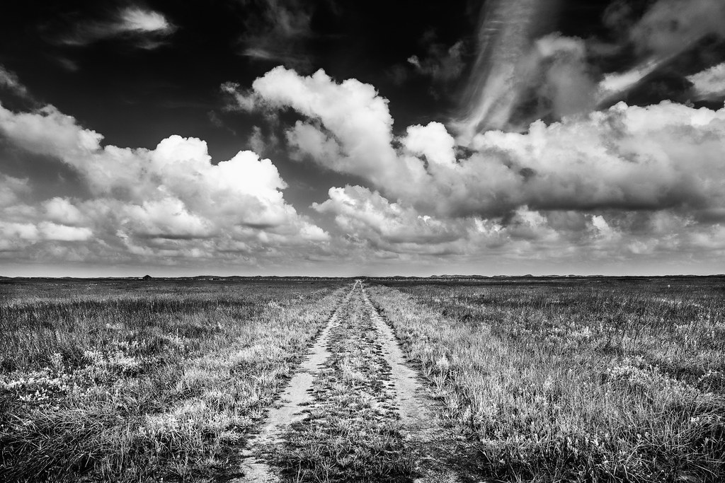
Road To The Novillo Line Camp - Padre Island National Seashore
Morning View
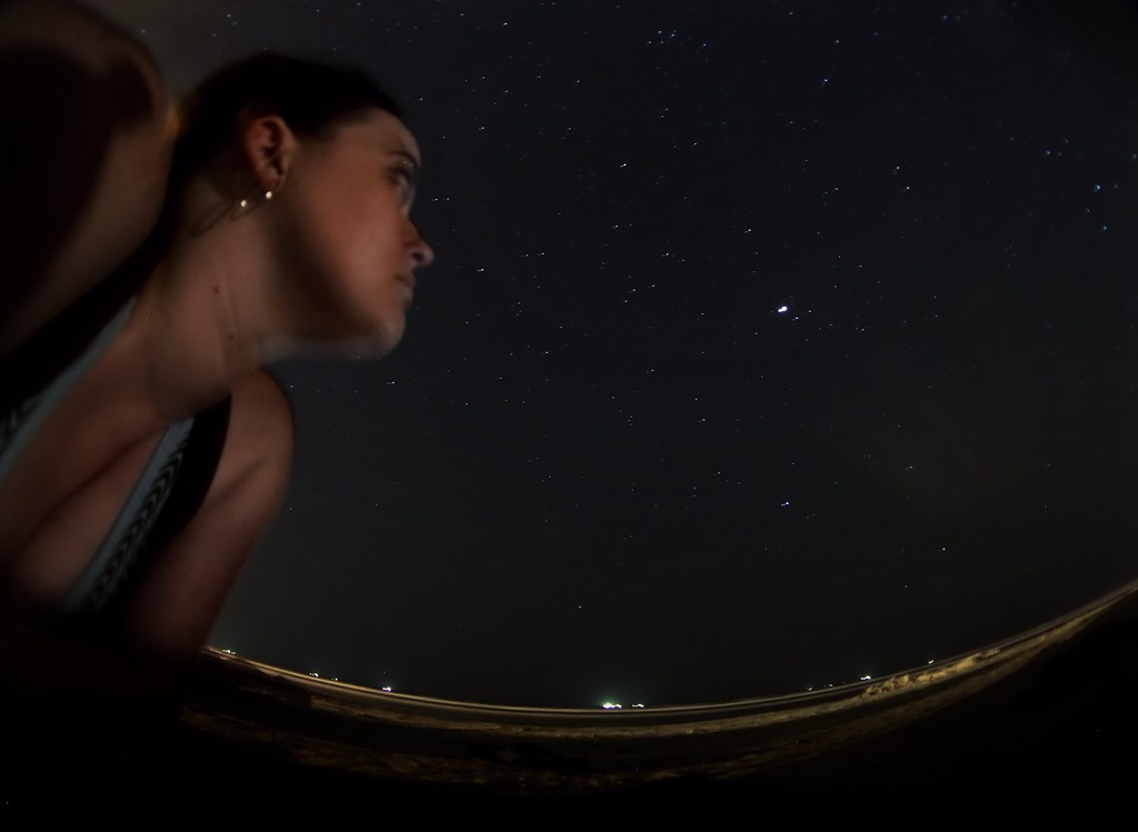
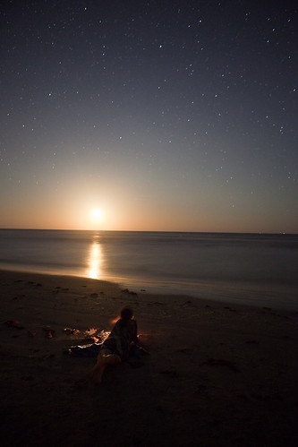
39/52 - Under The Milky Way

Greg's Balcony
2nd Leg

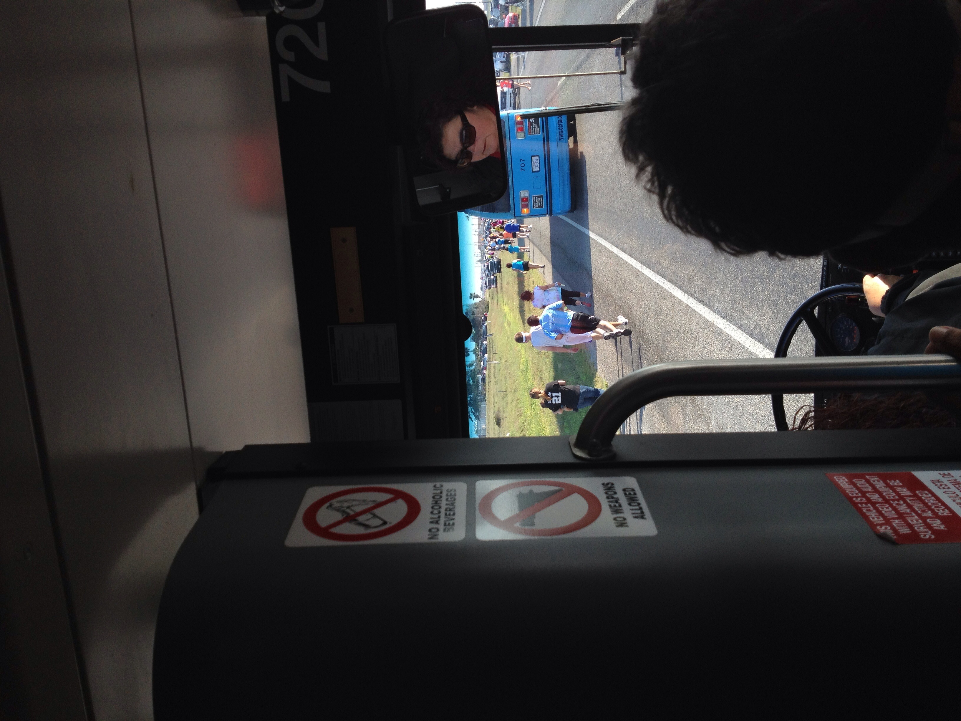
On Your Mark, Get Set, Go!
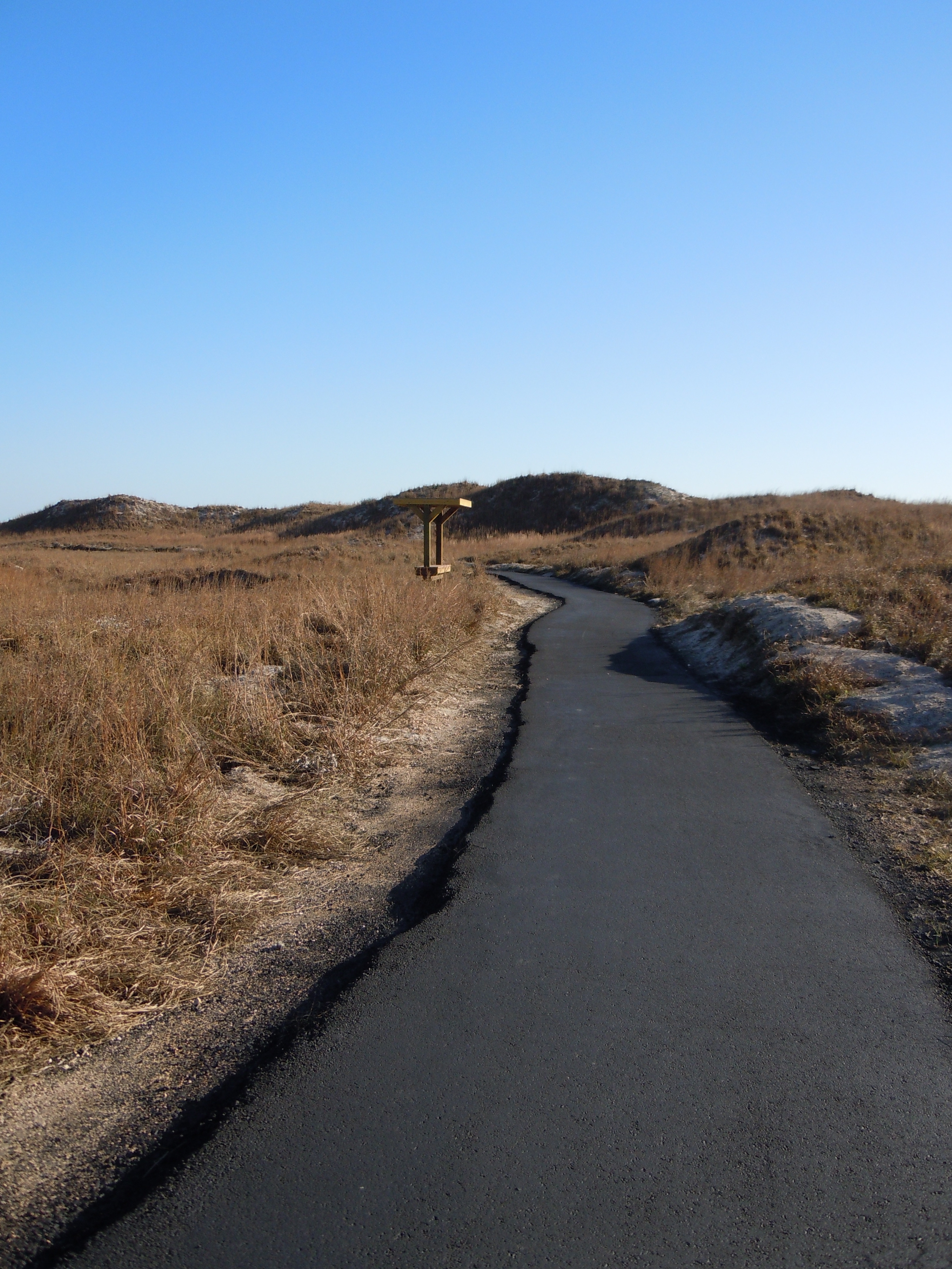
They Paved Paradise

the sea is just a wetter version of the skies
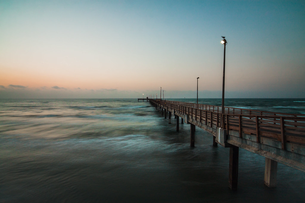
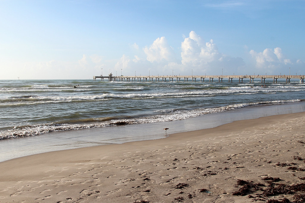
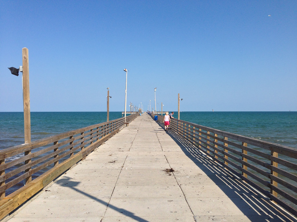
Bob Hall Pier
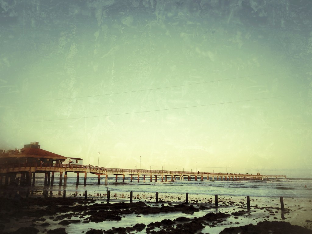
Bob Hall Pier
beach trip w. thanh nien 6/23/2013
Heading Home

Bob Hall Beach

Bob Hall Beach-Padre Island
<8

Clouds rolling in on San Pedro
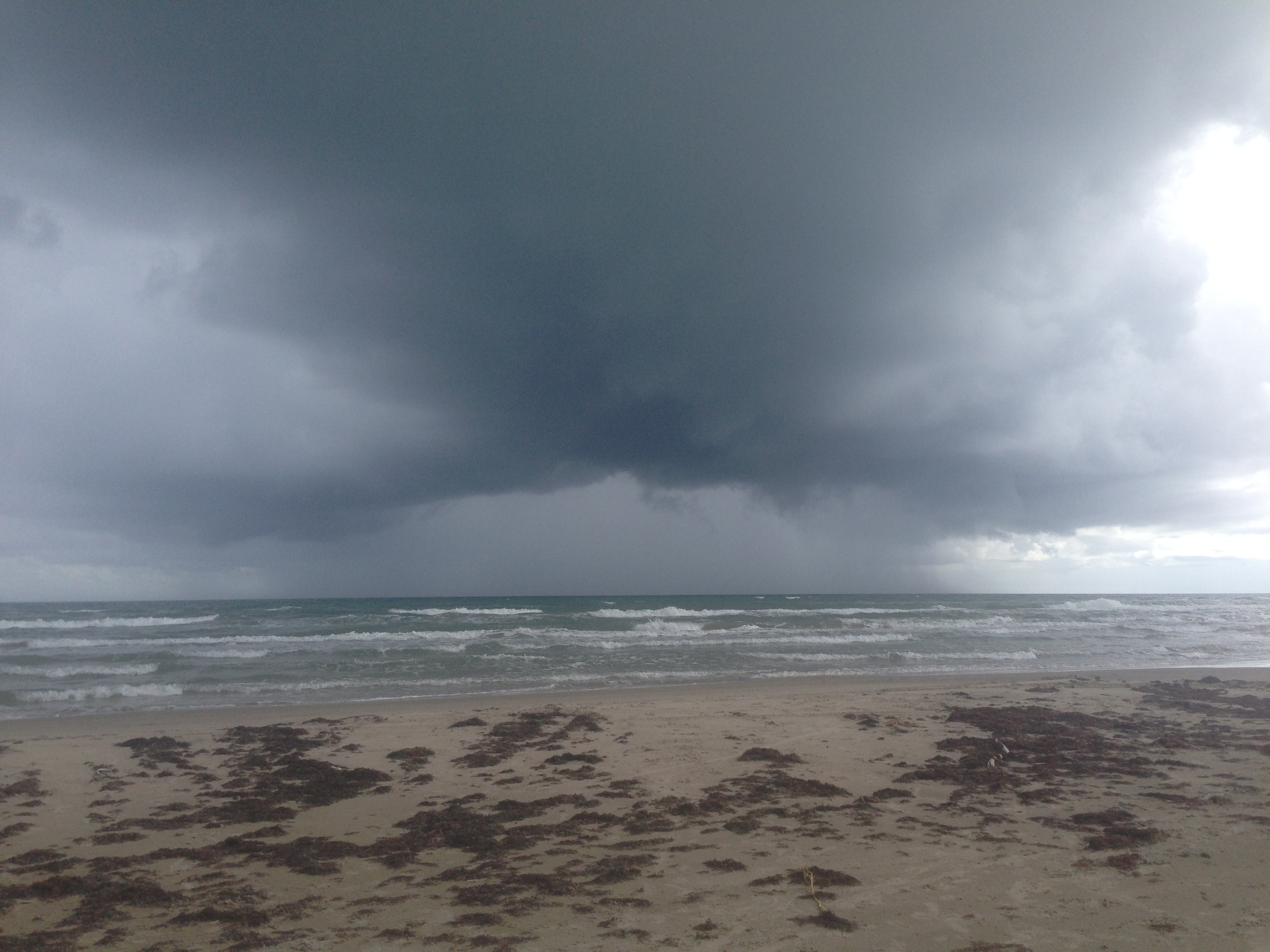
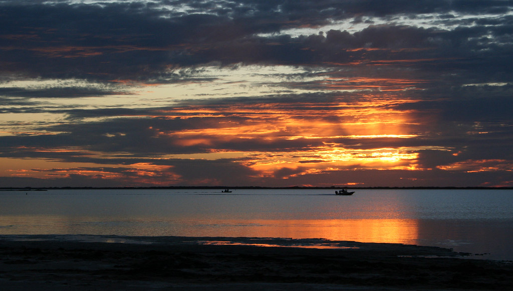
Storm over the Gulf of Mexico from Padre Island
Bob Hall Pier 8
Padre Island National Seashore
two leprechauns

beach trip w. thanh nien 6/23/2013

Bob Hall Pier 1
Topographic Map of Padre Island, Texas, USA
Find elevation by address:

Places near Padre Island, Texas, USA:
S Padre Island Dr, Corpus Christi, TX, USA
14238 Cabo Blanco
14154 La Blanquilla Dr
15373 Isabella Ct
13941 Fortuna Bay Dr
13901 Mingo Cay Ct
Finistere Street
Summit Drive
15418 Gypsy St
15246 Main Royal Dr
15057 Tesoro Dr
15045 Tesoro Dr
15042 Reales Dr
15034 Reales Dr
3942 Herring Dr
14153 Bounty Ave
13818 Flintlock Dr
15118 Aquarius St
13929 Jacktar St
13805 Jolly Roger St
Recent Searches:
- Elevation of Woodland Oak Pl, Thousand Oaks, CA, USA
- Elevation of Brownsdale Rd, Renfrew, PA, USA
- Elevation of Corcoran Ln, Suffolk, VA, USA
- Elevation of Mamala II, Sariaya, Quezon, Philippines
- Elevation of Sarangdanda, Nepal
- Elevation of 7 Waterfall Way, Tomball, TX, USA
- Elevation of SW 57th Ave, Portland, OR, USA
- Elevation of Crocker Dr, Vacaville, CA, USA
- Elevation of Pu Ngaol Community Meeting Hall, HWHM+3X7, Krong Saen Monourom, Cambodia
- Elevation of Royal Ontario Museum, Queens Park, Toronto, ON M5S 2C6, Canada