Elevation of Summit Drive, Summit Dr, Corpus Christi, TX, USA
Location: United States > Texas > Nueces County > Corpus Christi > Flour Bluff >
Longitude: -97.299228
Latitude: 27.6140938
Elevation: -10000m / -32808feet
Barometric Pressure: 295KPa
Elevation Map:
Satellite Map:
Related Photos:

Day 4, Royal Terns & Laughng Gulls

Silhouetted kids
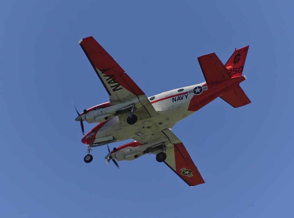
Navy Beech T-44

Visiting a friend's rental house for the weekend. However, things have drastically changed. Now that we have experienced the view, the boat, the jeep, big TV, comfy bed...long list... I have now peed off the dock, thus marking my territory, and have ena
Lost Again?

SSFCU- Everhart Branch

Good Day Sunshine

signs make good photography subjects

54.365

96.365

Day 4, Sanderling, Mustang Island State Park

Laguna Madre

Oso Bay, NAS & Corpus Christi

Sunrise Mall Grand Opening

61.365

Nighttime Reflection

New Years 2010

58.365 The Hoard

The Solitary Tree
109.365

The talent

Tricolored Heron (Egretta tricolor)

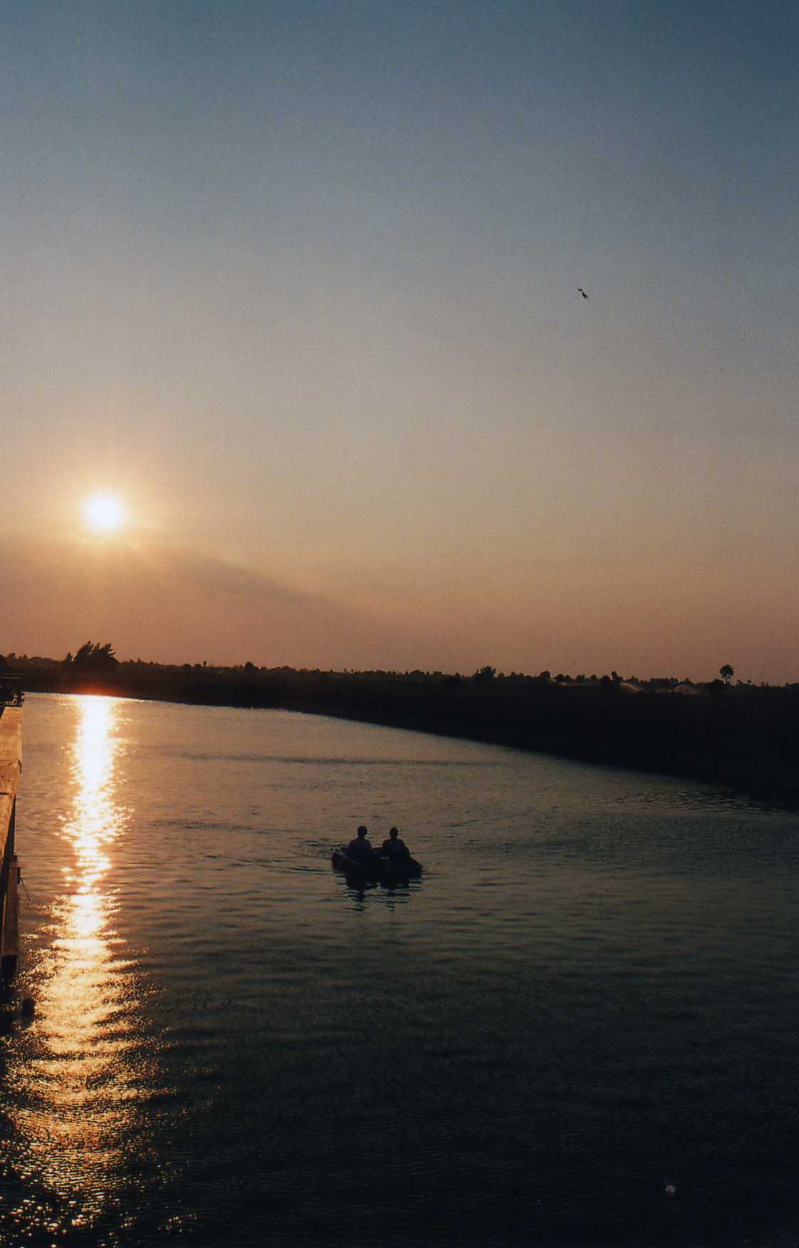
Corpus Christi Pier Sunset

Mustang Island State Park

Crashing waves

12Mar14 Spring Break-145

beach chair

Long Amplitude Current Ripples

Seaweed #nofilter @sameg14-style
Sun goes down at S. Padre

Mustang Island State Park Memorial Day weekend 2016

USA - Texas - Mustang Island State Park

Beach sunrise

8/23/06

Help Name Me - comment

Wading home

photo (11)

Bridge to the Sea

Padre Island Sunset

The Sunset City: 8/15/09

Snoopy's Pier
Topographic Map of Summit Drive, Summit Dr, Corpus Christi, TX, USA
Find elevation by address:

Places near Summit Drive, Summit Dr, Corpus Christi, TX, USA:
3942 Herring Dr
3025 Herring Dr
221 Clearview Dr
222 Riviera Dr
3606 Shore Dr
3602 Shore Dr
Riverdale Drive
3518 Laguna Shores Rd
3705 Holland Dr
3329 Samoa Dr
560 S Bayberry Pl
346 Oakdale Dr
405 Trinidad Dr
335 Dagger Island Dr
336 Dagger Island Dr
Laguna Shores Road
813 St Phillip Ct
809 St Dominic Ct
617 Airdome Dr
634 Aristocrat Dr
Recent Searches:
- Elevation of 2 Henschke Ct, Caboolture QLD, Australia
- Elevation of Redondo Ave, Long Beach, CA, USA
- Elevation of Sadovaya Ulitsa, 20, Rezh, Sverdlovskaya oblast', Russia
- Elevation of Ulitsa Kalinina, 79, Rezh, Sverdlovskaya oblast', Russia
- Elevation of 72-31 Metropolitan Ave, Middle Village, NY, USA
- Elevation of 76 Metropolitan Ave, Brooklyn, NY, USA
- Elevation of Alisal Rd, Solvang, CA, USA
- Elevation of Vista Blvd, Sparks, NV, USA
- Elevation of 15th Ave SE, St. Petersburg, FL, USA
- Elevation of Beall Road, Beall Rd, Florida, USA