Elevation of Pacific Ave #, Moclips, WA, USA
Location: United States > Washington > Grays Harbor County > Moclips >
Longitude: -124.21664
Latitude: 47.2402462
Elevation: 8m / 26feet
Barometric Pressure: 101KPa
Elevation Map:
Satellite Map:
Related Photos:
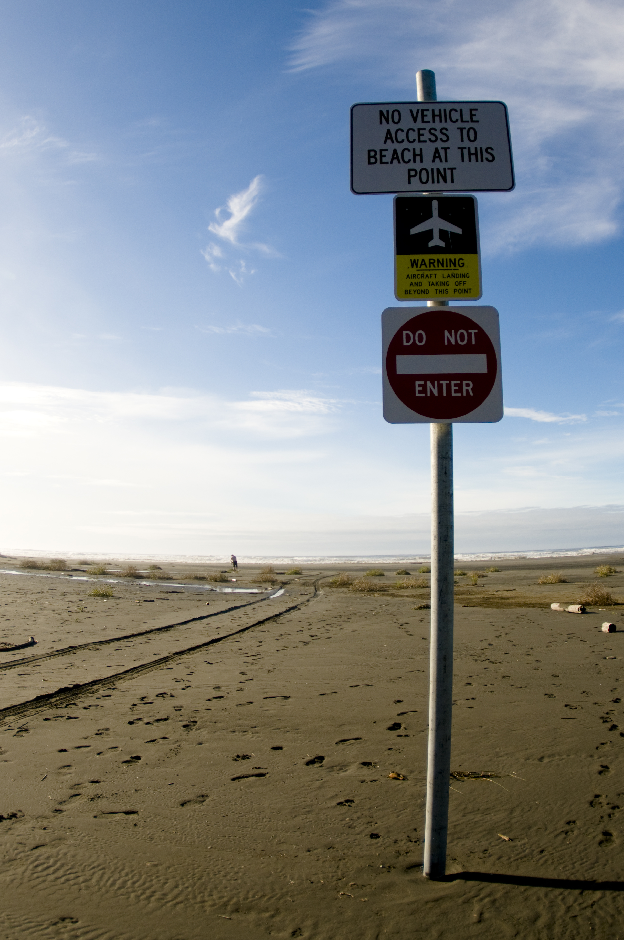
Pacific Beach, WA

Point Grenville, Washington, March 2014

Pacirfic Beach WA Sunset01 - Painting
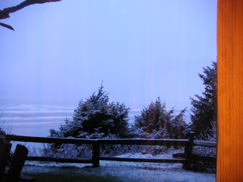
Snowing when we arrived
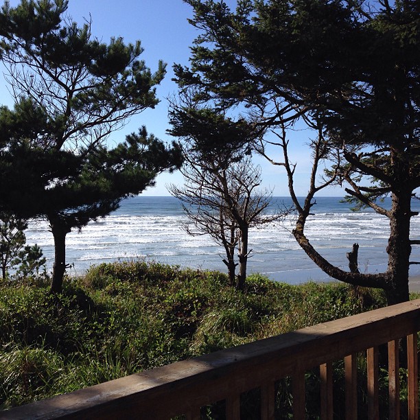
Nice view.
Cottage view-01
Breakfast view #1
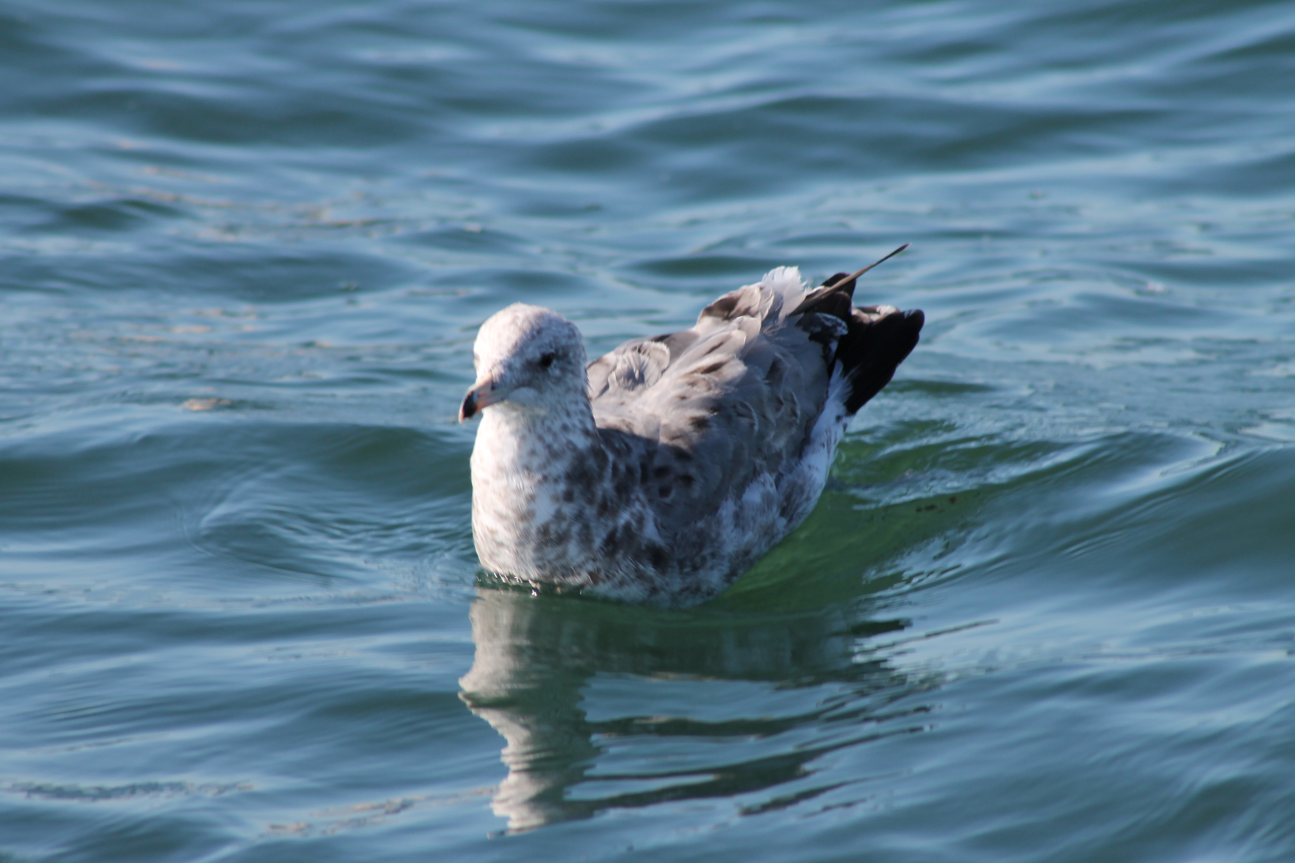
Juvenile California Gull
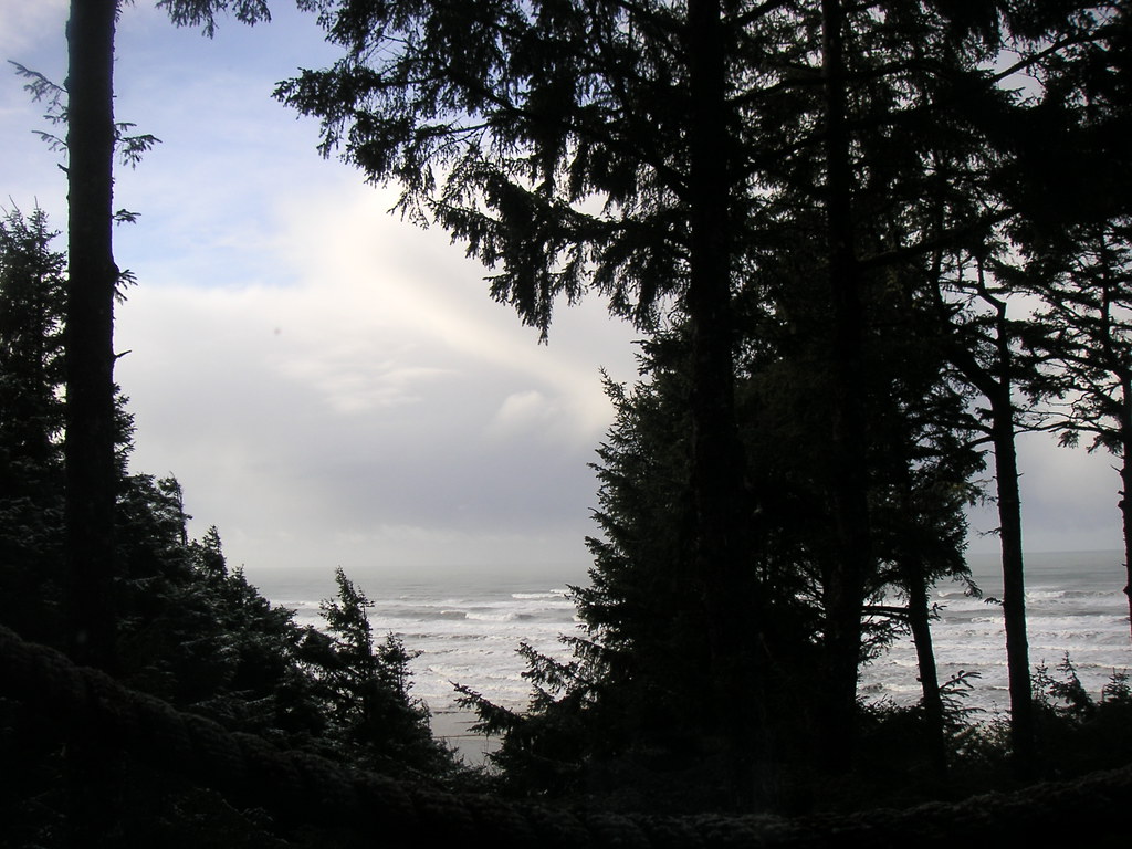
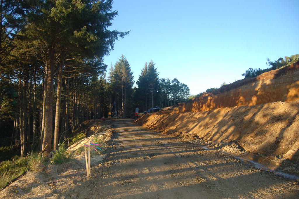
View from Lot 153 North
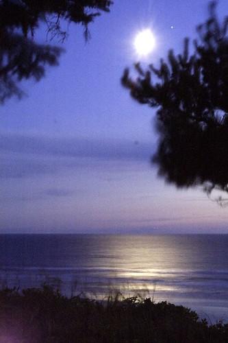
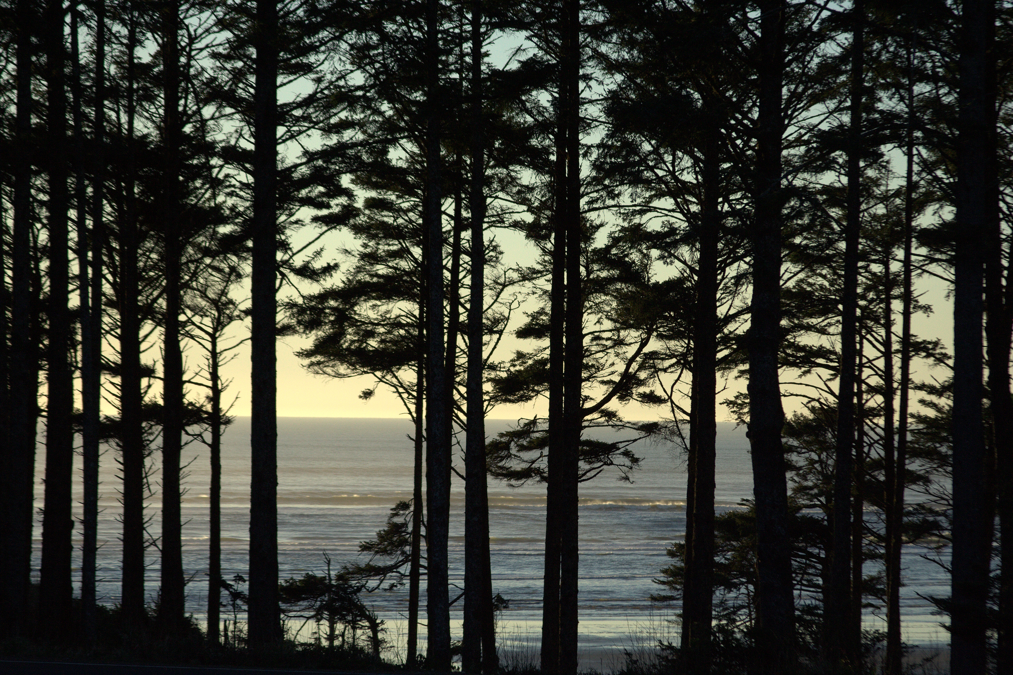
Between Thought and Light
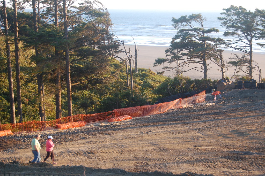
View from Lot 152 East to the Cafe
View to the South
View West from Lot 153
Living room view
View from Lot 154 North
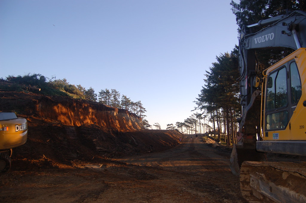
View of Lots 150-152
View from Lot 162 South
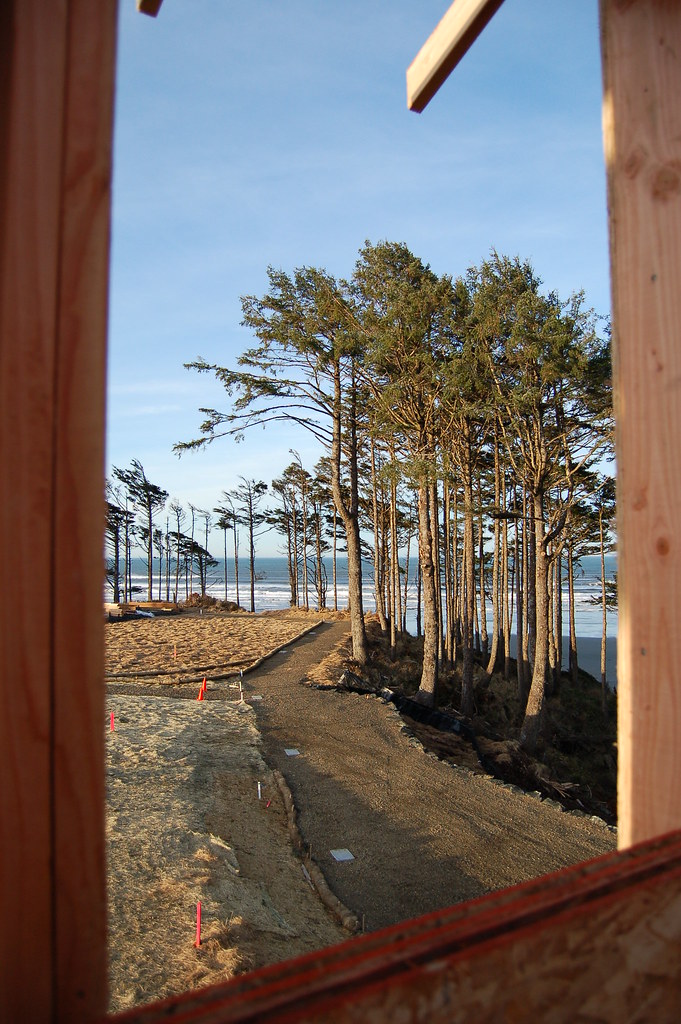
View from Lot 157 Window

Copalis Beach, WA
View from my tent, Pacific Beach Campground
View of Sunset from Cafe
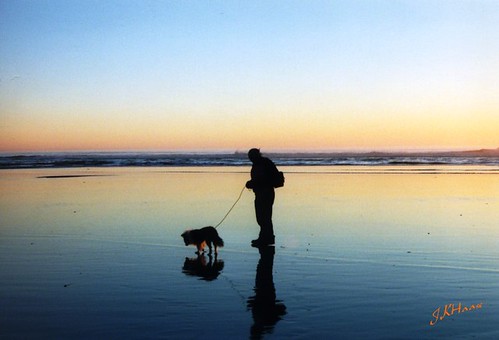
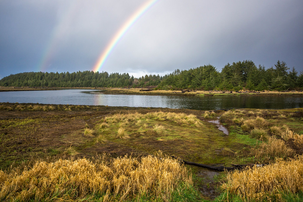
Reflecting Back
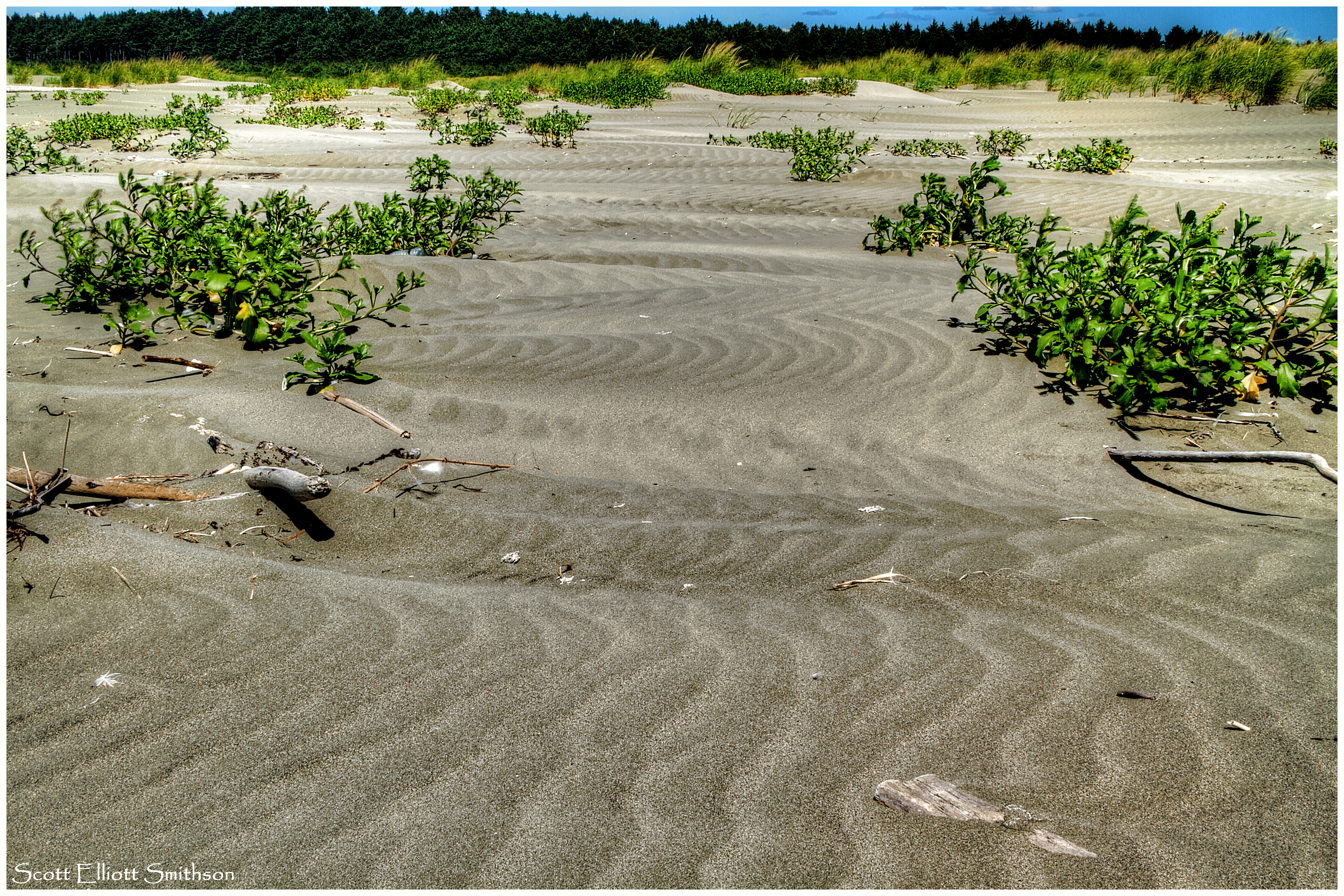
Sand Waves
What Does It Mean?!!!

Sunset at Iron Springs Resort

Sunset at Iron Springs Resort
This, planet

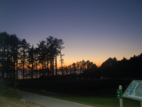
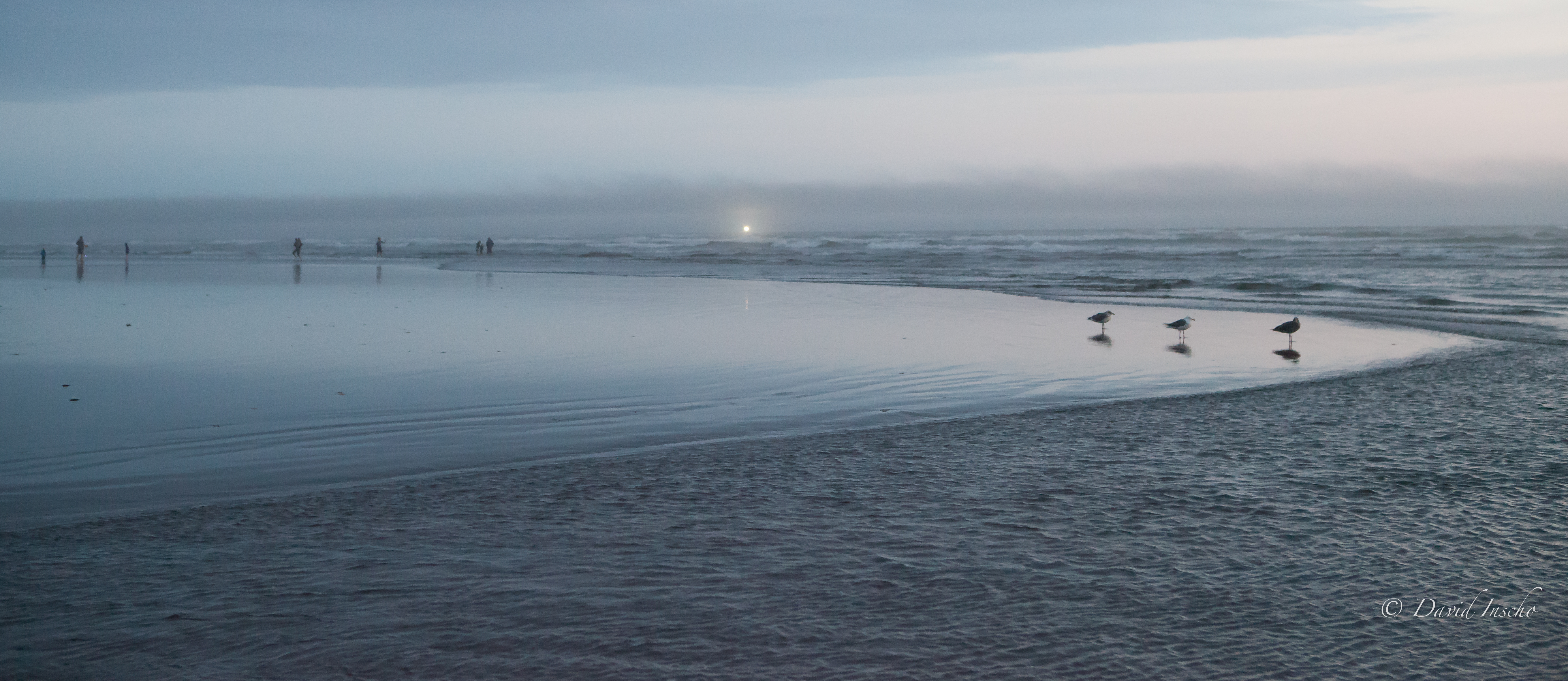
Sunset at Copalis Beach
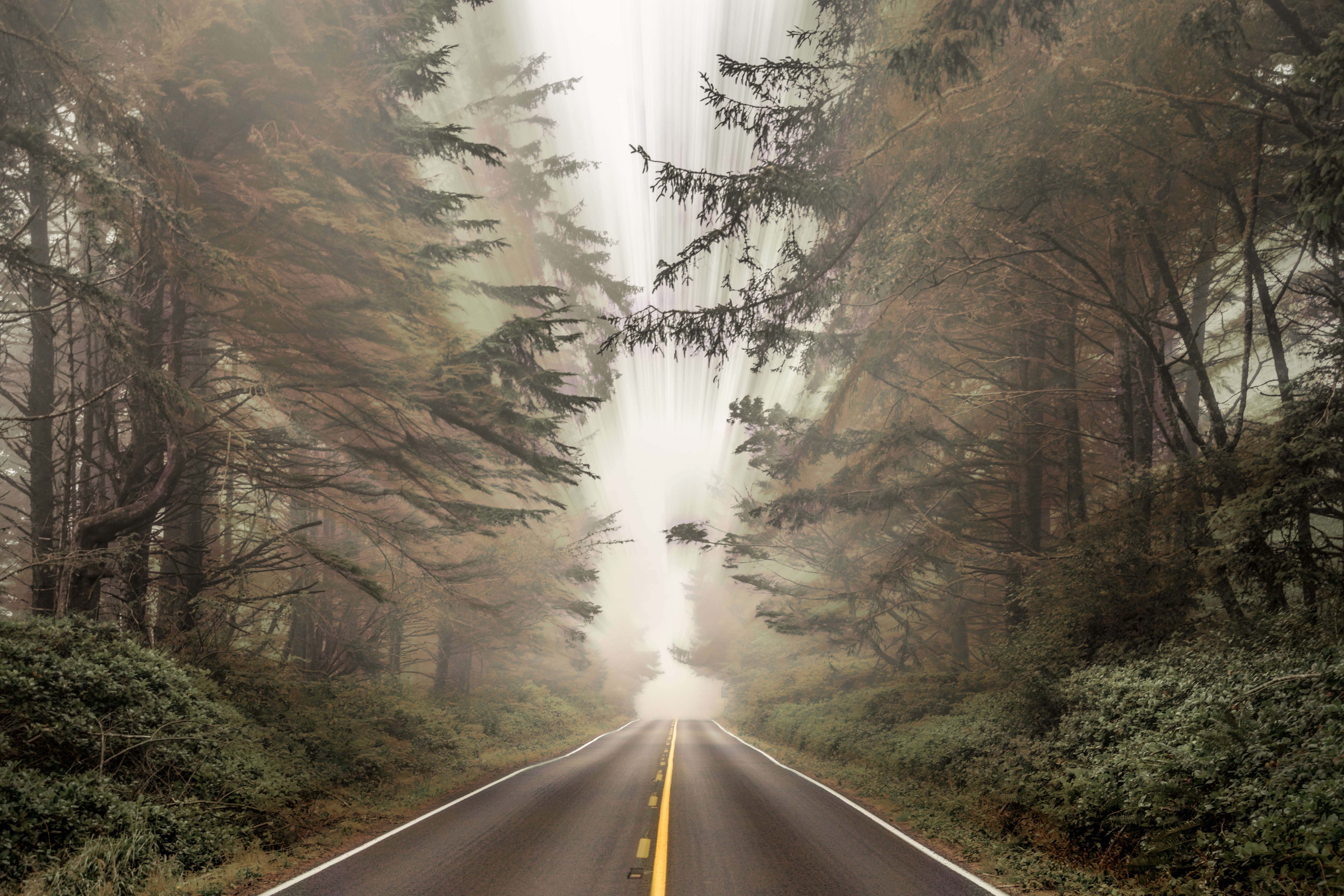
Route 109
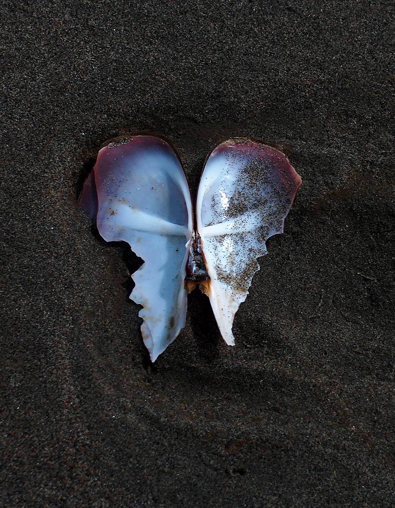
On Angel's Wings

Sunset at Iron Springs Resort

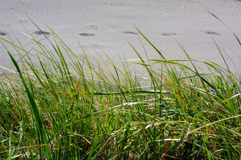
Sea Grass at Copalis Beach

Sunset at Iron Springs Resort

Trip to Moclips
IMG_1286.CR2
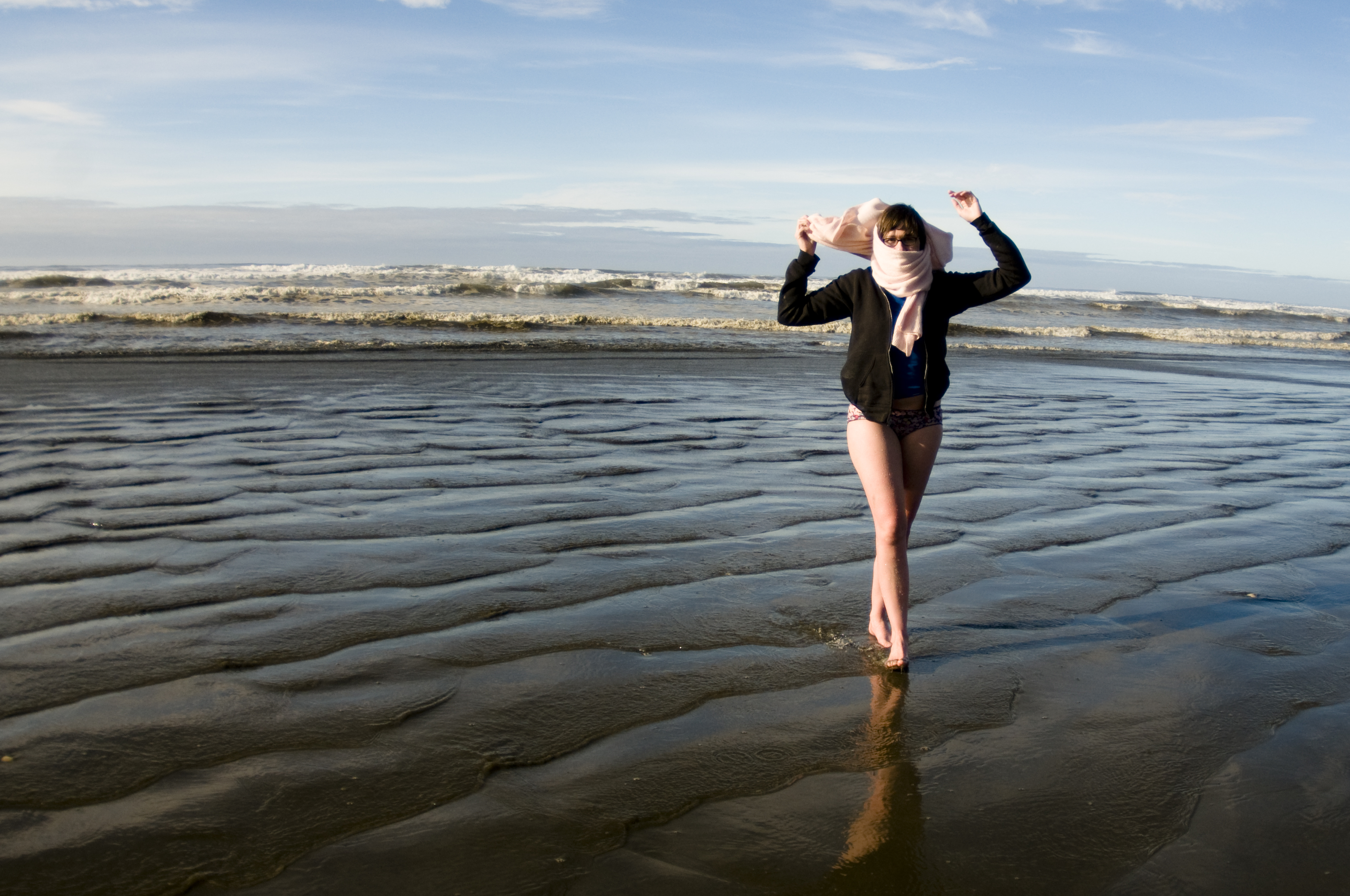
anns_30th-11
Saw this on my walk this afternoon

Sunset at Iron Springs Resort

Sunset at Iron Springs Resort
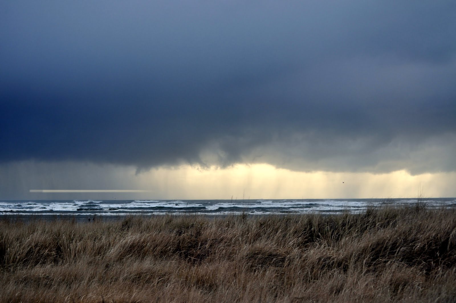
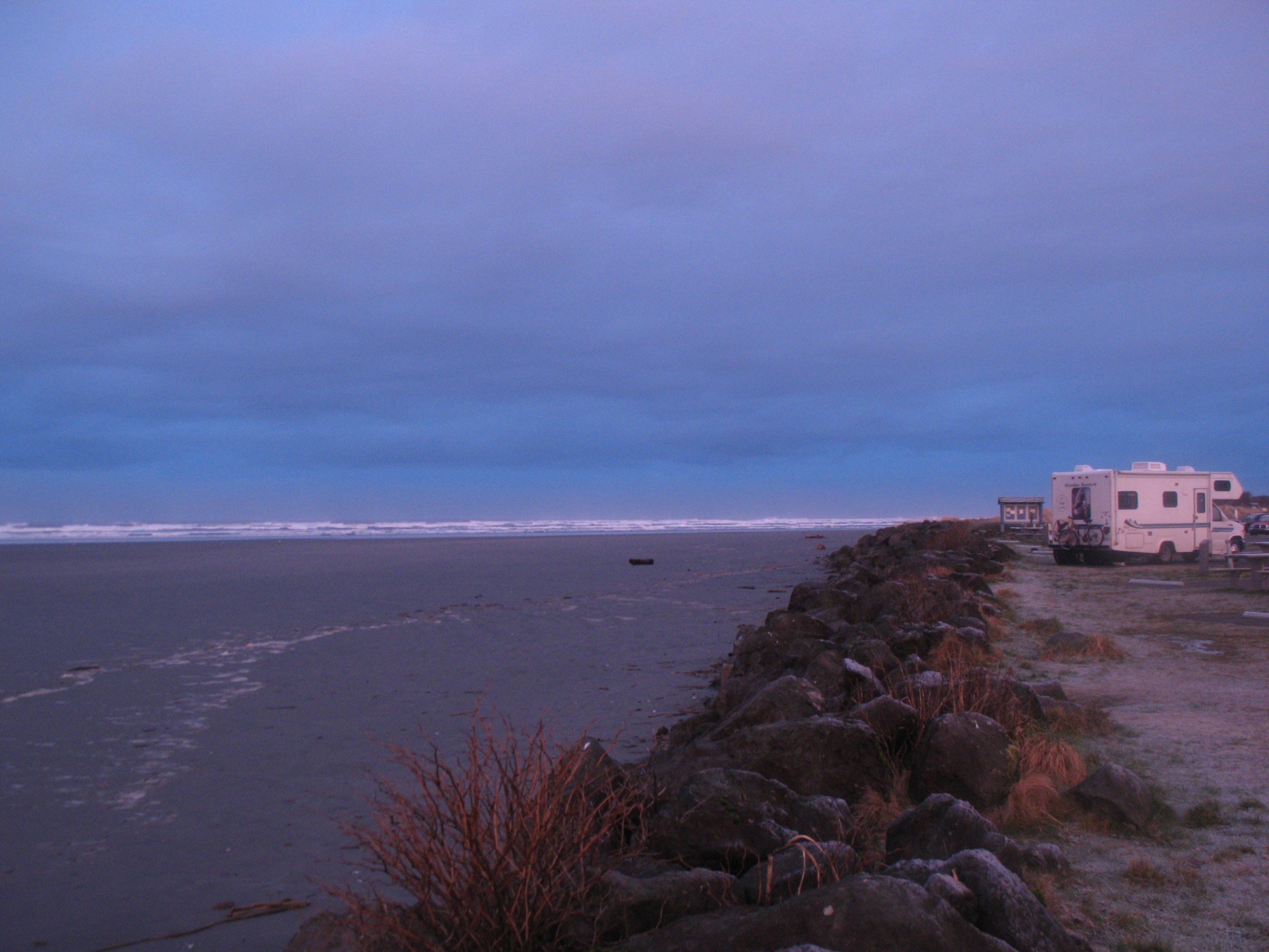
Stormy Weather
anns_30th-05
IMG_8685-
Topographic Map of Pacific Ave #, Moclips, WA, USA
Find elevation by address:

Places near Pacific Ave #, Moclips, WA, USA:
Moclips
4765 Wa-109
4765 Wa-109
4765 Wa-109
4751 Wa-109
4738 Beach Ln
4737 Wa-109
4694 Wa-109
WA-, Moclips, WA, USA
4651 Wa-109
4651 Wa-109
Ocean Crest Resort
19 Campbell Ln
19 Campbell Ln
19 Campbell Ln
19 Campbell Ln
50 Butterfly Ln
50 Butterfly Ln
50 Butterfly Ln
50 Butterfly Ln
Recent Searches:
- Elevation of Calais Dr, Del Mar, CA, USA
- Elevation of Placer Mine Ln, West Jordan, UT, USA
- Elevation of E 63rd St, New York, NY, USA
- Elevation of Elk City, OK, USA
- Elevation of Erika Dr, Windsor, CA, USA
- Elevation of Village Ln, Finleyville, PA, USA
- Elevation of 24 Oakland Rd #, Scotland, ON N0E 1R0, Canada
- Elevation of Deep Gap Farm Rd E, Mill Spring, NC, USA
- Elevation of Dog Leg Dr, Minden, NV, USA
- Elevation of Dog Leg Dr, Minden, NV, USA