Elevation map of Pčinja District, Serbia
Location: Serbia >
Longitude: 22.1430215
Latitude: 42.5836362
Elevation: 1187m / 3894feet
Barometric Pressure: 88KPa
Elevation Map:
Satellite Map:
Related Photos:
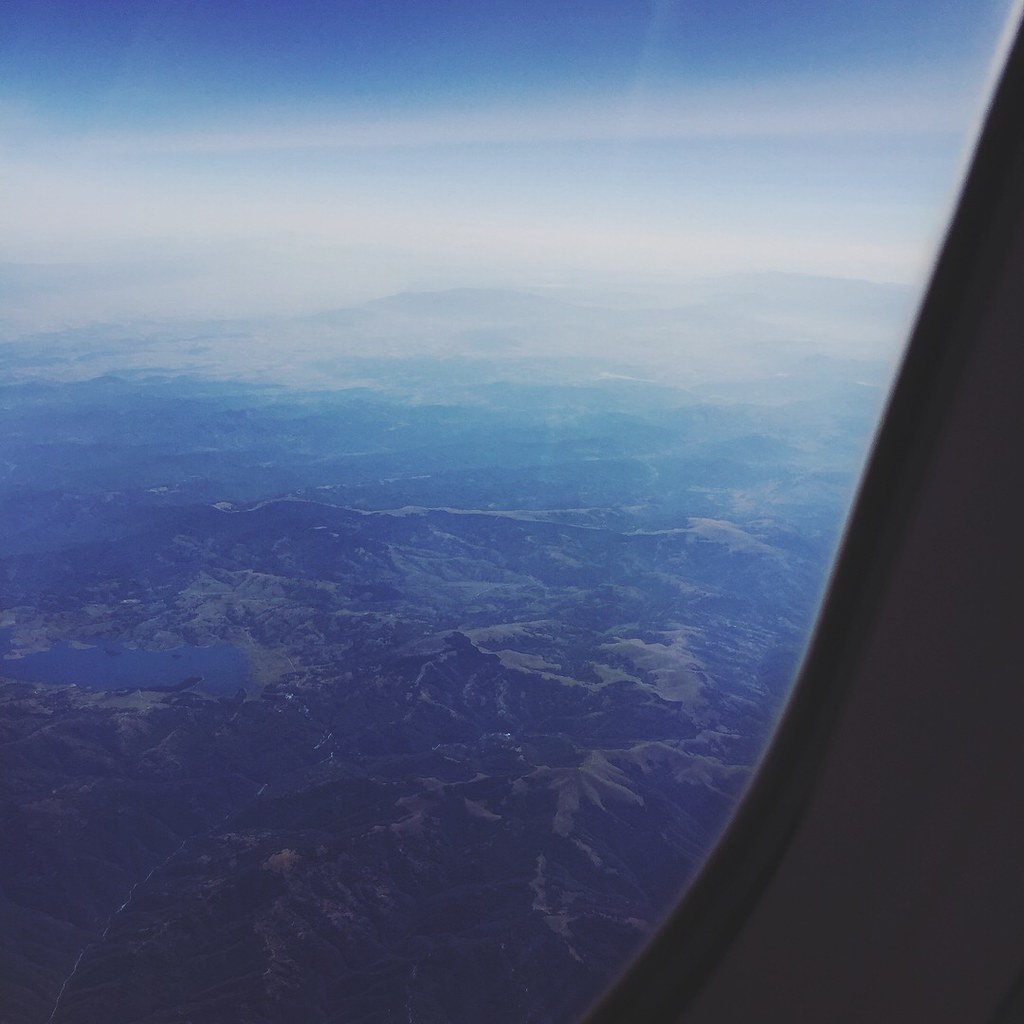
In plane we see

Besna Kobila

Agaricus allbertii - kračun,jedan od najvećih samoniklih šampinjona.

The Long And Winding Road

У подножју

444-029 with train 4903(Niš-Ristovac)
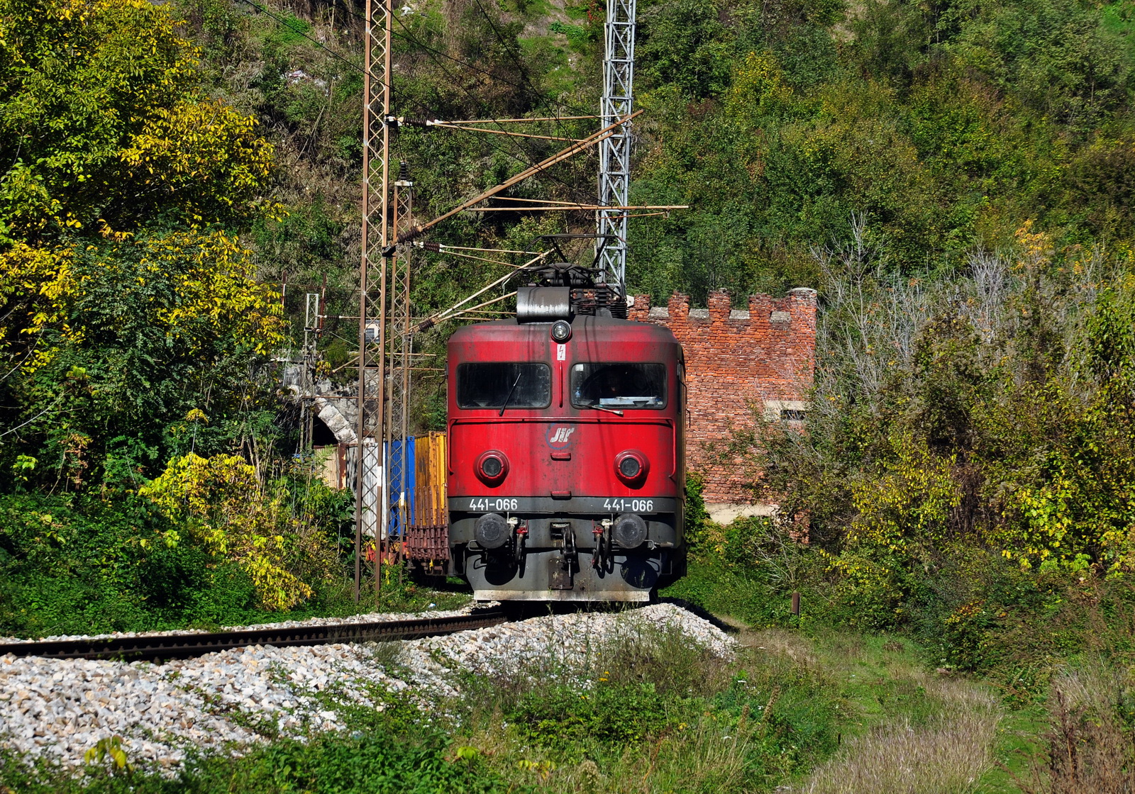
441-066 on freight train for Vranje

444-009 with freight train at Suva Morava
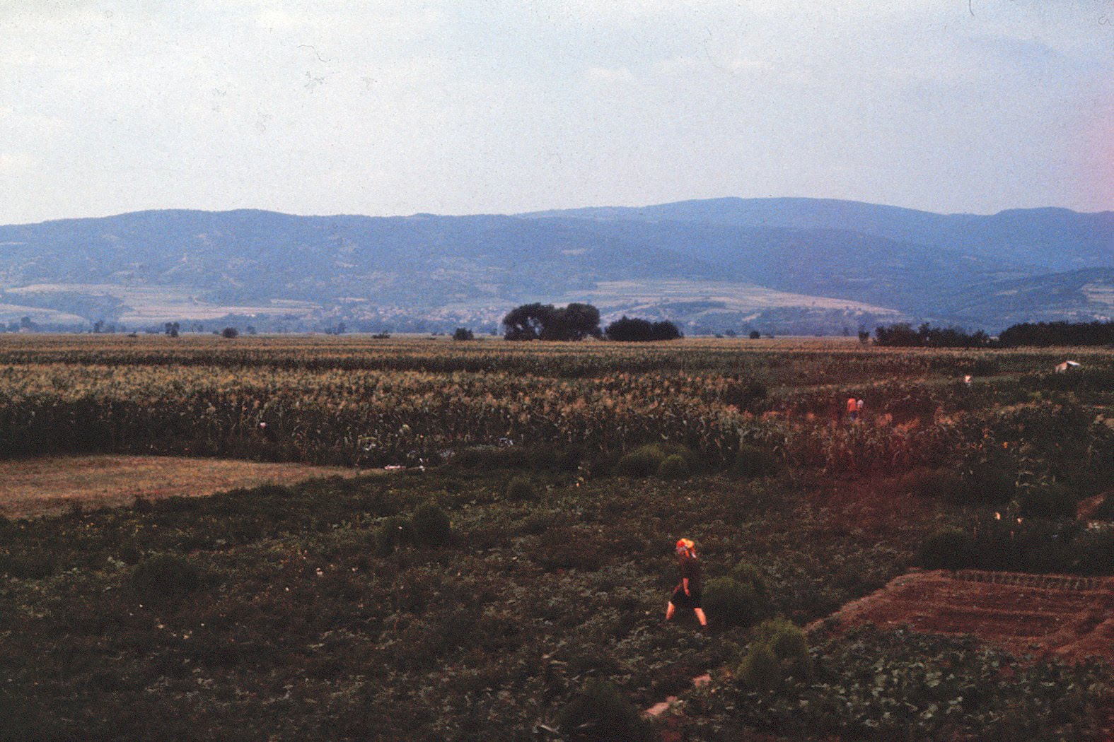
Serbia - 1979(1)
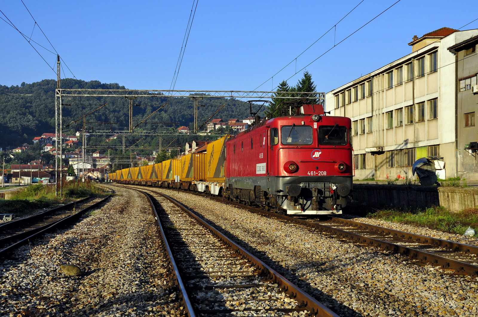
461-208 with Gartner

ZS 461-102 Vladicin Han

ZS 461-136 Vladicin Han

441-708 on 4903

461-107 on freight train for Skopje

461-107
#cerak #Beograd #ig_beograd #ig_serbia

After a good day of work #cerak #Beograd #srbija #ig_beograd #ig_serbia #sunset #skyporn

Yesterday's #sunset over #Cerak #Beograd #ig_beograd #ig_serbia #skyporn #sky

Engine drawing #sneg #renault #Beograd #serbia #ig_beograd #ig_serbia

461-201

444-017
Topographic Map of Pčinja District, Serbia
Find elevation by address:

Places in Pčinja District, Serbia:
Places near Pčinja District, Serbia:
Vranje
Germanski Rid
Bosilegrad
Leskovac
Hodonoc
Jablanica District
Ranillug
Presevo
Norča
Gnjilane District
Gjilan
Novo Brdo
Tulare
Bulevar Nemanjića
Niš
Klokot
Nišava District
Unnamed Road
Đake
Royal Green Residences
Recent Searches:
- Elevation of Congressional Dr, Stevensville, MD, USA
- Elevation of Bellview Rd, McLean, VA, USA
- Elevation of Stage Island Rd, Chatham, MA, USA
- Elevation of Shibuya Scramble Crossing, 21 Udagawacho, Shibuya City, Tokyo -, Japan
- Elevation of Jadagoniai, Kaunas District Municipality, Lithuania
- Elevation of Pagonija rock, Kranto 7-oji g. 8"N, Kaunas, Lithuania
- Elevation of Co Rd 87, Jamestown, CO, USA
- Elevation of Tenjo, Cundinamarca, Colombia
- Elevation of Côte-des-Neiges, Montreal, QC H4A 3J6, Canada
- Elevation of Bobcat Dr, Helena, MT, USA