Elevation map of Jablanica District, Serbia
Location: Serbia >
Longitude: 21.8129321
Latitude: 42.948156
Elevation: 256m / 840feet
Barometric Pressure: 98KPa
Elevation Map:
Satellite Map:
Related Photos:

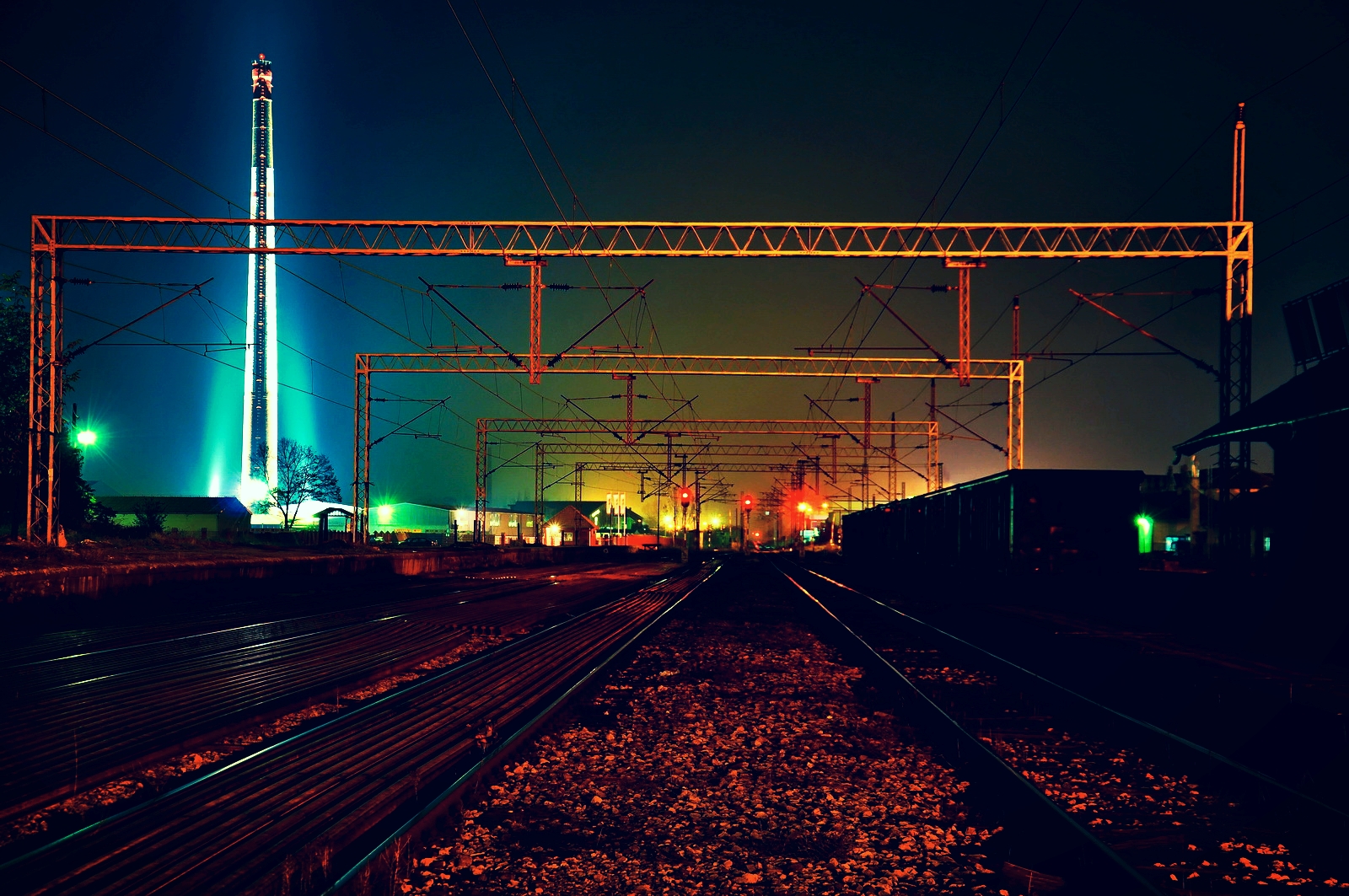
Sunrise from train :)

Bimtex products 2015

At Park Devet Jugovića
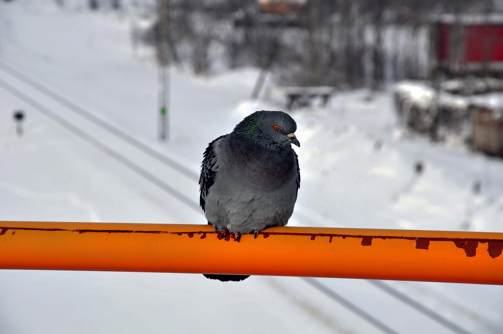
Waiting for trains :)

Greetings from cab
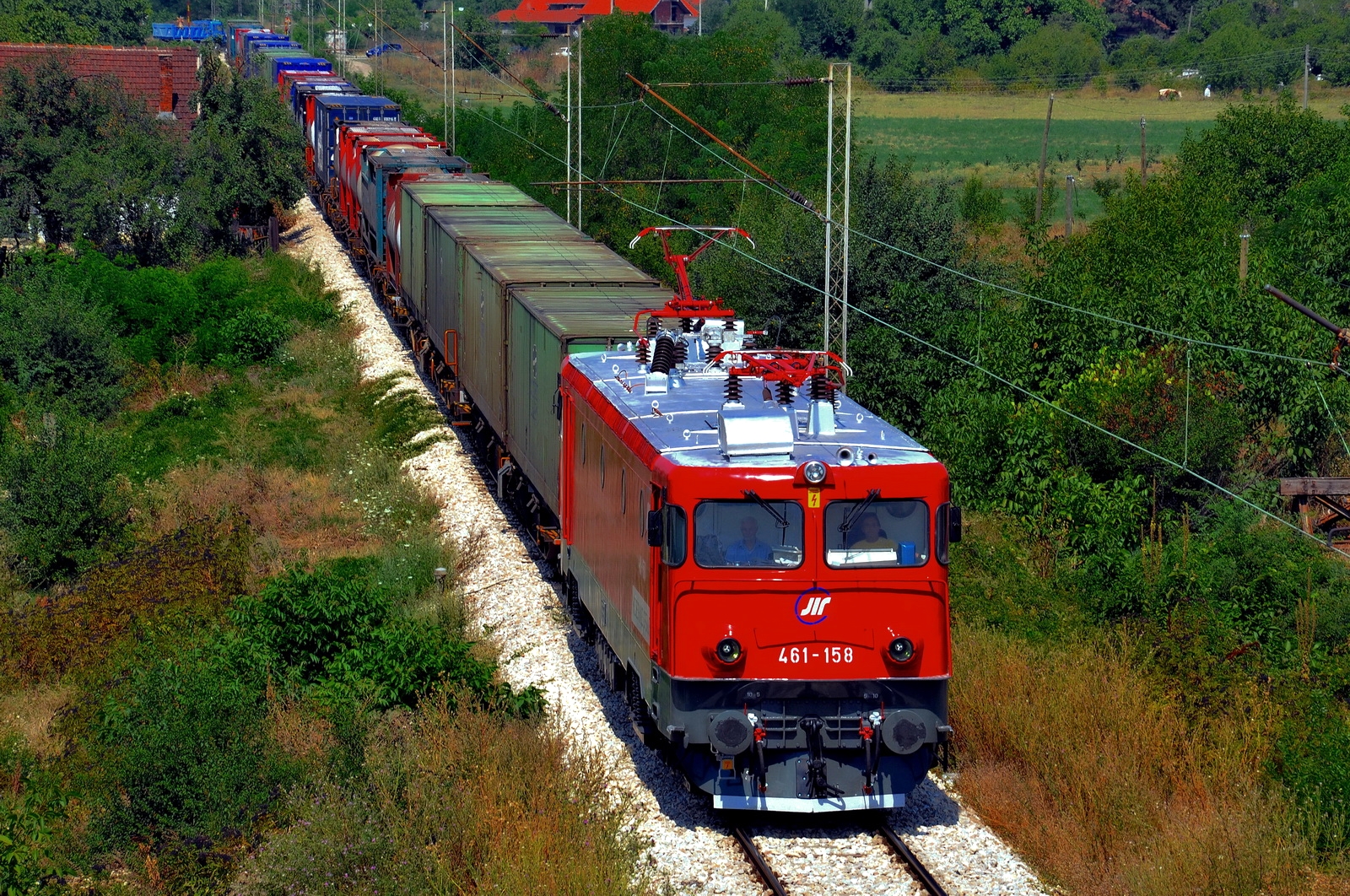
ŽS 461 158 on the test in Leskovac
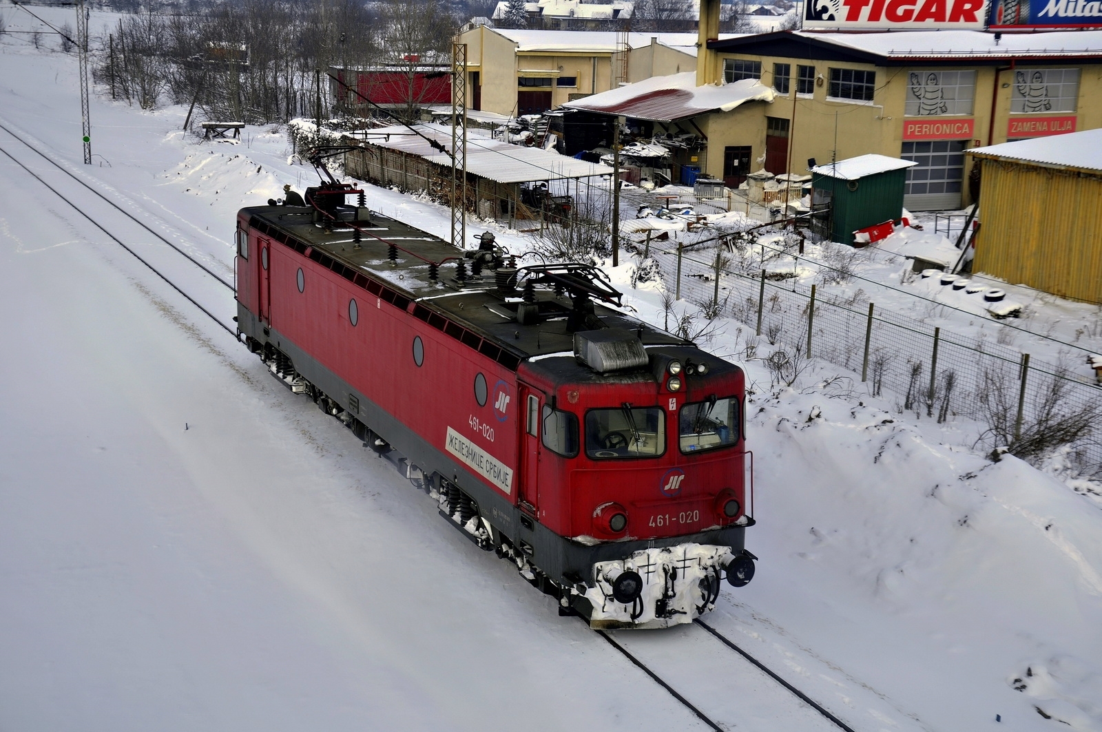
461-020
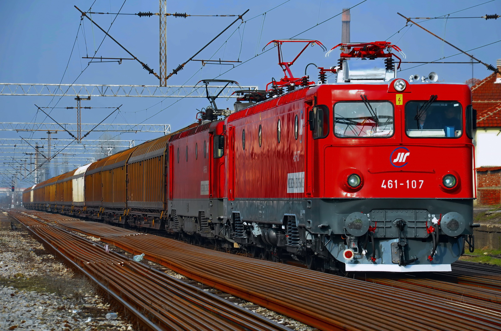
461-107 & 158

461-138 in Leskovac
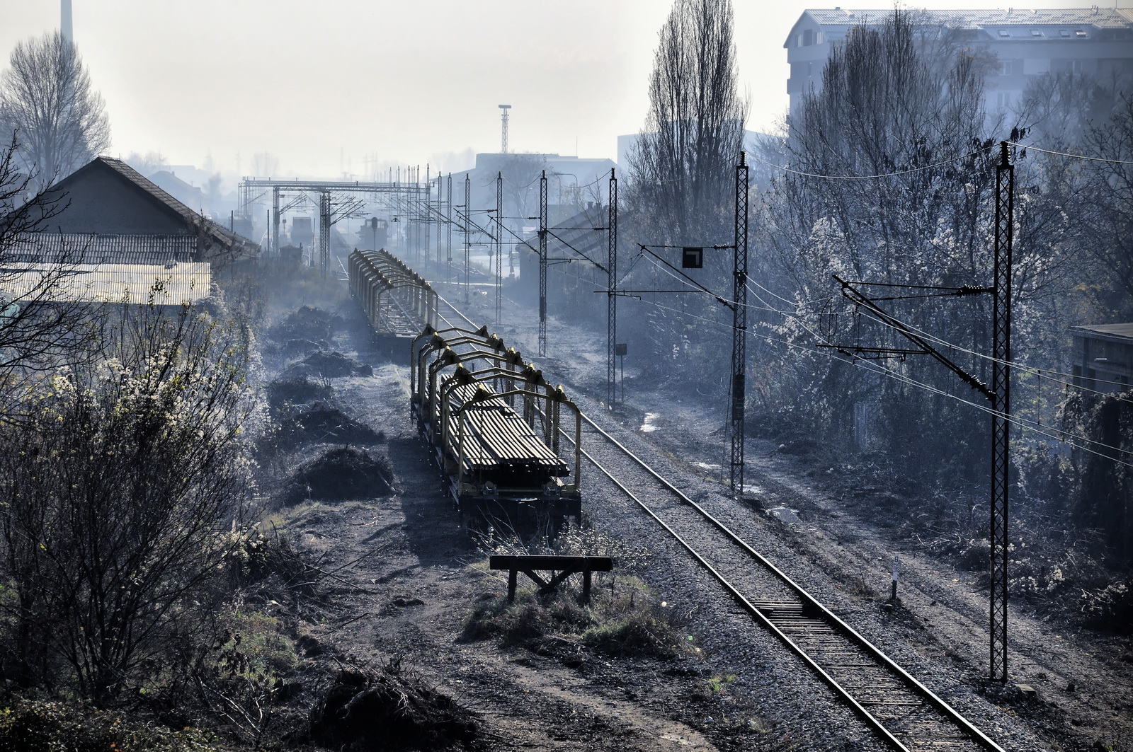
Leskovac brick tower
Little holiday for workers :)
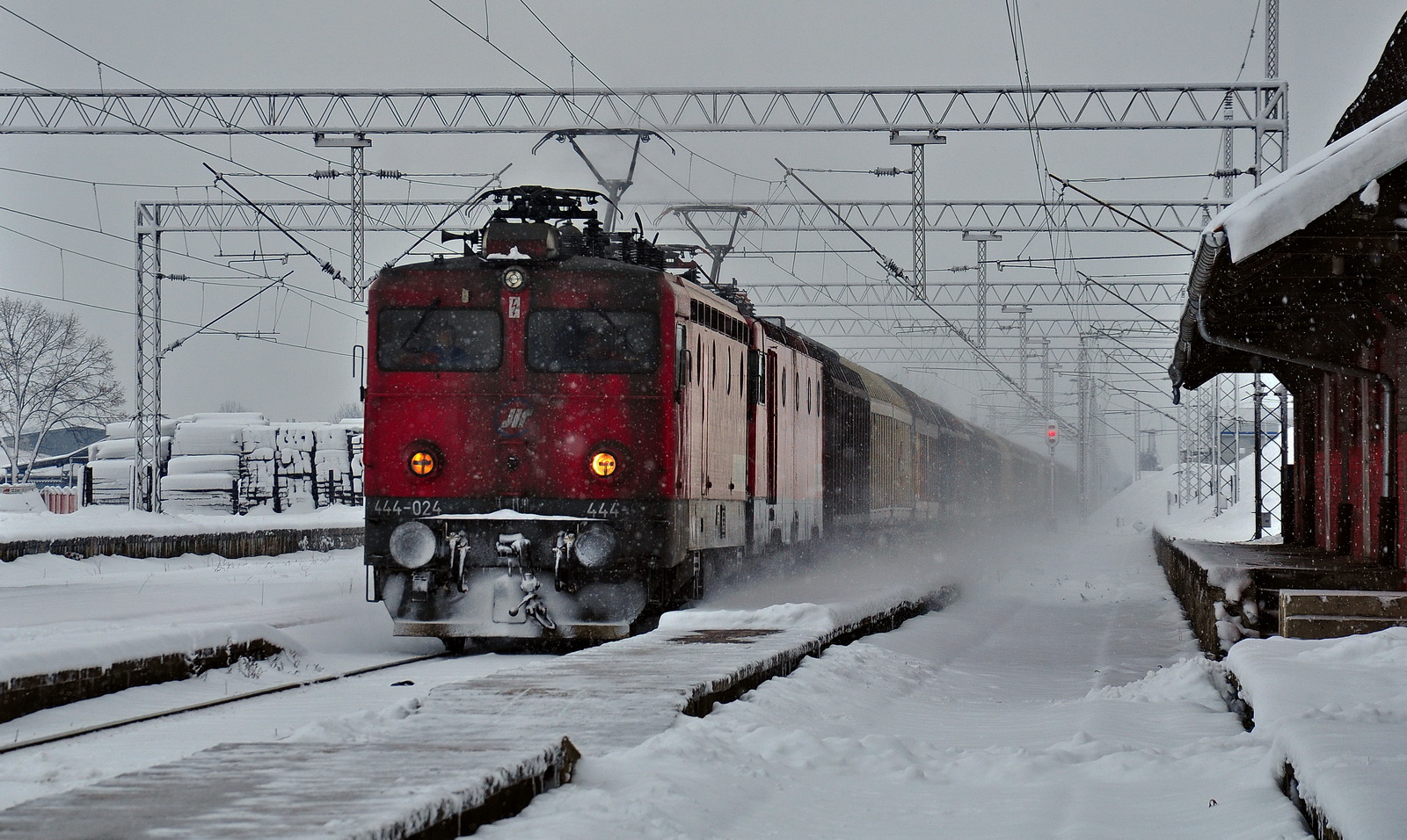
444-024 & 461-017 with freight train
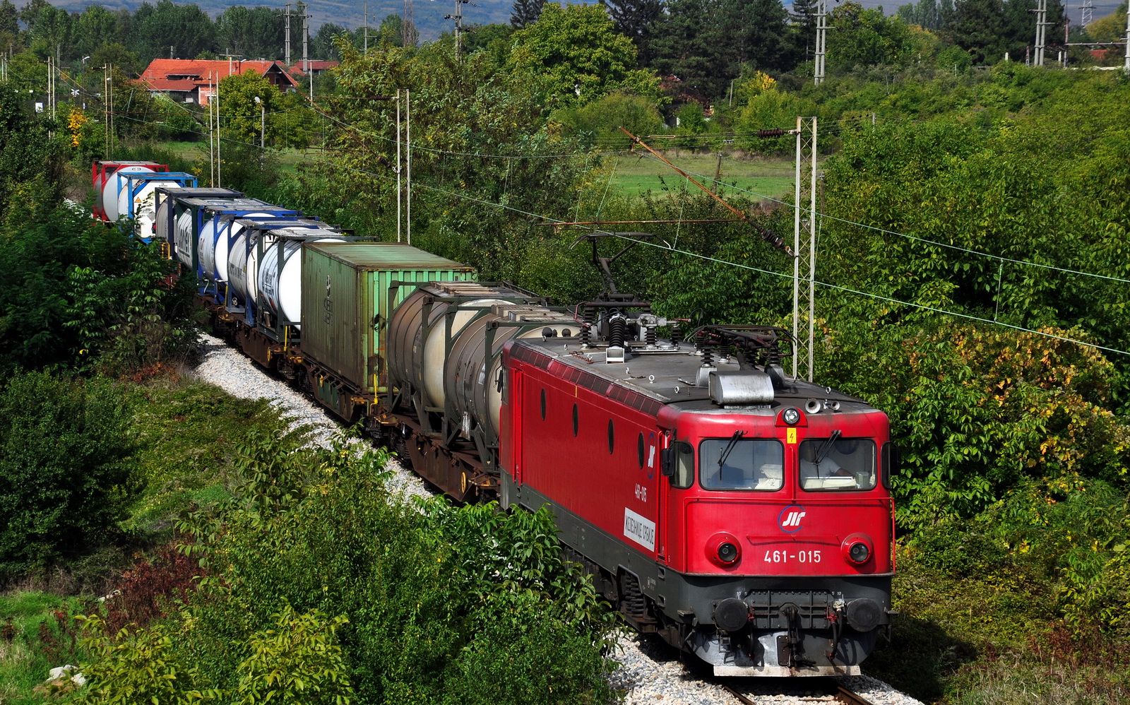
461-015 with freight for Thessaloniki
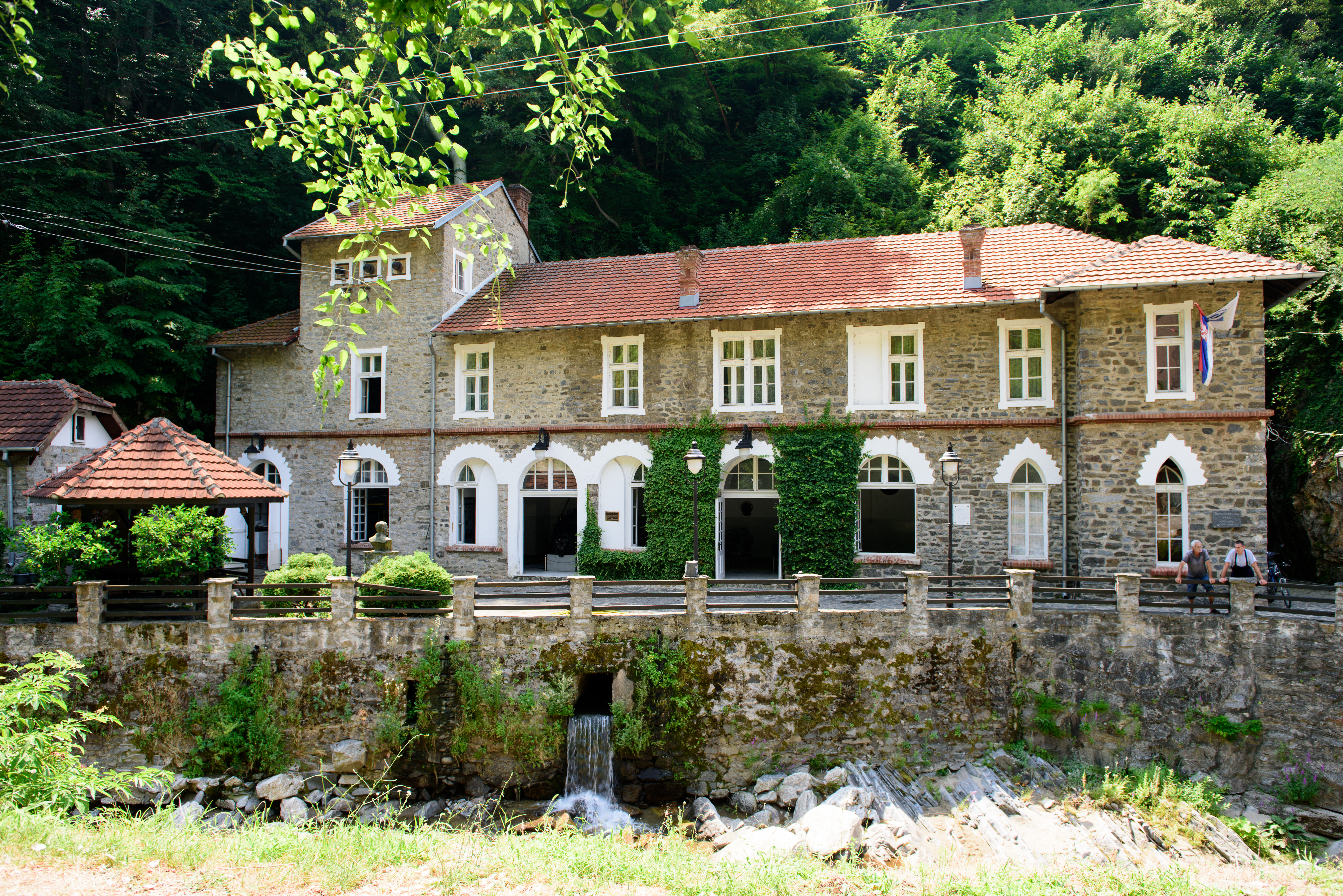
Vucje Hydroelectric plant Serbia

461-205 with Gartner

711-013/014 in Leskovac

441-708
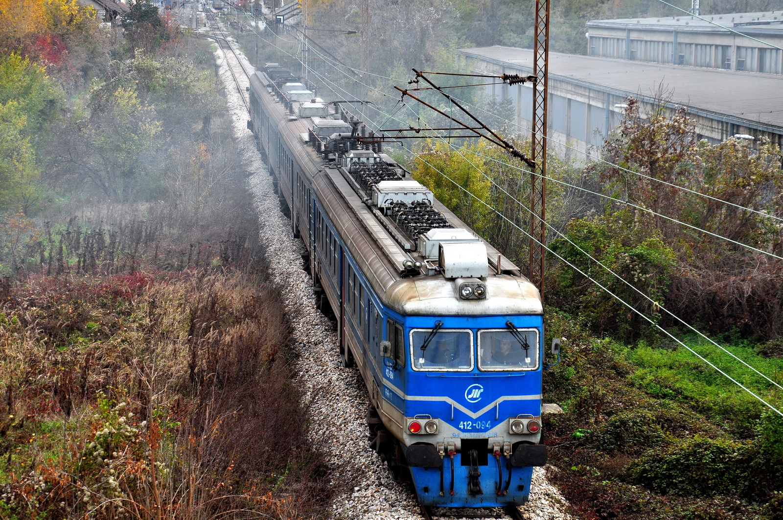
412-093/094
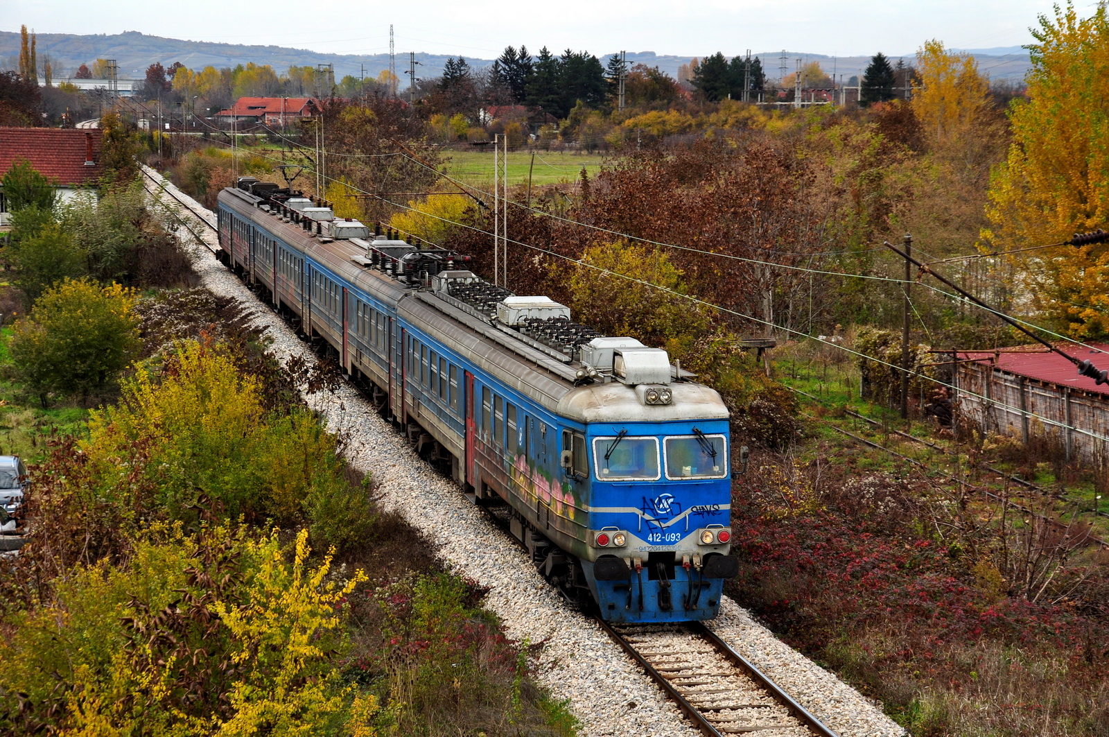
412-093/094
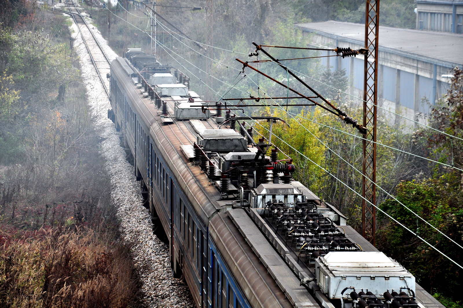
412 roof equipment

461-130

461-015

461-015 on freight train for Thessaloniki
Topographic Map of Jablanica District, Serbia
Find elevation by address:

Places in Jablanica District, Serbia:
Places near Jablanica District, Serbia:
Leskovac
Niš
Tulare
Bulevar Nemanjića
Đake
Unnamed Road
Vranje
Hodonoc
Nišava District
Pčinja District
Novo Brdo
Ranillug
Gnjilane District
Toplica District
Kuršumlija
Gjilan
Besianë
Presevo
Norča
Royal Green Residences
Recent Searches:
- Elevation of Corso Fratelli Cairoli, 35, Macerata MC, Italy
- Elevation of Tallevast Rd, Sarasota, FL, USA
- Elevation of 4th St E, Sonoma, CA, USA
- Elevation of Black Hollow Rd, Pennsdale, PA, USA
- Elevation of Oakland Ave, Williamsport, PA, USA
- Elevation of Pedrógão Grande, Portugal
- Elevation of Klee Dr, Martinsburg, WV, USA
- Elevation of Via Roma, Pieranica CR, Italy
- Elevation of Tavkvetili Mountain, Georgia
- Elevation of Hartfords Bluff Cir, Mt Pleasant, SC, USA