Elevation of Oyler Rd, Ethel, WA, USA
Location: United States > Washington > Lewis County > Ethel >
Longitude: -122.76159
Latitude: 46.5298315
Elevation: 136m / 446feet
Barometric Pressure: 100KPa
Elevation Map:
Satellite Map:
Related Photos:

The Largest Egg in the World

The Road from Winlock
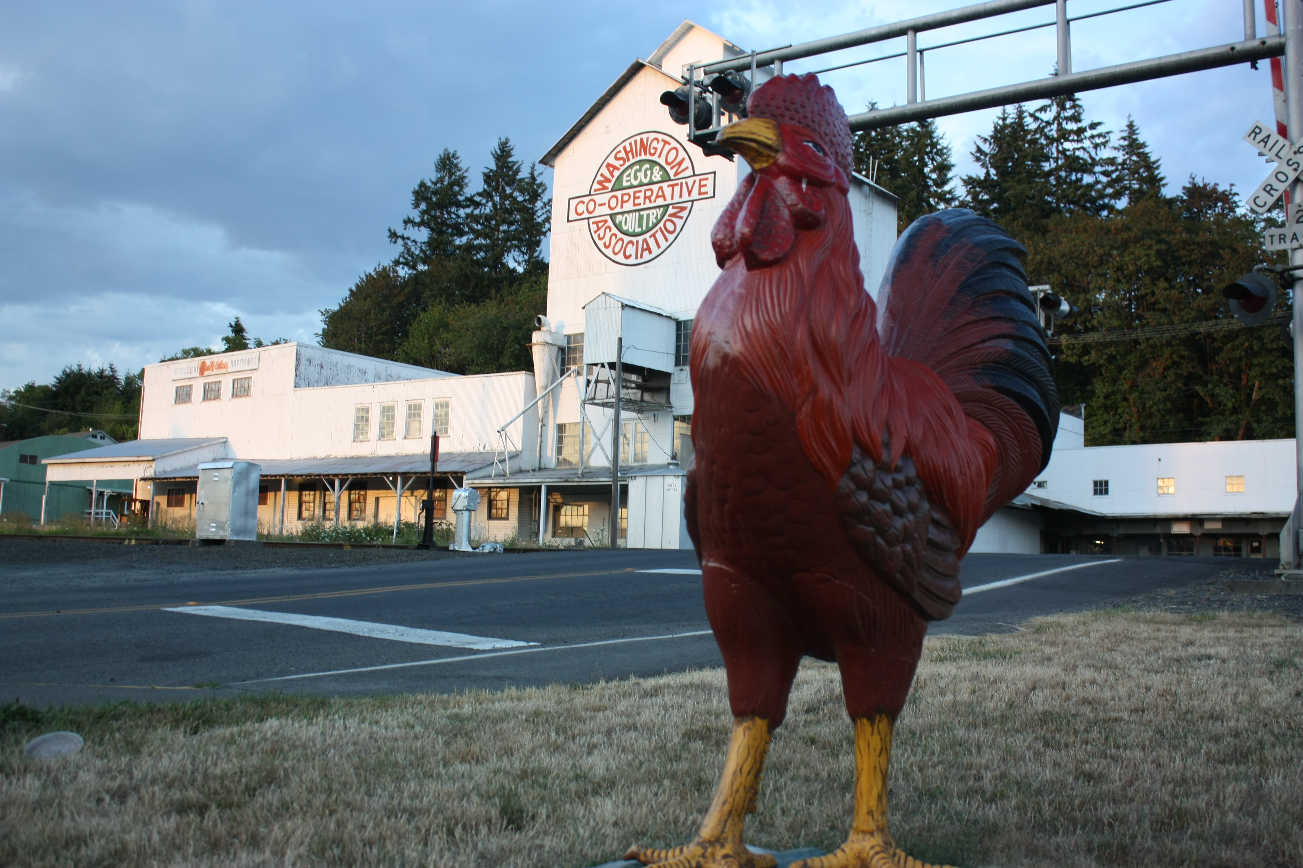
The Rooster Overlord sees all!

I'm on my way to Seattle stopped here for my lunch
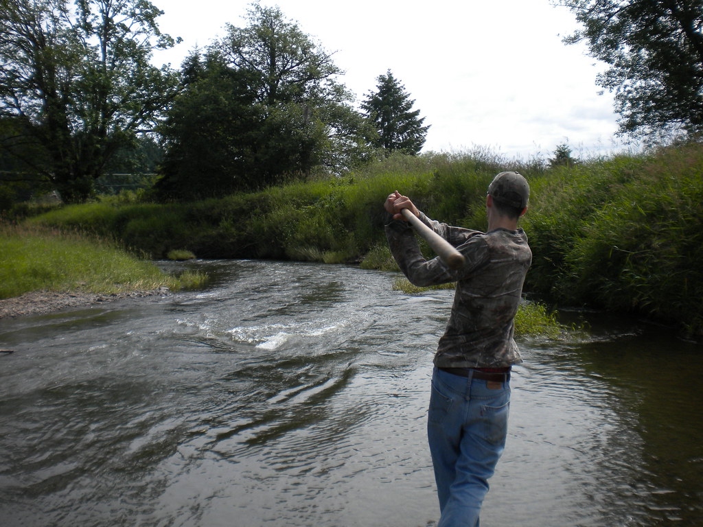
Fly Ball.... er.... Rock....

Cowlitz River

Warehouse wreckage

Mt Rainier and Mt St Helens
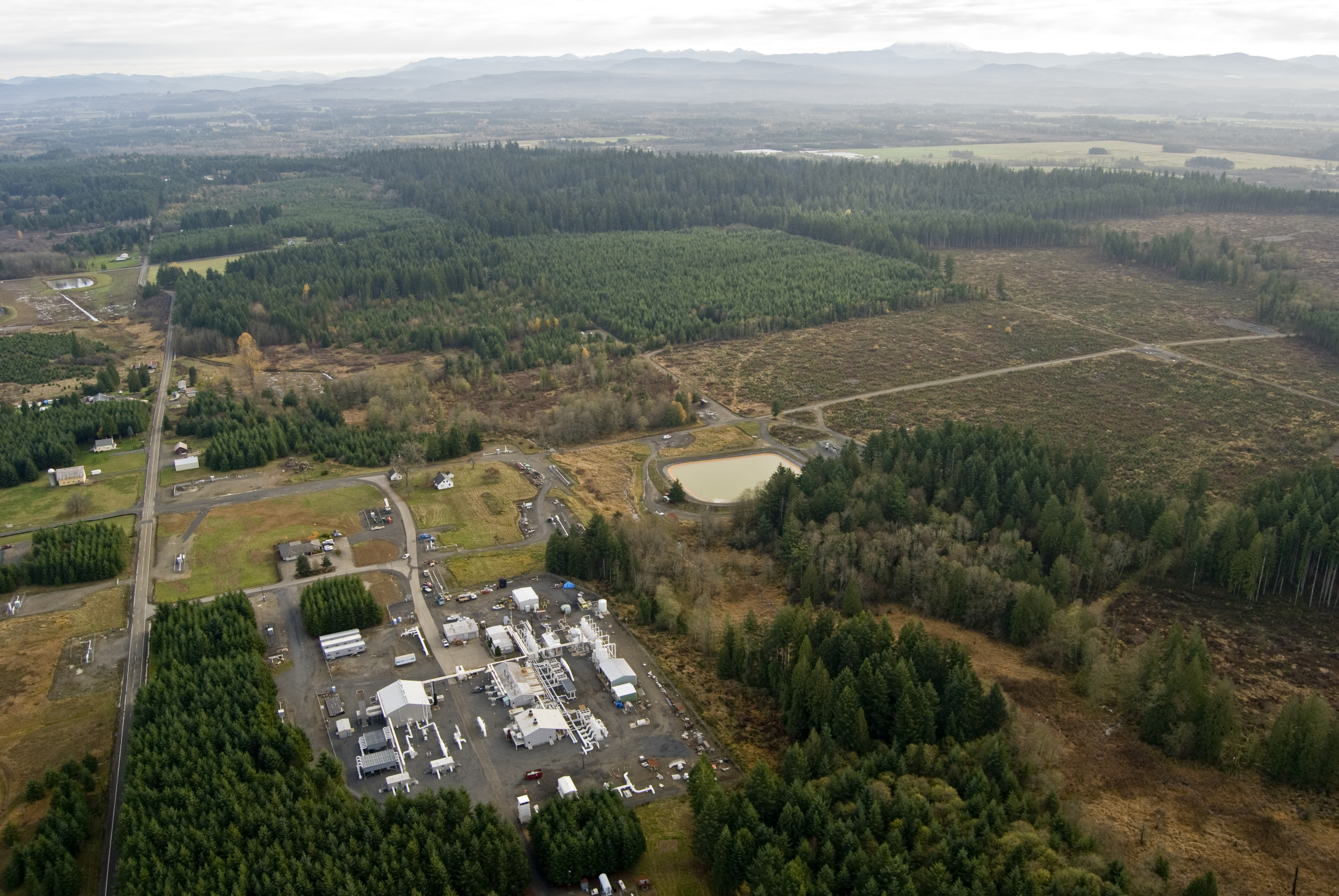
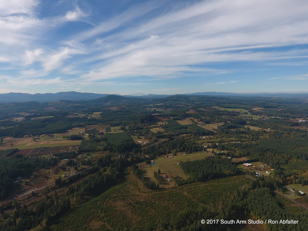
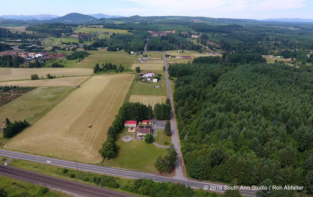
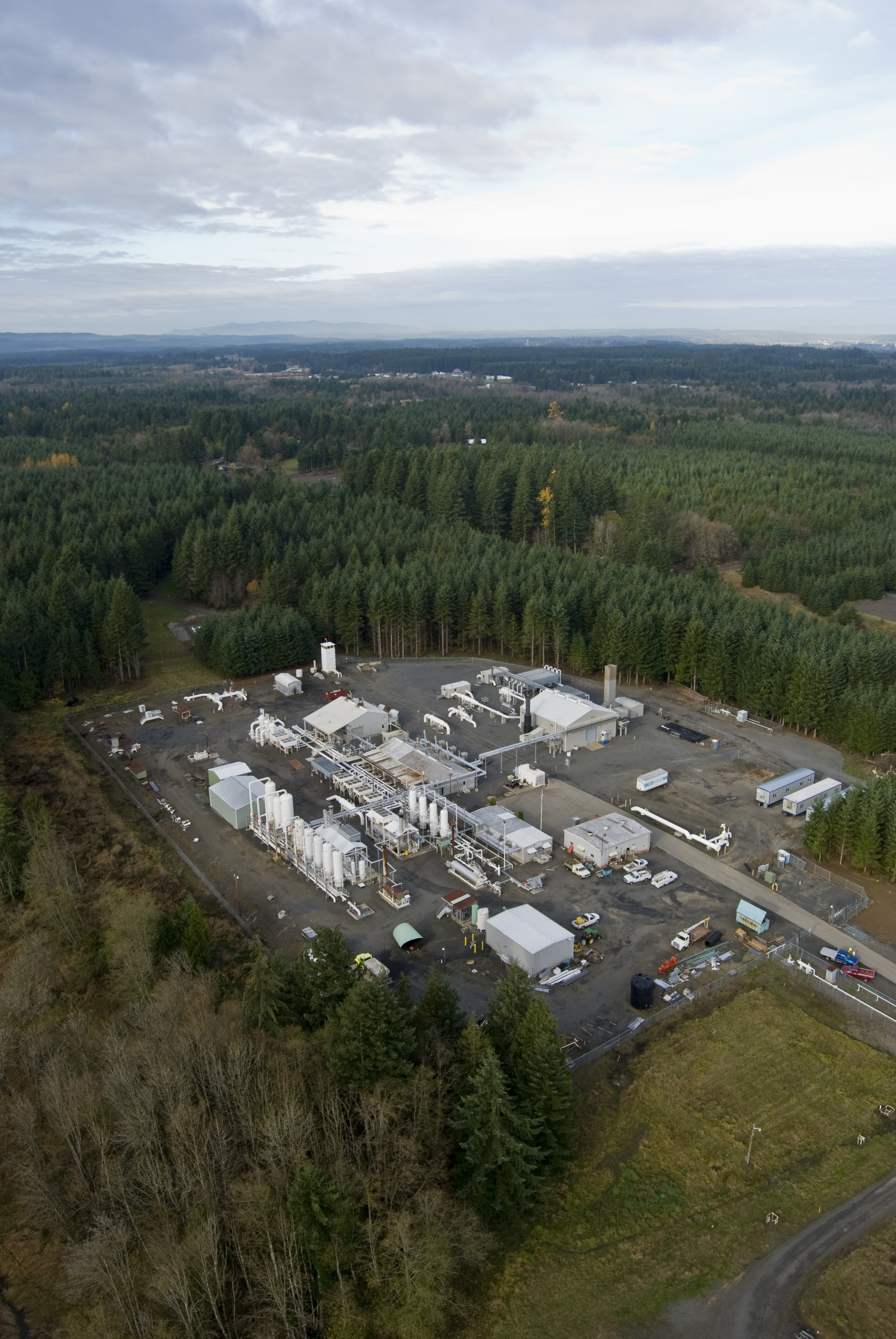
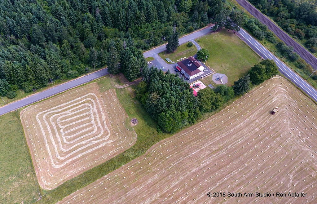
Jackson Prairie

Jackson Prairie003
Standing in a Field

Photo Jul 31, 12 05 25 PM
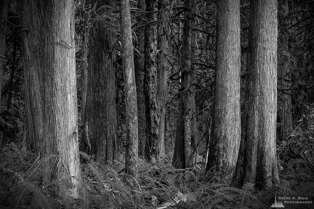
Cedar Forest, Lewis and Clark State Park, Washington, 2015

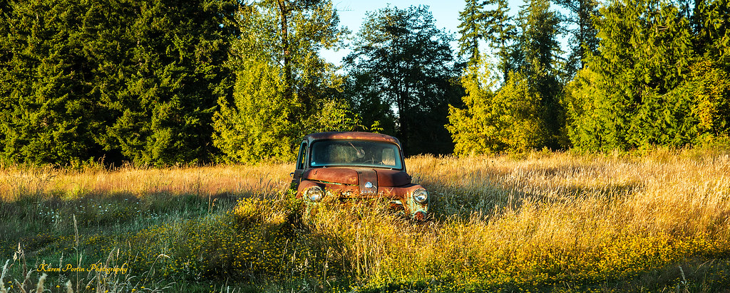
Hidden in the Grass
Winlock, Wa area

Sunrise Through Trees
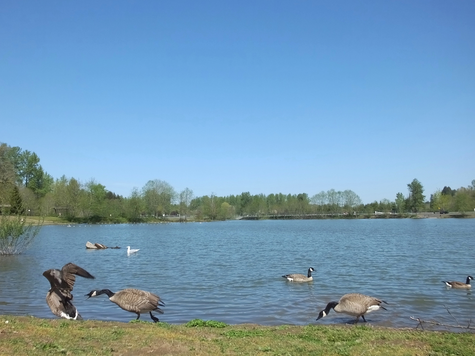
Go away! She's mine!!!
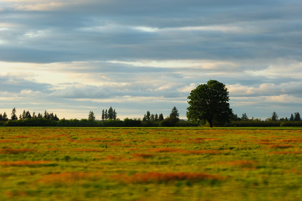
55 mph Landscape Photography

Mayfield Lake
Eveline School
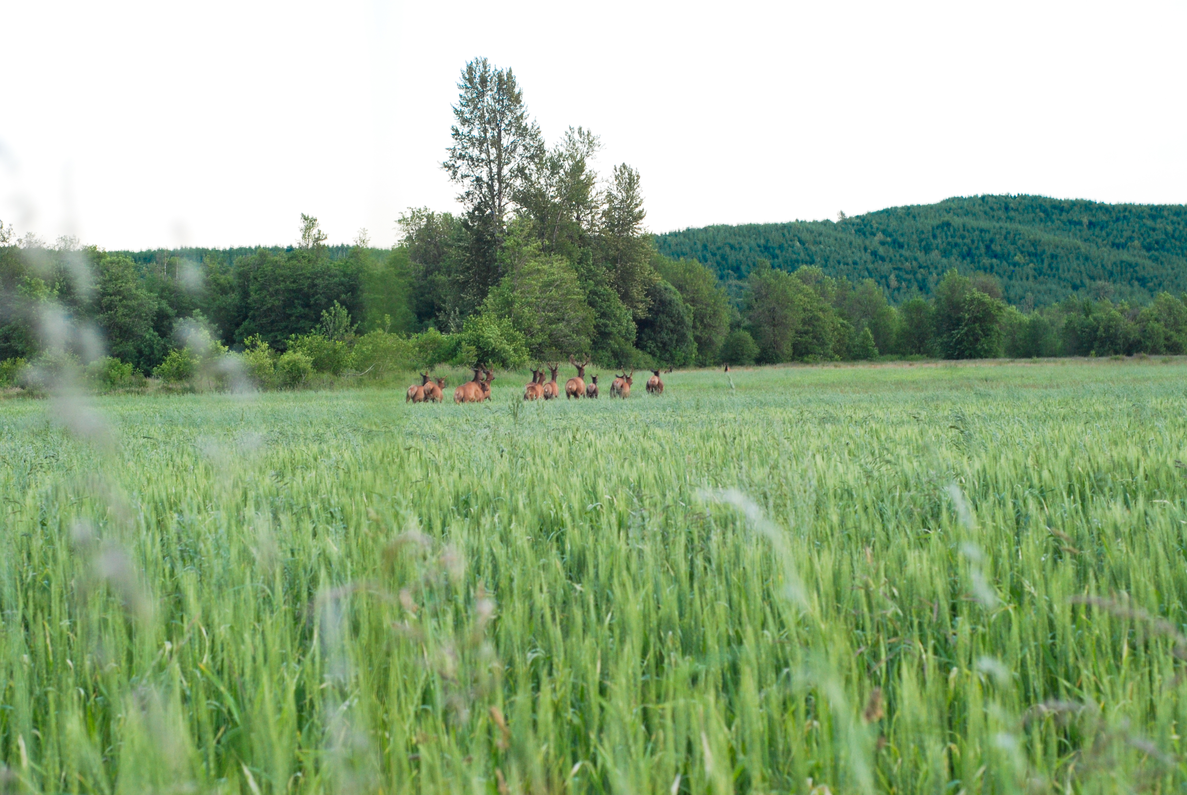
Elk?
Jackson Prairie

zacharyallenpilz photography lewis county trees on pond
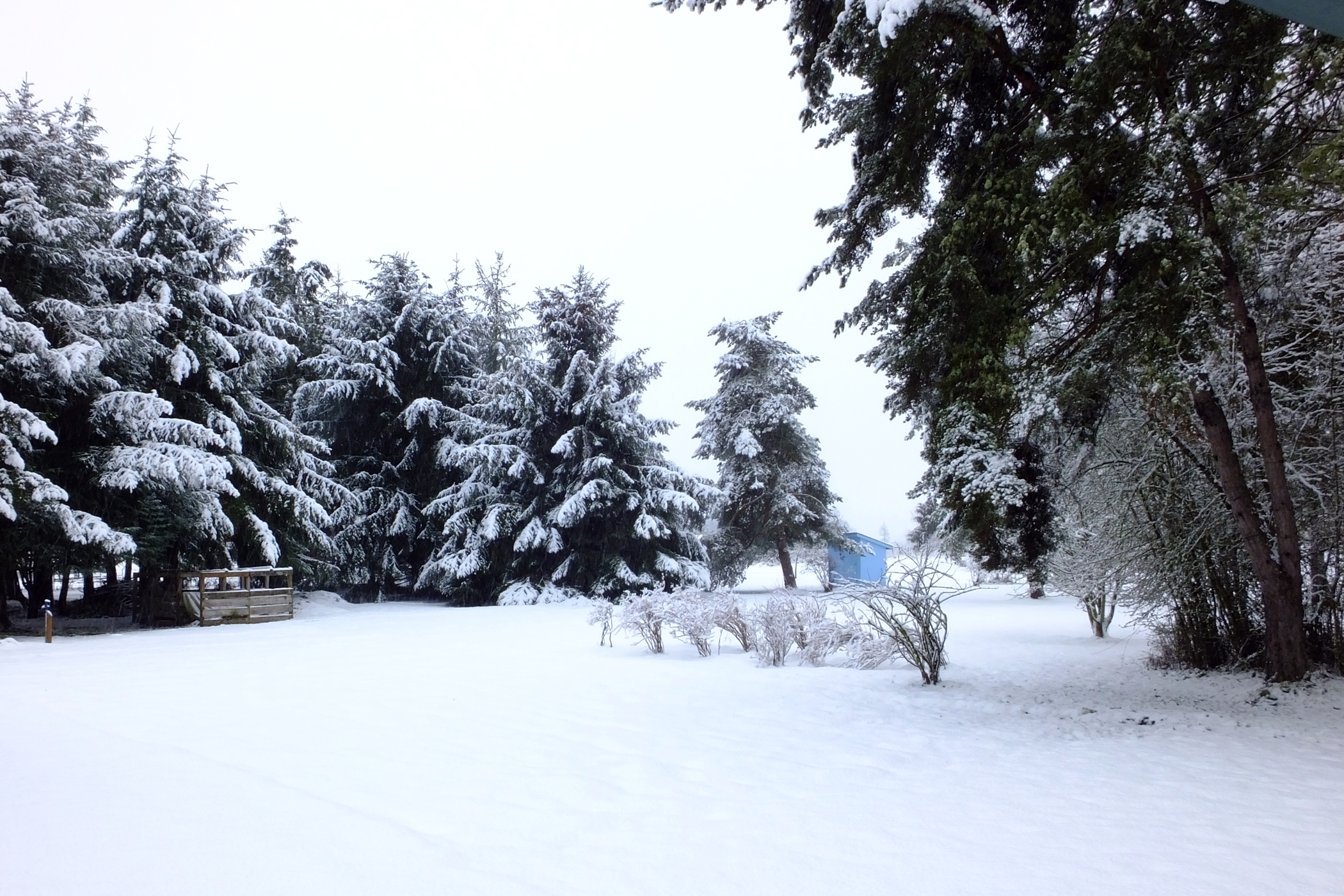
Snowing and Melting
Country School
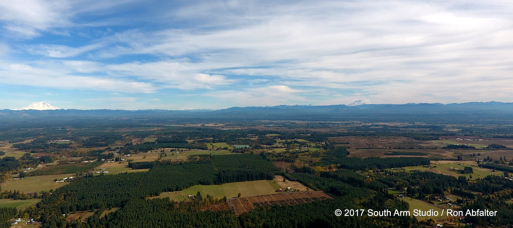
Rainier and St Helens

Cowlitz River
Topographic Map of Oyler Rd, Ethel, WA, USA
Find elevation by address:

Places near Oyler Rd, Ethel, WA, USA:
0 Oyler Rd
Ethel
10 Nicholson Rd #10
693 Gish Rd
621 Leonard Rd
215 Clark Rd
Hyak Rd, Chehalis, WA, USA
155 Schoolhouse Ln
117 Clark Rd
Brim Road
1024 Wa-508
Carlisle Lake
Onalaska
Mary's Corner Market
Post Ln, Chehalis, WA, USA
217 Guerrier Rd
Hansen Family Nursery
217 Guerrier Rd
171 Pascoe Ave
3928 Jackson Hwy
Recent Searches:
- Elevation of Co Rd 87, Jamestown, CO, USA
- Elevation of Tenjo, Cundinamarca, Colombia
- Elevation of Côte-des-Neiges, Montreal, QC H4A 3J6, Canada
- Elevation of Bobcat Dr, Helena, MT, USA
- Elevation of Zu den Ihlowbergen, Althüttendorf, Germany
- Elevation of Badaber, Peshawar, Khyber Pakhtunkhwa, Pakistan
- Elevation of SE Heron Loop, Lincoln City, OR, USA
- Elevation of Slanický ostrov, 01 Námestovo, Slovakia
- Elevation of Spaceport America, Co Rd A, Truth or Consequences, NM, USA
- Elevation of Warwick, RI, USA