Elevation of 10 Nicholson Rd #10, Ethel, WA, USA
Location: United States > Washington > Lewis County > Ethel >
Longitude: -122.79165
Latitude: 46.5182426
Elevation: 117m / 384feet
Barometric Pressure: 100KPa
Elevation Map:
Satellite Map:
Related Photos:

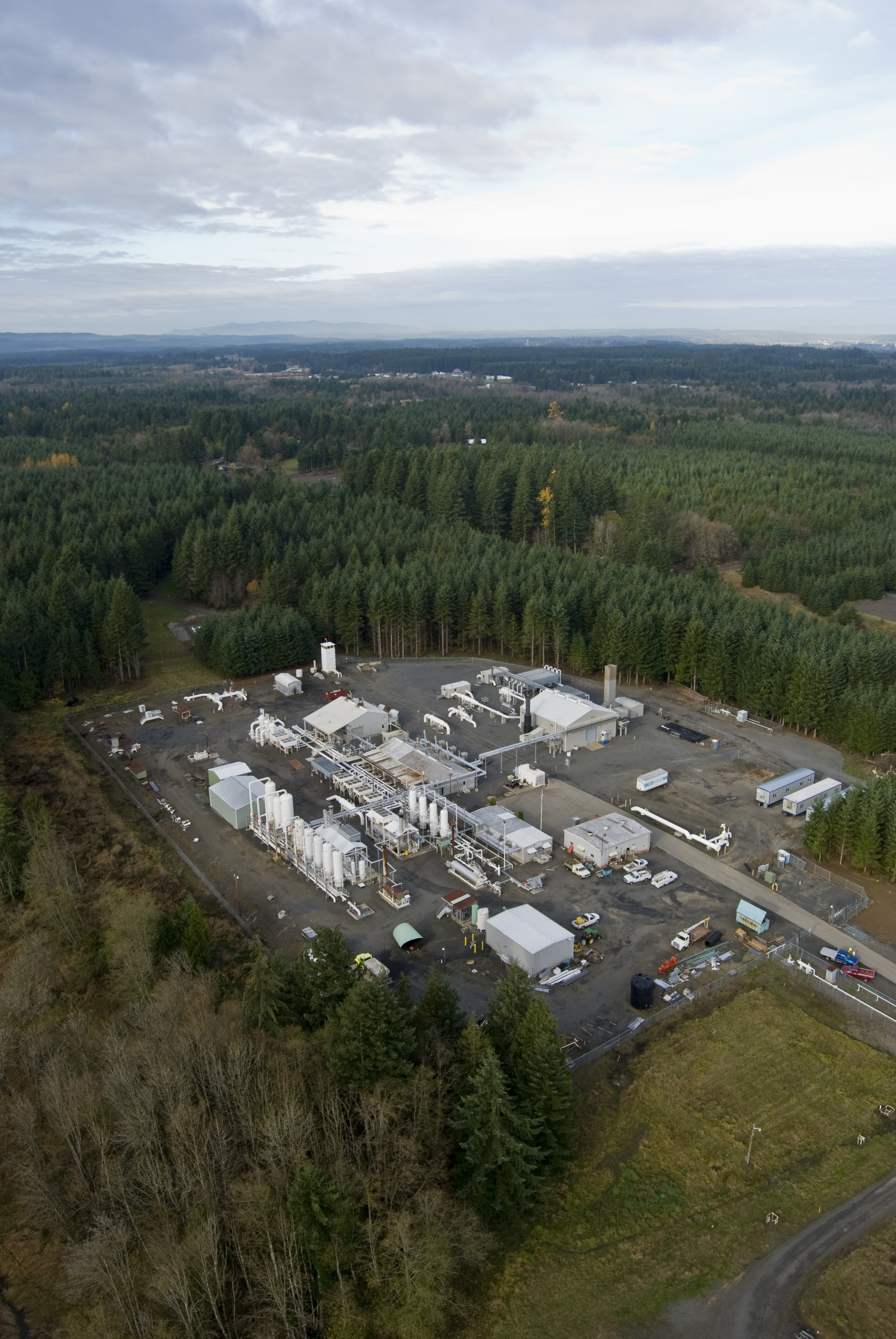
Mt Rainier and Mt St Helens
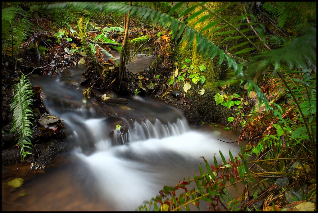
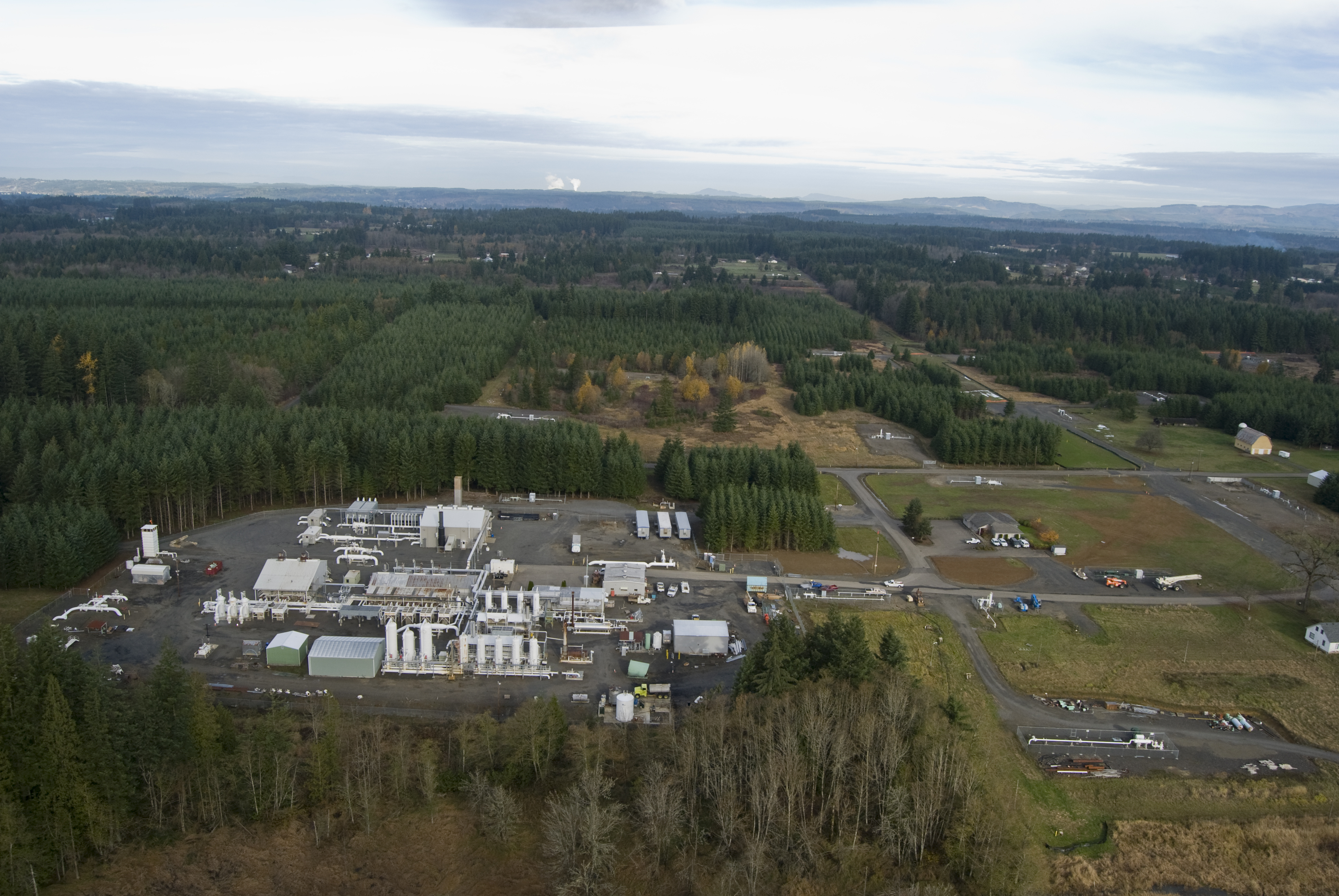
Sears Creek I
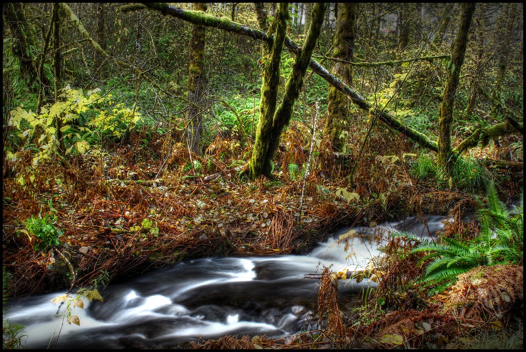
Sears Creek III
Eveline School
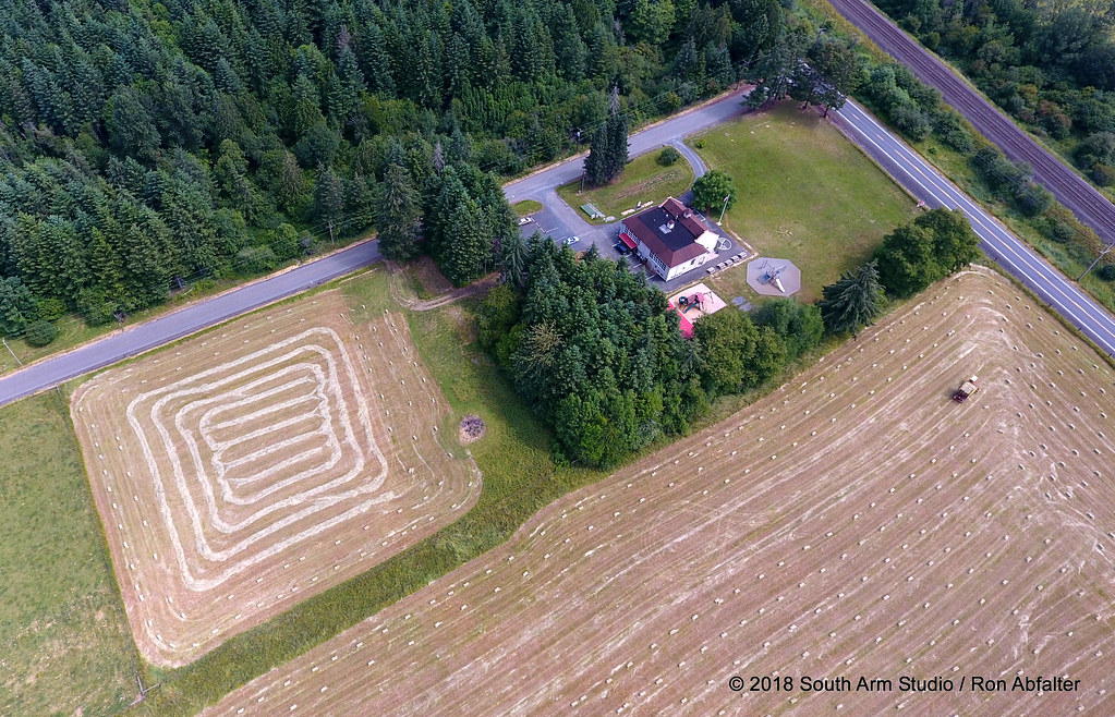
Jackson Prairie

Jackson Prairie003
Jackson Prairie
Jackson Prairie
Country School
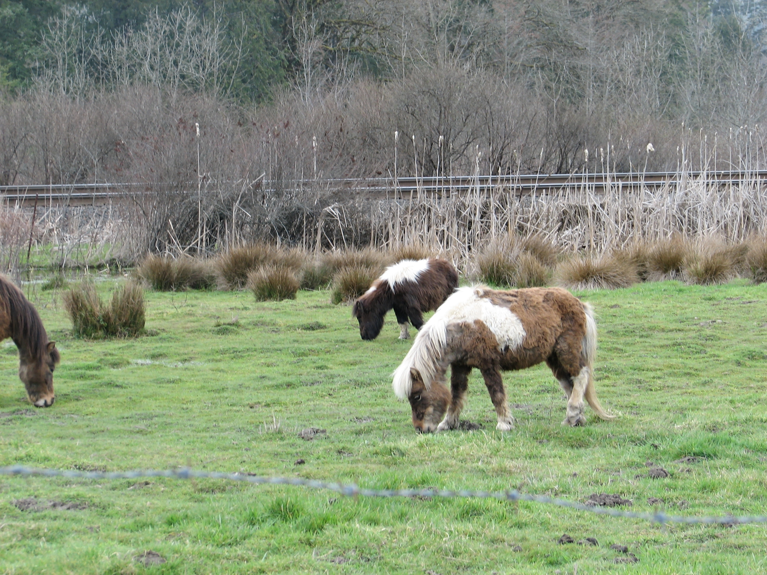
In the Land of Tiny Ponies
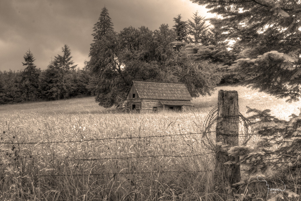
Merchant Road Homestead sepia
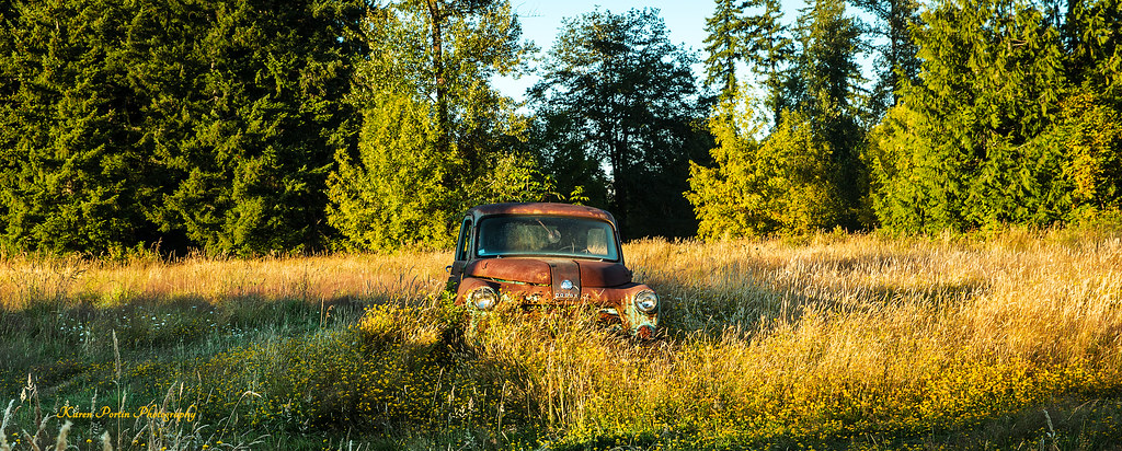
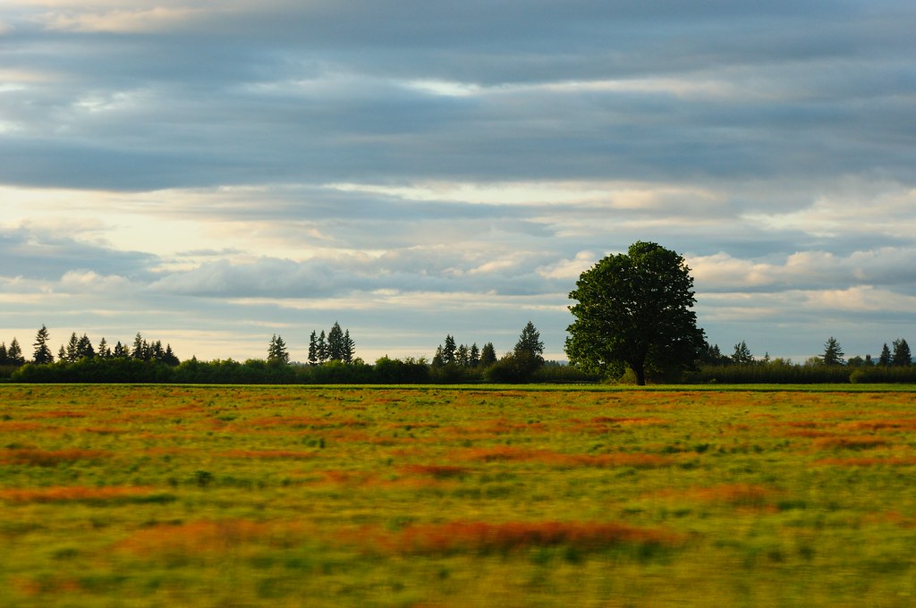
Standing in a Field
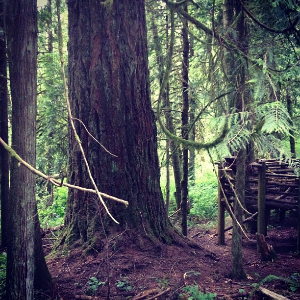
This tree is at least 10 feet in diameter! Nature is incredible.
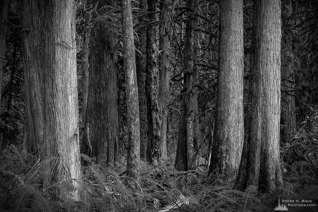
Cedar Forest, Lewis and Clark State Park, Washington, 2015
Channeling Ansel

Photo Jul 31, 12 05 25 PM
Winlock, Wa area
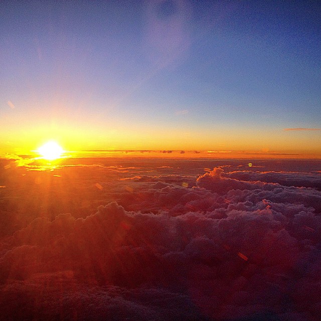
Sunset over the Pacific Northwest #headedhome

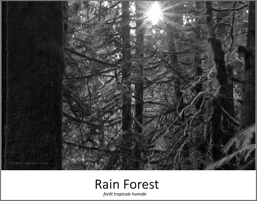
The woods.

Run thru the forest!
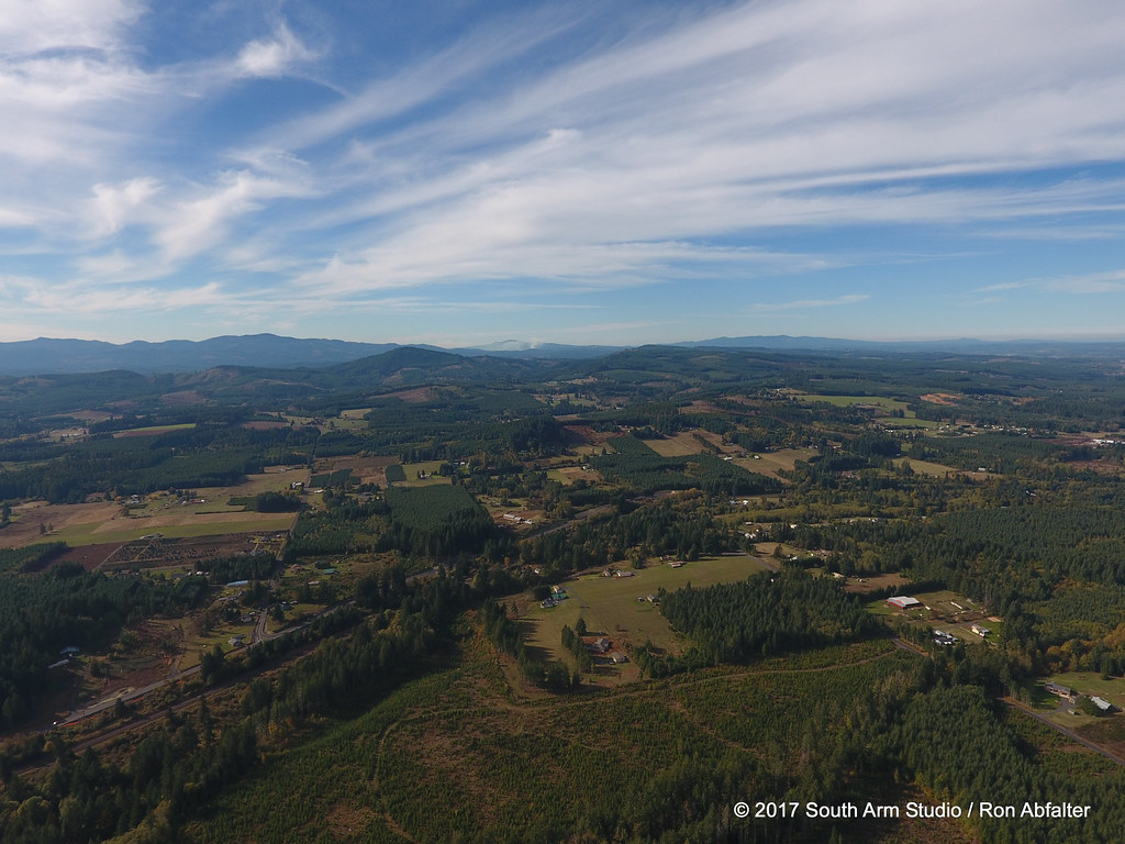
55 mph Landscape Photography
Topographic Map of 10 Nicholson Rd #10, Ethel, WA, USA
Find elevation by address:

Places near 10 Nicholson Rd #10, Ethel, WA, USA:
155 Schoolhouse Ln
144 Oyler Rd
0 Oyler Rd
Mary's Corner Market
Post Ln, Chehalis, WA, USA
215 Clark Rd
117 Clark Rd
171 Pascoe Ave
Park Road
Ethel
217 Guerrier Rd
Hansen Family Nursery
217 Guerrier Rd
1024 Wa-508
St. Vincent De Paul Society
3928 Jackson Hwy
693 Gish Rd
Hyak Rd, Chehalis, WA, USA
158 Rakoz Rd
207 Meier Rd
Recent Searches:
- Elevation of Jadagoniai, Kaunas District Municipality, Lithuania
- Elevation of Pagonija rock, Kranto 7-oji g. 8"N, Kaunas, Lithuania
- Elevation of Co Rd 87, Jamestown, CO, USA
- Elevation of Tenjo, Cundinamarca, Colombia
- Elevation of Côte-des-Neiges, Montreal, QC H4A 3J6, Canada
- Elevation of Bobcat Dr, Helena, MT, USA
- Elevation of Zu den Ihlowbergen, Althüttendorf, Germany
- Elevation of Badaber, Peshawar, Khyber Pakhtunkhwa, Pakistan
- Elevation of SE Heron Loop, Lincoln City, OR, USA
- Elevation of Slanický ostrov, 01 Námestovo, Slovakia