Elevation of Owl Ridge West, Colorado, USA
Location: United States > Colorado > Walden >
Longitude: -106.24611
Latitude: 40.5897222
Elevation: 2723m / 8934feet
Barometric Pressure: 73KPa
Elevation Map:
Satellite Map:
Related Photos:

North Park Meander
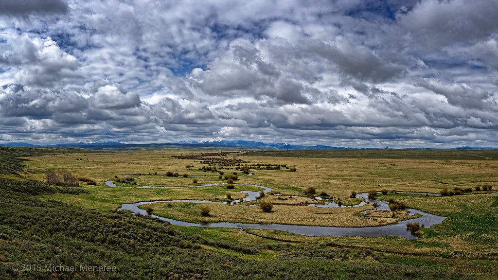
Meandering through Arapaho National Wildlife Refuge
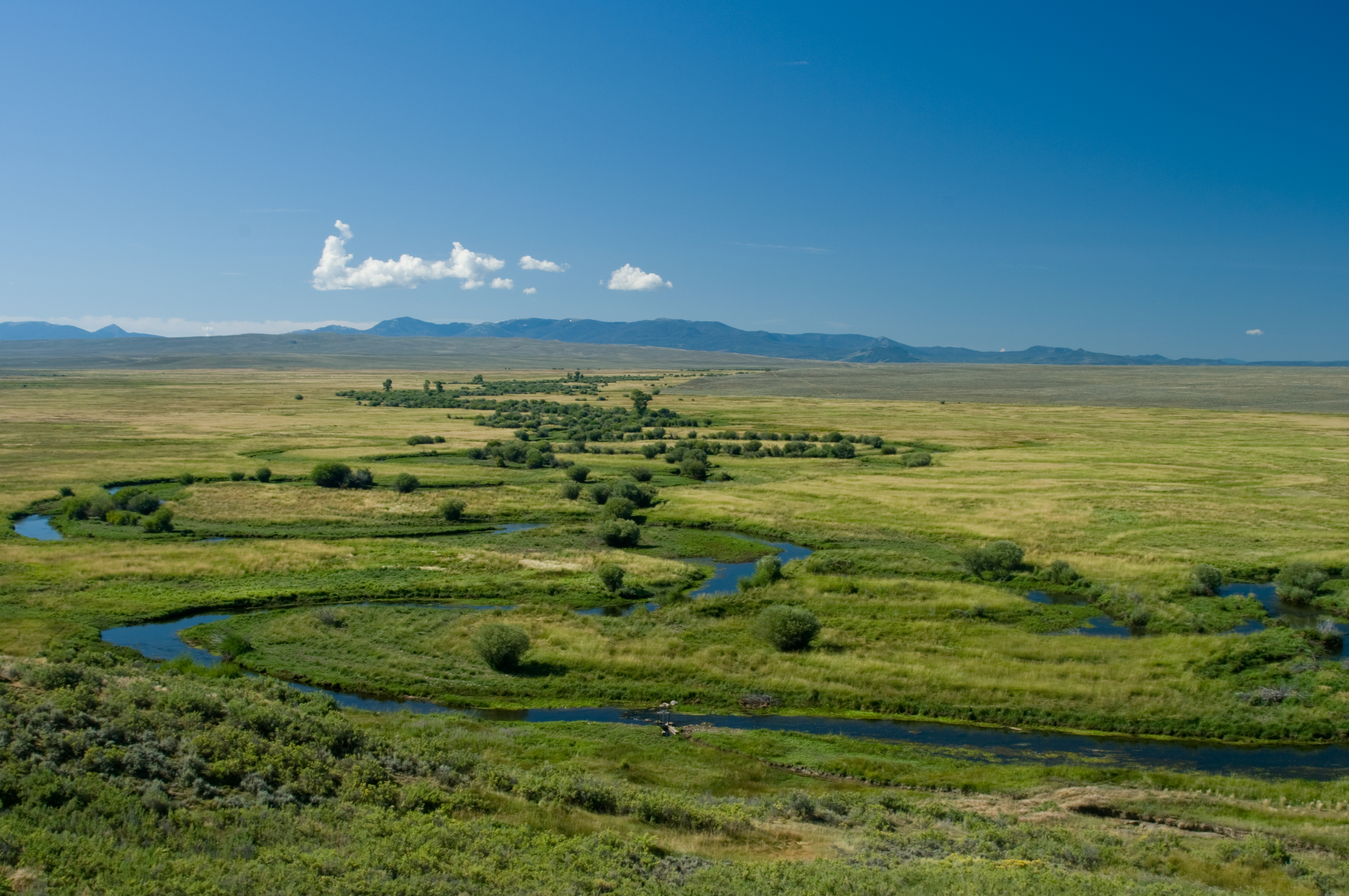
Arapaho NWR
Topographic Map of Owl Ridge West, Colorado, USA
Find elevation by address:

Places near Owl Ridge West, Colorado, USA:
Jackson County
Walden, CO, USA
Walden
Rand
Johnny Moore Mountain
53337 Co-14
Coalmont
Custer Mountain
Spicer Peak
North Park Campground
Sheep Mountain
Owl Mountain
Hyannis Peak
Pole Mountain
Little Haystack Mountain
Gould Mountain
Delaney Butte
Dennis Hump
Ironclad Mountain
Haystack Mountain
Recent Searches:
- Elevation of Corso Fratelli Cairoli, 35, Macerata MC, Italy
- Elevation of Tallevast Rd, Sarasota, FL, USA
- Elevation of 4th St E, Sonoma, CA, USA
- Elevation of Black Hollow Rd, Pennsdale, PA, USA
- Elevation of Oakland Ave, Williamsport, PA, USA
- Elevation of Pedrógão Grande, Portugal
- Elevation of Klee Dr, Martinsburg, WV, USA
- Elevation of Via Roma, Pieranica CR, Italy
- Elevation of Tavkvetili Mountain, Georgia
- Elevation of Hartfords Bluff Cir, Mt Pleasant, SC, USA