Elevation of Johnny Moore Mountain, Colorado, USA
Location: United States > Colorado > Walden >
Longitude: -106.09251
Latitude: 40.6402571
Elevation: 2750m / 9022feet
Barometric Pressure: 72KPa
Elevation Map:
Satellite Map:
Related Photos:

North Park Meander
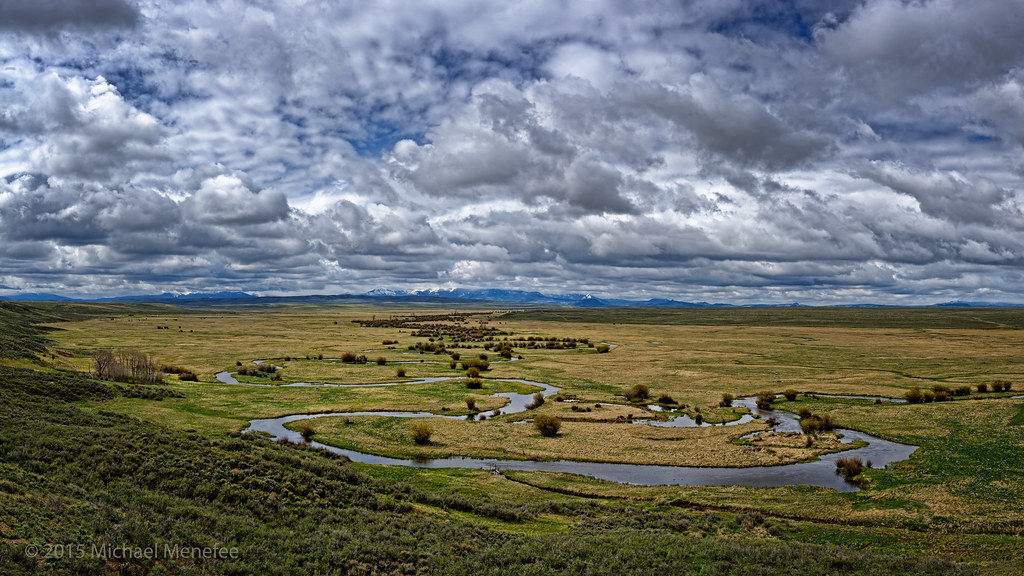
Meandering through Arapaho National Wildlife Refuge
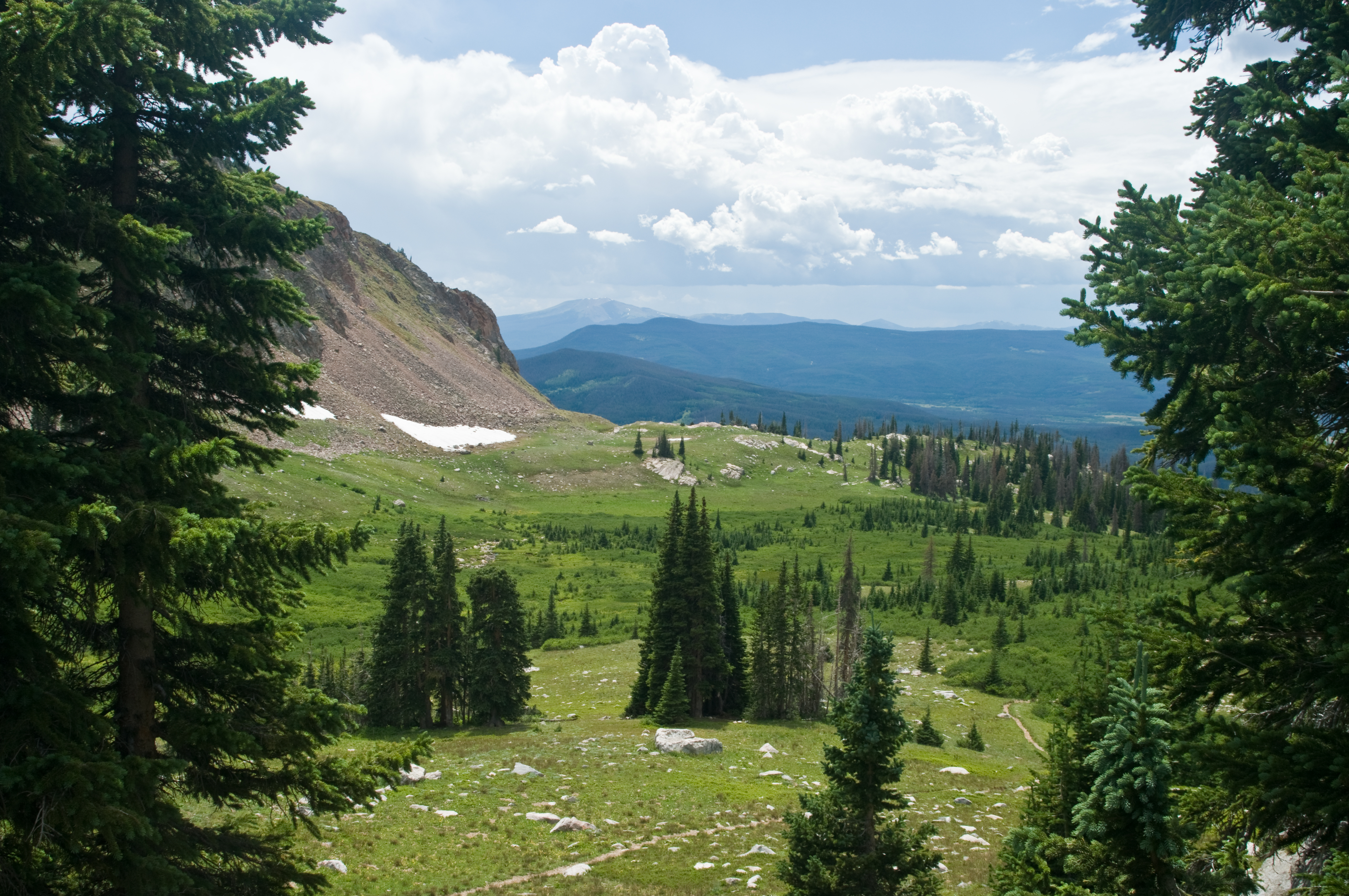
View Down Valley

Our campsite
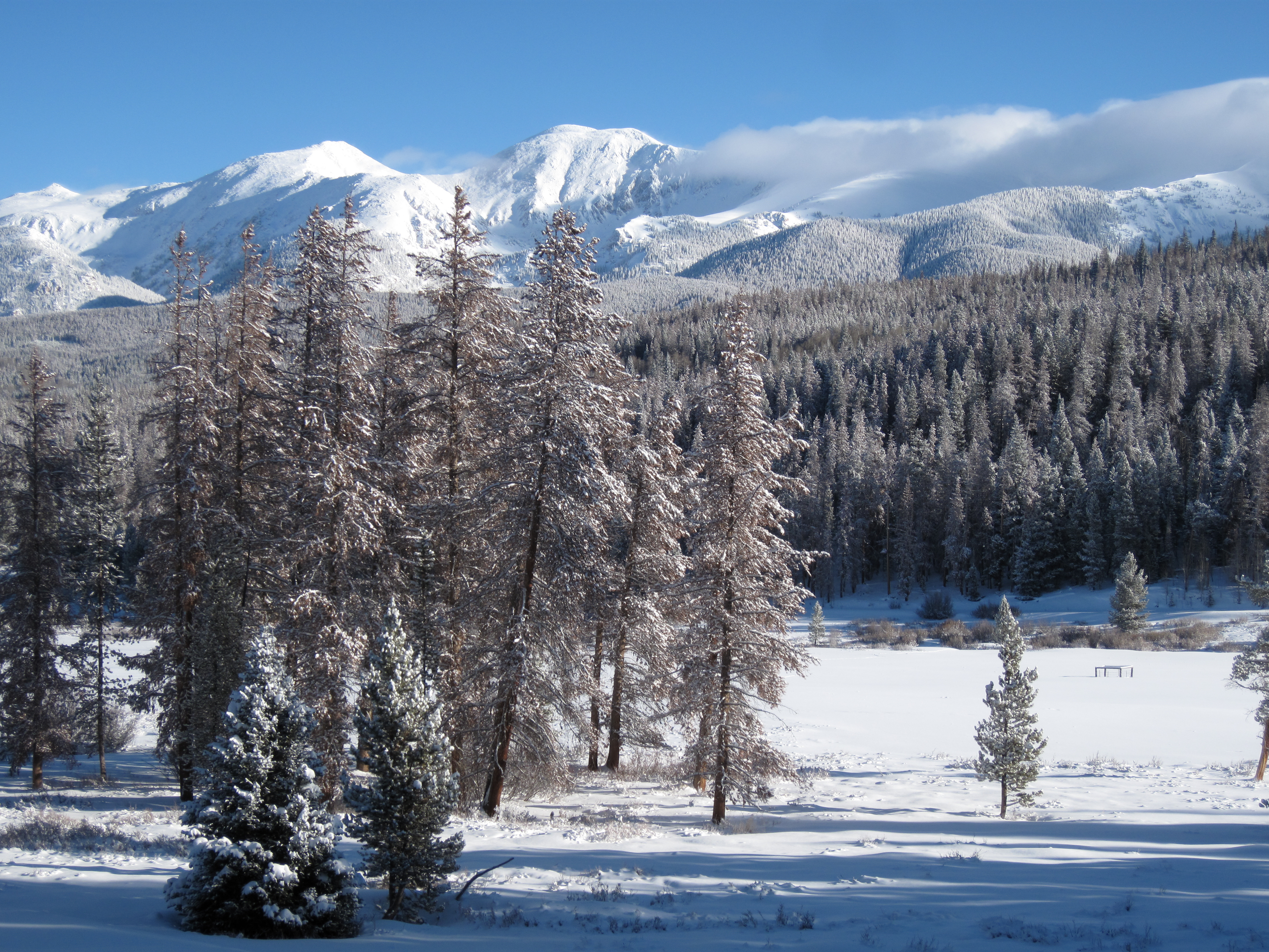
Morning Vista
Topographic Map of Johnny Moore Mountain, Colorado, USA
Find elevation by address:

Places near Johnny Moore Mountain, Colorado, USA:
53337 Co-14
Custer Mountain
North Park Campground
North Rawah Peak
South Rawah Peak
Gould Mountain
Owl Ridge West
Jackson County
Clark Peak
Owl Mountain
Ranger Lakes Campground
Cameron Peak
Rand
Walden
North Diamond Peak
Walden, CO, USA
Chambers Lake
La Fevre Ridge
Bearpaws Peaks South
County Road 21e
Recent Searches:
- Elevation of Corso Fratelli Cairoli, 35, Macerata MC, Italy
- Elevation of Tallevast Rd, Sarasota, FL, USA
- Elevation of 4th St E, Sonoma, CA, USA
- Elevation of Black Hollow Rd, Pennsdale, PA, USA
- Elevation of Oakland Ave, Williamsport, PA, USA
- Elevation of Pedrógão Grande, Portugal
- Elevation of Klee Dr, Martinsburg, WV, USA
- Elevation of Via Roma, Pieranica CR, Italy
- Elevation of Tavkvetili Mountain, Georgia
- Elevation of Hartfords Bluff Cir, Mt Pleasant, SC, USA