Elevation of Overland Way, Wilton, CA, USA
Location: United States > California > Sacramento County > Wilton > Rancho Alta Mesa >
Longitude: -121.2236
Latitude: 38.418114
Elevation: 27m / 89feet
Barometric Pressure: 101KPa
Elevation Map:
Satellite Map:
Related Photos:

On Wings of a Dream

EGPD Rear View
County Roads (Explore)
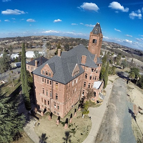
Another view of the Preston Castle. Such a great place!

Winter at the Vineyard

Day 14: Flipping cards

Old man ...DSC_4181-01
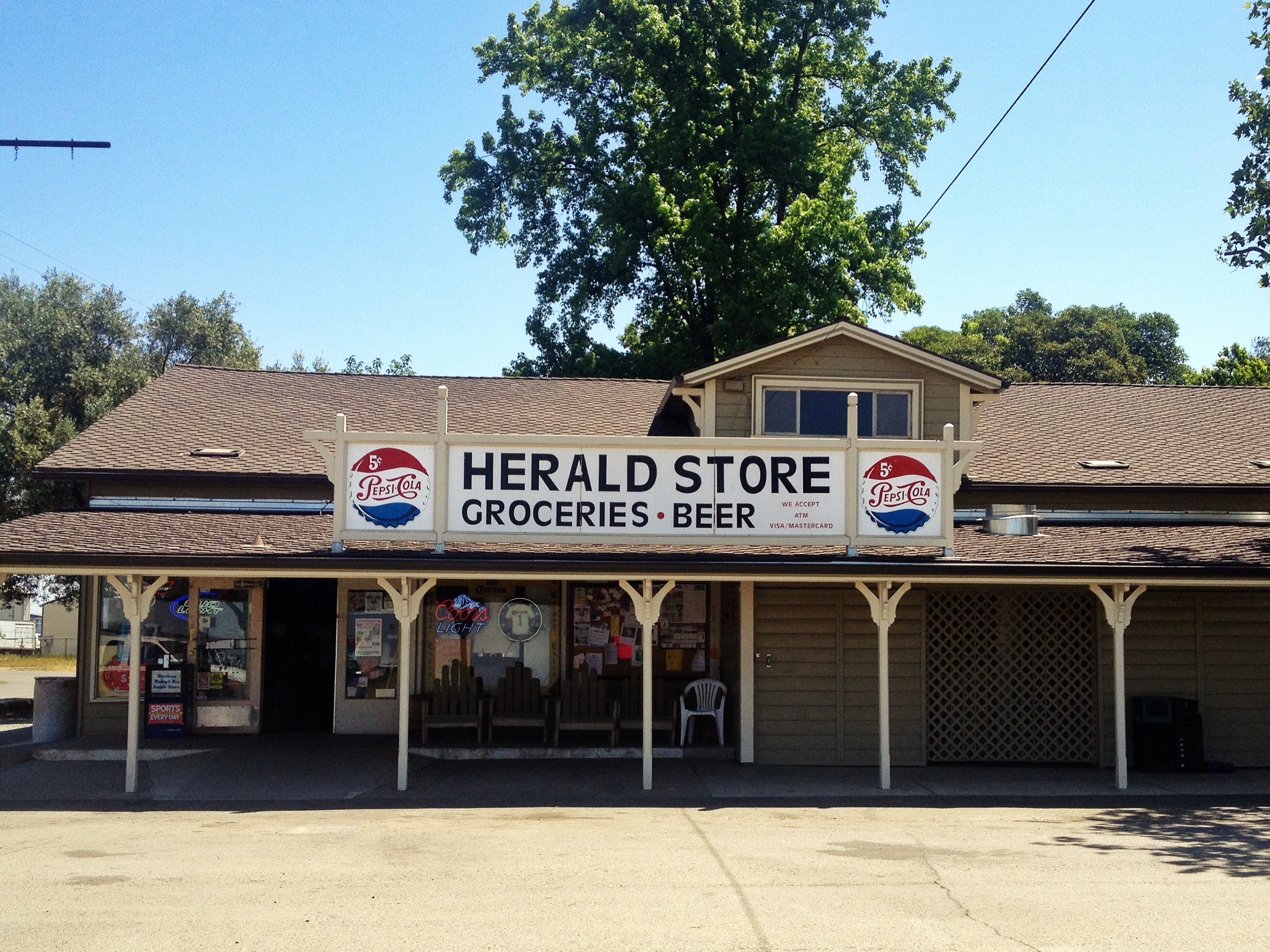
Hark! The Herald
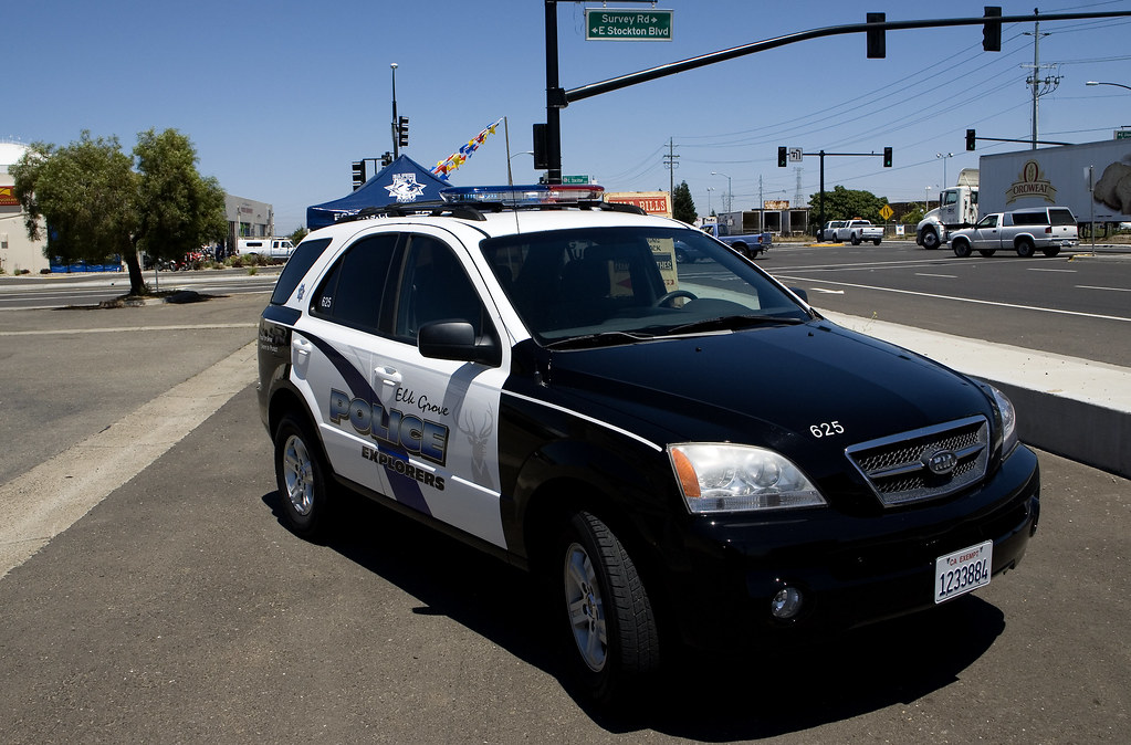
Elk Grove Police Explorer KIA 3-4 View

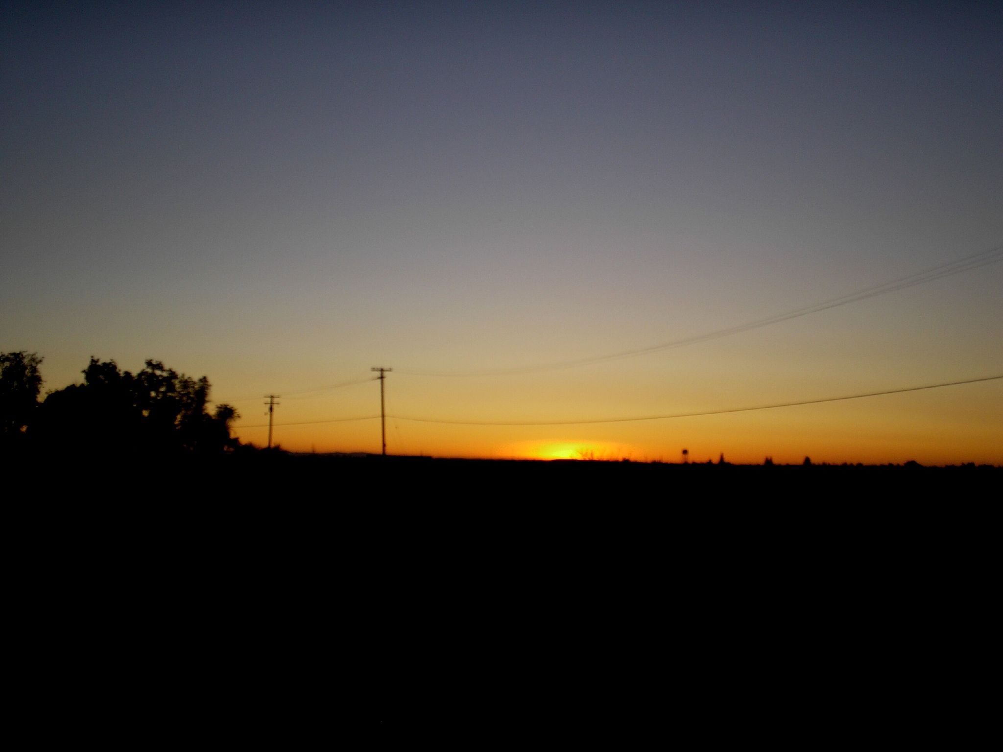
Sunrise in the Valley

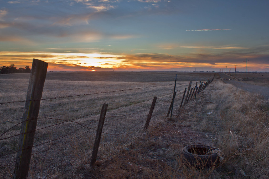
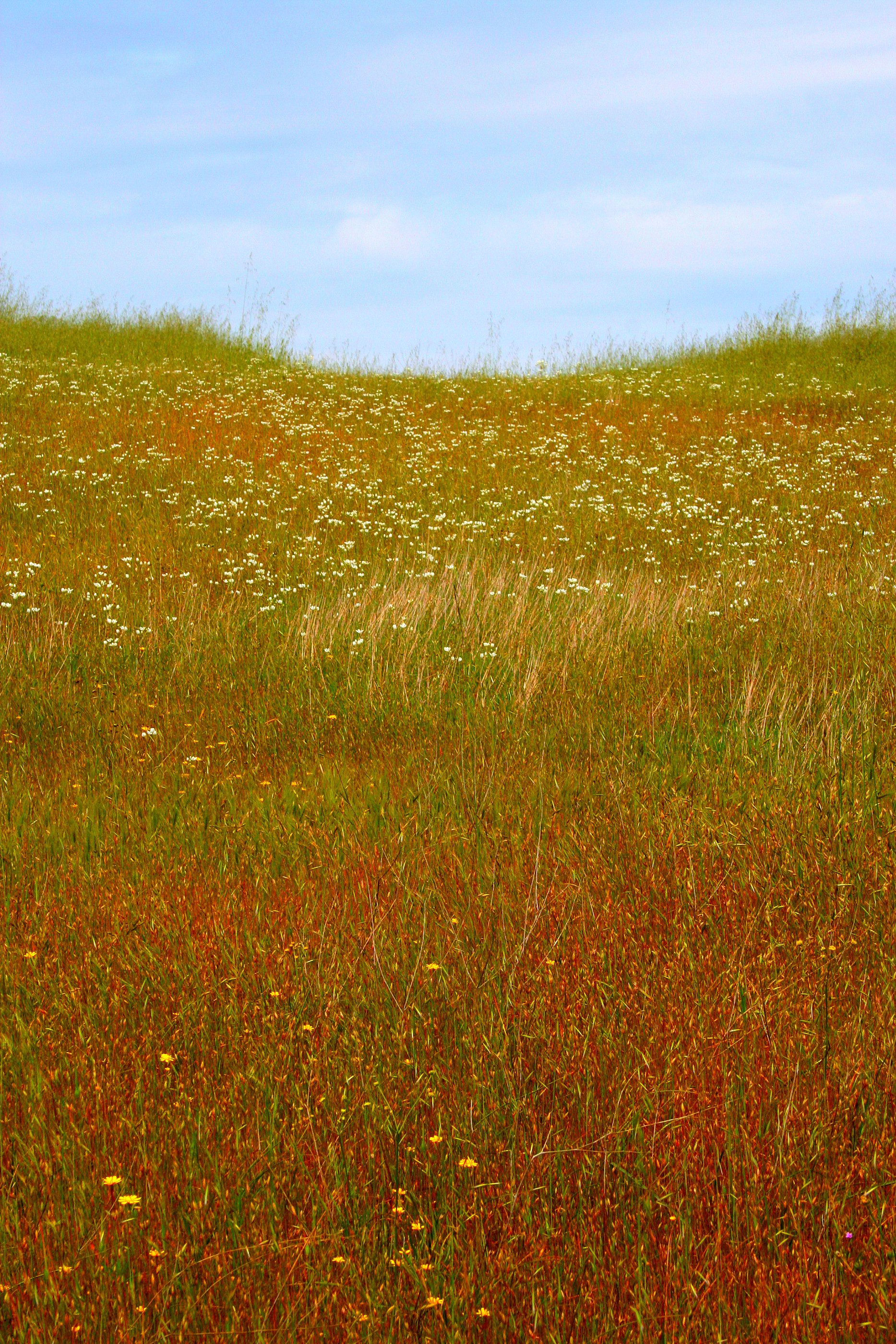
Fields of Gold

View from Monterey Bay Aquarium
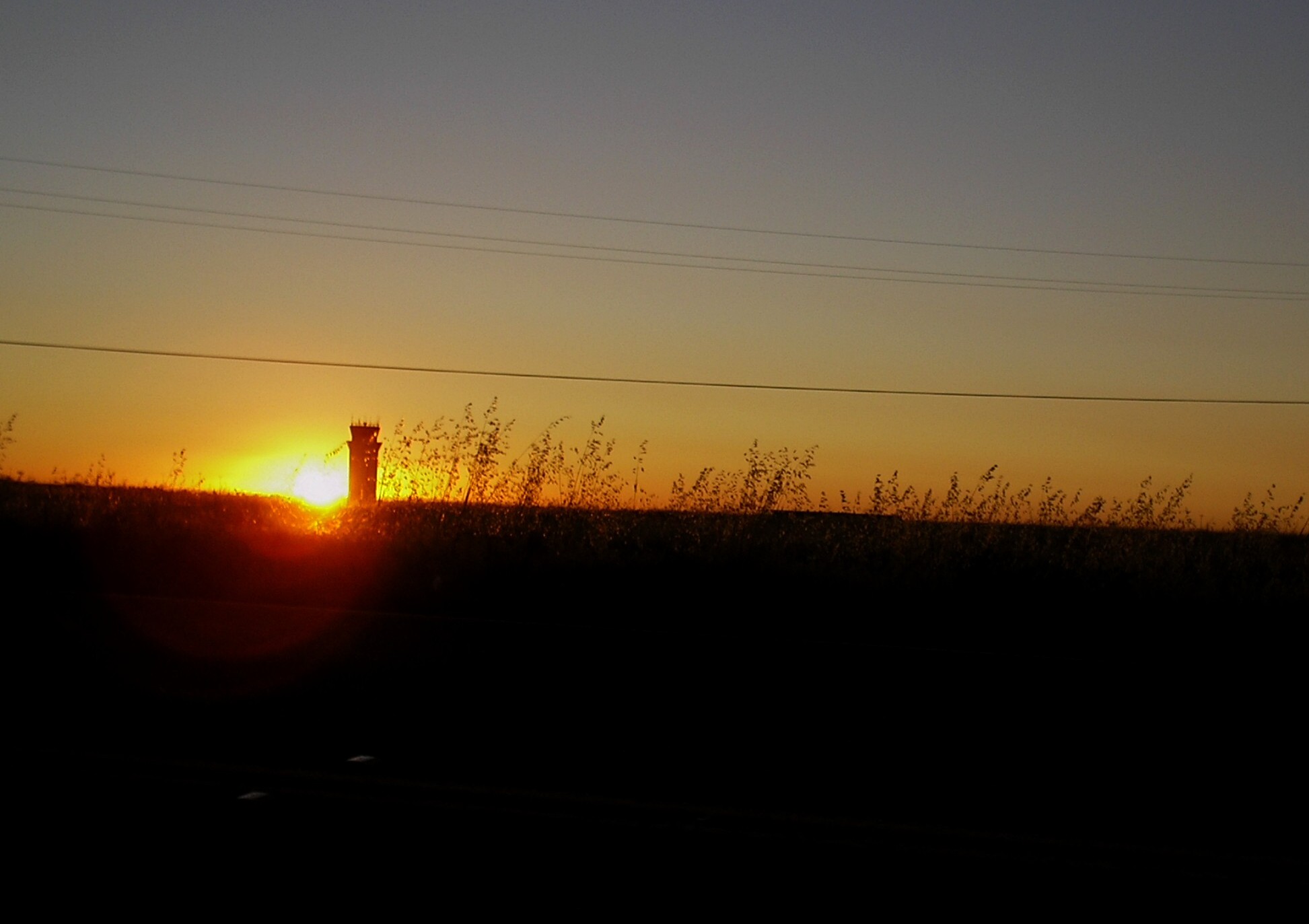
Sunset at Mather Airport-Aug 13 2007 (2)a
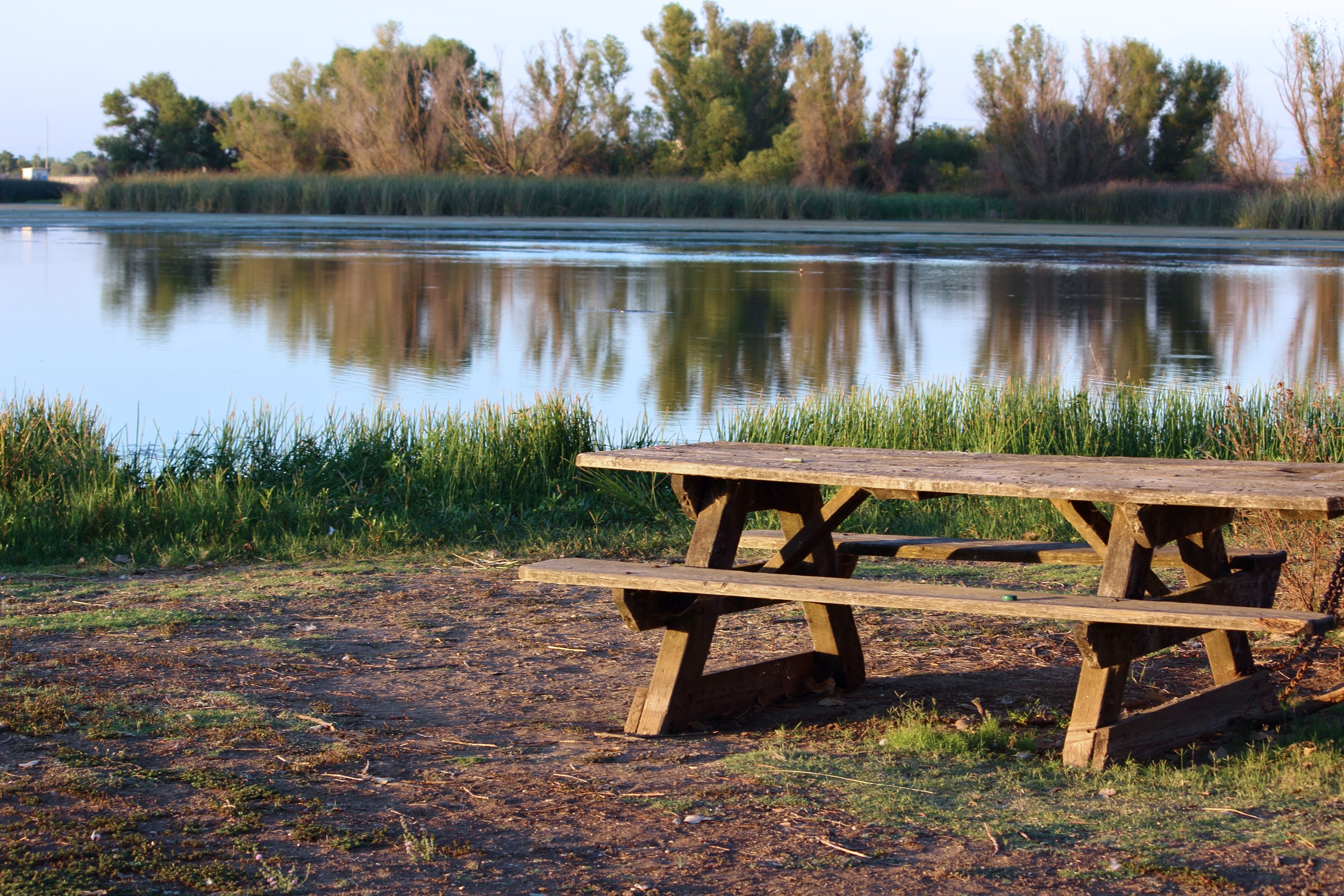
Empty bench at Mather Lake
Sunset at Mather Airport-Aug 13 2007 (3)
Day 74/365 a view_0011

Rancho Seco Willlow
Cosumnes River, near old bridge
Rancho Seco010.JPG

sloughhouse ploughed field
Howard Ranch Hike026.JPG
Howard Ranch Hike040.JPG
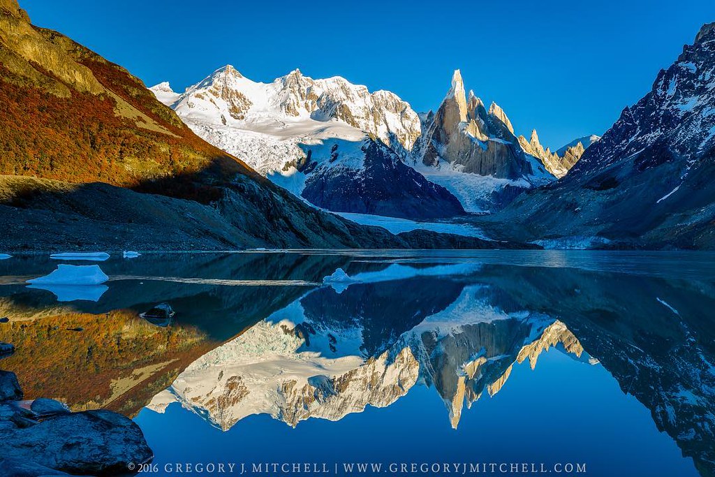
#cerrotorre #patagonia #argentina #earlymorninghike #tactilephoto #gregmitchellphotography
Howard Ranch Hike021.JPG
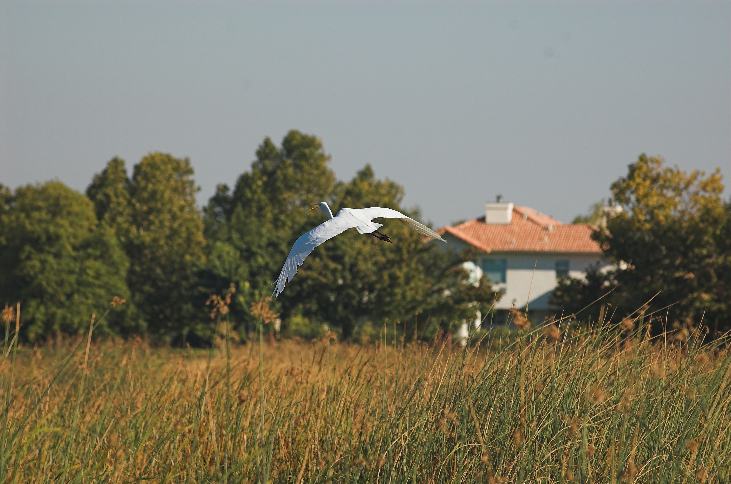
Egret in flight ...DSC_5194-01

Happy Valentine's Day! #valentinesday #goodinight #stanislausmagazine #stanislauscounty #ignorcal #sunset #landscapephotography #gregmitchellphotography #tactilephoto
Summer Field
IMG_6191 Meadow
Almost there!!! #norcalmove
Howard Ranch Hike032.JPG
Rancho Seco Park-2593

Rory and friends getting their work in. U9 girls comp soccer #iracademy#interragesoccer#interrage#soccertryouts
Howard Ranch Hike027.JPG
IMG_6092 Callie, Fetch 3
Topographic Map of Overland Way, Wilton, CA, USA
Find elevation by address:

Places near Overland Way, Wilton, CA, USA:
Rancho Alta Mesa
Peach Lane
12551 Peach Ln
9501 Tavernor Rd
12488 Pear Ln
Green Road
8728 Dillard Rd
Dillard Rd, Wilton, CA, USA
10150 Badger Creek Ln
Folsom South Canal
Folsom South Canal
12190 Walmort Rd
10333 Badger Creek Ln
Colony Rd, Wilton, CA, USA
11540 Badger Colony Ct
12910 Orange Rd
Wilton
Cherry Road
7761 Sloughhouse Rd
Berry Road
Recent Searches:
- Elevation of Slanický ostrov, 01 Námestovo, Slovakia
- Elevation of Spaceport America, Co Rd A, Truth or Consequences, NM, USA
- Elevation of Warwick, RI, USA
- Elevation of Fern Rd, Whitmore, CA, USA
- Elevation of 62 Abbey St, Marshfield, MA, USA
- Elevation of Fernwood, Bradenton, FL, USA
- Elevation of Felindre, Swansea SA5 7LU, UK
- Elevation of Leyte Industrial Development Estate, Isabel, Leyte, Philippines
- Elevation of W Granada St, Tampa, FL, USA
- Elevation of Pykes Down, Ivybridge PL21 0BY, UK