Elevation of Tavernor Rd, Wilton, CA, USA
Location: United States > California > Sacramento County > Wilton >
Longitude: -121.20698
Latitude: 38.410566
Elevation: 36m / 118feet
Barometric Pressure: 101KPa
Elevation Map:
Satellite Map:
Related Photos:

EGPD Rear View
County Roads (Explore)
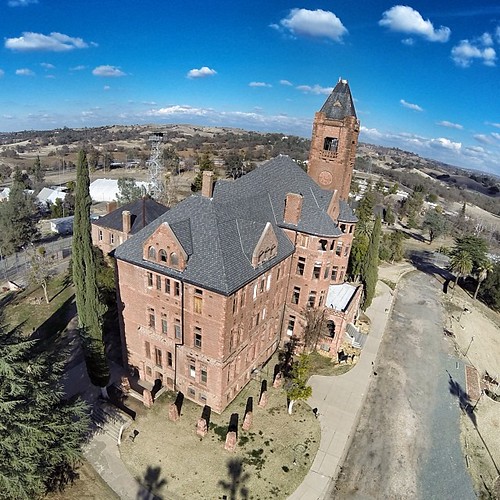
Another view of the Preston Castle. Such a great place!
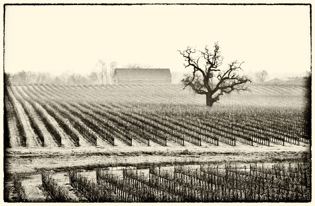
Winter at the Vineyard

Day 14: Flipping cards

Old man ...DSC_4181-01
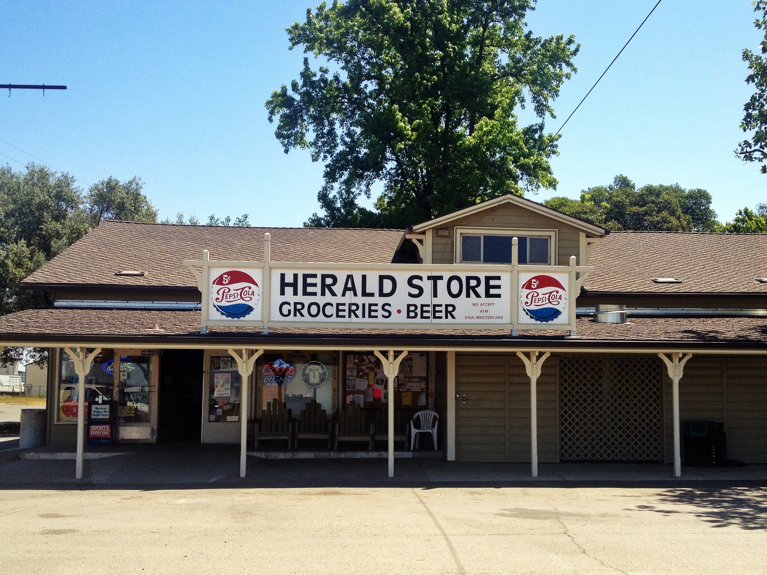
Hark! The Herald
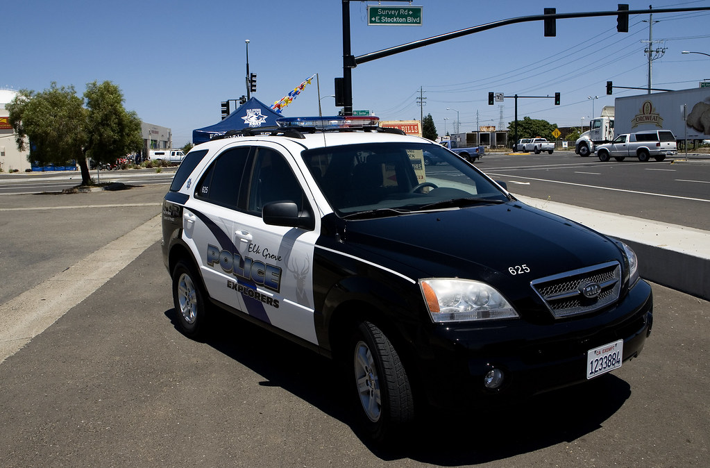
Elk Grove Police Explorer KIA 3-4 View

Sunrise in the Valley

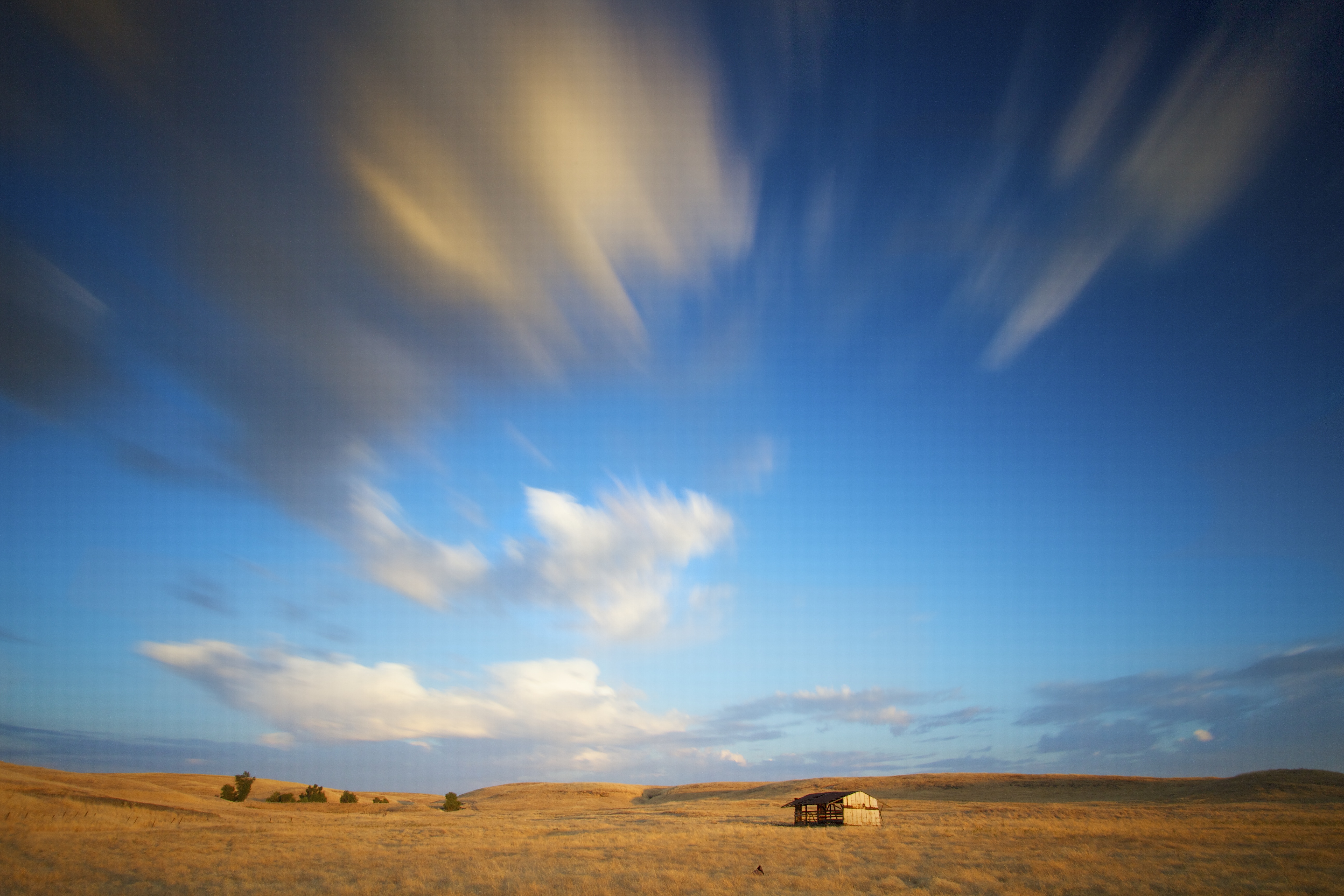
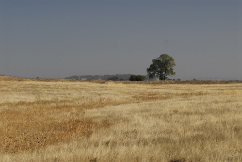
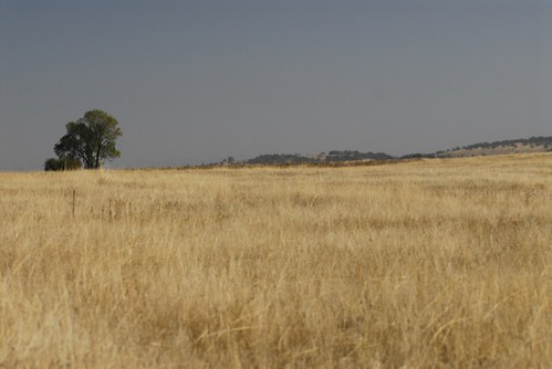
Fields of Gold

View from Monterey Bay Aquarium

sloughhouse ploughed field

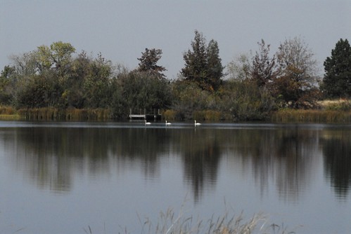
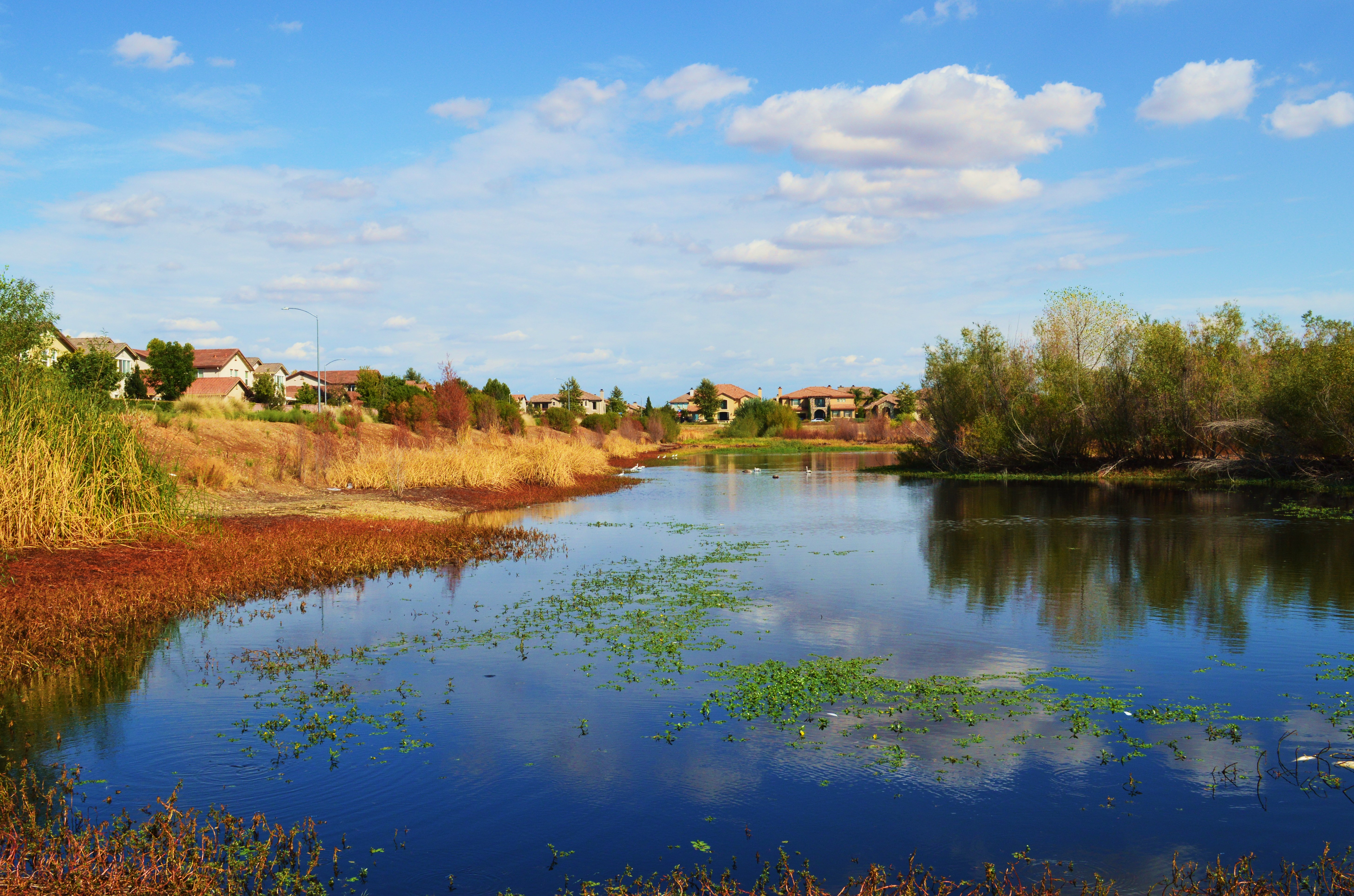
Rancho Seco Willlow

Sometime Ago
Summer Time
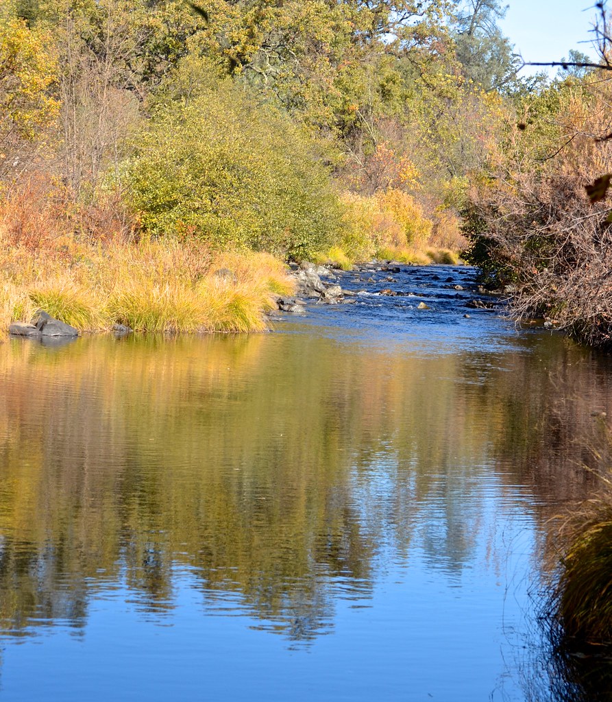
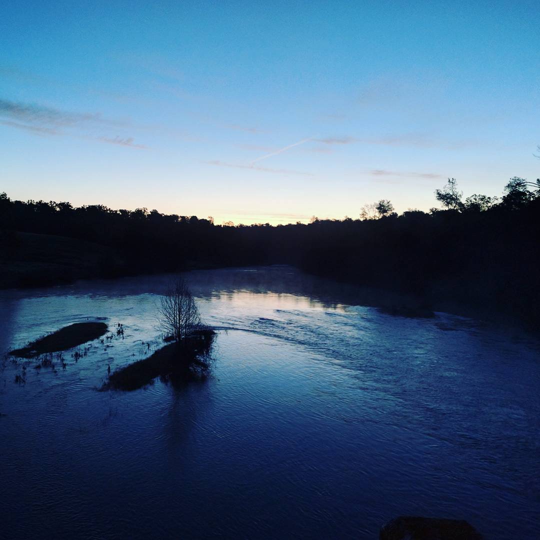
Cosumnes River, near old bridge
Rancho Seco010.JPG
Howard Ranch Hike026.JPG
Howard Ranch Hike040.JPG
Morning of the roundup.
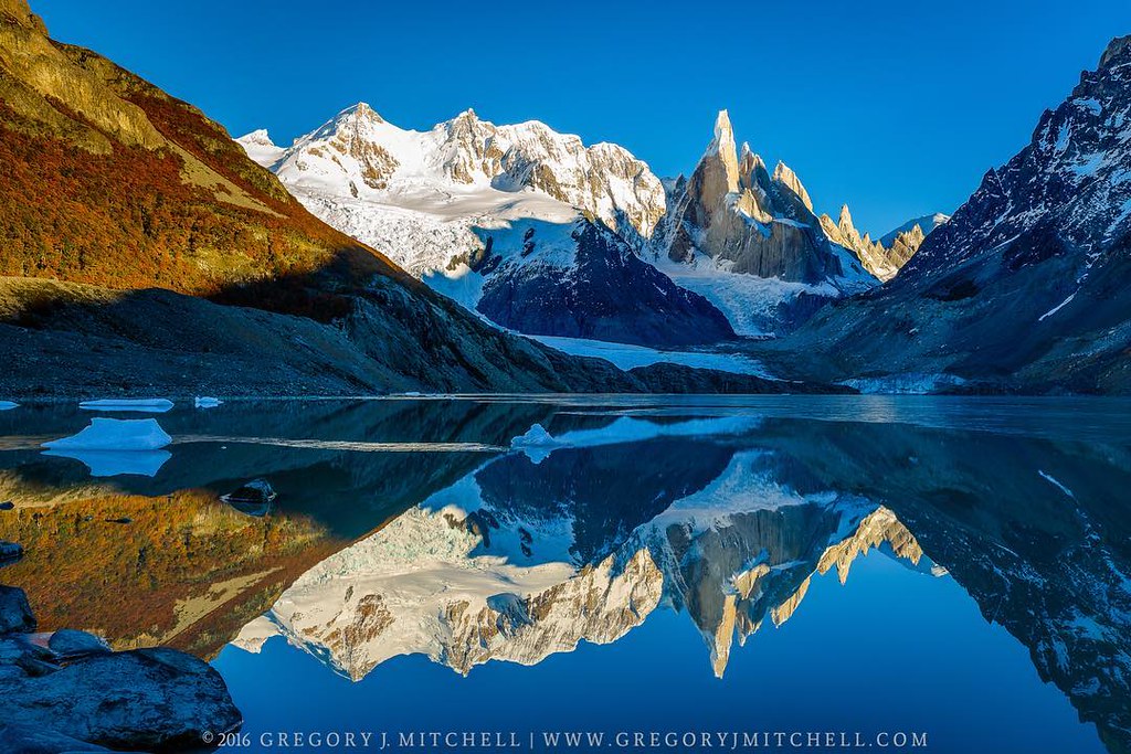
#cerrotorre #patagonia #argentina #earlymorninghike #tactilephoto #gregmitchellphotography
Howard Ranch Hike021.JPG
As Nature Intended

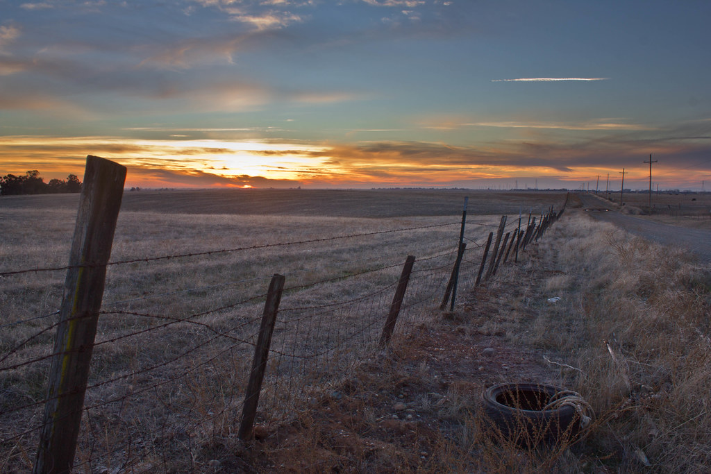
Paradise Fenced
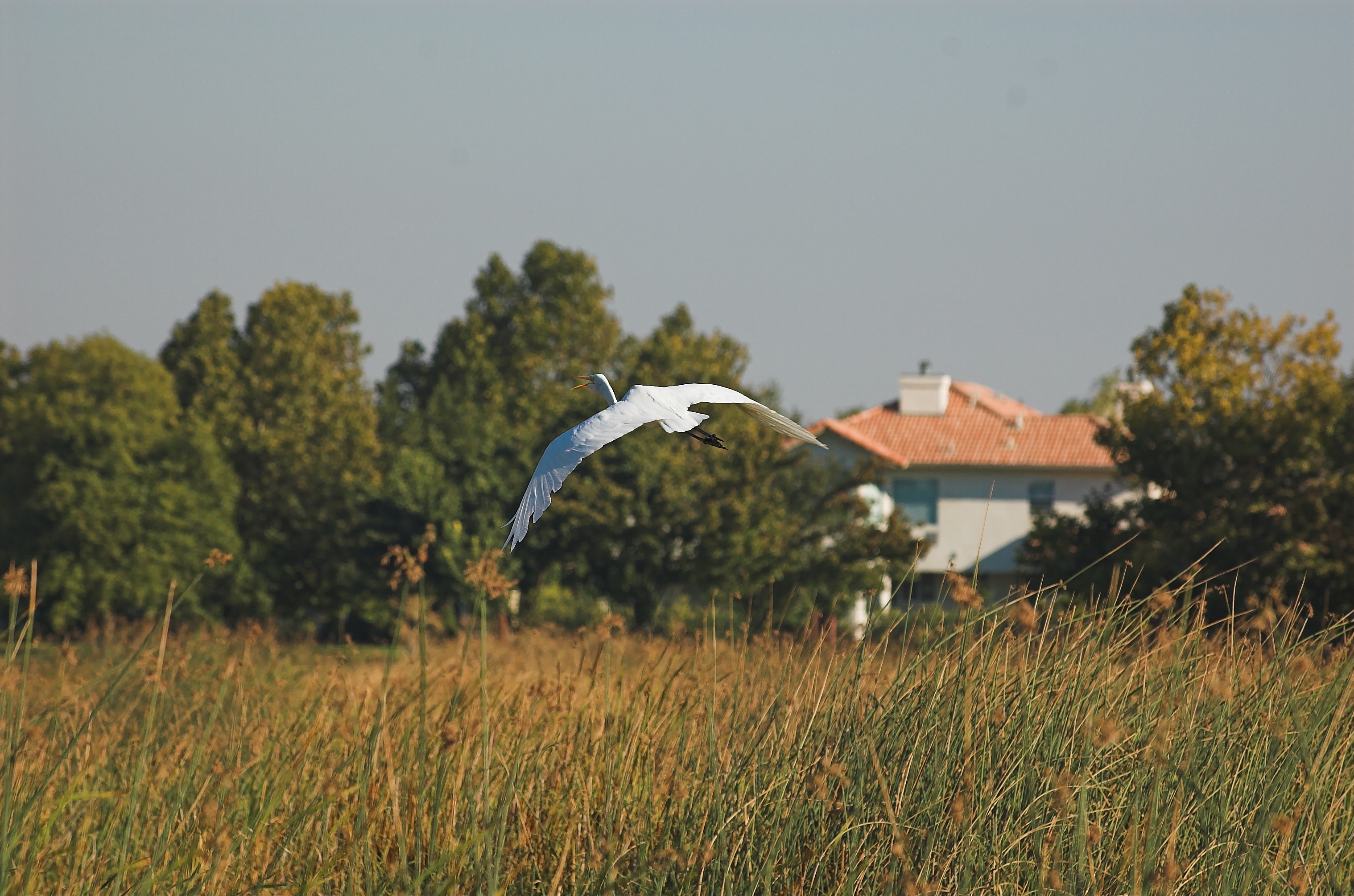
Egret in flight ...DSC_5194-01

Happy Valentine's Day! #valentinesday #goodinight #stanislausmagazine #stanislauscounty #ignorcal #sunset #landscapephotography #gregmitchellphotography #tactilephoto
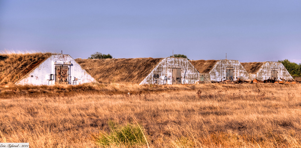
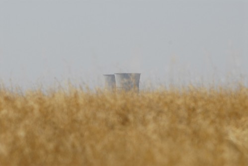
Cold War Munitions Bunker
Topographic Map of Tavernor Rd, Wilton, CA, USA
Find elevation by address:

Places near Tavernor Rd, Wilton, CA, USA:
Rancho Alta Mesa
12551 Peach Ln
12131 Overland Way
12488 Pear Ln
Peach Lane
8728 Dillard Rd
12190 Walmort Rd
12910 Orange Rd
Green Road
10150 Badger Creek Ln
Cherry Road
Colony Rd, Wilton, CA, USA
Folsom South Canal
Folsom South Canal
10333 Badger Creek Ln
Berry Road
Dillard Rd, Wilton, CA, USA
11540 Badger Colony Ct
8640 Sparta Ln
10960 Alta Mesa Rd
Recent Searches:
- Elevation of Woolwine, VA, USA
- Elevation of Lumagwas Diversified Farmers Multi-Purpose Cooperative, Lumagwas, Adtuyon, RV32+MH7, Pangantucan, Bukidnon, Philippines
- Elevation of Homestead Ridge, New Braunfels, TX, USA
- Elevation of Orchard Road, Orchard Rd, Marlborough, NY, USA
- Elevation of 12 Hutchinson Woods Dr, Fletcher, NC, USA
- Elevation of Holloway Ave, San Francisco, CA, USA
- Elevation of Norfolk, NY, USA
- Elevation of - San Marcos Pass Rd, Santa Barbara, CA, USA
- Elevation of th Pl SE, Issaquah, WA, USA
- Elevation of 82- D Rd, Captain Cook, HI, USA