Elevation of Oshika, Shimoina District, Nagano Prefecture, Japan
Location: Japan > Nagano Prefecture > Shimoina District >
Longitude: 138.034016
Latitude: 35.5782224
Elevation: 675m / 2215feet
Barometric Pressure: 93KPa
Elevation Map:
Satellite Map:
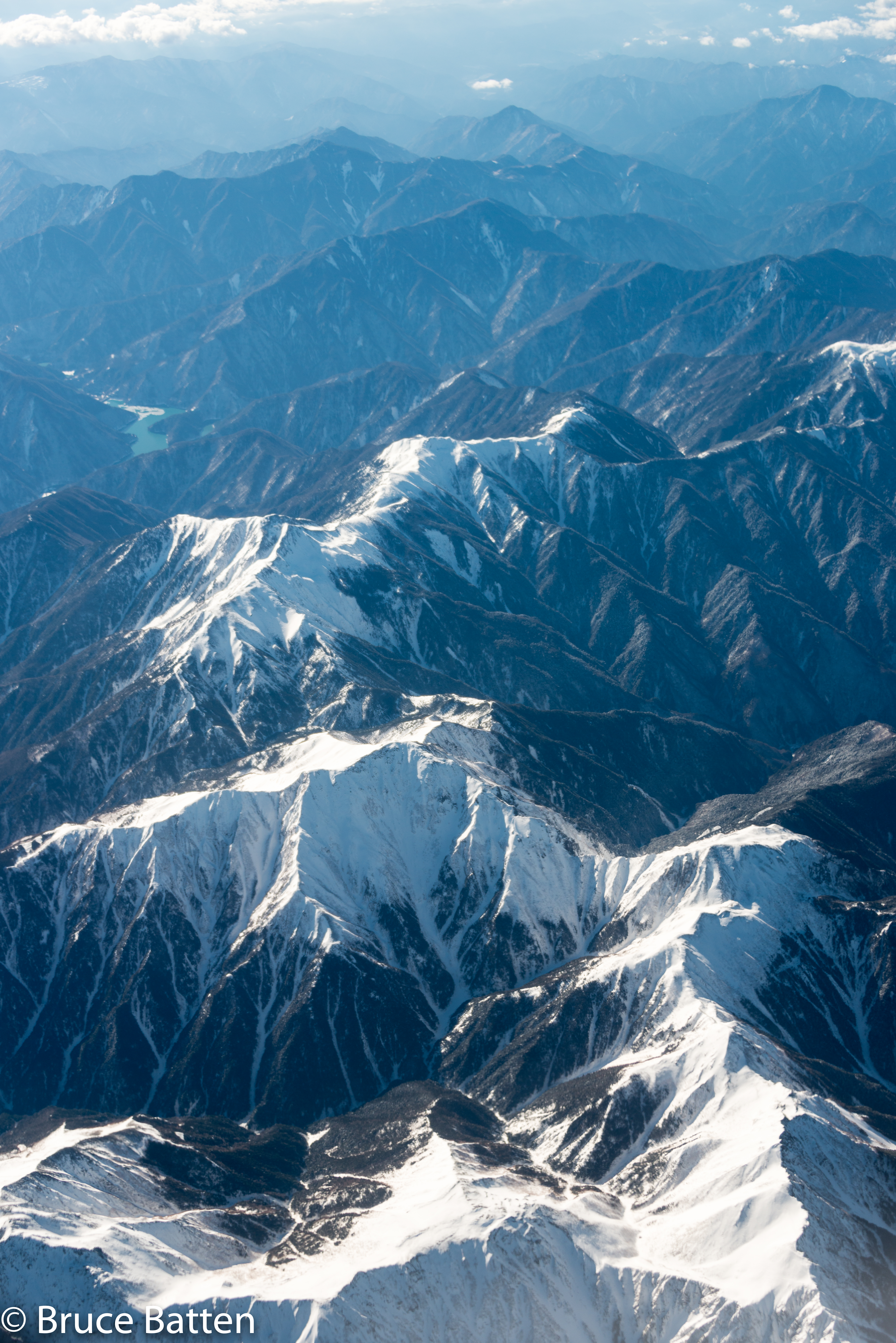
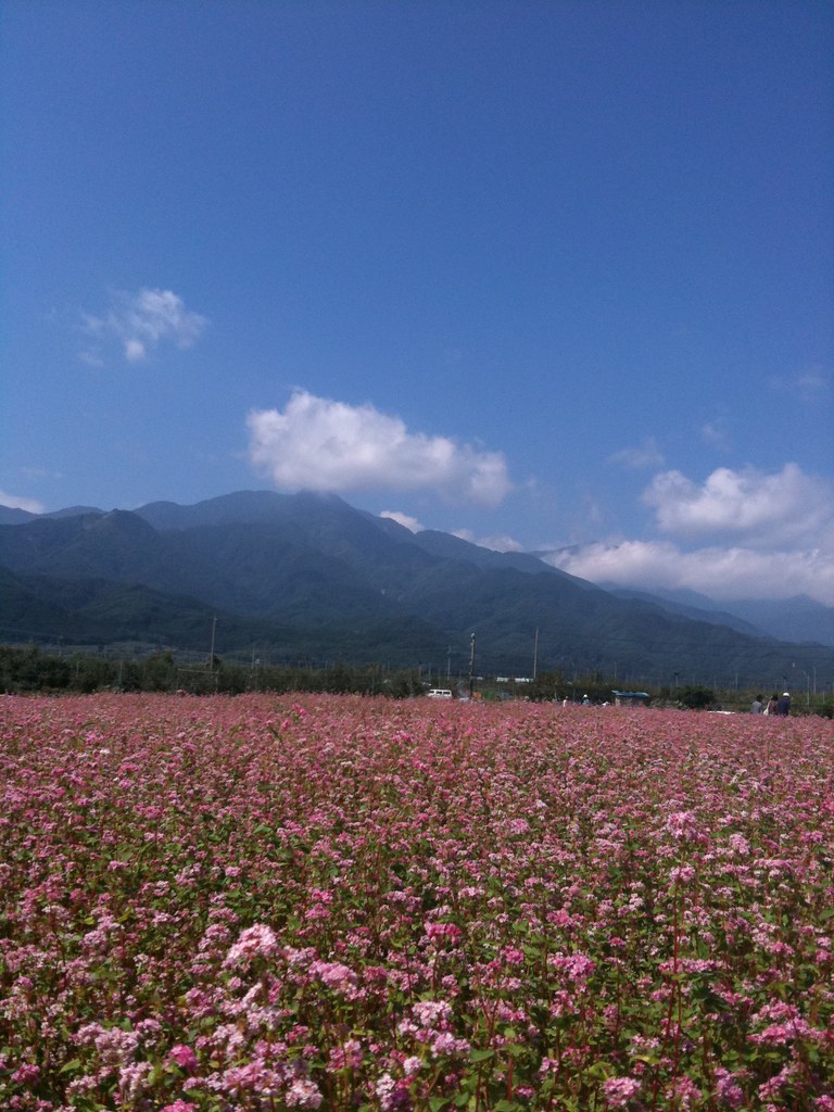
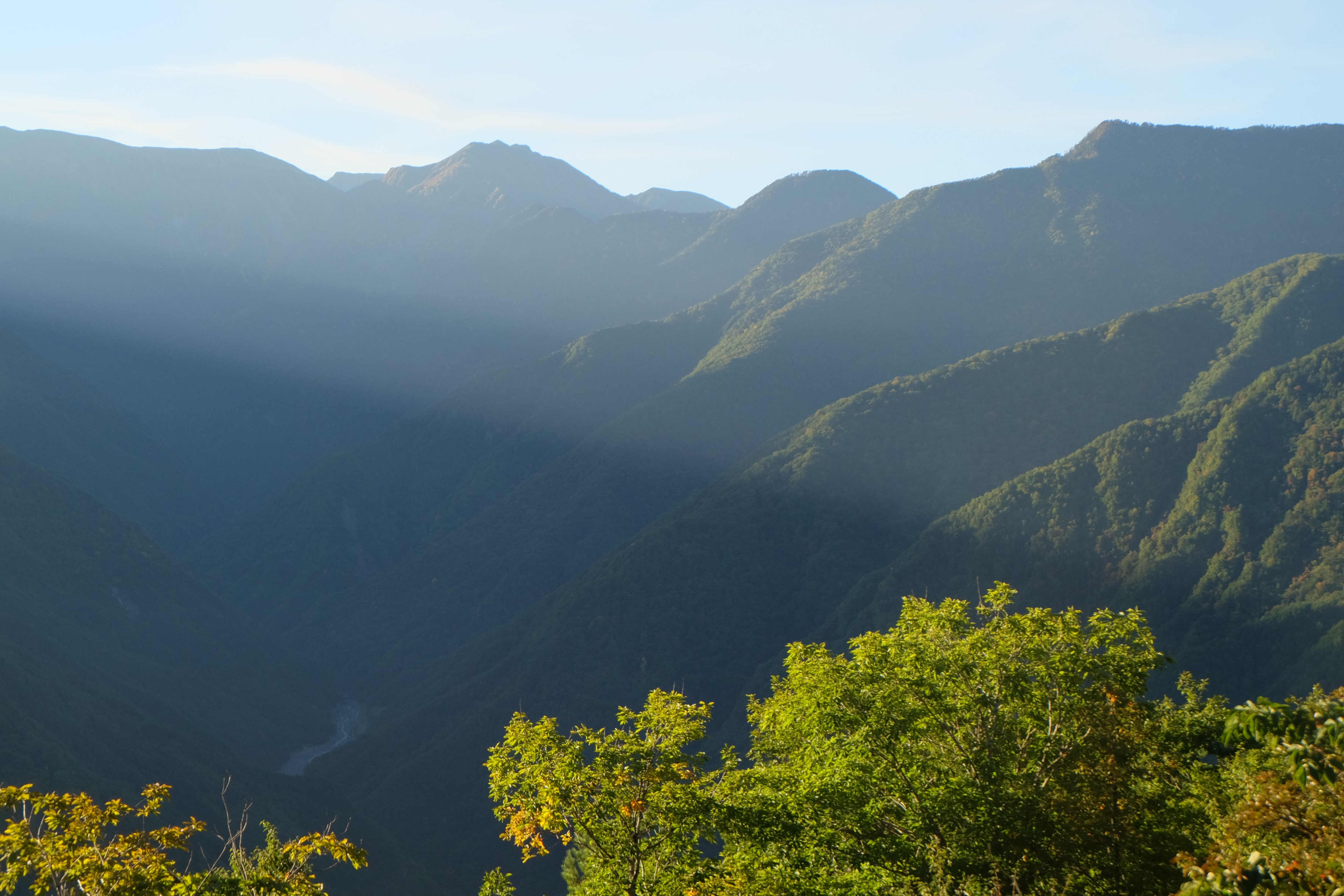
Related Photos:

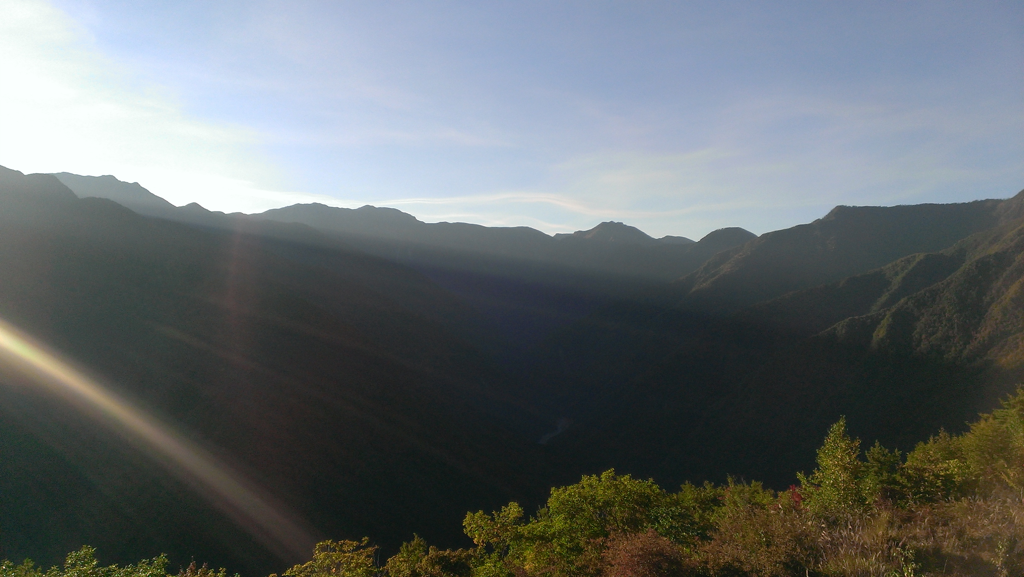
The Window View

DSCN0171_-175_View
150203 HND-FUK-16.jpg
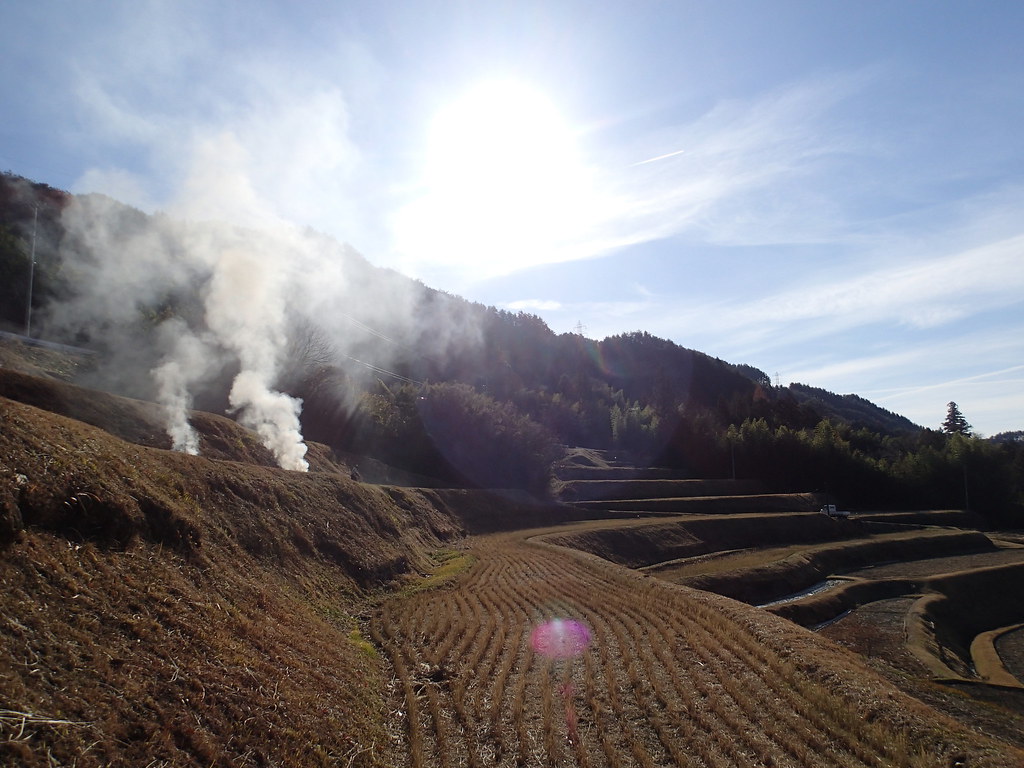
棚田その2
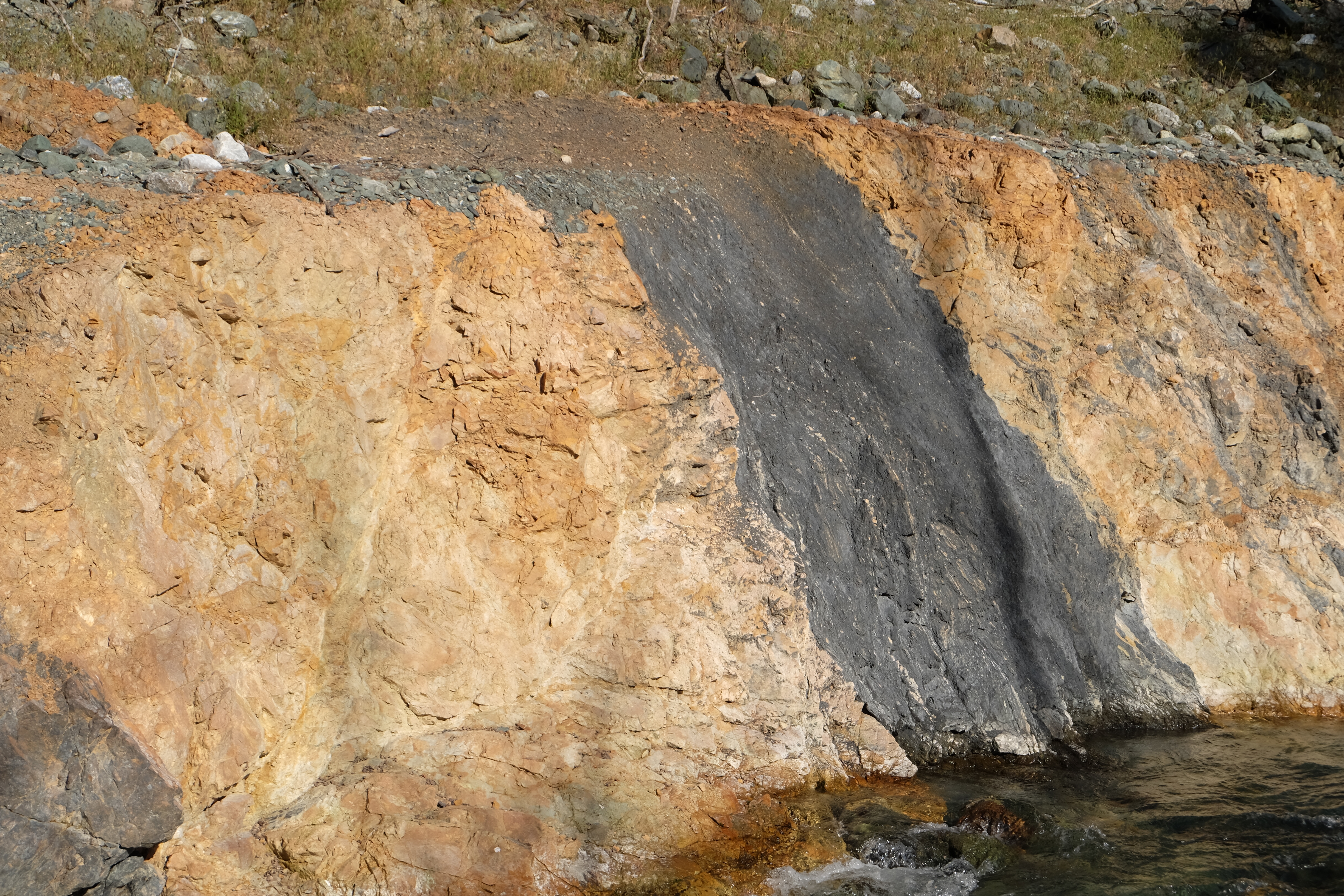
IMG_0020.JPG
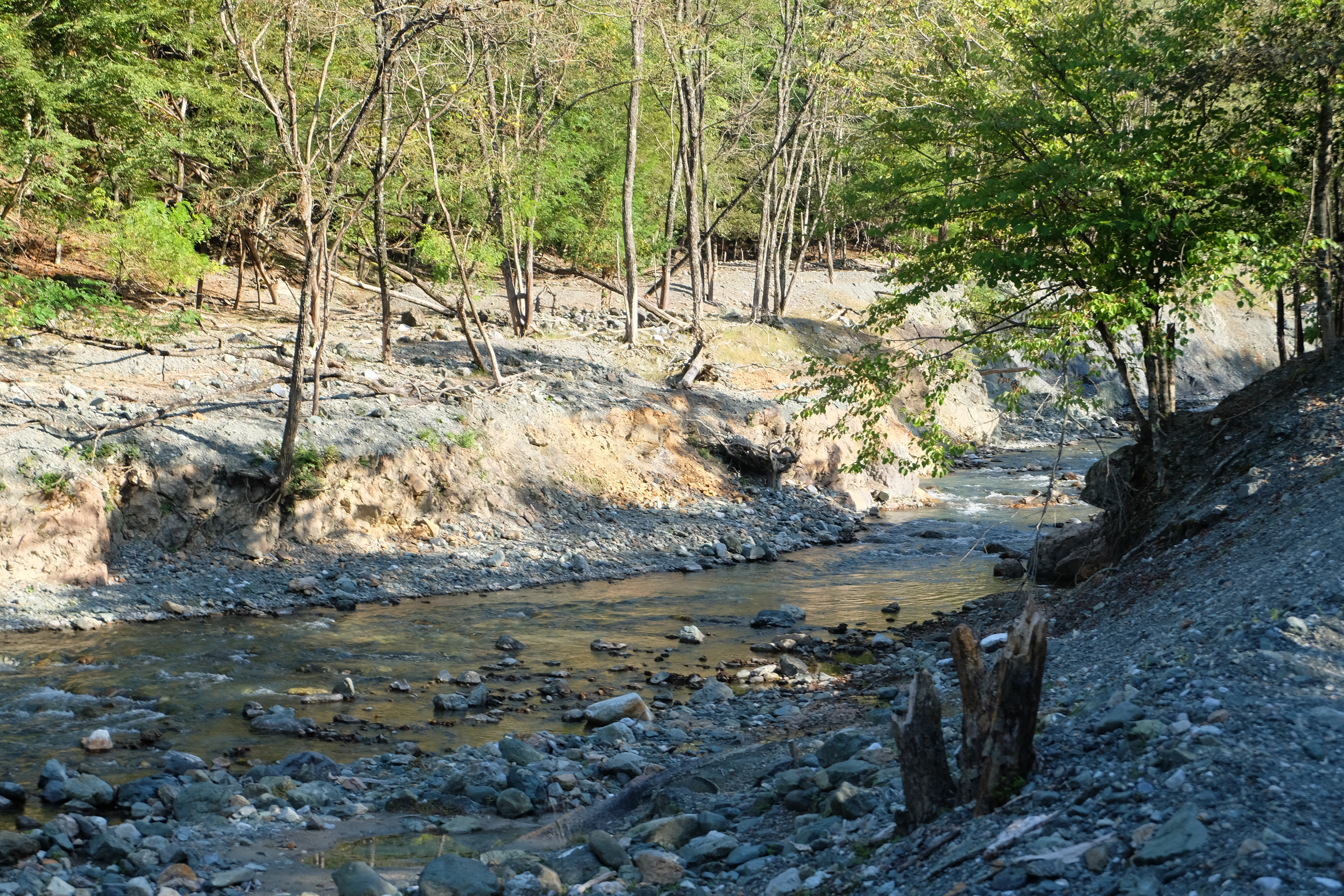
DSCF8086.JPG
DSCF8231.JPG

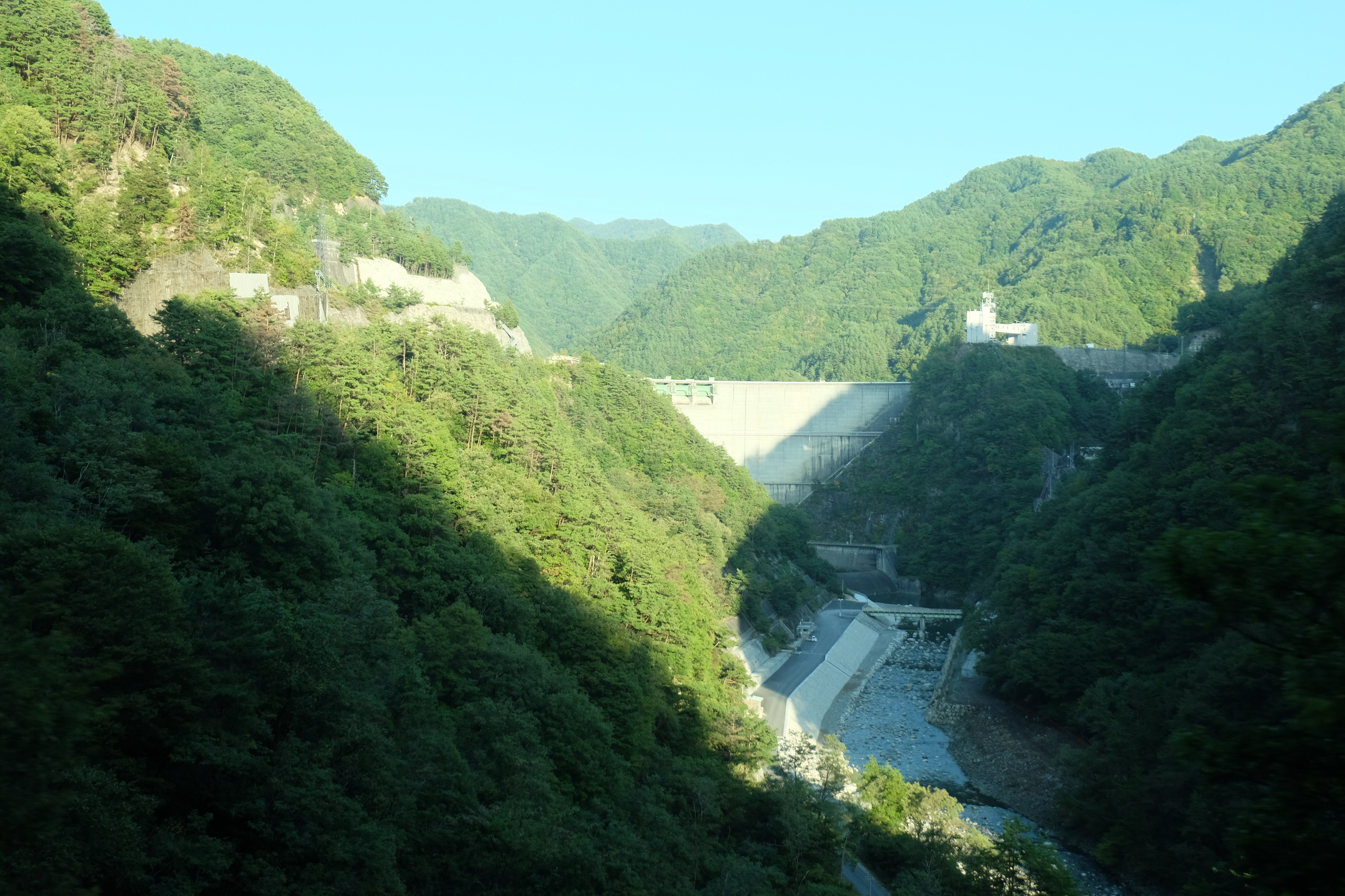
小渋ダム
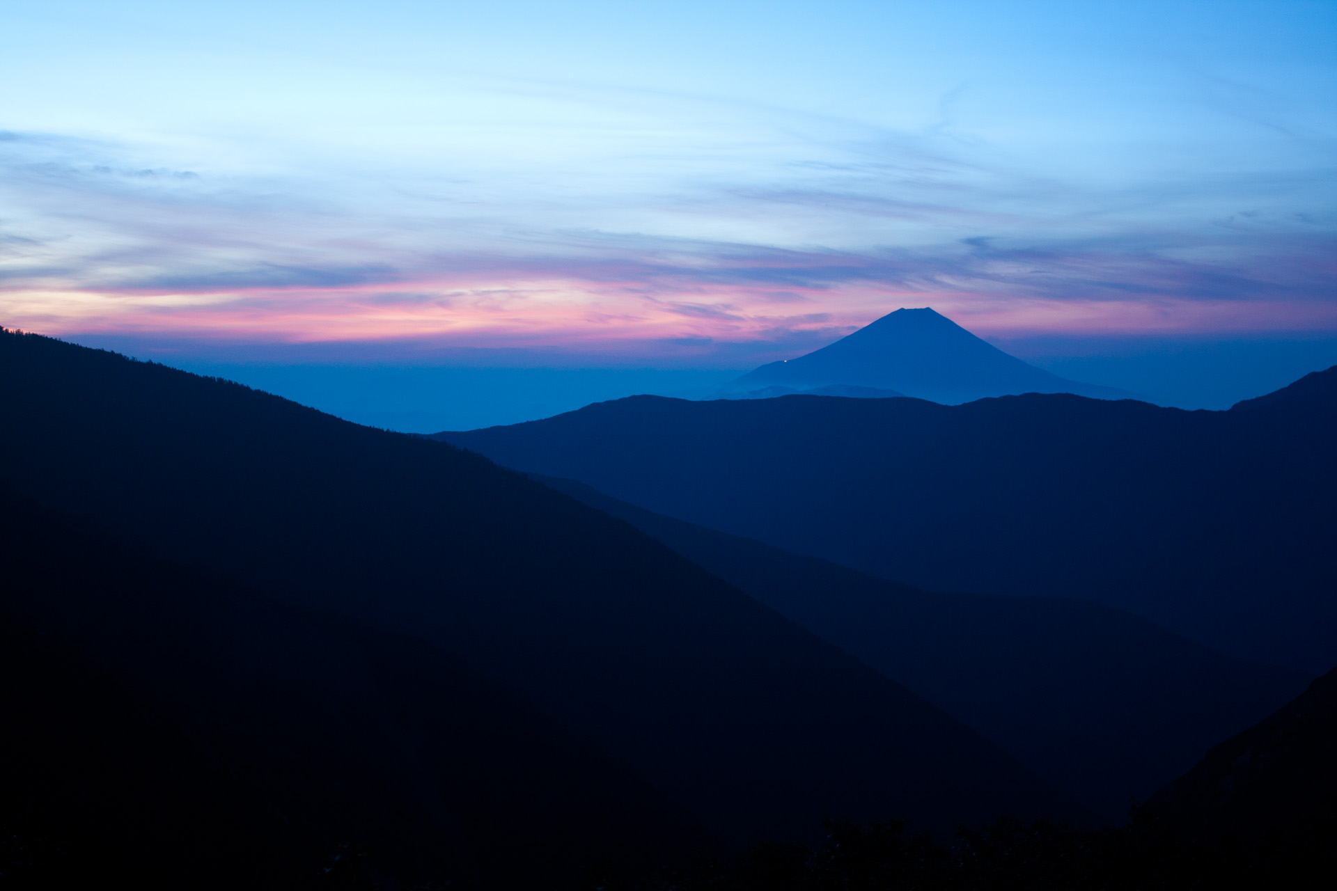
富士山
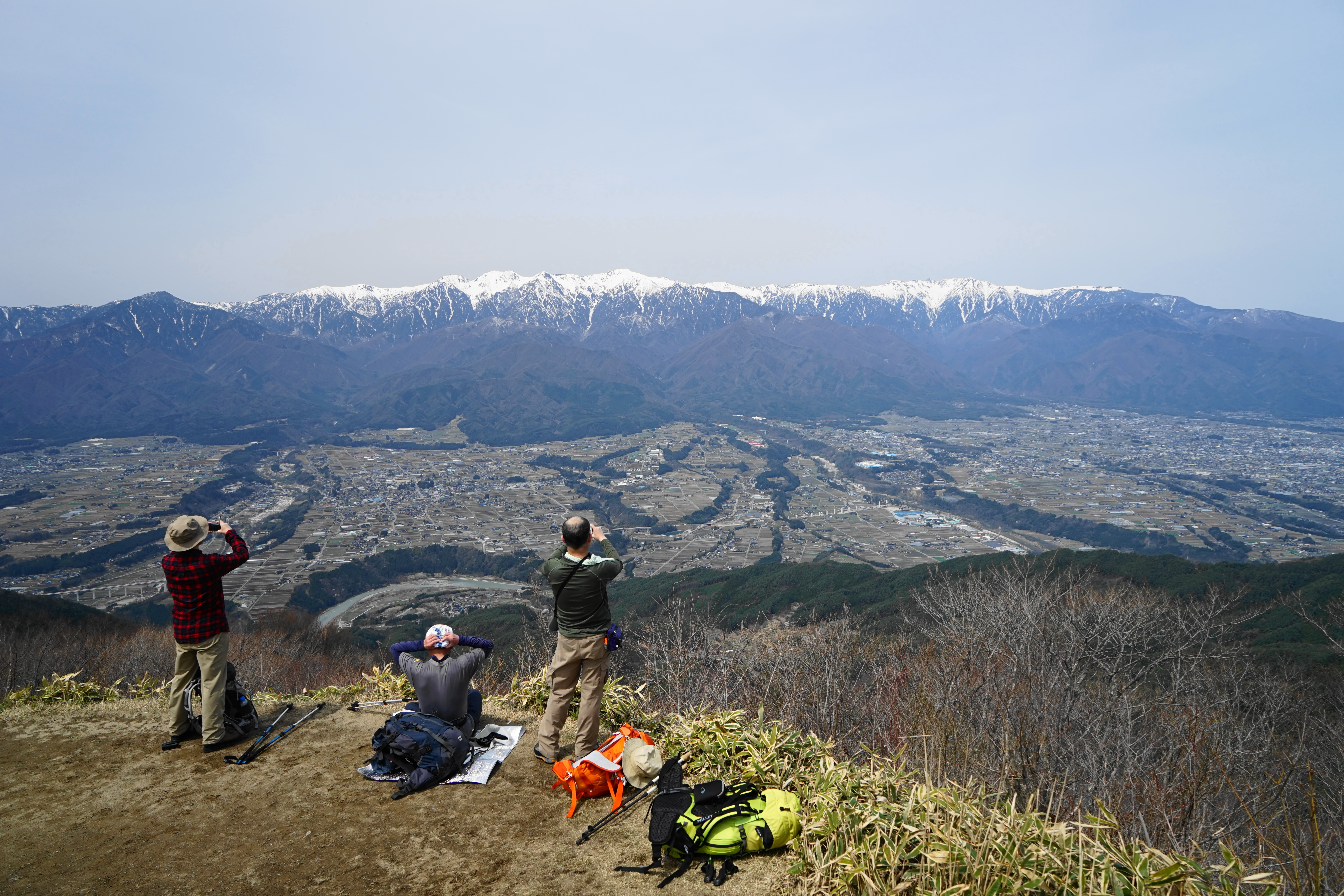
陣馬形山
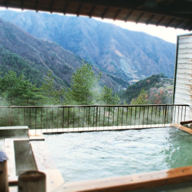
Onsen, Ooshika-village #landscape #onsen #大鹿村
DSCF8205.JPG
DSCF8240.JPG
DSCF8363.JPG
DSCF8217.JPG
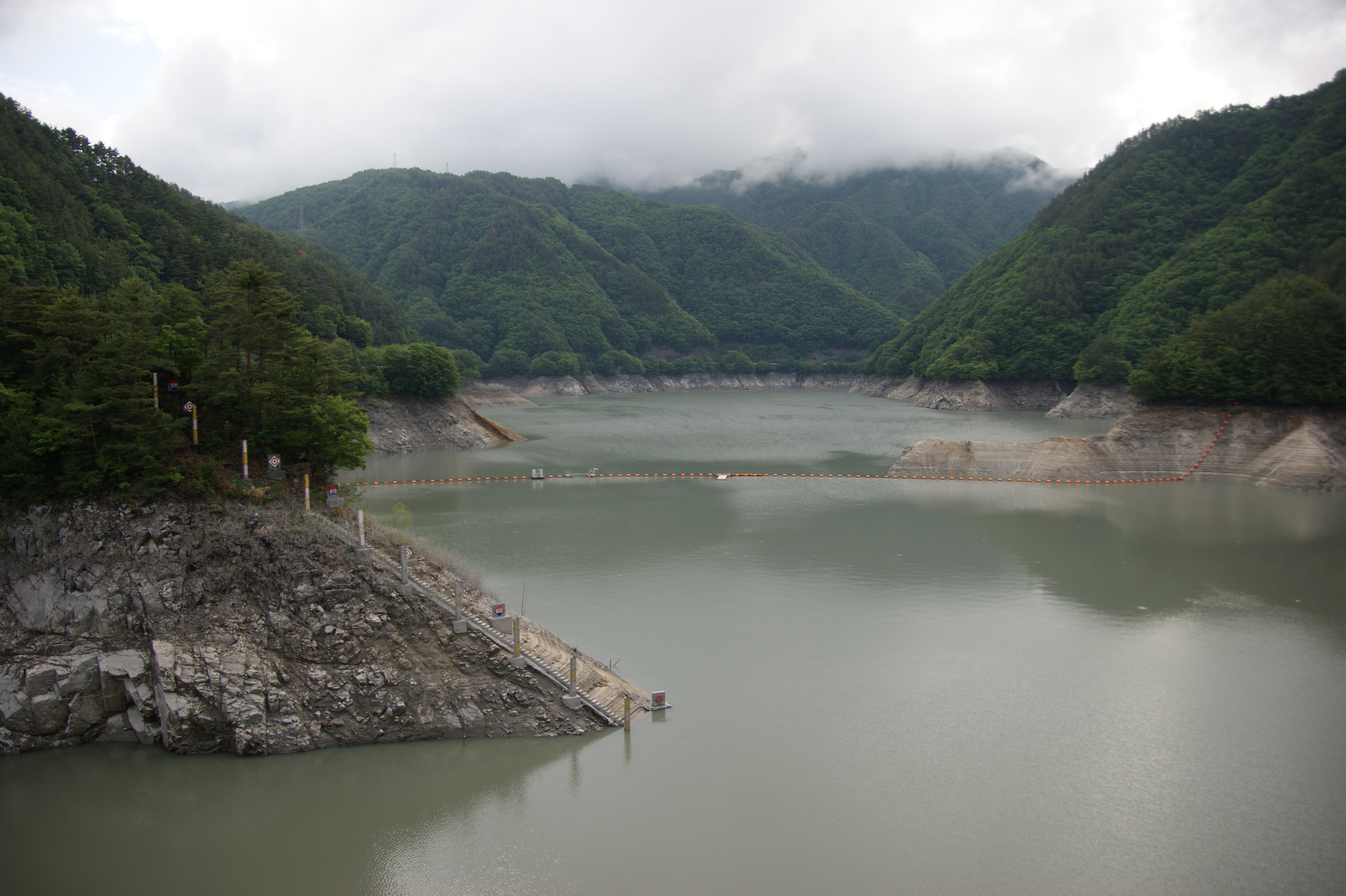
小渋ダム
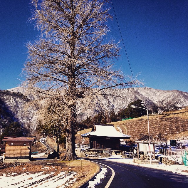
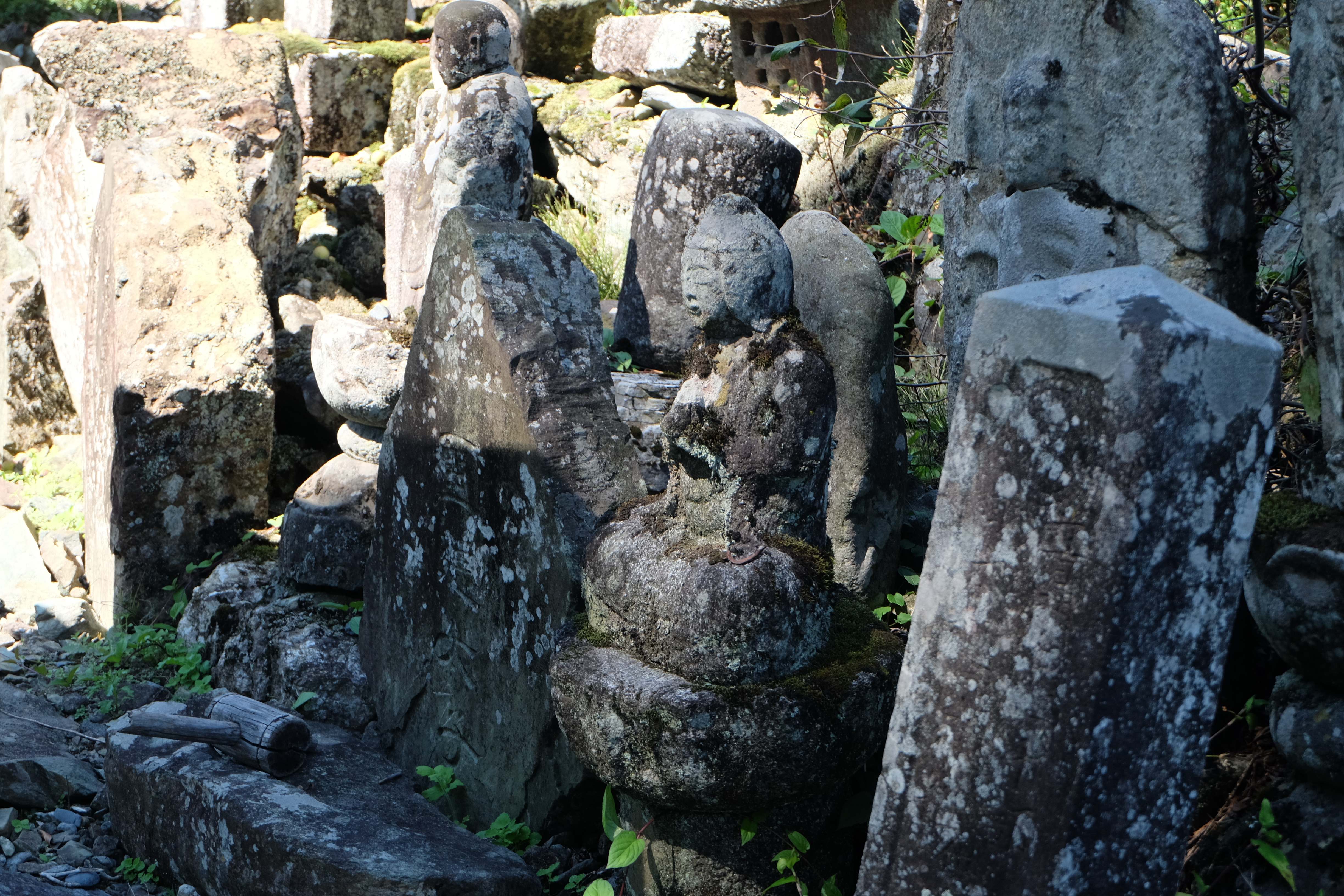
A temple in Oshika village #landscape #temple #village #cityscape #travel
DSCF8087.JPG
DSCF8060.JPG
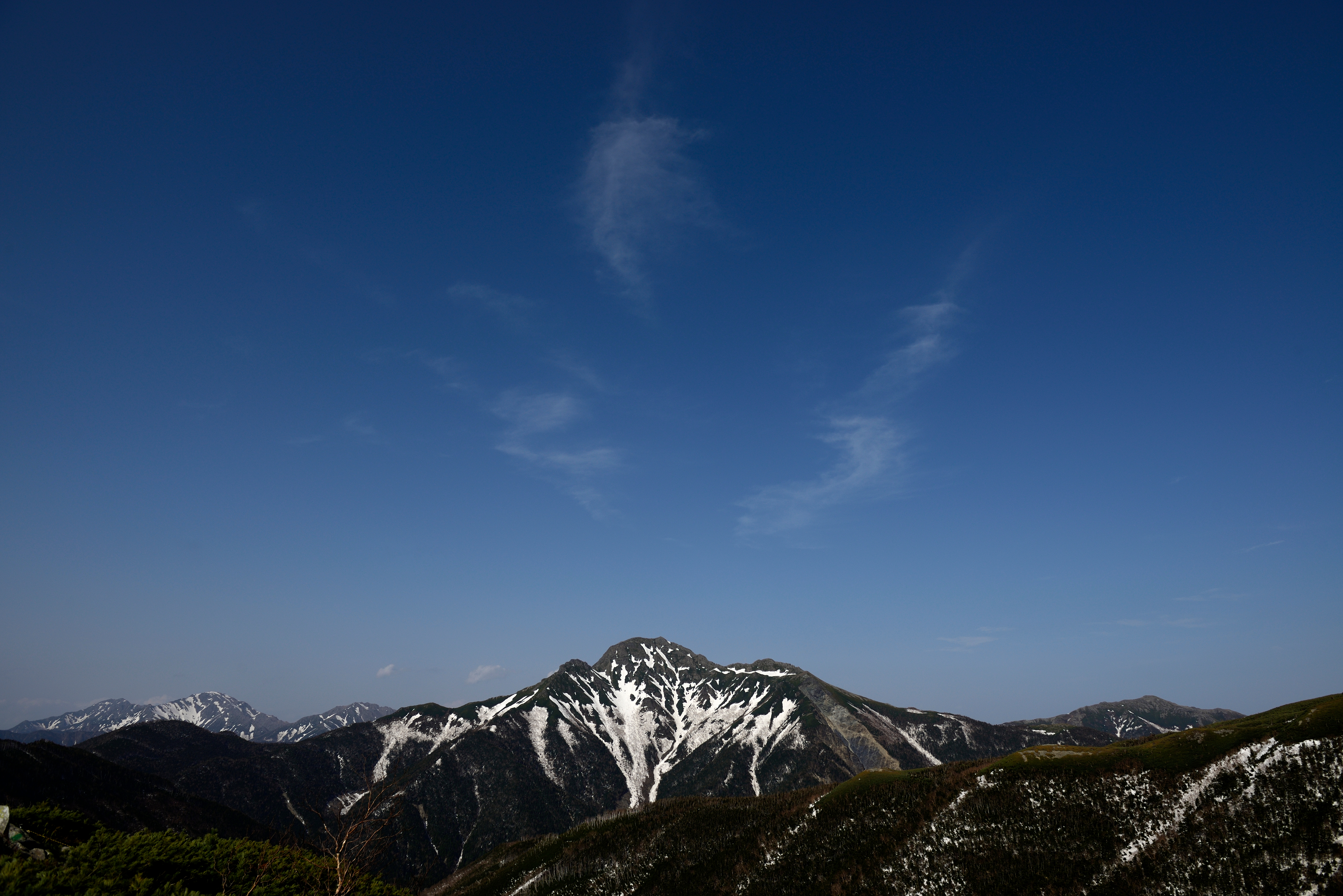
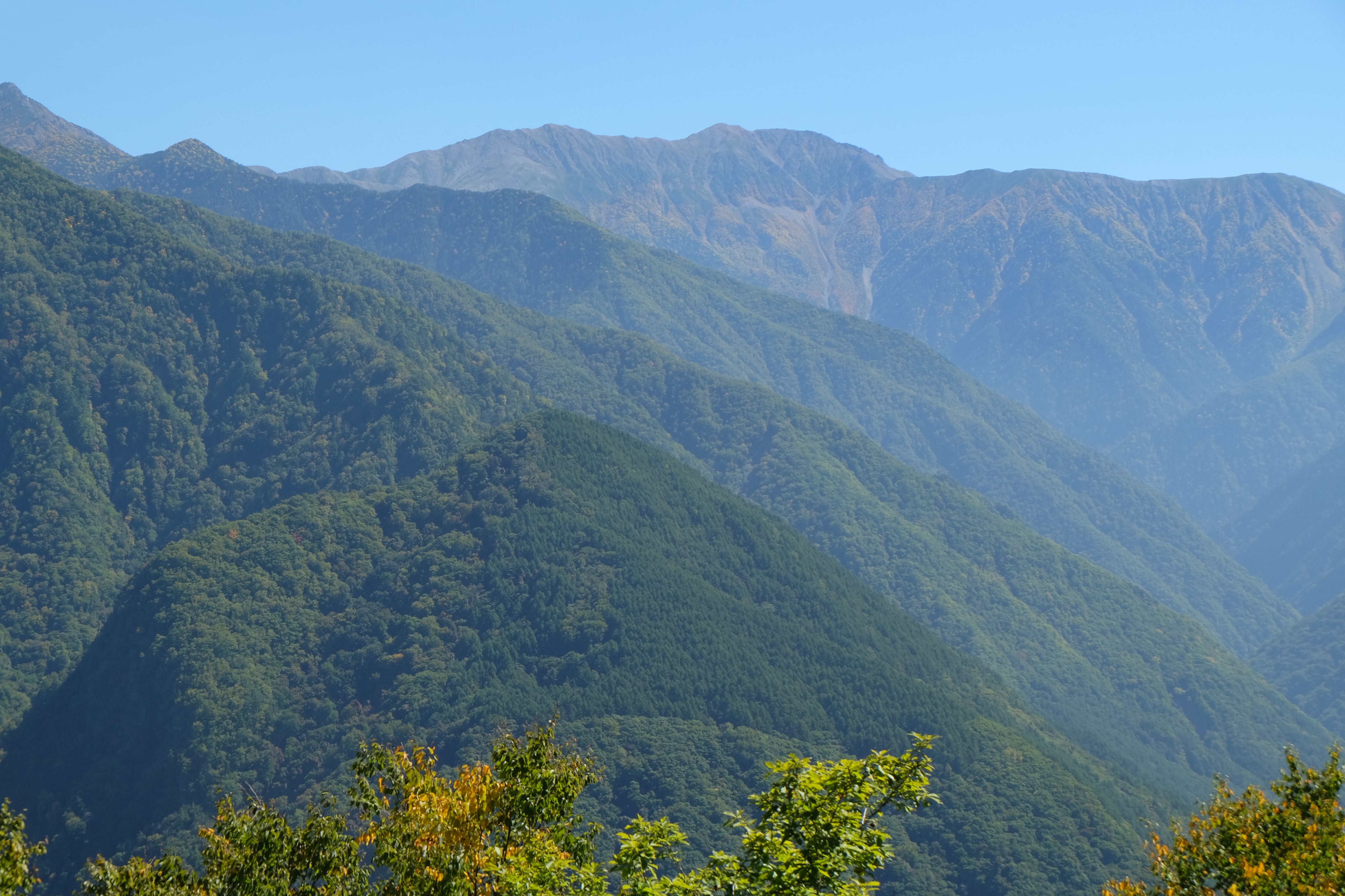
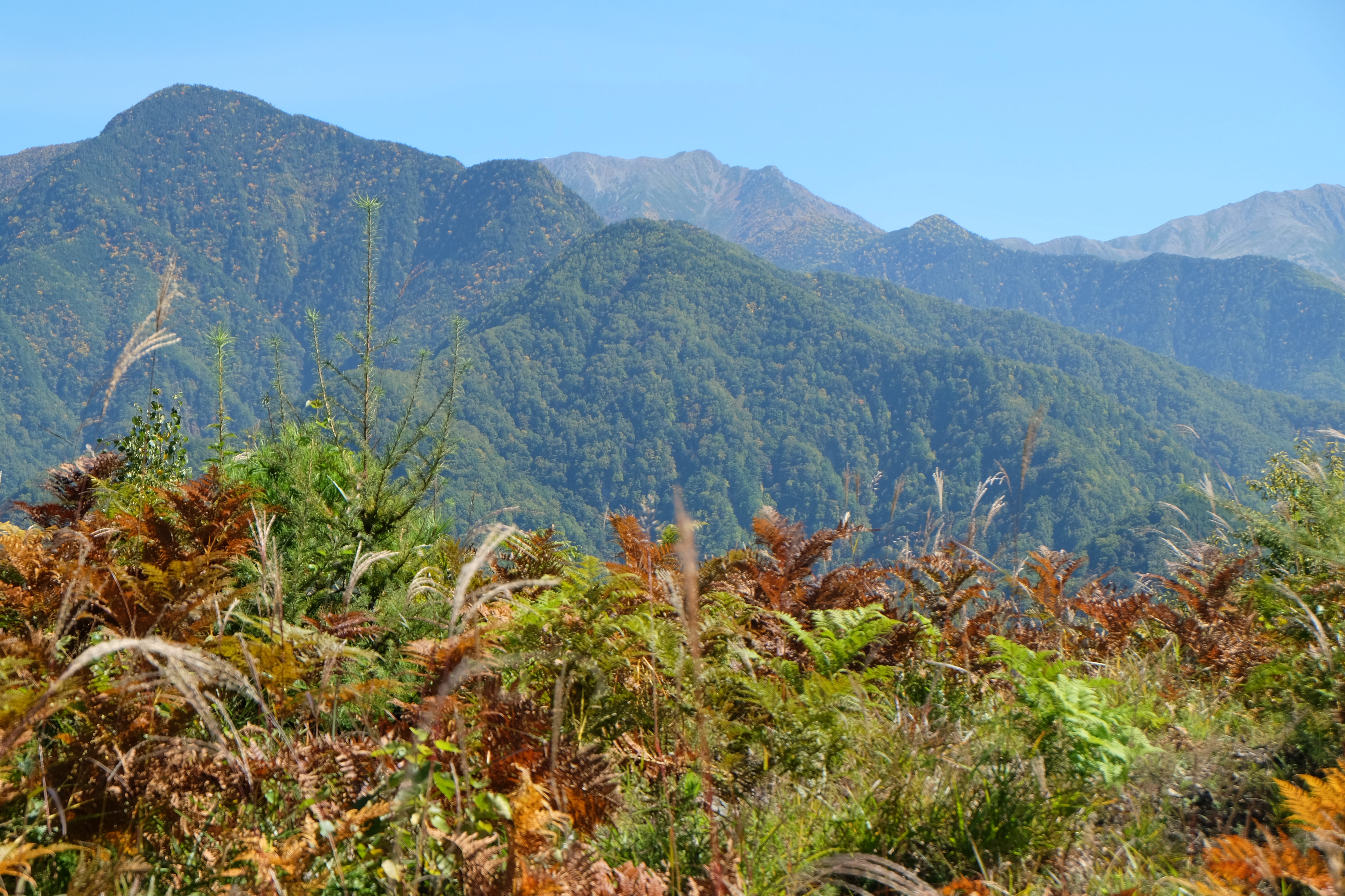
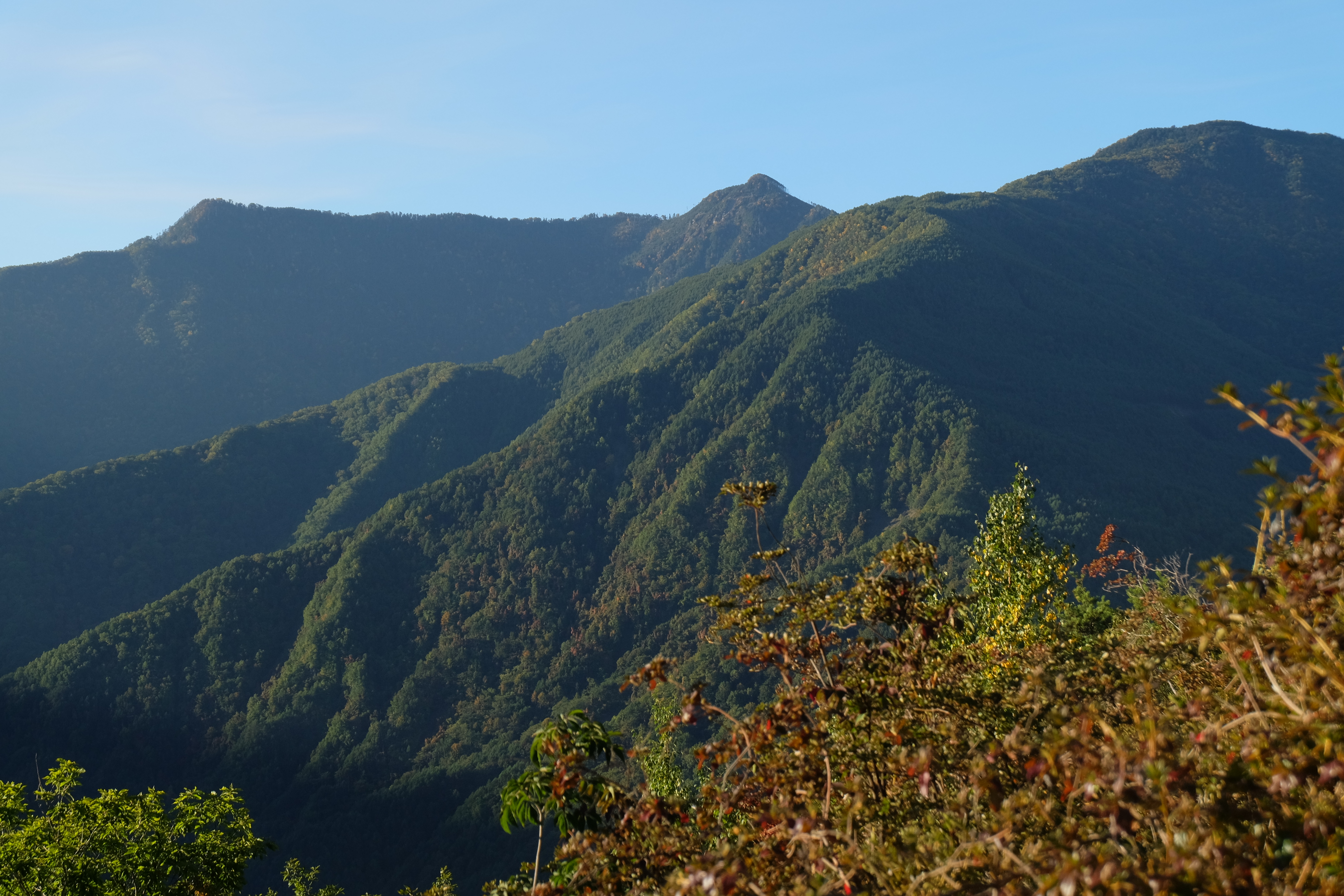
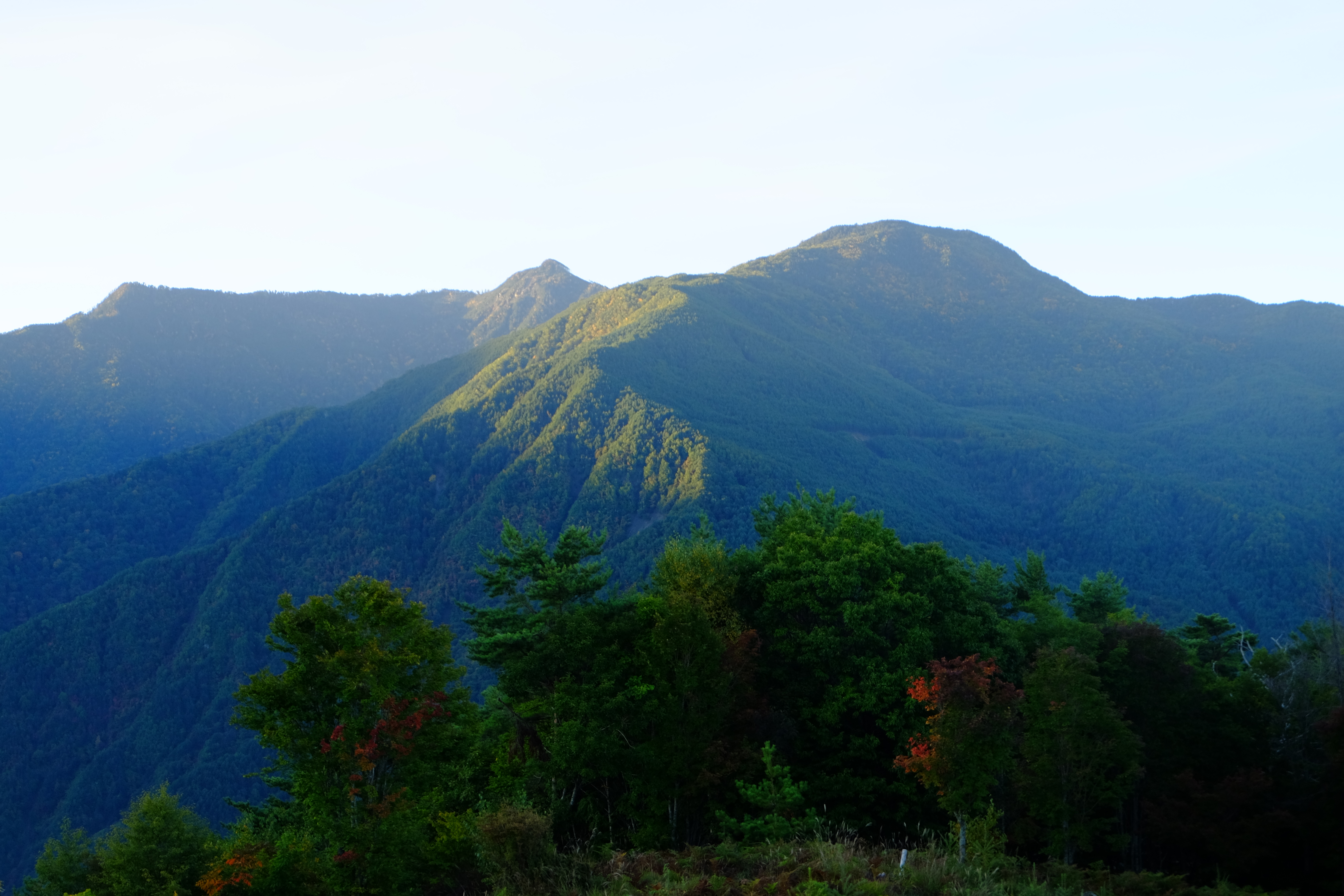
Mountains of early summer
DSCF8364.JPG
DSCF8342.JPG
DSCF8402.JPG
IMAG0450.jpg
Topographic Map of Oshika, Shimoina District, Nagano Prefecture, Japan
Find elevation by address:

Places in Oshika, Shimoina District, Nagano Prefecture, Japan:
Places near Oshika, Shimoina District, Nagano Prefecture, Japan:
Kashio, Ōshika-mura, Shimoina-gun, Nagano-ken -, Japan
2283 Kashio
Ōkusa, Nakagawa-mura, Kamiina-gun, Nagano-ken -, Japan
Kumashiro, Toyooka-mura, Shimoina-gun, Nagano-ken -, Japan
Nakagawa
Nakazawa, Komagane-shi, Nagano-ken -, Japan
Kumashiro, Toyooka-mura, Shimoina-gun, Nagano-ken -, Japan
Kumashiro, 5480
Matsukawa
Hongō, Iijima-machi, Kamiina-gun, Nagano-ken -, Japan
-4 Motoōjima, Matsukawa-machi, Shimoina-gun, Nagano-ken -, Japan
Toyooka
Kumashiro
Iijima
- Nanakubo, Iijima-machi, Kamiina-gun, Nagano-ken -, Japan
Shimodaira, Komagane-shi, Nagano-ken -, Japan
-82 Akaho, Komagane-shi, Nagano-ken -, Japan
Akaho
Komagane
Higashiina, Komagane-shi, Nagano-ken -, Japan
Recent Searches:
- Elevation of Elwyn Dr, Roanoke Rapids, NC, USA
- Elevation of Congressional Dr, Stevensville, MD, USA
- Elevation of Bellview Rd, McLean, VA, USA
- Elevation of Stage Island Rd, Chatham, MA, USA
- Elevation of Shibuya Scramble Crossing, 21 Udagawacho, Shibuya City, Tokyo -, Japan
- Elevation of Jadagoniai, Kaunas District Municipality, Lithuania
- Elevation of Pagonija rock, Kranto 7-oji g. 8"N, Kaunas, Lithuania
- Elevation of Co Rd 87, Jamestown, CO, USA
- Elevation of Tenjo, Cundinamarca, Colombia
- Elevation of Côte-des-Neiges, Montreal, QC H4A 3J6, Canada