Elevation of Matsukawa, Shimoina District, Nagano Prefecture, Japan
Location: Japan > Nagano Prefecture > Shimoina District >
Longitude: 137.909566
Latitude: 35.5972917
Elevation: 544m / 1785feet
Barometric Pressure: 95KPa
Elevation Map:
Satellite Map:
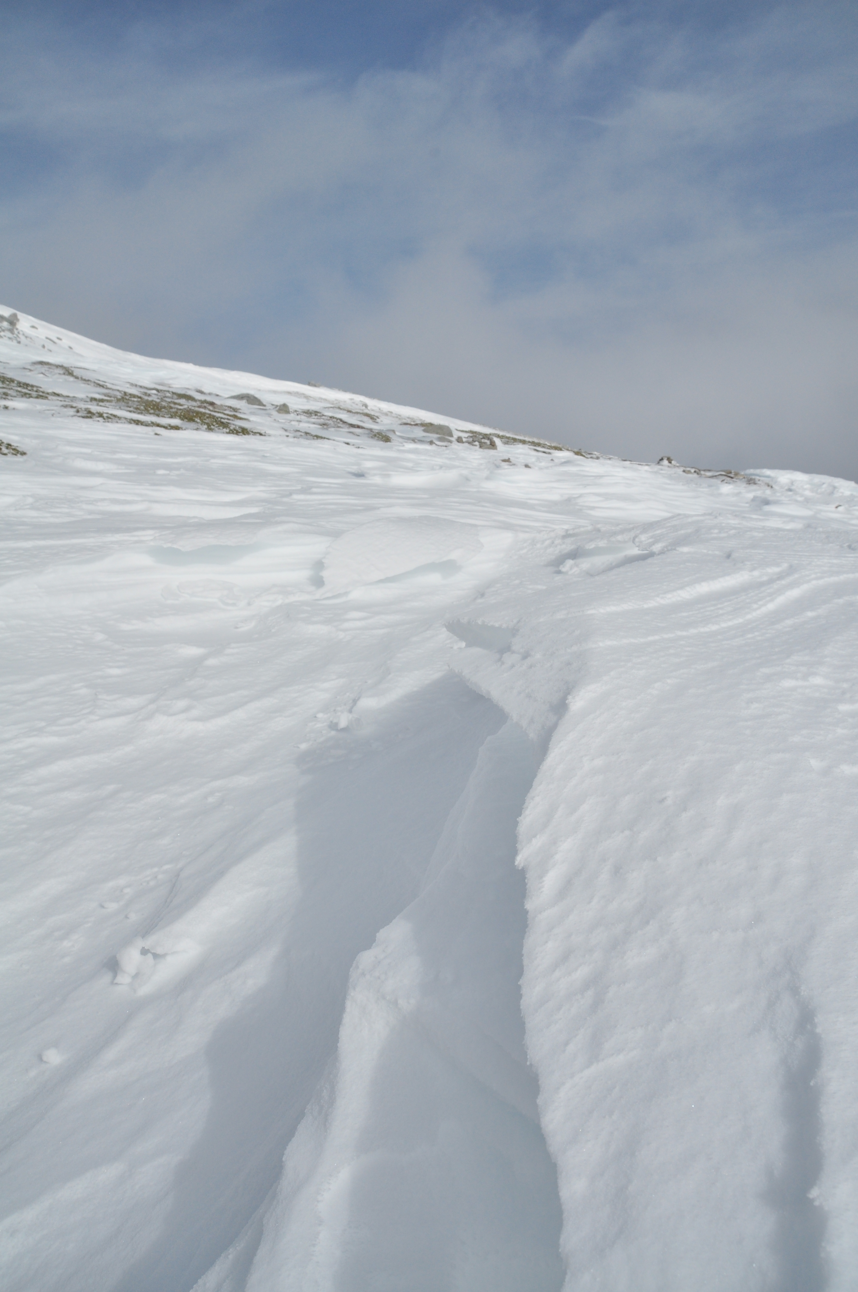
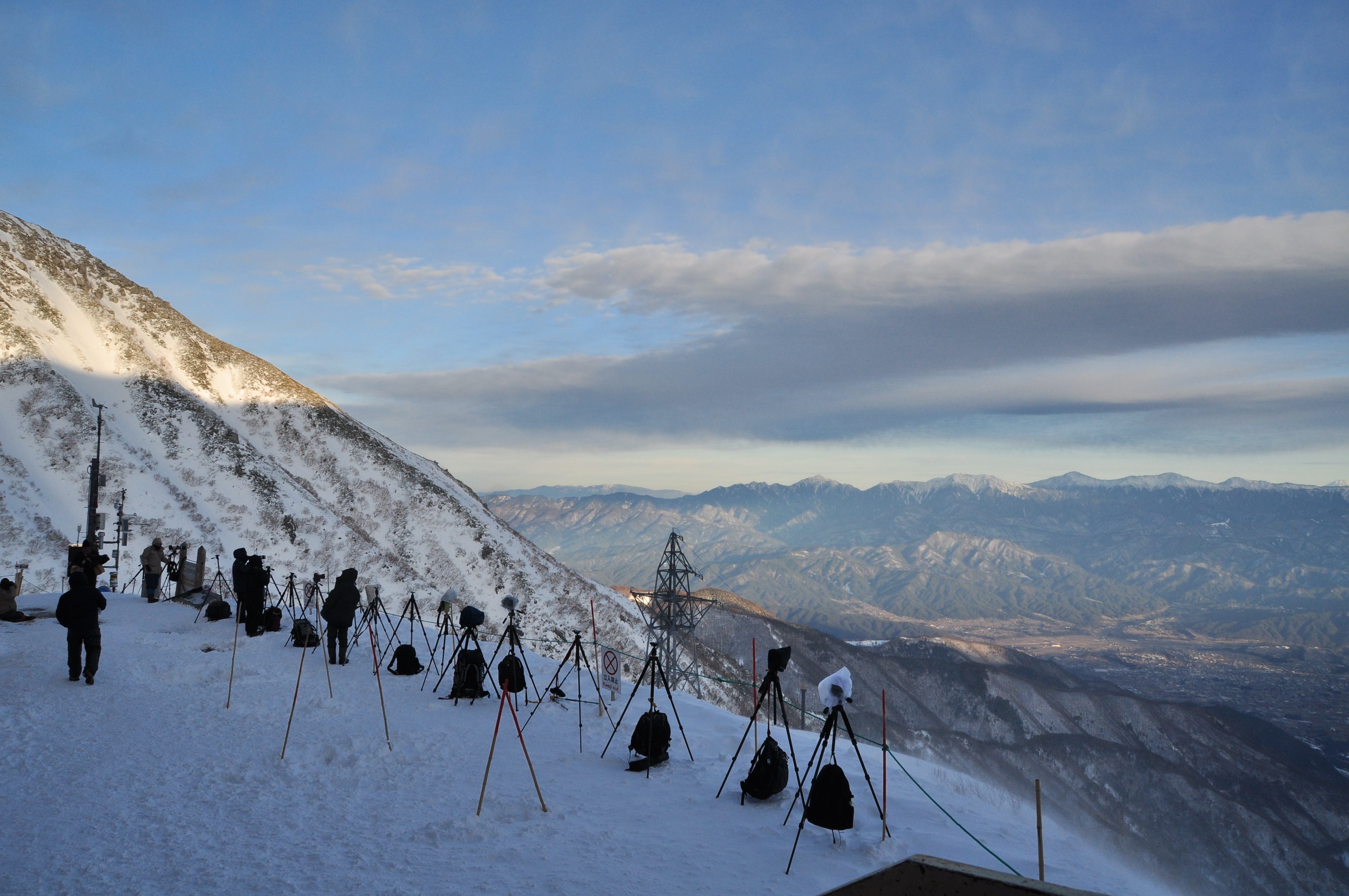
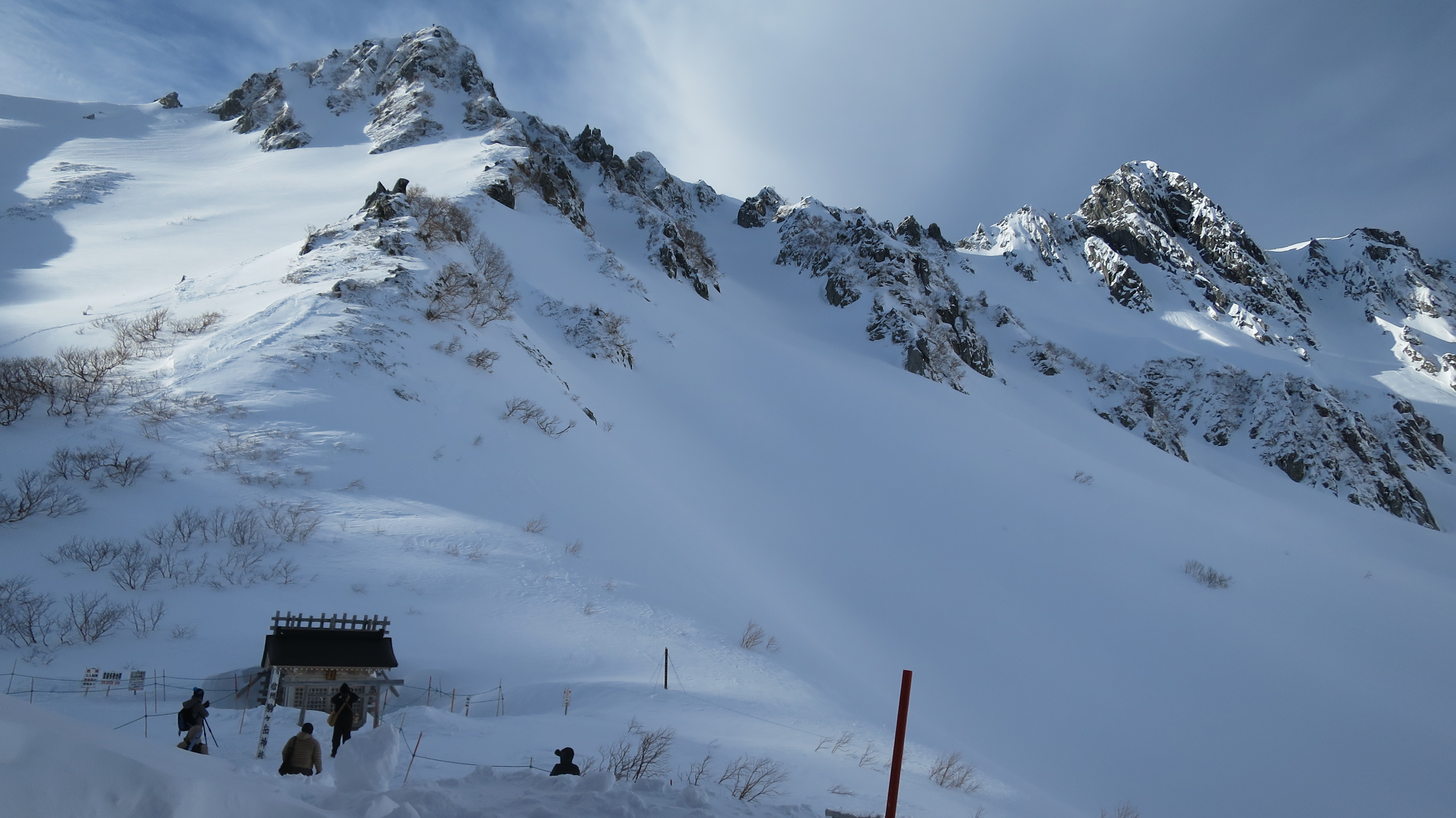
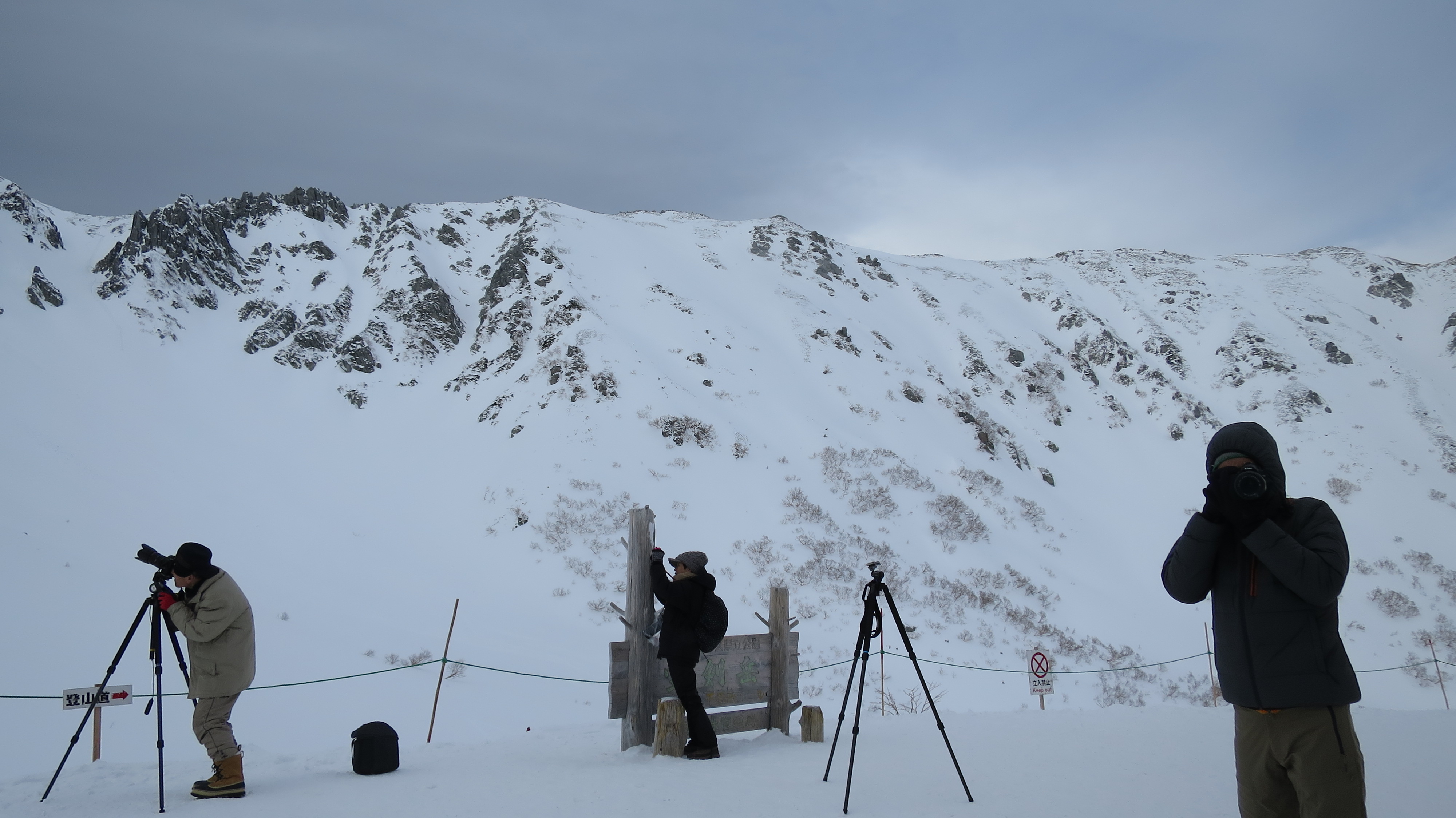
Related Photos:
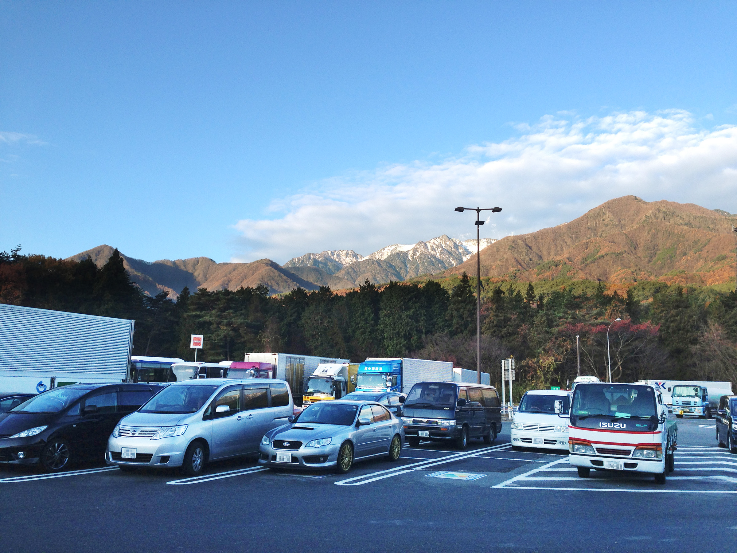
Mt.Komagatake, view from "Komagatake service area" on Chuou expressway
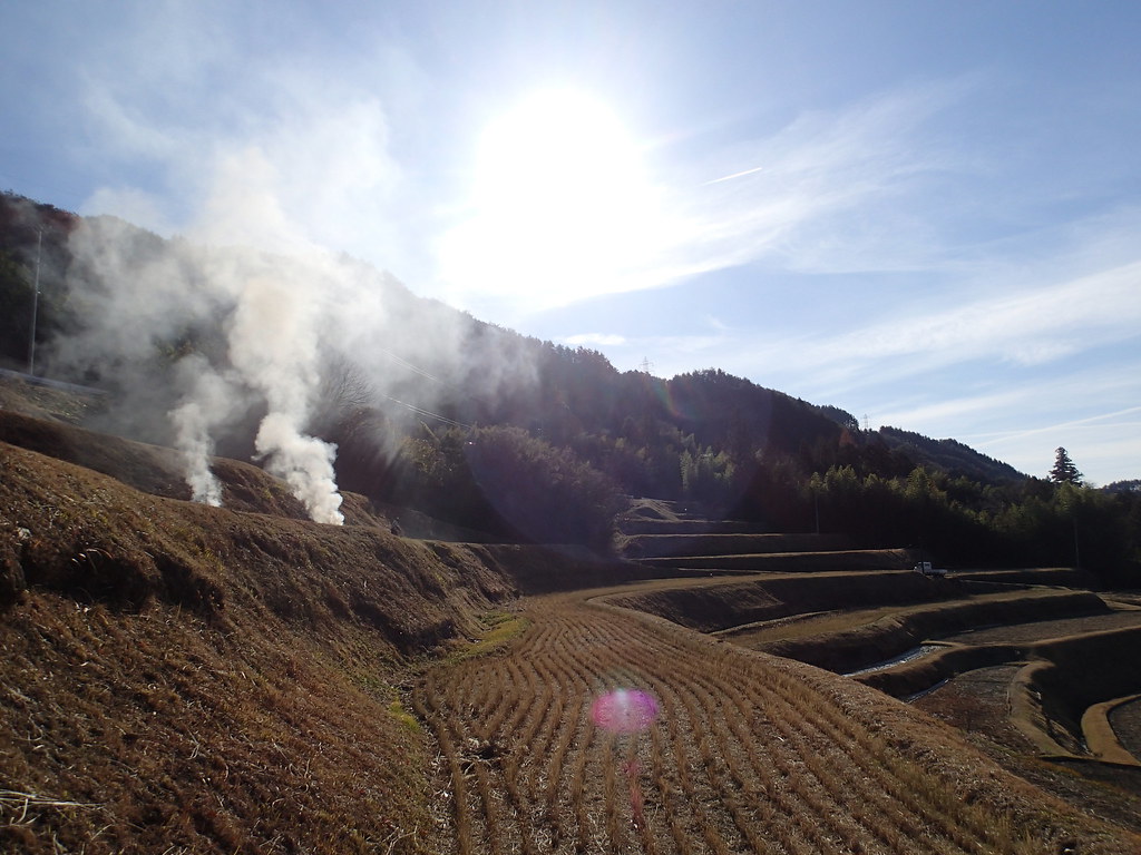
棚田その2
109_木曽駒ケ岳_2014.01.03_04
IMG_0020.JPG

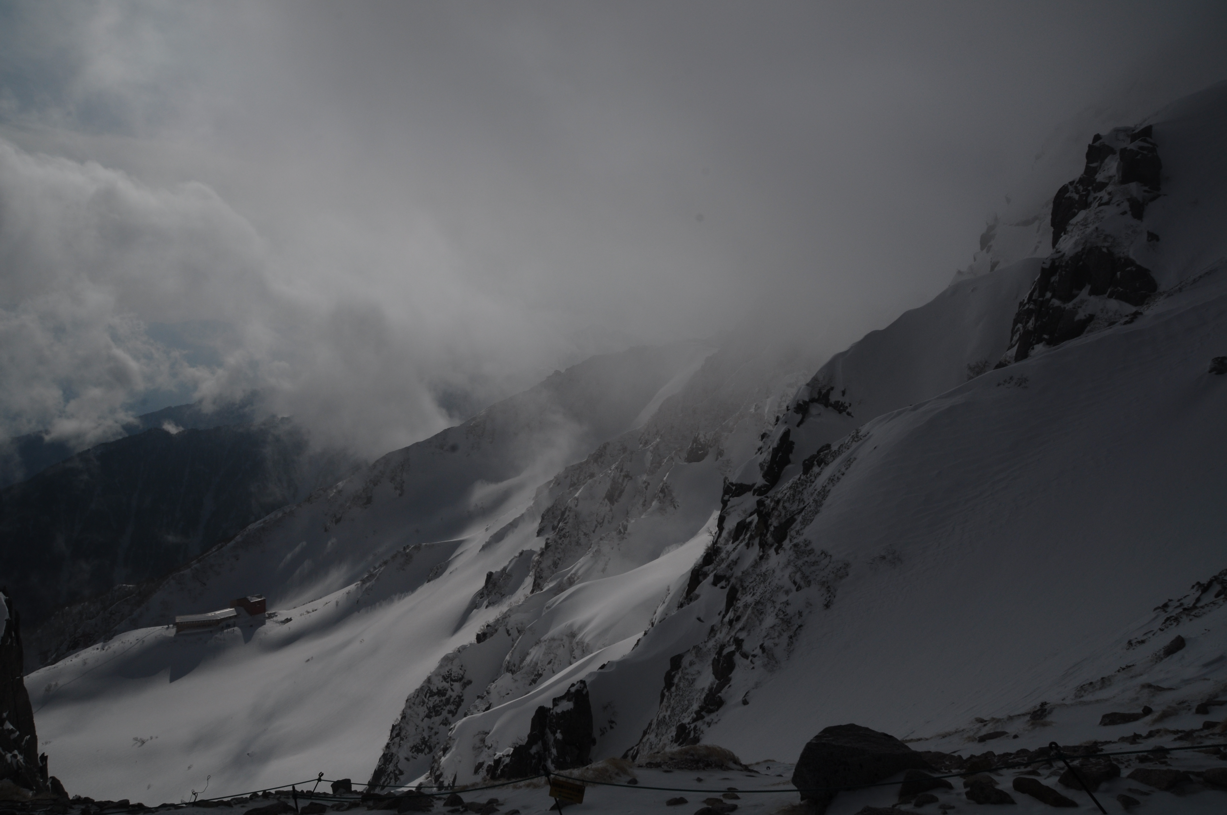
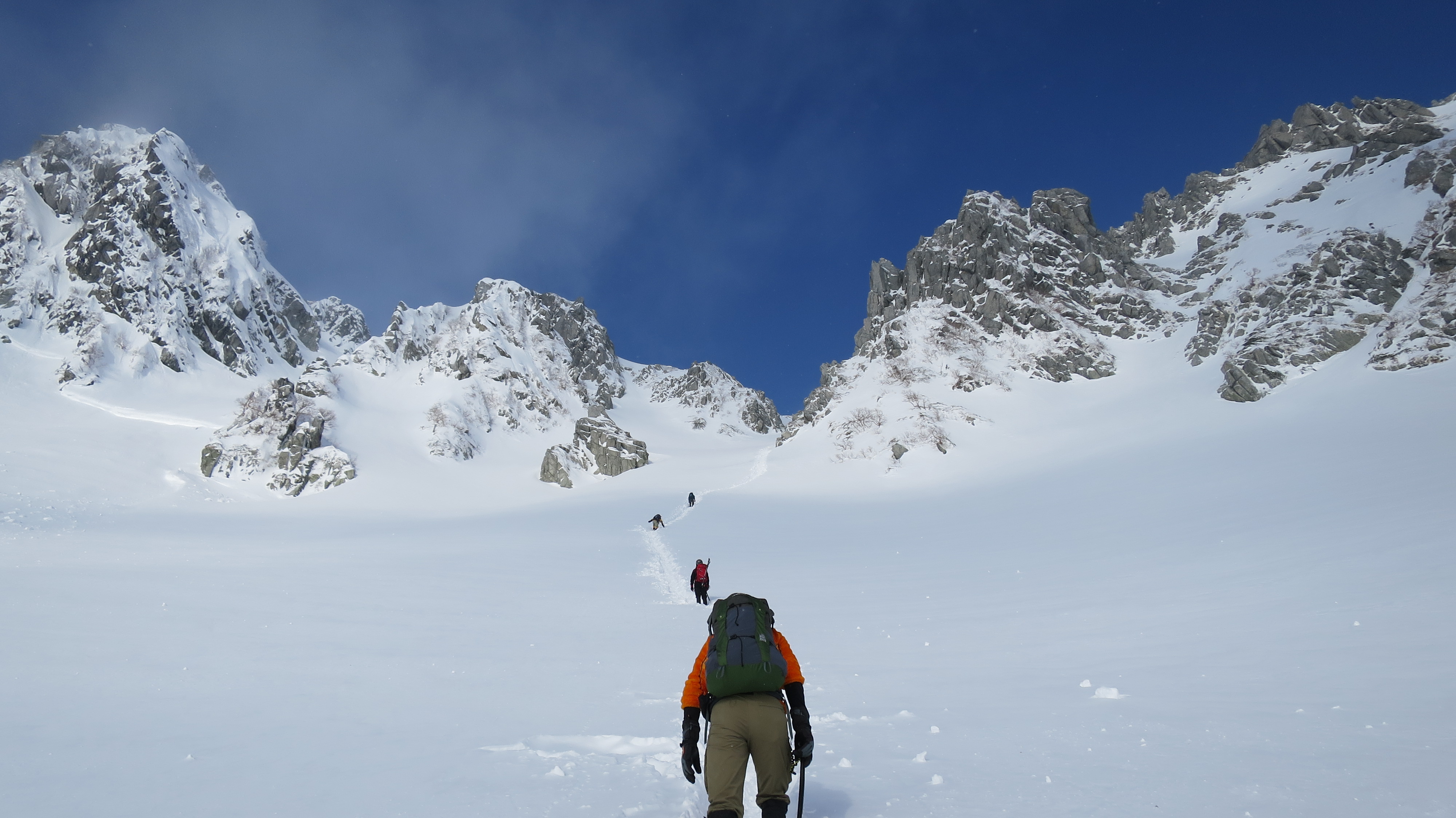
Like a sword to stick into the sky
98_木曽駒ケ岳_2014.01.03_04
97_木曽駒ケ岳_2014.01.03_04
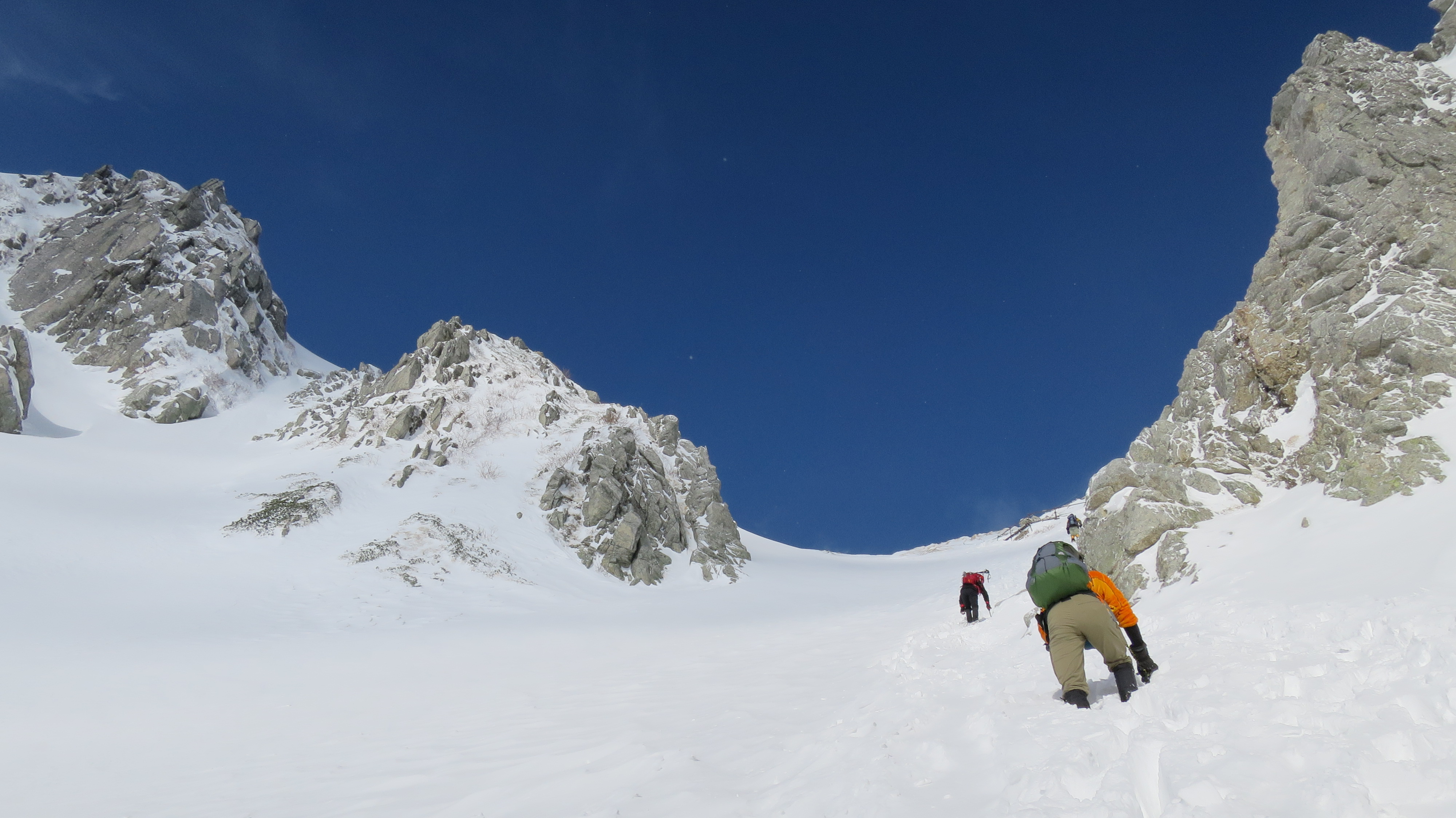
13_木曽駒ケ岳_2014.01.03_04

小渋ダム
94_木曽駒ケ岳_2014.01.03_04
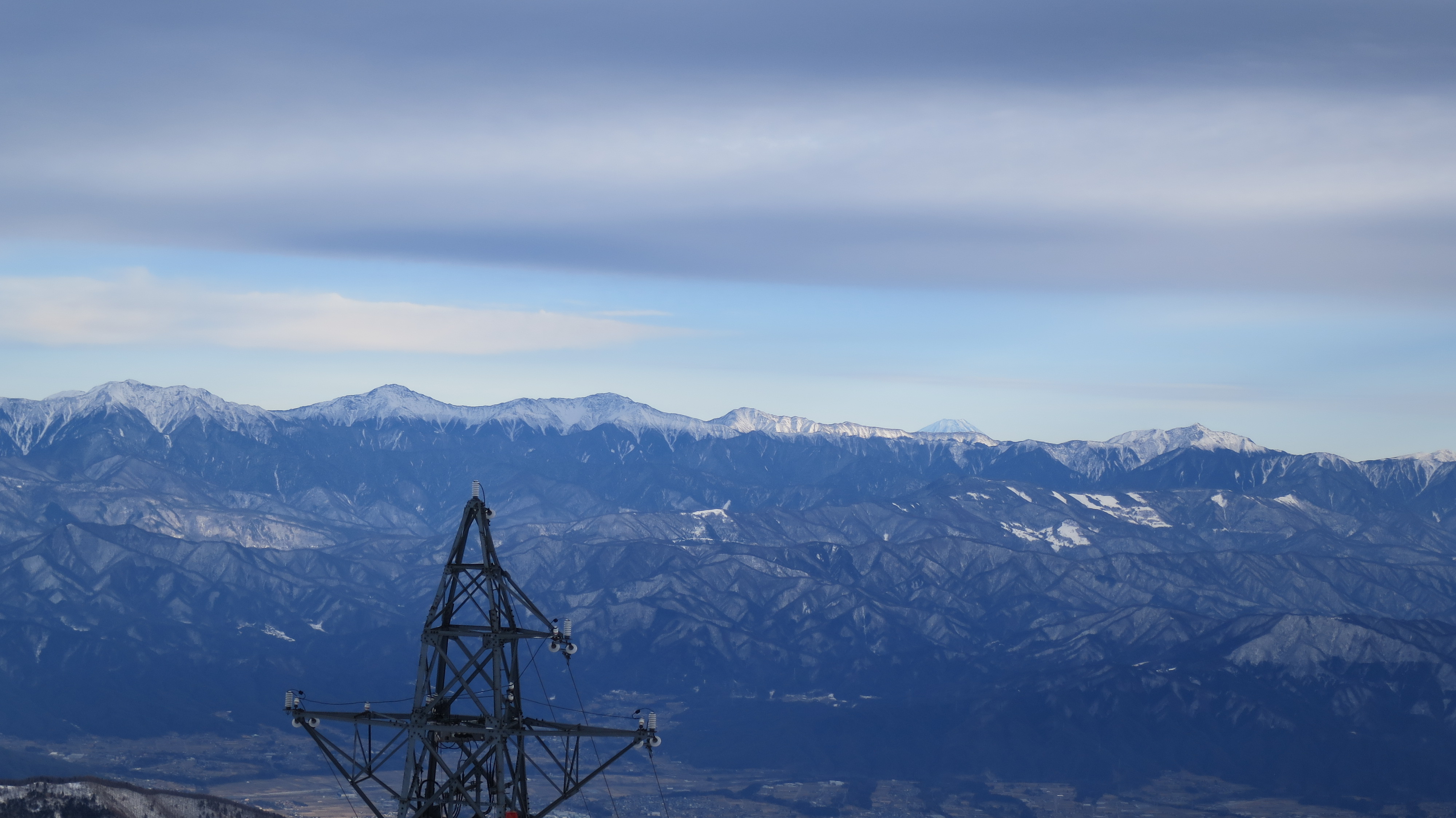
144_木曽駒ケ岳_2014.01.03_04
58_木曽駒ケ岳_2014.01.03_04
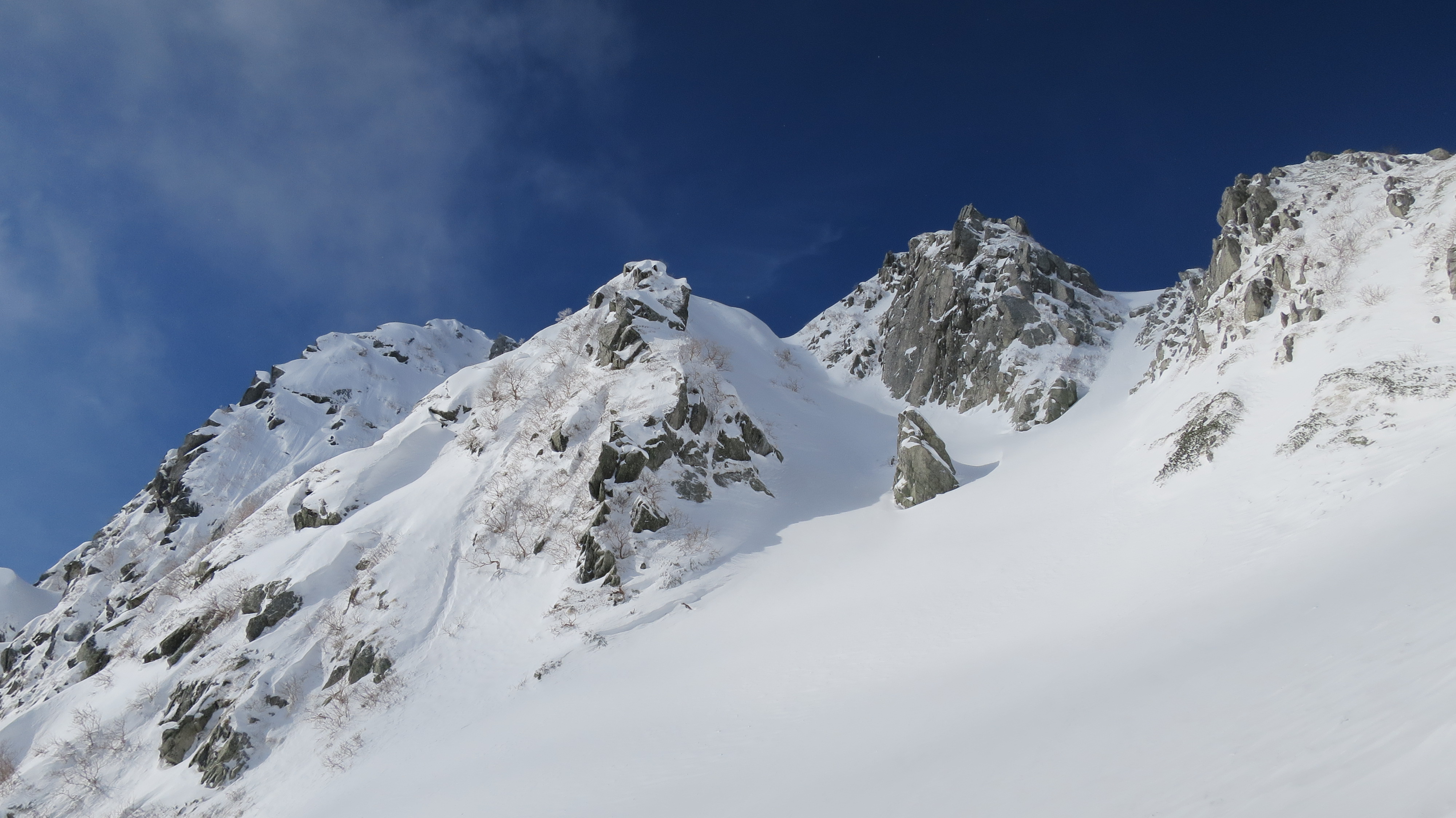
14_木曽駒ケ岳_2014.01.03_04
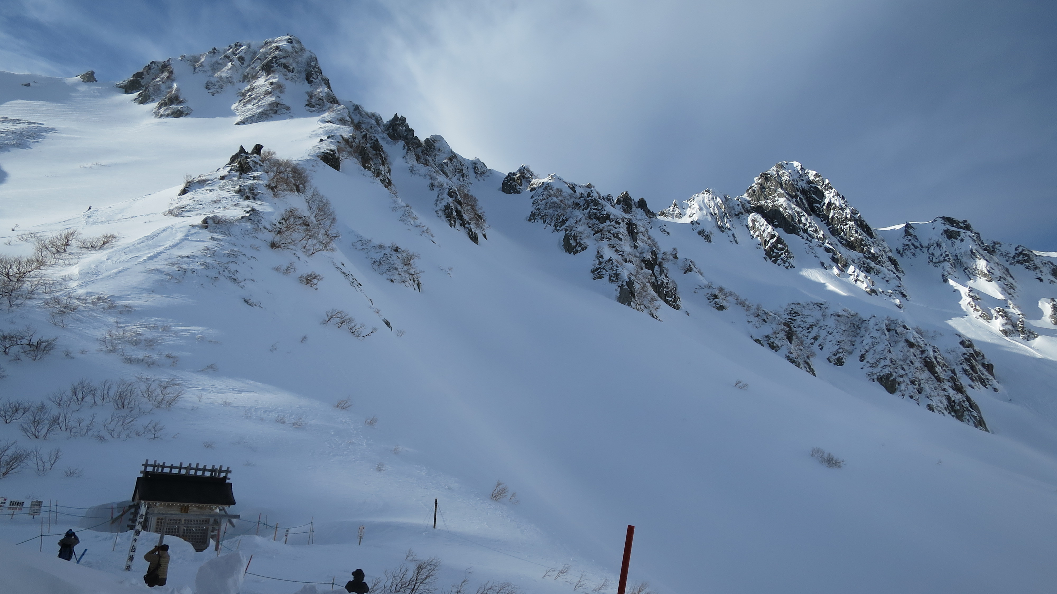
29_木曽駒ケ岳_2014.01.03_04
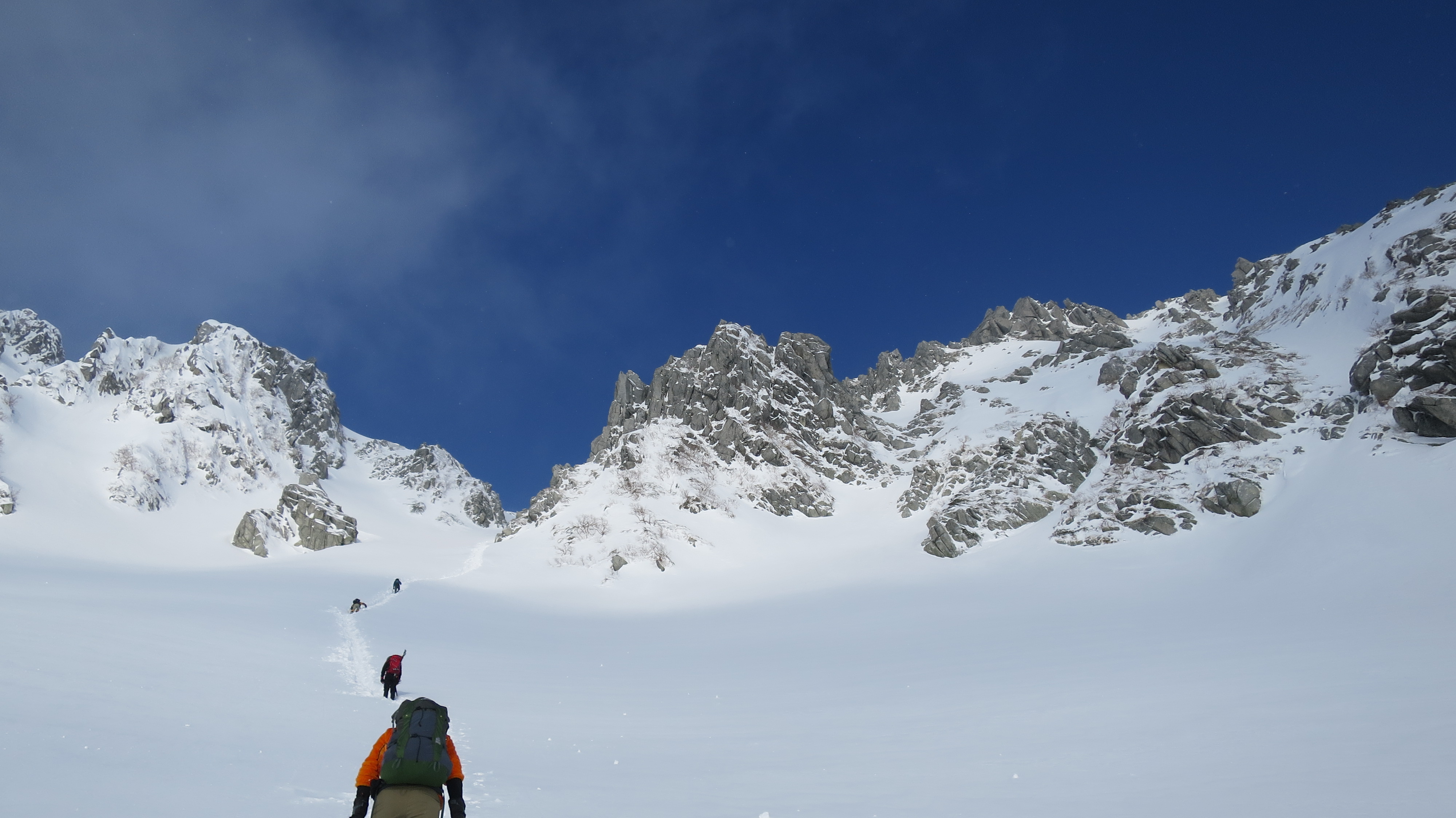
21_木曽駒ケ岳_2014.01.03_04
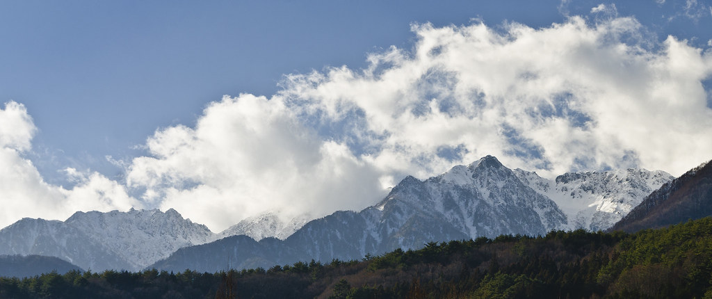
Winter blue sky
17_木曽駒ケ岳_2014.01.03_04
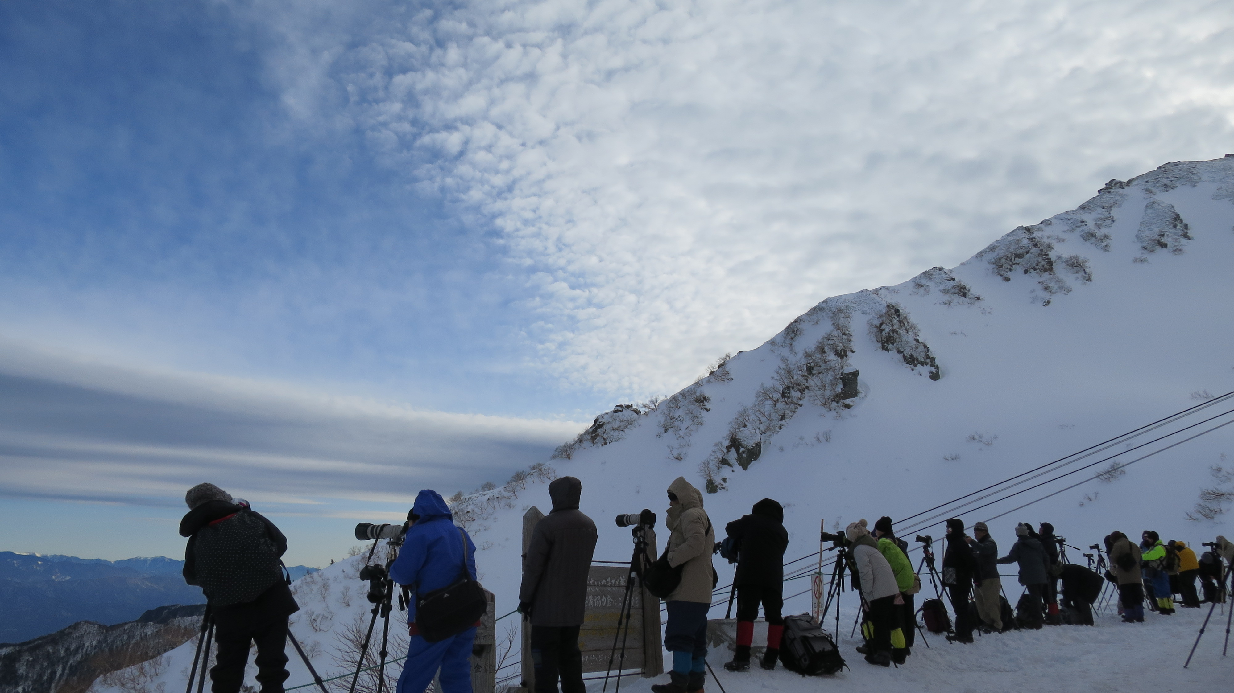
91_木曽駒ケ岳_2014.01.03_04
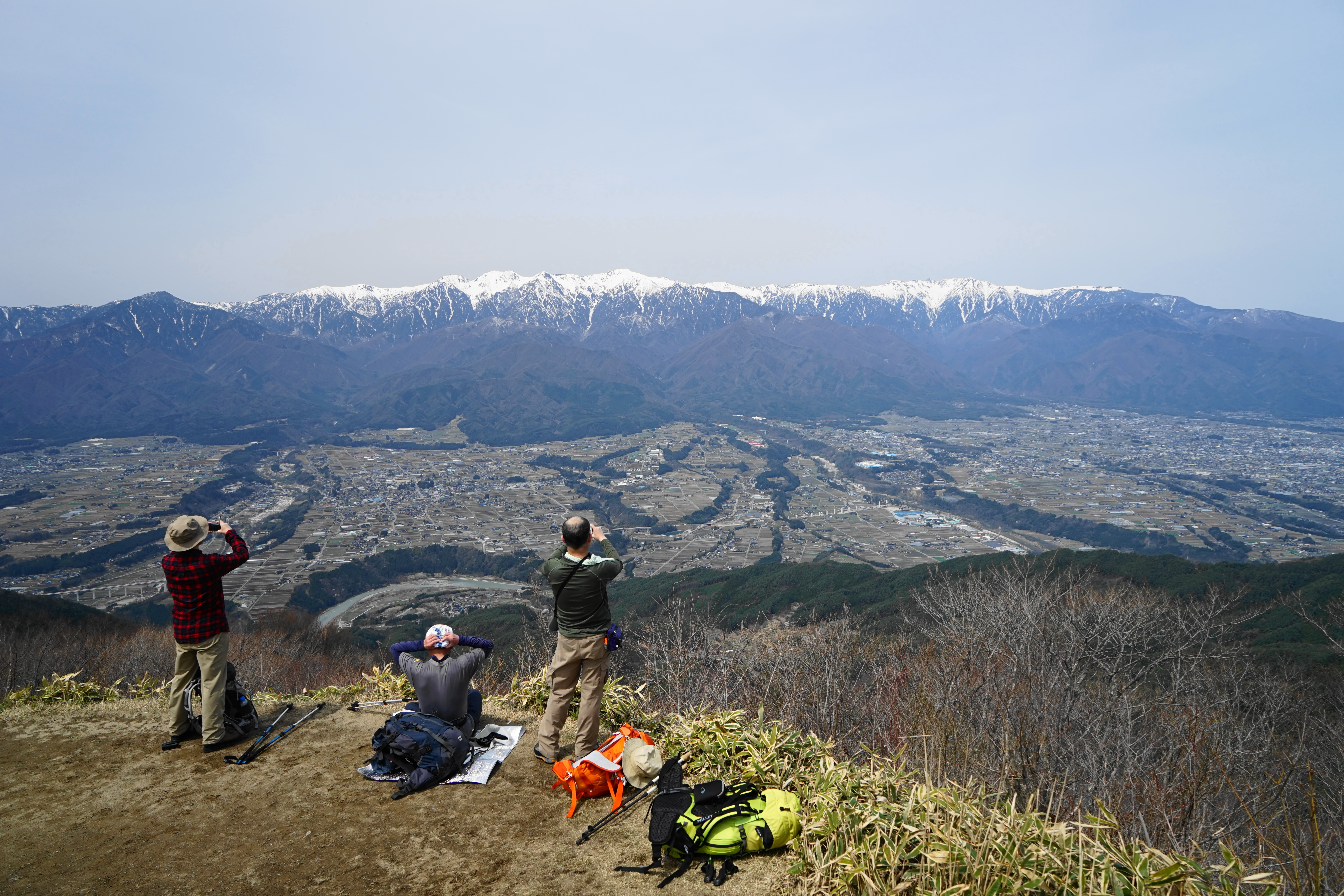
陣馬形山
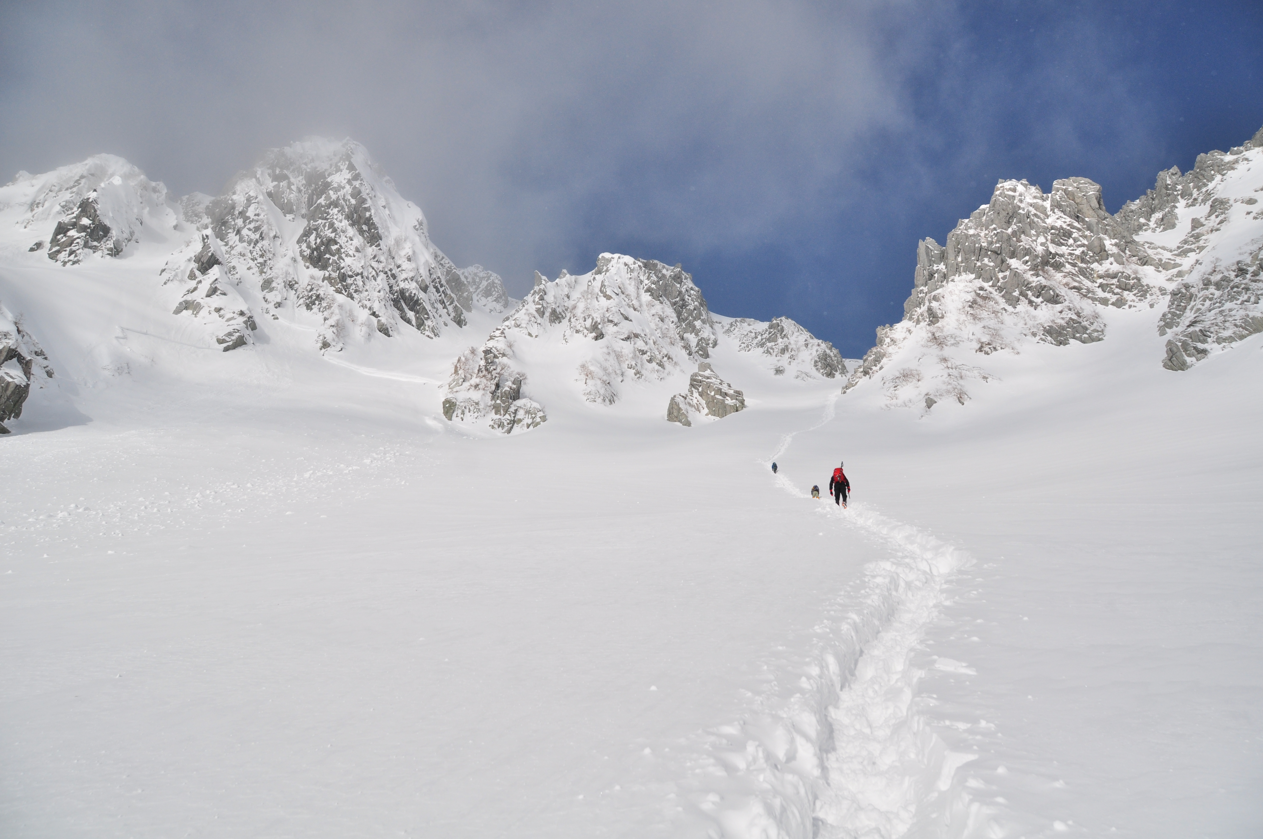
93_木曽駒ケ岳_2014.01.03_04
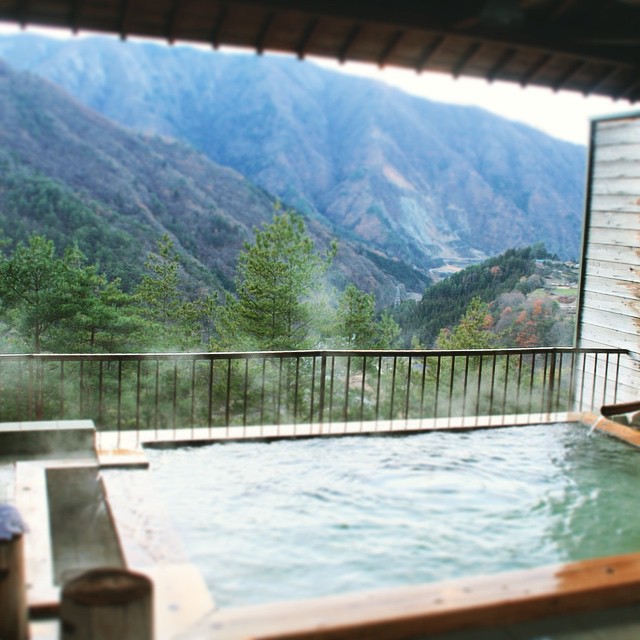
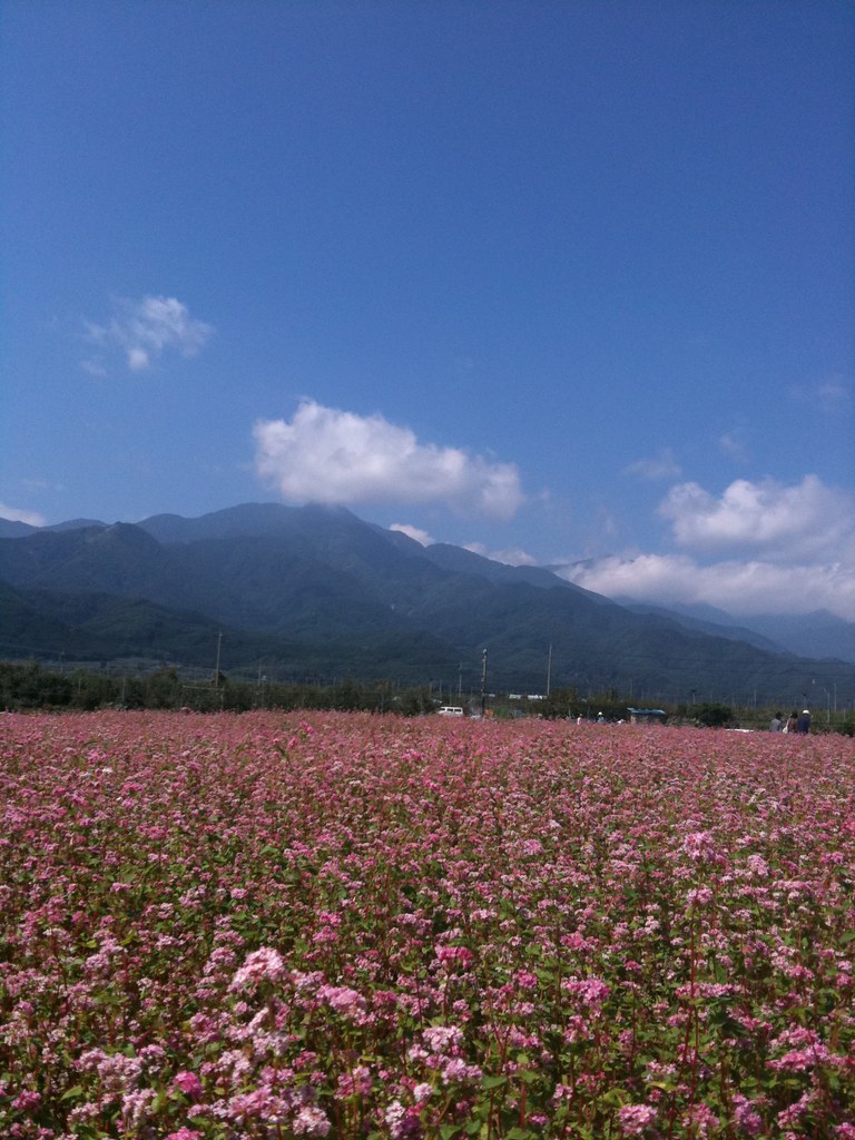
Onsen, Ooshika-village #landscape #onsen #大鹿村
DSCF8205.JPG
Topographic Map of Matsukawa, Shimoina District, Nagano Prefecture, Japan
Find elevation by address:

Places in Matsukawa, Shimoina District, Nagano Prefecture, Japan:
Places near Matsukawa, Shimoina District, Nagano Prefecture, Japan:
-4 Motoōjima, Matsukawa-machi, Shimoina-gun, Nagano-ken -, Japan
Toyooka
Kumashiro
Nakagawa
Kumashiro, Toyooka-mura, Shimoina-gun, Nagano-ken -, Japan
Ōkusa, Nakagawa-mura, Kamiina-gun, Nagano-ken -, Japan
Hongō, Iijima-machi, Kamiina-gun, Nagano-ken -, Japan
Kumashiro, 5480
- Nanakubo, Iijima-machi, Kamiina-gun, Nagano-ken -, Japan
Kumashiro, Toyooka-mura, Shimoina-gun, Nagano-ken -, Japan
Iijima
2 Chome-678 Ōtemachi
長野県飯田合同庁舎
-82 Akaho, Komagane-shi, Nagano-ken -, Japan
Iida
Oshika
Akaho
Komagane
Nakazawa, Komagane-shi, Nagano-ken -, Japan
Kashio, Ōshika-mura, Shimoina-gun, Nagano-ken -, Japan
Recent Searches:
- Elevation of Spaceport America, Co Rd A, Truth or Consequences, NM, USA
- Elevation of Warwick, RI, USA
- Elevation of Fern Rd, Whitmore, CA, USA
- Elevation of 62 Abbey St, Marshfield, MA, USA
- Elevation of Fernwood, Bradenton, FL, USA
- Elevation of Felindre, Swansea SA5 7LU, UK
- Elevation of Leyte Industrial Development Estate, Isabel, Leyte, Philippines
- Elevation of W Granada St, Tampa, FL, USA
- Elevation of Pykes Down, Ivybridge PL21 0BY, UK
- Elevation of Jalan Senandin, Lutong, Miri, Sarawak, Malaysia