Elevation of Osceola, NY, USA
Location: United States > New York > Lewis County >
Longitude: -75.690624
Latitude: 43.5536457
Elevation: 495m / 1624feet
Barometric Pressure: 96KPa
Elevation Map:
Satellite Map:
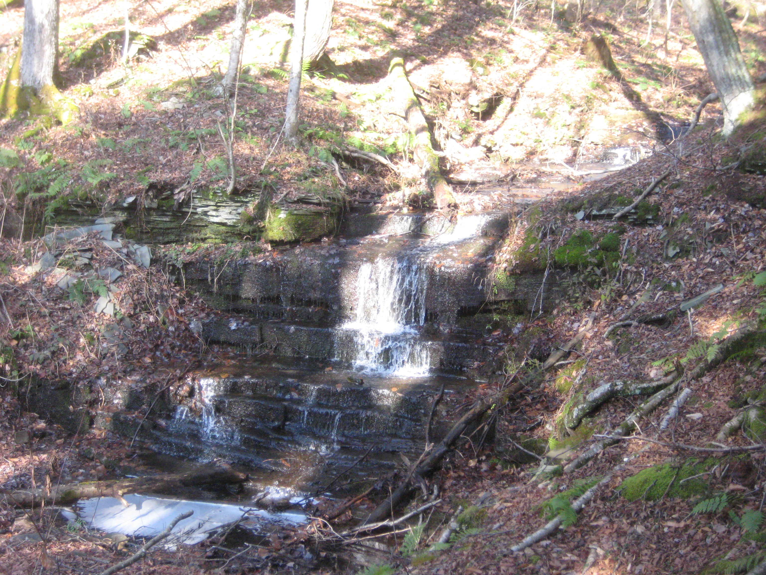
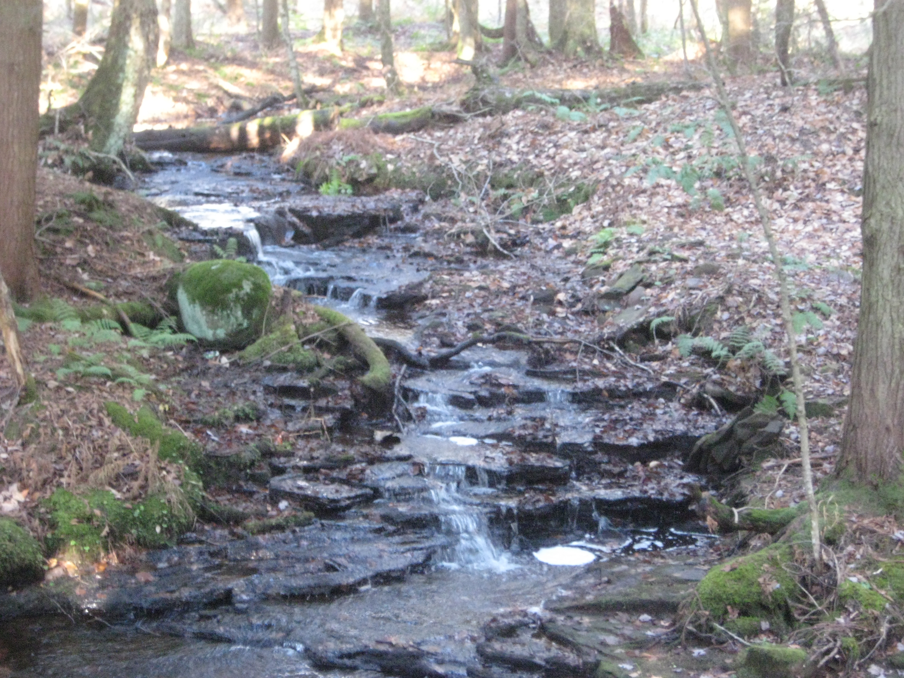
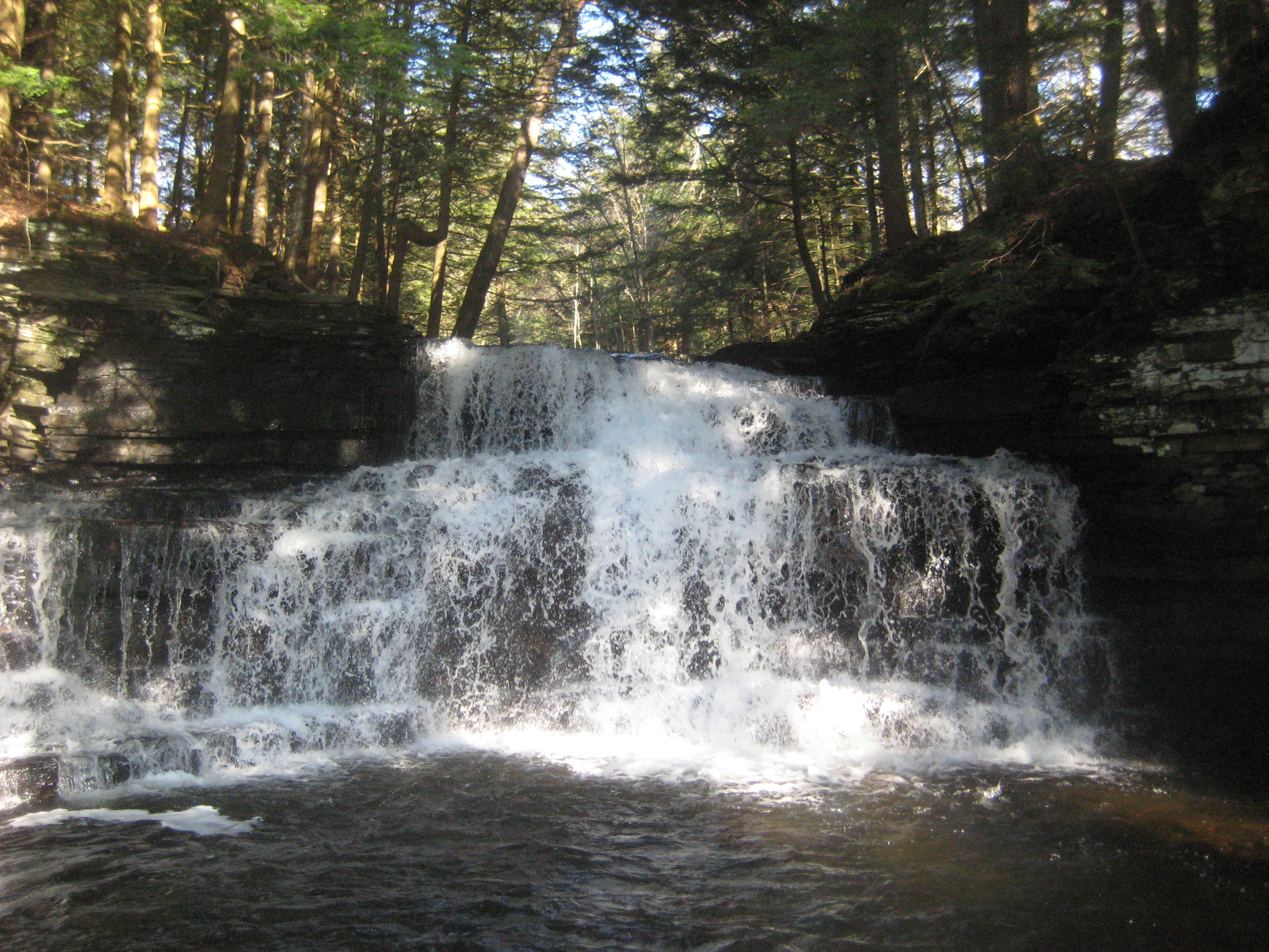
Related Photos:

Autumn beaver flow on Pickens Brook flickr

Salmon River Reservoir
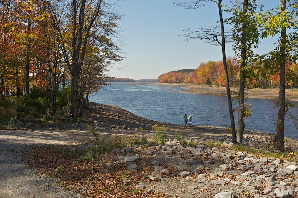
Salmon River Reservoir
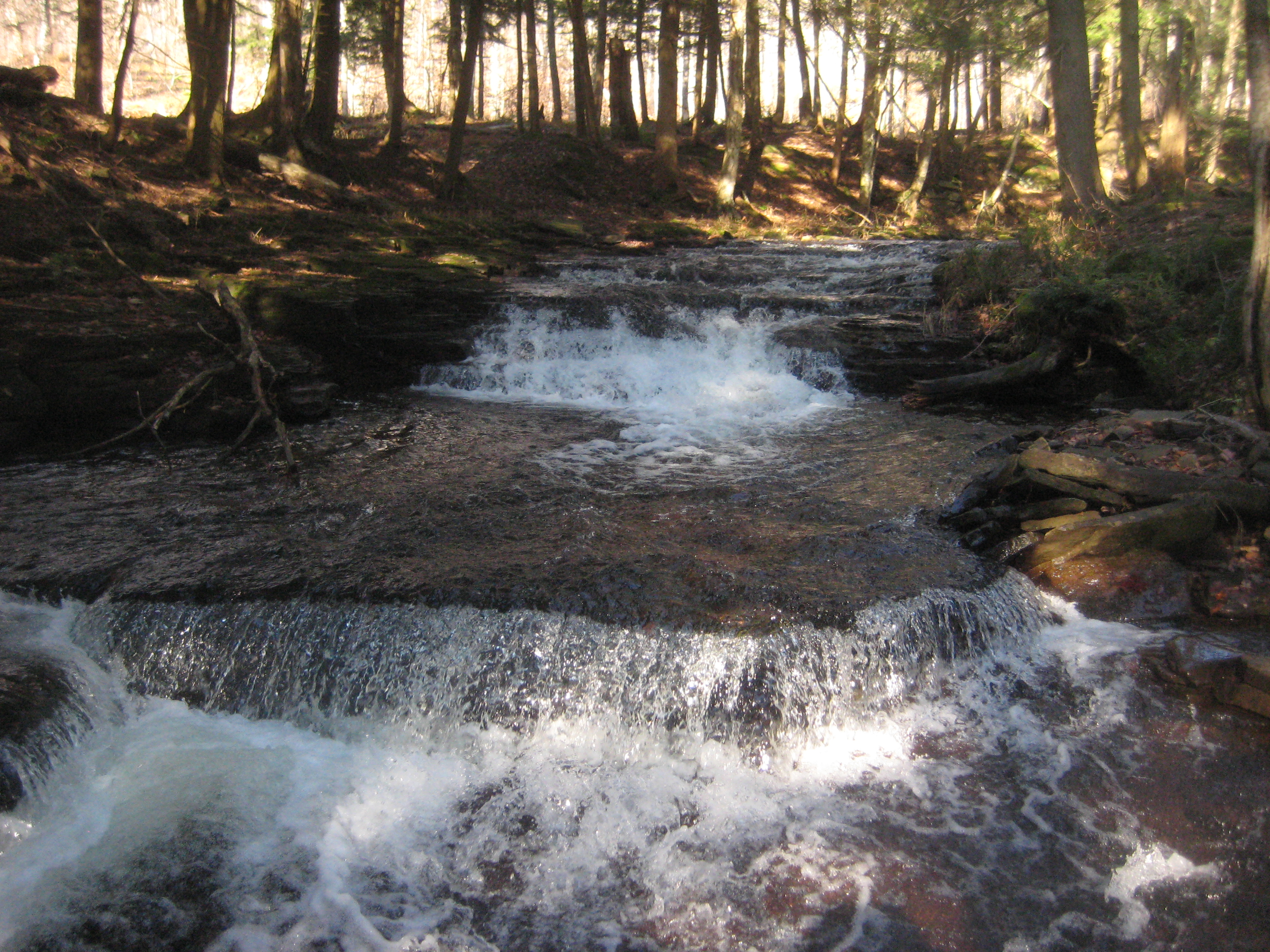
Pre Lower Falls
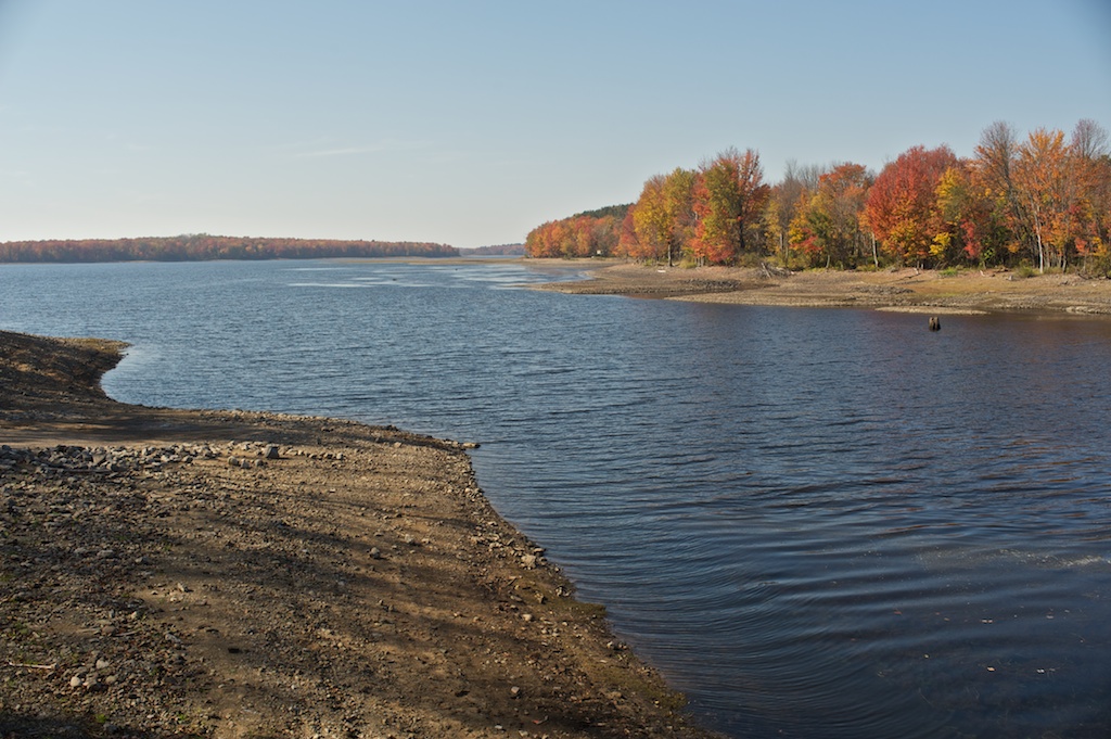
Salmon River Reservoir
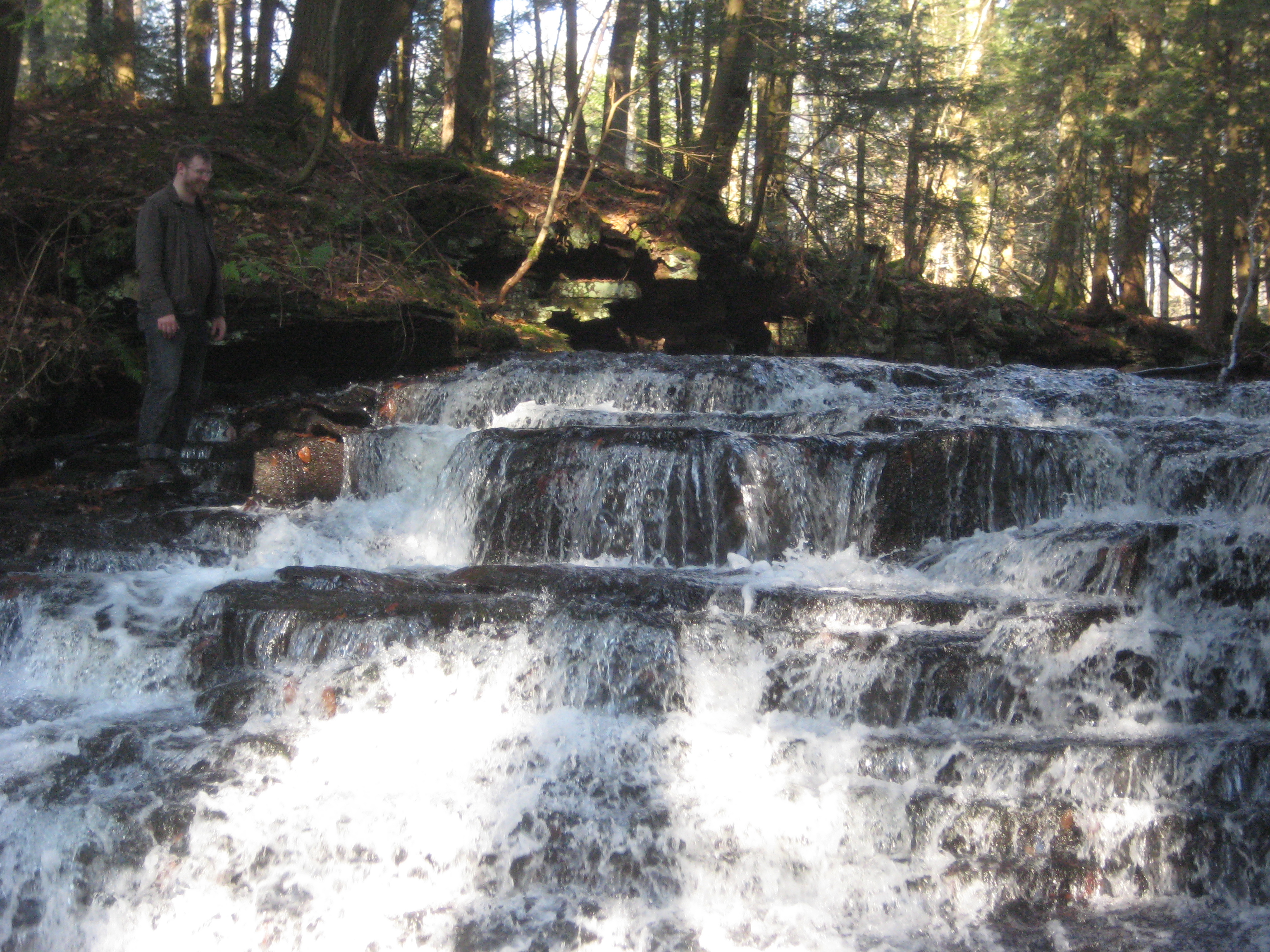
Nate @ Upper Falls
Little Falls
More Upper Falls

2014-07-11 20.36.45

2014-07-11 12.03.46
Lower Falls
Topographic Map of Osceola, NY, USA
Find elevation by address:

Places in Osceola, NY, USA:
Places near Osceola, NY, USA:
2879 N Osceola Rd
Prince Brook Road
Osceola
1312 Mary St
2542 Prince Brook Rd
1562 Driscoll Rd
111 County Rte 47
162 County Rte 47
188 County Rte 47
188 County Rte 47
120 County Rte 39
120 County Rte 39
211 Fox Rd
Mc Caw Road
235 Mc Caw Rd
Gallo Rd, Taberg, NY, USA
25 Beaver Creek Rd
686 County Rte 27
Florence
1 Yeardon Drive Spur
Recent Searches:
- Elevation of Beall Road, Beall Rd, Florida, USA
- Elevation of Leguwa, Nepal
- Elevation of County Rd, Enterprise, AL, USA
- Elevation of Kolchuginsky District, Vladimir Oblast, Russia
- Elevation of Shustino, Vladimir Oblast, Russia
- Elevation of Lampiasi St, Sarasota, FL, USA
- Elevation of Elwyn Dr, Roanoke Rapids, NC, USA
- Elevation of Congressional Dr, Stevensville, MD, USA
- Elevation of Bellview Rd, McLean, VA, USA
- Elevation of Stage Island Rd, Chatham, MA, USA