Elevation of Mary St, Camden, NY, USA
Location: United States > New York > Lewis County > Osceola >
Longitude: -75.722832
Latitude: 43.500015
Elevation: 314m / 1030feet
Barometric Pressure: 98KPa
Elevation Map:
Satellite Map:
Related Photos:

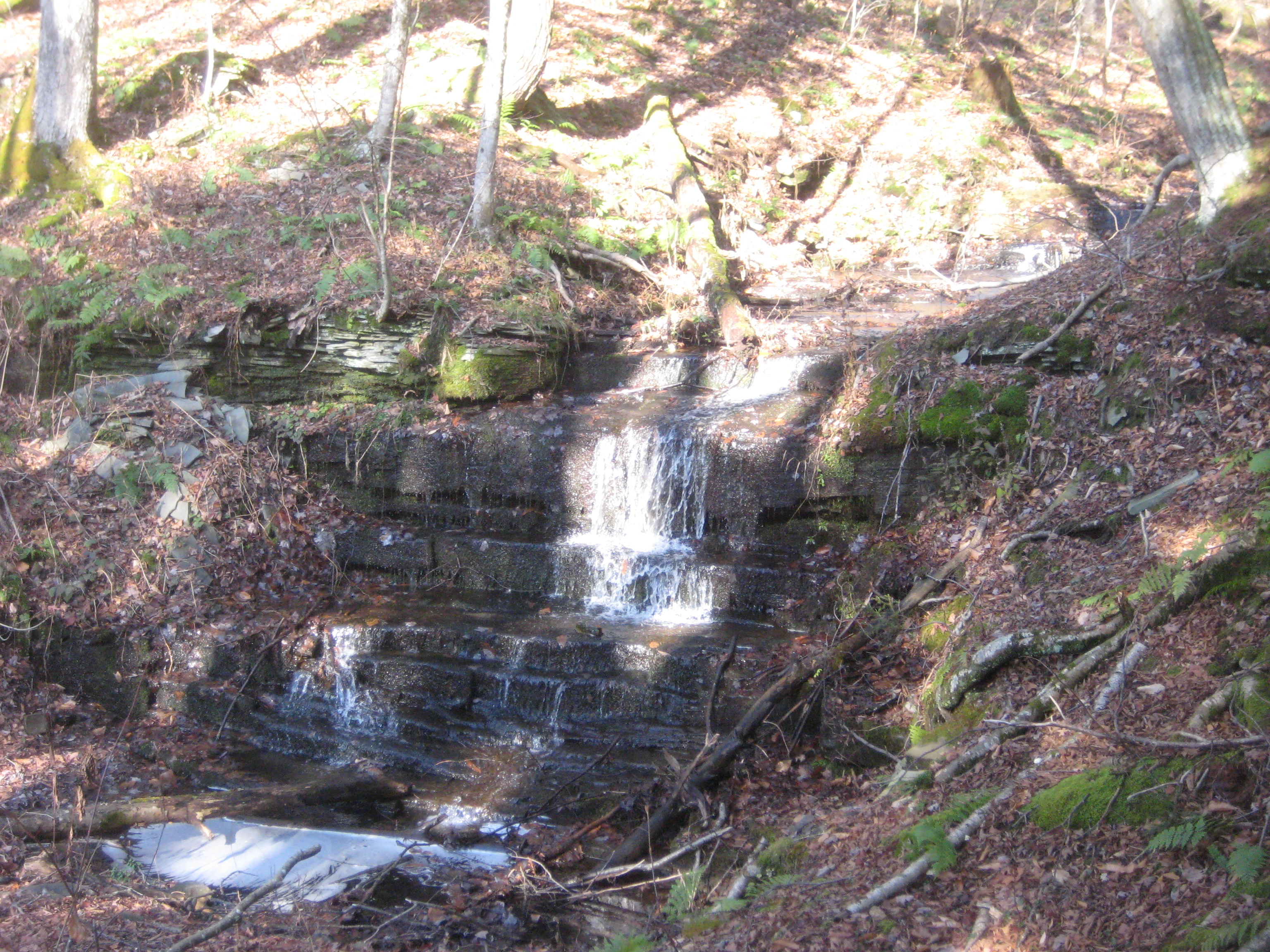
New York Central RR (R,W, & O) Bridge Abutments

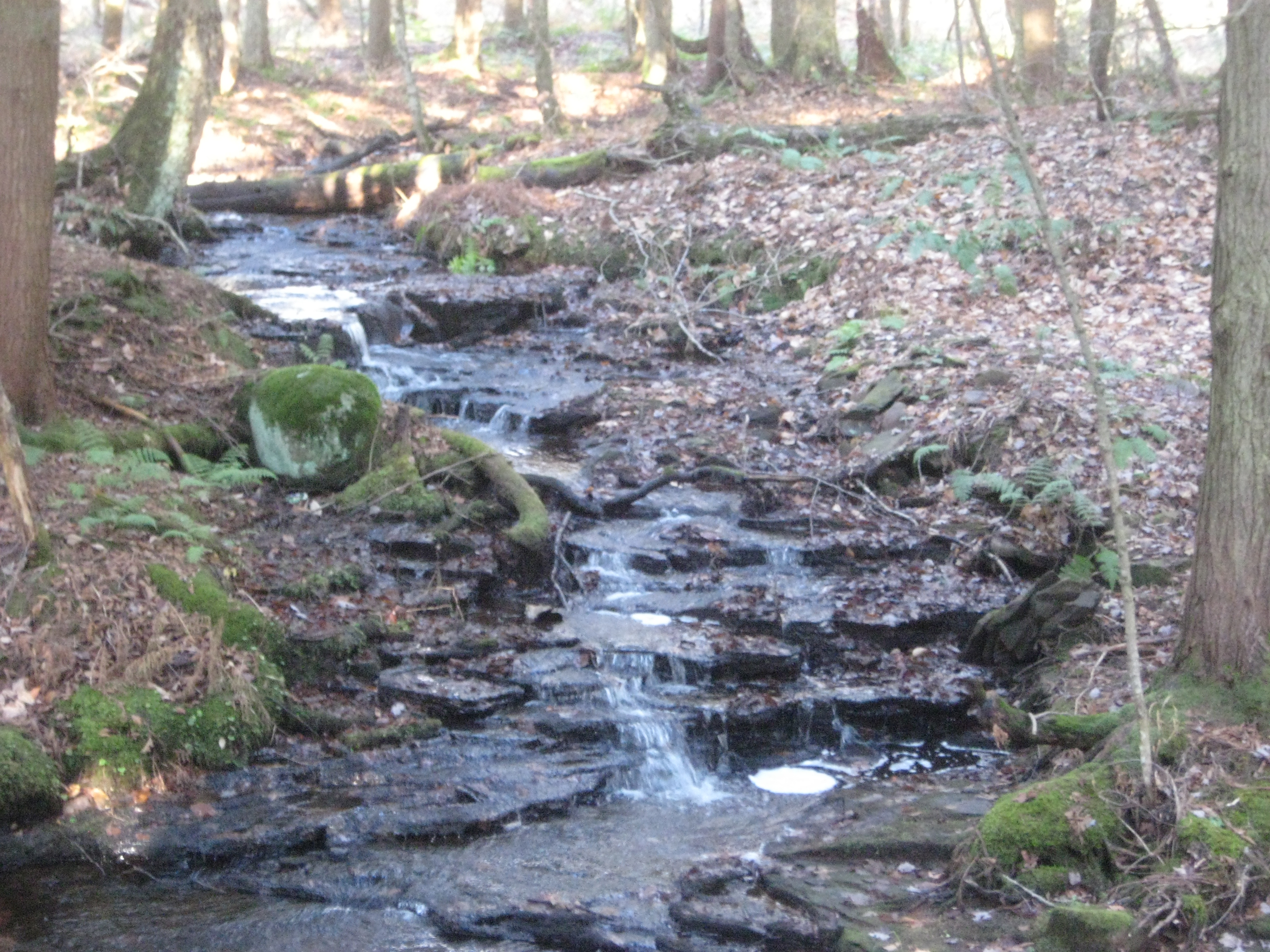
Autumn beaver flow on Pickens Brook flickr

Salmon River Reservoir
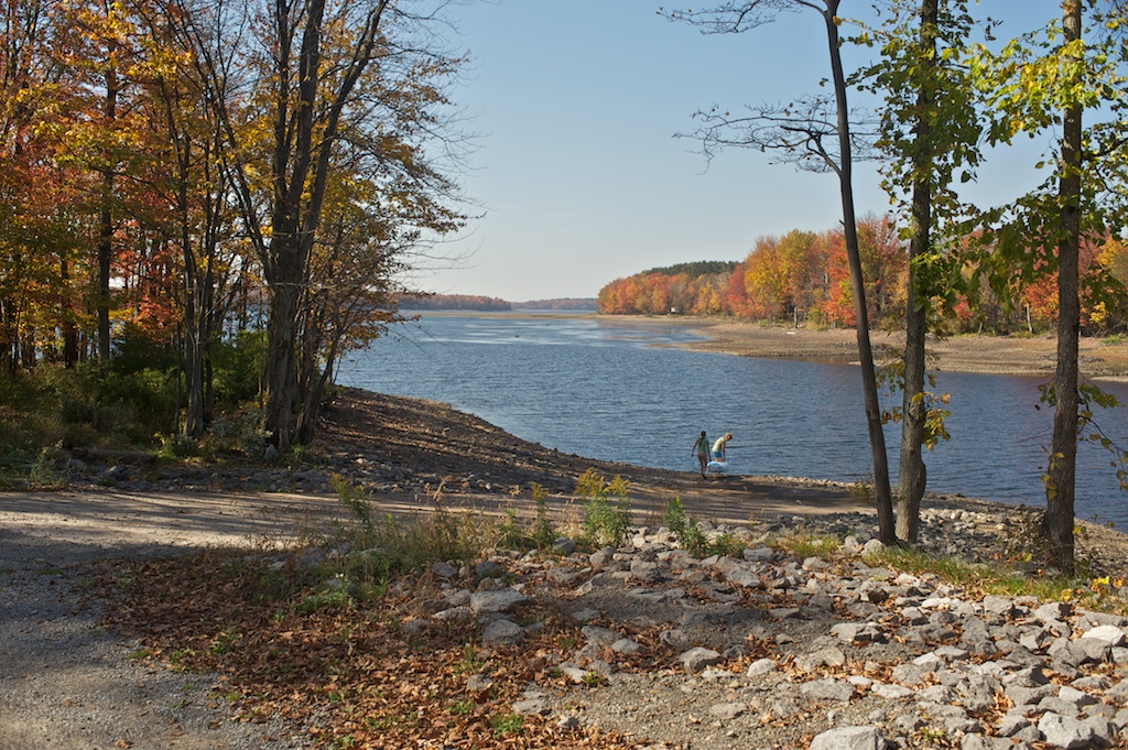
Salmon River Reservoir
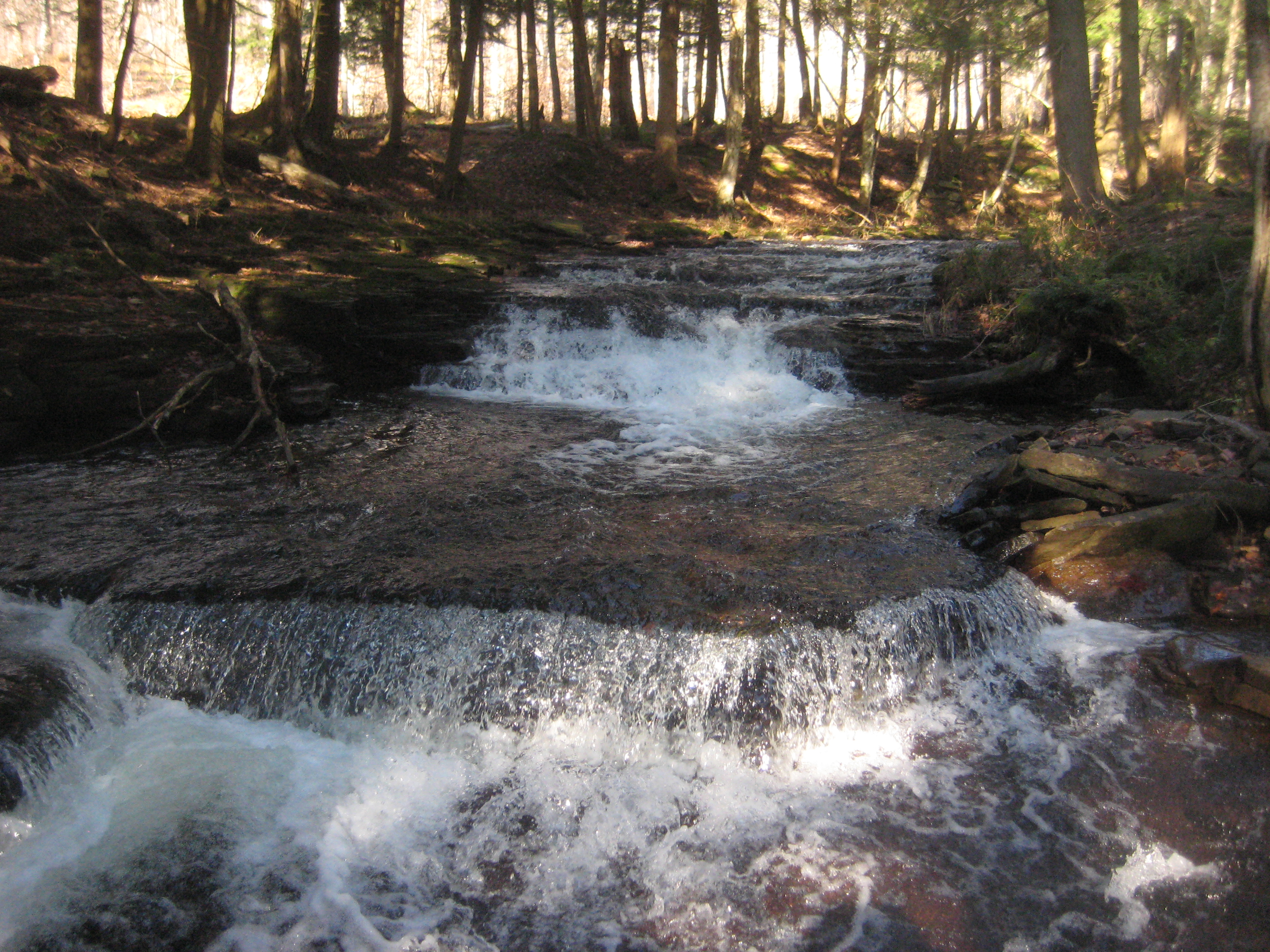
Pre Lower Falls
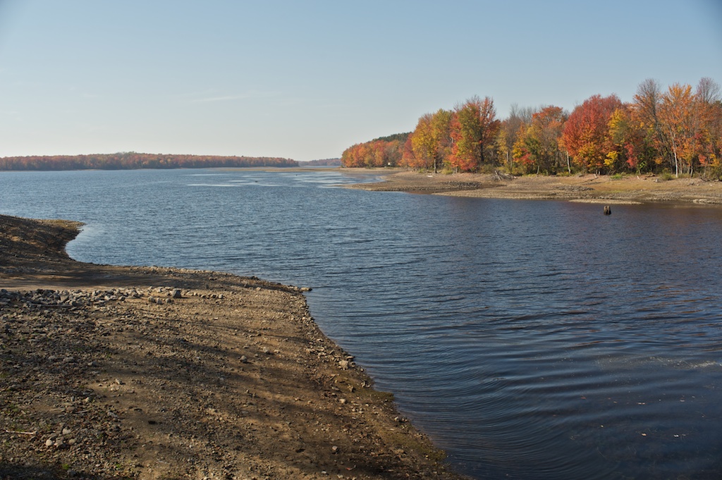
Salmon River Reservoir
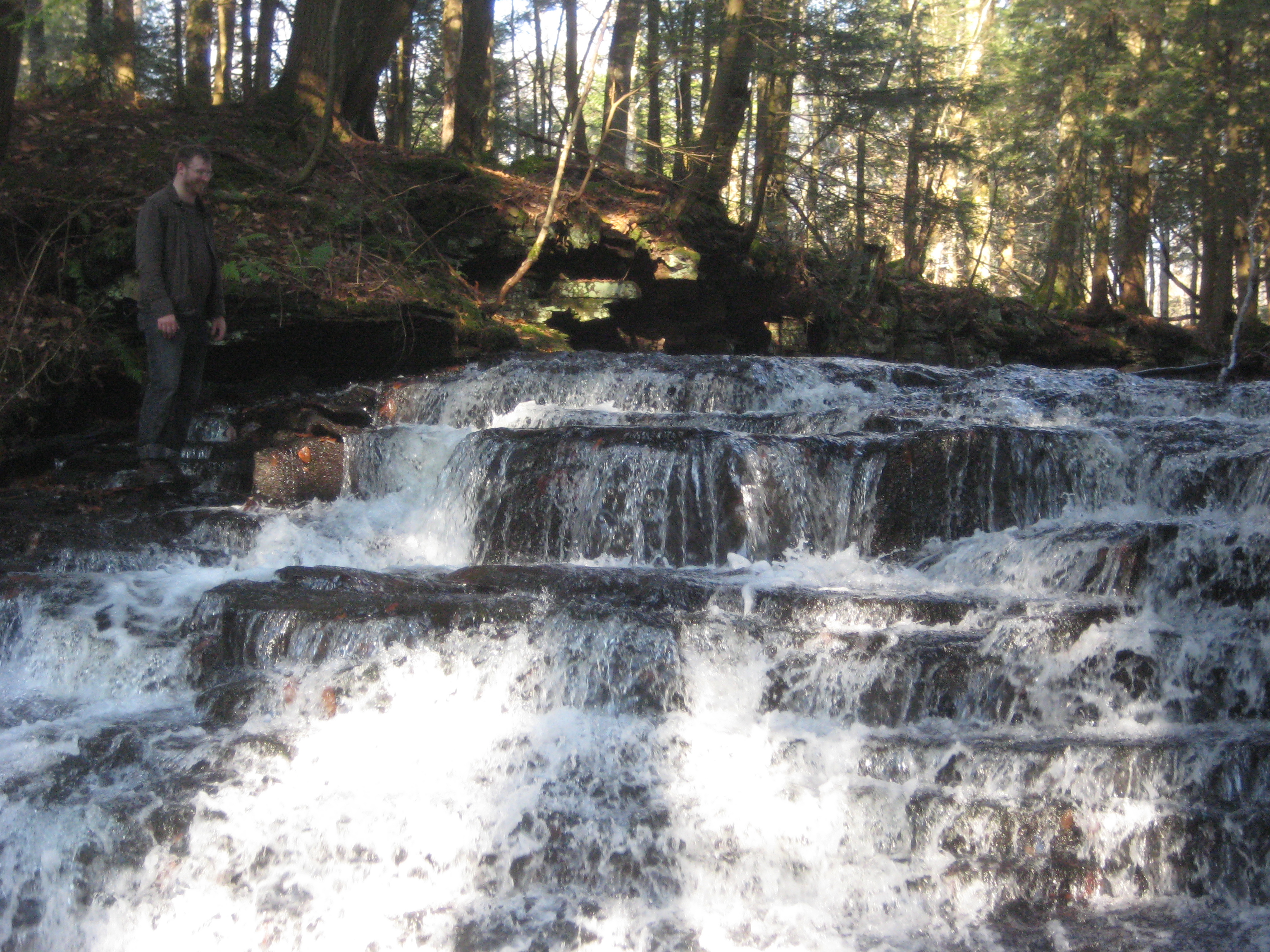
Nate @ Upper Falls
Little Falls

On Hall Island
More Upper Falls

Mad River

2014-07-11 20.36.45

2014-07-11 12.03.46

Lake from Causeway
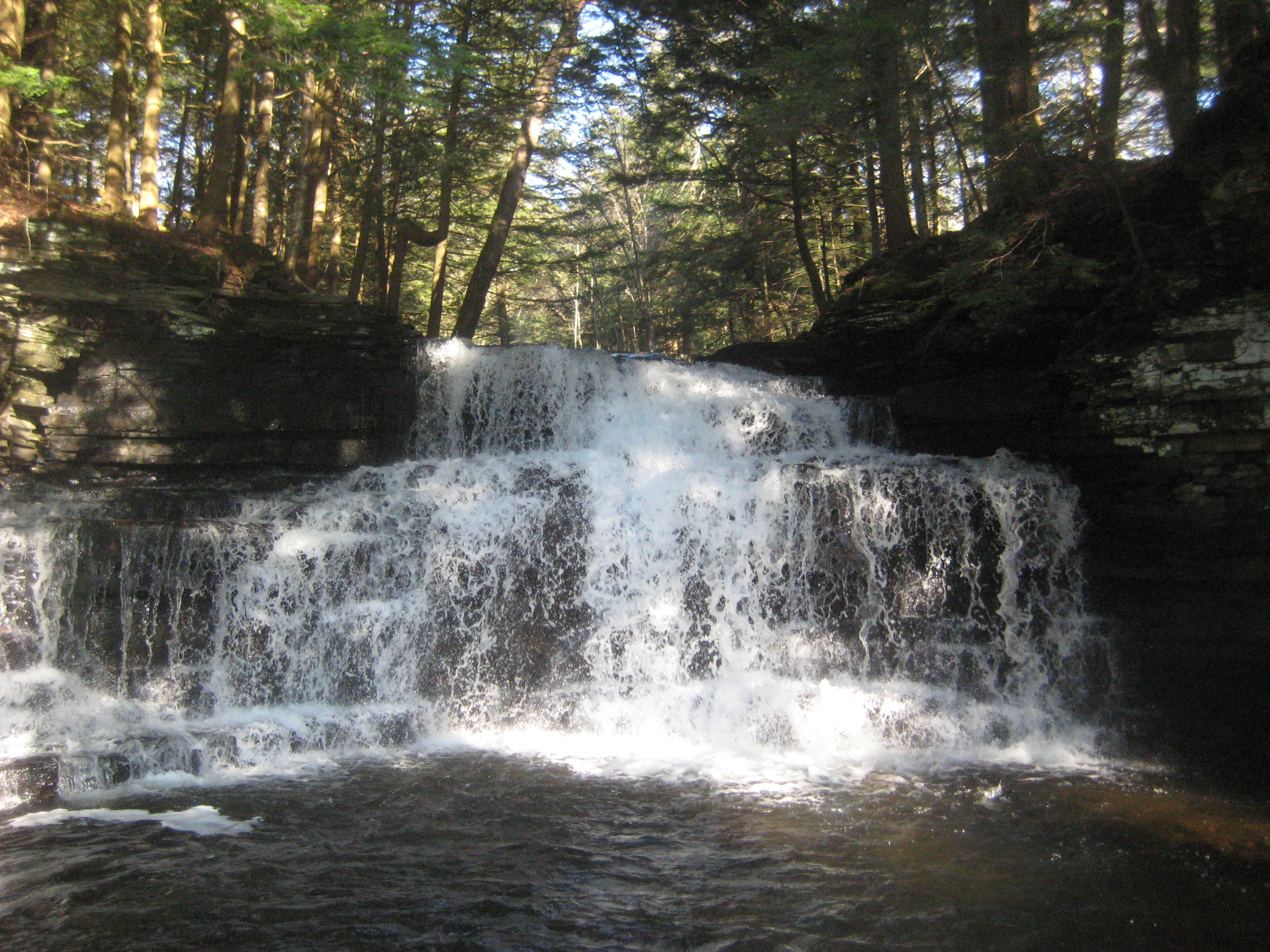
Lower Falls
Topographic Map of Mary St, Camden, NY, USA
Find elevation by address:

Places near Mary St, Camden, NY, USA:
Osceola
2542 Prince Brook Rd
1562 Driscoll Rd
120 County Rte 39
120 County Rte 39
Prince Brook Road
2879 N Osceola Rd
211 Fox Rd
Osceola
Florence
111 County Rte 47
Mc Caw Road
162 County Rte 47
188 County Rte 47
188 County Rte 47
235 Mc Caw Rd
11585 Thompson Corners-florence Rd
686 County Rte 27
1 Yeardon Drive Spur
Redfield
Recent Searches:
- Elevation of Congressional Dr, Stevensville, MD, USA
- Elevation of Bellview Rd, McLean, VA, USA
- Elevation of Stage Island Rd, Chatham, MA, USA
- Elevation of Shibuya Scramble Crossing, 21 Udagawacho, Shibuya City, Tokyo -, Japan
- Elevation of Jadagoniai, Kaunas District Municipality, Lithuania
- Elevation of Pagonija rock, Kranto 7-oji g. 8"N, Kaunas, Lithuania
- Elevation of Co Rd 87, Jamestown, CO, USA
- Elevation of Tenjo, Cundinamarca, Colombia
- Elevation of Côte-des-Neiges, Montreal, QC H4A 3J6, Canada
- Elevation of Bobcat Dr, Helena, MT, USA