Elevation of Oregon Rd, Hornbrook, CA, USA
Location: United States > California > Siskiyou County > Hornbrook >
Longitude: -122.56112
Latitude: 41.9118566
Elevation: 667m / 2188feet
Barometric Pressure: 94KPa
Elevation Map:
Satellite Map:
Related Photos:
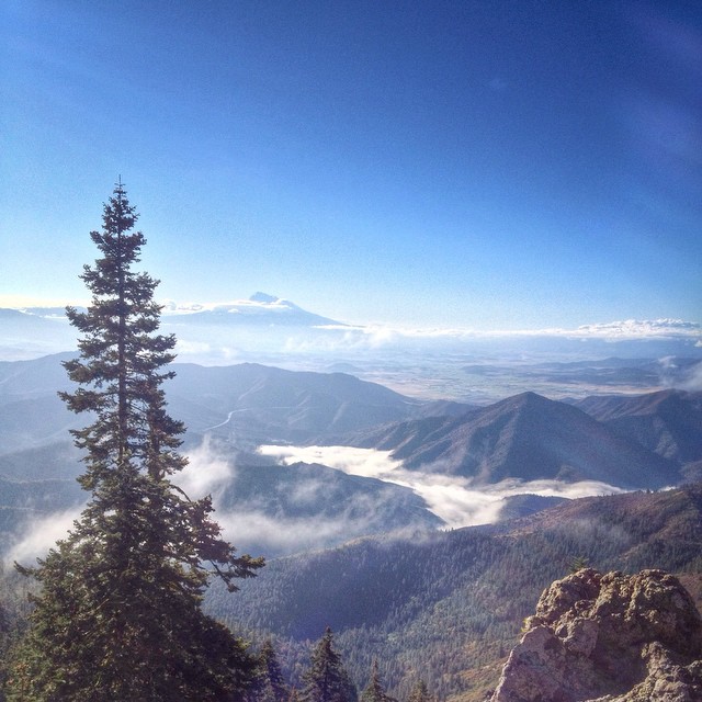
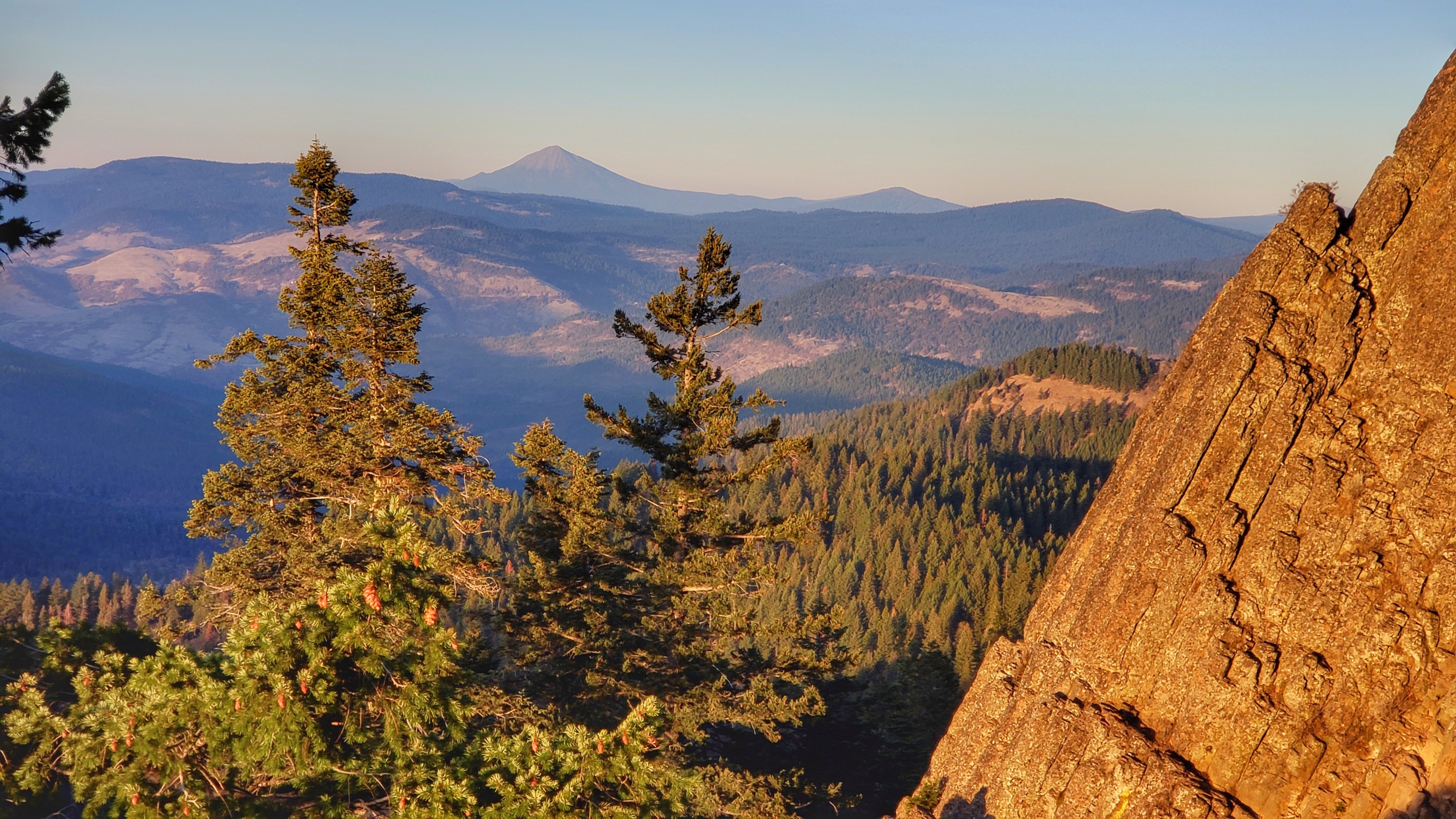
Mt Shasta Lookout
View Lot For Sale

Mount McLoughlin
Beautiful view from Cottonwood Mtn this morning. It's fun to see the tops of clouds before they roll over the summit. ⬆️
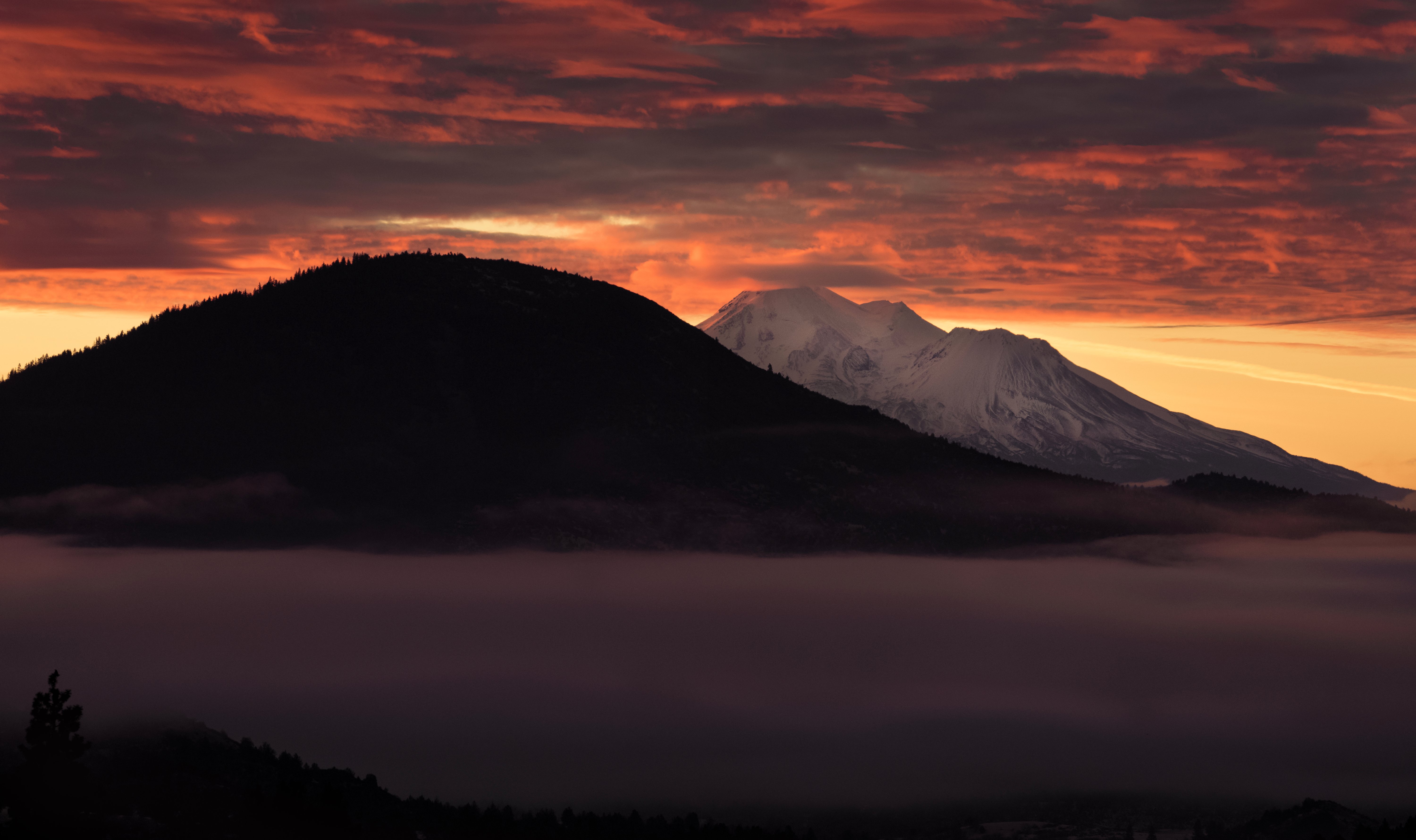
One last look at Mt. Shasta
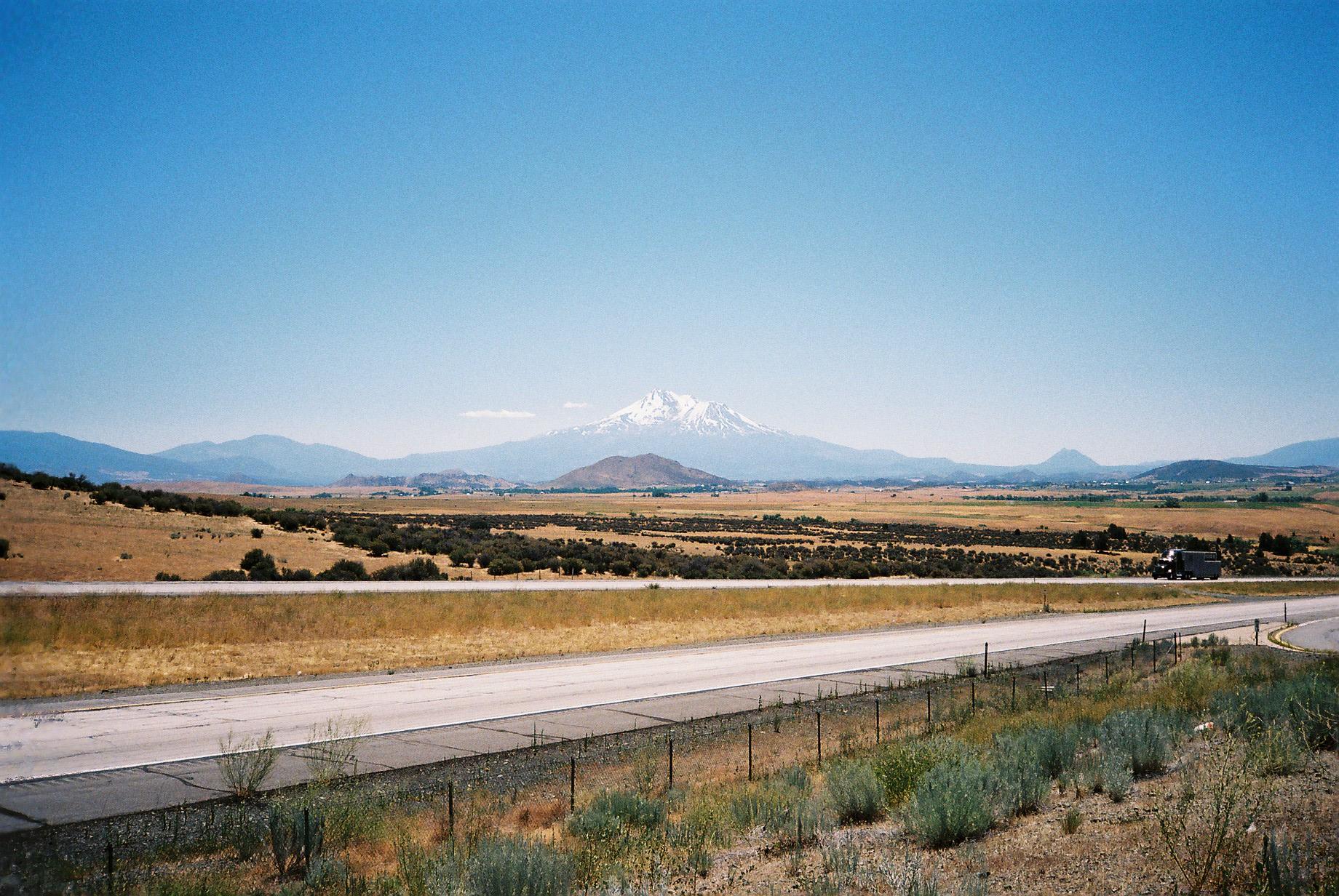
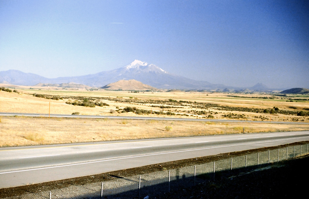
Shasta from I5
Pilot Rock Shasta View
a1980-09-13
Drove to the great vista point off I-5 to shoot Mt. Shasta at sunrise. So far this is my view.
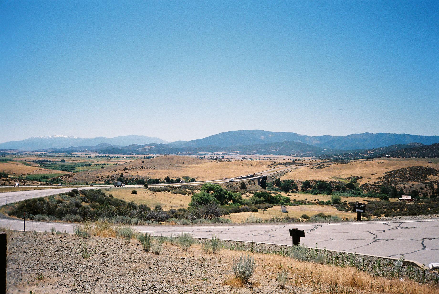
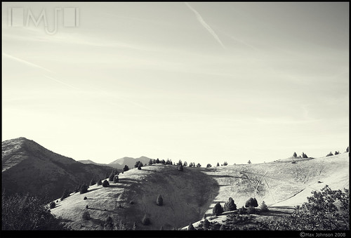
A view of some of the surrounding area
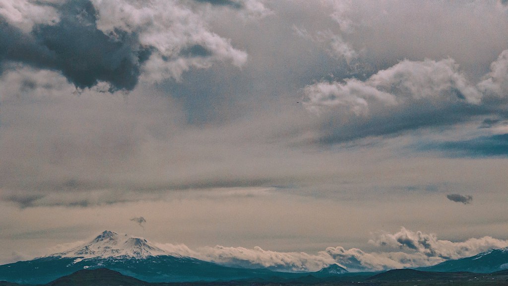
Snow-capped Mt. Shasta

The Willow Creek Schoolhouse. - Cycle Oregon 2009
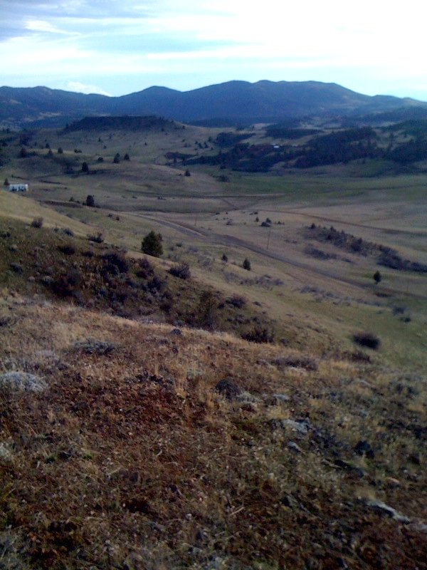
local view
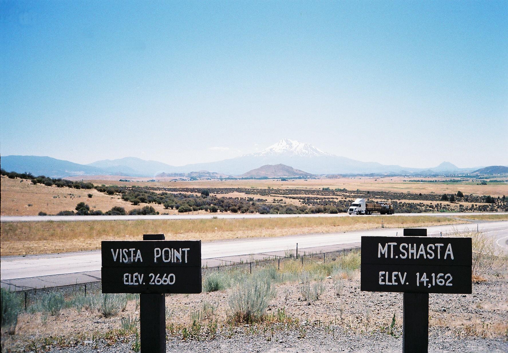
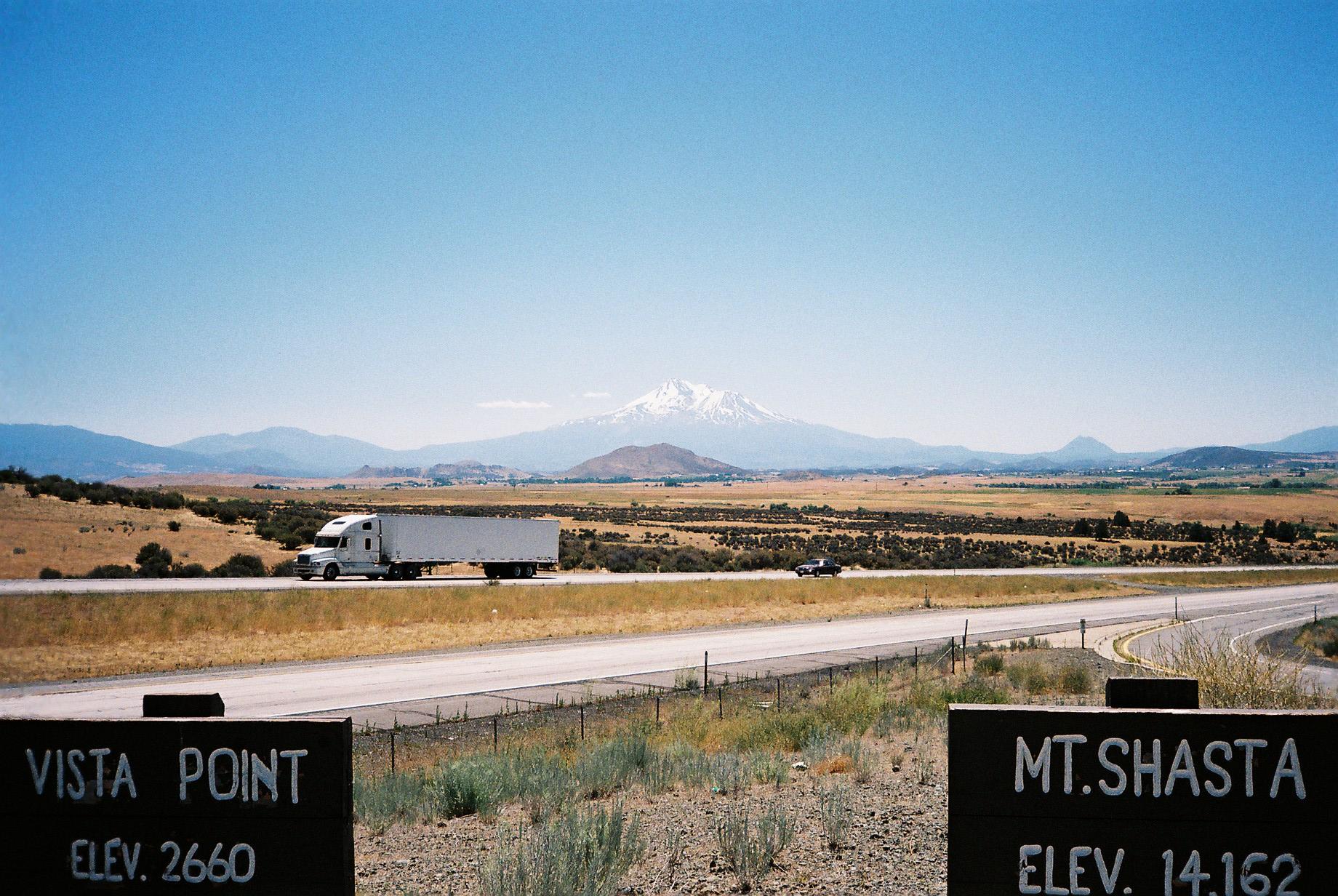
A view of Mt. Shasta from Vista Point

Day 129 - 7.30.07

White Washing Away

a2005-24-11
my gorgeous view this morning in Hornbrook CA

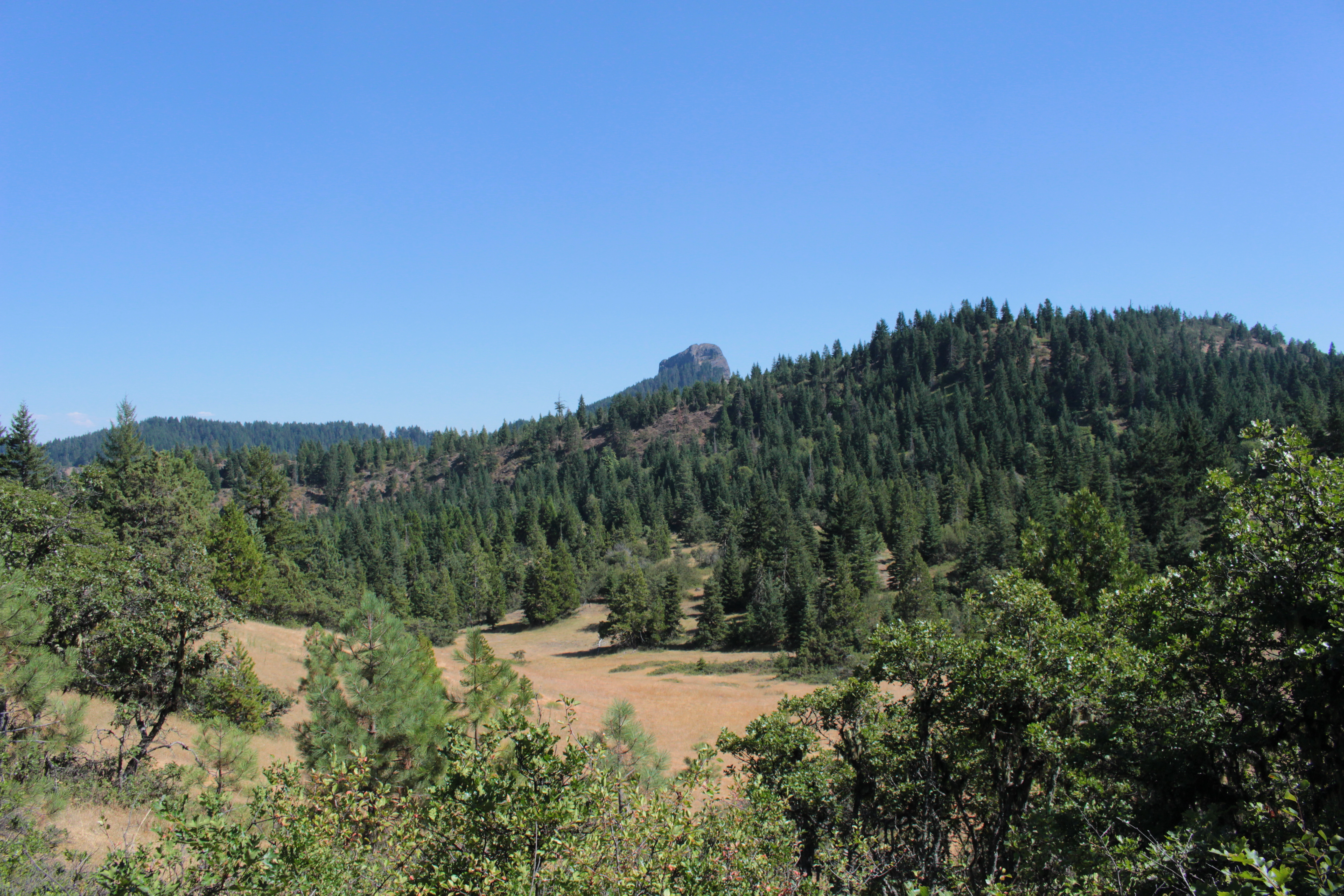
View into California, from Pilot Rock
Last view of Pilot Rock
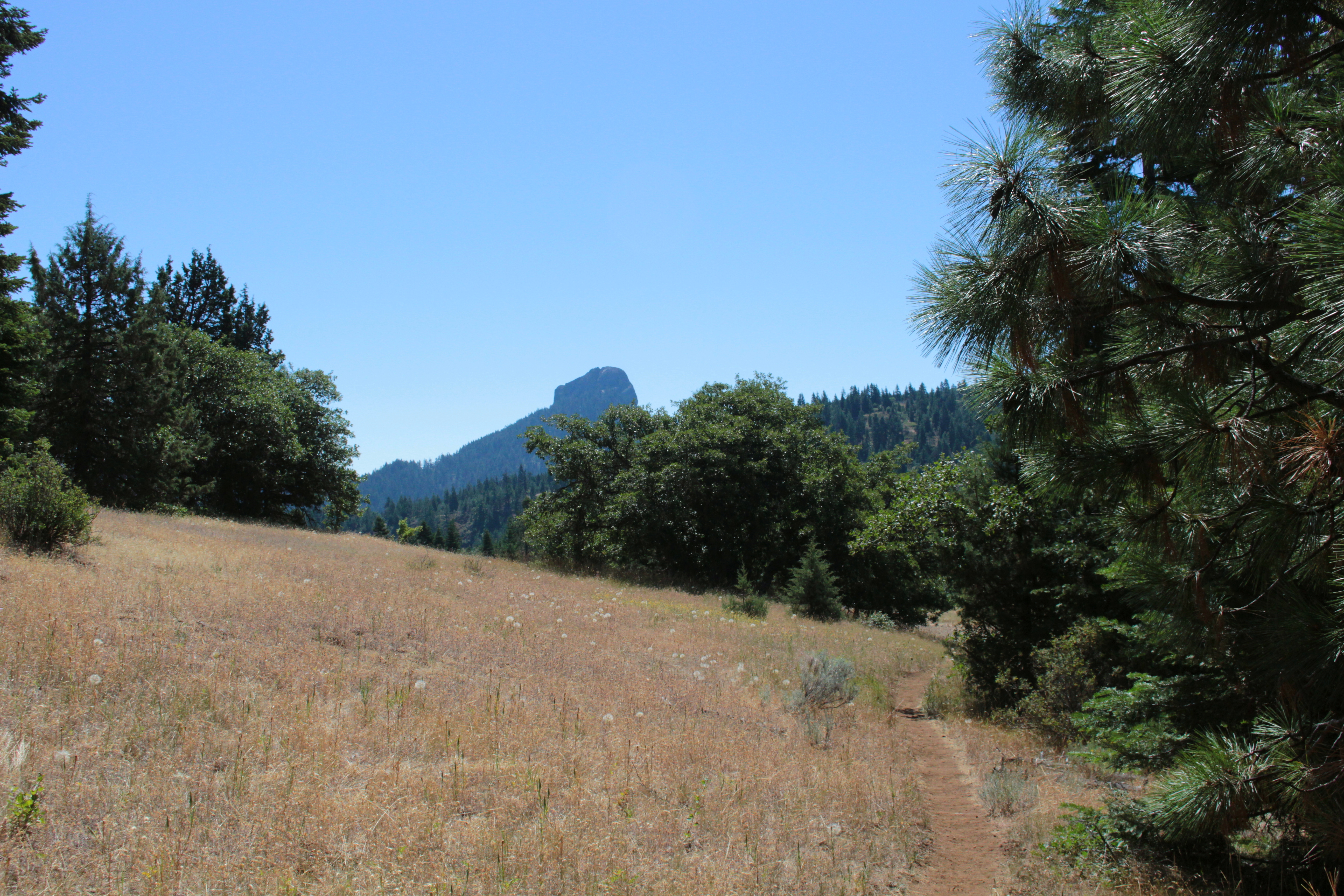
First view of Pilot Rock, our destination
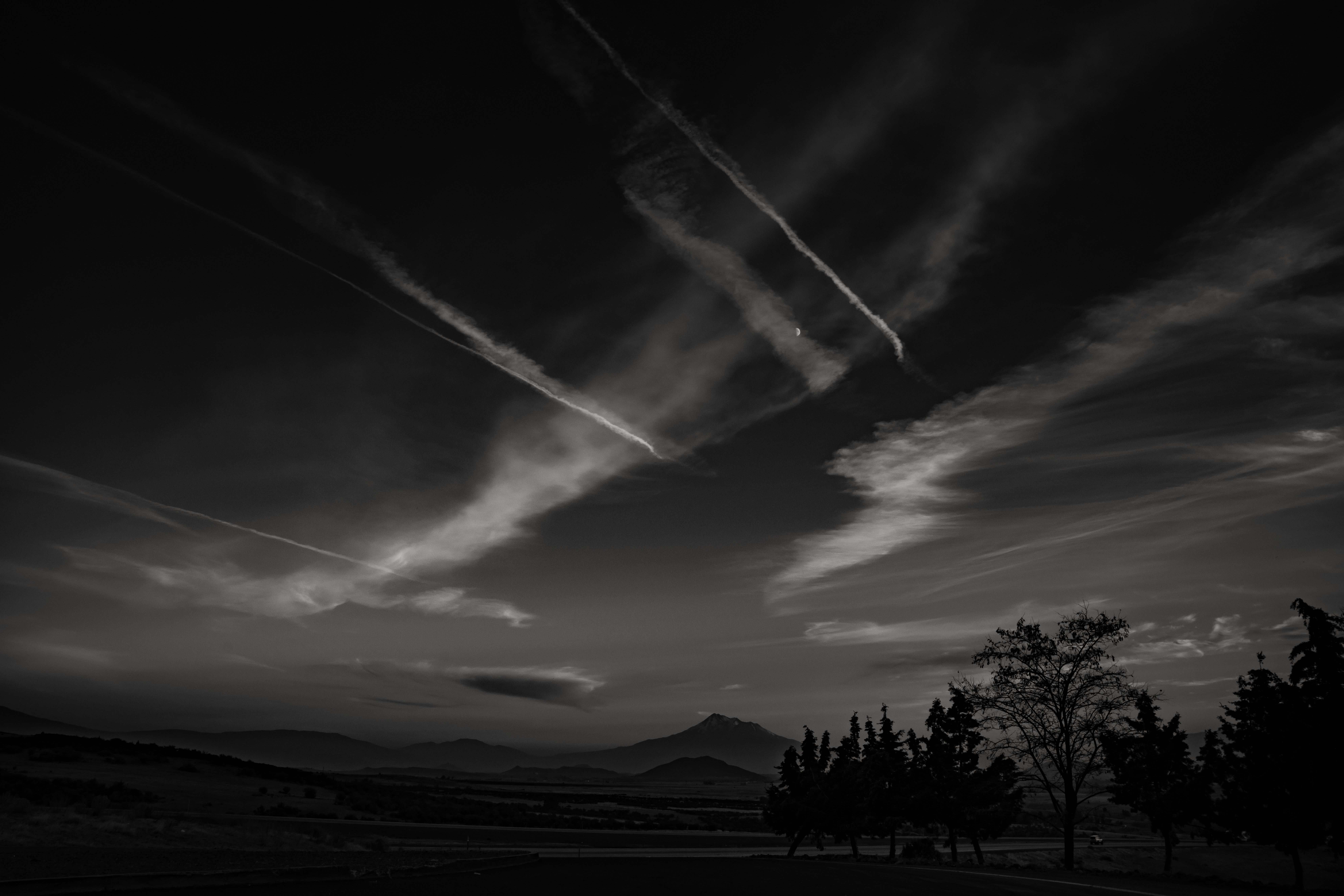
nite fliers...
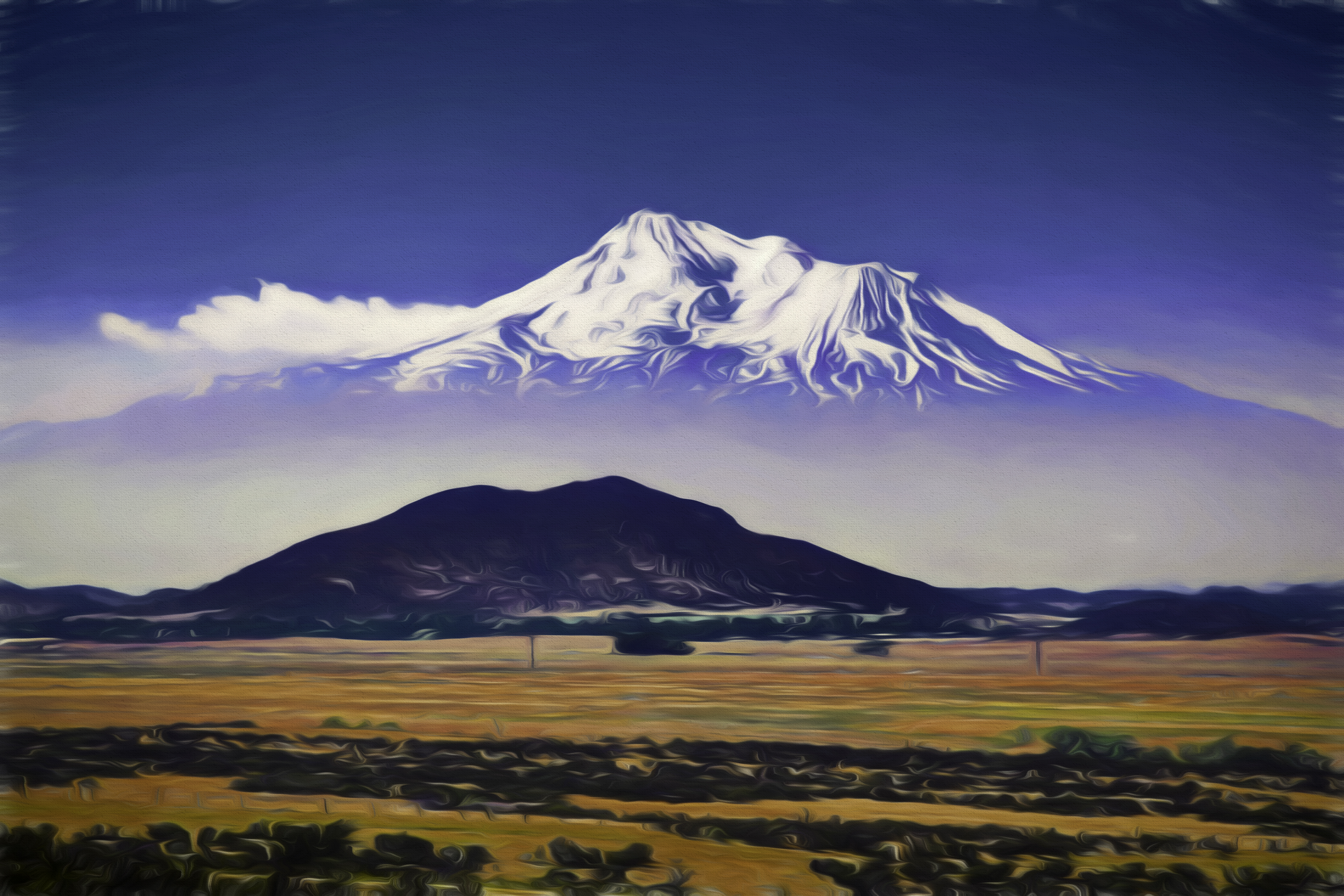
Mt. Shasta
above, and below the clouds...
ever notice how slow females eat... or, ever notice how fast males eat...
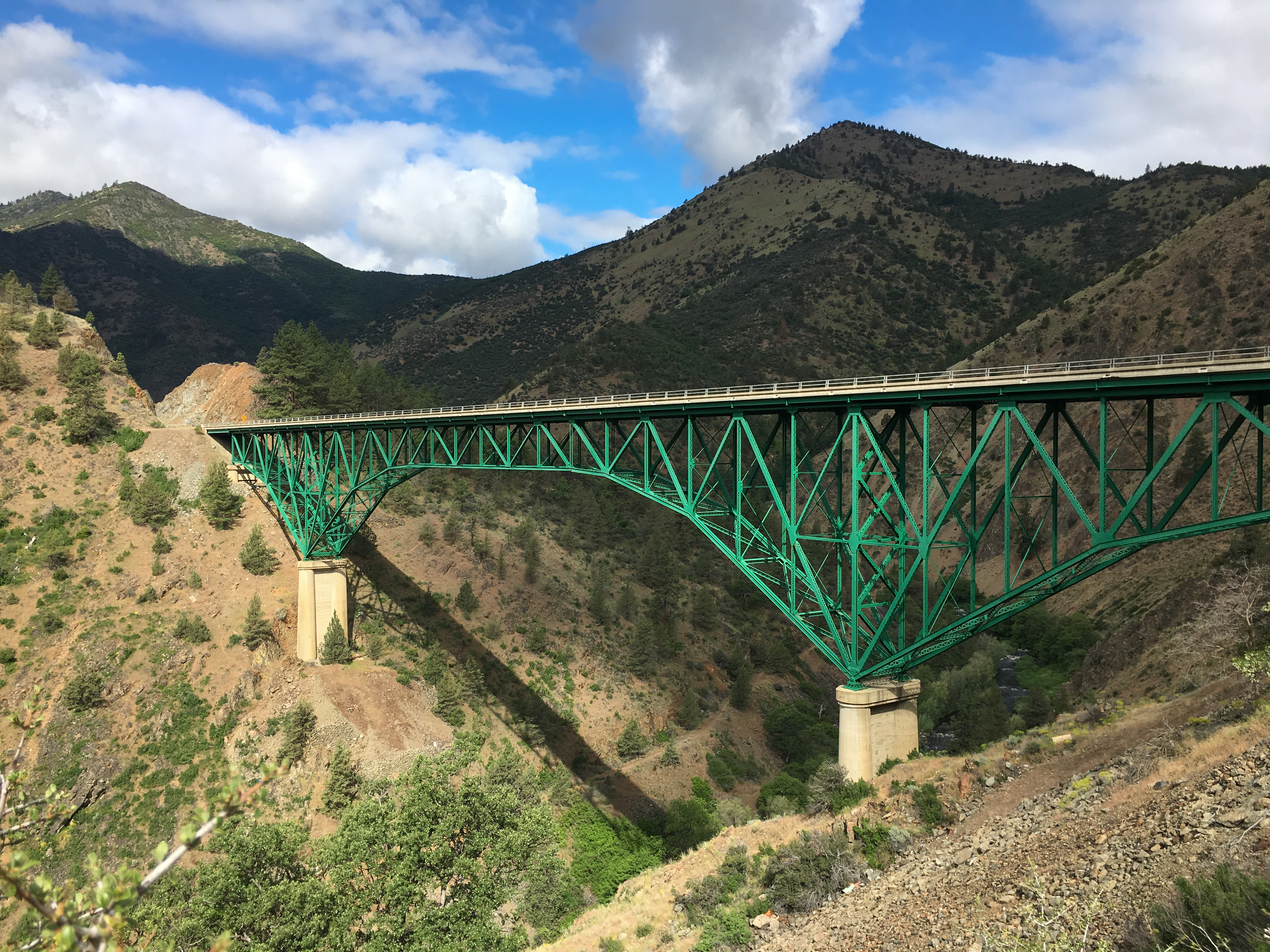
Pioneer Bridge, California Highway 263 over the Shasta River
Ansel Adamsy

Mt. Shasta #latergram
Hiking Pilot Rock
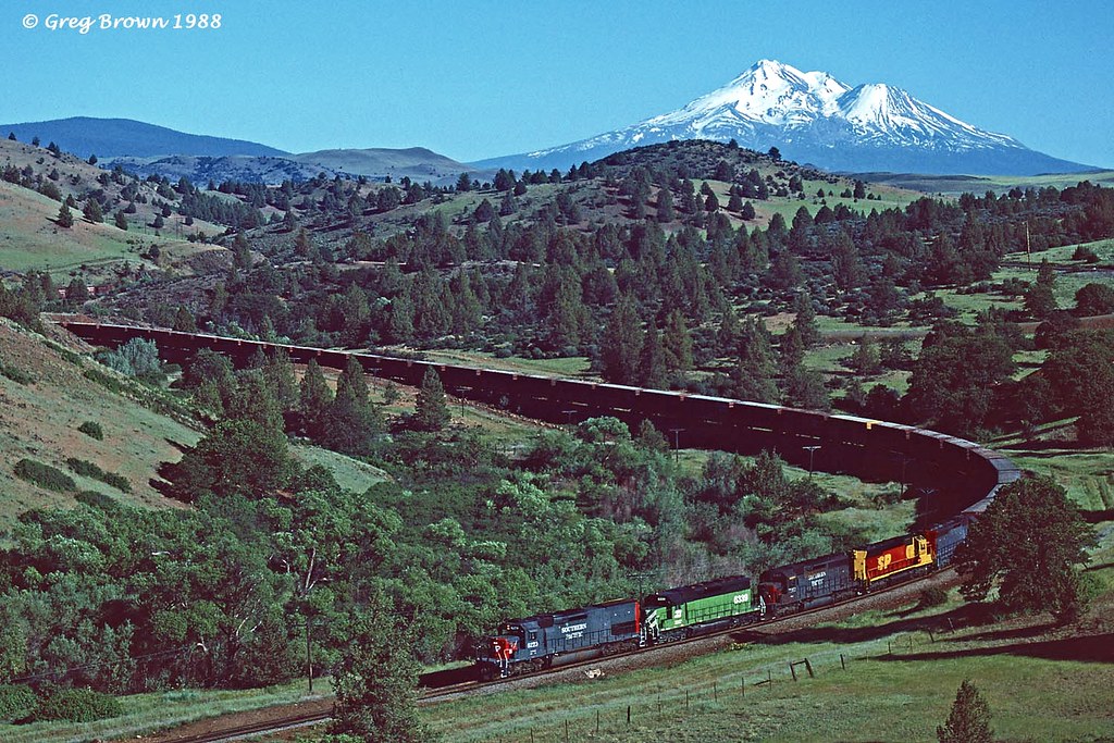
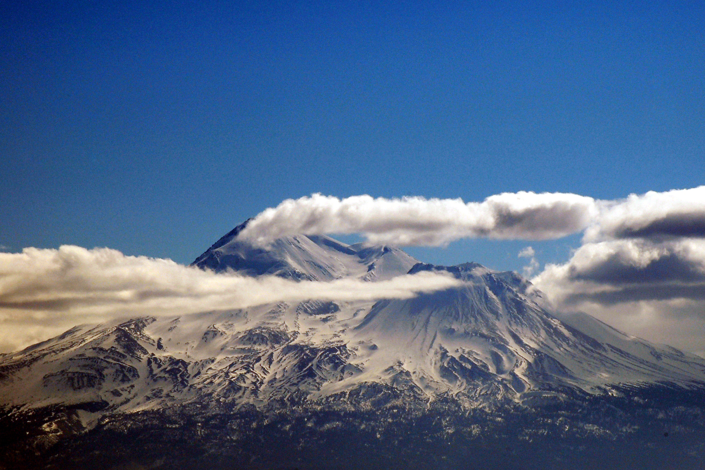
Mt. Shasta, Northern California with clouds.
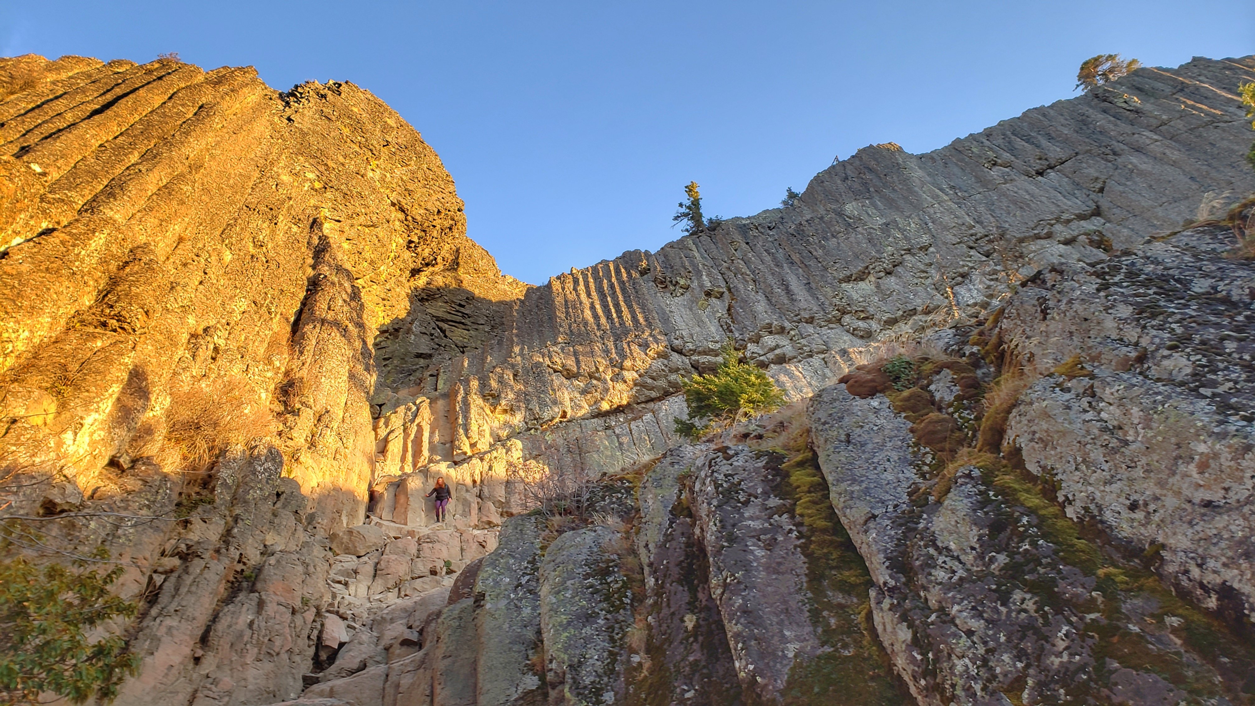
Hiking Pilot Rock
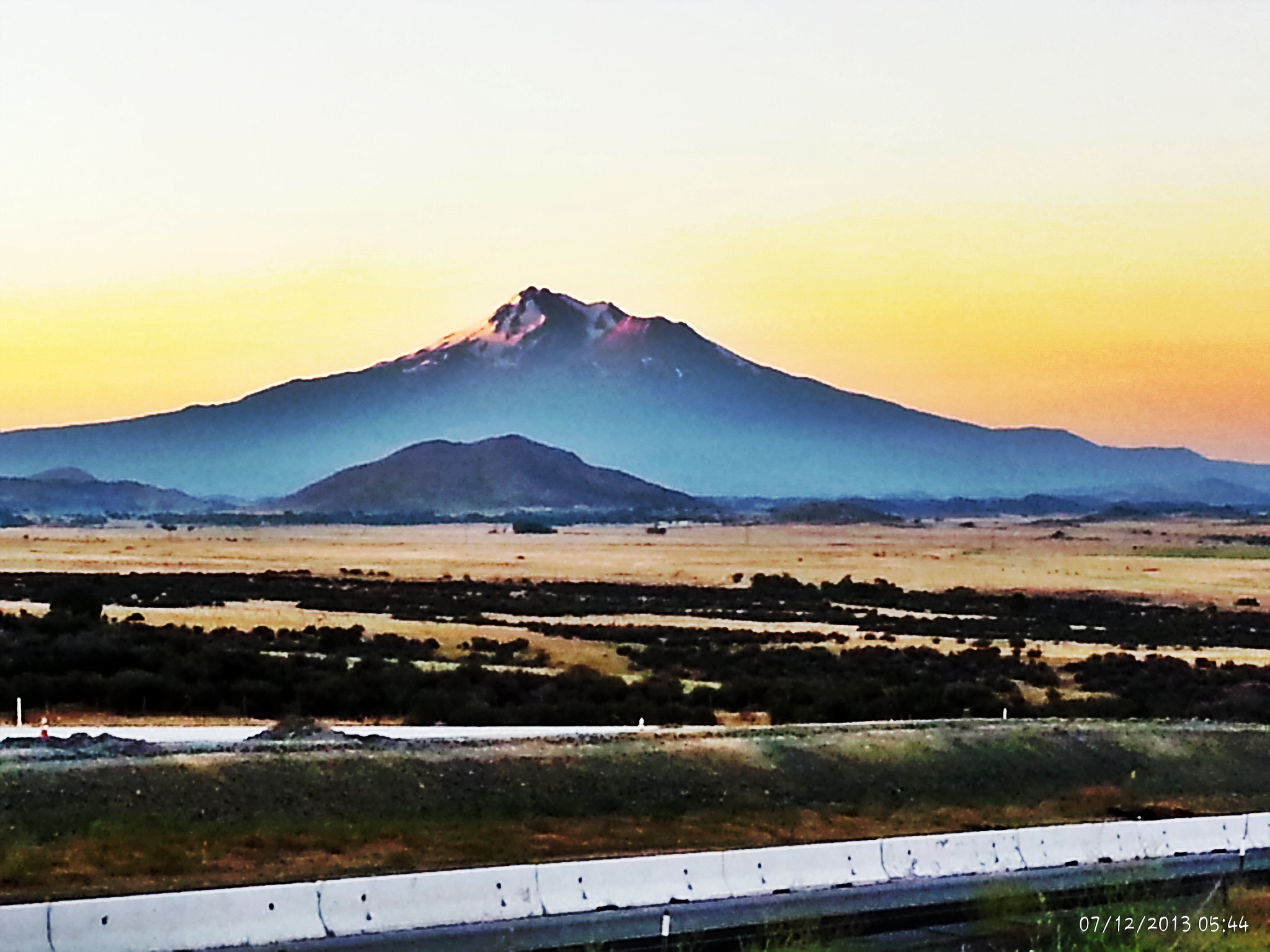
2013-07-12 05.44.53-1

20180710-LRC94071-HDR

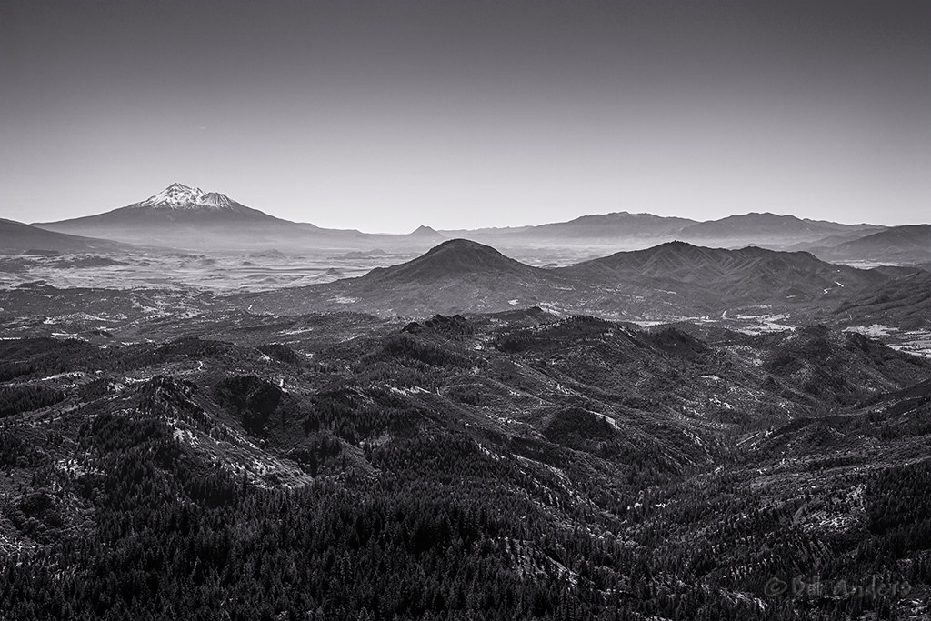
2011-365/333 - Mt. Shasta and the Valley Below

20180710-LRC94070

California Siskiyou Pass Strange Cloud Formation

Windows%2520Phone_20121229_026

Windows%2520Phone_20121229_032
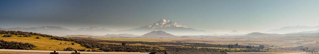
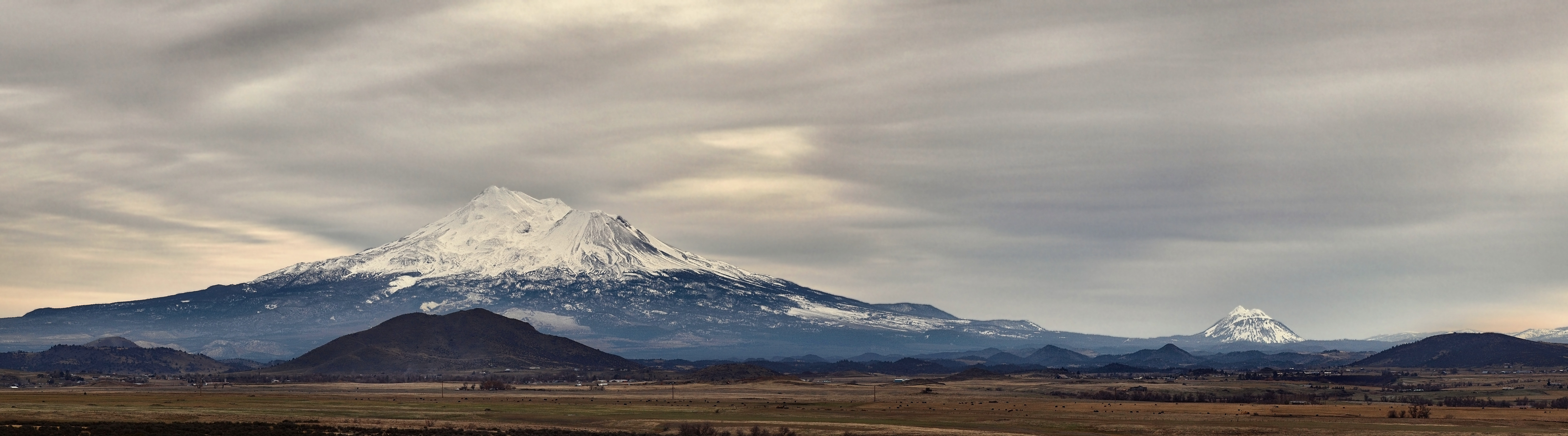
Shasta Pan 1
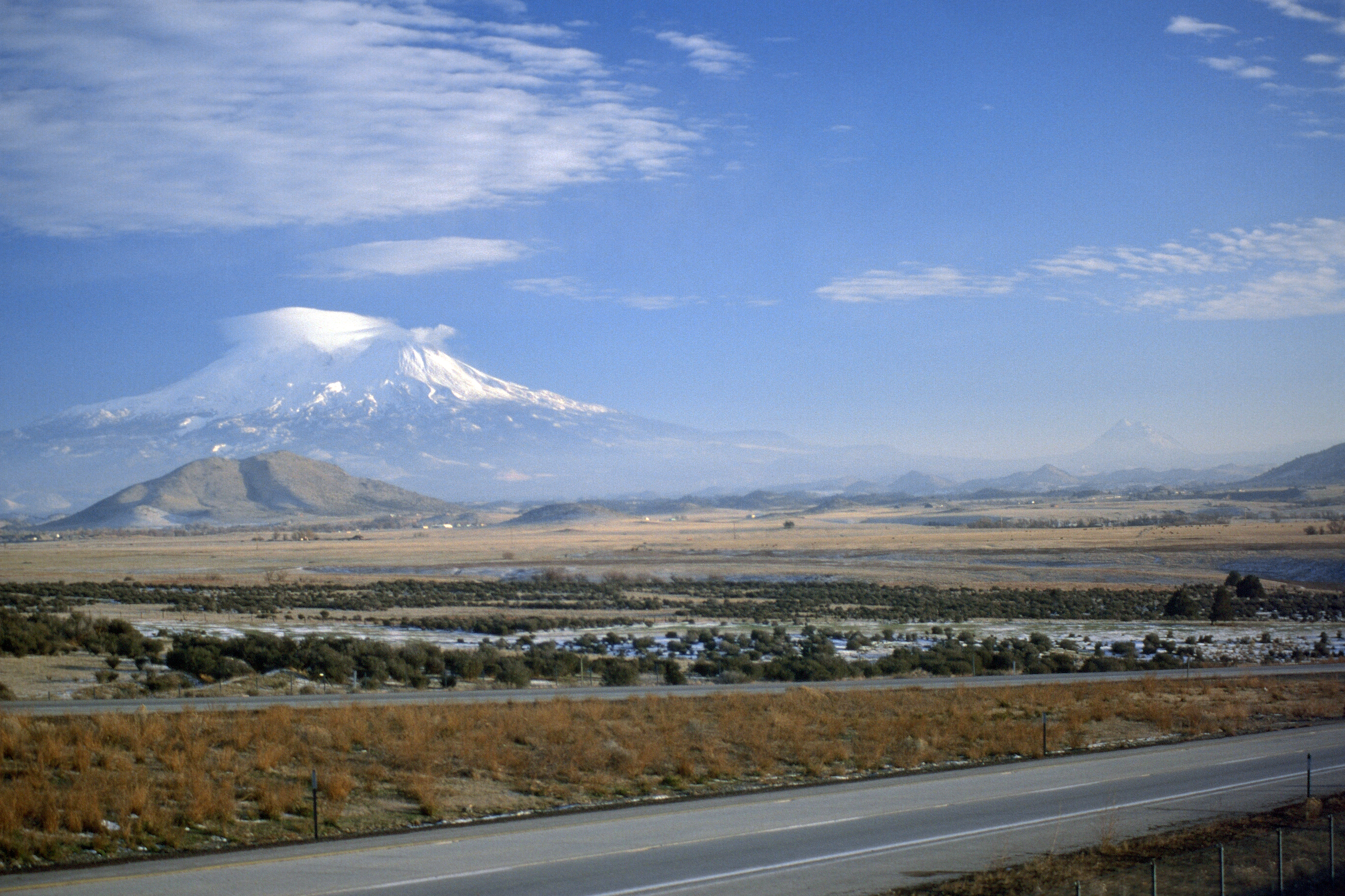
19901222-002
Topographic Map of Oregon Rd, Hornbrook, CA, USA
Find elevation by address:

Places near Oregon Rd, Hornbrook, CA, USA:
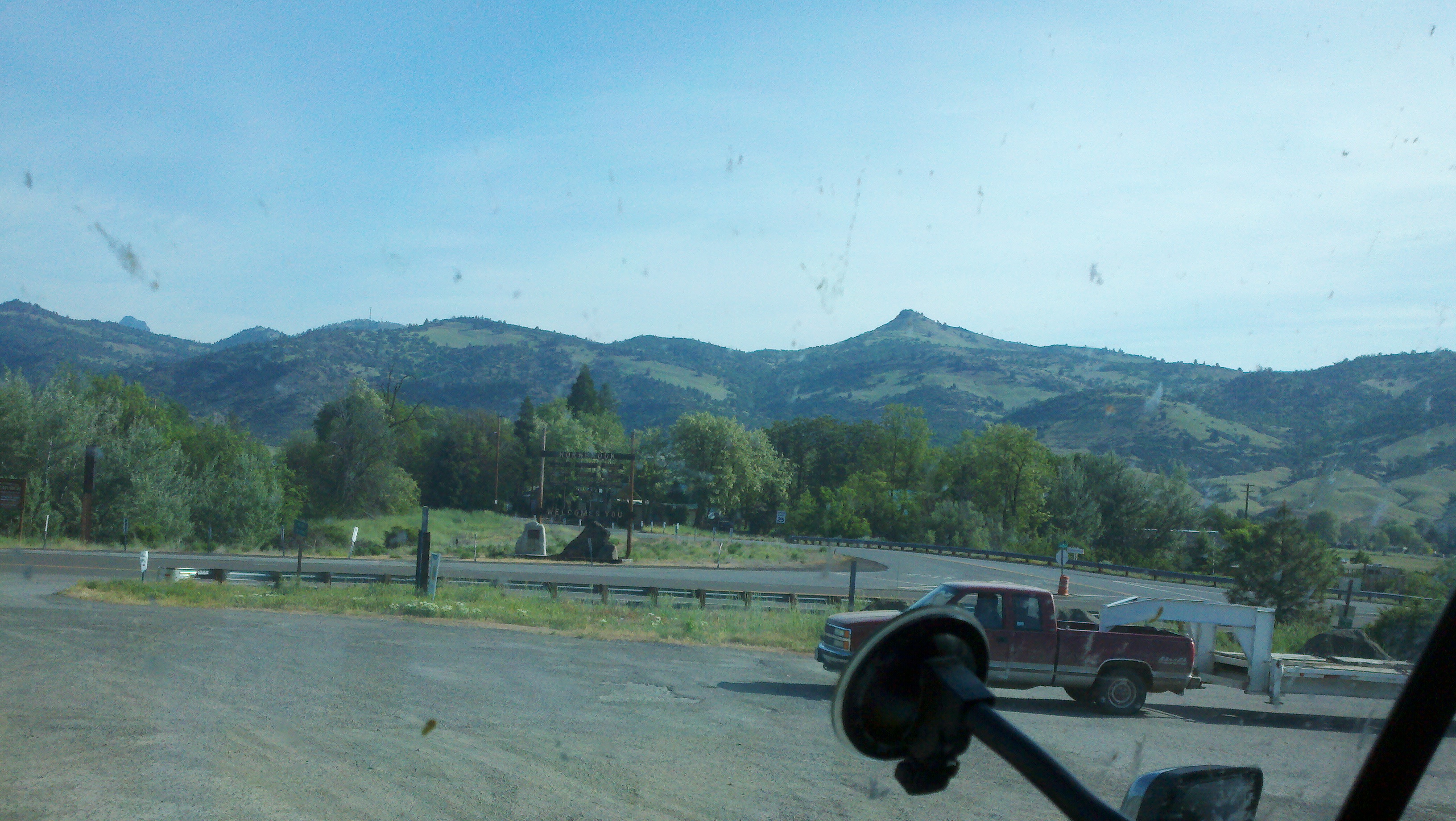
Hornbrook
51 Main St
Main St, Hornbrook, CA, USA
Red Bird Street
3625 Whitefish Pl
Hornbrook, CA, USA
Dandy Lane
5140 Dandy Ln
Klamath River Hwy, Yreka, CA, USA
Hilt
Ager Beswick Rd, Montague, CA, USA
Lake Road
1909 Colestin Rd
2245 Colestin Rd
Siskiyou County
2216 Colestin Rd
Kuck Rd, Montague, CA, USA
11800 Old Hwy 99 S
Siskiyou Summit
1895 Colestin Rd
Recent Searches:
- Elevation of Elwyn Dr, Roanoke Rapids, NC, USA
- Elevation of Congressional Dr, Stevensville, MD, USA
- Elevation of Bellview Rd, McLean, VA, USA
- Elevation of Stage Island Rd, Chatham, MA, USA
- Elevation of Shibuya Scramble Crossing, 21 Udagawacho, Shibuya City, Tokyo -, Japan
- Elevation of Jadagoniai, Kaunas District Municipality, Lithuania
- Elevation of Pagonija rock, Kranto 7-oji g. 8"N, Kaunas, Lithuania
- Elevation of Co Rd 87, Jamestown, CO, USA
- Elevation of Tenjo, Cundinamarca, Colombia
- Elevation of Côte-des-Neiges, Montreal, QC H4A 3J6, Canada