Elevation of Hornbrook, CA, USA
Location: United States > California > Siskiyou County > Hornbrook >
Longitude: -122.48782
Latitude: 41.9374147
Elevation: 879m / 2884feet
Barometric Pressure: 91KPa
Elevation Map:
Satellite Map:
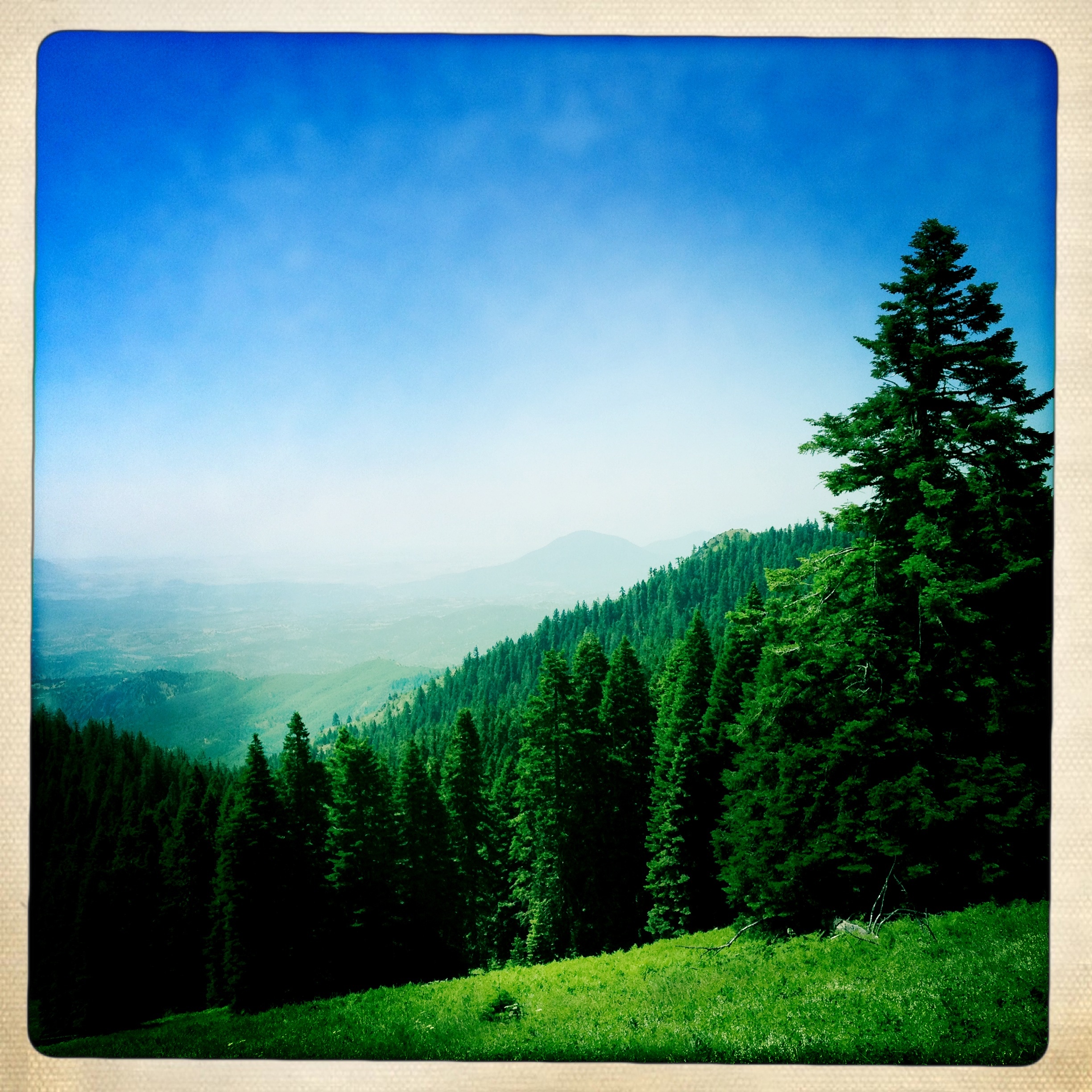
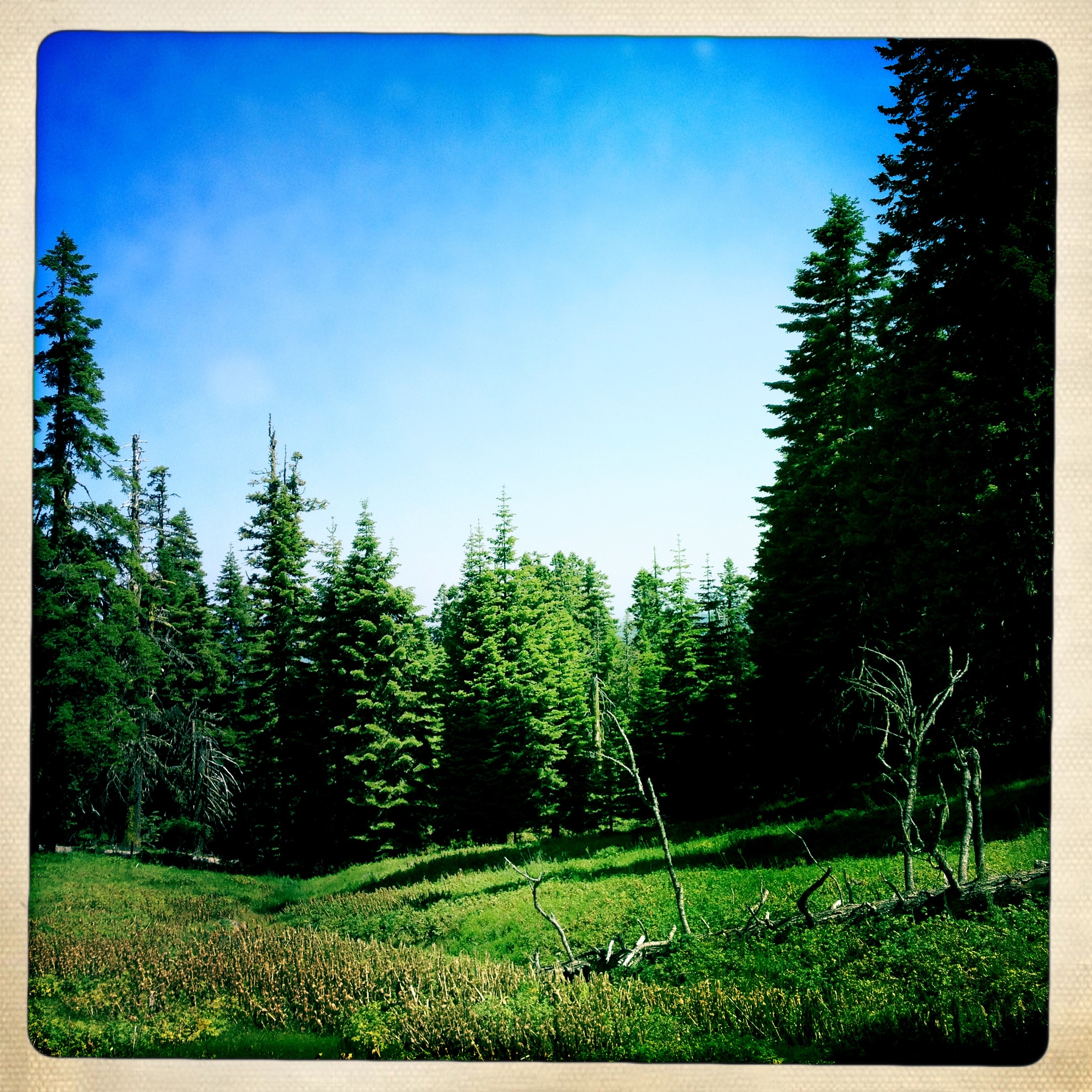
Related Photos:
Oregon!

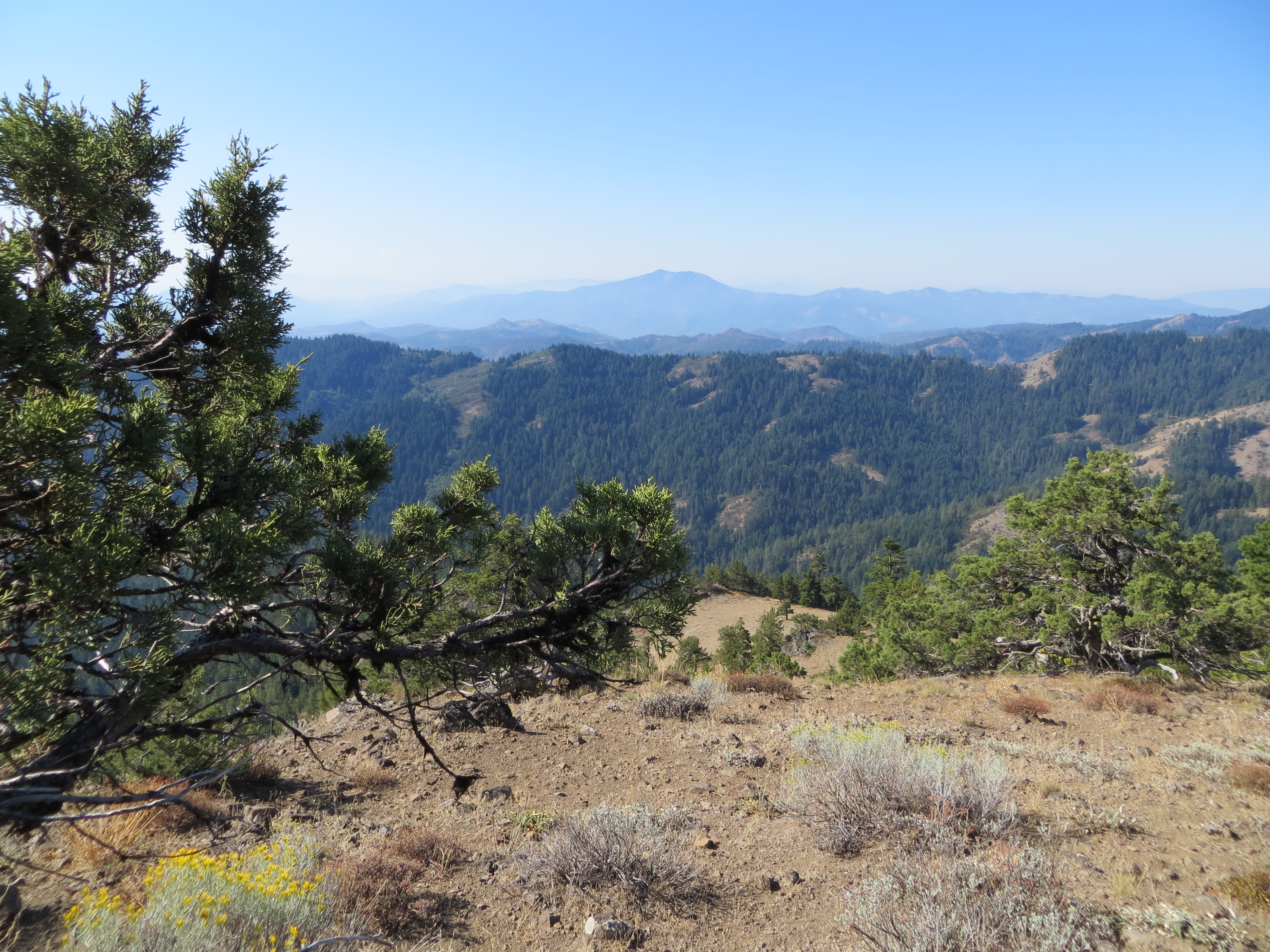
Mount McLoughlin

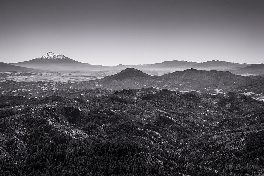
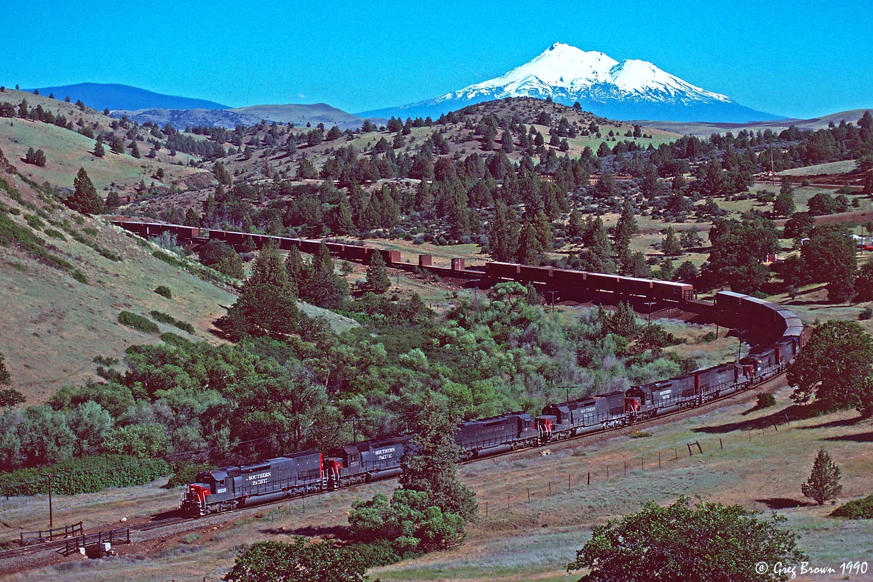
Mount Shasta
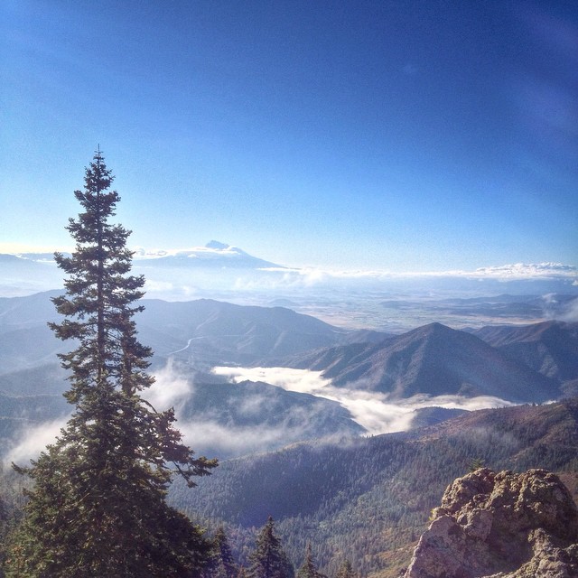
Beautiful view from Cottonwood Mtn this morning. It's fun to see the tops of clouds before they roll over the summit. ⬆️
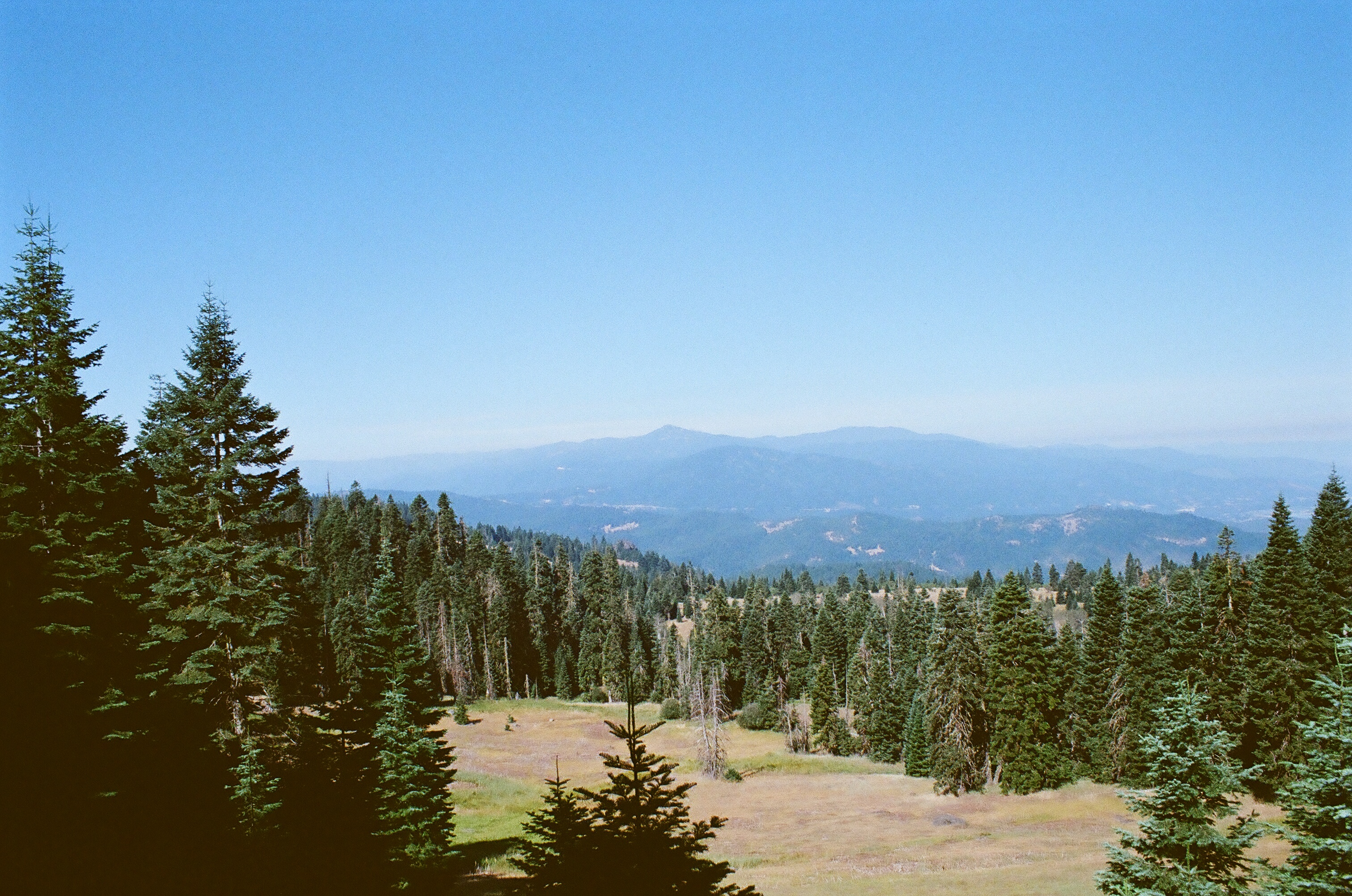
Boccard Point
Boccard Point
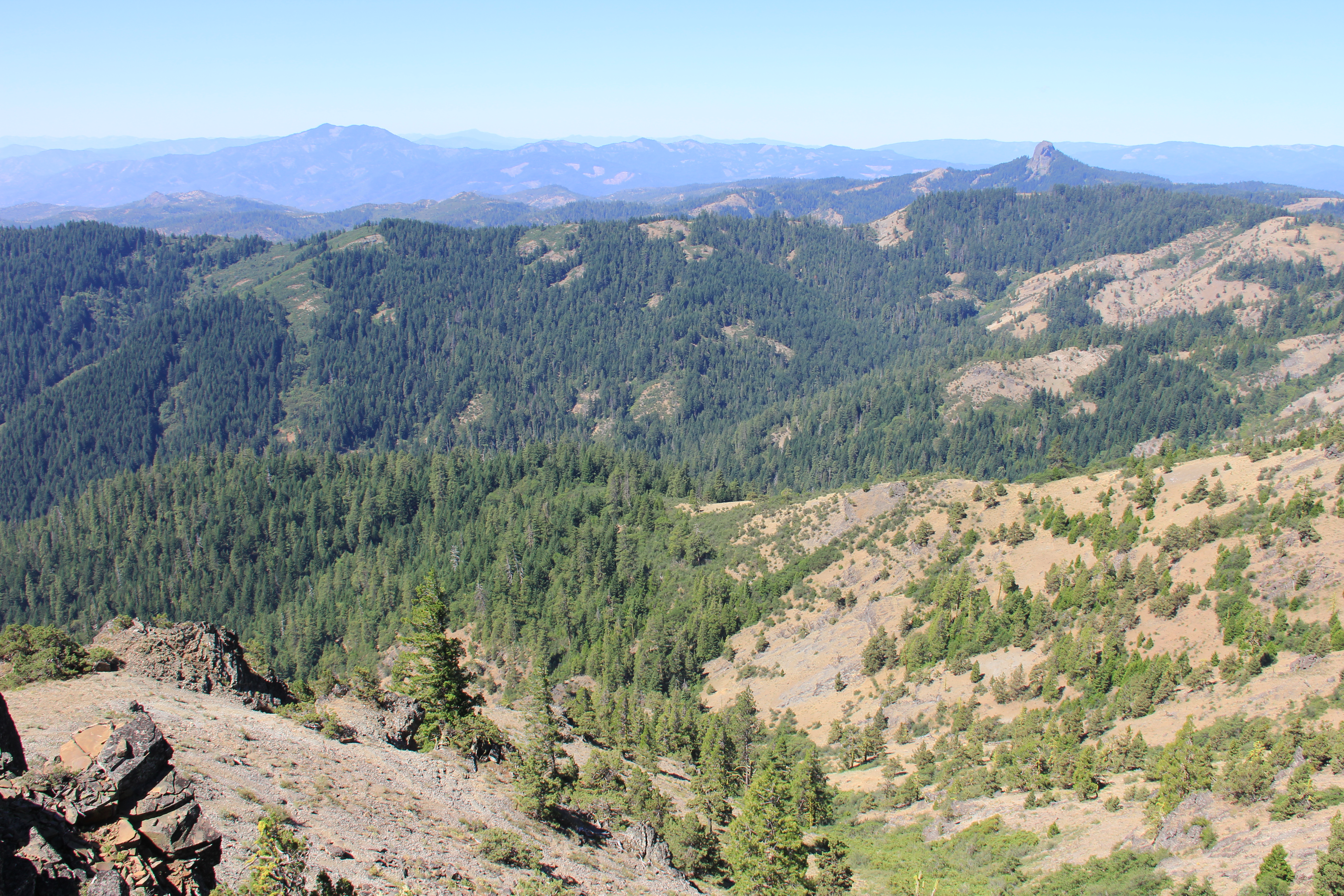
View From Boccard
View from Boccard
Boccard Point
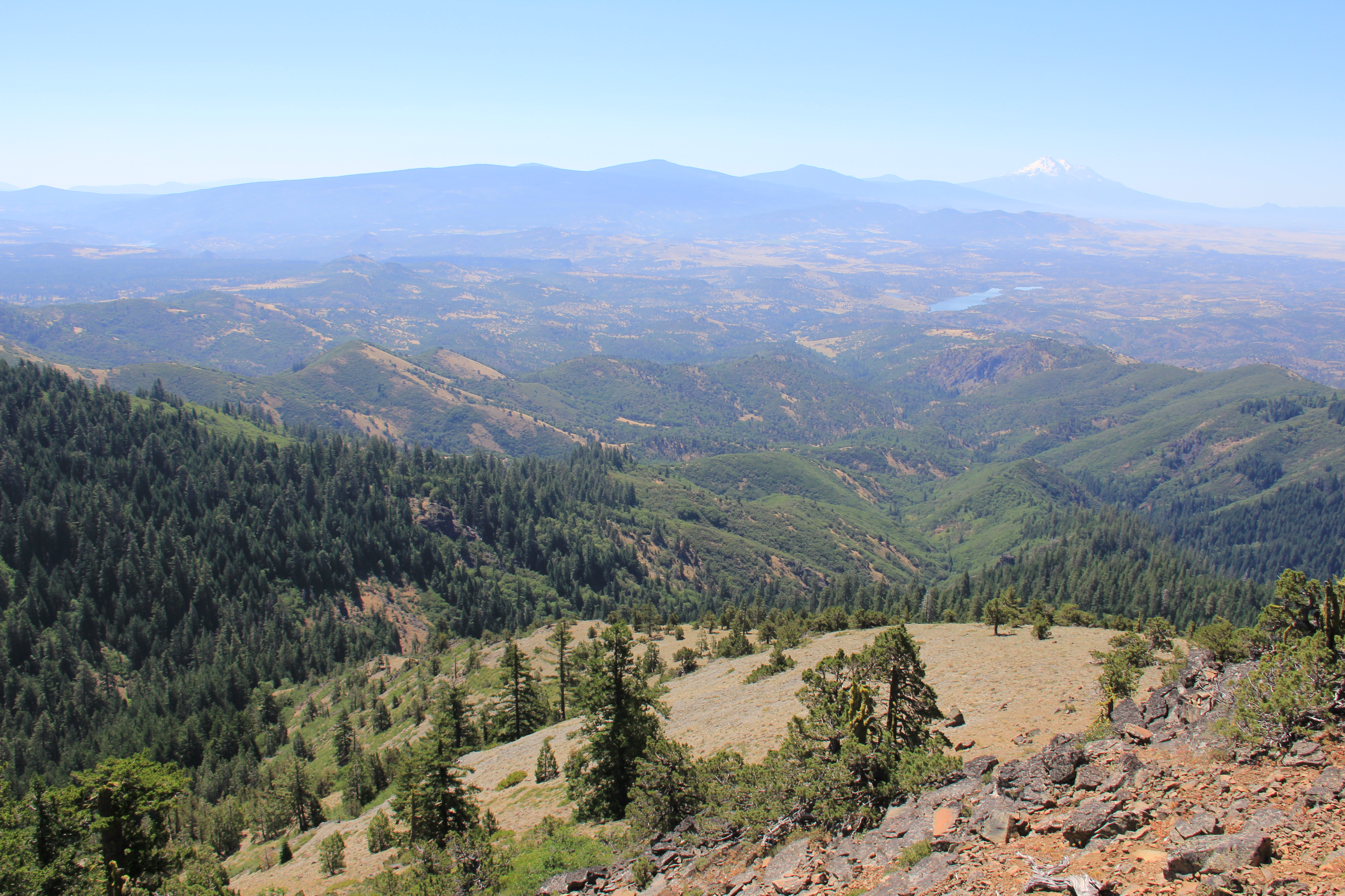
Pilot Rock Shasta View
The View from Boccard Road

The Willow Creek Schoolhouse. - Cycle Oregon 2009

White Washing Away

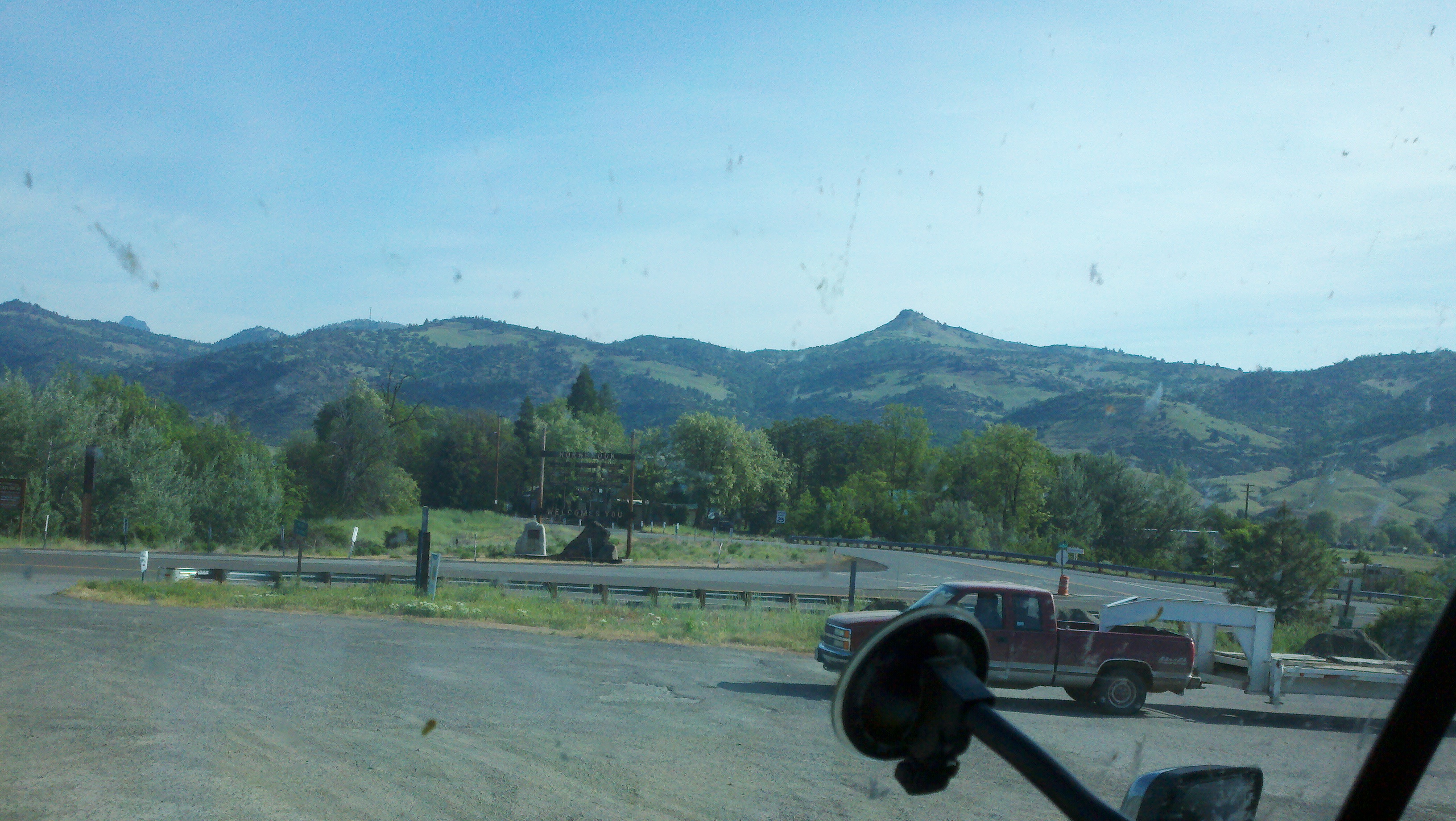
Last look at California
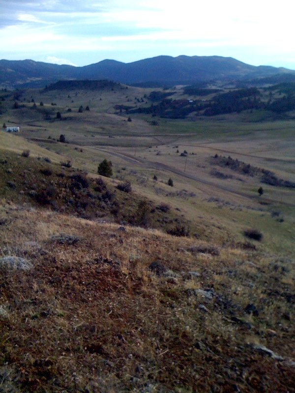
local view

View Lot For Sale
my gorgeous view this morning in Hornbrook CA
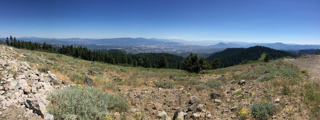
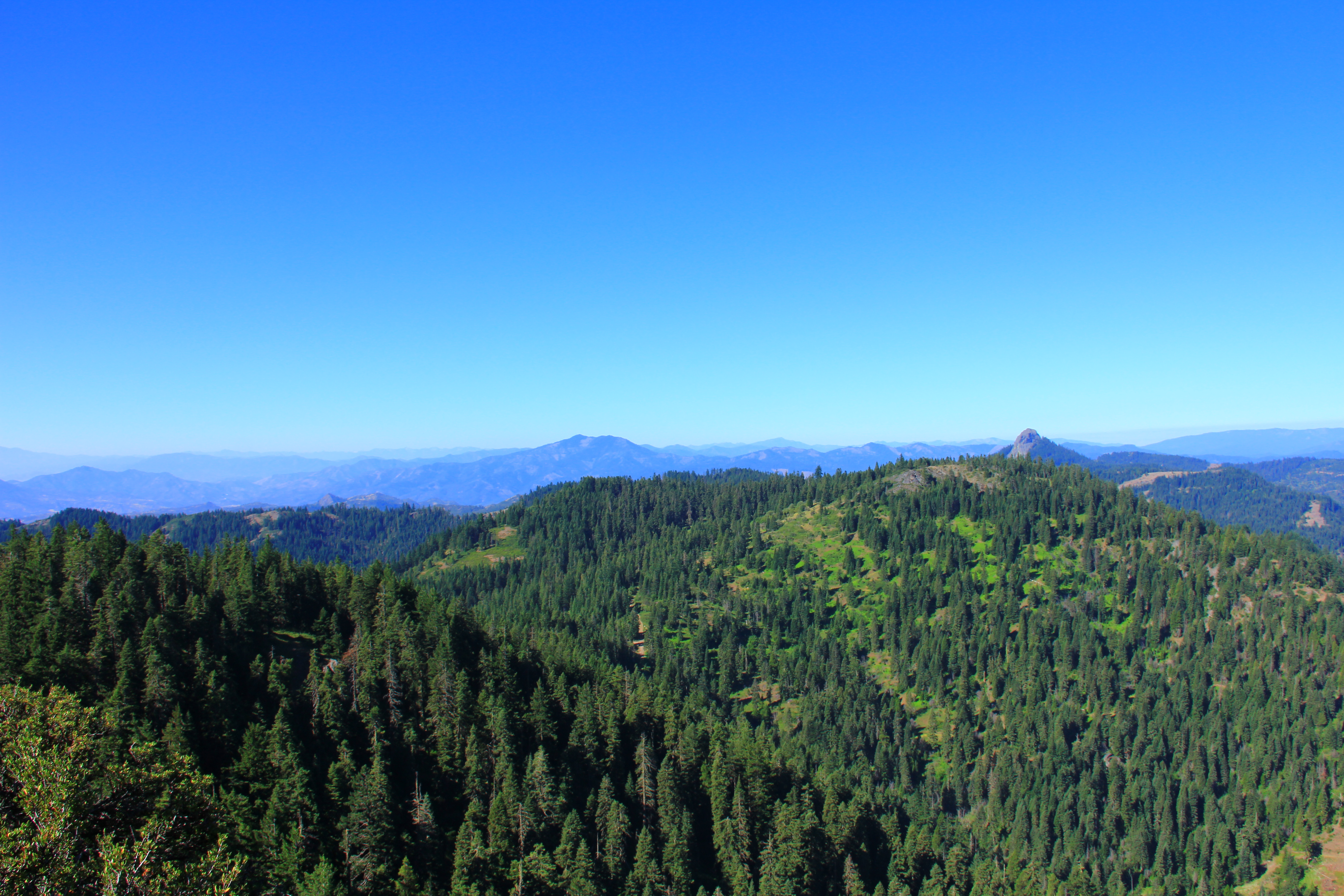
Soda Mountain Panorama
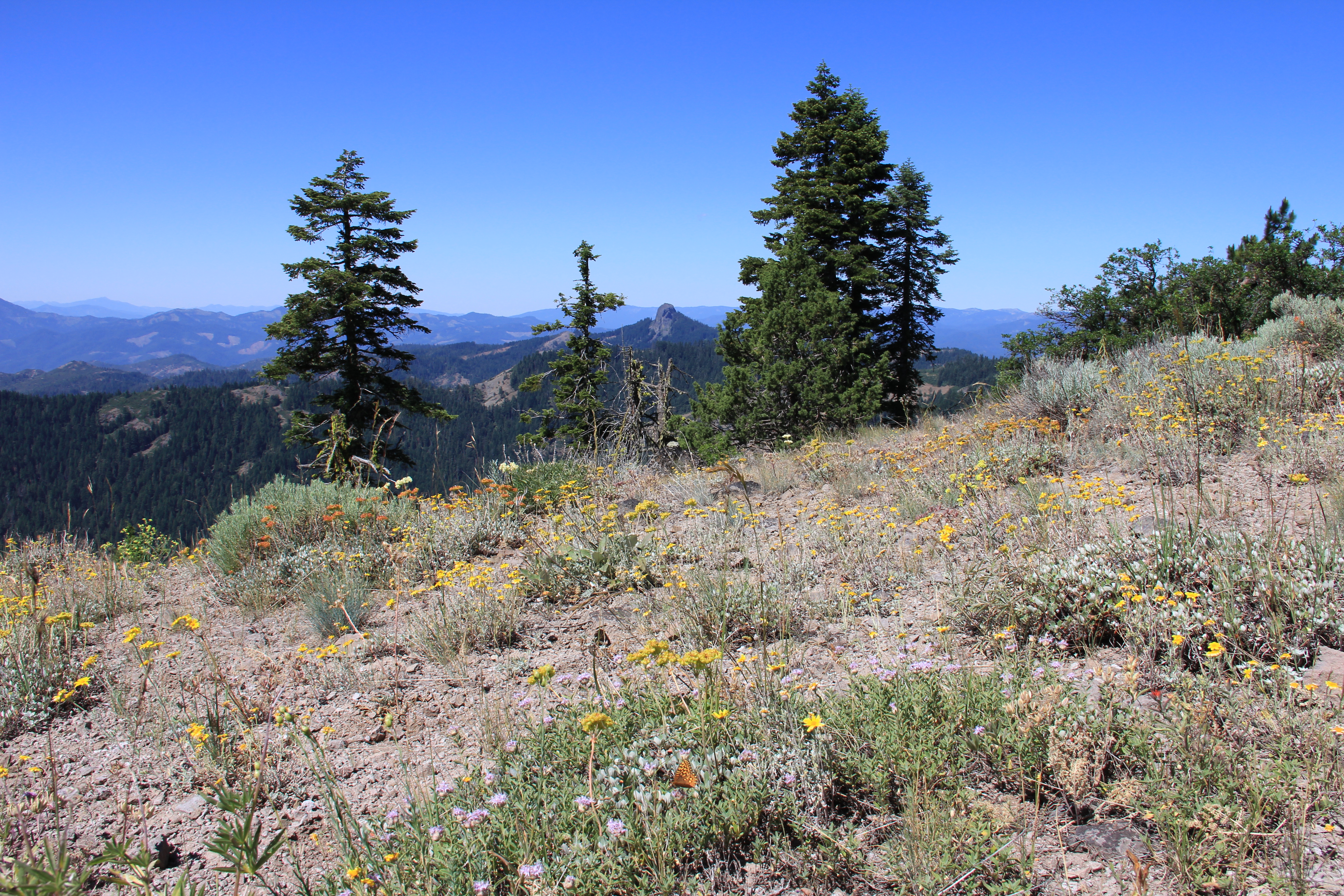
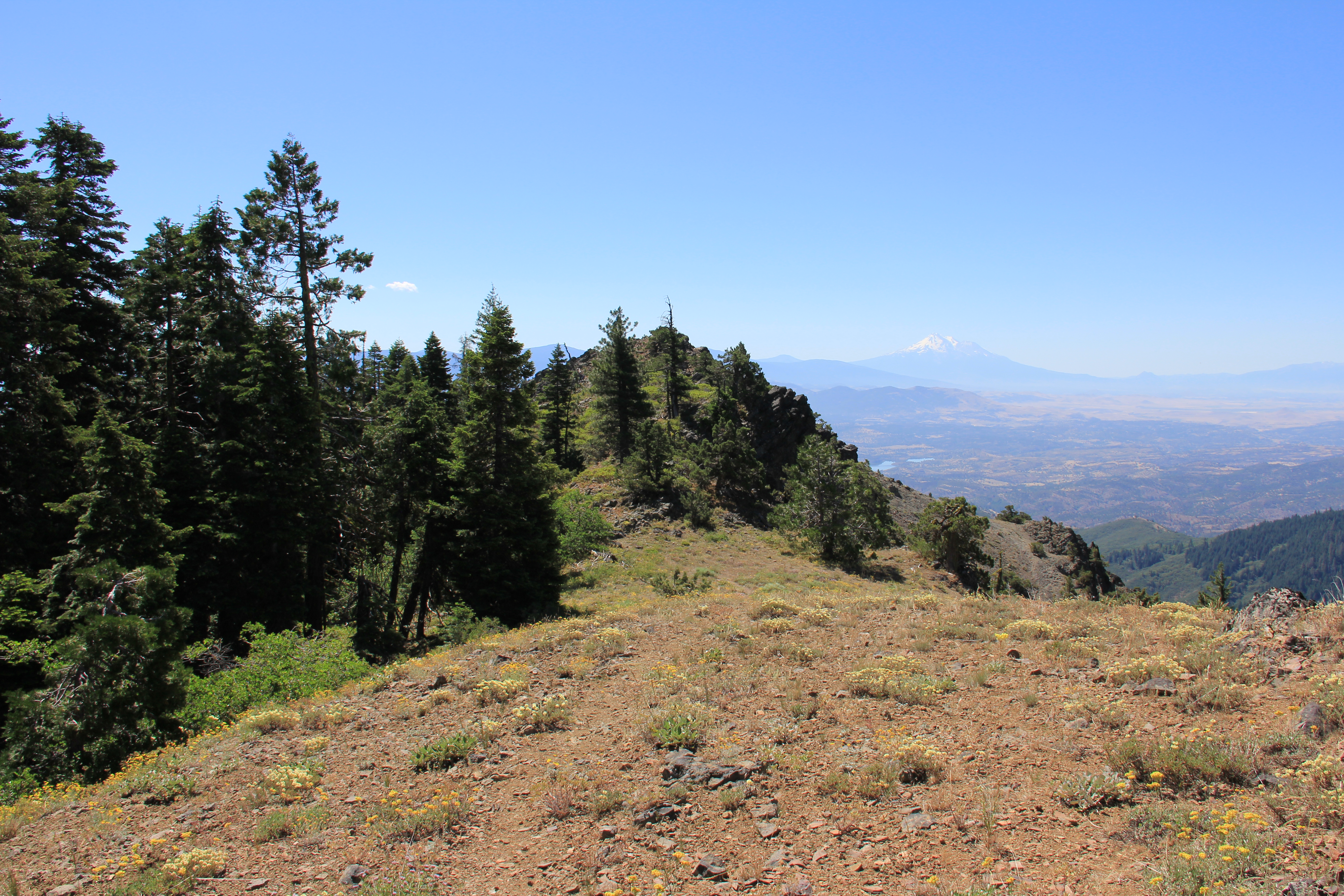
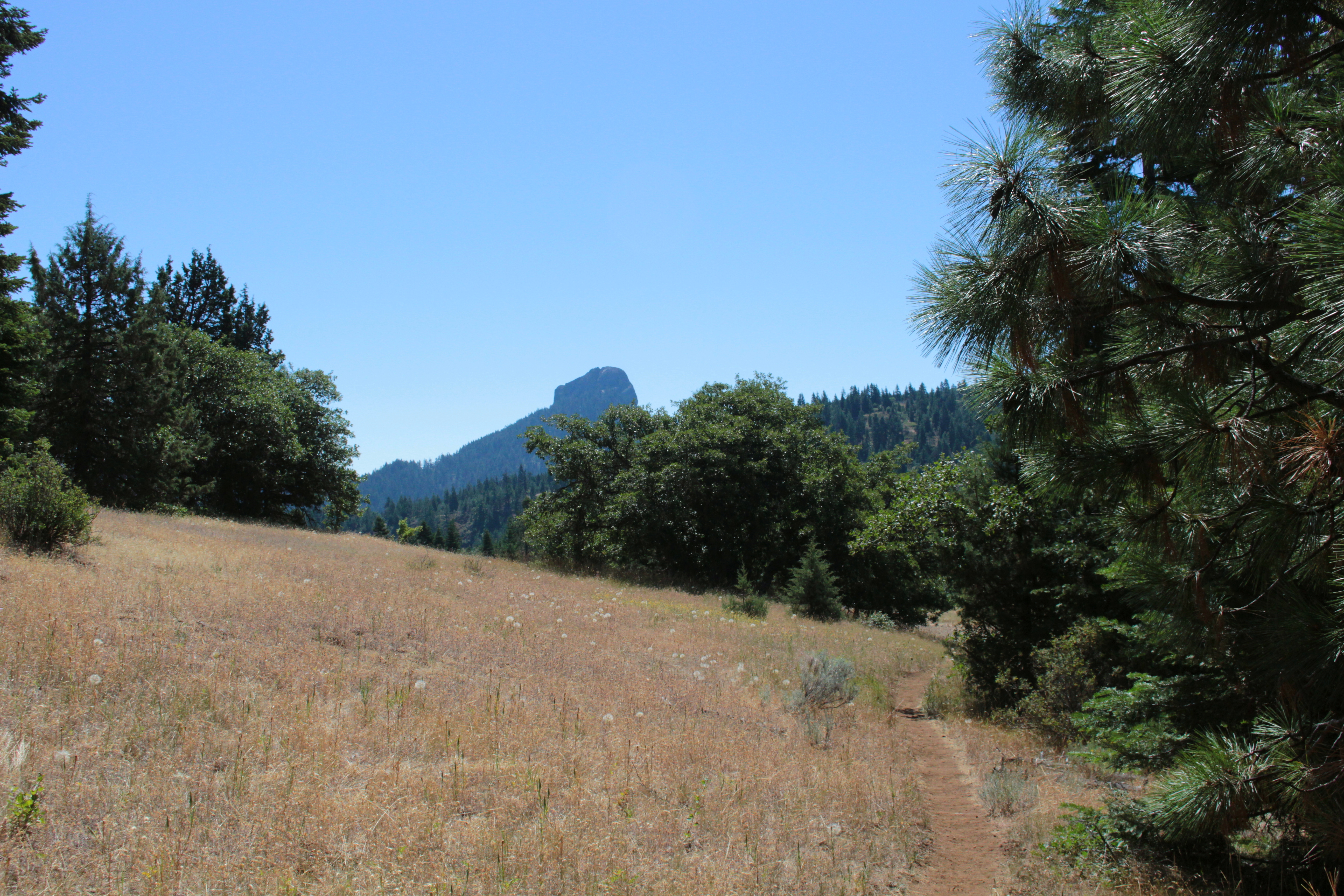
Last view of Pilot Rock

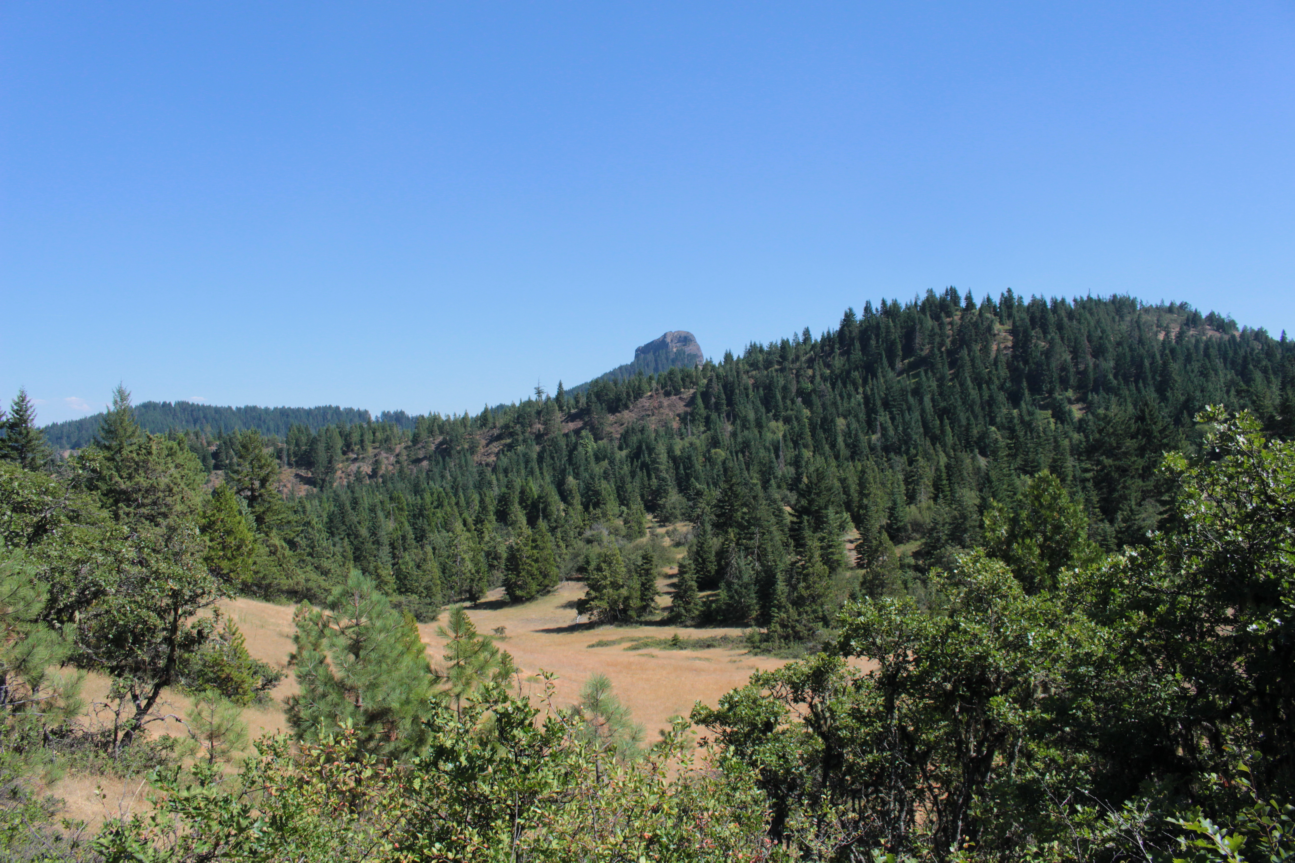
View into California, from Pilot Rock
First view of Pilot Rock, our destination
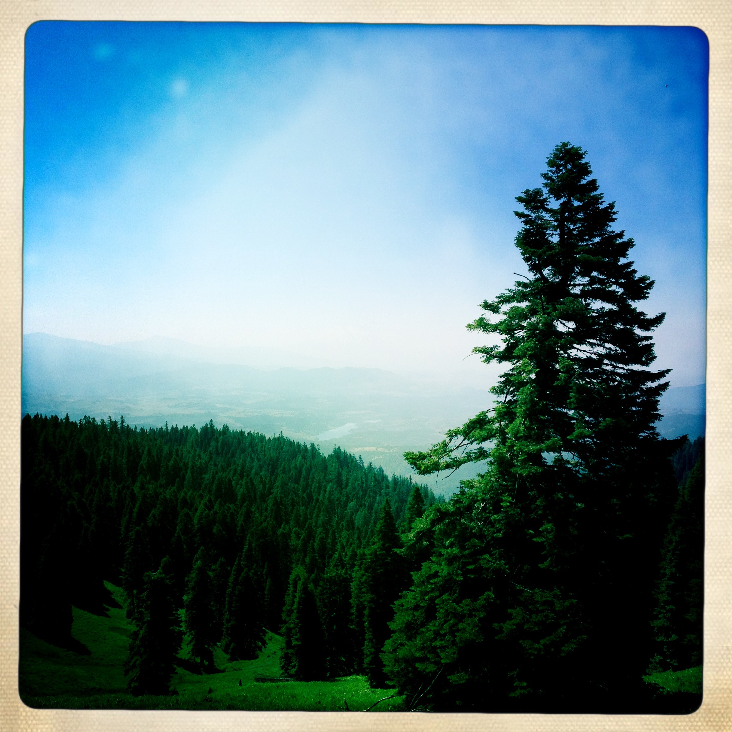
Cascade-Siskiyou National Monument

Windows%2520Phone_20121229_031

California Siskiyou Pass Strange Cloud Formation
Soda Mountain, Cascade-Siskiyou National Monument
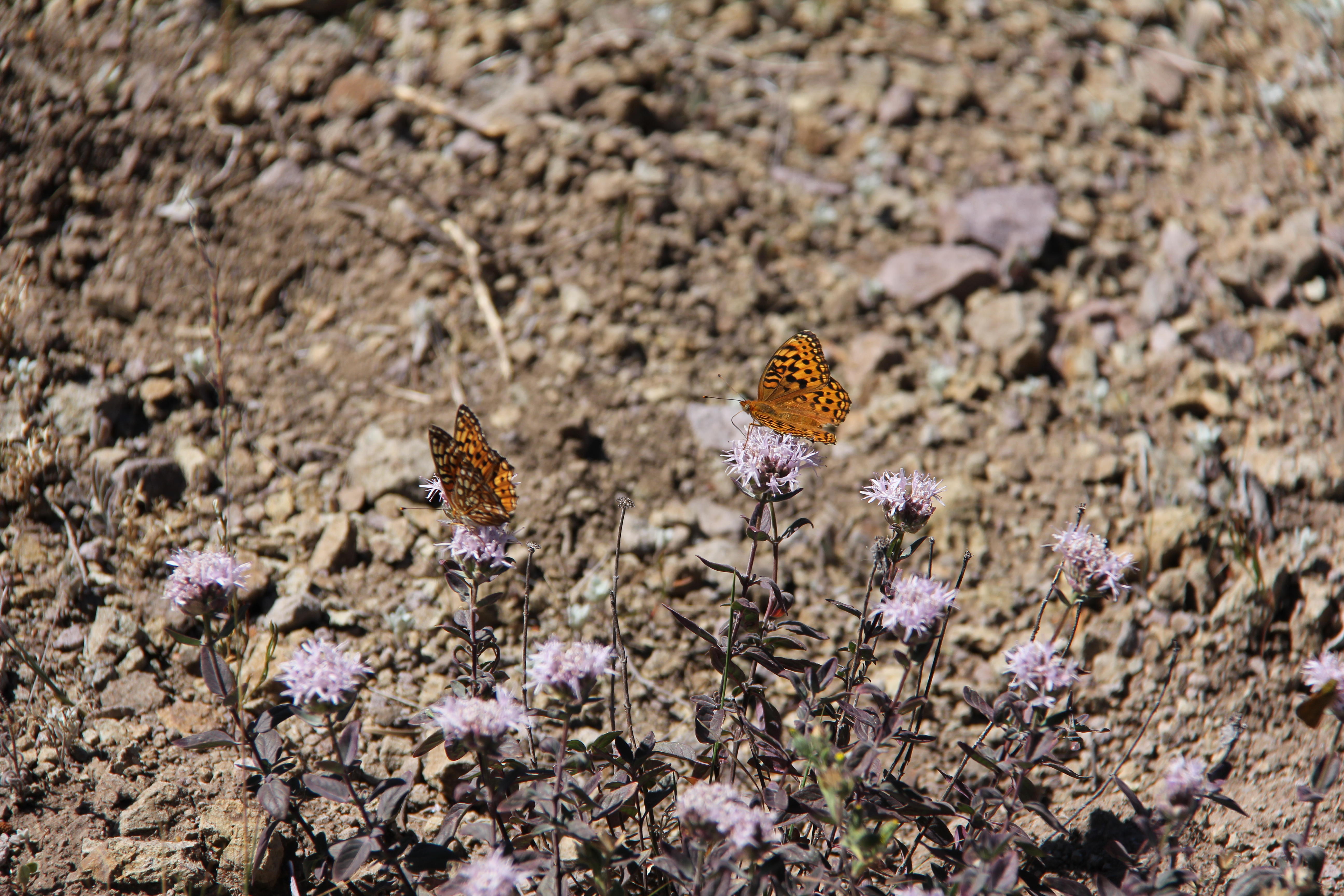
Two Butterflies
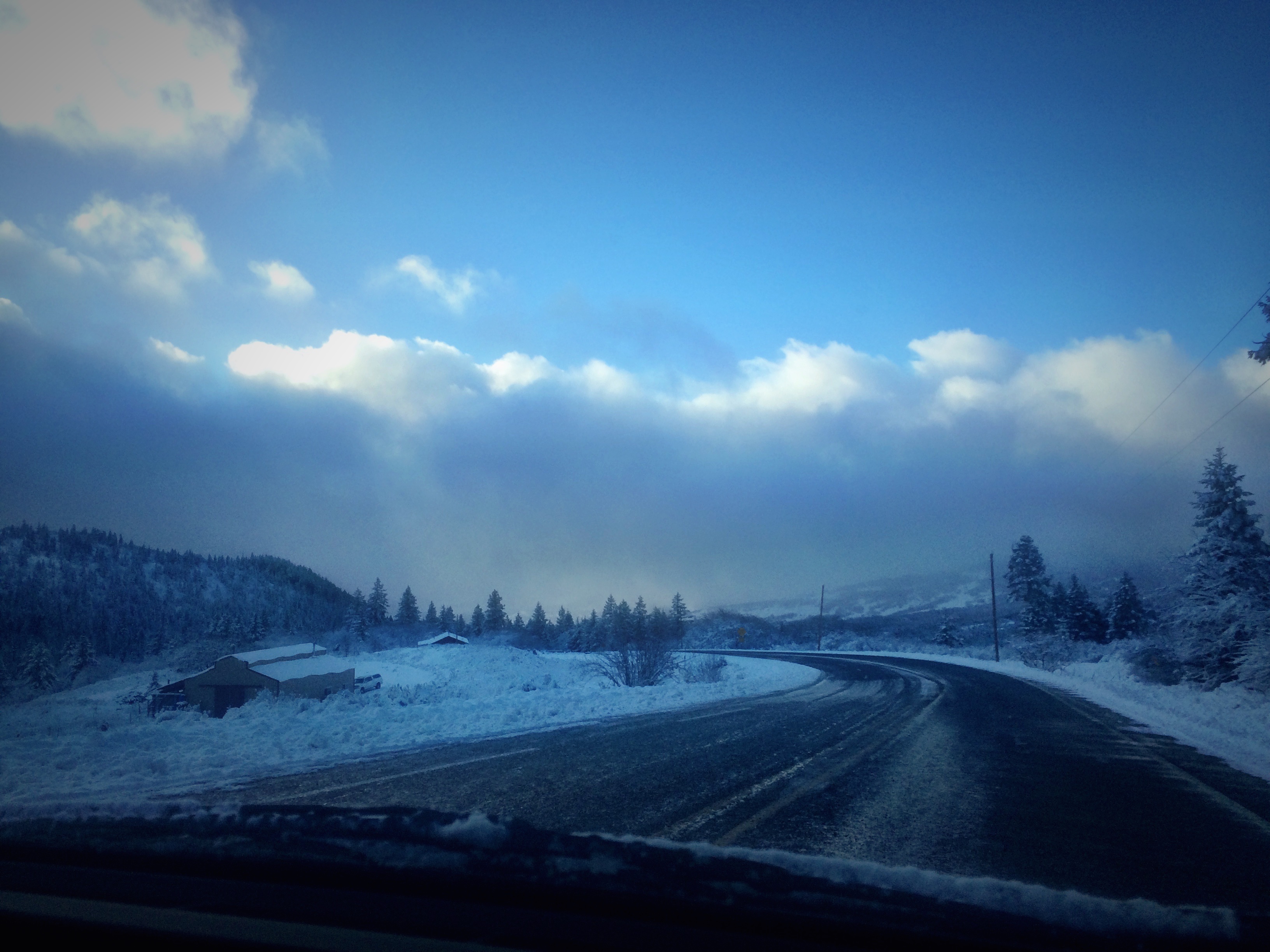
Photo Dec 25, 3 23 58 PM
Siskiyou Country = SD Country

Toward Boccard Point, Cascade-Siskiyou National Monument
2012-05-28%2011.03.33
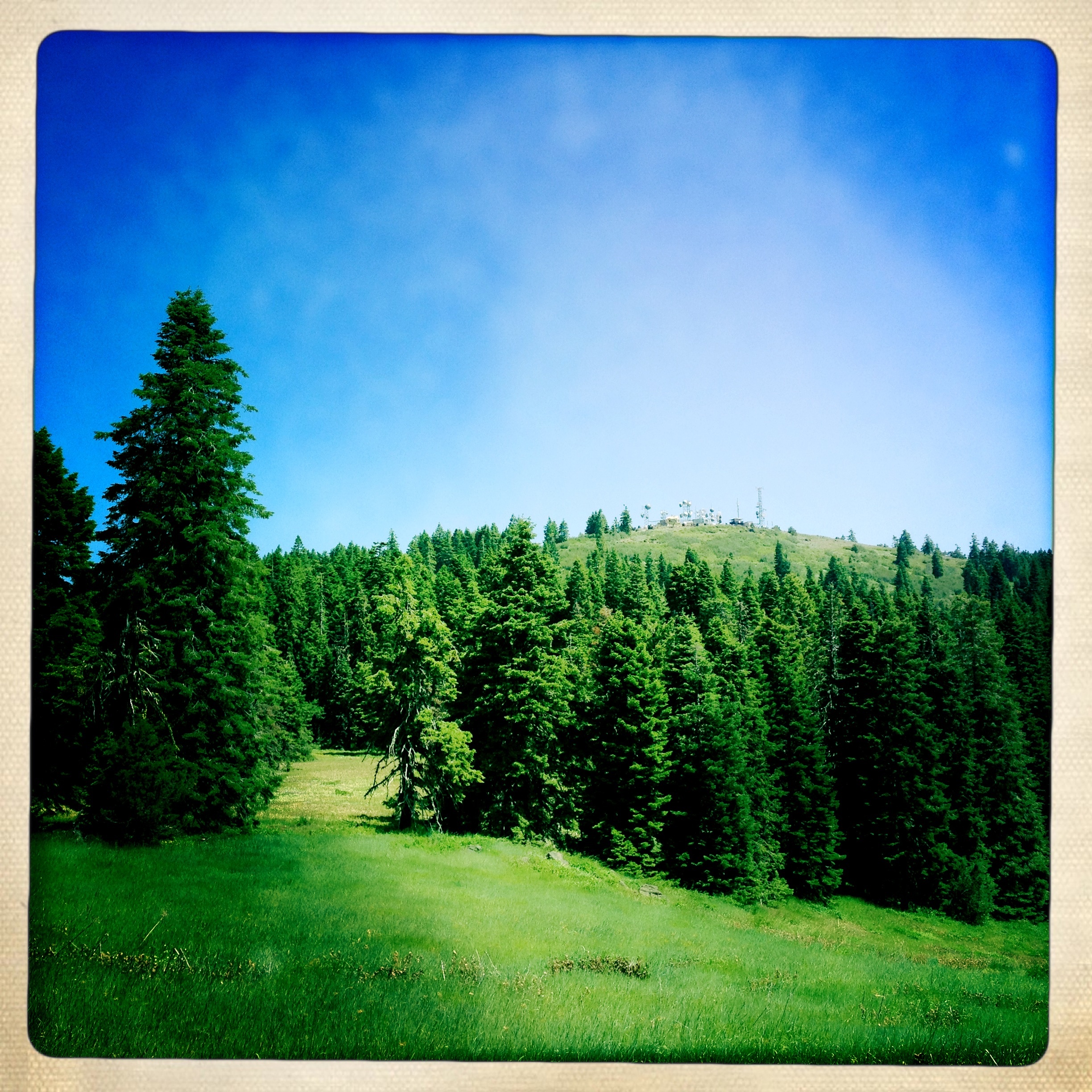
Cascade-Siskiyou National Monument
Cascade-Siskiyou National Monument

Scramble West Young Man
Topographic Map of Hornbrook, CA, USA
Find elevation by address:

Places near Hornbrook, CA, USA:
5140 Dandy Ln
Dandy Lane
3625 Whitefish Pl
Lake Road
Red Bird Street
Hornbrook
Ager Beswick Rd, Montague, CA, USA
15580 Oregon Rd
Main St, Hornbrook, CA, USA
51 Main St
Klamath River Hwy, Yreka, CA, USA
Hilt
Kuck Rd, Montague, CA, USA
11800 Old Hwy 99 S
1909 Colestin Rd
Siskiyou Summit
2245 Colestin Rd
Lichens Rd, Montague, CA, USA
129 Steinman Dr
12385 Or-66
Recent Searches:
- Elevation of Brooks Lp, Spearfish, SD, USA
- Elevation of Panther Dr, Maggie Valley, NC, USA
- Elevation of Jais St - Wadi Shehah - Ras al Khaimah - United Arab Emirates
- Elevation of Shawnee Avenue, Shawnee Ave, Easton, PA, USA
- Elevation of Scenic Shore Dr, Kingwood Area, TX, USA
- Elevation of W Prive Cir, Delray Beach, FL, USA
- Elevation of S Layton Cir W, Layton, UT, USA
- Elevation of F36W+3M, Mussoorie, Uttarakhand, India
- Elevation of Fairland Ave, Fairhope, AL, USA
- Elevation of Sunset Dr, Richmond, VA, USA