Elevation of Ore St, Montana, USA
Location: United States > Montana > Phillips County >
Longitude: -108.62190
Latitude: 47.898044
Elevation: 1221m / 4006feet
Barometric Pressure: 87KPa
Elevation Map:
Satellite Map:
Related Photos:

Nakota Warrior
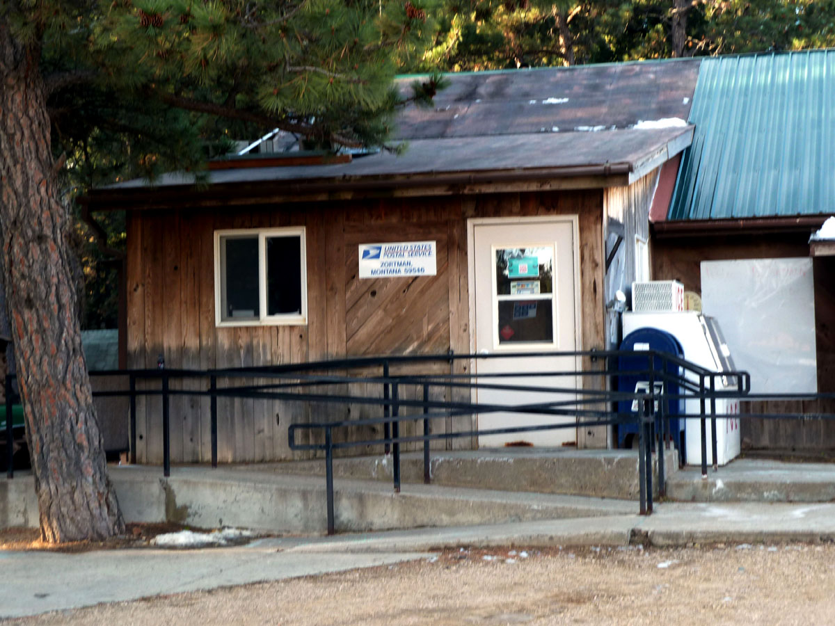
Zortman, Montana 59546
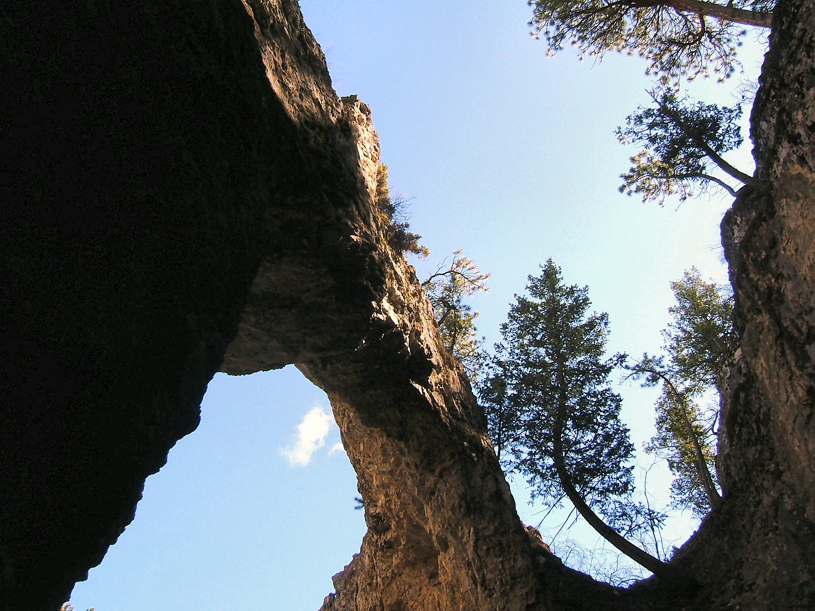
Natural Bridge Bent Tree
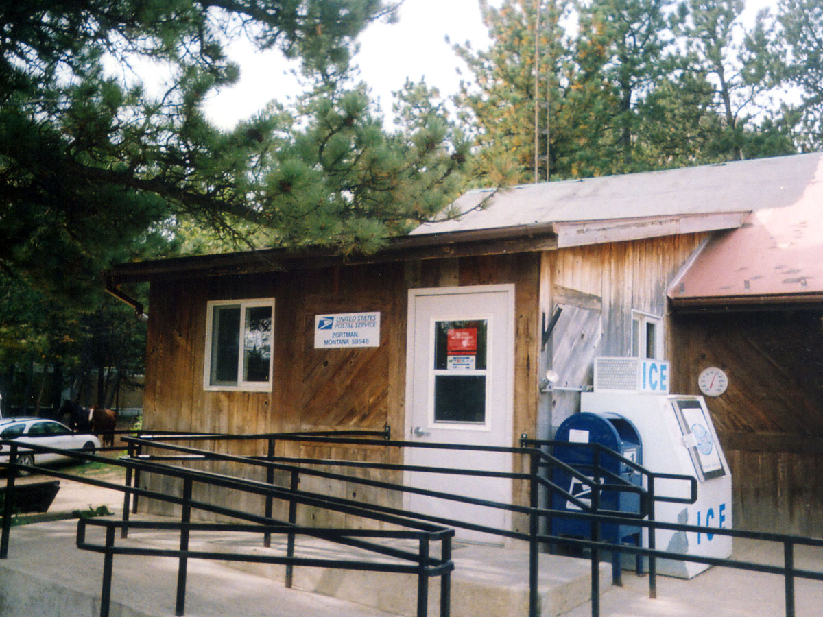
Zortman, Montana 59546
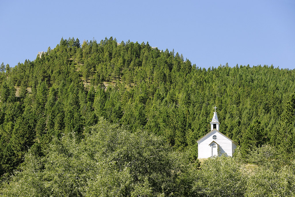
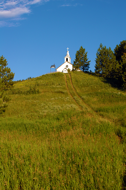
Mountain Church
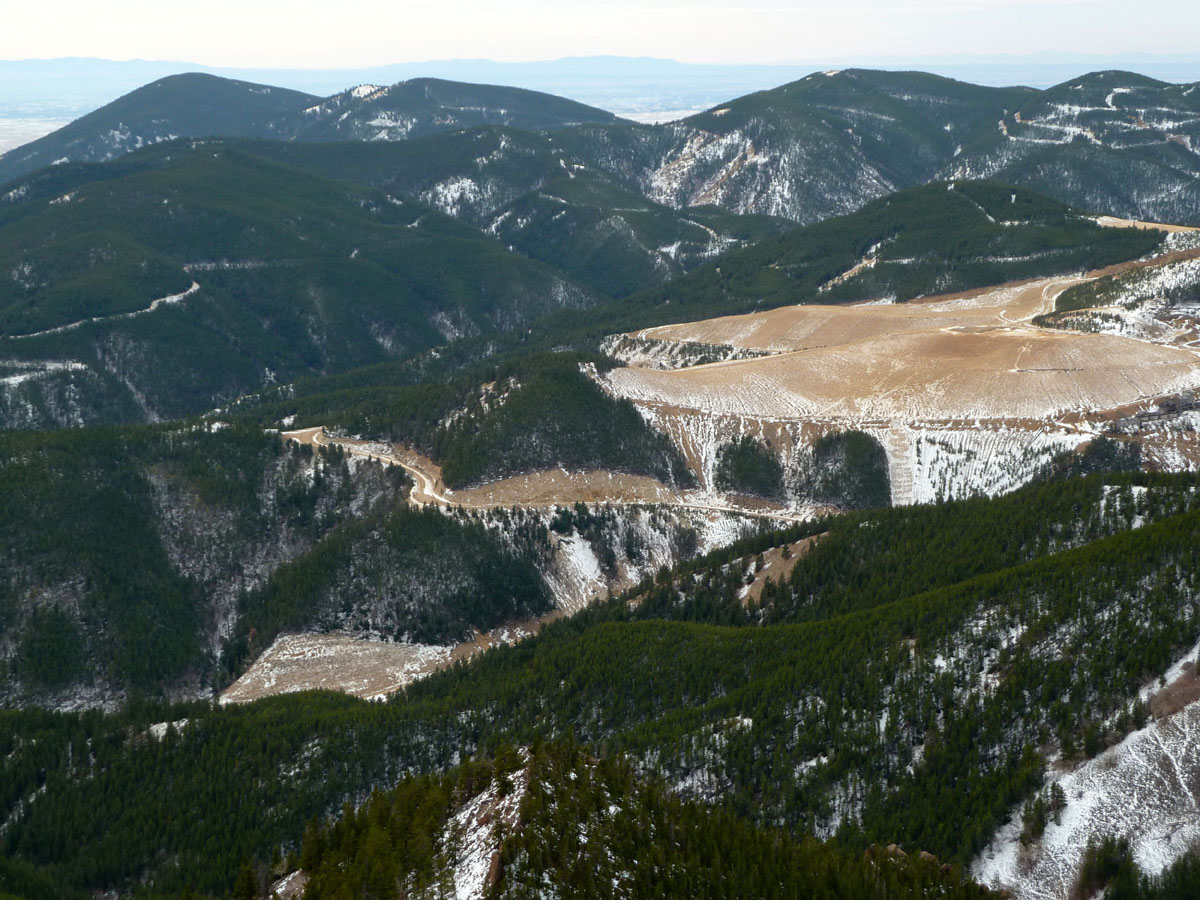
Zortman Panoramax4 3-1

Sun Dance

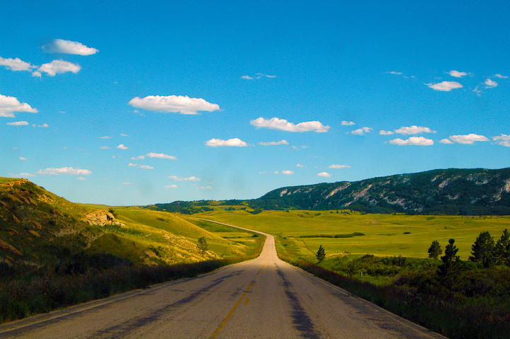
Highway to Zortman-1
Zortman 2-1
Highway to Zortman 2-1

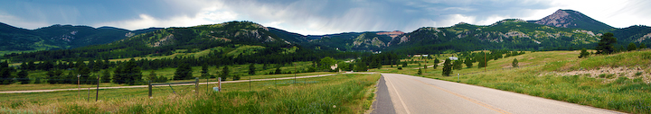
Zortman Panorama 2-1
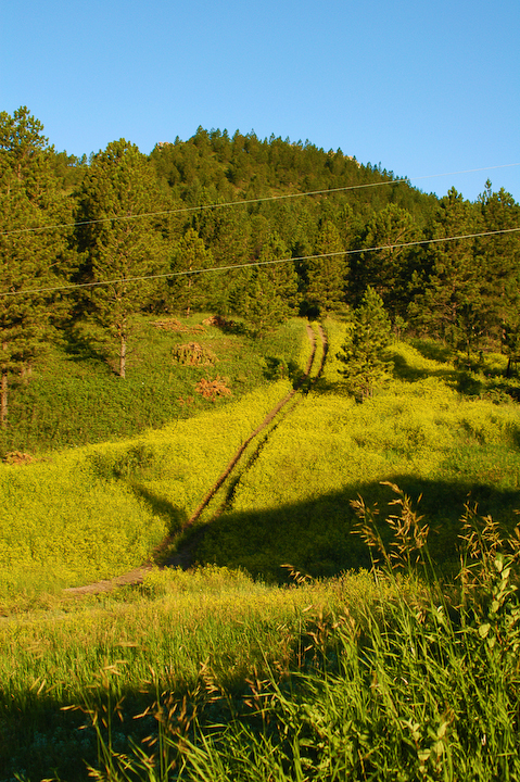
Path into Forest at Zortman 2-1
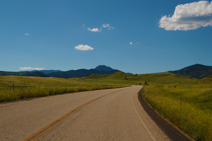
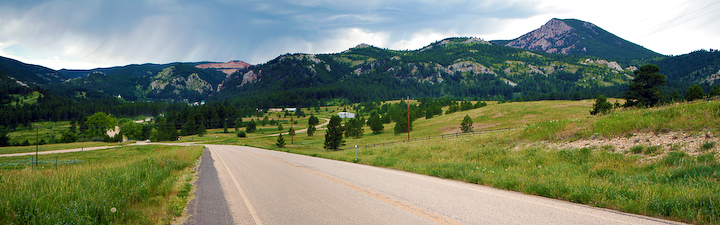
Road to Zortman-1
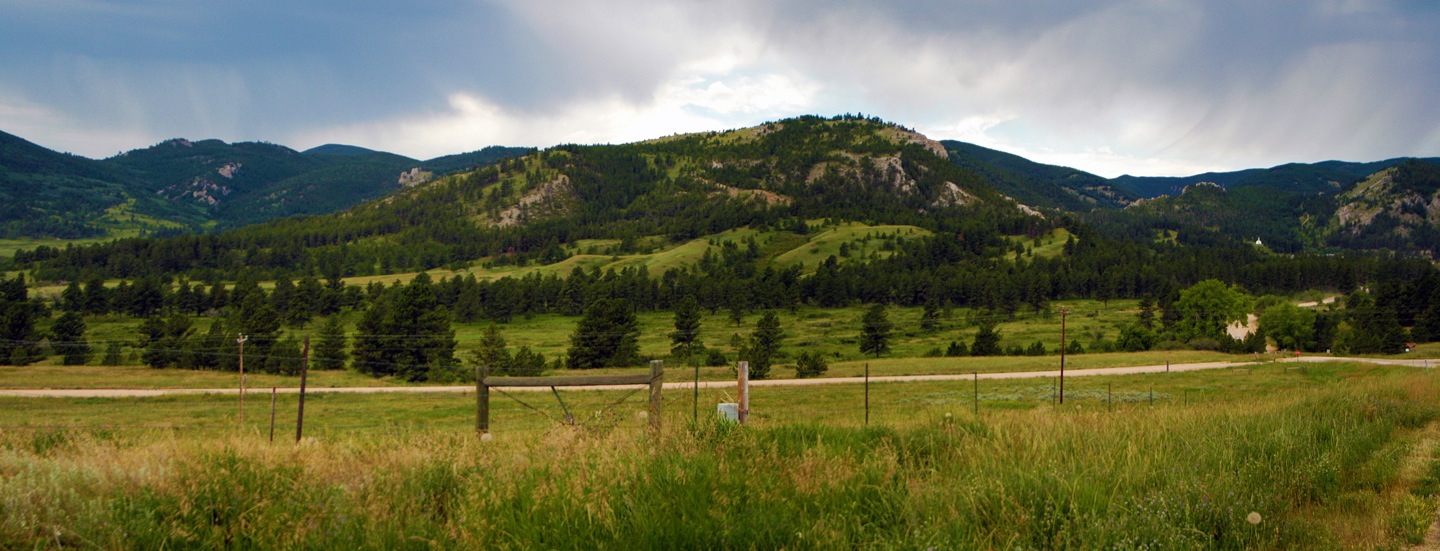
hills surrounding Zortman Montana
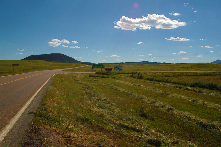
Highway Turnoff to Zortman-1
Zortman Panorama-1
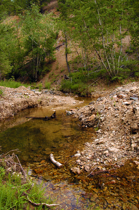
Creek above Zortman 2-1
Whitcomb, Montana
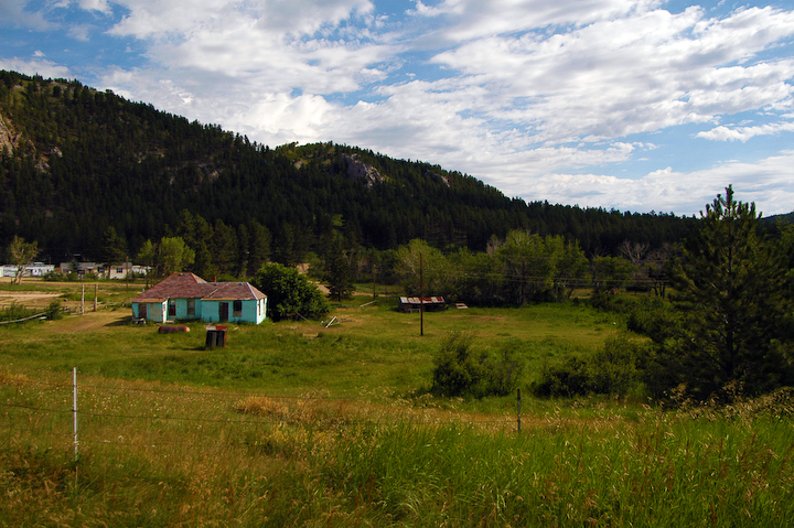
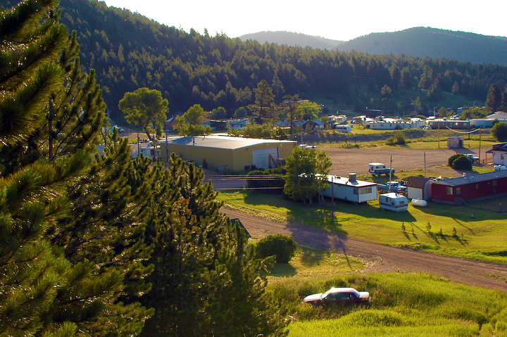
Edge of Town Zortman-1
Zortman Church 2-1
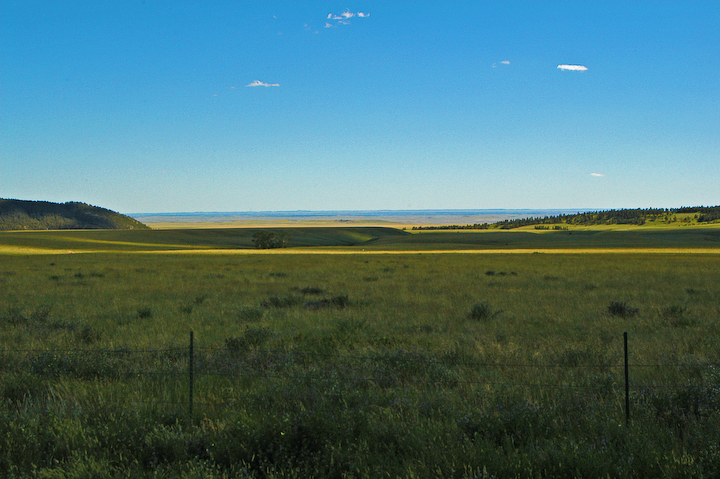
Expanse of Montana near Zortman-1

Kiowa Dancer [ Argia immunda ] male
Zortman 1-1
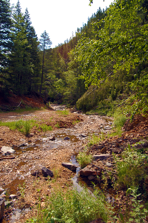
Creek above Zortman 3-1

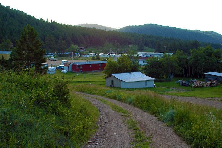
Nearing Zortman 1-1
Topographic Map of Ore St, Montana, USA
Find elevation by address:

Places near Ore St, Montana, USA:
Belcher Peak
Cleveland
Blaine County
Chinook
Turner
Warrick
Xeno Road
36th St SE, Havre, MT, USA
Saddle Butte
3233 Clear Creek Rd Se
6th St, Havre, MT, USA
8 Spruce Dr
Havre North
Havre
Frontier No. 19
Frontier
Climax
Main St, Climax, SK S0N 0N0, Canada
Woodpile Road
Woodpile Road
Recent Searches:
- Elevation of Corso Fratelli Cairoli, 35, Macerata MC, Italy
- Elevation of Tallevast Rd, Sarasota, FL, USA
- Elevation of 4th St E, Sonoma, CA, USA
- Elevation of Black Hollow Rd, Pennsdale, PA, USA
- Elevation of Oakland Ave, Williamsport, PA, USA
- Elevation of Pedrógão Grande, Portugal
- Elevation of Klee Dr, Martinsburg, WV, USA
- Elevation of Via Roma, Pieranica CR, Italy
- Elevation of Tavkvetili Mountain, Georgia
- Elevation of Hartfords Bluff Cir, Mt Pleasant, SC, USA