Elevation map of Blaine County, MT, USA
Location: United States > Montana >
Longitude: -108.9462246
Latitude: 48.6065395
Elevation: 806m / 2644feet
Barometric Pressure: 0KPa
Related Photos:
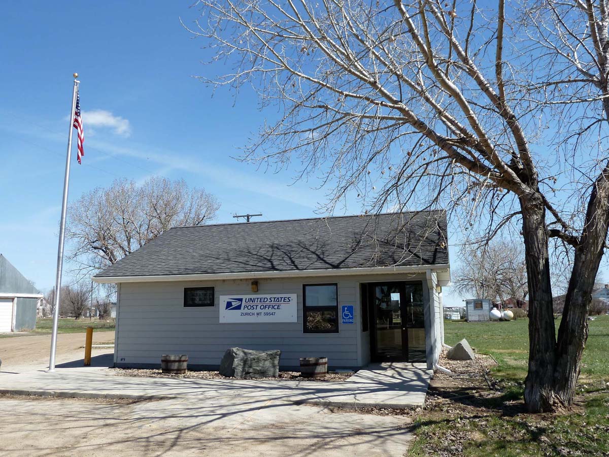
Zurich, Montana 59547
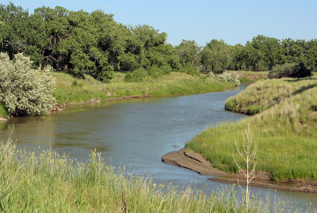
Milk River near Zurich, MT

Cowgirl Clouds

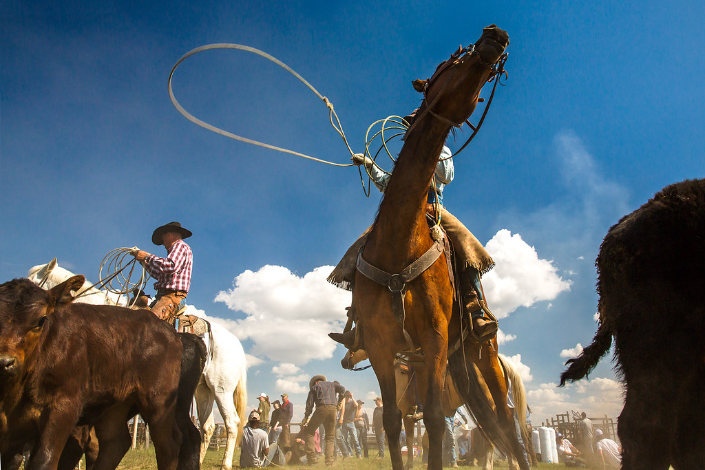
Roping in the Clouds

Dusty Draggin'
Cowboy Noir

Baby Calf
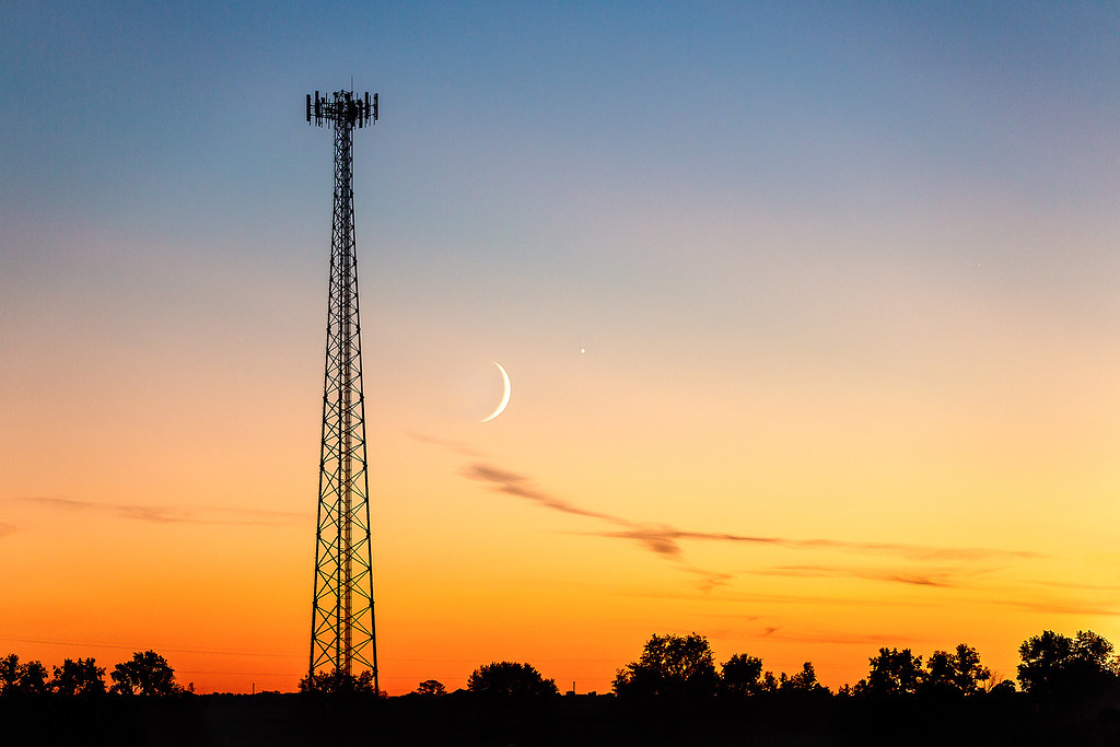
Cosmic Communications

Bull Whip

Leading the Calf Back

And the Cattle Rushed In
Topographic Map of Blaine County, MT, USA
Find elevation by address:

Places in Blaine County, MT, USA:
Places near Blaine County, MT, USA:
Chinook
Xeno Road
Cleveland
Belcher Peak
Turner
Frontier No. 19
Woodpile Road
Woodpile Road
3233 Clear Creek Rd Se
36th St SE, Havre, MT, USA
Saddle Butte
Frontier
6th St, Havre, MT, USA
Havre North
8 Spruce Dr
Havre
Ore St, Montana, USA
Climax
Main St, Climax, SK S0N 0N0, Canada
Warrick
Recent Searches:
- Elevation map of Greenland, Greenland
- Elevation of Sullivan Hill, New York, New York, 10002, USA
- Elevation of Morehead Road, Withrow Downs, Charlotte, Mecklenburg County, North Carolina, 28262, USA
- Elevation of 2800, Morehead Road, Withrow Downs, Charlotte, Mecklenburg County, North Carolina, 28262, USA
- Elevation of Yangbi Yi Autonomous County, Yunnan, China
- Elevation of Pingpo, Yangbi Yi Autonomous County, Yunnan, China
- Elevation of Mount Malong, Pingpo, Yangbi Yi Autonomous County, Yunnan, China
- Elevation map of Yongping County, Yunnan, China
- Elevation of North 8th Street, Palatka, Putnam County, Florida, 32177, USA
- Elevation of 107, Big Apple Road, East Palatka, Putnam County, Florida, 32131, USA
- Elevation of Jiezi, Chongzhou City, Sichuan, China
- Elevation of Chongzhou City, Sichuan, China
- Elevation of Huaiyuan, Chongzhou City, Sichuan, China
- Elevation of Qingxia, Chengdu, Sichuan, China
- Elevation of Corso Fratelli Cairoli, 35, Macerata MC, Italy
- Elevation of Tallevast Rd, Sarasota, FL, USA
- Elevation of 4th St E, Sonoma, CA, USA
- Elevation of Black Hollow Rd, Pennsdale, PA, USA
- Elevation of Oakland Ave, Williamsport, PA, USA
- Elevation of Pedrógão Grande, Portugal