Elevation of Onemo, VA, USA
Location: United States > Virginia > Mathews County > Chesapeake >
Longitude: -76.272718
Latitude: 37.3956915
Elevation: 1m / 3feet
Barometric Pressure: 101KPa
Elevation Map:
Satellite Map:
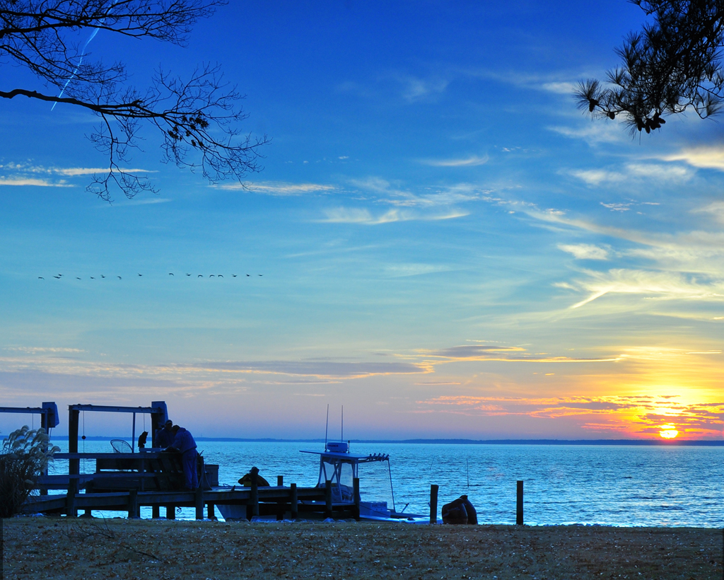
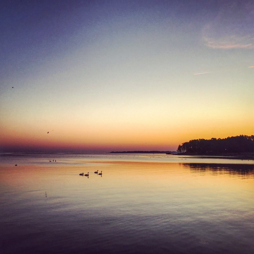
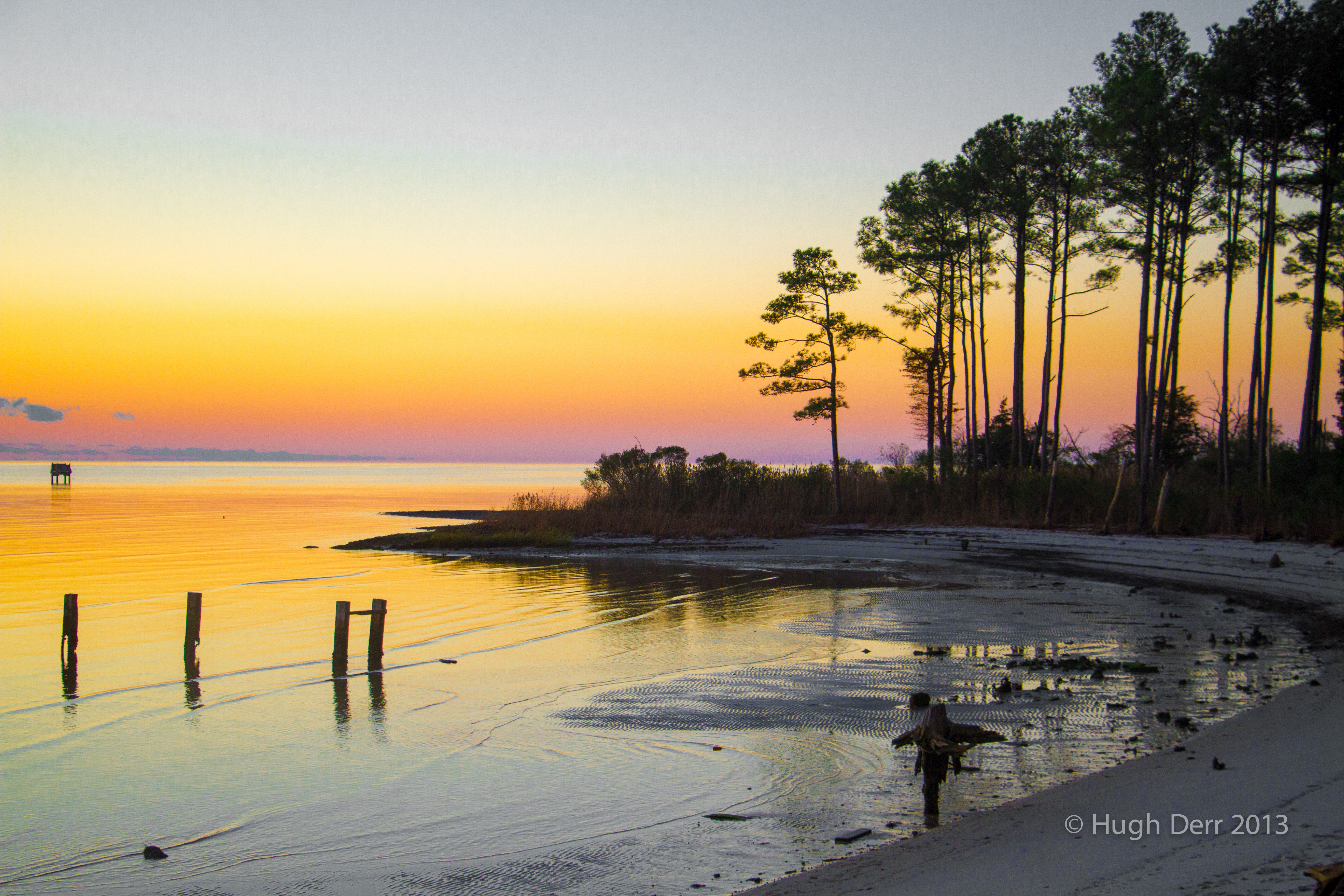
Related Photos:

New Point Comfort Nature Preserve
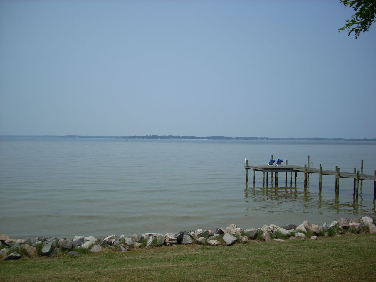
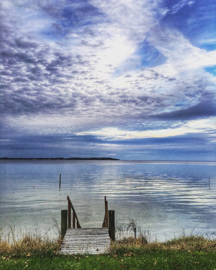
nice view

New Point Comfort Lighthouse-Mathews Co Va (2)

getting the view
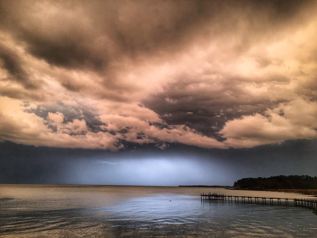
Storm over Chesapeake Bay from Godfrey Bay, Mathews County Virginia 5:58 p.m. 2/25/17

new point comfort 15
Stormy: Godfrey Bay, Mathews County Virginia. 8:45 p.m. 7/8/16
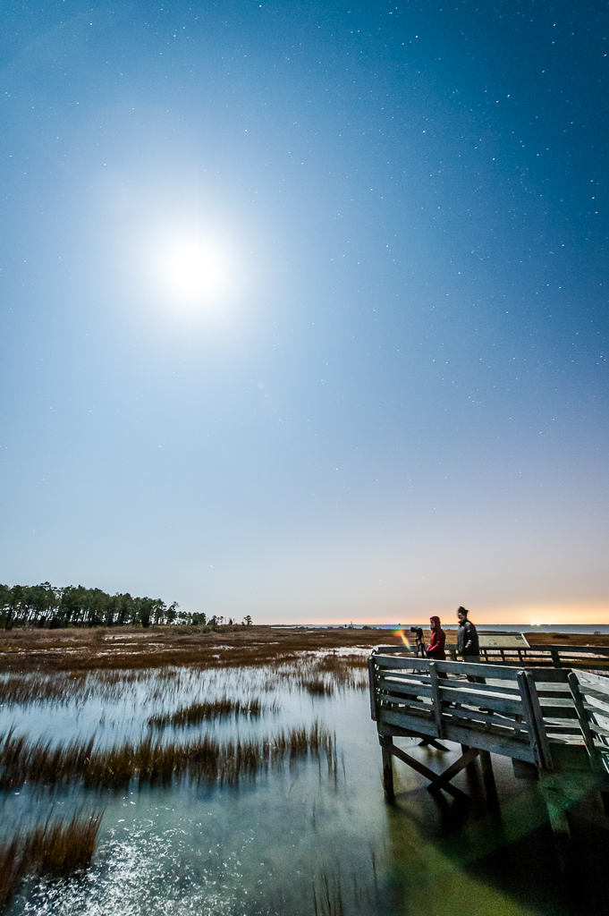
Night Photography at New Point Comfort
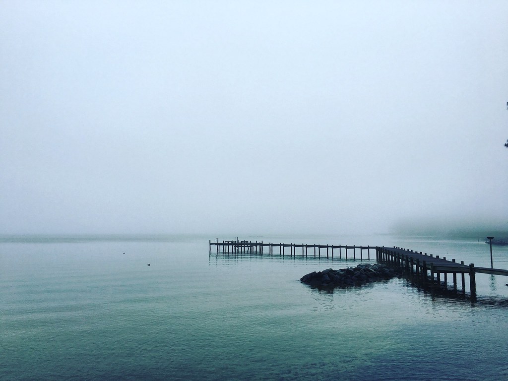
Piering Into the Mist

This Morning. Godfrey Bay, Cobbs Creek Virginia. 5:35 a.m. 7/9/16
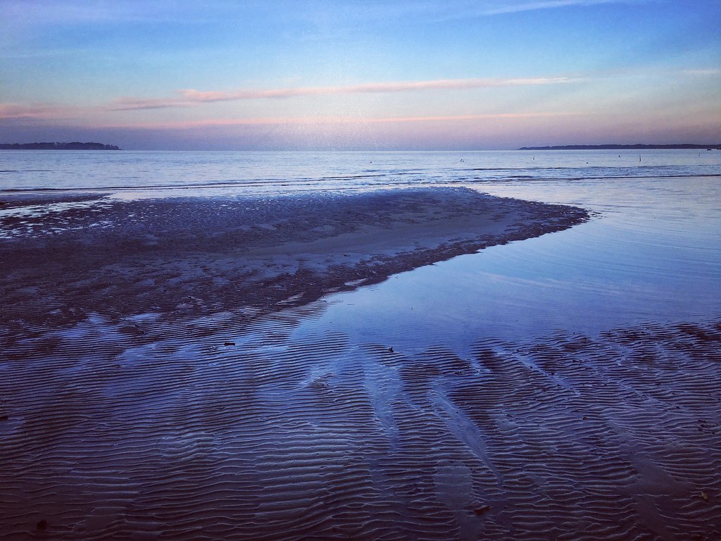
Low Tide at Hallieford Beach, Piankatank River, Mathews Virginia 4:30 p.m. 11/28/15

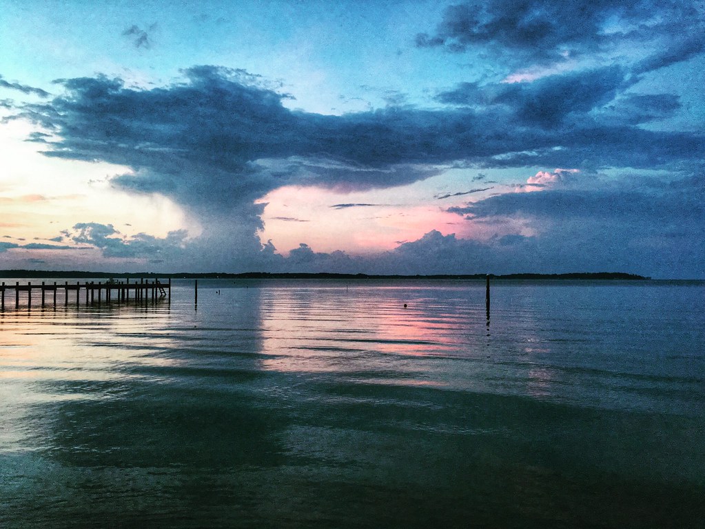
Sunset at Mobjack Bay
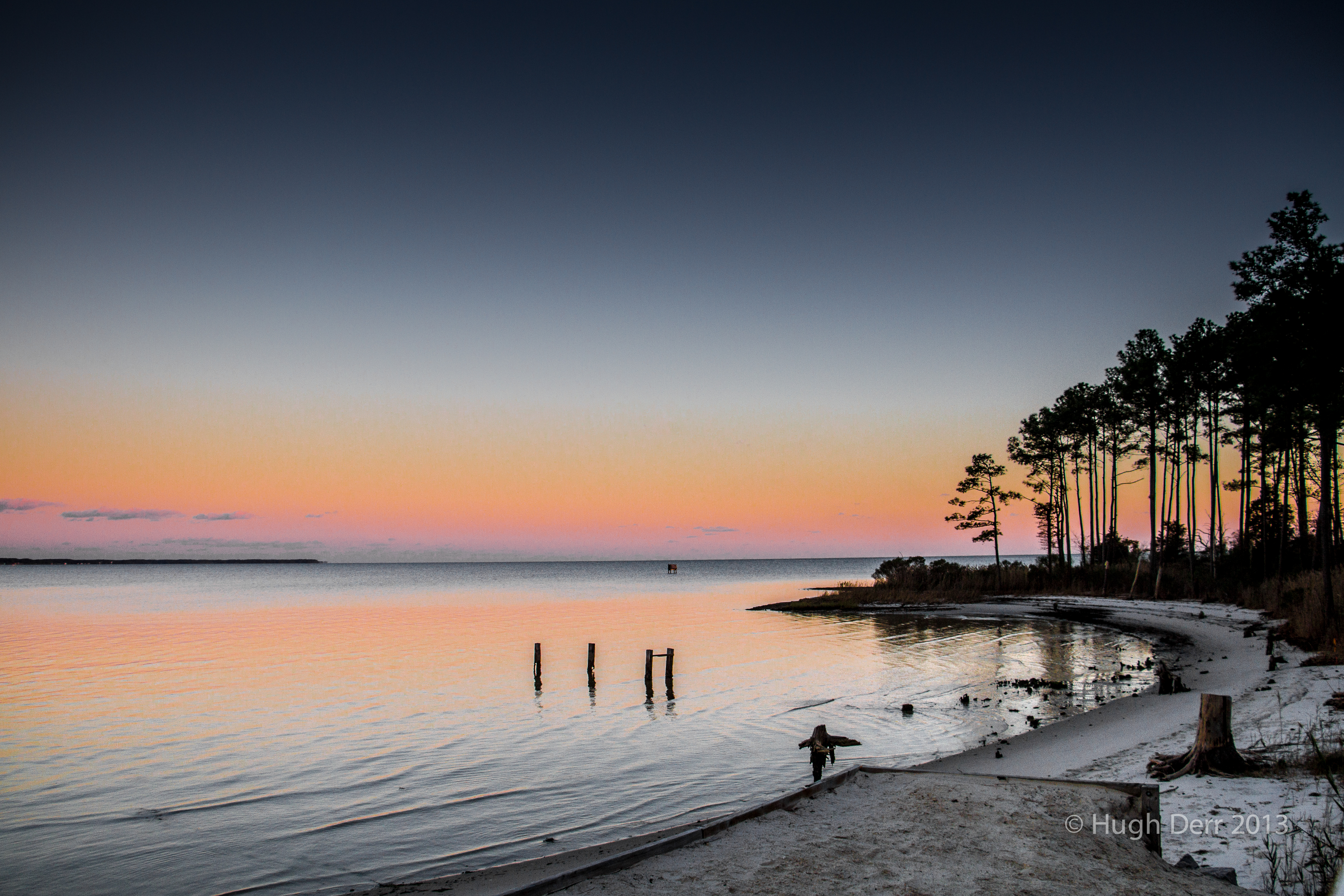
Godfrey Bay, Cobbs Creek Virginia 5:44 p.m. 2/20/16
Ware Neck 3
DSC_0113 crop2

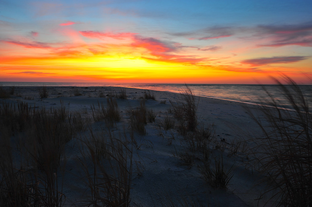
amazing colors
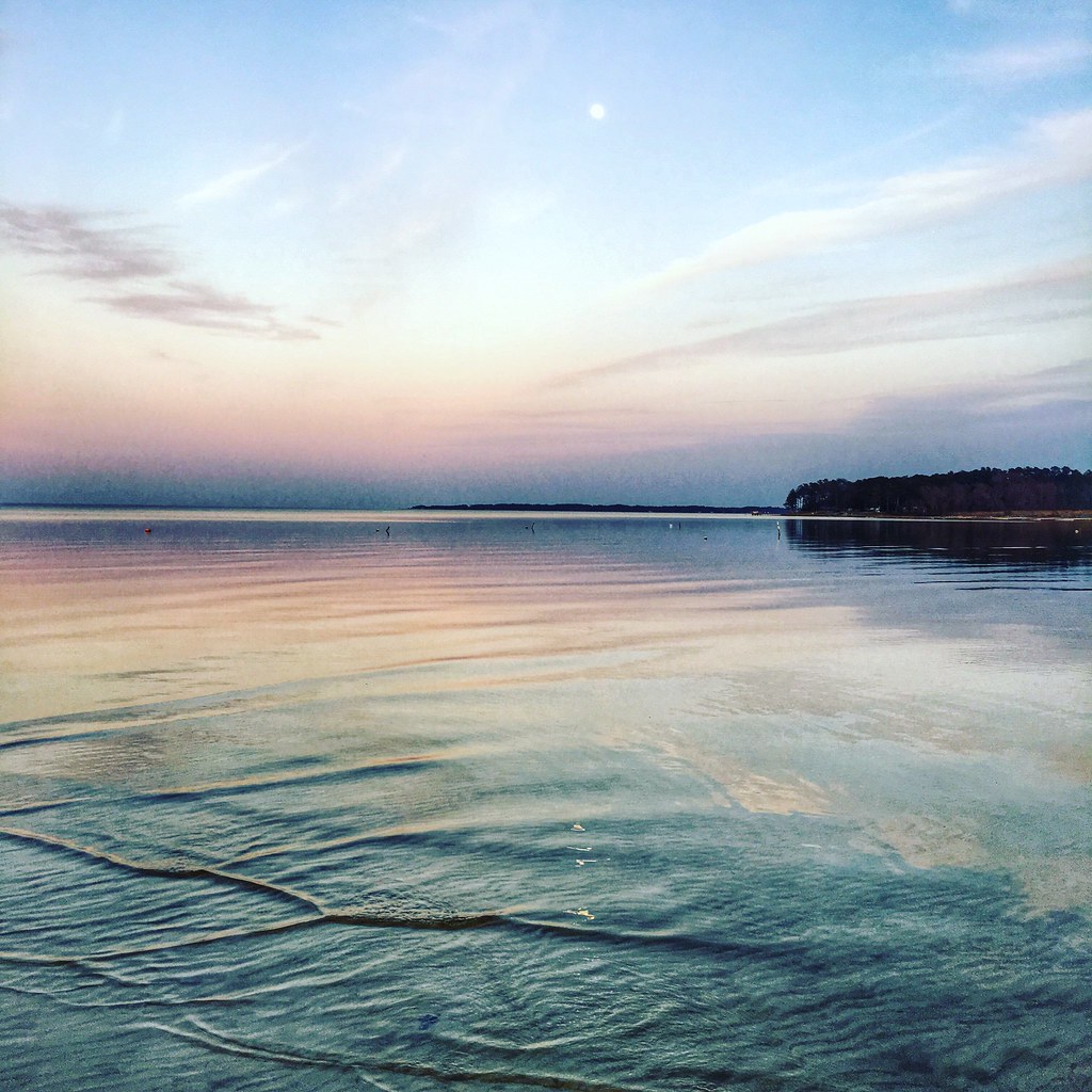
Sunday Sunrise
Ware Neck 2

none of my pleasures

Godfrey Bay at Misti Cove, Mathews County Virginia 6:53 a.m. 11/28/15
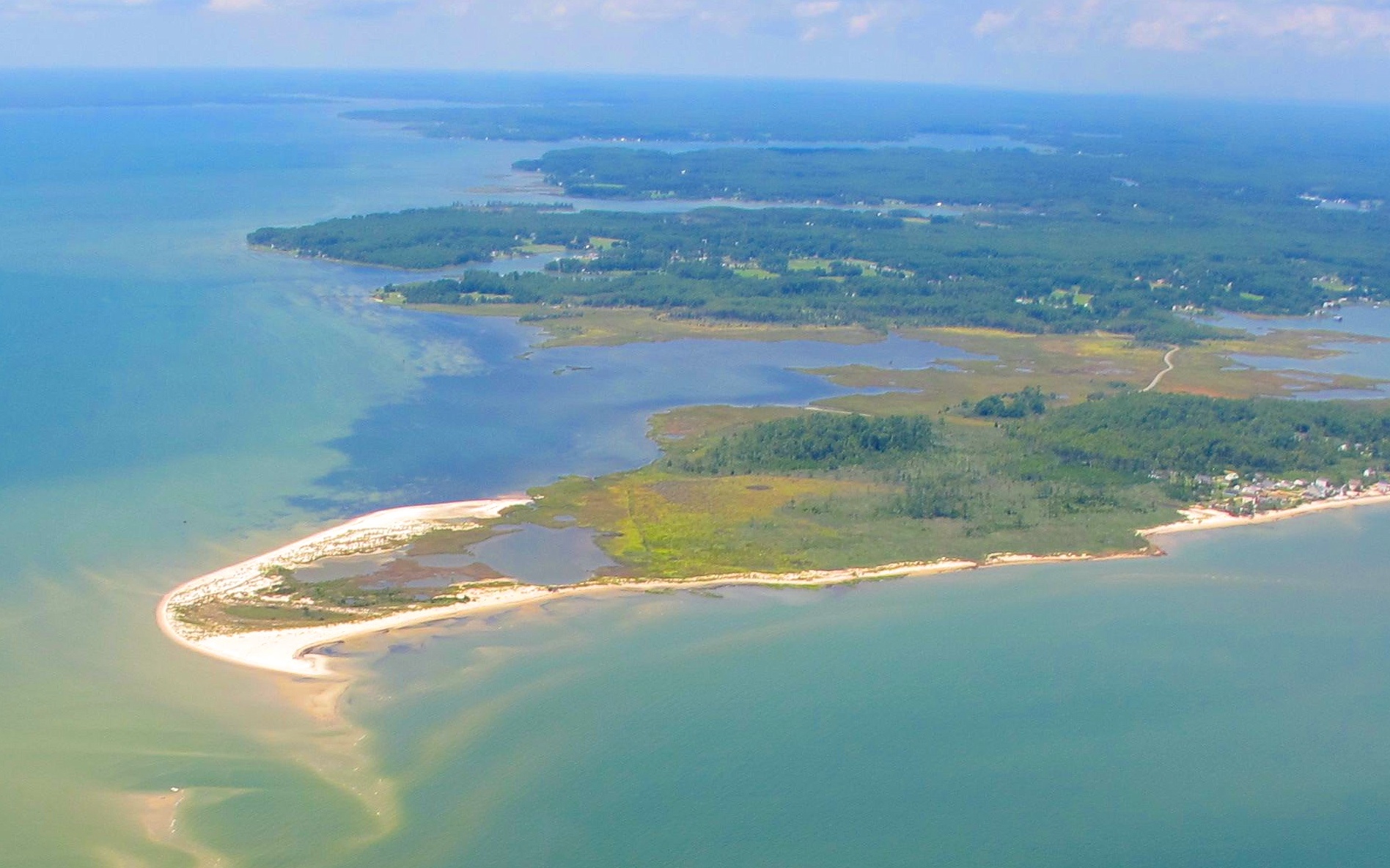
New Point Comfort
Sunrise at New Comfort Point
Godfrey Bay at the Chesapeake Bay, Cobbs Creek, Virginia 5:51 p.m. 10/31/15
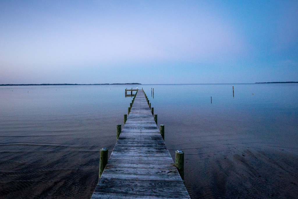
Piankatank Pier
Topographic Map of Onemo, VA, USA
Find elevation by address:

Places near Onemo, VA, USA:
1751 Bethel Beach Rd
Canoe Yard Trail
2391 Bethel Beach Rd
Laban
1247 State Rte 611
Peary
1132 Knight Wood Rd
Diggs
Chesapeake
2185 Haven Beach Rd
White Point Ln, New Point, VA, USA
New Point Rv Resort
Bavon
560 Chesapeake Shore Rd
Cherrystone Resort Store
110 T-1107
110 Harbor St
Cape Charles Medical Center: Clarke Mark G Md
11 Park Row
Cape Charles
Recent Searches:
- Elevation of Kambingan Sa Pansol Atbp., Purok 7 Pansol, Candaba, Pampanga, Philippines
- Elevation of Pinewood Dr, New Bern, NC, USA
- Elevation of Mountain View, CA, USA
- Elevation of Foligno, Province of Perugia, Italy
- Elevation of Blauwestad, Netherlands
- Elevation of Bella Terra Blvd, Estero, FL, USA
- Elevation of Estates Loop, Priest River, ID, USA
- Elevation of Woodland Oak Pl, Thousand Oaks, CA, USA
- Elevation of Brownsdale Rd, Renfrew, PA, USA
- Elevation of Corcoran Ln, Suffolk, VA, USA