Elevation of ON-41, Denbigh, ON K0H 1L0, Canada
Location: Canada > Ontario > Lennox And Addington County > Addington Highlands > Denbigh >
Longitude: -77.247412
Latitude: 45.0952447
Elevation: 398m / 1306feet
Barometric Pressure: 97KPa
Elevation Map:
Satellite Map:
Related Photos:
The Melancholy Season

Beauty Madawaska

The Matawatchan Road

Hardwood Lake

Vilneffs Lake, Ontario

Madawaska Hillside

Island Camp

July 12th, 1882

The Sky's the Limit

M31 - Andromeda Galaxy

Madawaska Colour

The Madawaska River from the Matawatchan Road

Weslemkoon Dawn

Along Madawaska River

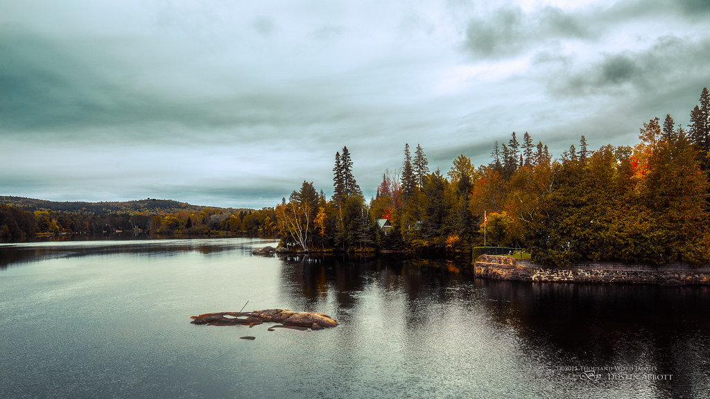
Autumn Reflections

Autumn along the Matawatchen Road

Madawaska River

Going Down the Road

Calm Weslemkoon

Dead Pines
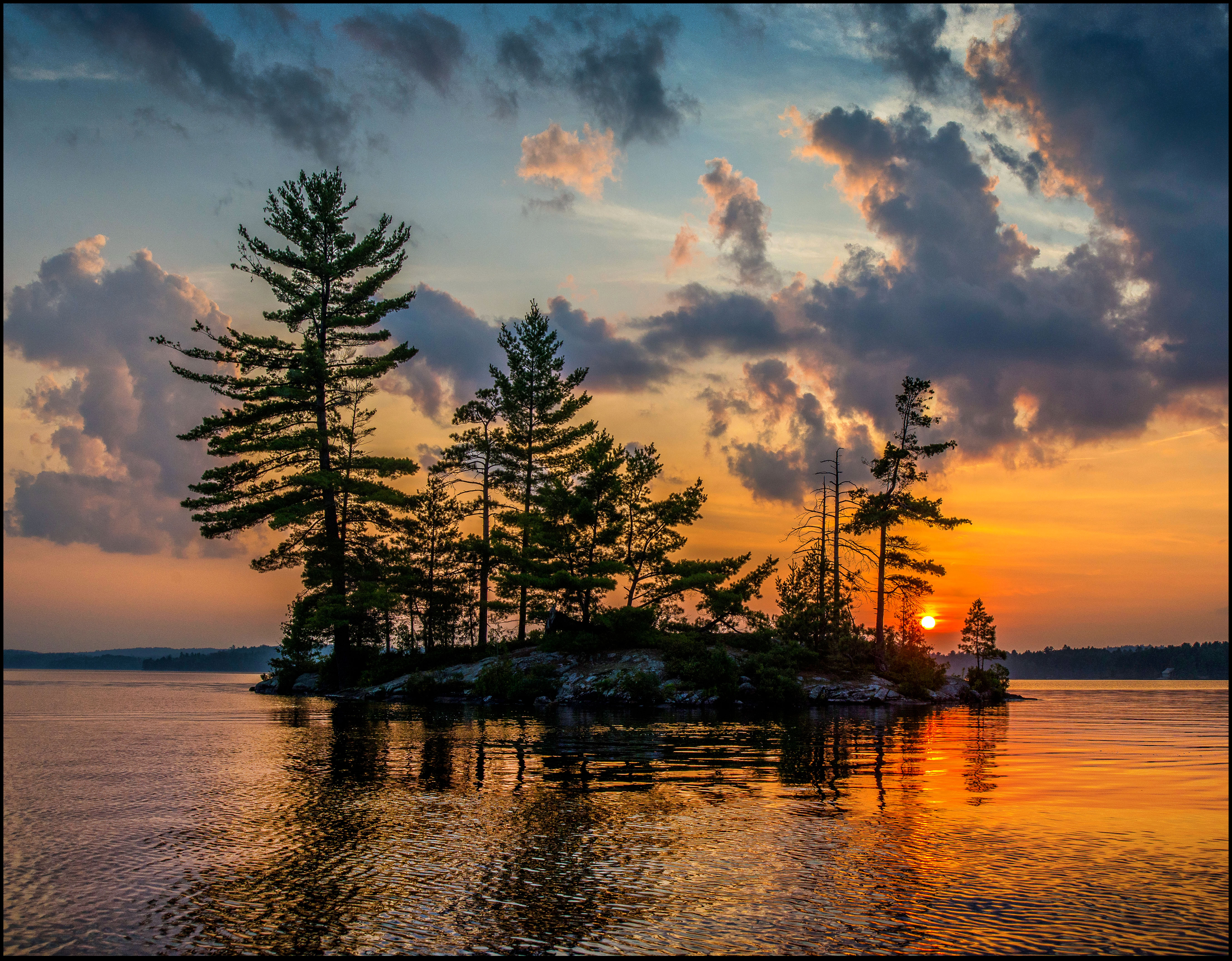
Weslemkoon Island Sunset

Weslemkoon Sunset

Distant Storm
Topographic Map of ON-41, Denbigh, ON K0H 1L0, Canada
Find elevation by address:

Places near ON-41, Denbigh, ON K0H 1L0, Canada:
364 Chatson Dr
45 Central St
Denbigh
31 Central St
46 Ackroyd Ln
24927 Hwy 41
Matawatchan
Griffith
Unnamed Road
4605 Centennial Lake Rd
Mountain Rd, Plevna, ON K0H 2M0, Canada
561 Rosien Rd
Yukes Drive
Foymount
1187 Wittke Rd
Bonnechere Valley
Cormac
239 Brewley Trail
239 Brewley Trail
Norcan Lake
Recent Searches:
- Elevation of Royal Ontario Museum, Queens Park, Toronto, ON M5S 2C6, Canada
- Elevation of Groblershoop, South Africa
- Elevation of Power Generation Enterprises | Industrial Diesel Generators, Oak Ave, Canyon Country, CA, USA
- Elevation of Chesaw Rd, Oroville, WA, USA
- Elevation of N, Mt Pleasant, UT, USA
- Elevation of 6 Rue Jules Ferry, Beausoleil, France
- Elevation of Sattva Horizon, 4JC6+G9P, Vinayak Nagar, Kattigenahalli, Bengaluru, Karnataka, India
- Elevation of Great Brook Sports, Gold Star Hwy, Groton, CT, USA
- Elevation of 10 Mountain Laurels Dr, Nashua, NH, USA
- Elevation of 16 Gilboa Ln, Nashua, NH, USA