Elevation of Rosien Rd, Eganville, ON K0J 1T0, Canada
Location: Canada > Ontario > Renfrew County > Bonnechere Valley > Eganville >
Longitude: -77.230657
Latitude: 45.3994487
Elevation: 454m / 1489feet
Barometric Pressure: 96KPa
Elevation Map:
Satellite Map:
Related Photos:
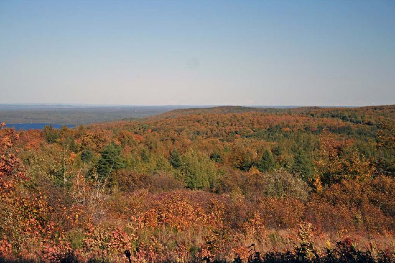
View from Foymount, Ontario
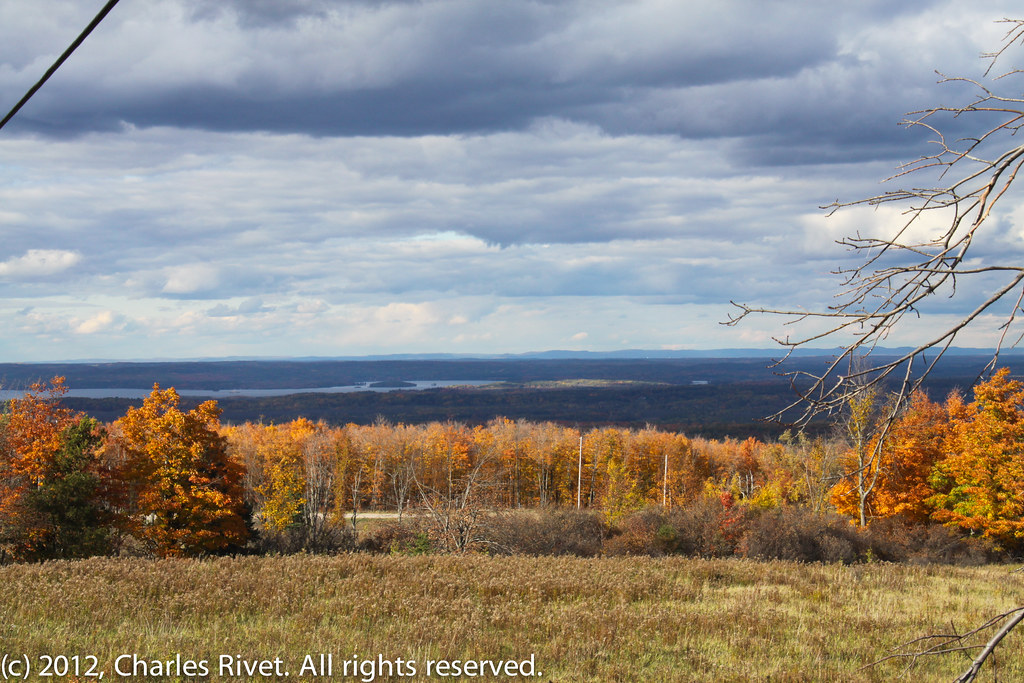
Valley view from Foymount
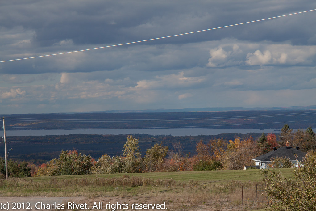
View from Foymount
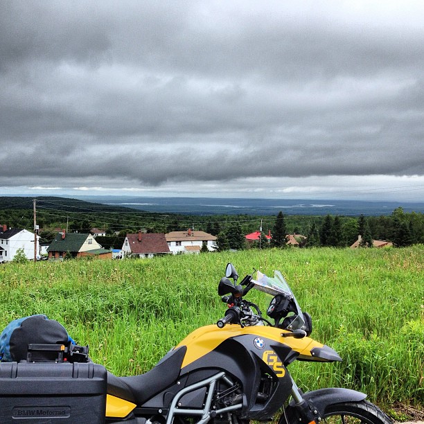
The view from Foymount. Highway 66 is a MINDBLOWER. #ontariomotoroads @ontarioshighlands
Opeongo Landscape

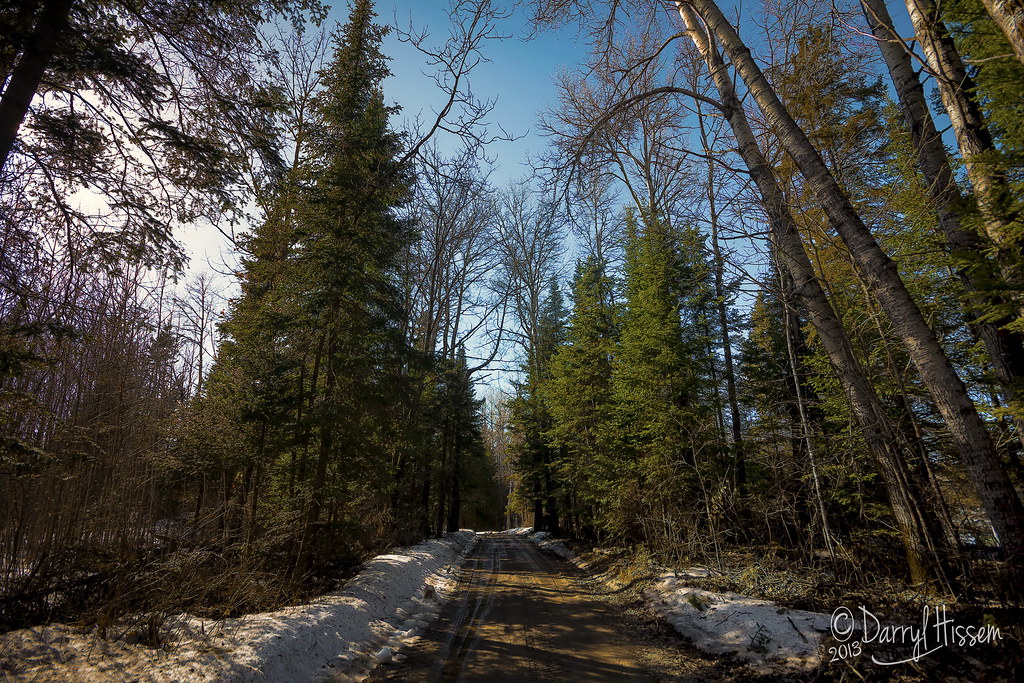
Many paths to choose from: January 17
_MG_7299.jpg
Spring Snow
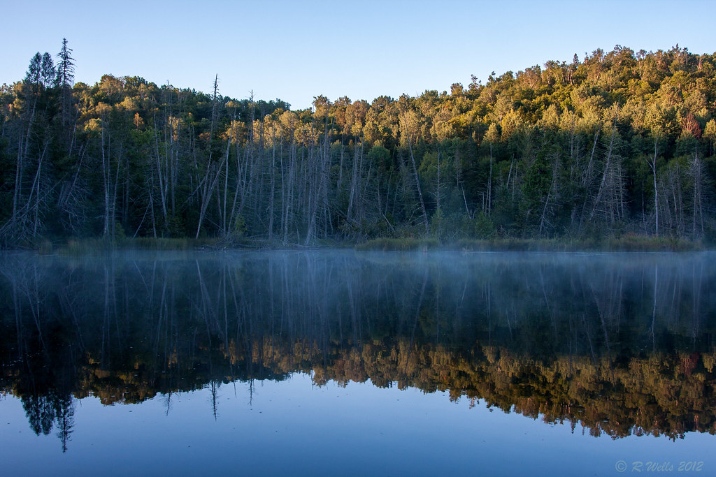
Opeongo Reflection
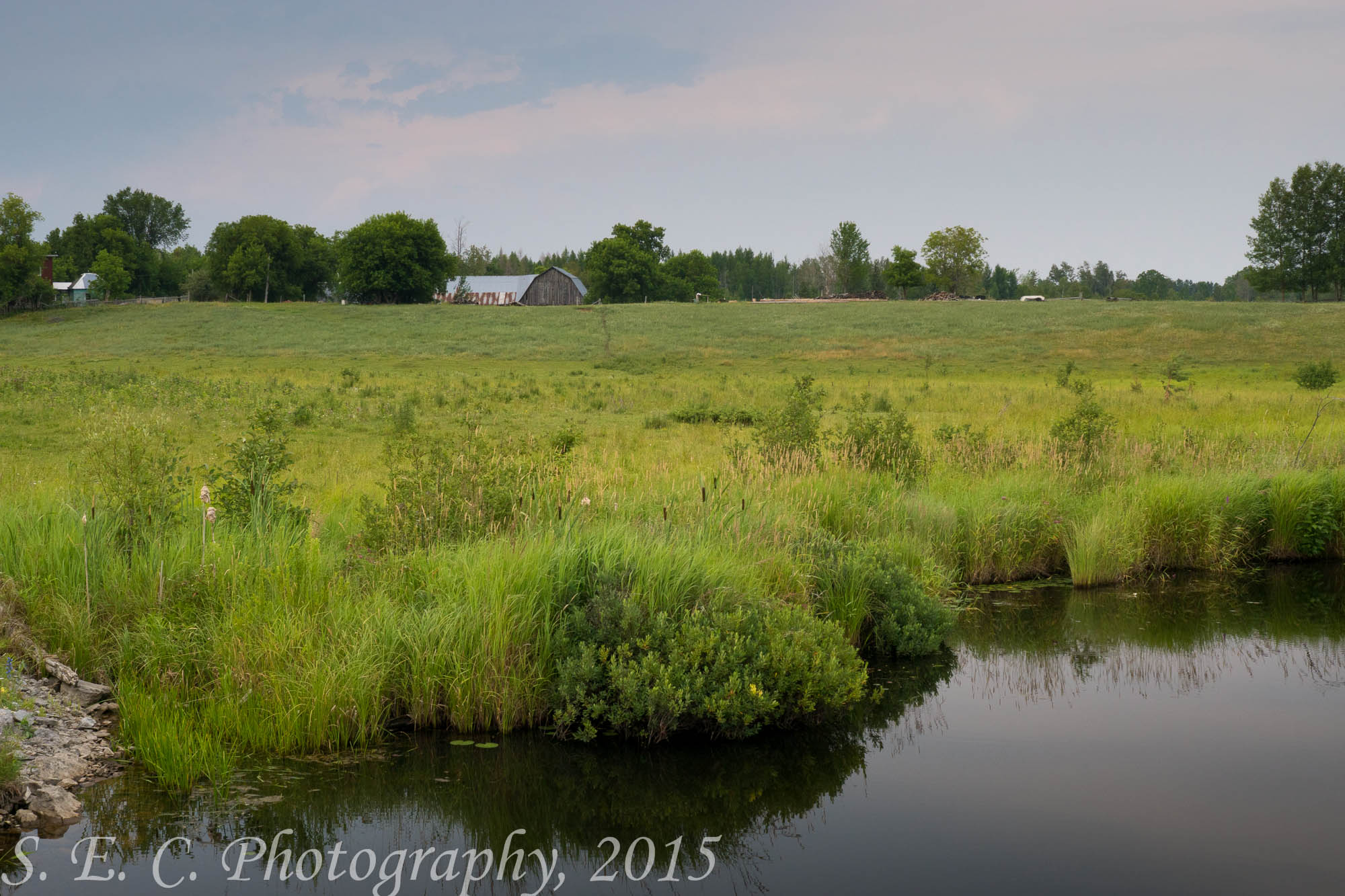
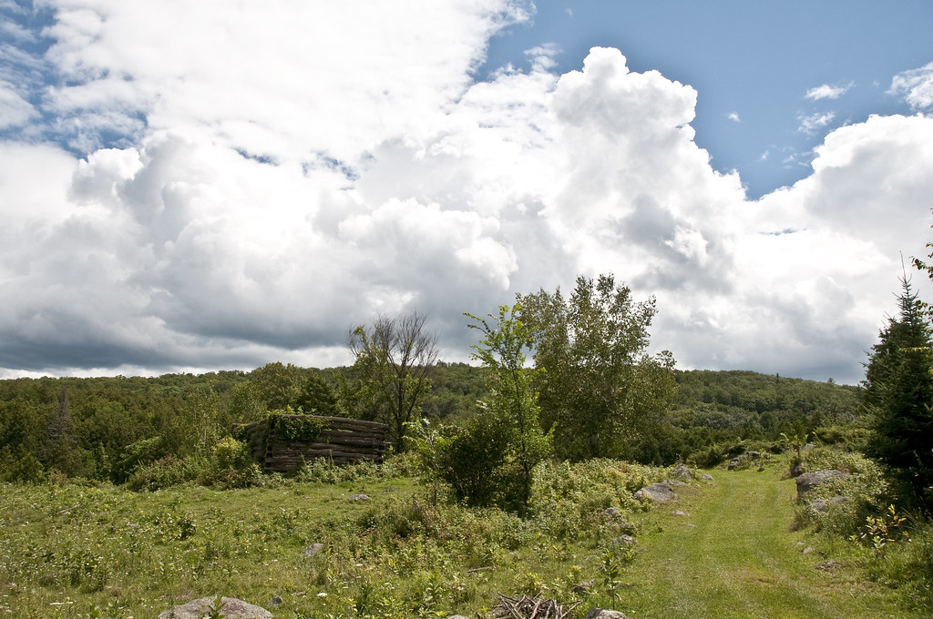
Opeongo Barn
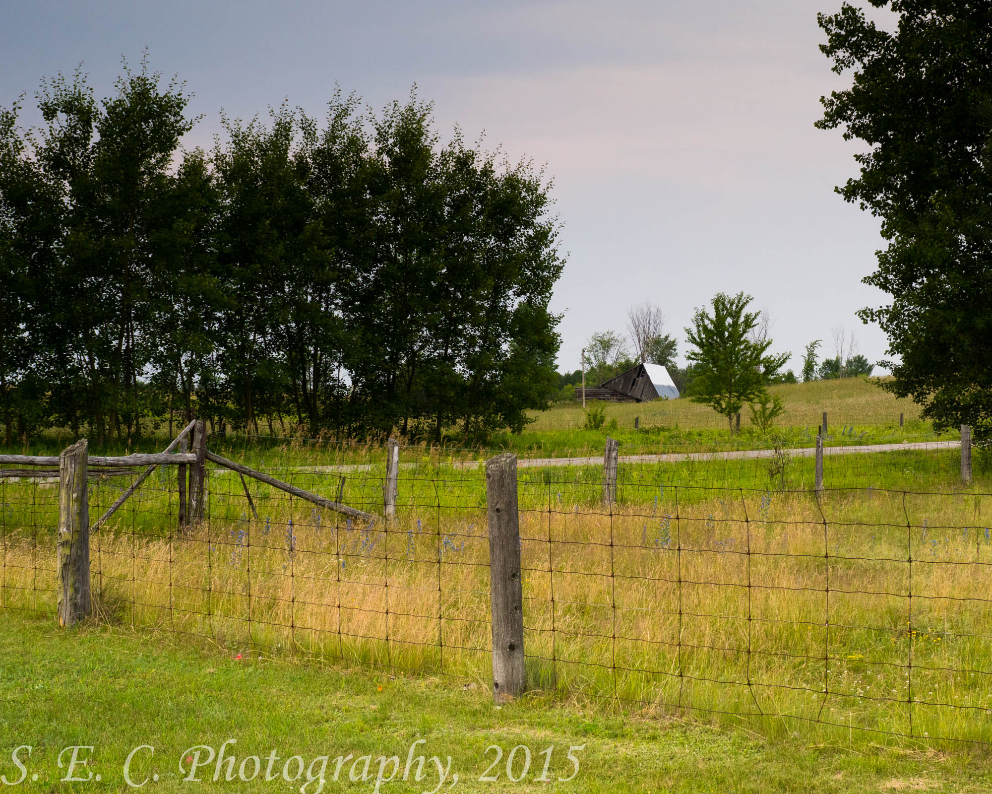
Newfoundout-Old Road & Barn
Newfoundout-Split-Rail Fence
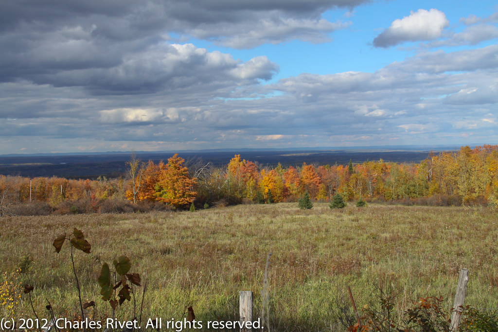
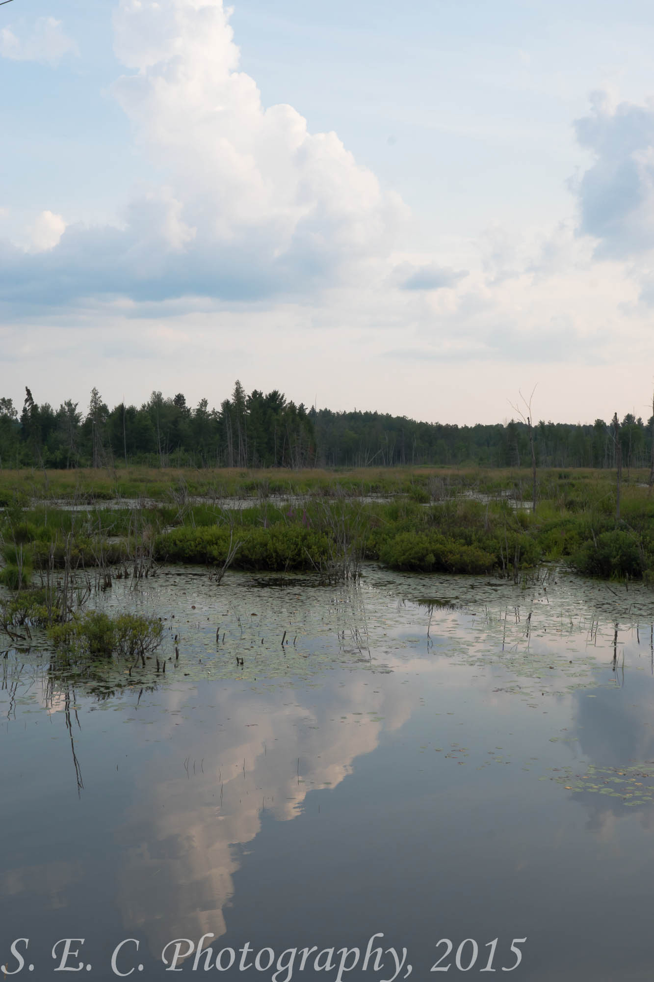
Fall Valley
Topographic Map of Rosien Rd, Eganville, ON K0J 1T0, Canada
Find elevation by address:

Places near Rosien Rd, Eganville, ON K0J 1T0, Canada:
Bonnechere Valley
239 Brewley Trail
239 Brewley Trail
1187 Wittke Rd
Foymount
Cormac
Yukes Drive
Unnamed Road
787 Silver Lake Rd
K0j 1t0
Wolfe Road
331 Boldt Rd
Zadow Road
1835 Wolfe Rd
2018 Ruby Rd
Griffith
24927 Hwy 41
Golden Lake
280 Rocky Point Dr
164 Wellington St
Recent Searches:
- Elevation of Groblershoop, South Africa
- Elevation of Power Generation Enterprises | Industrial Diesel Generators, Oak Ave, Canyon Country, CA, USA
- Elevation of Chesaw Rd, Oroville, WA, USA
- Elevation of N, Mt Pleasant, UT, USA
- Elevation of 6 Rue Jules Ferry, Beausoleil, France
- Elevation of Sattva Horizon, 4JC6+G9P, Vinayak Nagar, Kattigenahalli, Bengaluru, Karnataka, India
- Elevation of Great Brook Sports, Gold Star Hwy, Groton, CT, USA
- Elevation of 10 Mountain Laurels Dr, Nashua, NH, USA
- Elevation of 16 Gilboa Ln, Nashua, NH, USA
- Elevation of Laurel Rd, Townsend, TN, USA