Elevation of Omega Township, AR, USA
Location: United States > Arkansas > Carroll County >
Longitude: -93.561026
Latitude: 36.2319662
Elevation: 458m / 1503feet
Barometric Pressure: 96KPa
Elevation Map:
Satellite Map:
Related Photos:

IMG_9227
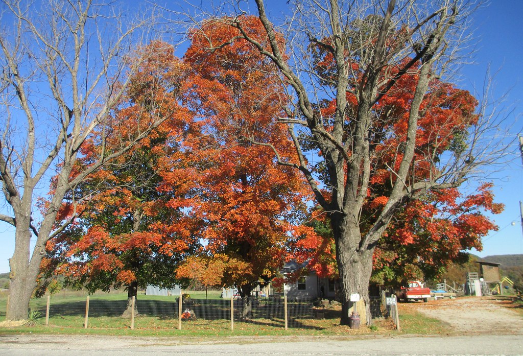
Northwestern Arkansas Landscape (Carroll County, Arkansas)
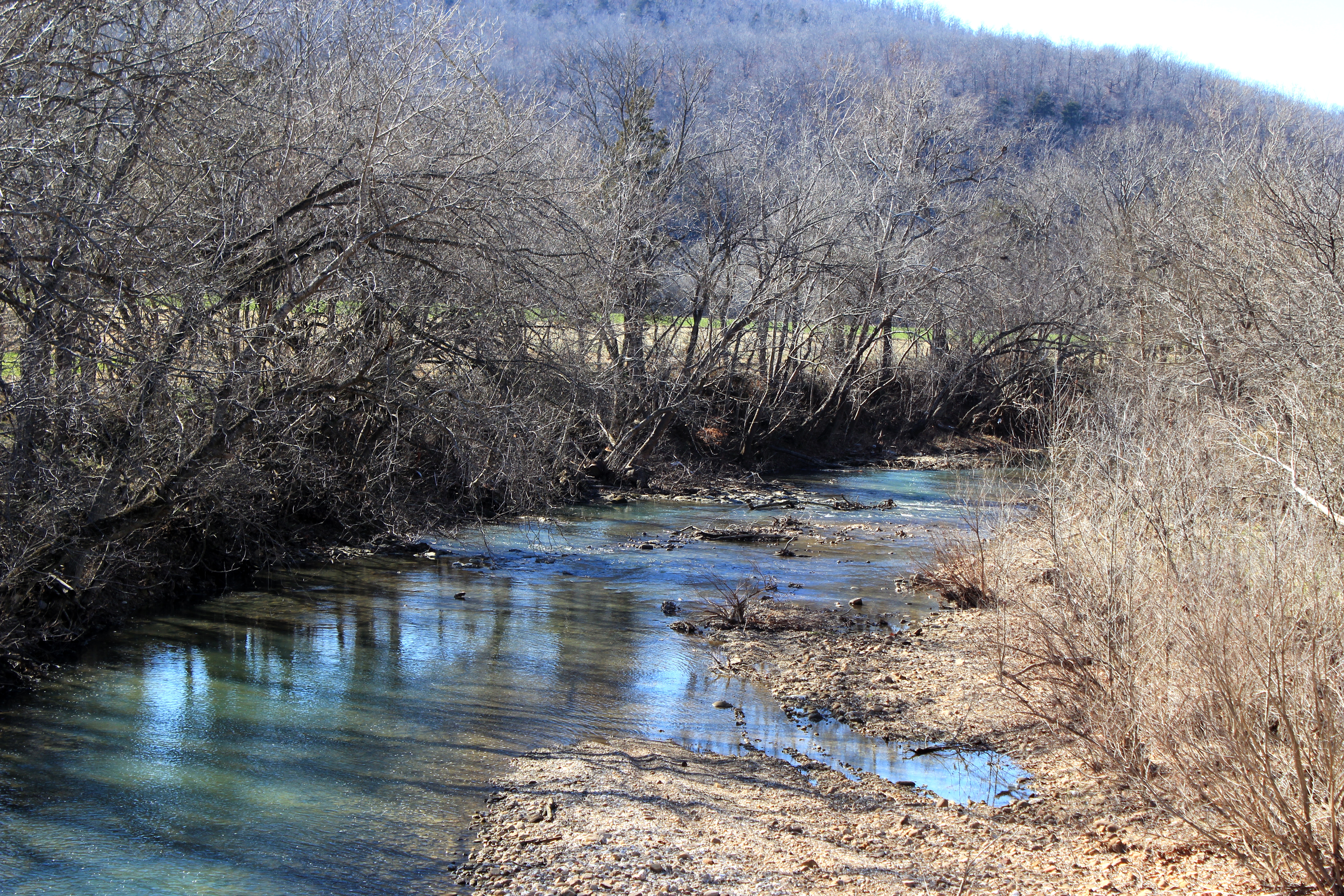
Osage Creek

Rockhouse Kings River HDR

Northwestern Arkansas Landscape (Carroll County, Arkansas)

Looking in the Deep

ONSC 2013

ONSC 2013

ONSC 2013

ONSC 2013
Topographic Map of Omega Township, AR, USA
Find elevation by address:

Places in Omega Township, AR, USA:
Places near Omega Township, AR, USA:
AR-21, Berryville, AR, USA
83 Co Rd 5054
458 Co Rd 704
1790 Us-62
Berryville
Public Square, Berryville, AR, USA
Prairie Township
881 Co Rd 603
Taqueria Navidad
386 Co Rd 3082
386 Co Rd 3082
Bella Vista
3512 Co Rd 302
Christview Ministries, 992 Cr 309
979 Co Rd 309
Madison, Huntsville, AR, USA
County Road 315
California Township
Quigley Castle Rd, Eureka Springs, AR, USA
Clifty Hwy, Rogers, AR, USA
Recent Searches:
- Elevation of Corso Fratelli Cairoli, 35, Macerata MC, Italy
- Elevation of Tallevast Rd, Sarasota, FL, USA
- Elevation of 4th St E, Sonoma, CA, USA
- Elevation of Black Hollow Rd, Pennsdale, PA, USA
- Elevation of Oakland Ave, Williamsport, PA, USA
- Elevation of Pedrógão Grande, Portugal
- Elevation of Klee Dr, Martinsburg, WV, USA
- Elevation of Via Roma, Pieranica CR, Italy
- Elevation of Tavkvetili Mountain, Georgia
- Elevation of Hartfords Bluff Cir, Mt Pleasant, SC, USA